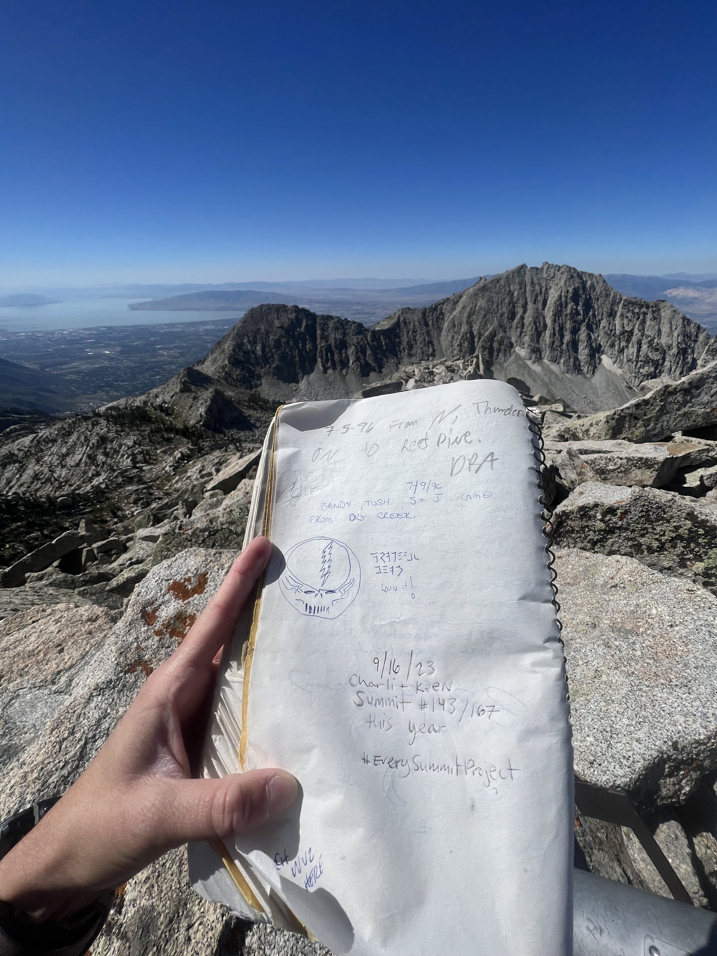
Every Single Summit List:
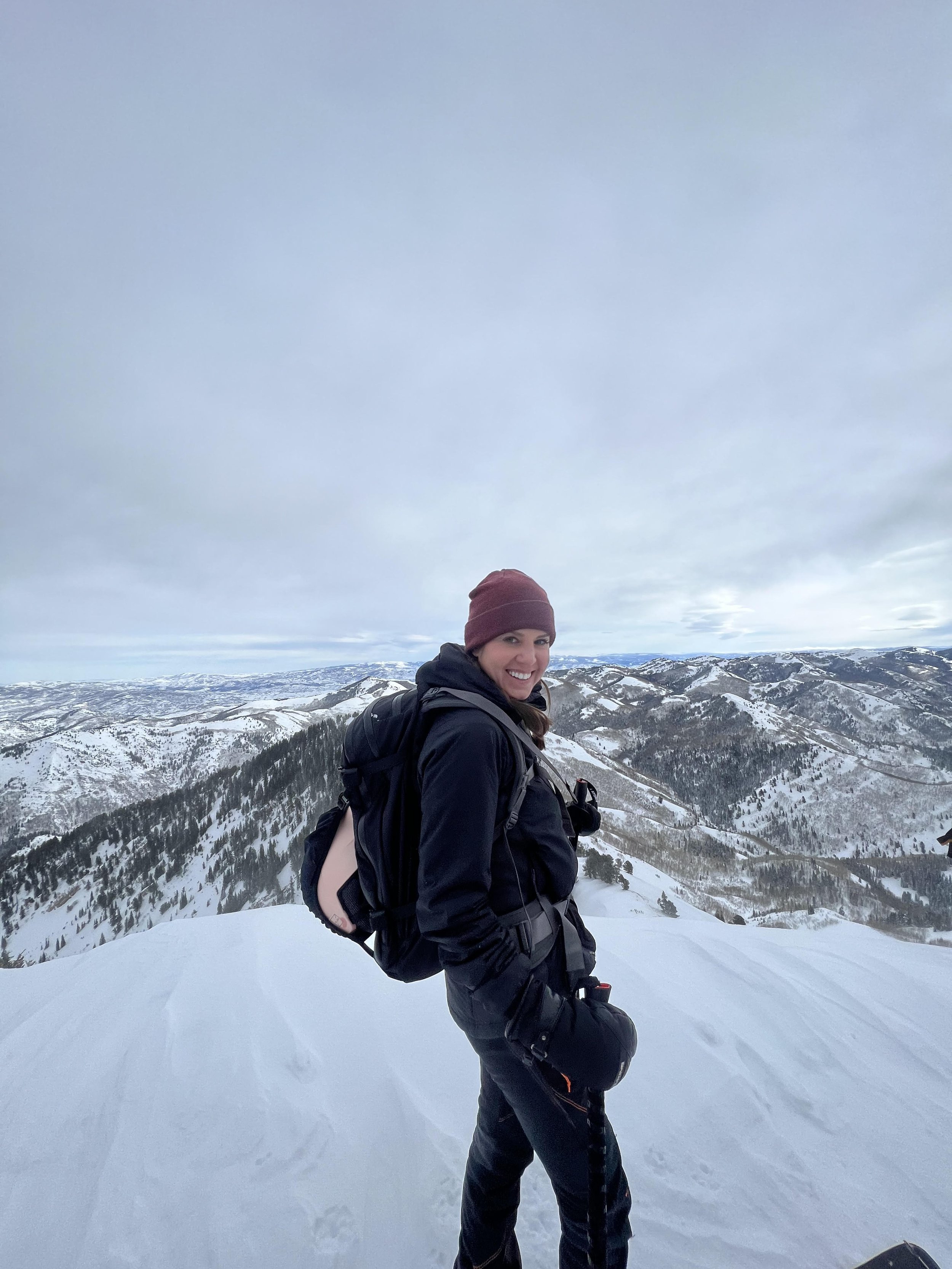
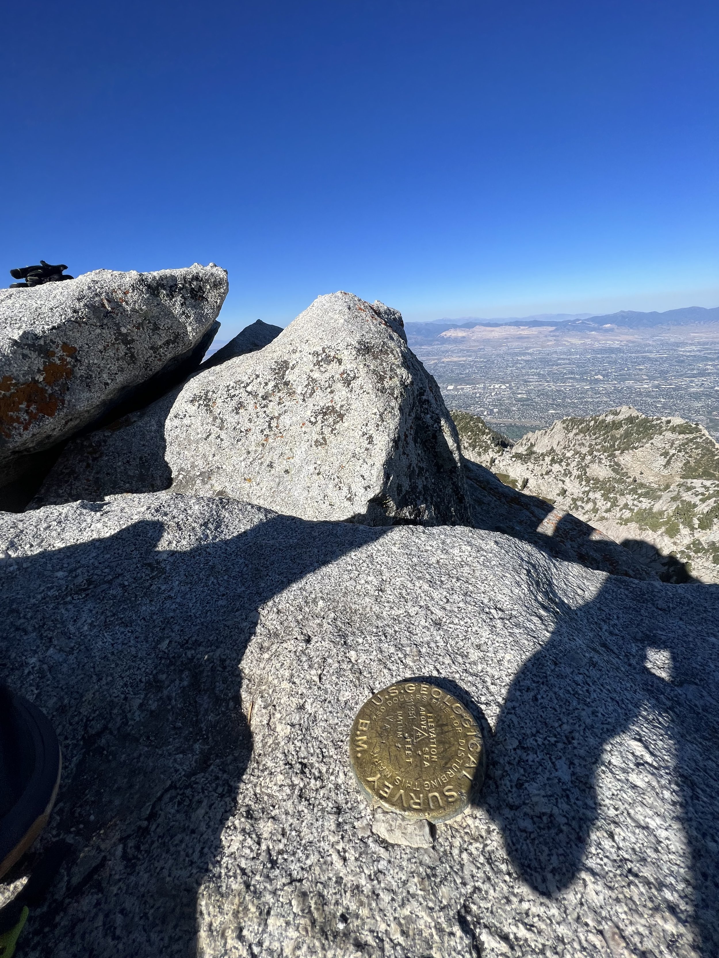
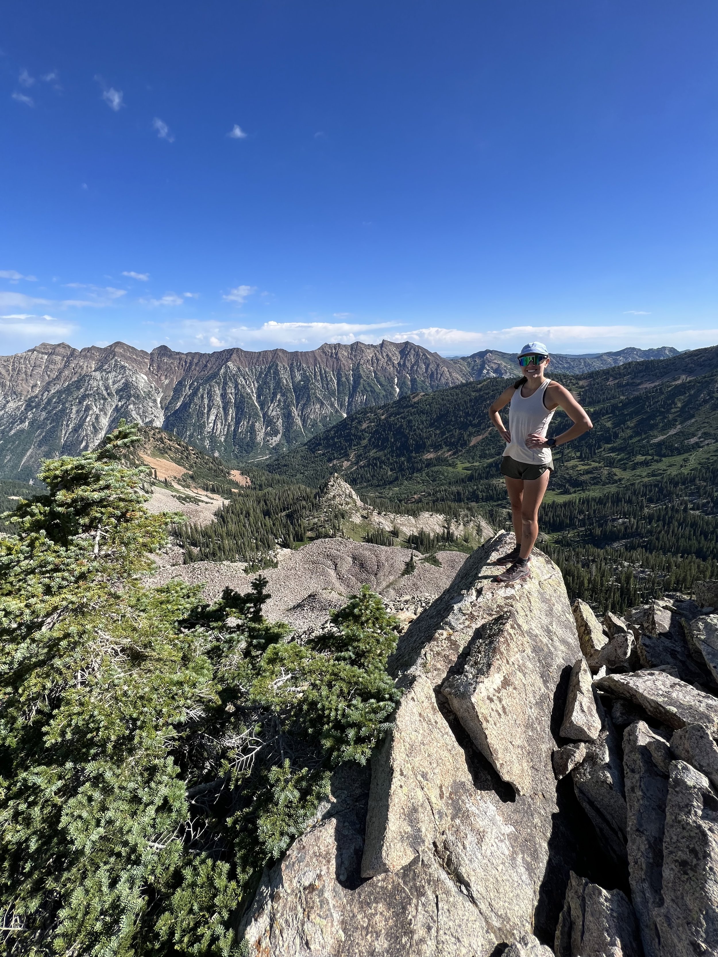
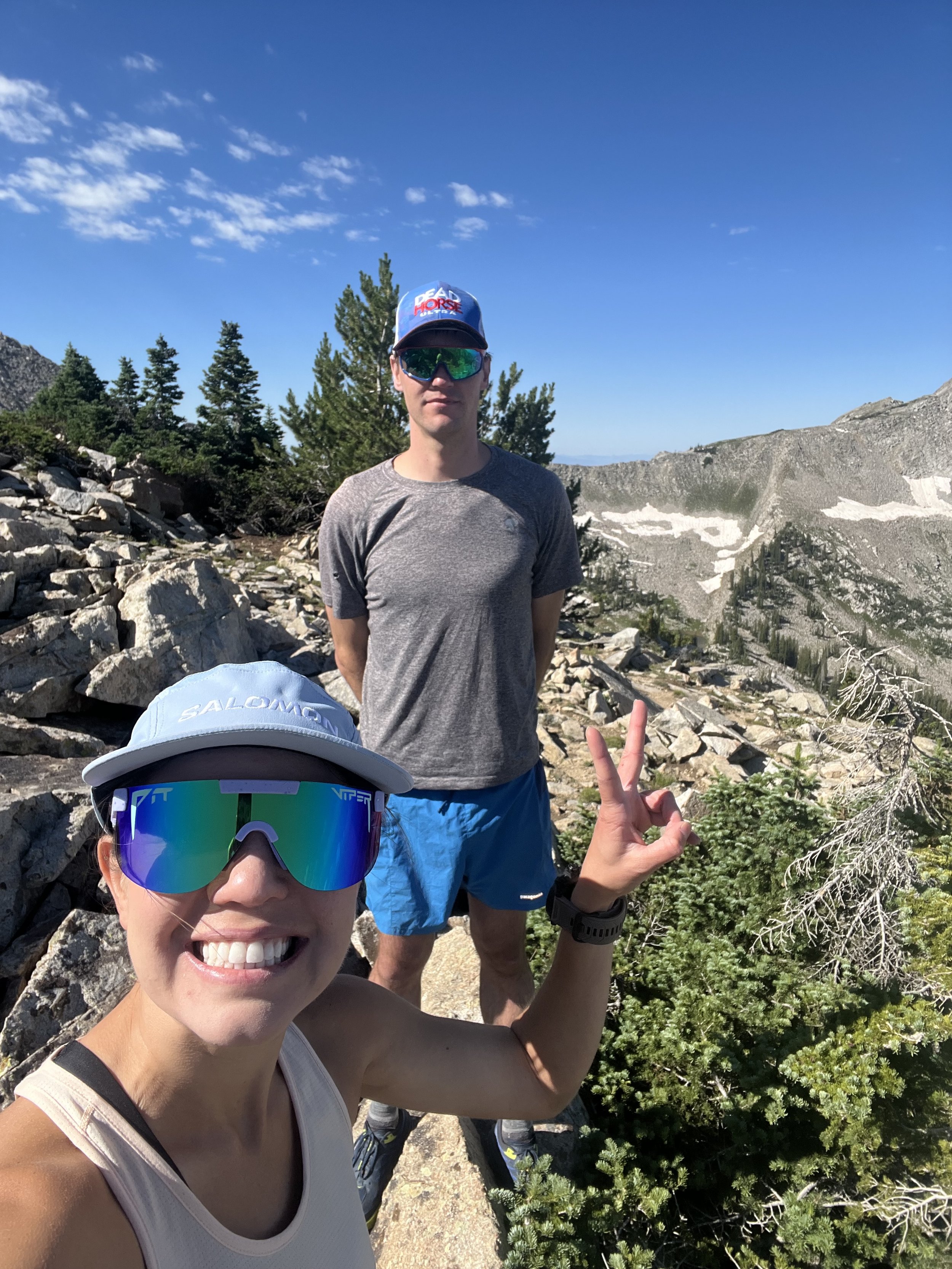
SUMMIT 156-158 - Middle Bell Tower, East Bell Tower, West Bell Tower - October 21, 2023
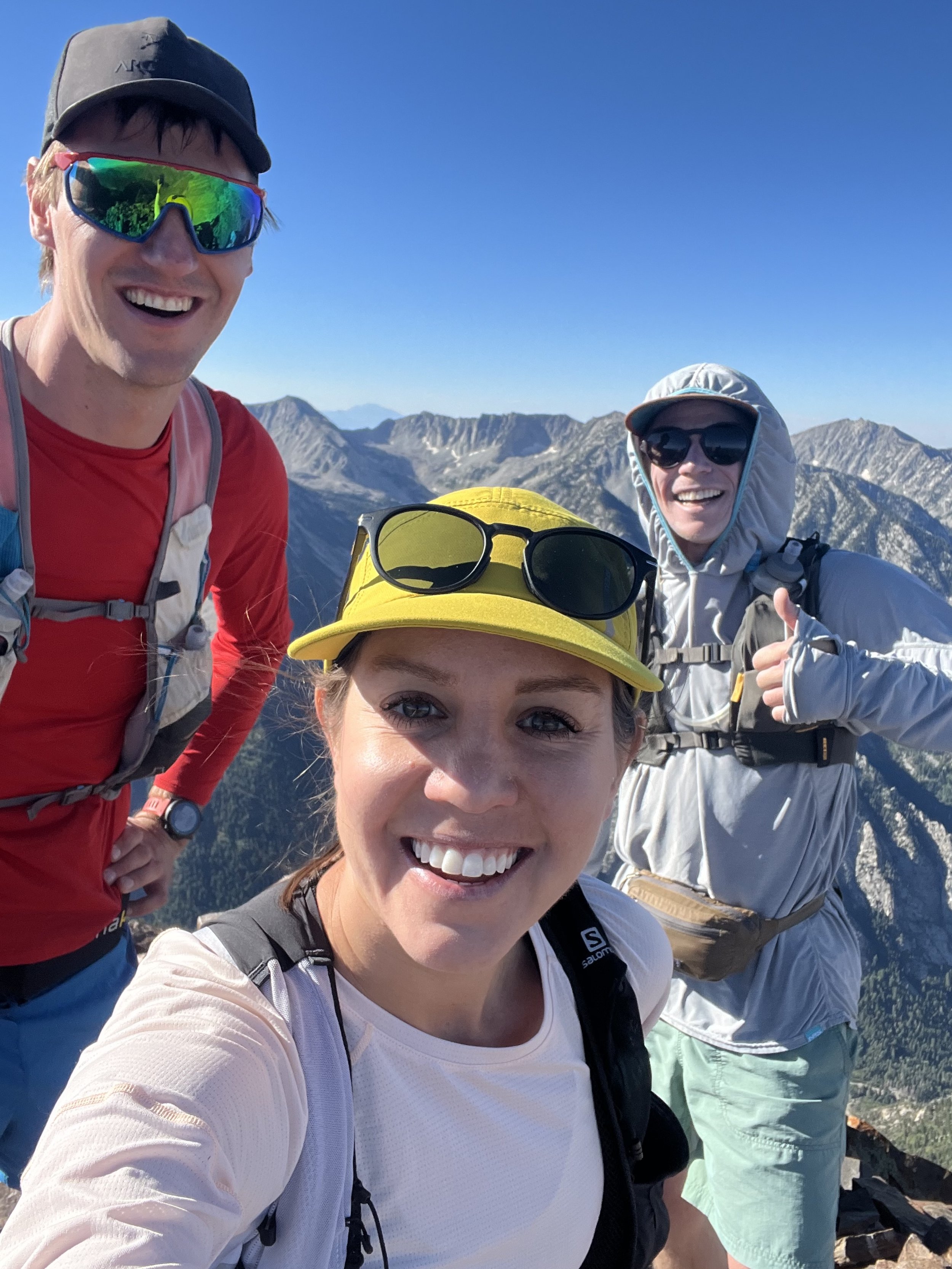
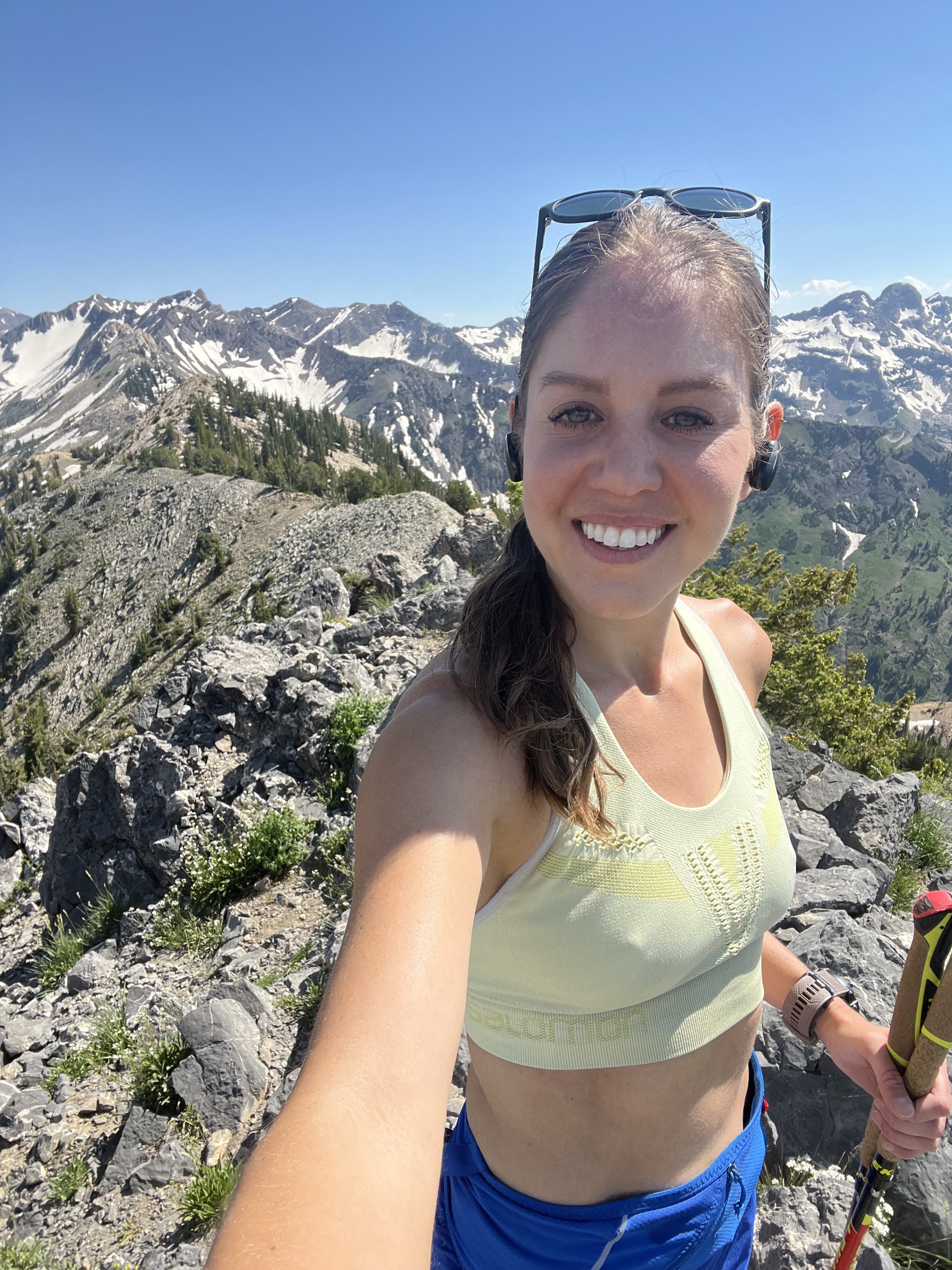
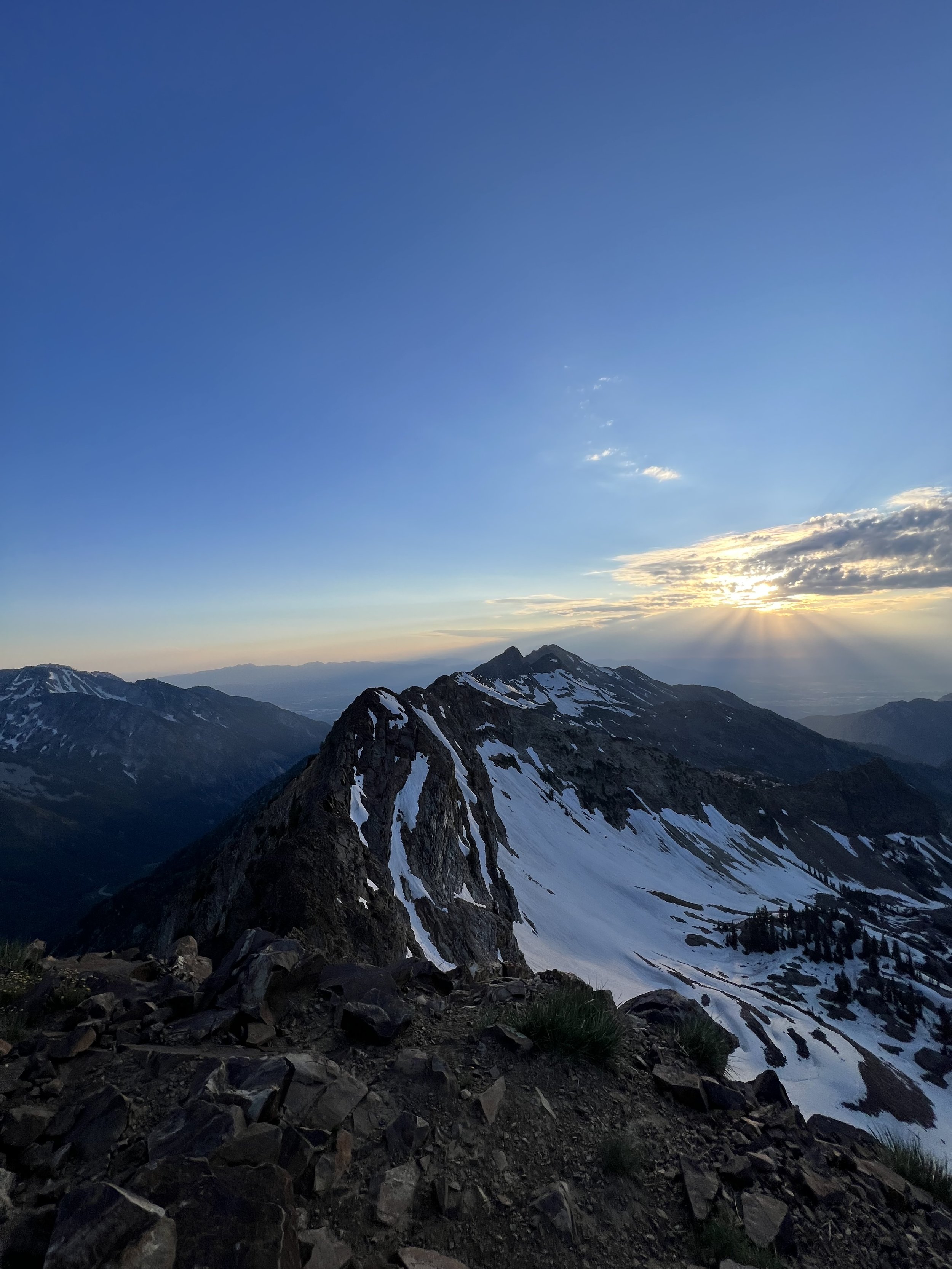
The last 3 summits. These took a perfect weather window aligning with a capable partner. A month after the last outing!
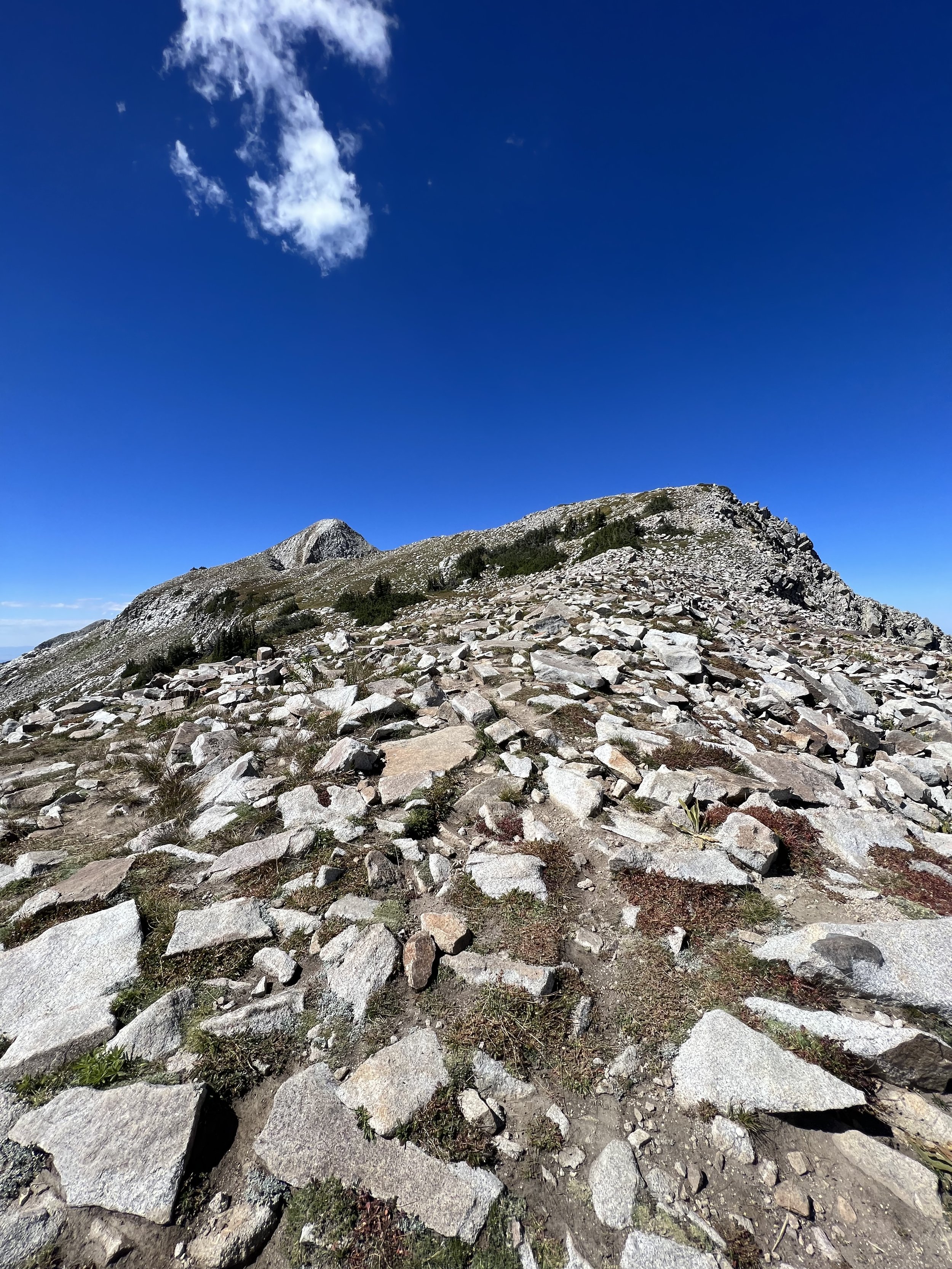
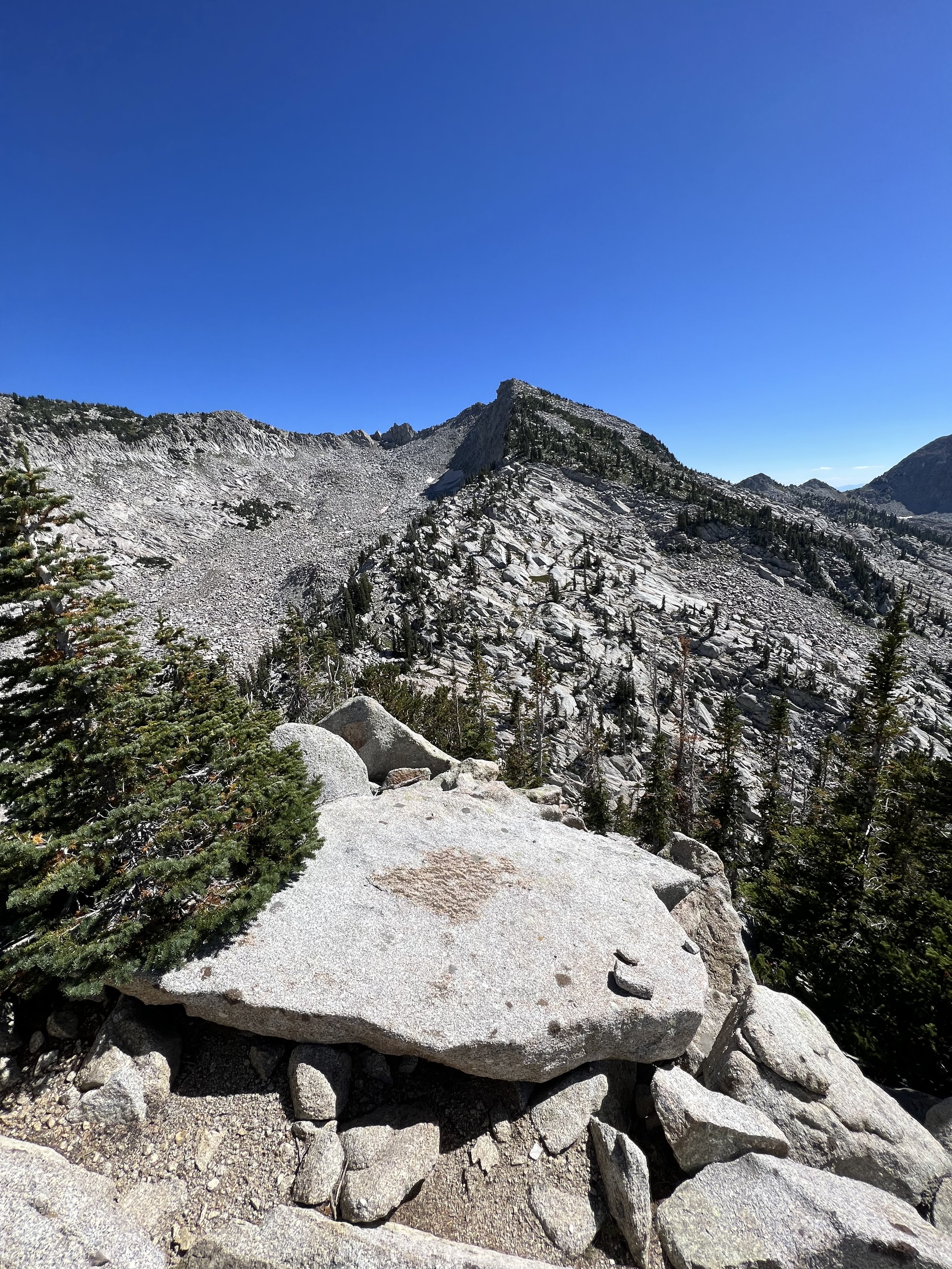
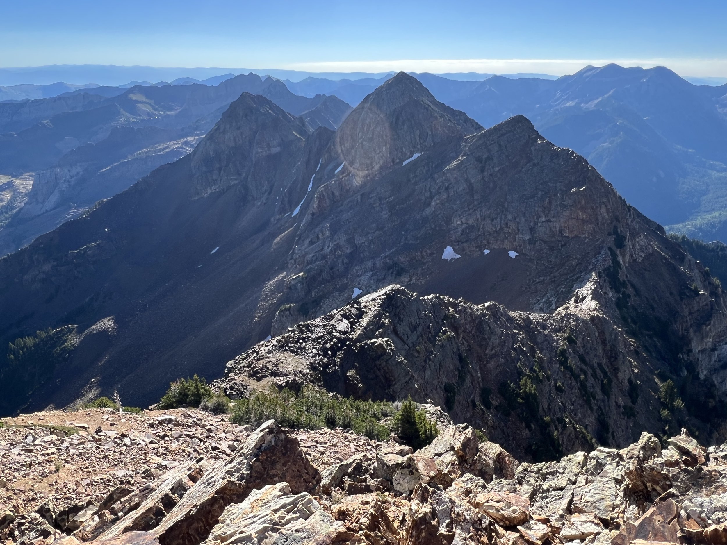
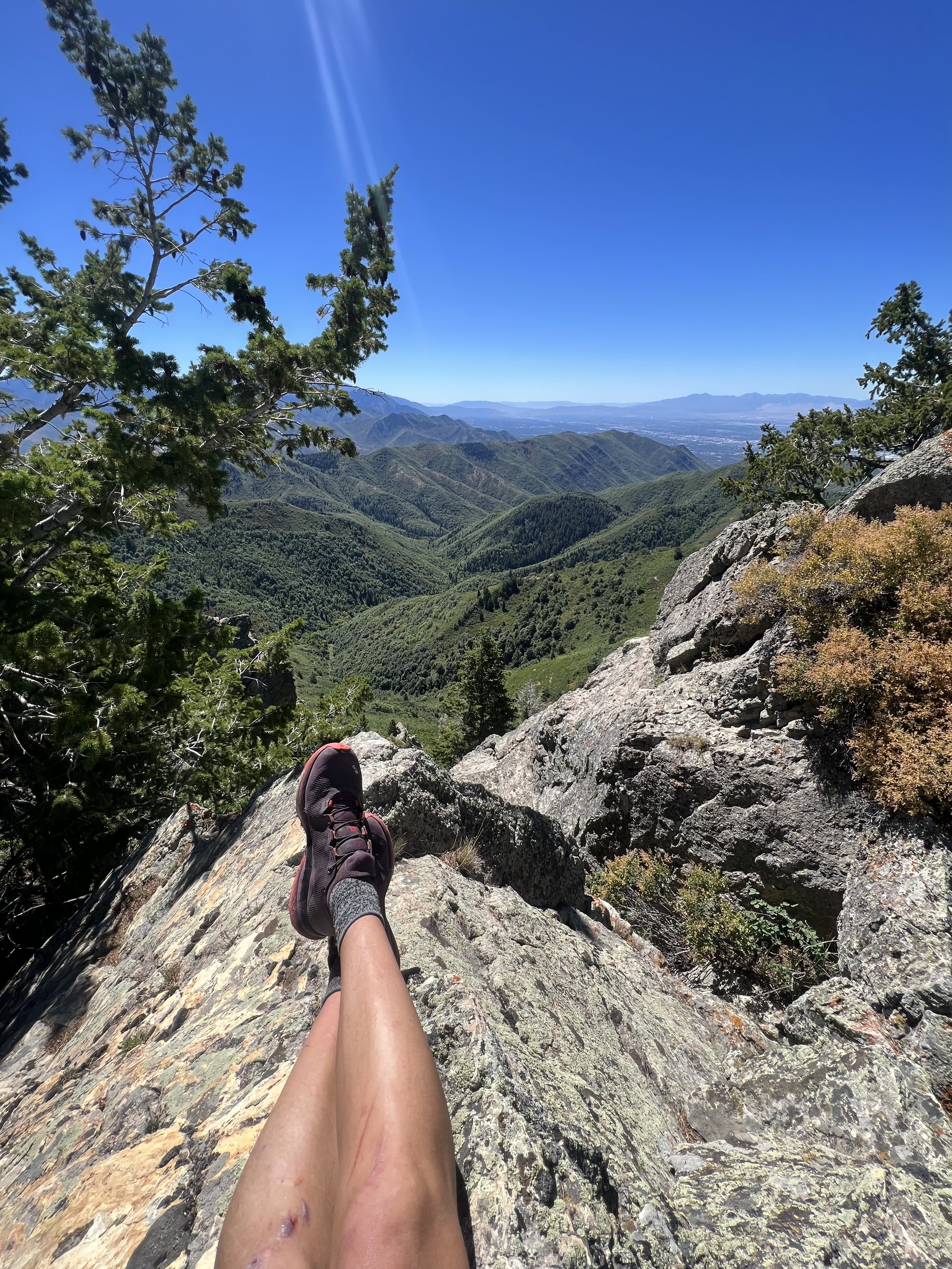
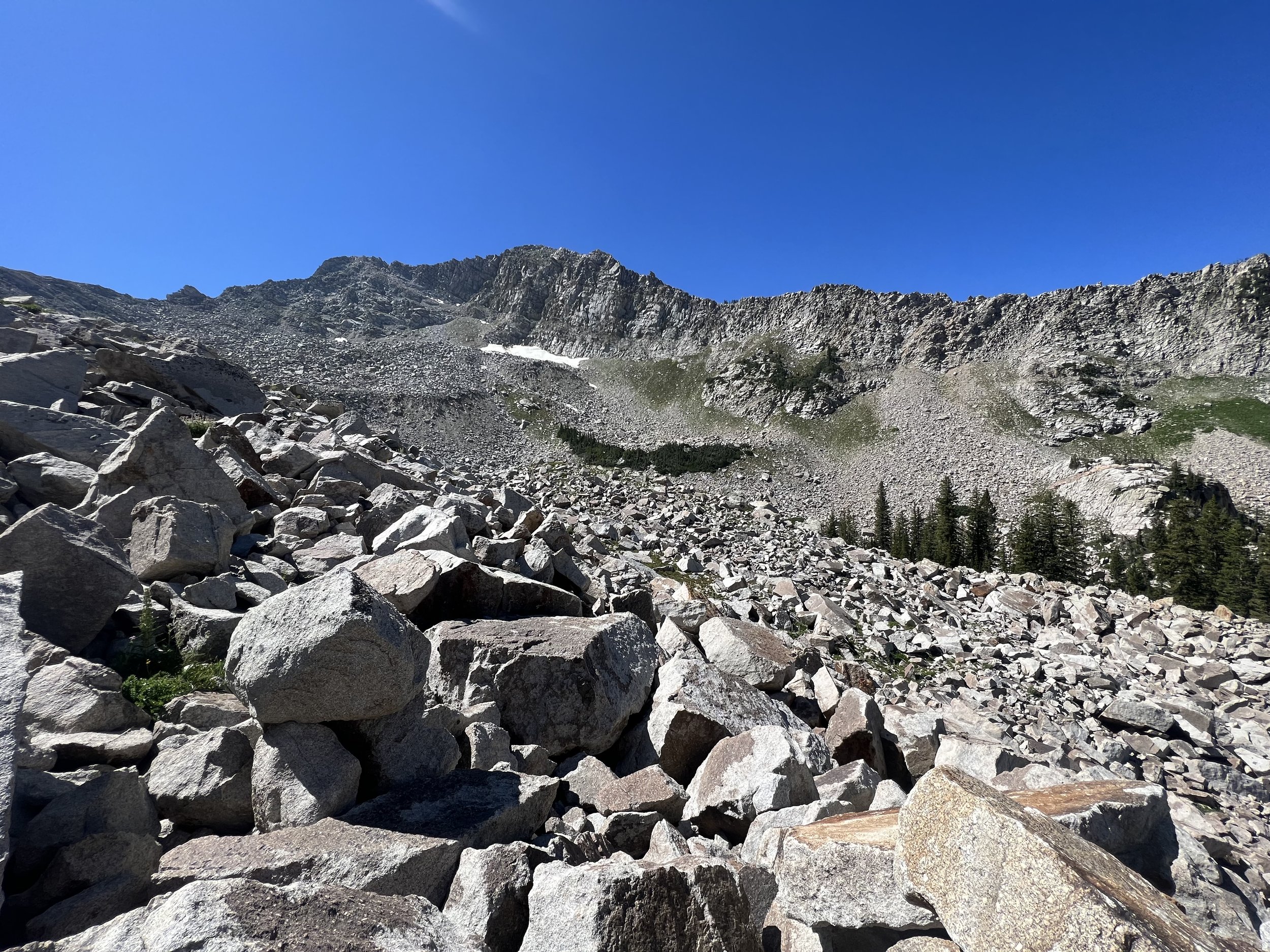
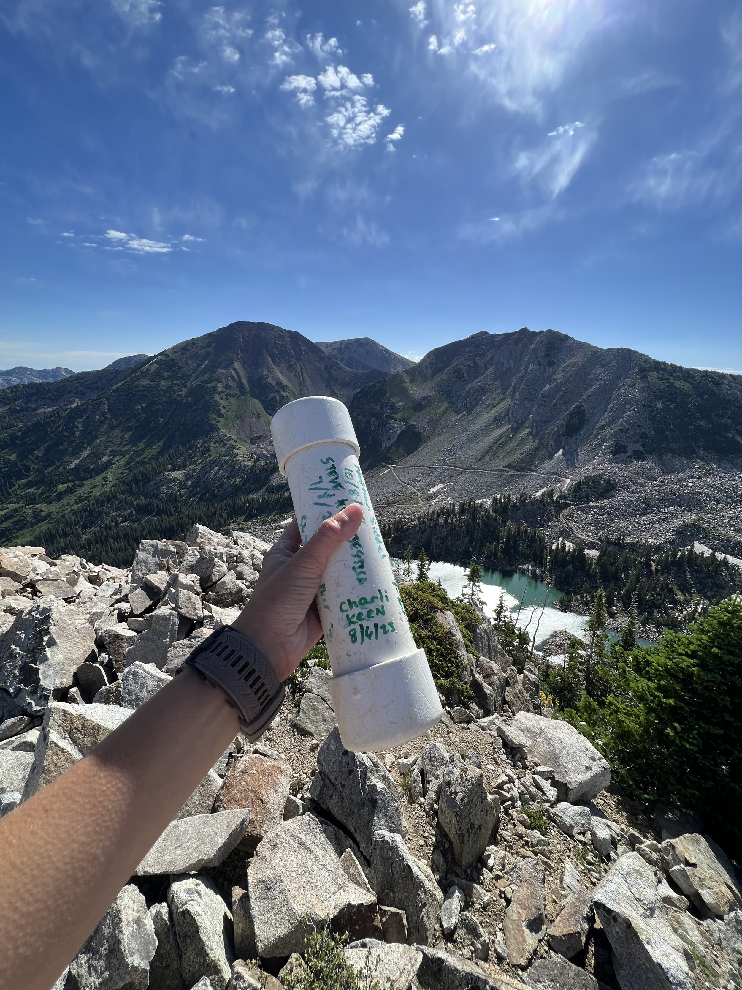
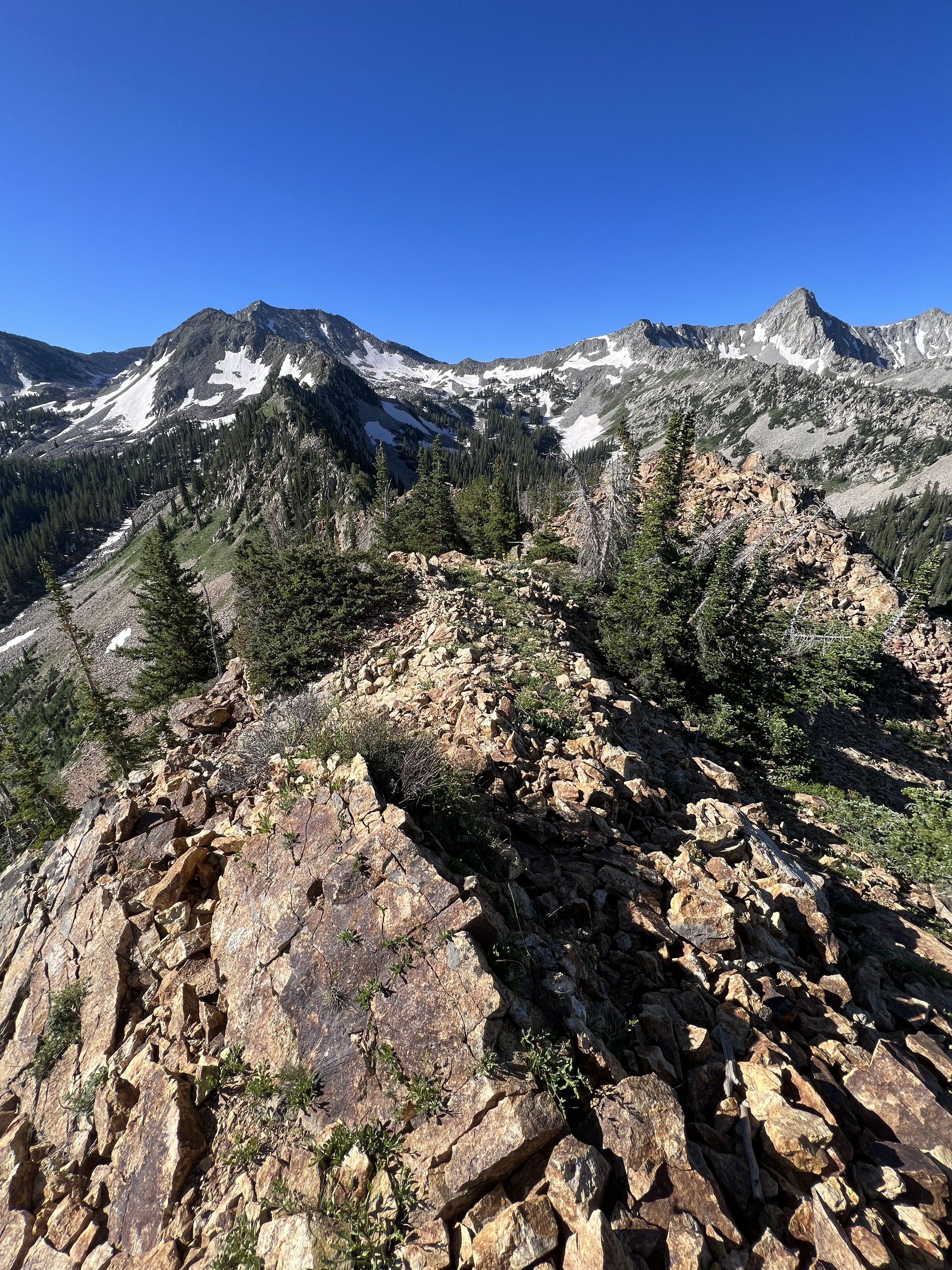
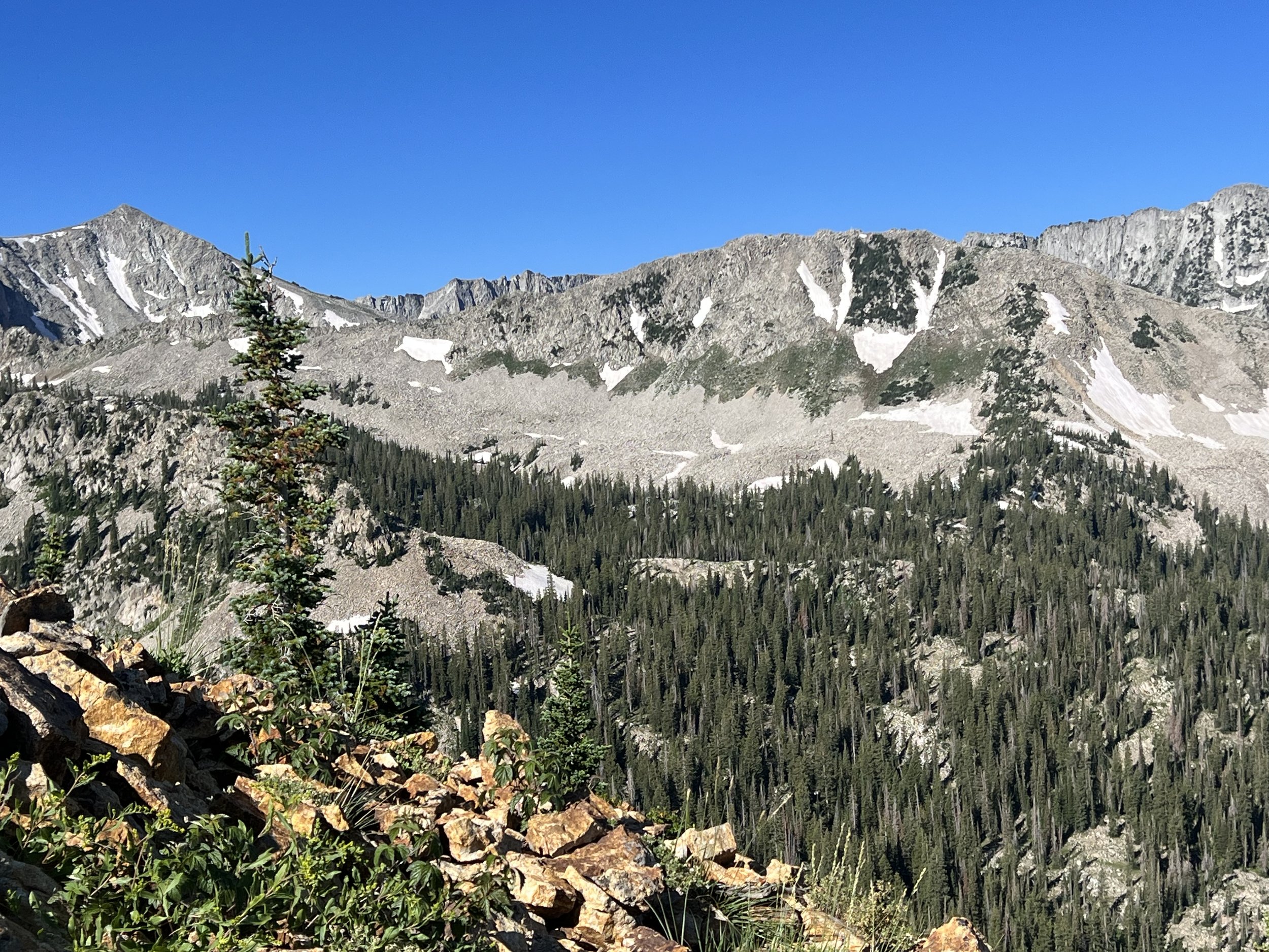
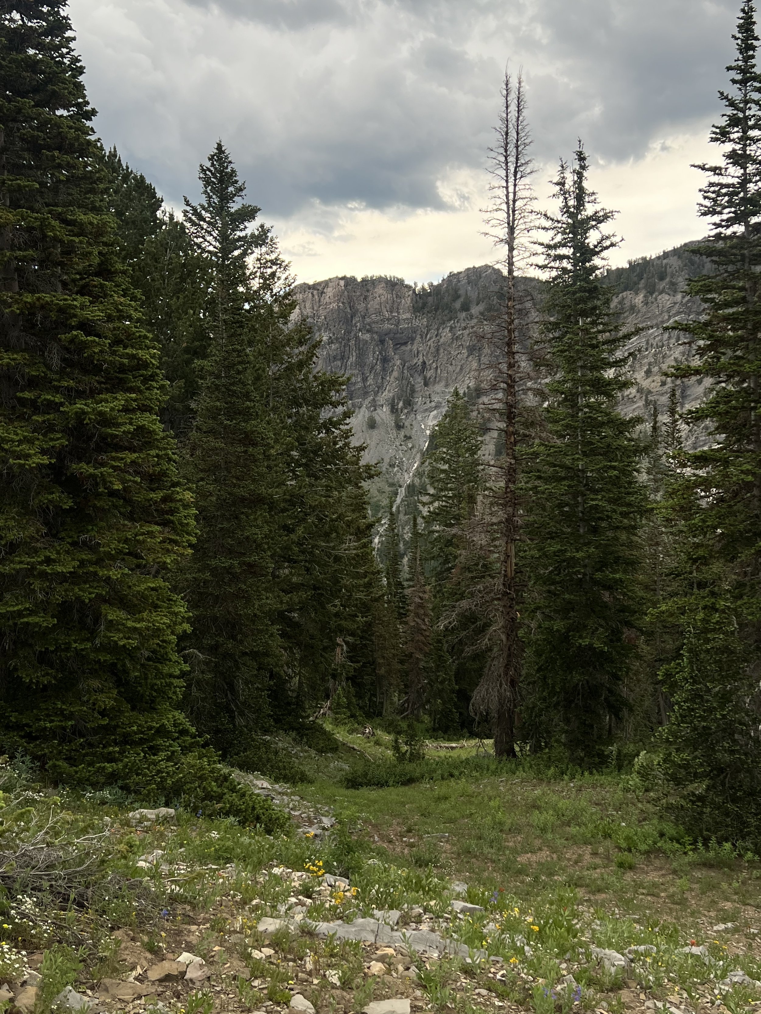
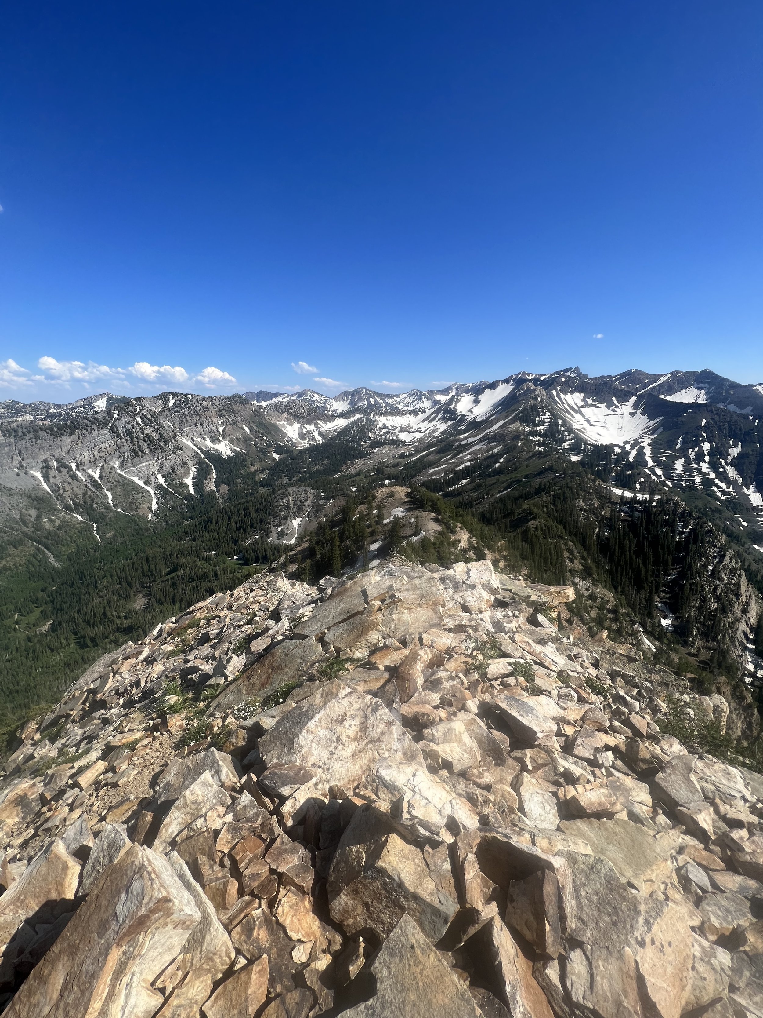
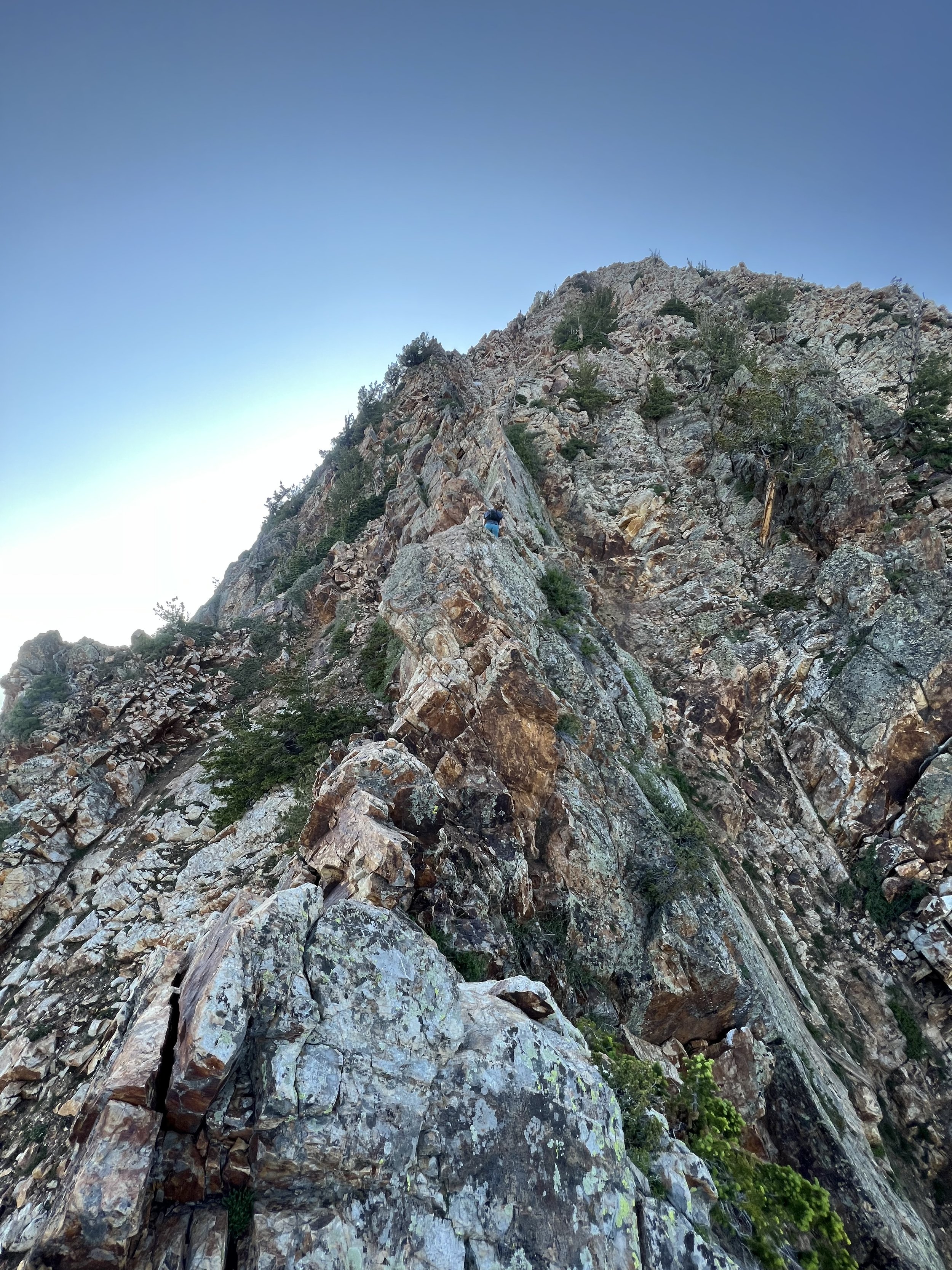
The Bell Towers are not your average summits. They require access only gained by rock climbing, and of the routes available, there are few that are doable for most climbers. They require trad expertise (placing your own gear as you go) and are generally graded higher. The lower graded routes aren’t exactly easier in the way that they don’t possess reliable gear placements or they are not often traveled so the rock integrity is largely questionable and unsafe. We chose to gain the Middle Bell Tower by way of “Arm & Hammer” which goes at 5.10 A0. If you’re not familiar with “A0” it means Aid climbing. If you were to free climb the route, it goes at a much harder 5.11+. Feel free to ask me questions if this information does not make any sense, it’s not common knowledge for really anyone except rock climbers.
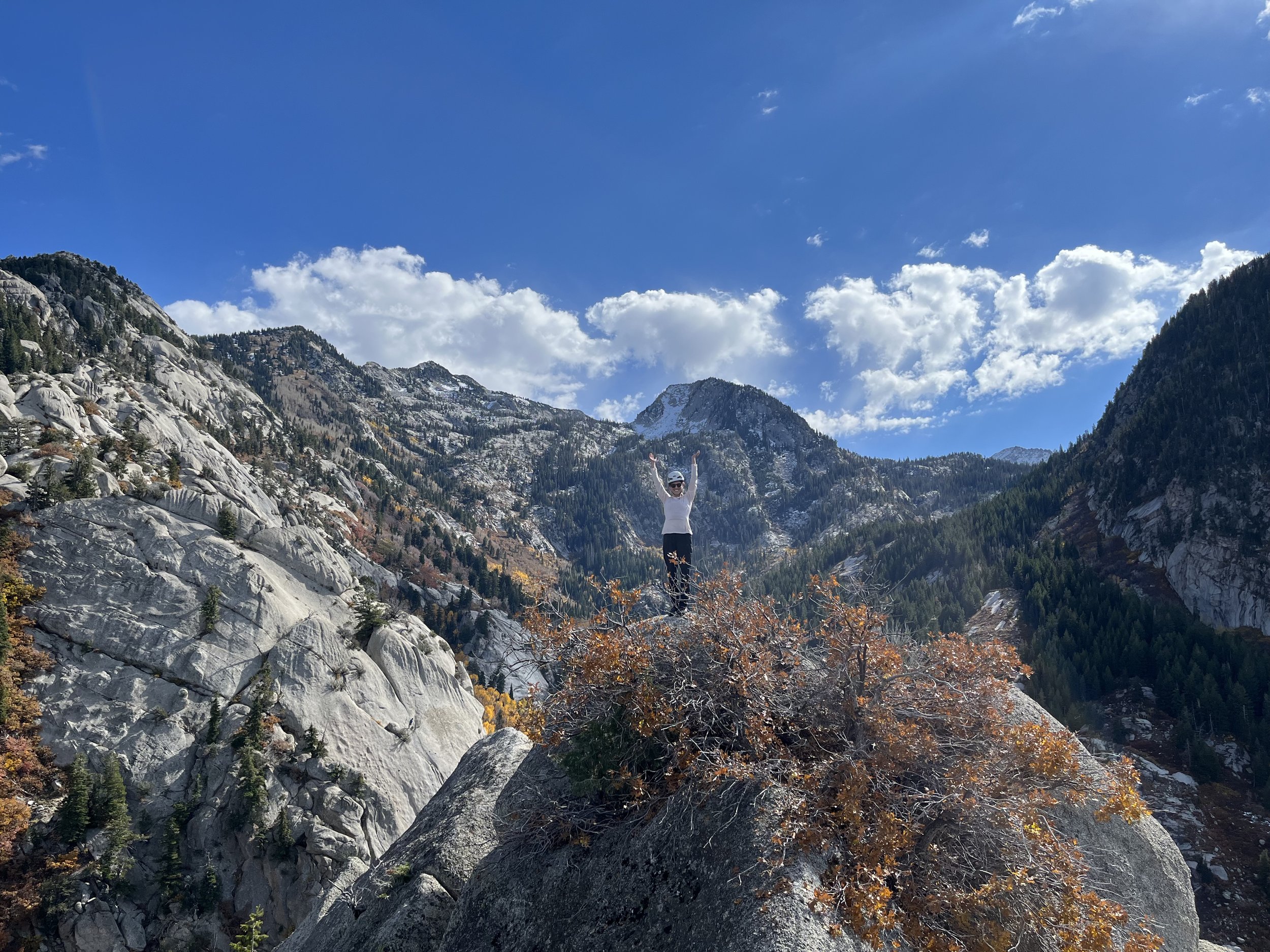
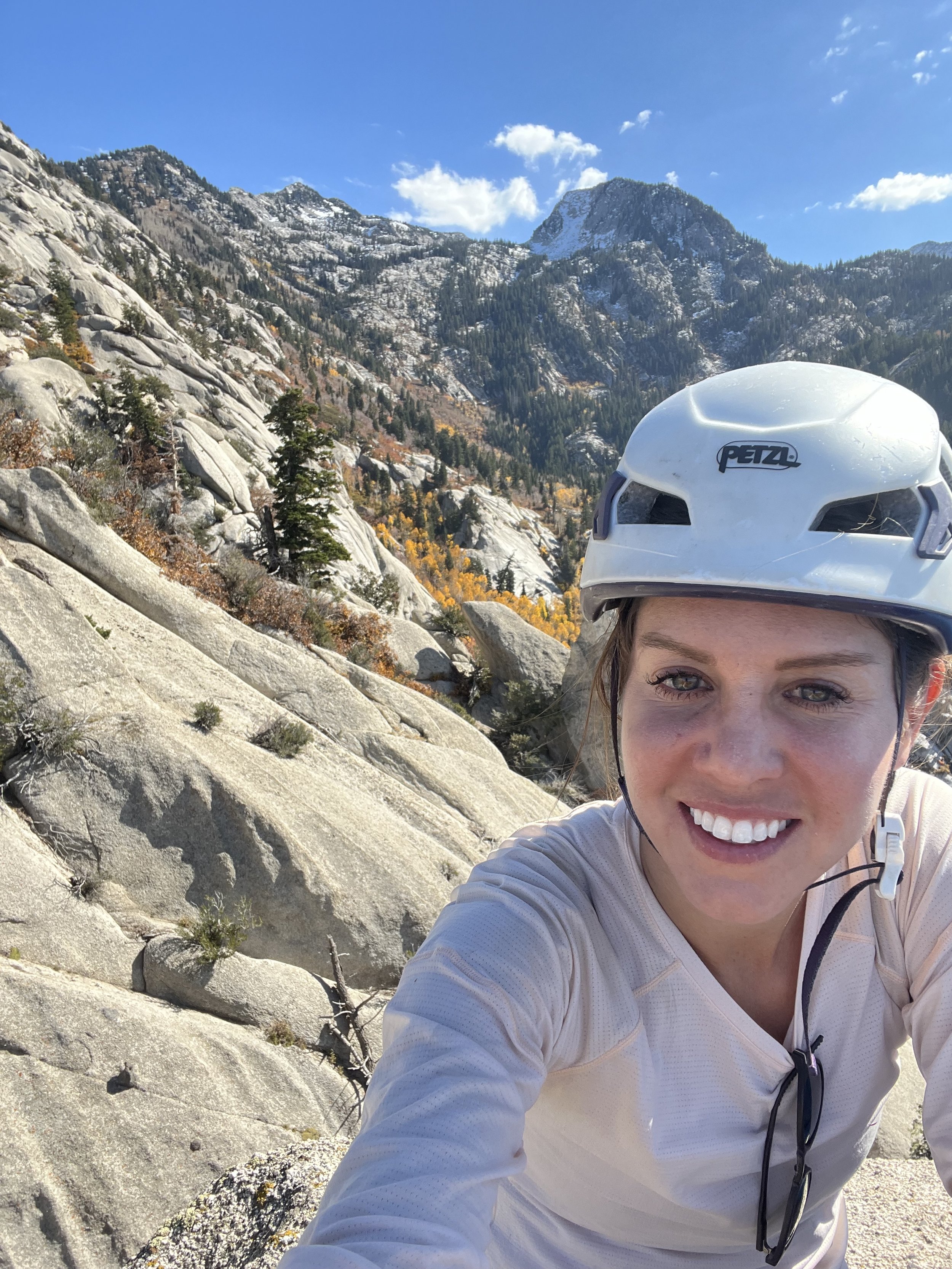
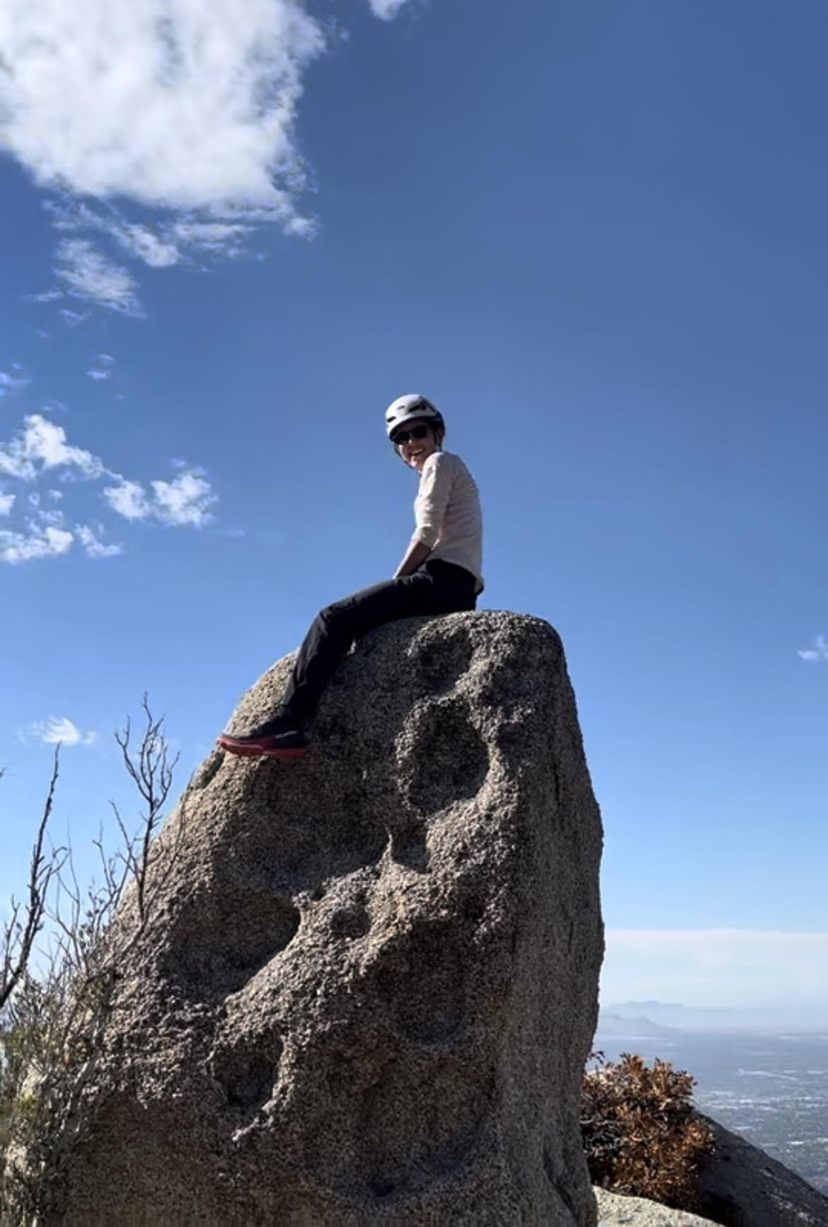
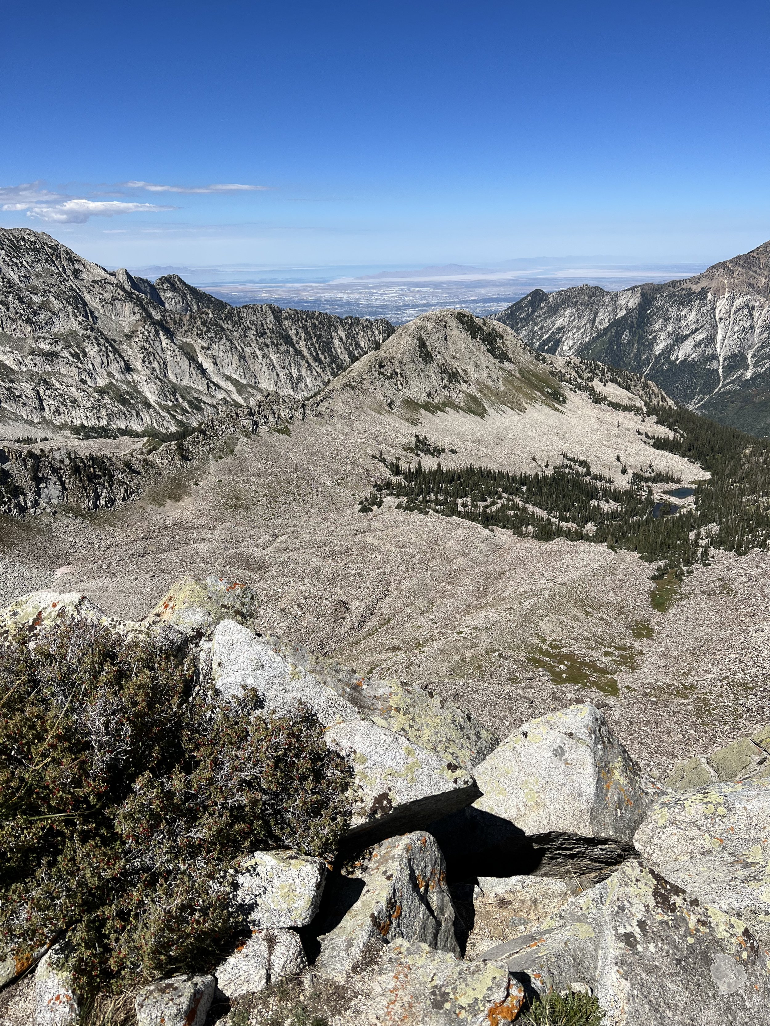
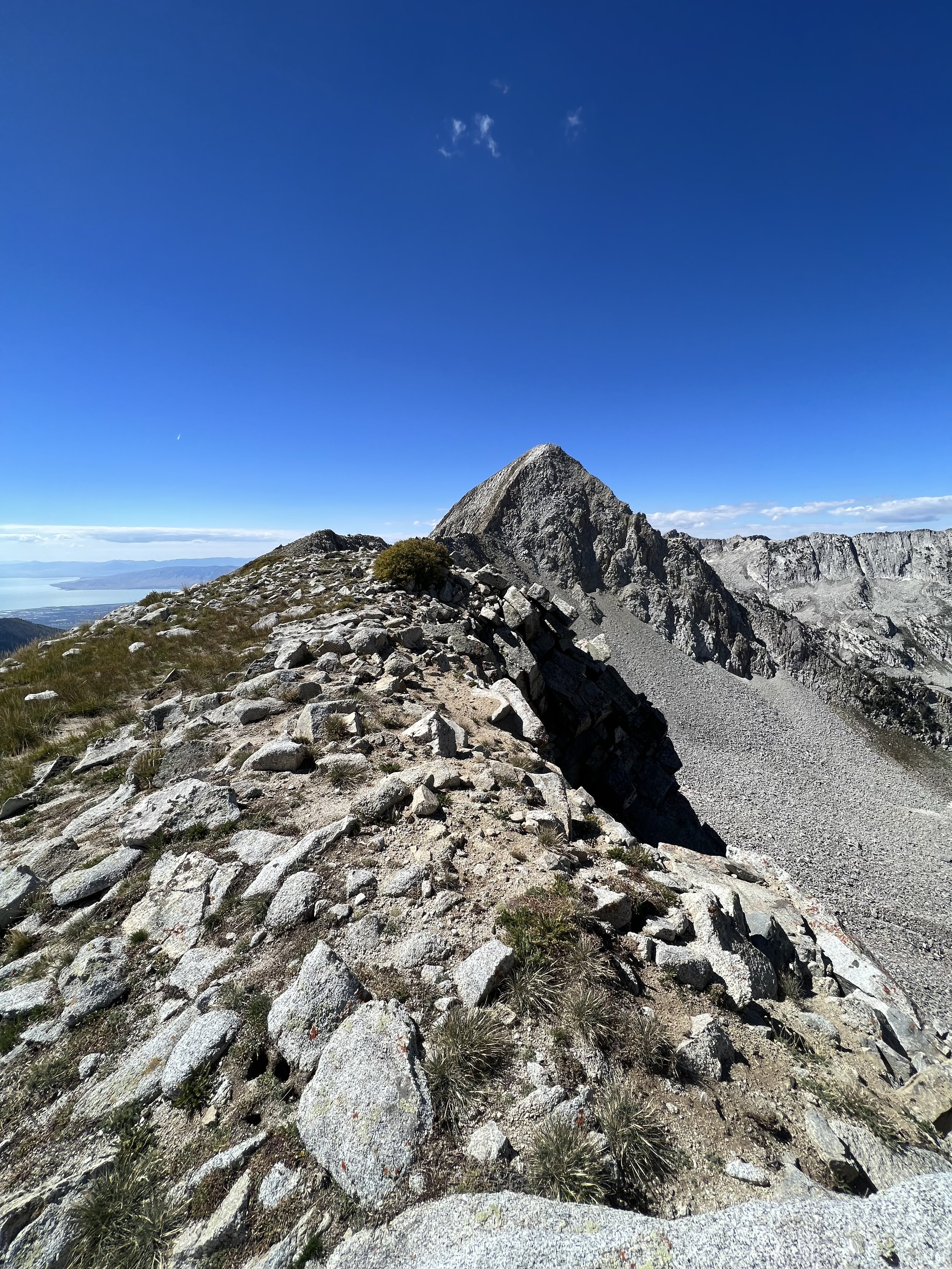
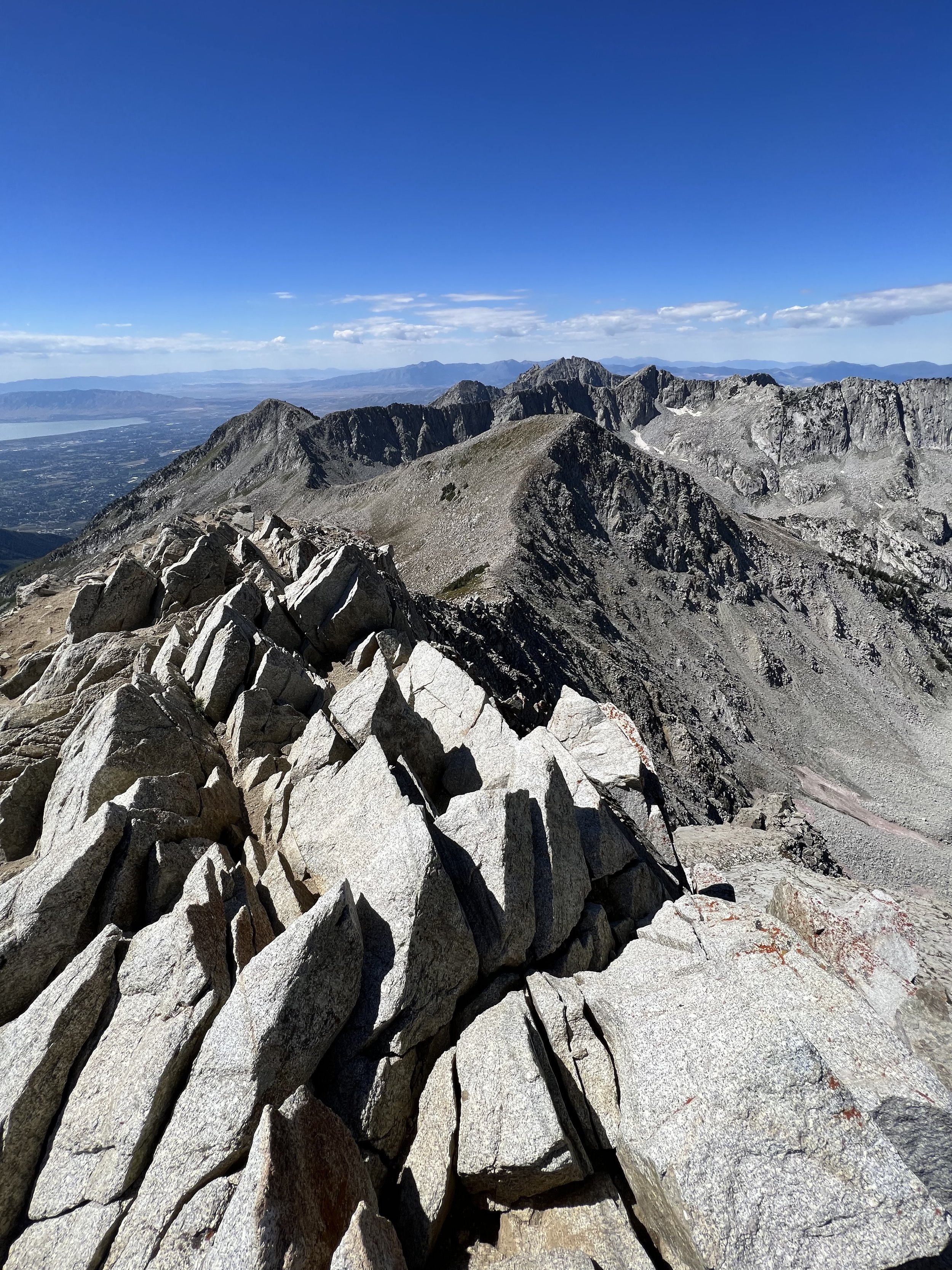
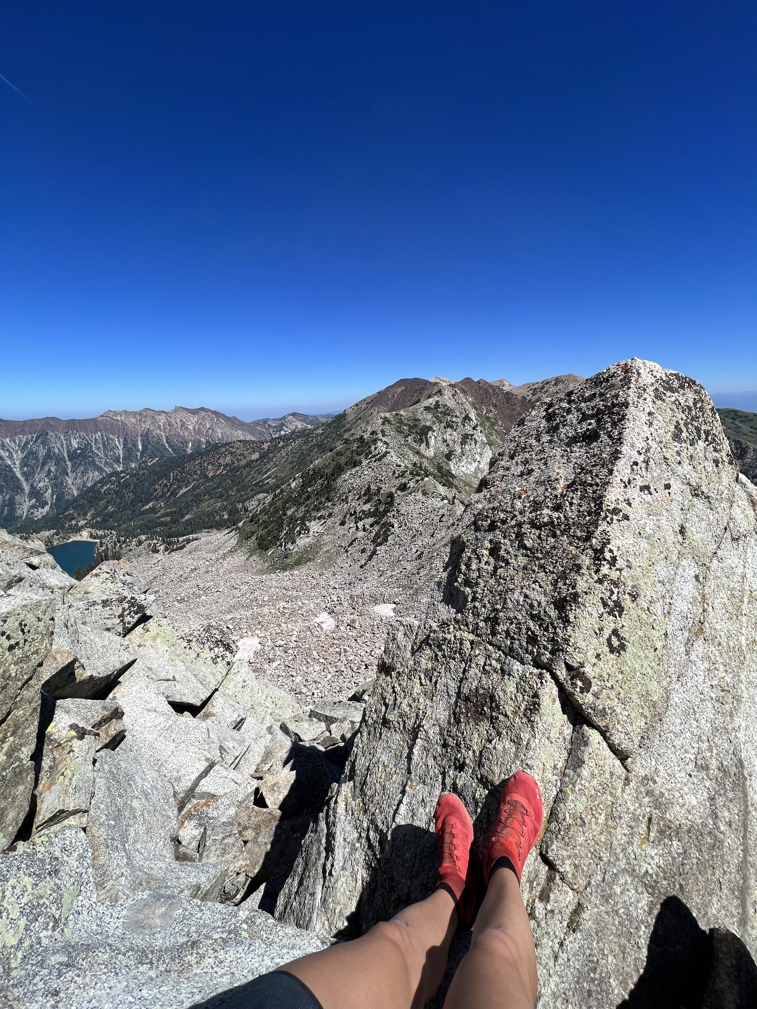
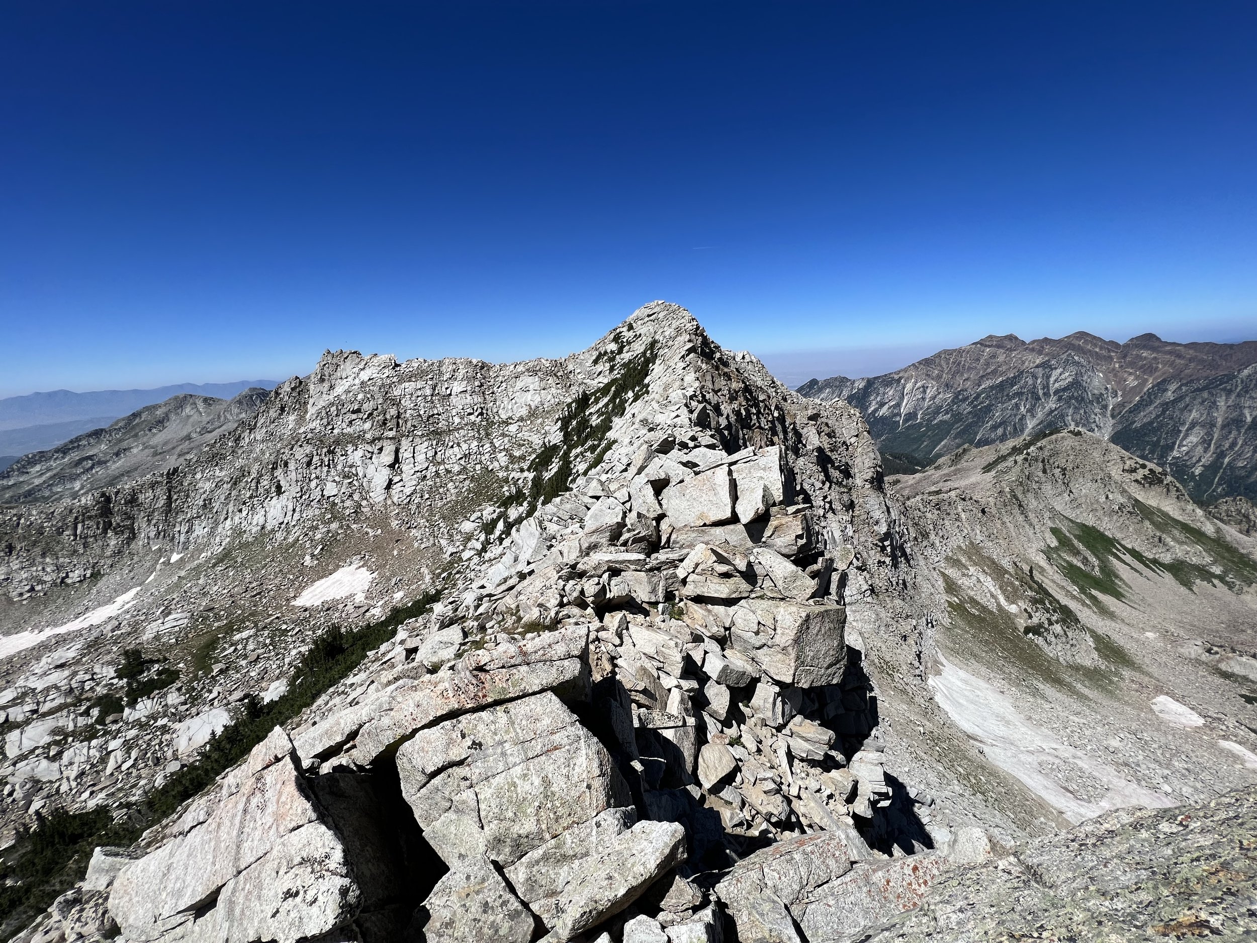
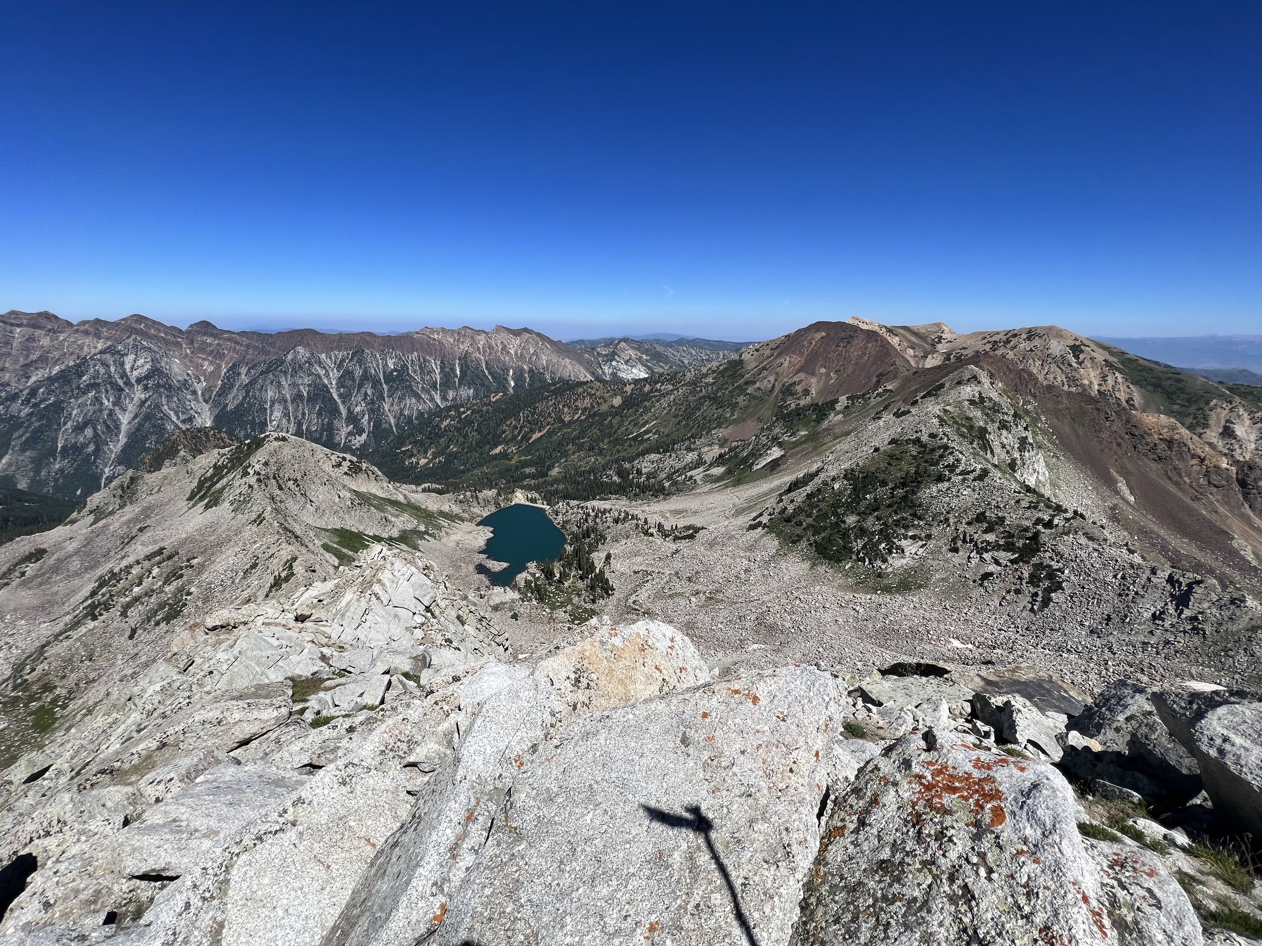
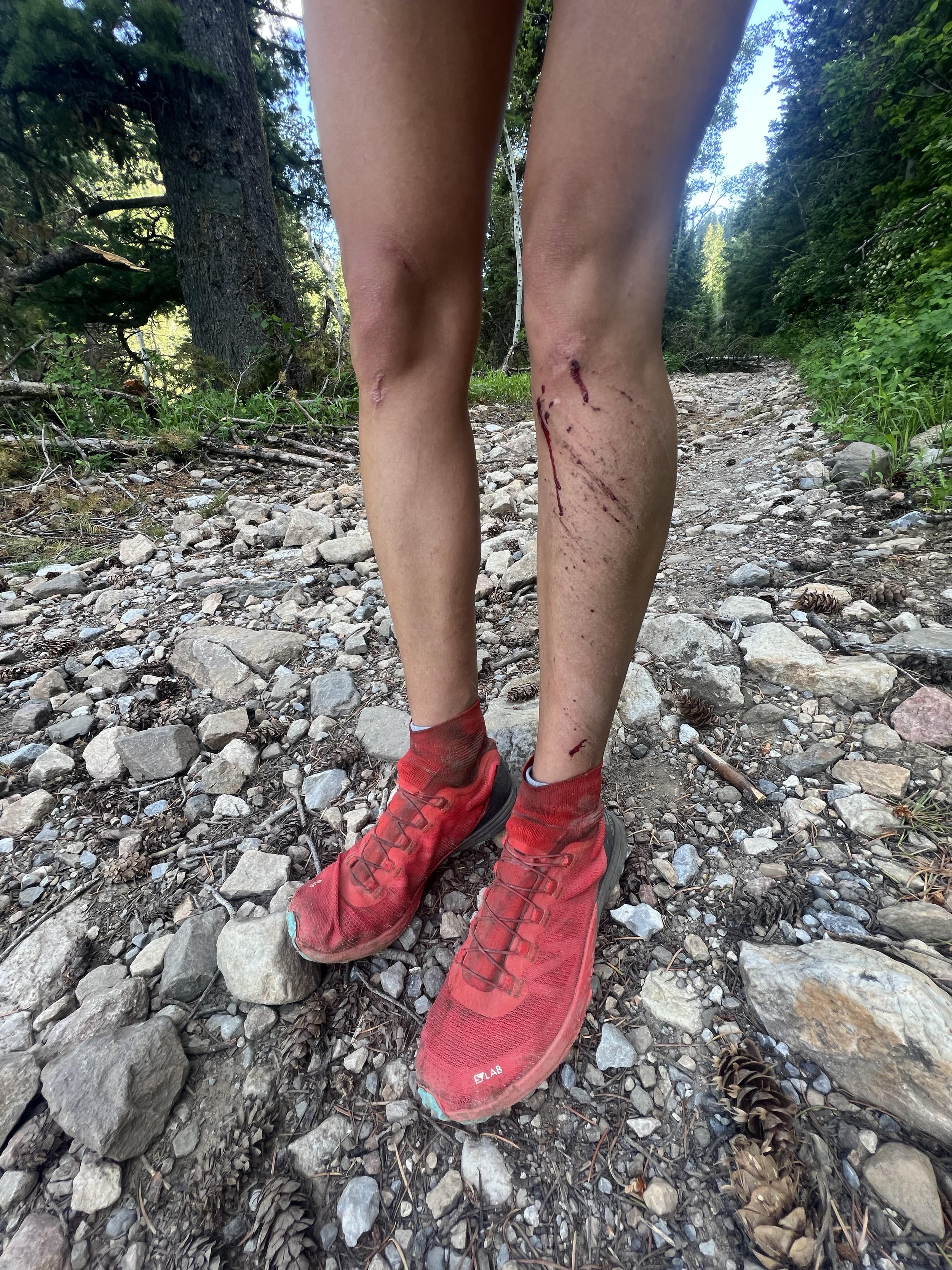
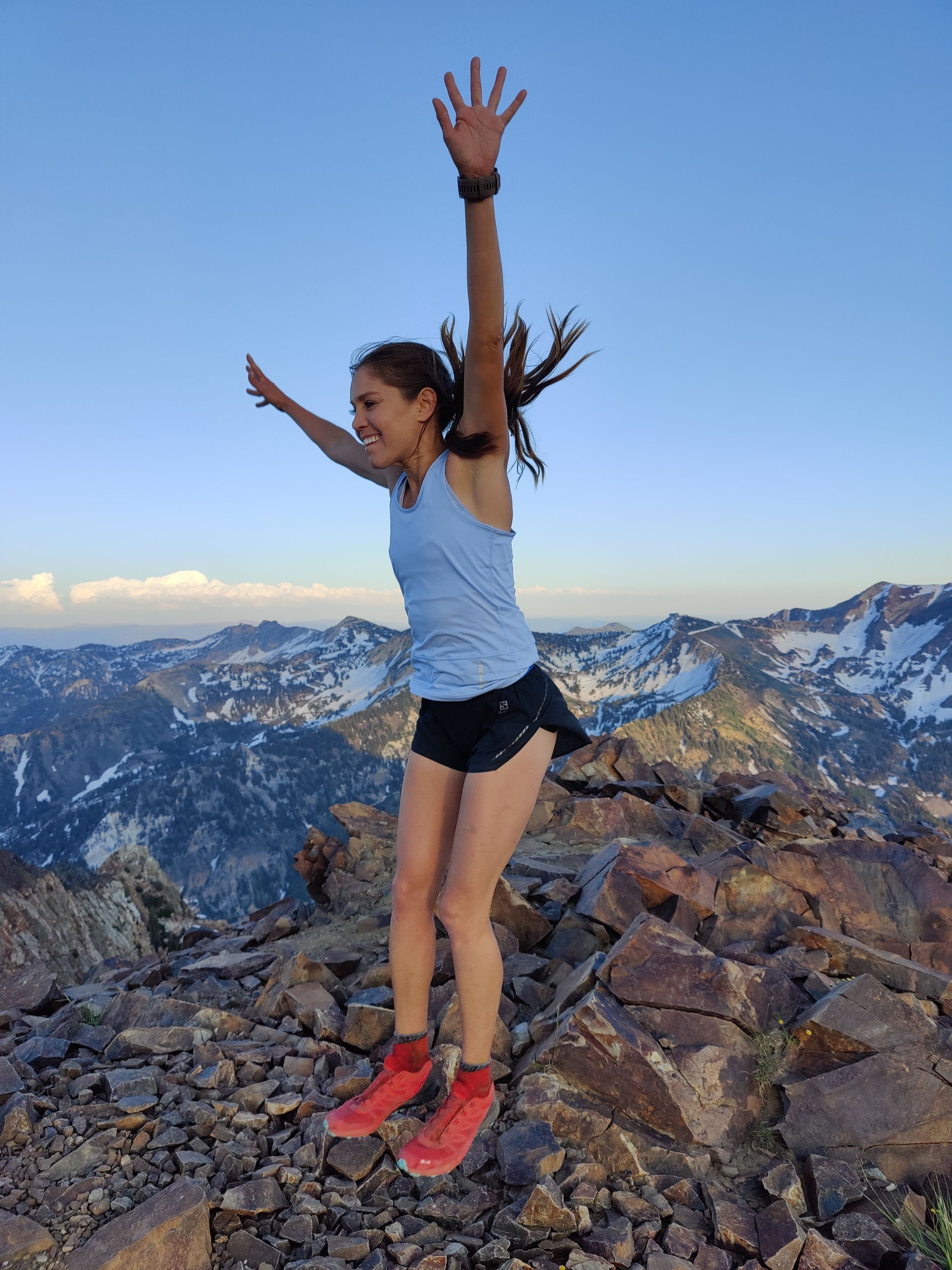
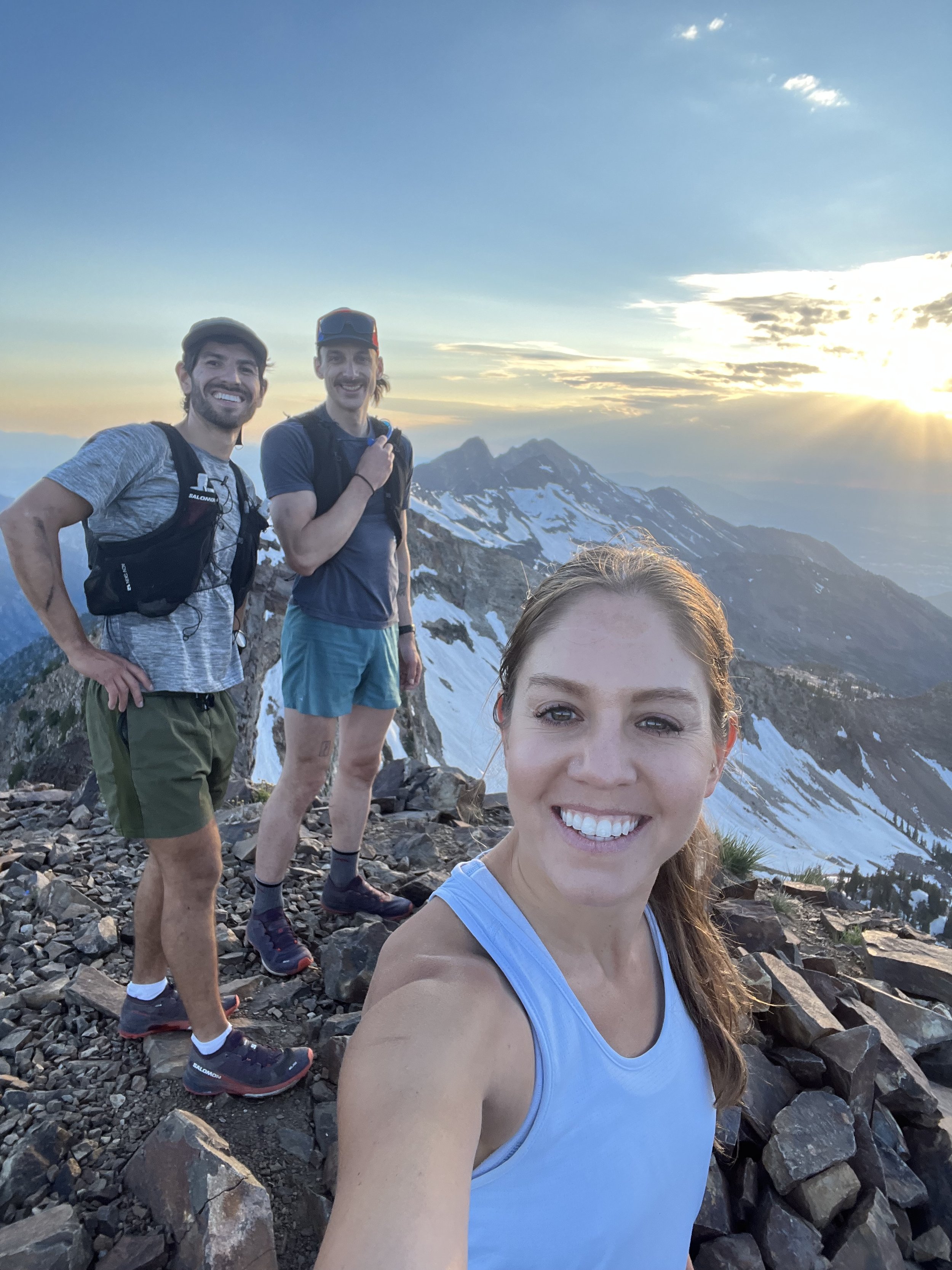
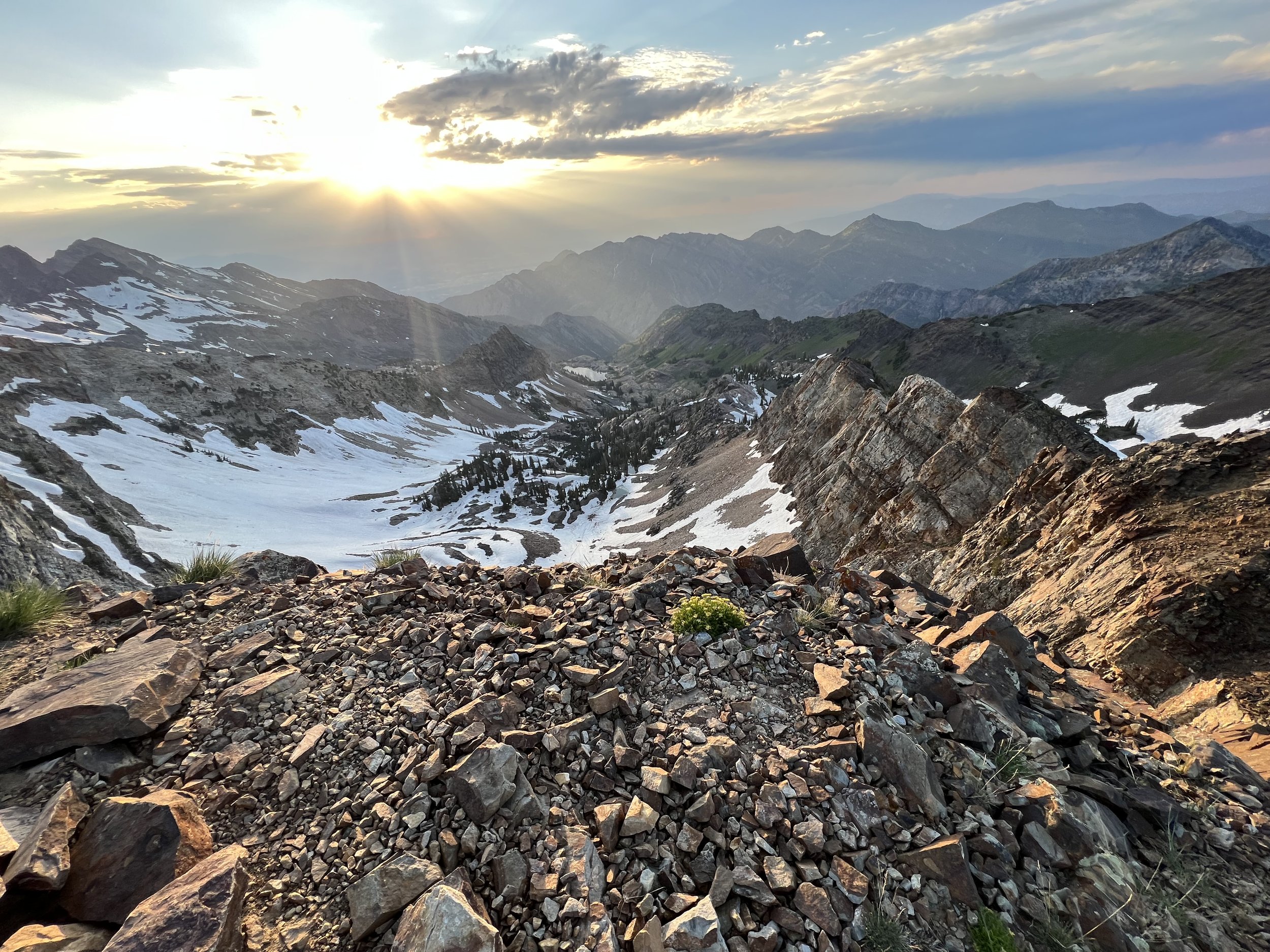
The hike in was long and heavy, but we managed to arrive first. I racked up and took the first pitch. The second pitch was short, and could easily be linked but I had no clue exactly where I was going because I couldn’t see the close second set of anchors. The third pitch boasts a spooky pendulum to a crappy ledge big enough for one foot. It then turns into honest 5.10 slab climbing which if you don’t do regularly, is hella uncomfortable. I managed to send the moves and felt pretty good so far. The fourth pitch has a second pendulum in order to reach a thin flake. I would say this pendulum is only easier than the first because you have 1 under your belt. But that’s it. You gain the thin flake with hand jams, fist jams, and awkward lay backs. The fifth pitch is tricky, it ascends some finger cracks into an odd dihedral and then a roof. Not technically that hard, but hardy for the grade. The sixth and final pitch takes a hard RIGHT after the tree anchor on the fifth, and meanders up kitty litter slabs and over bouldery fins until you reach another set of hidden anchors. From there, we unroped and scrambled to the true summit of the Middle Bell Tower. Then bushwhacked and scrambled to the true summit of the East Bell Tower (turns out this summit is marked on a map differently than the climbing routes which identify it as lower down the canyon. I opted to finish this one at the climber’s summit because those routes are established and have been for decades), then we traversed back toward Middle and continued shwchaking until we reached the West Bell Tower which actually had a fun little boulder that clearly looked to be like the highest point. I sent the kitty litter boulder problem for a potential FA and I rate it at V1. The kitty litter holds crumbling as you go is purely a novelty. We reversed the ridge back to our gear, and rapped the Middle Bell Tower to the Bell’s Canyon floor, and took the trail out.
That’s all folks!
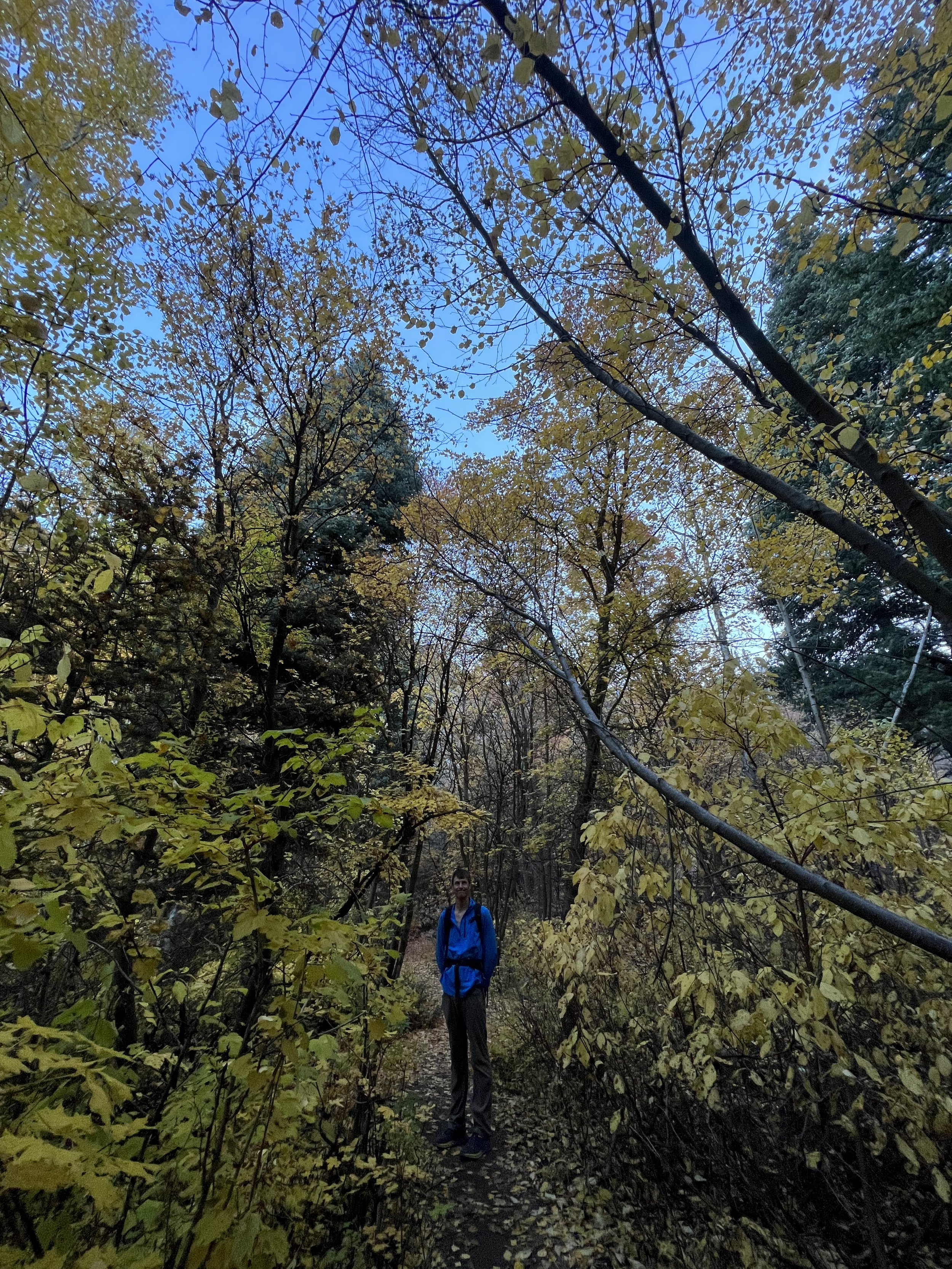
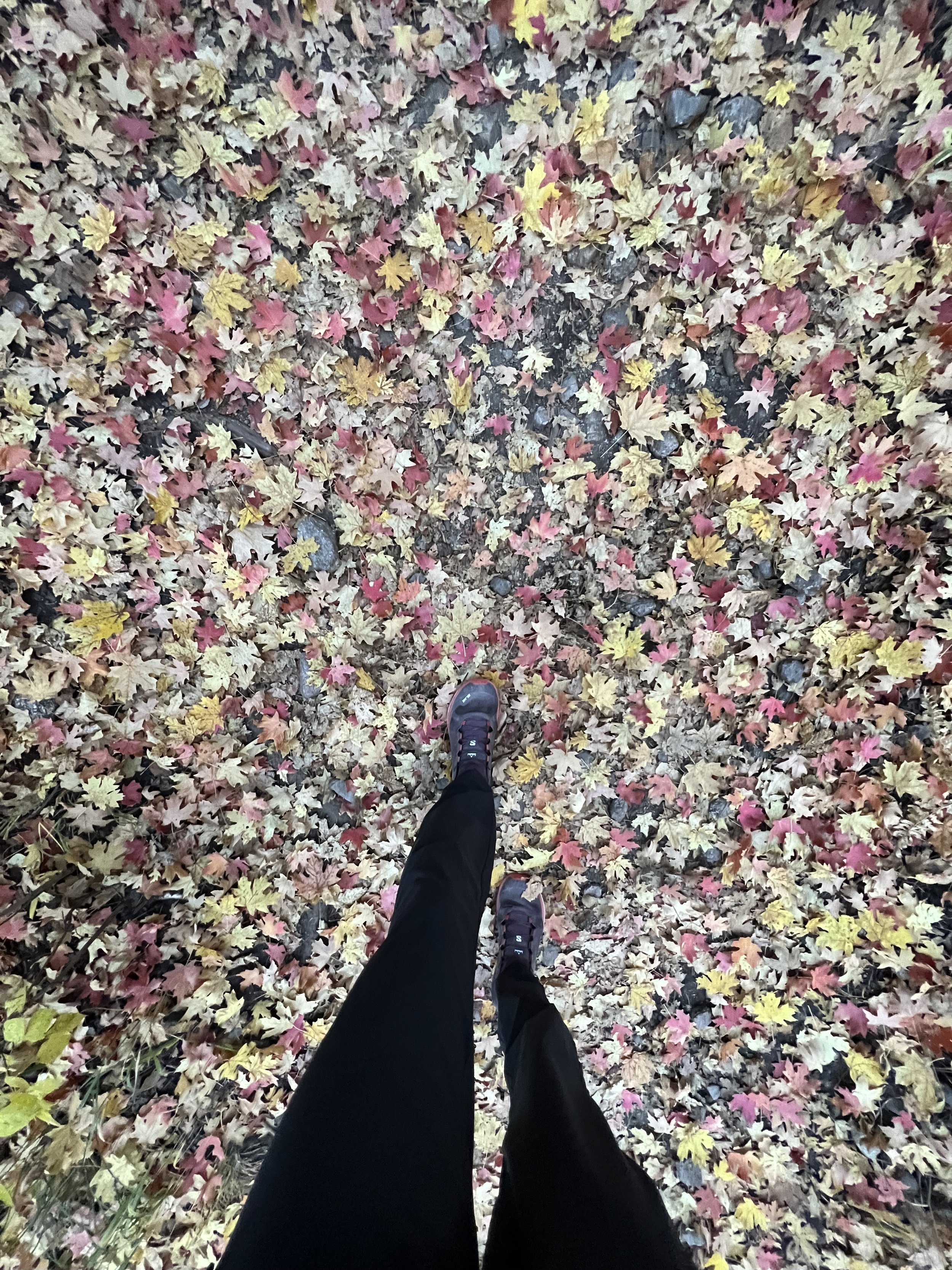
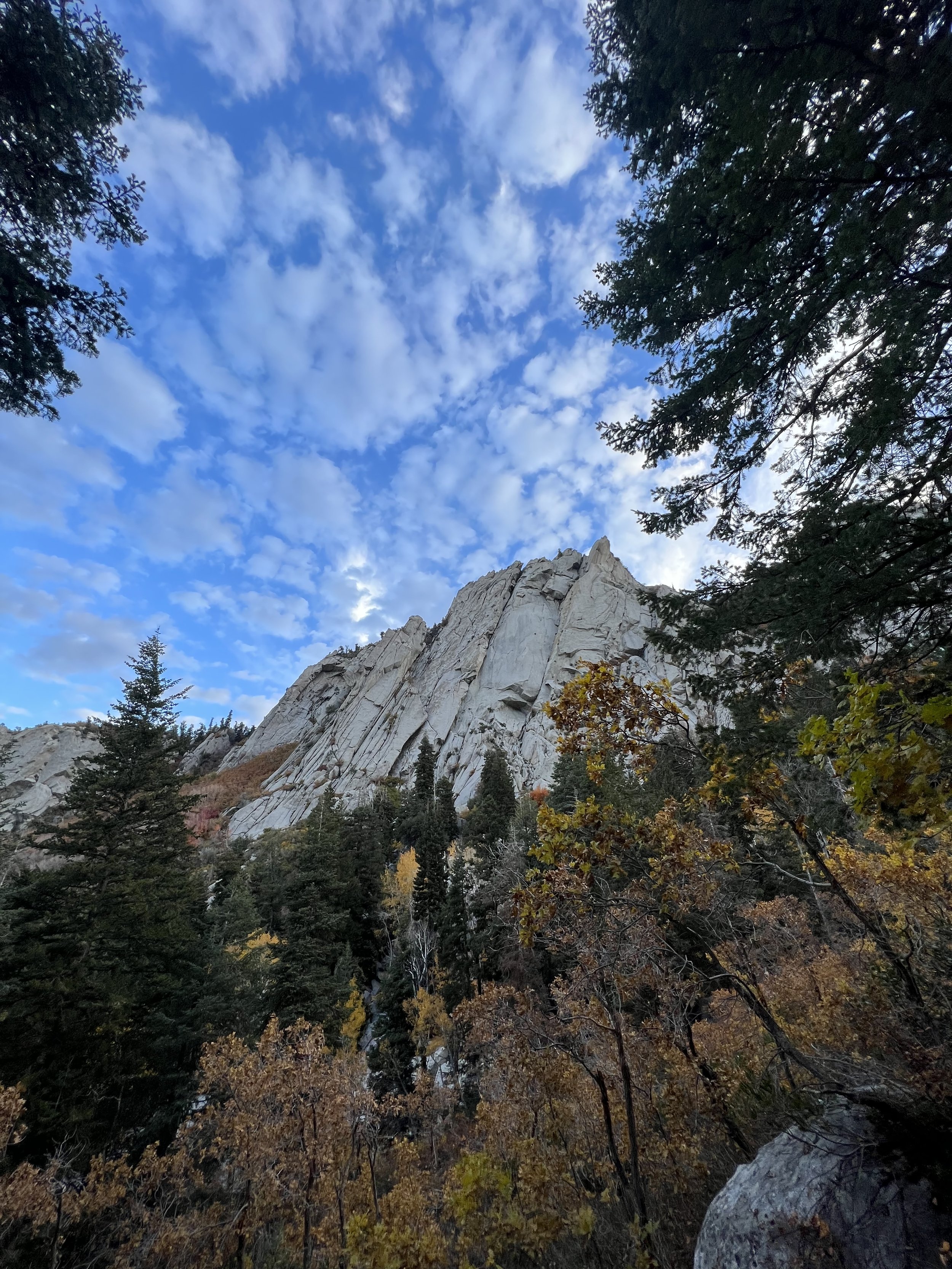
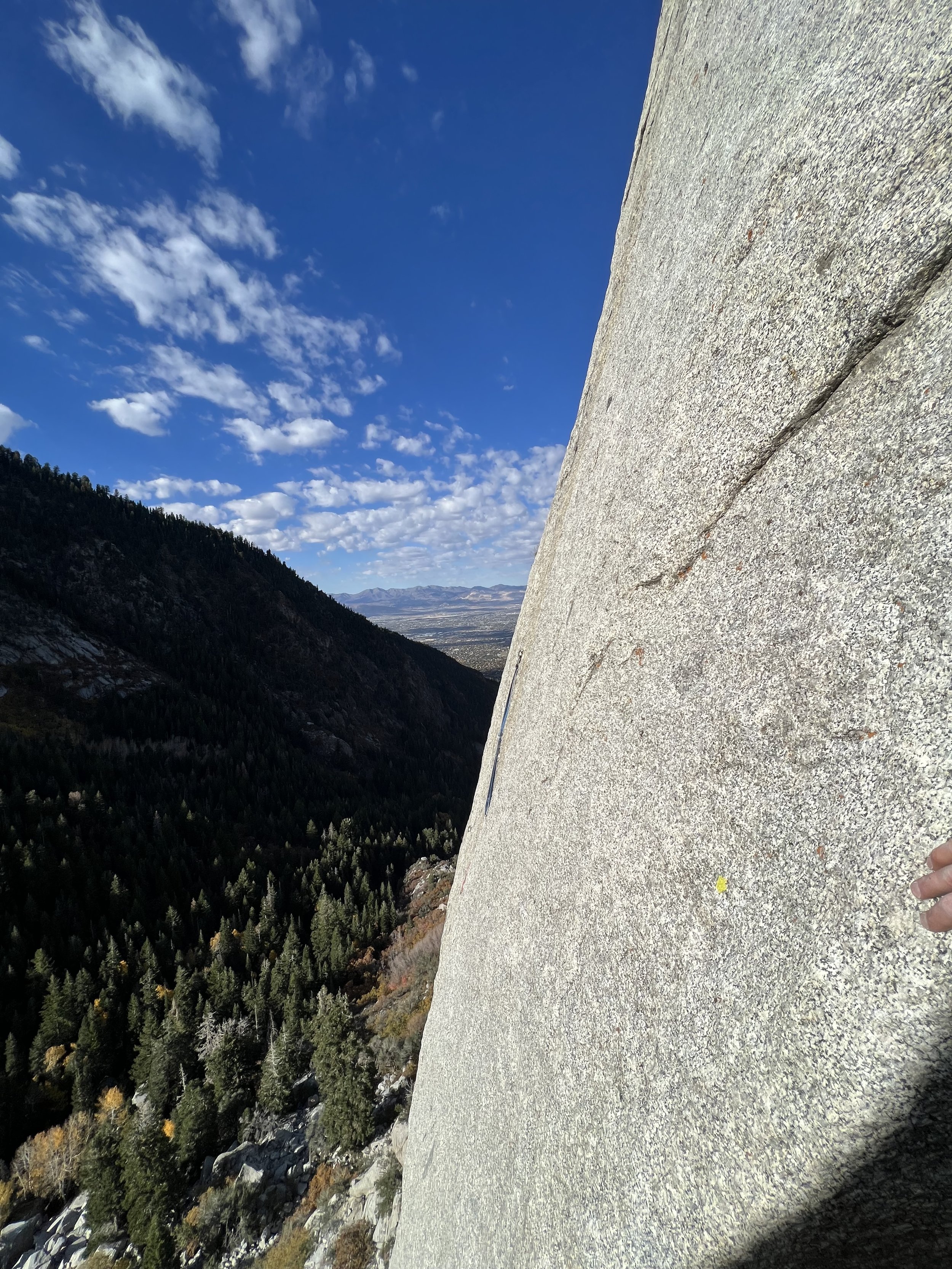
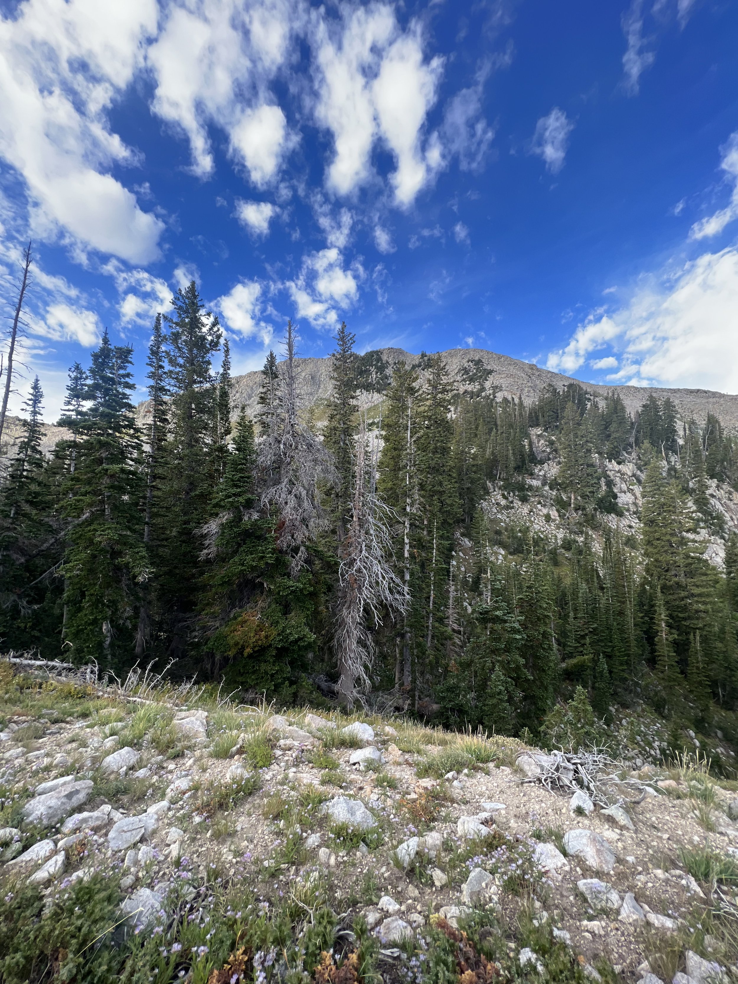
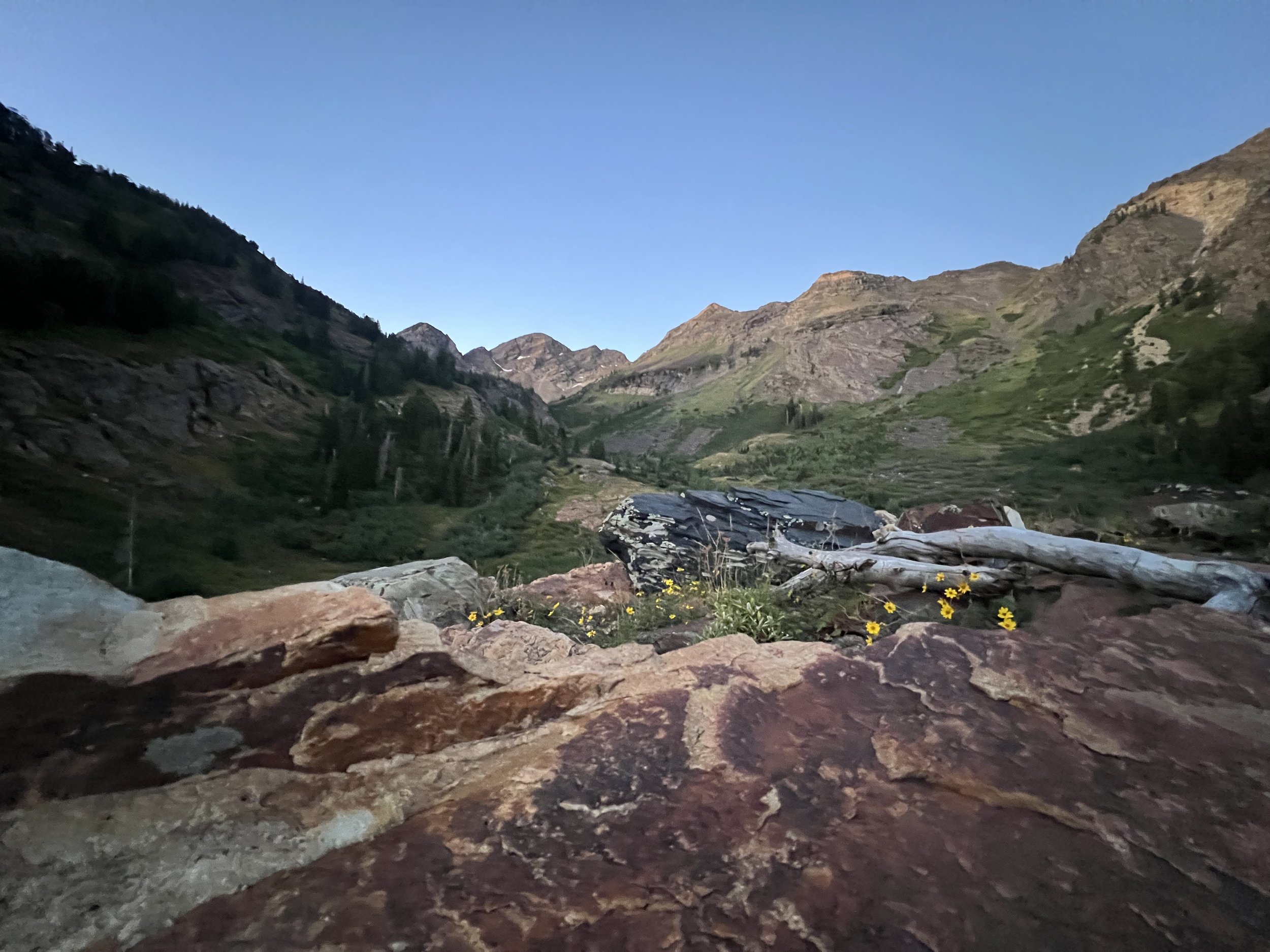
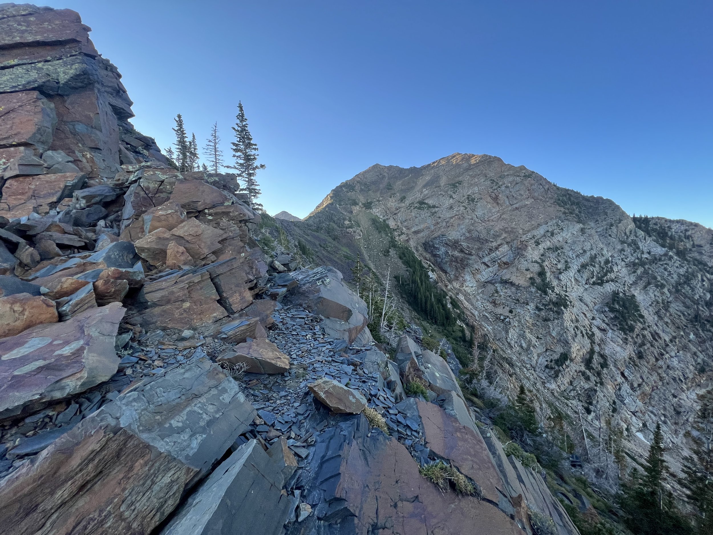
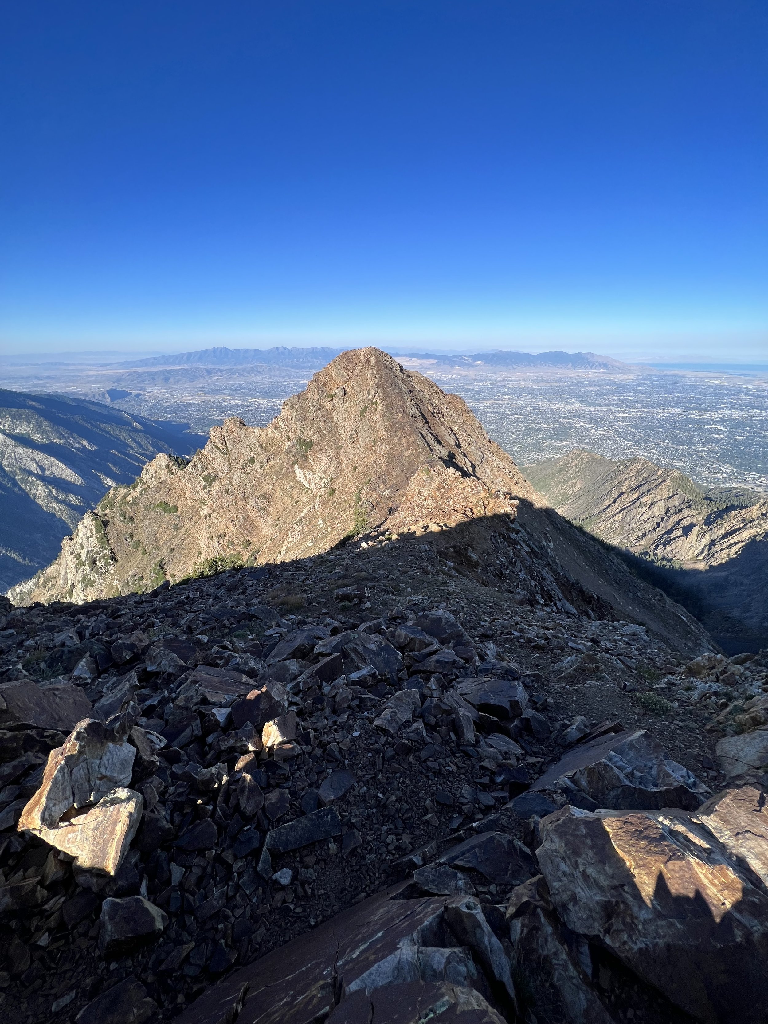
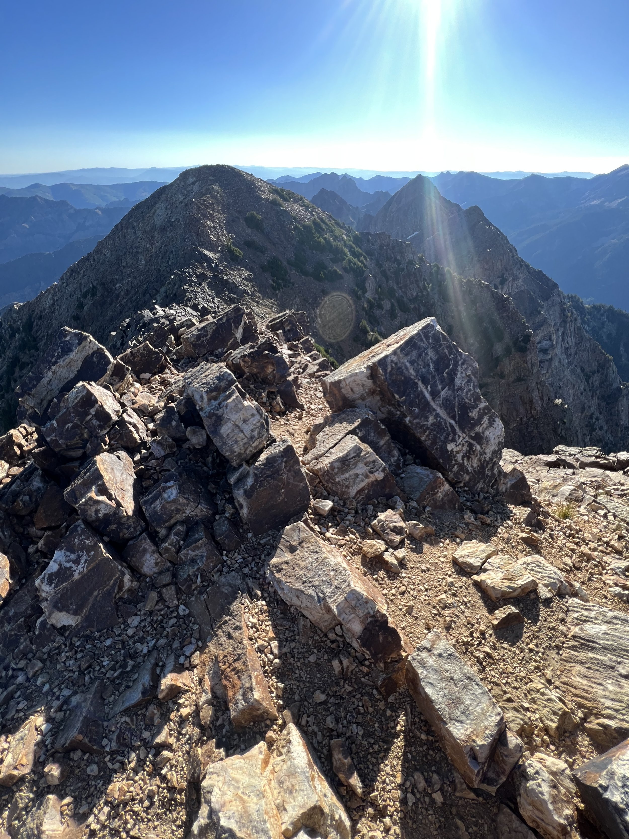
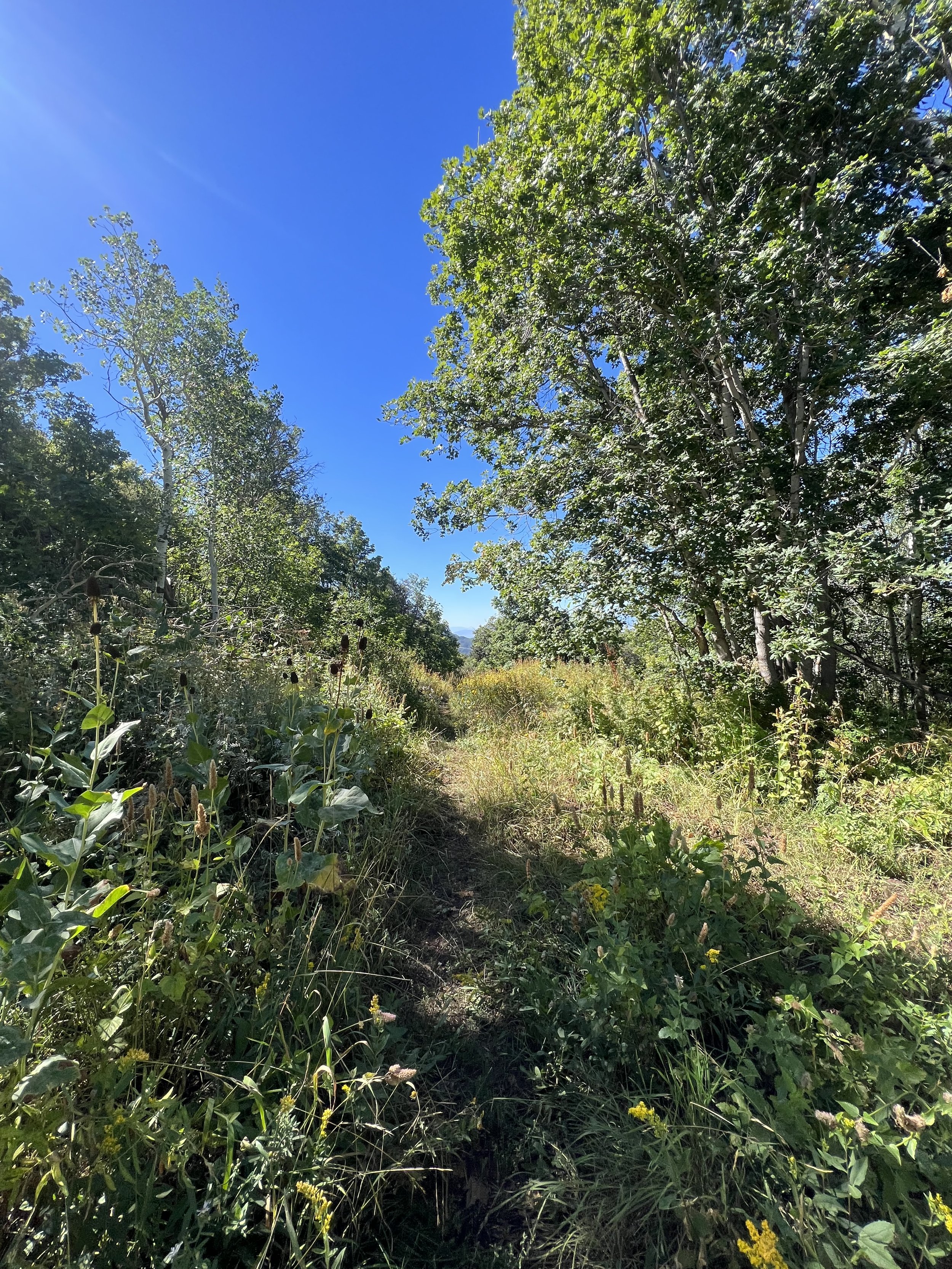
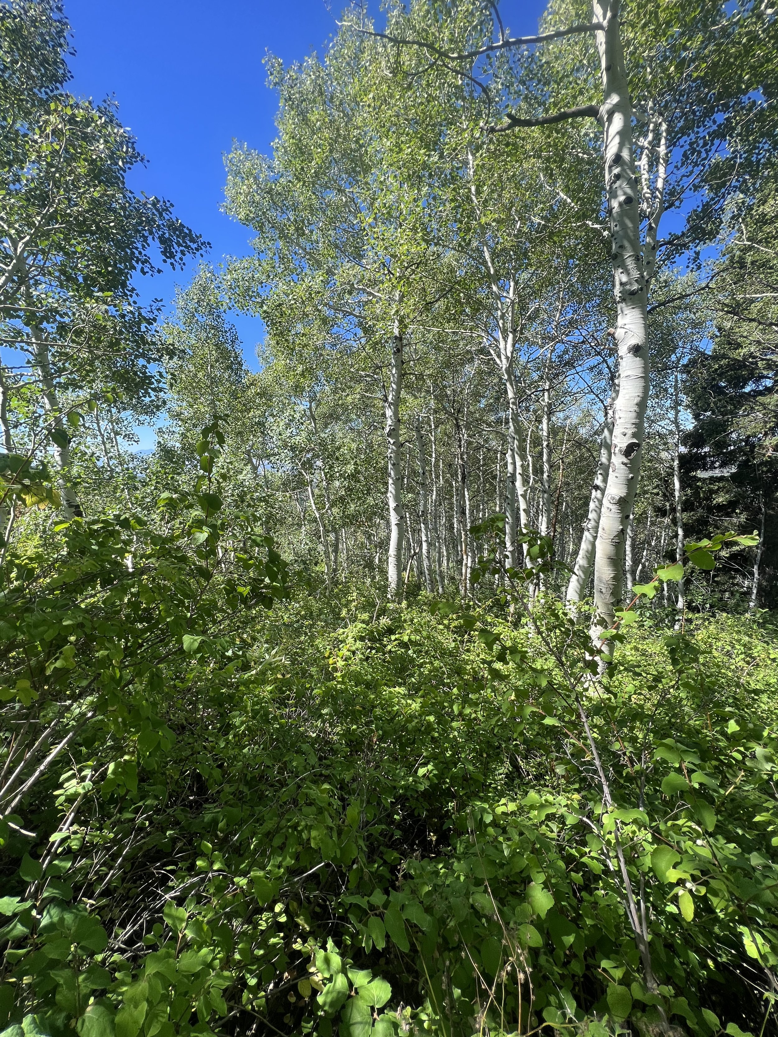
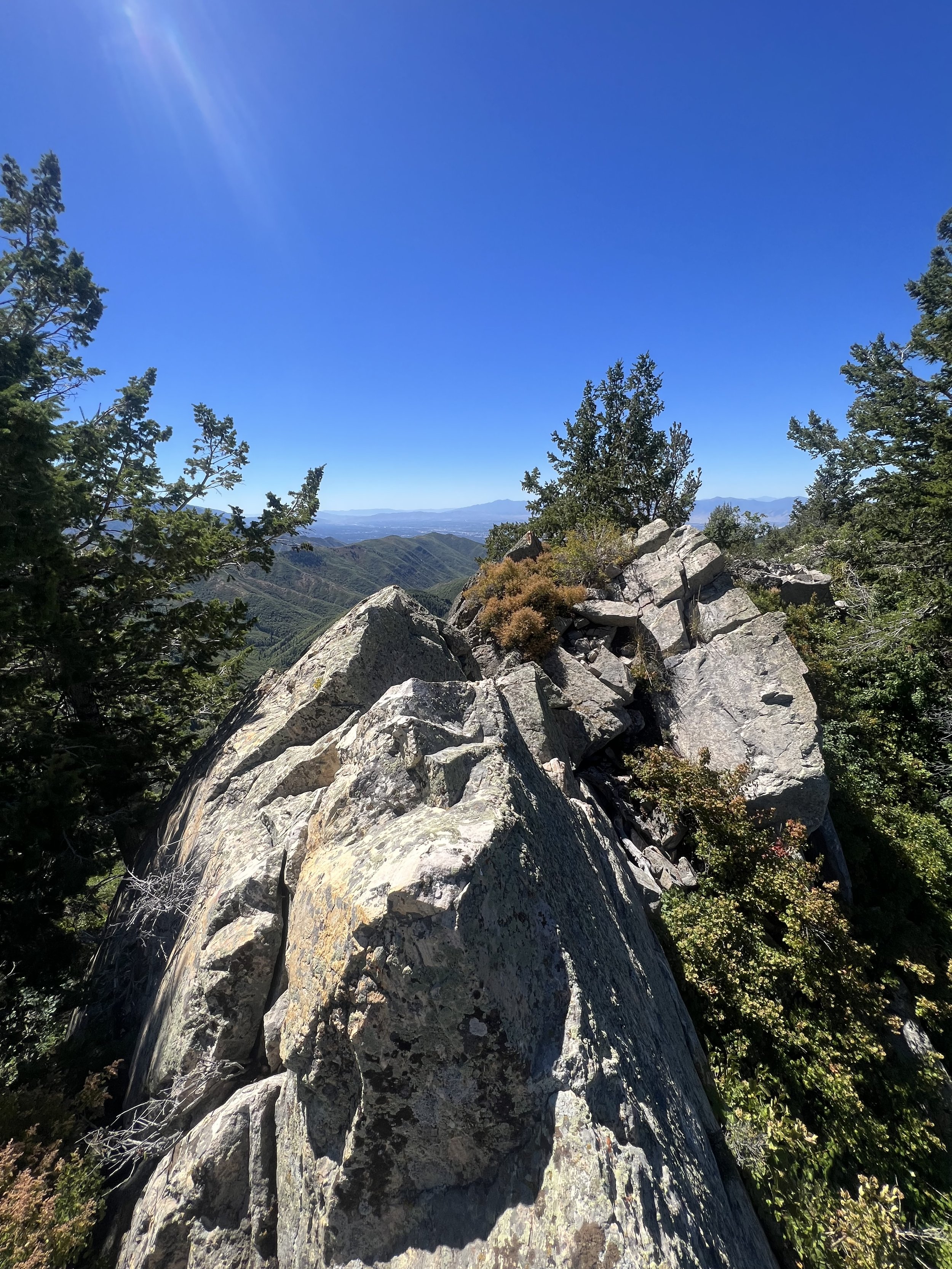
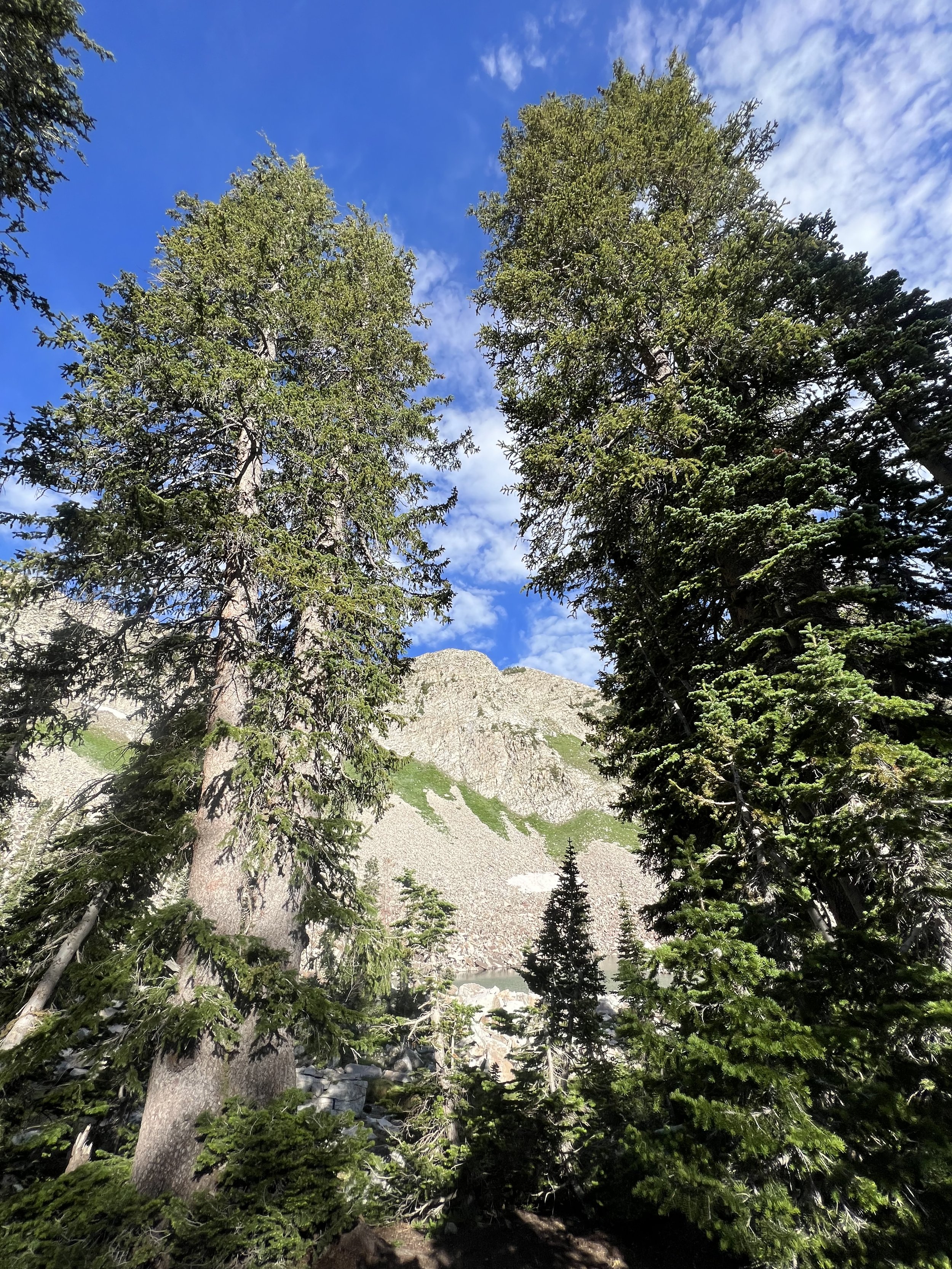
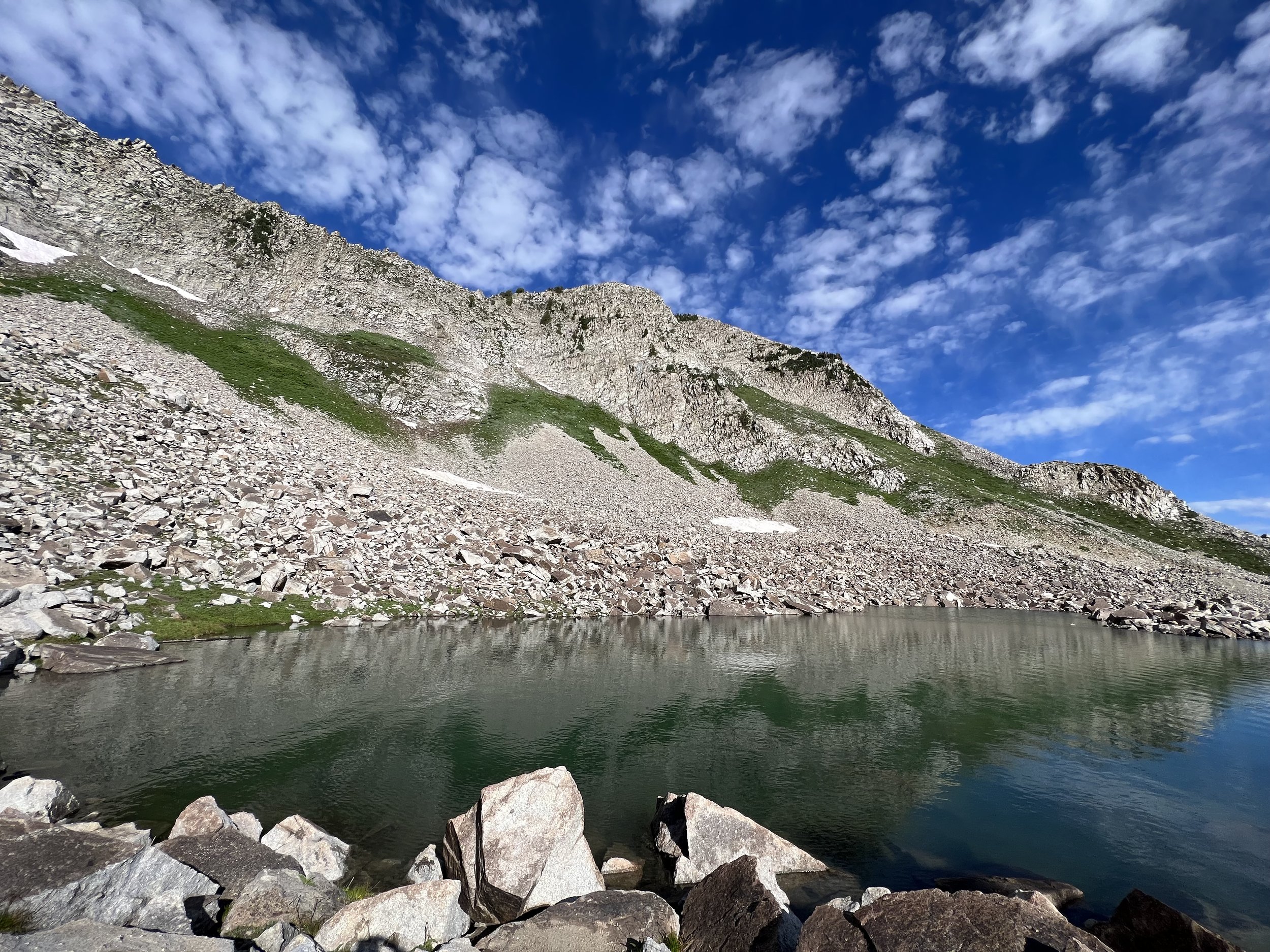
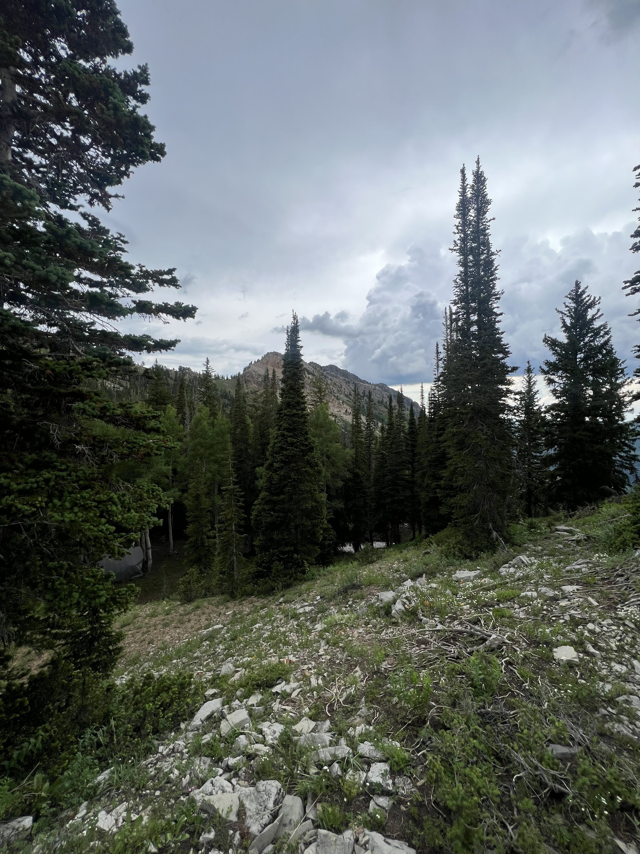
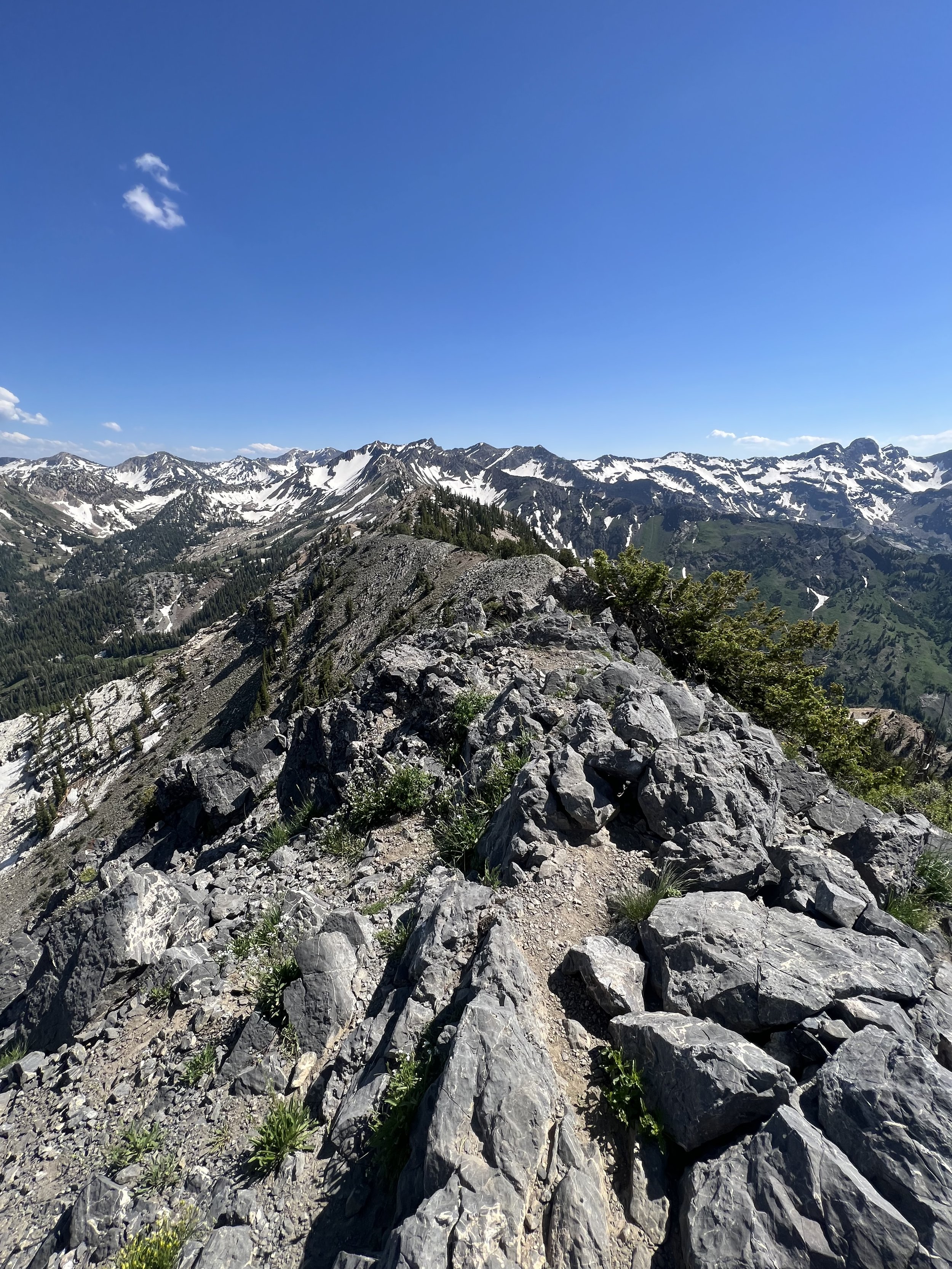
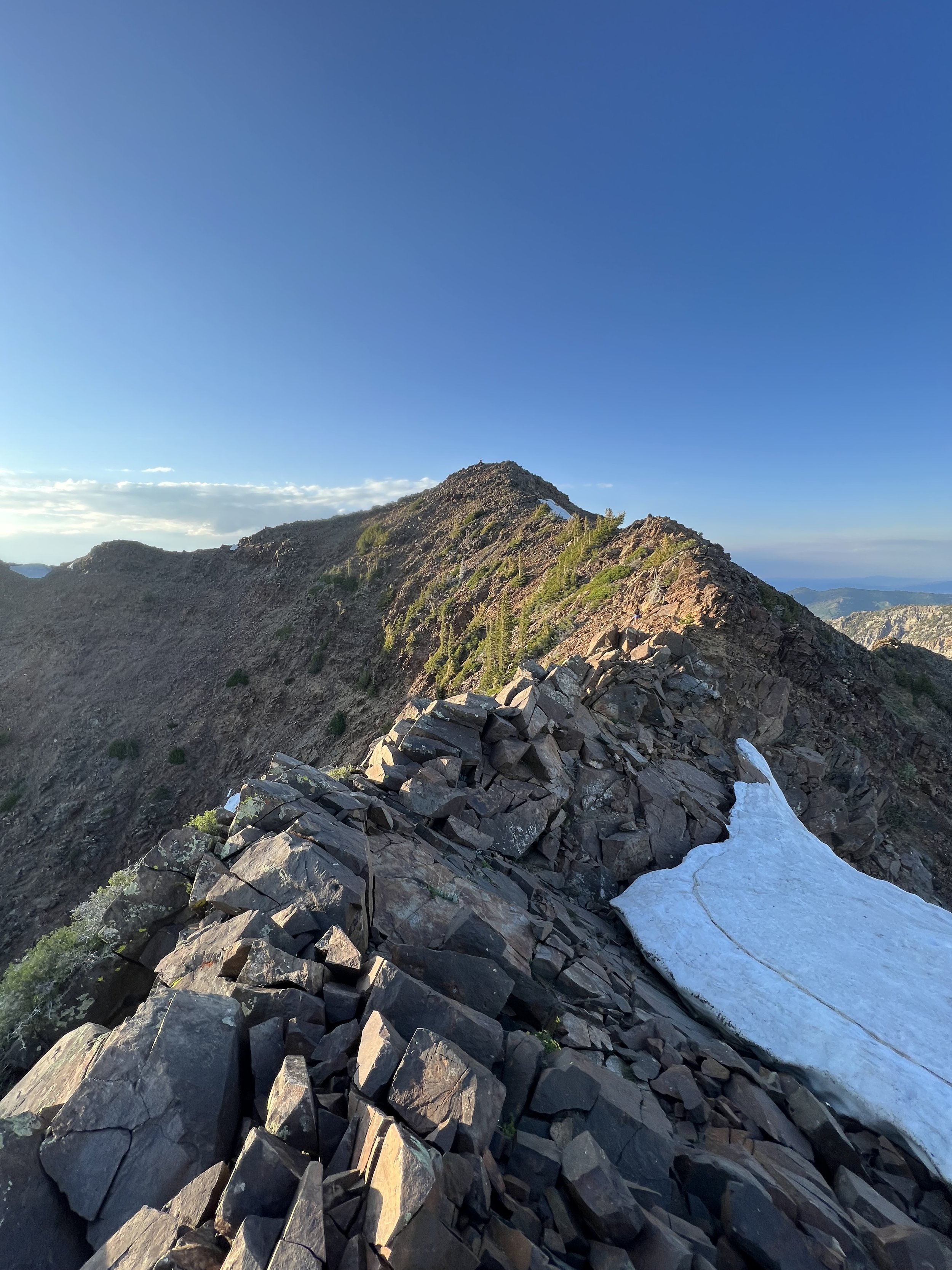
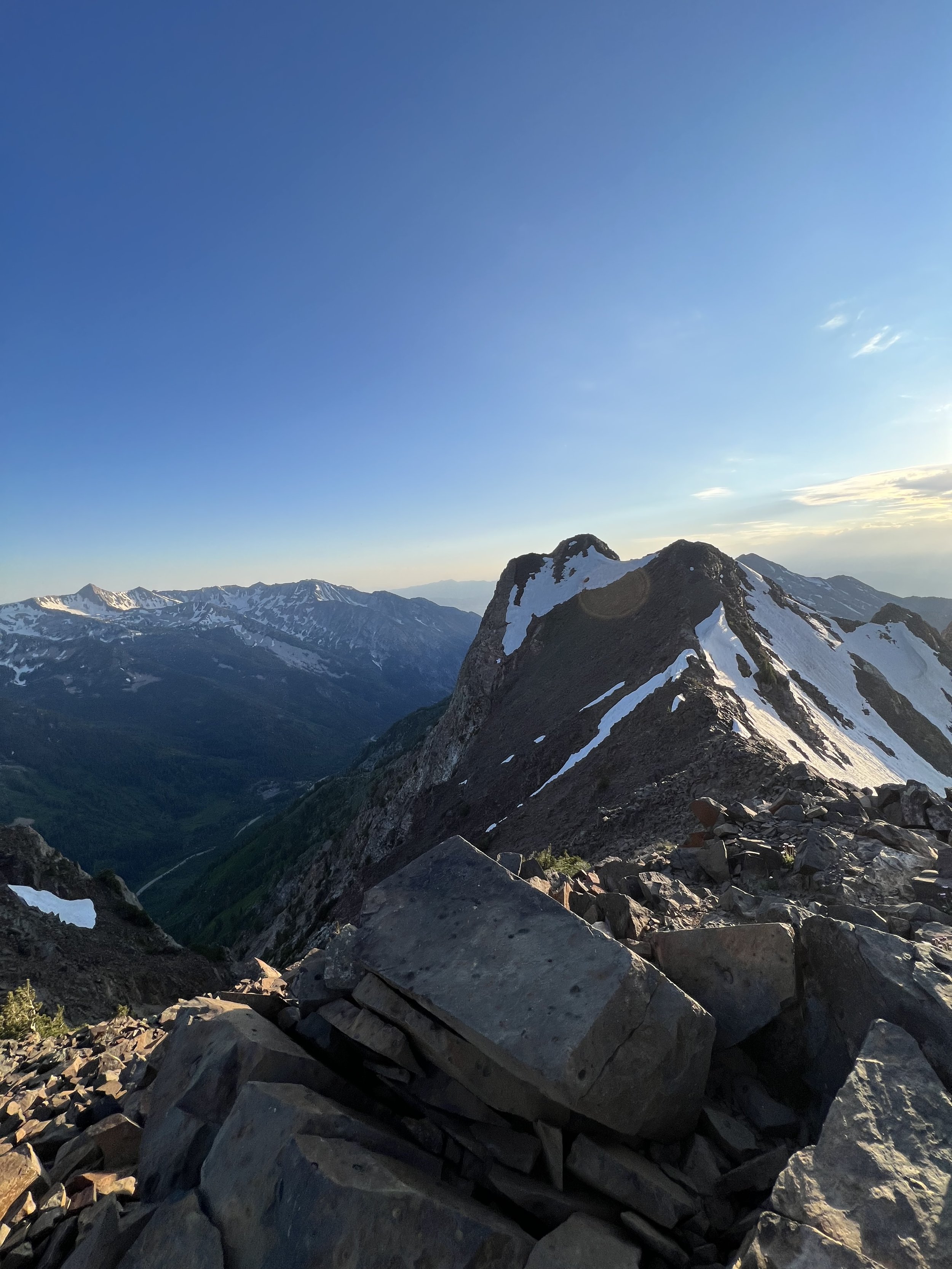
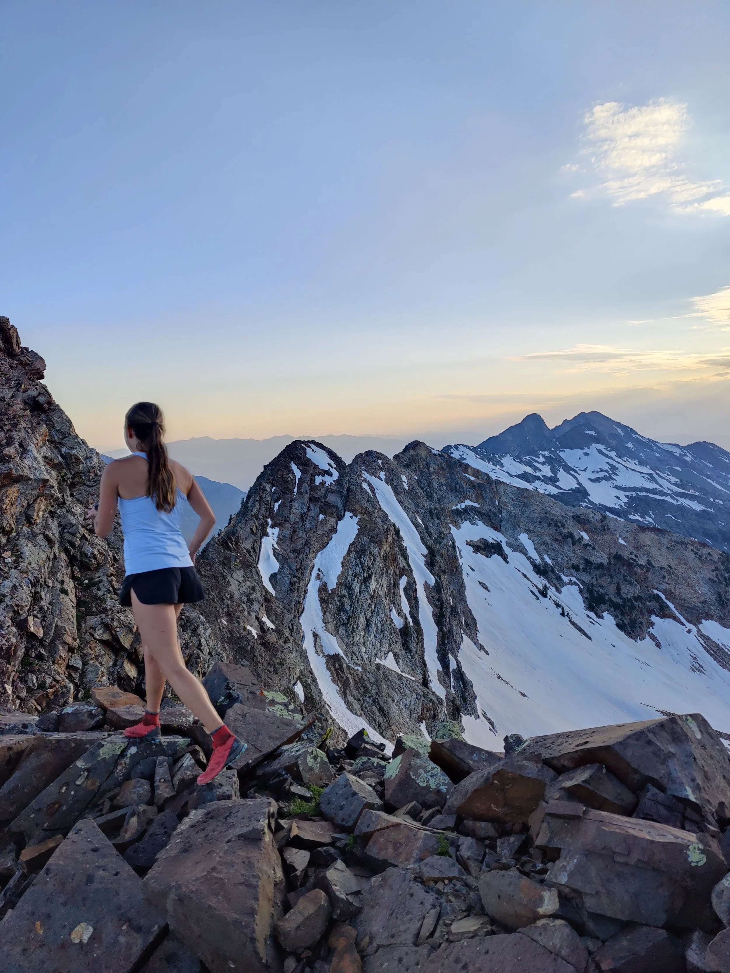
Images below: The dark canyon as first light appears, Keenan amidst the fall leaves, The fall leaves, The first peak of the Middle Bell Tower through the trees, Pitch 3 looking across the granite slab toward the exit of Bell’s Canyon, Me atop the summit of the Middle Bell Tower, Me atop the East Bell Tower, Me atop the final boulder problem and the summit of West Bell Tower.
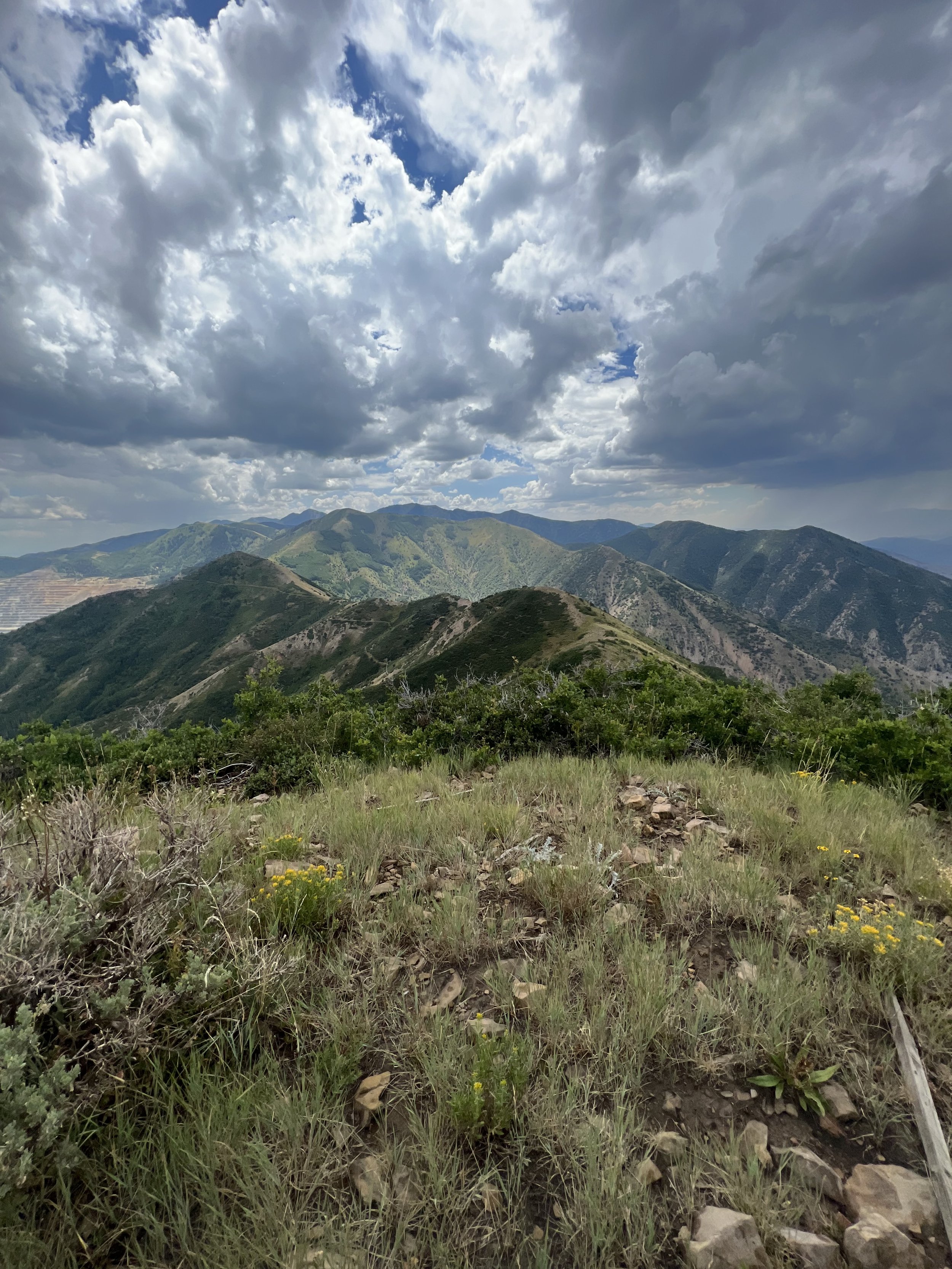
SUMMIT 155 - Bonus: Knowlton’s Knob - September 8, 2023
Added after arriving at Knowlton’s Knob and referencing my map to see that it was in fact named.
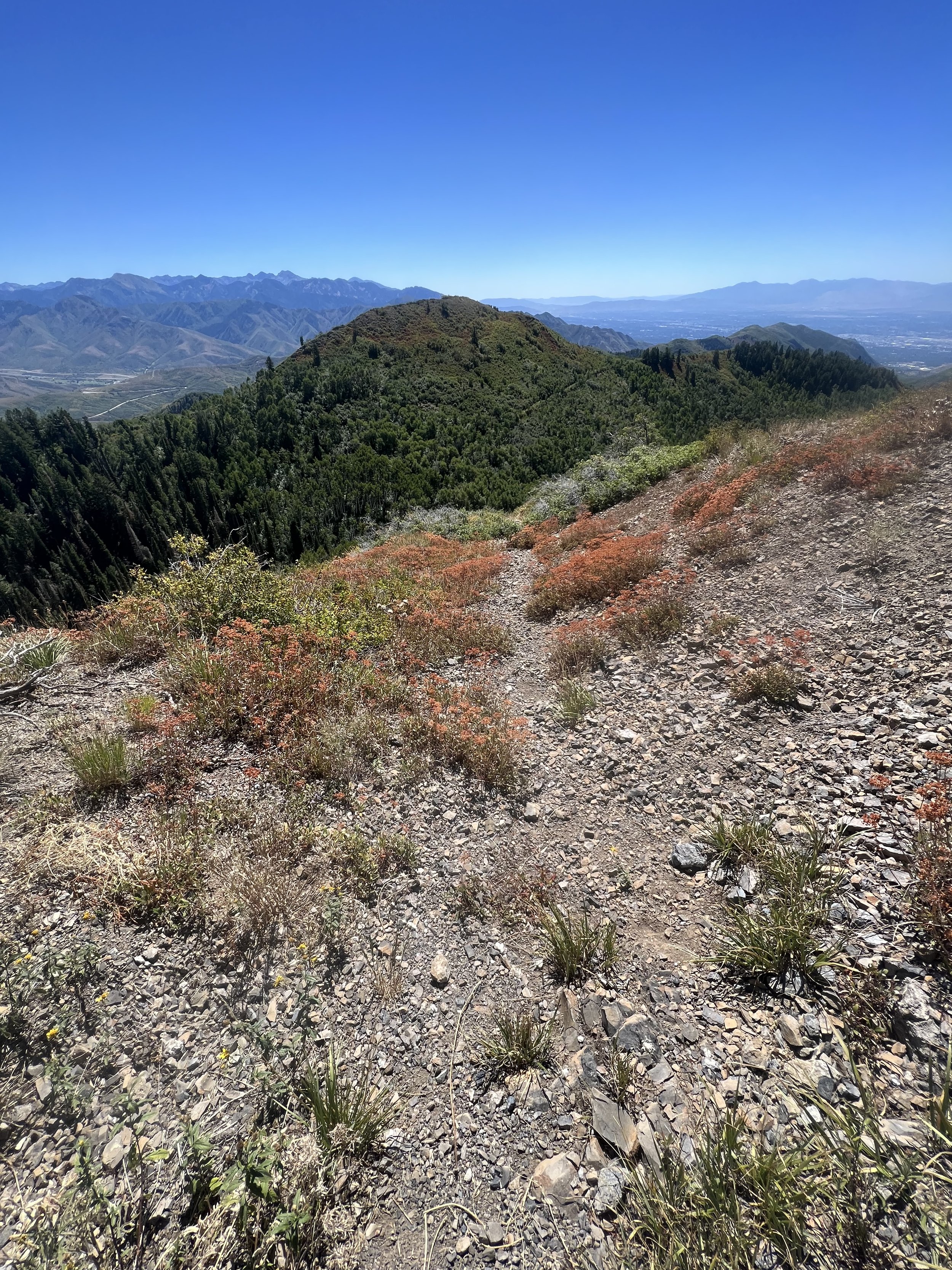
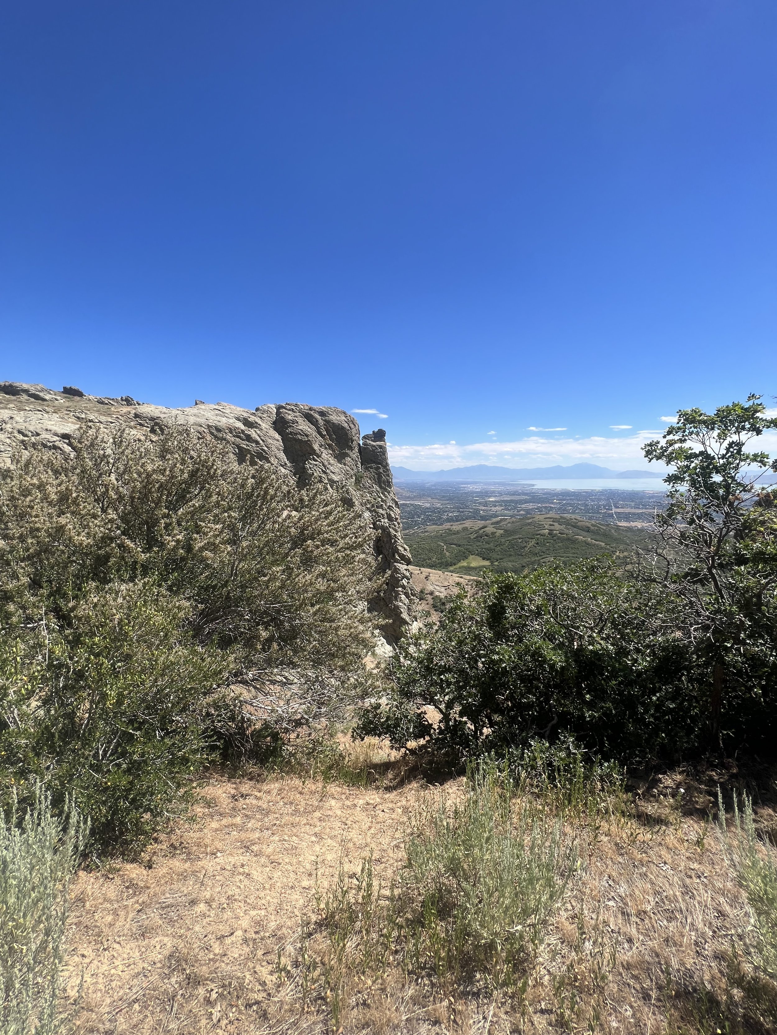
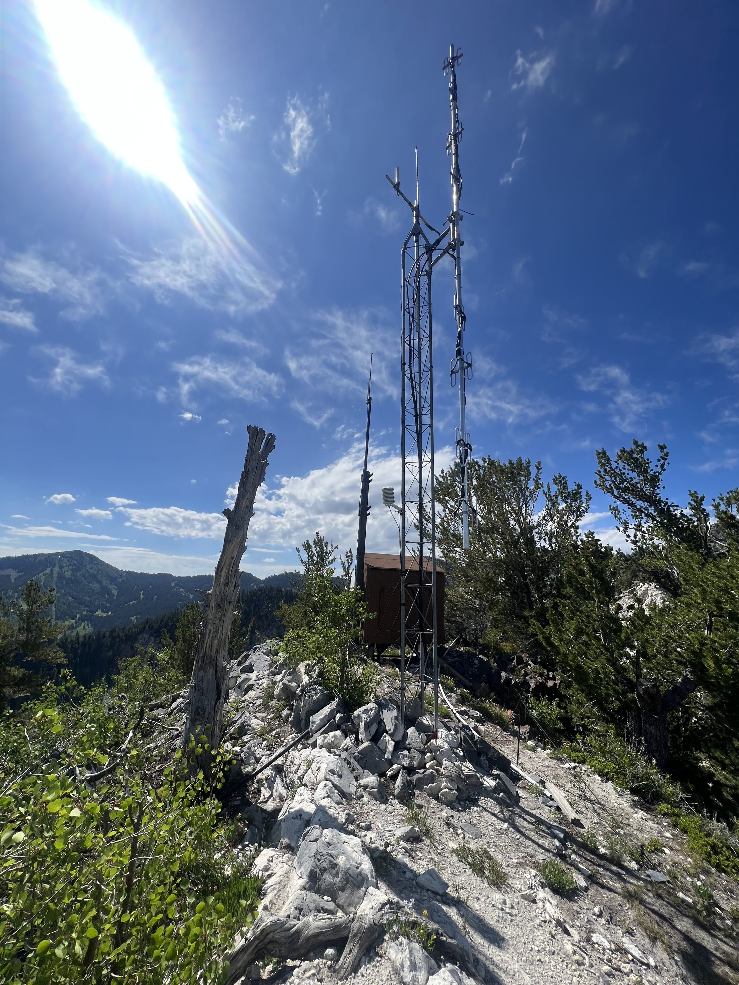
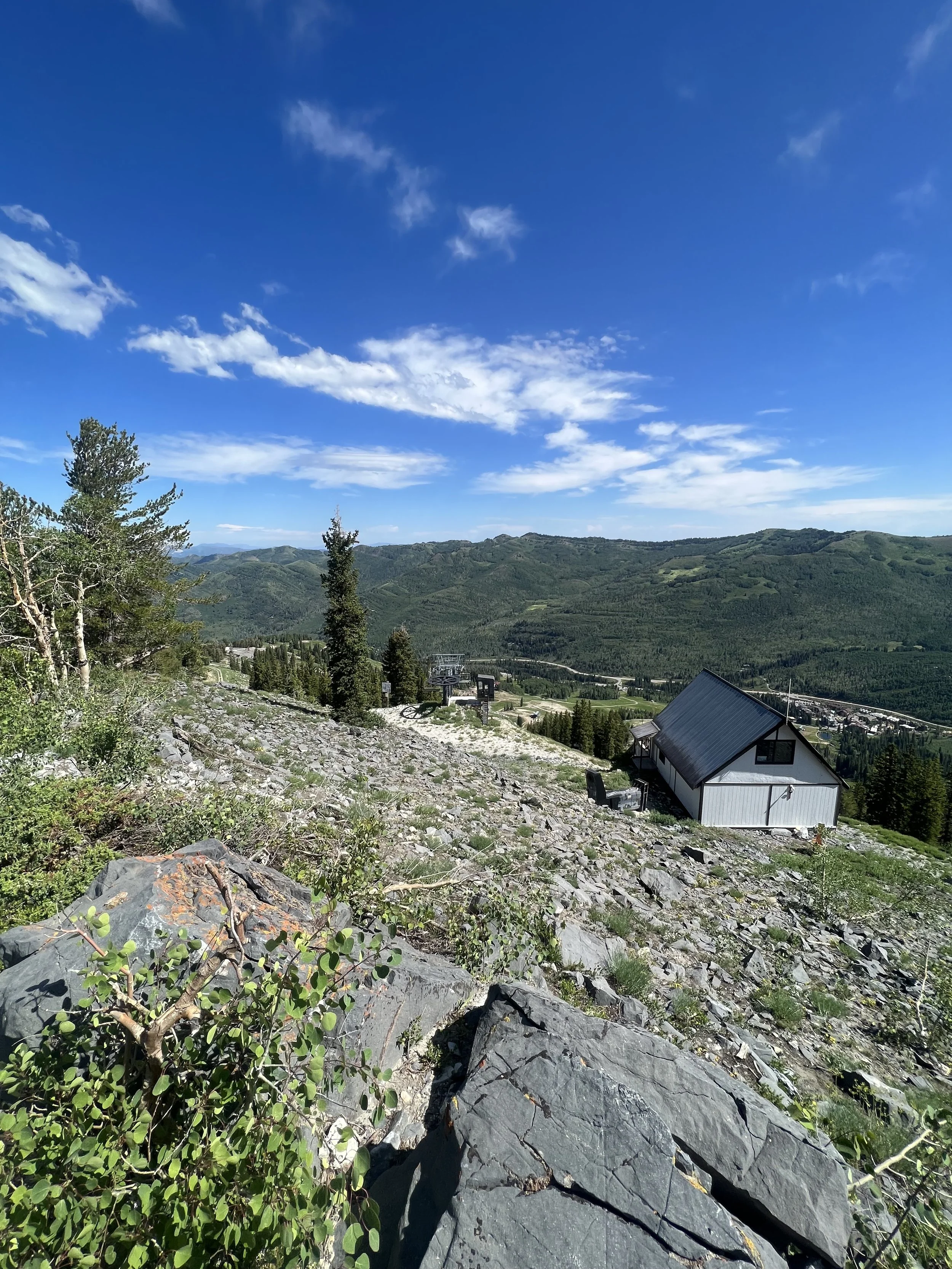
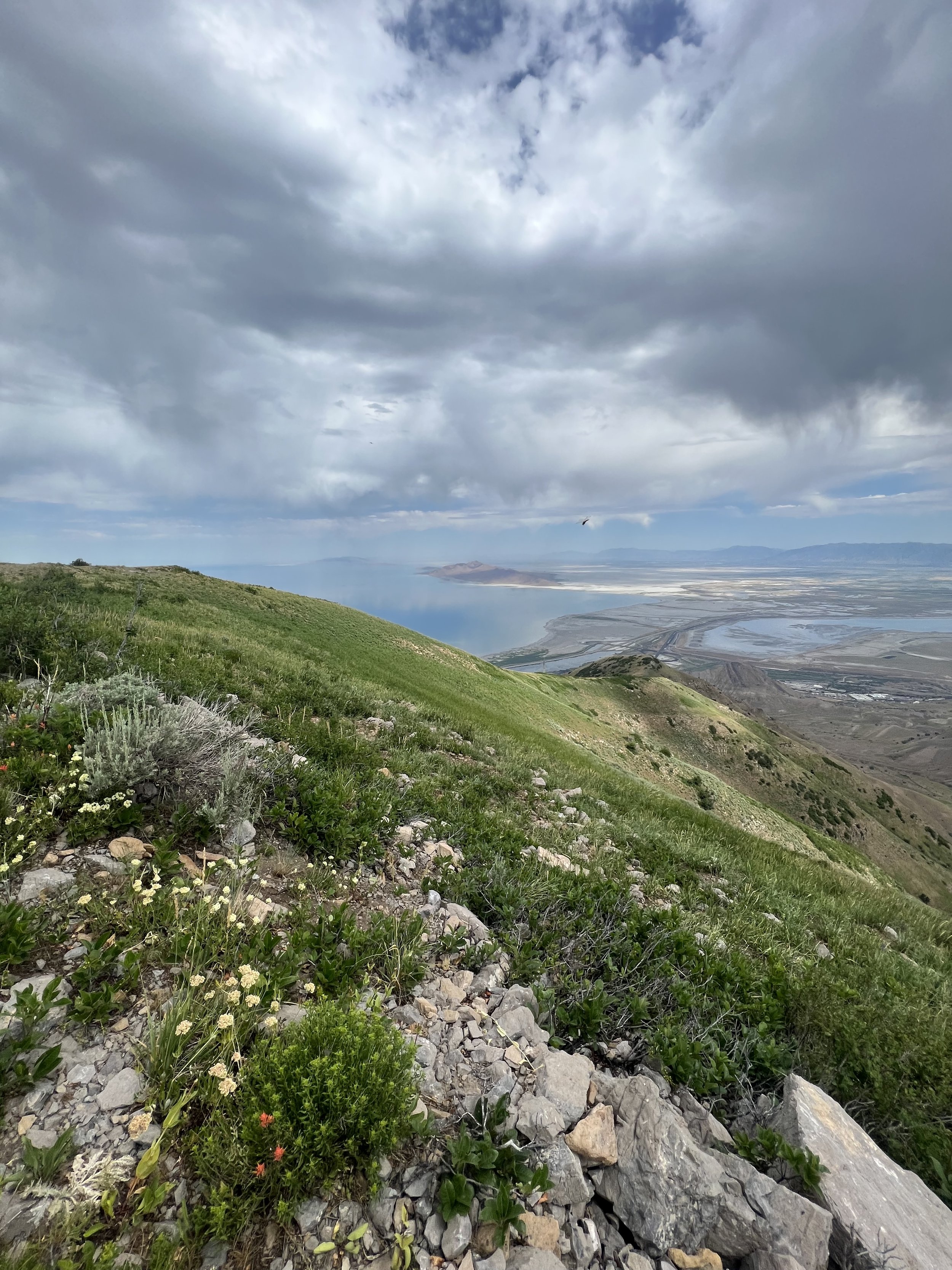
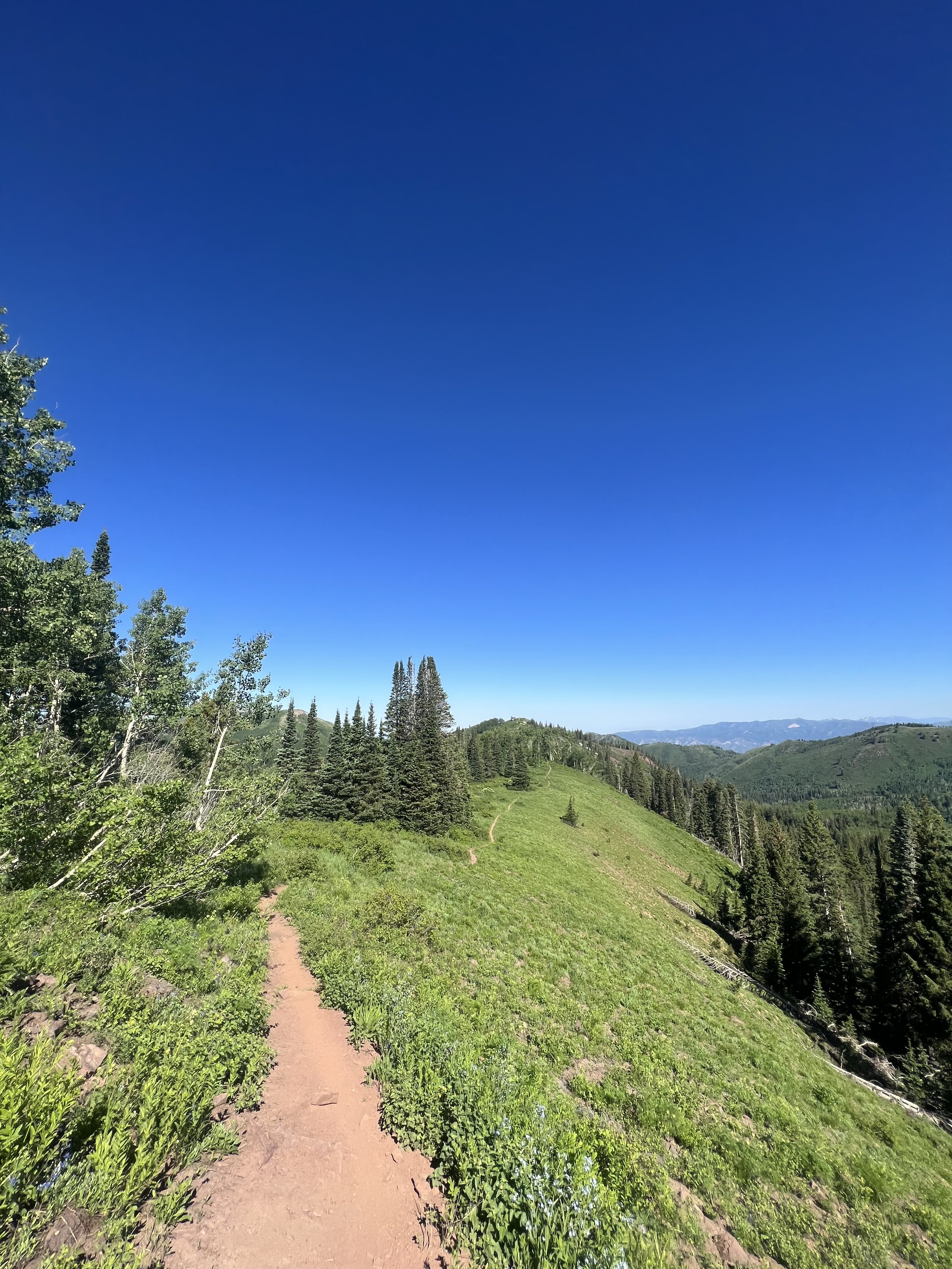
Images below: The view looking south down the trail from the top of Knowlton’s Knob.
SUMMIT 152-154 - Bonus: Three Sisters - May 10, 2023
Unknown to me until I arrived at them and referenced my map to see they had names. So they have been added to the list!
Images below: the trail below the first sister looking up at it, From the summit of the second sister, The summit of the third sister.


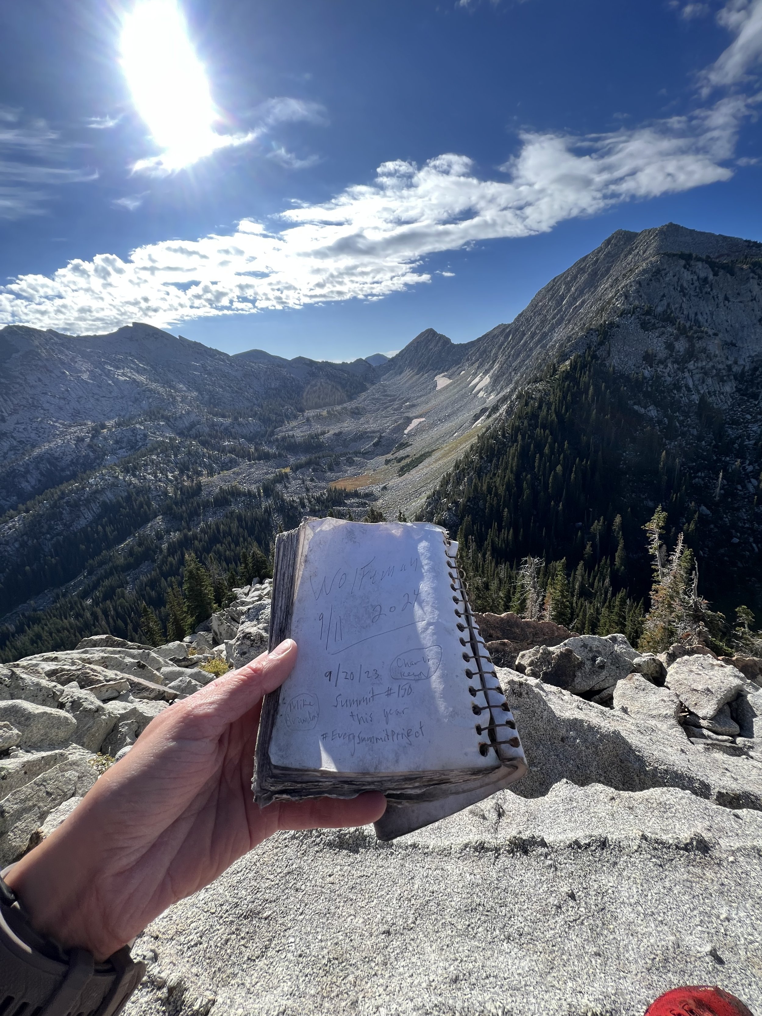
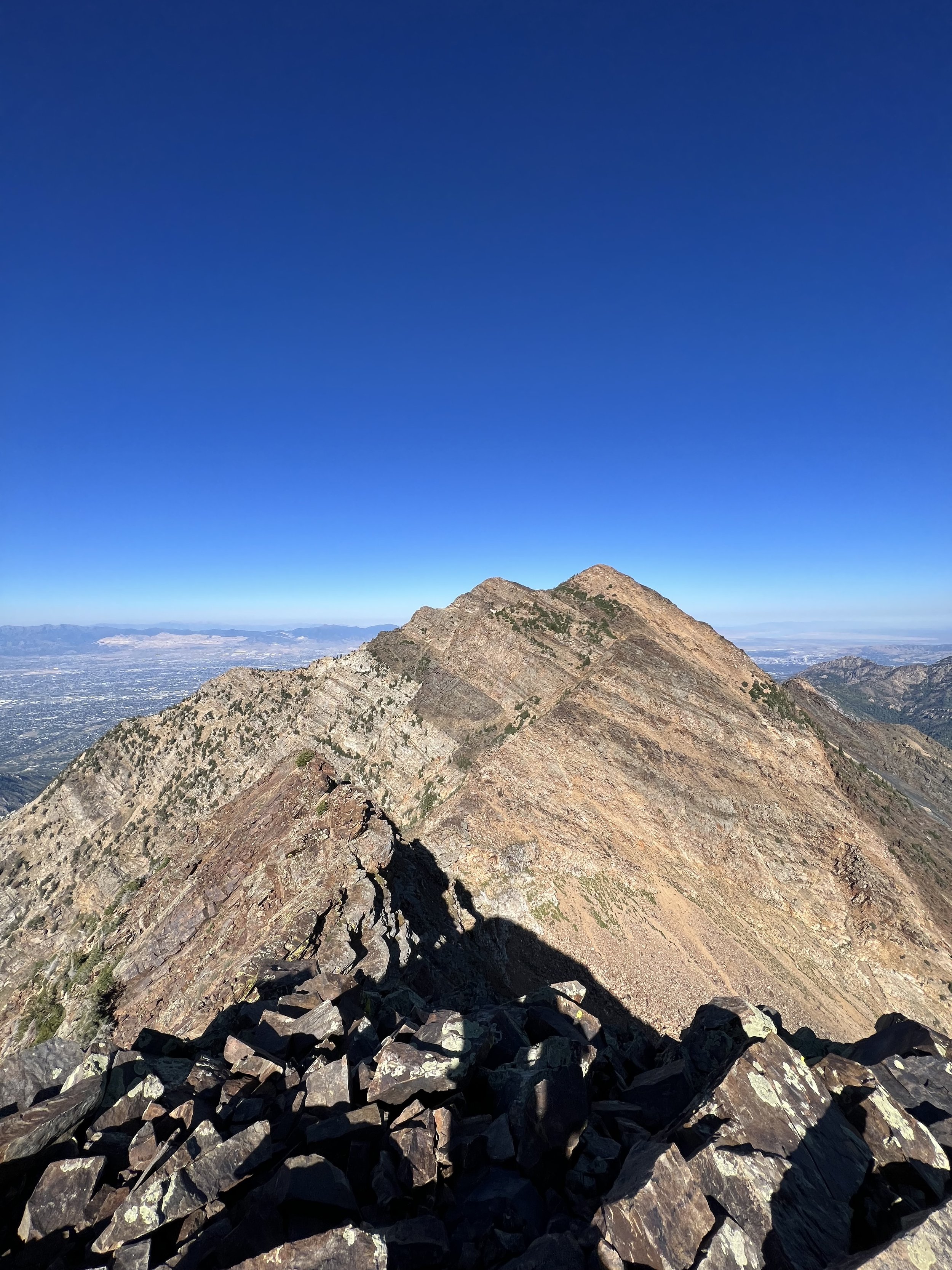
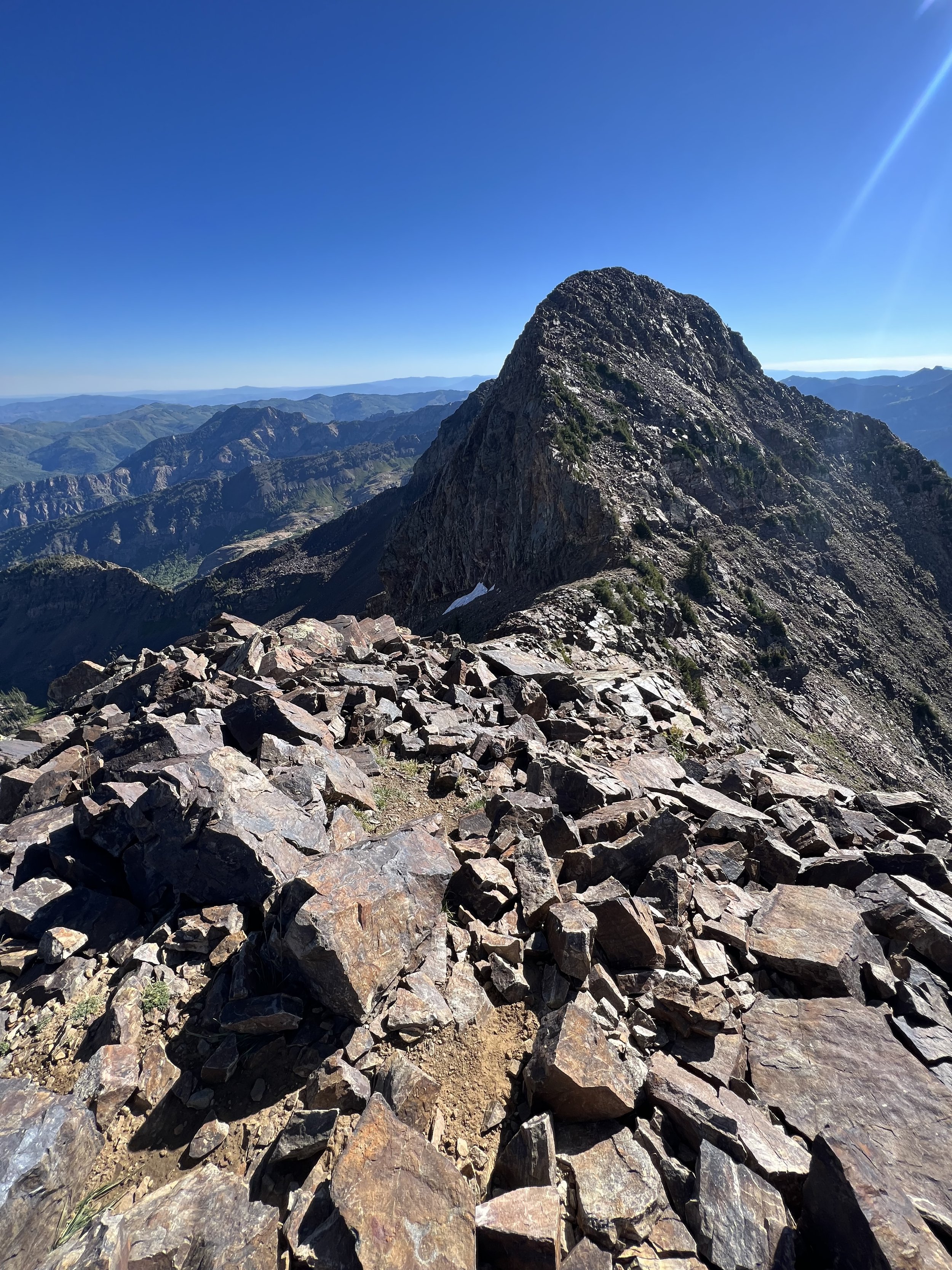
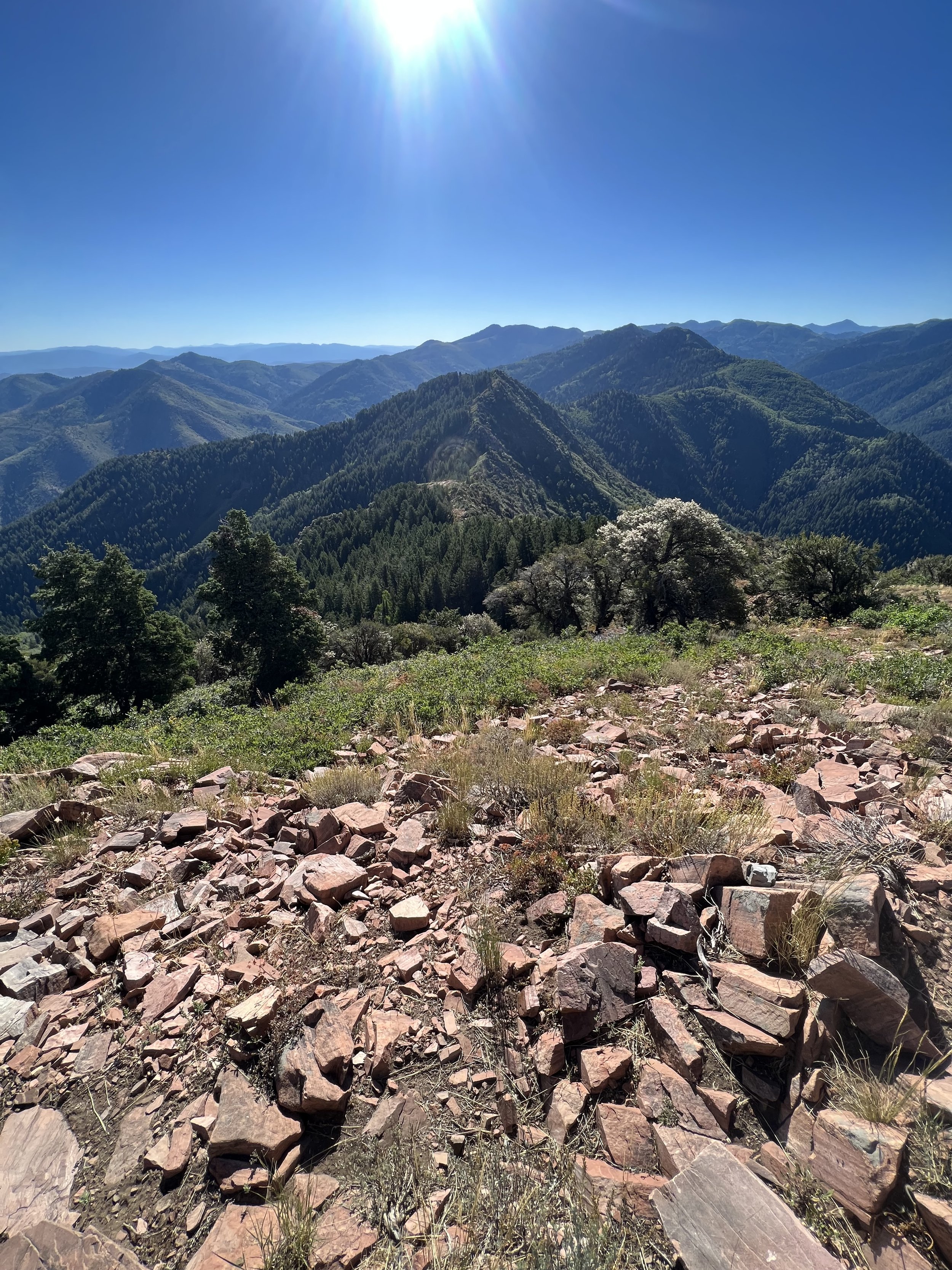
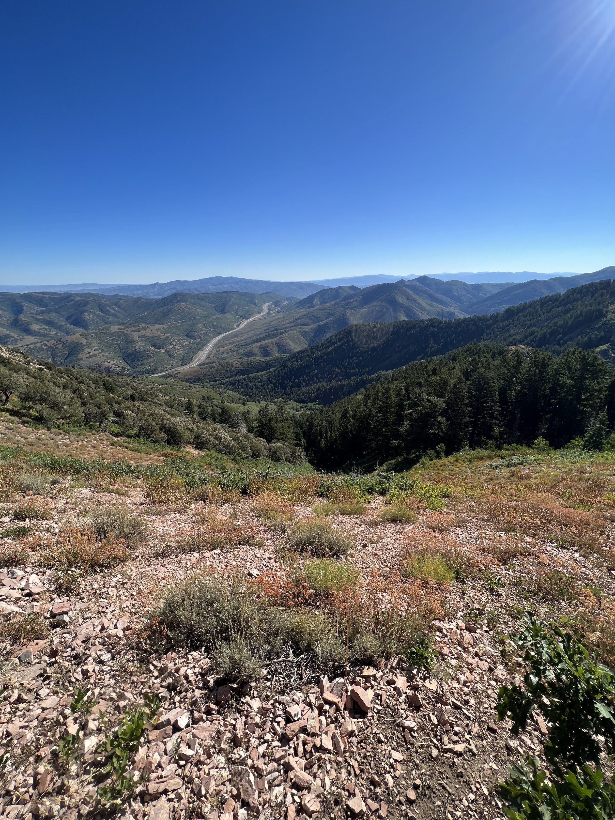
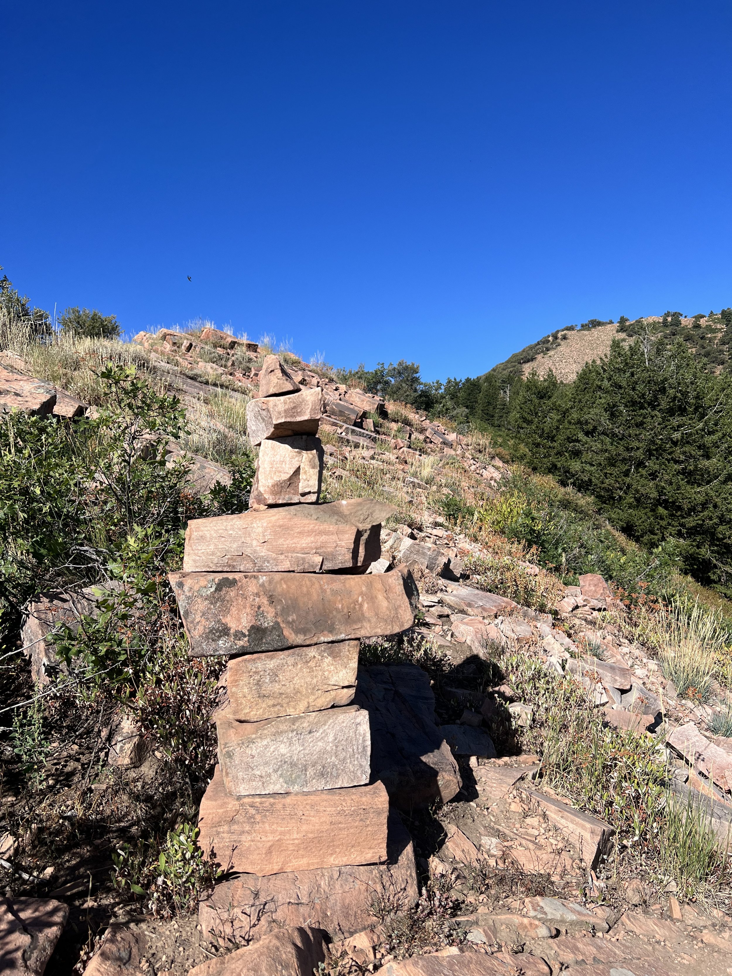
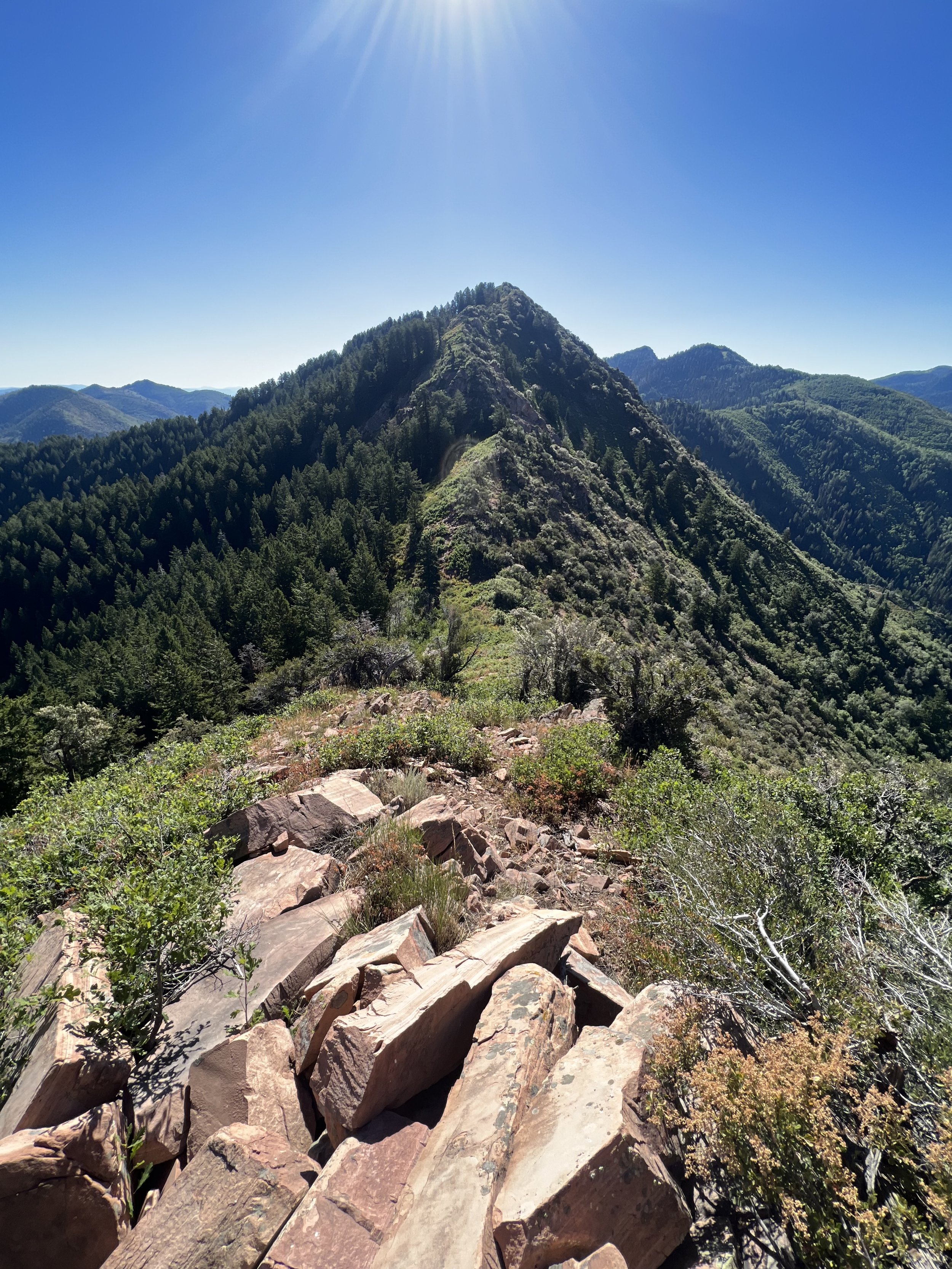
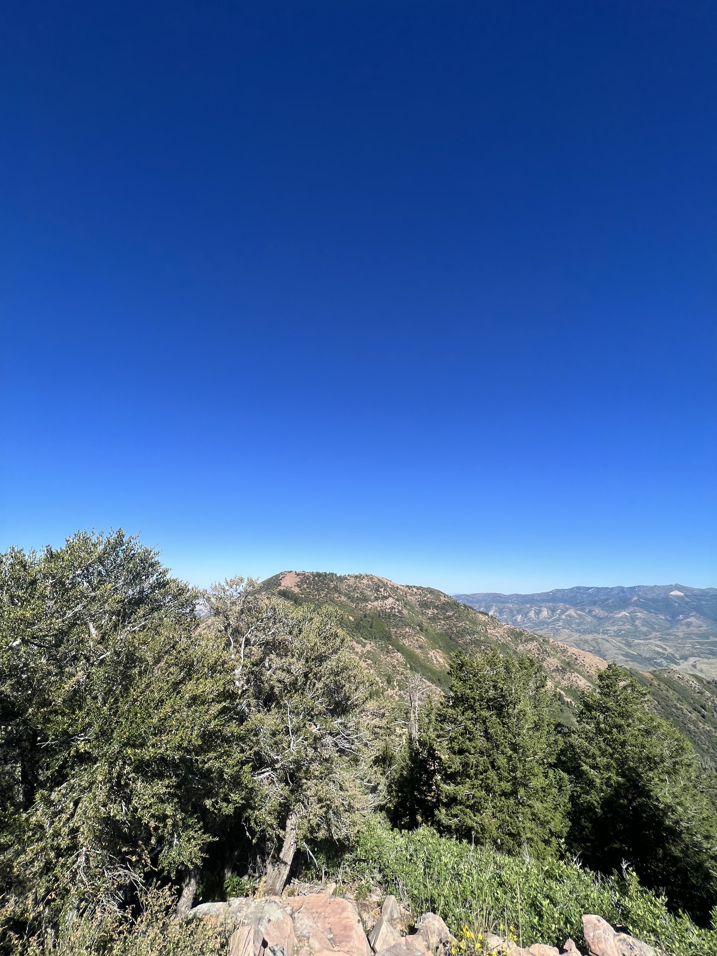
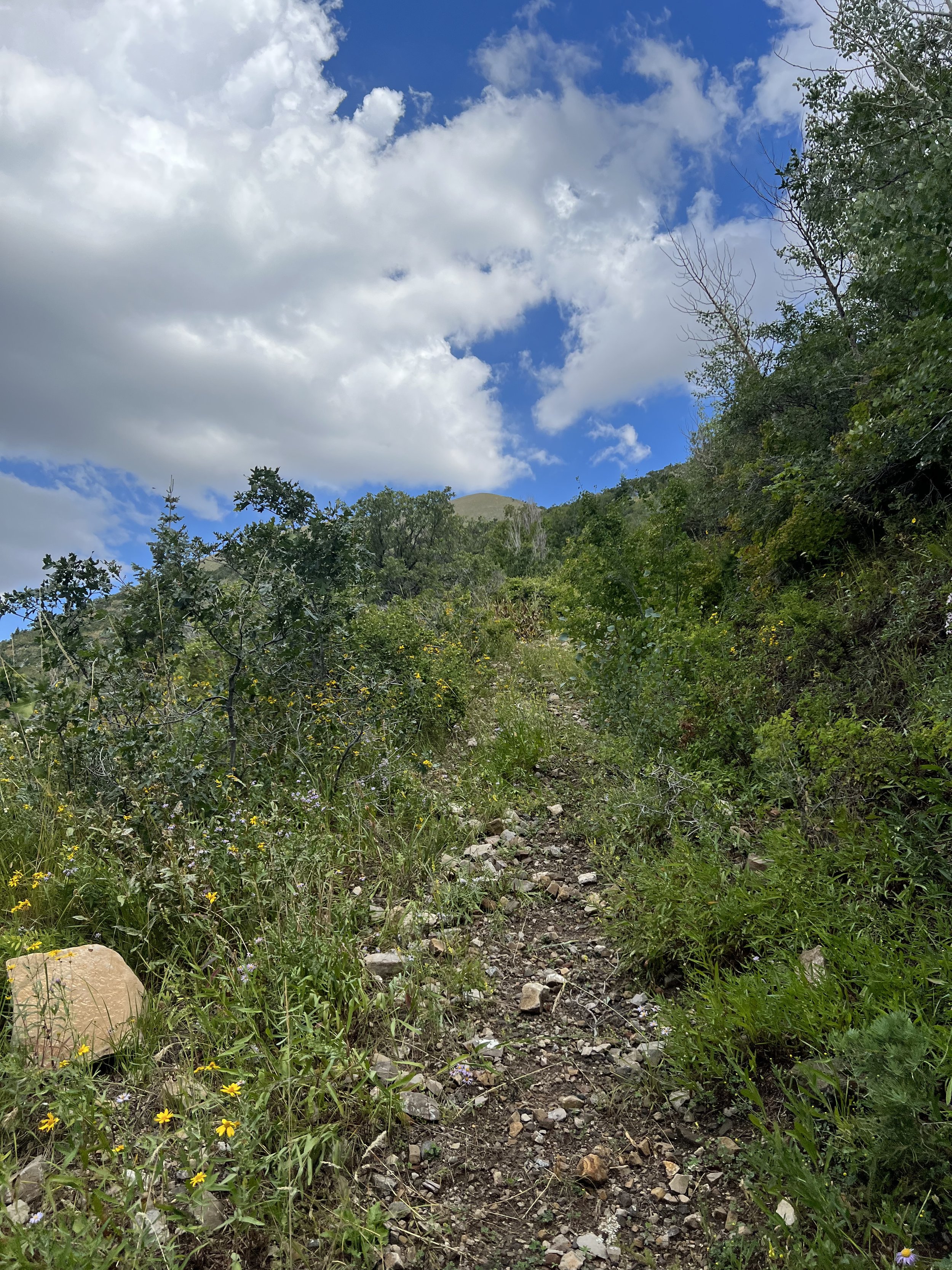
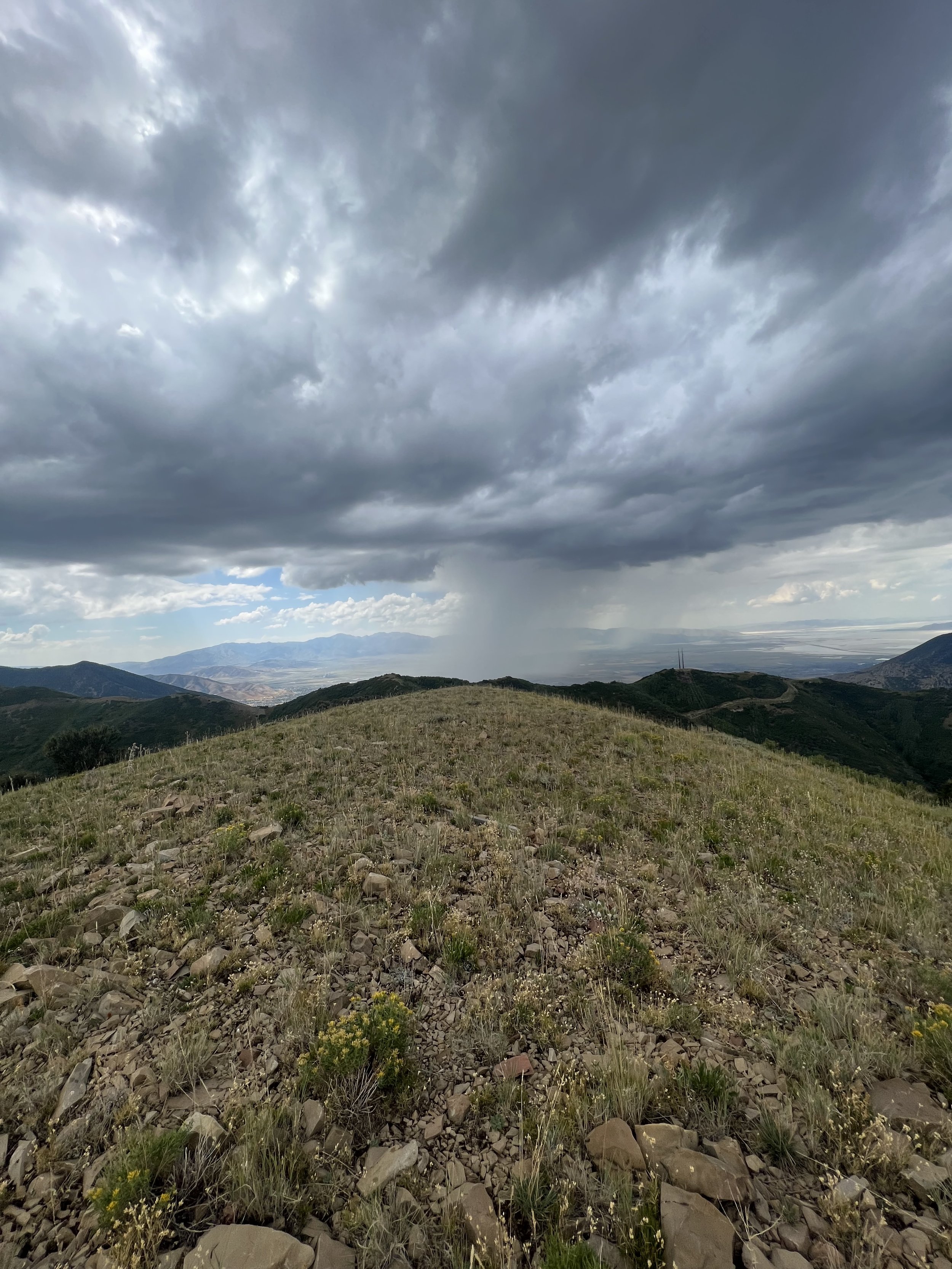
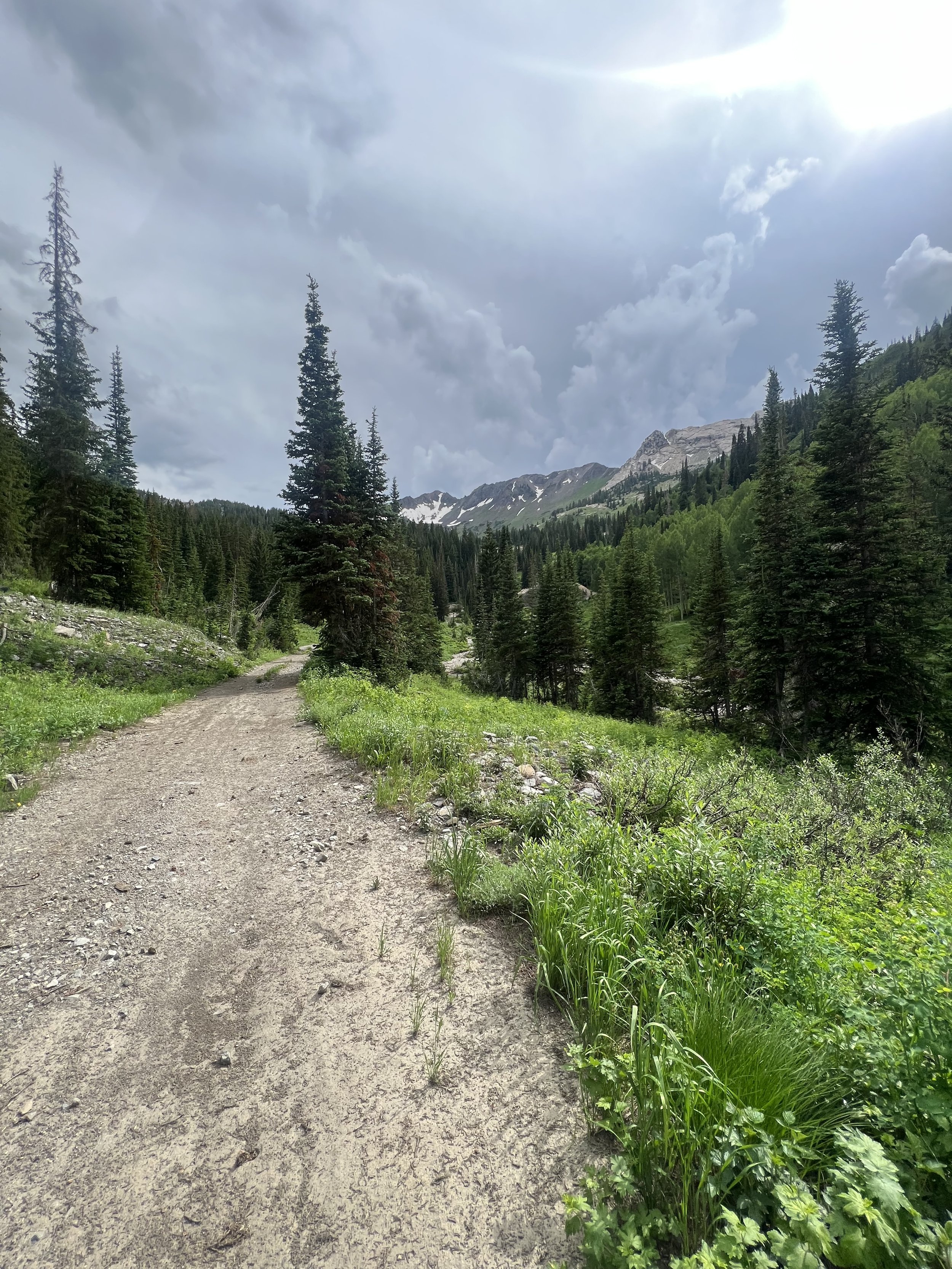
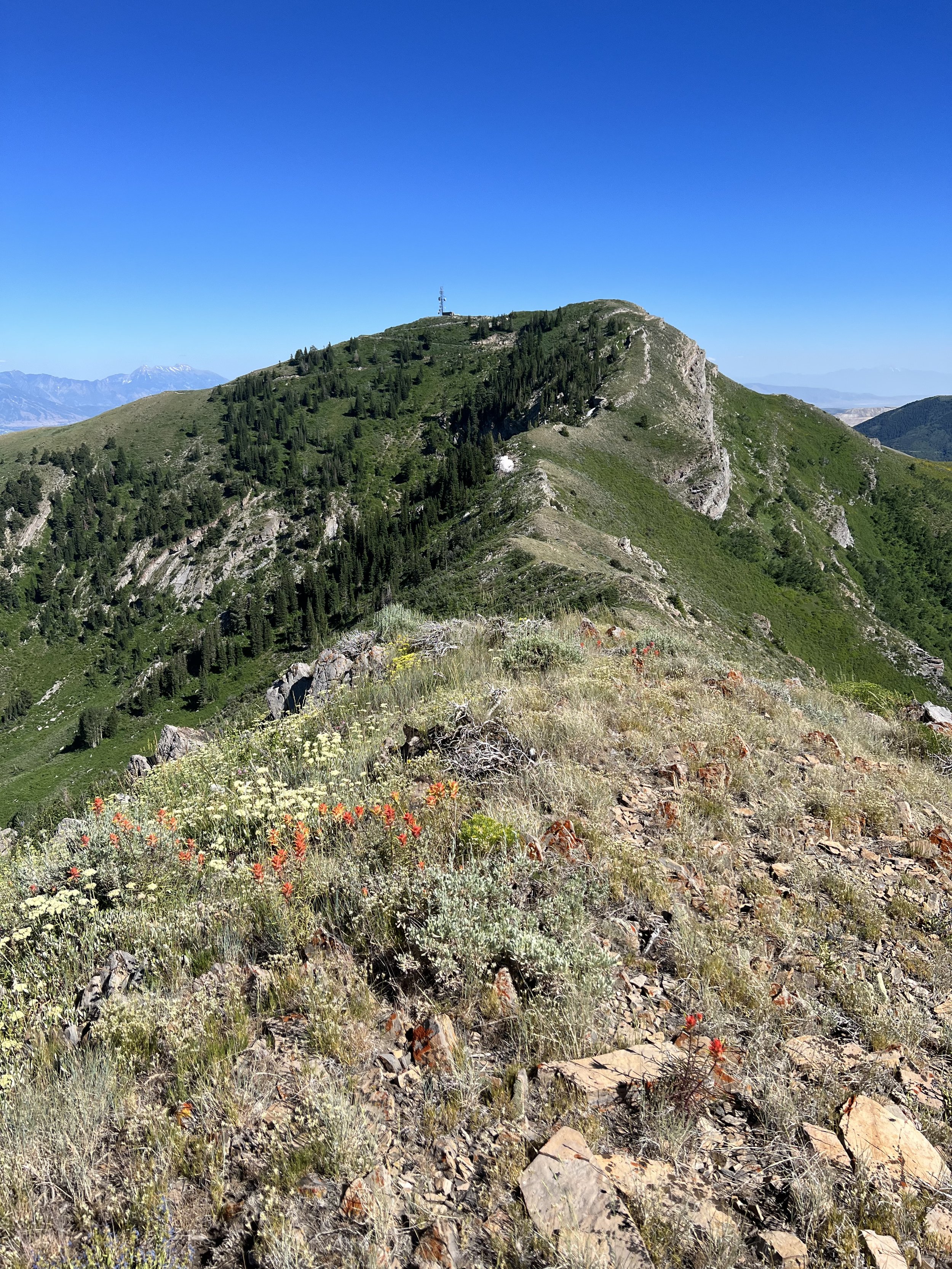
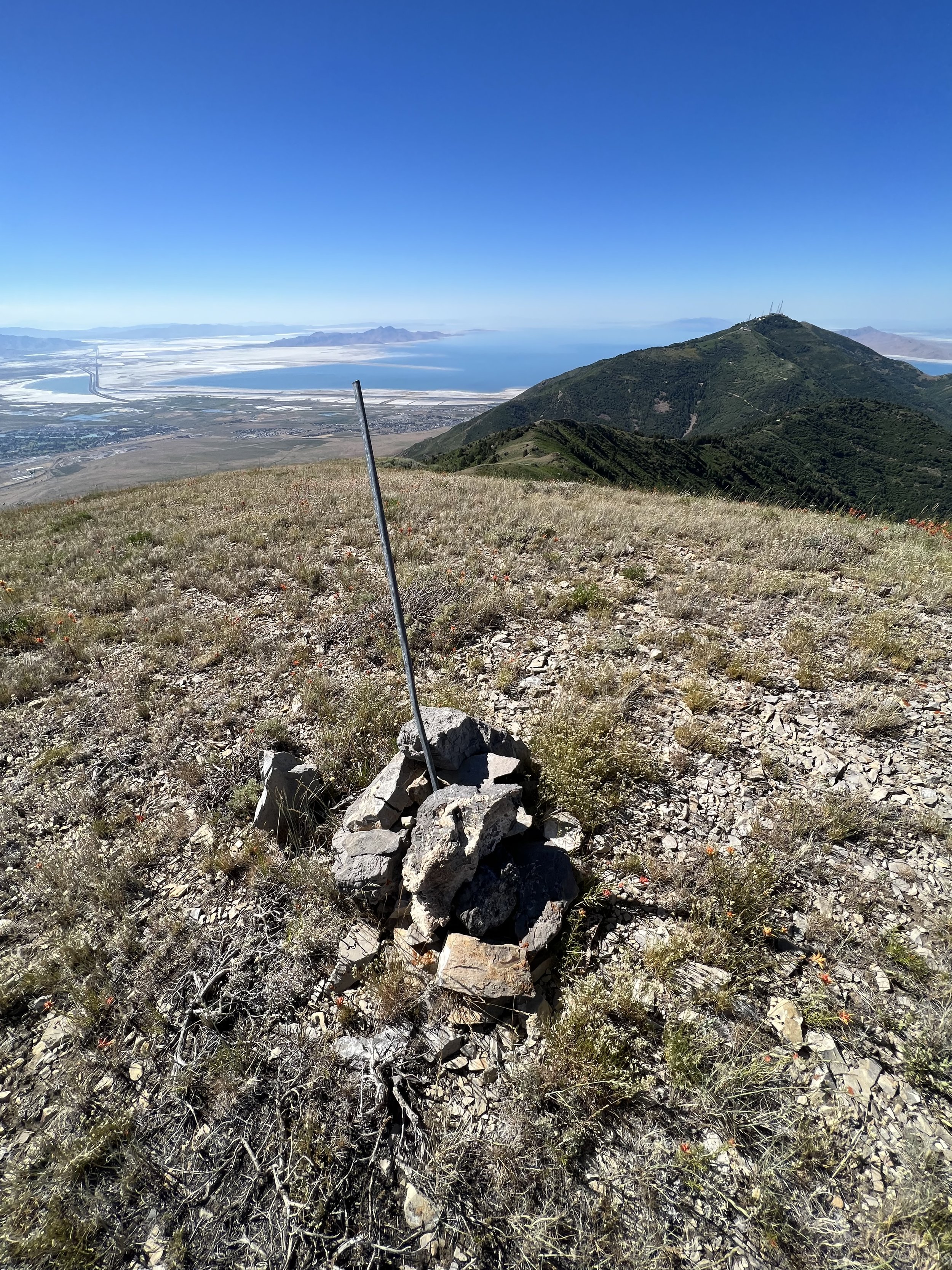
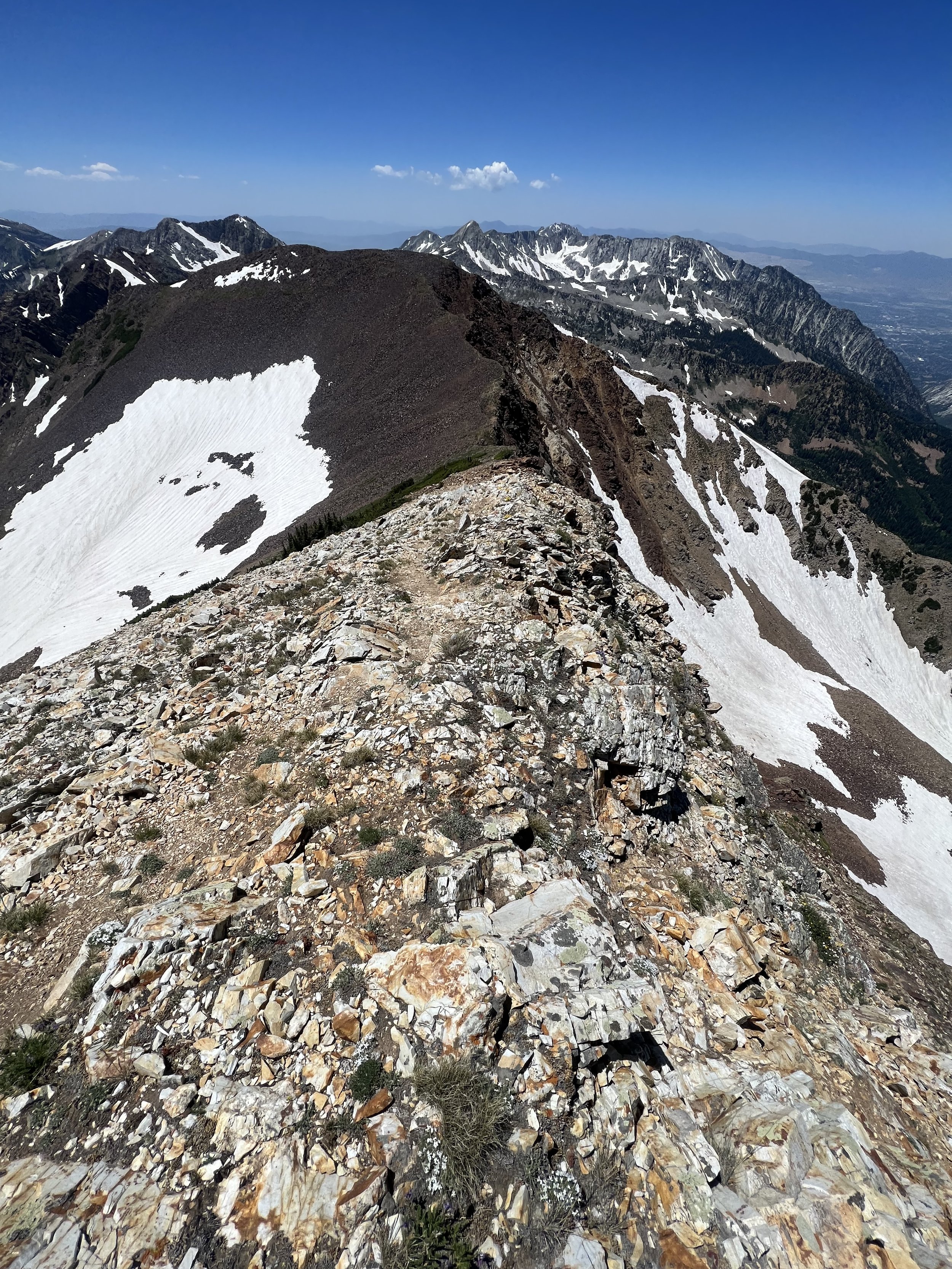
Summit 150 & 151 - Rocky Mouth Canyon Peak and The Belfry - September 20, 2023
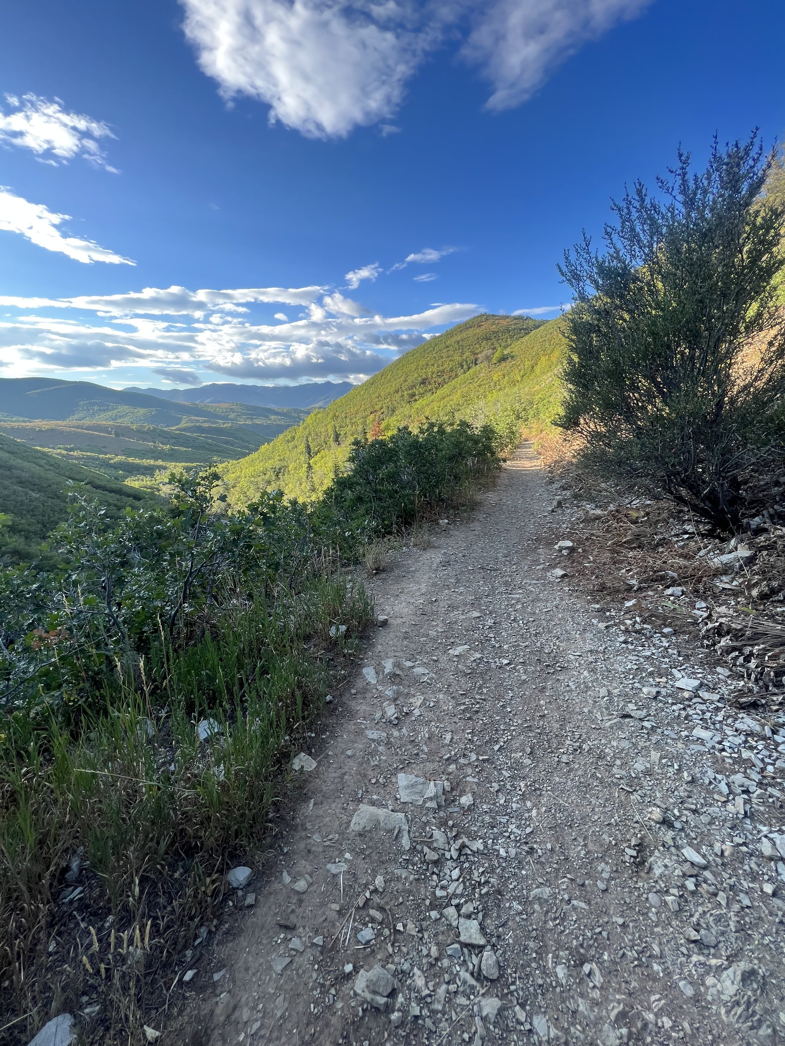
A nice mixed route featuring a steep, brushy trail, a rocky scramble summit, and a loose rocky descent with a little more bushwhacking. We started early, heading up the Rocky Mouth Canyon Trail. This felt very alpine in terrain with no short supply of brushy sections that filled my socks with water as I cut through the dense bushes recently rained on. We reached the meadow and ascended the summit of Rocky Mouth Peak in the most direct way, then enjoyed the views with some snacks once there. We continued along the technical ridge descending and then ascending until we reached the Belfry. We then descended to Bell’s Canyon Trail by way of what would make for a nice ski line. However, in the summer, it’s not that delightful.
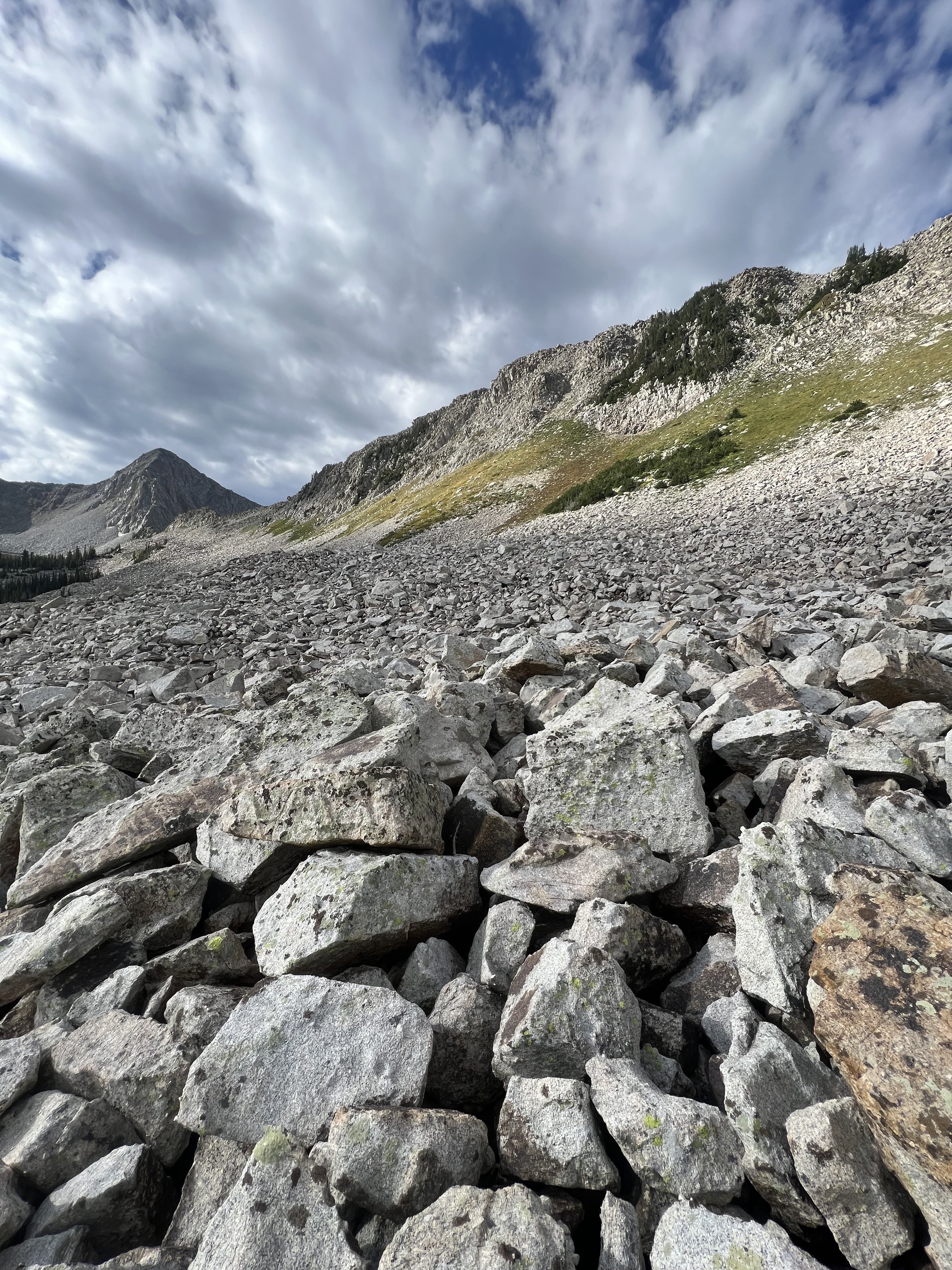
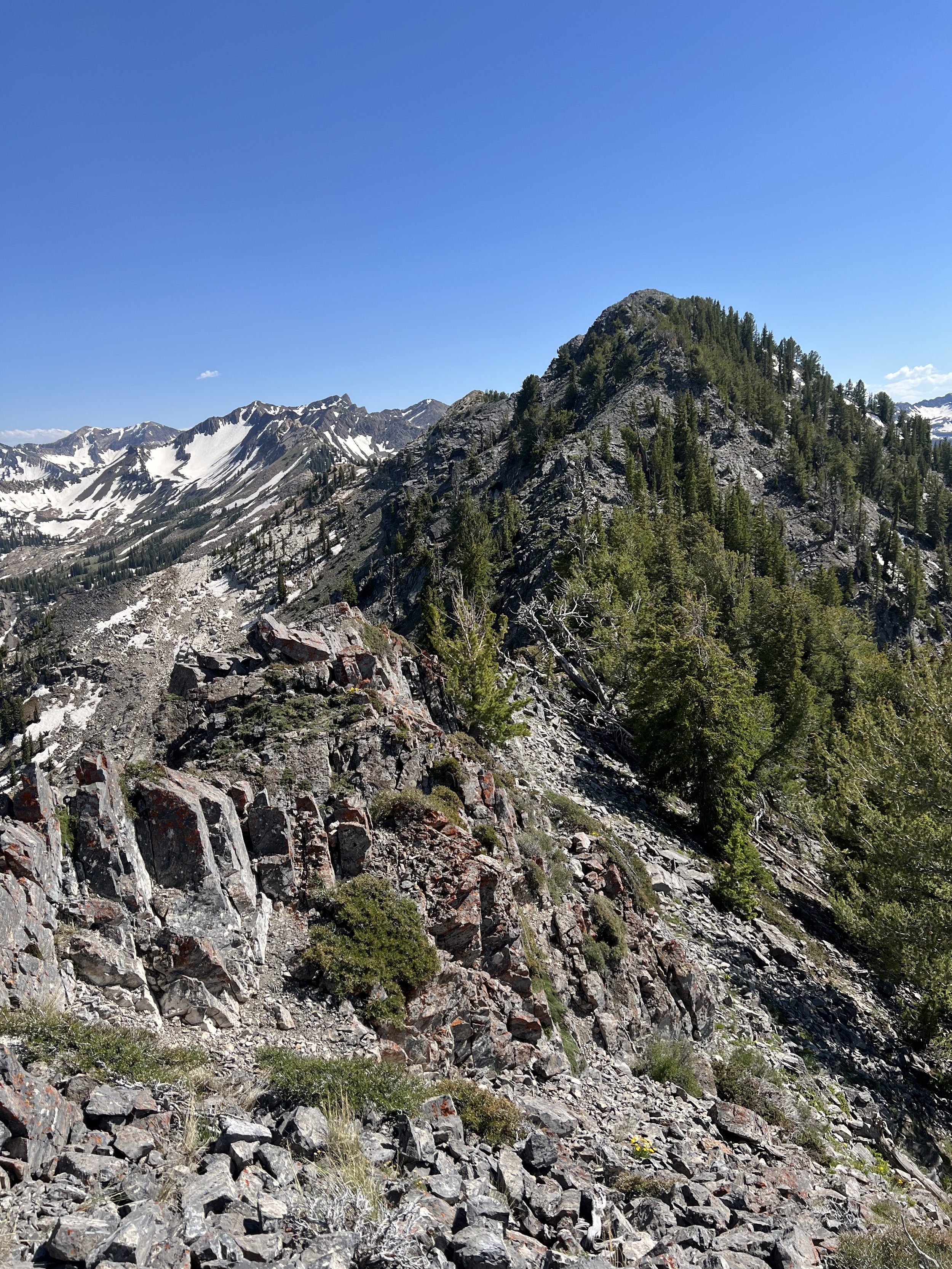
Images below: The early morning hour on the trail, The Rocky Mouth Trail as it gains into the main canyon, An upper meadow, Same meadow but looking in the opposite direction, The final meadow with a tiny Rocky Mouth Peak poking above the trees, The summit log atop Rocky Mouth Peak, The view from The Belfry, Along the Bells Canyon Trail looking at the final 3 summits of the project: the bell towers.
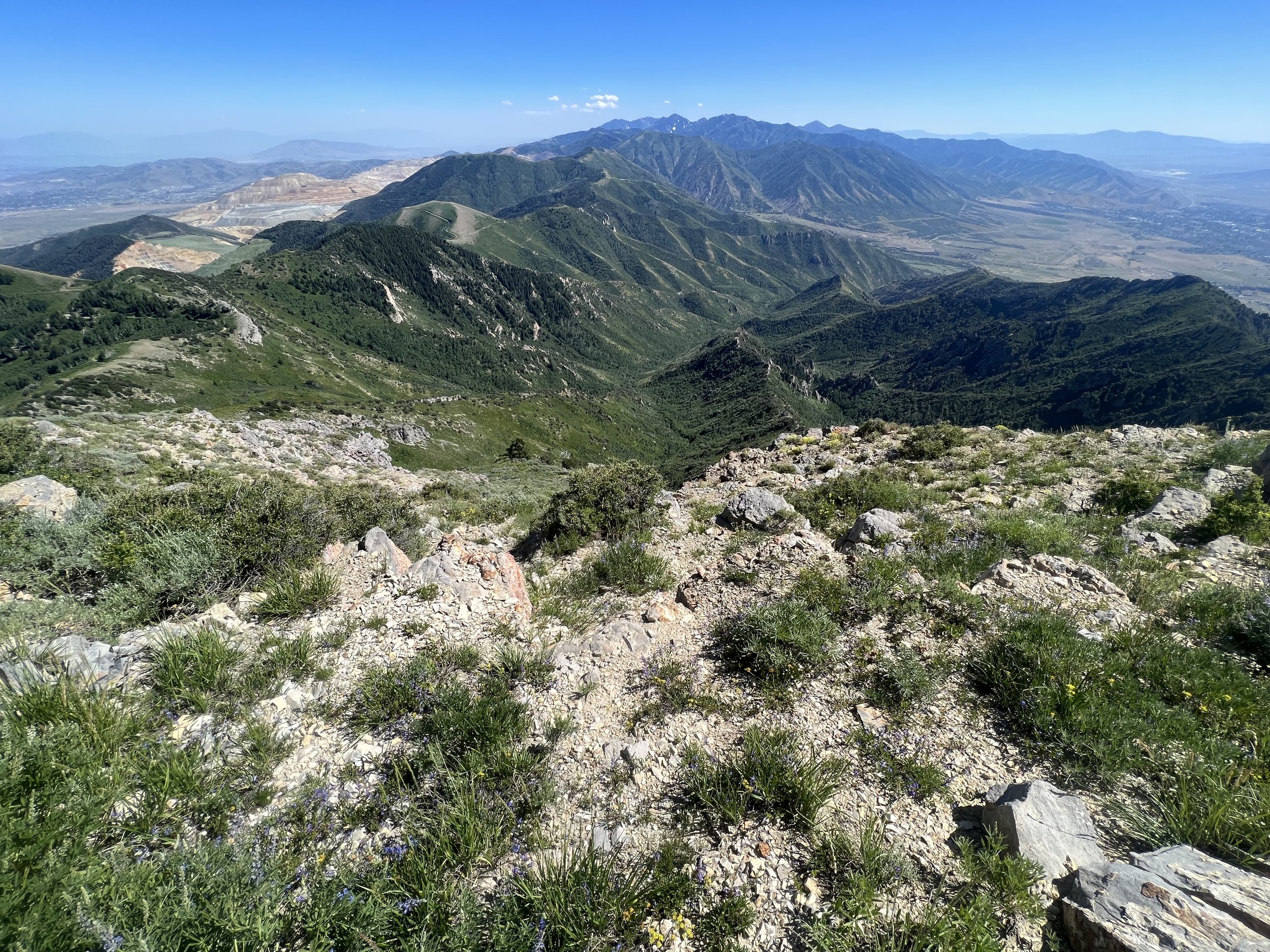
Summit 149 - Hogum DividE - September 18, 2023
A sneaky ridge more commonly skied, most likely visited in the summer by a handful of people ever. I ascended the Red Pine Trail to the Maybird Gulch Trail. I cut off from the trail before the lake to follow the easiest depressions and cross the river without issue. I traversed the scree field toward the perceived easiest gully where I could gain the ridge. This looked bigger than I expected, and ended up taking less time. I ascended the steep, loose, rocky gully to the rocky ridge then traversed south until I reached the true summit. The sky was grey, and it started to rain a little so I quickly headed back down the way I came.
Images below: From Maybird looking up toward the ridge, From the scree field looking up to the ridge, From the ridge looking south toward the high point somewhere, The summit of Hogum Divide looking north.
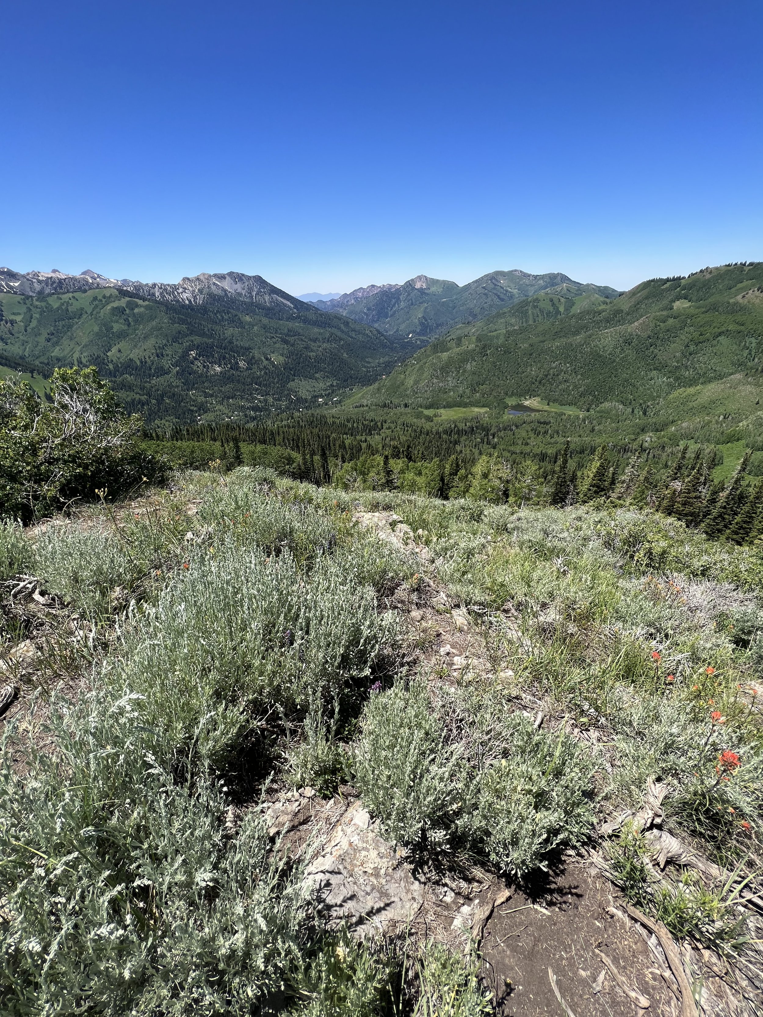
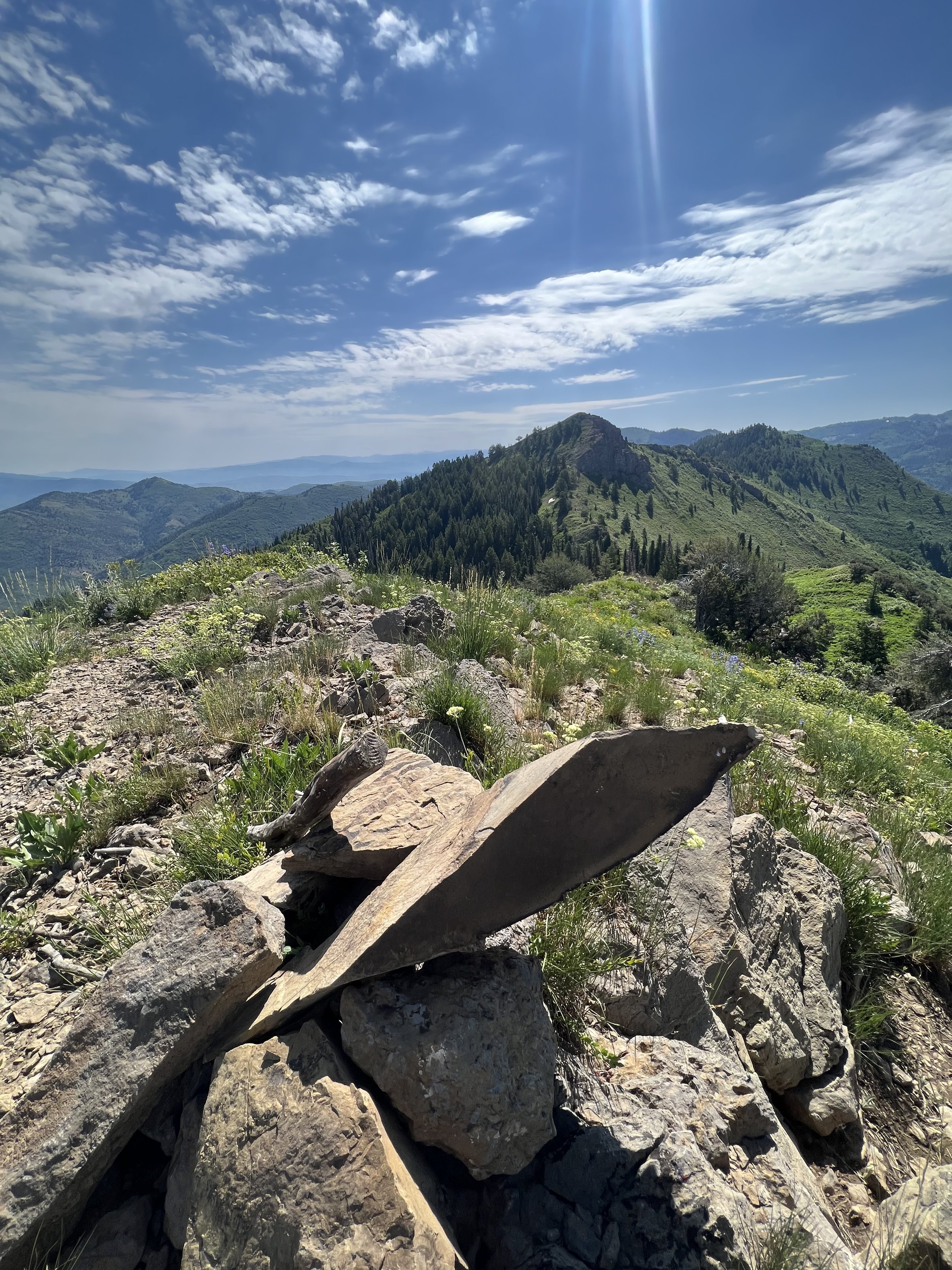
Summit 146-148 - No Name Baldy, Pfeifferhorn Peak, Airplane Peak - September 17, 2023
Stacked this one on tired legs. I gained the Red Pine Trail to the Pfeiff ridge, cut the standard trail to the north wast a bit early to tag the No Name Baldy Summit, then continued along through the technical ridge section and gained Pfeiff as quickly as possible. I was stunned to find that I was the only person at the summit for the few minutes I hung around. I headed east along the loose ridge to tag Airplane Peak. Then reversed back, not quite bagging the summit of Pfeiff again, but close.
Images below: The rocky ascent to No Name Baldy, From No Name looking down at the scree field below, Looking east toward Pfeiff, The summit of Pfeiff looking east toward Airplane Peak, The summit of Airplane Peak looking back at the Pfeiff, the lower Red Pine Trail just looking nice.
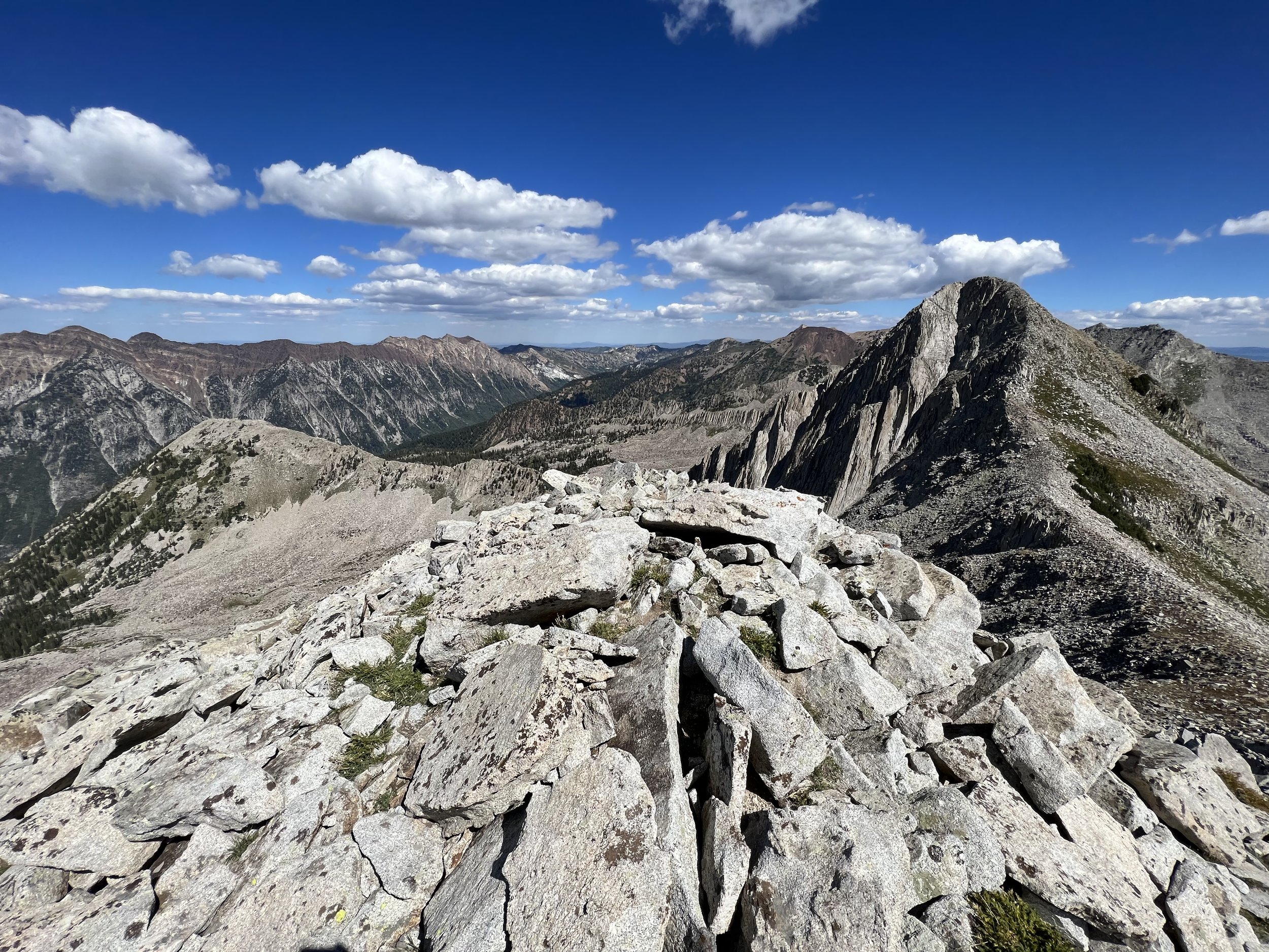
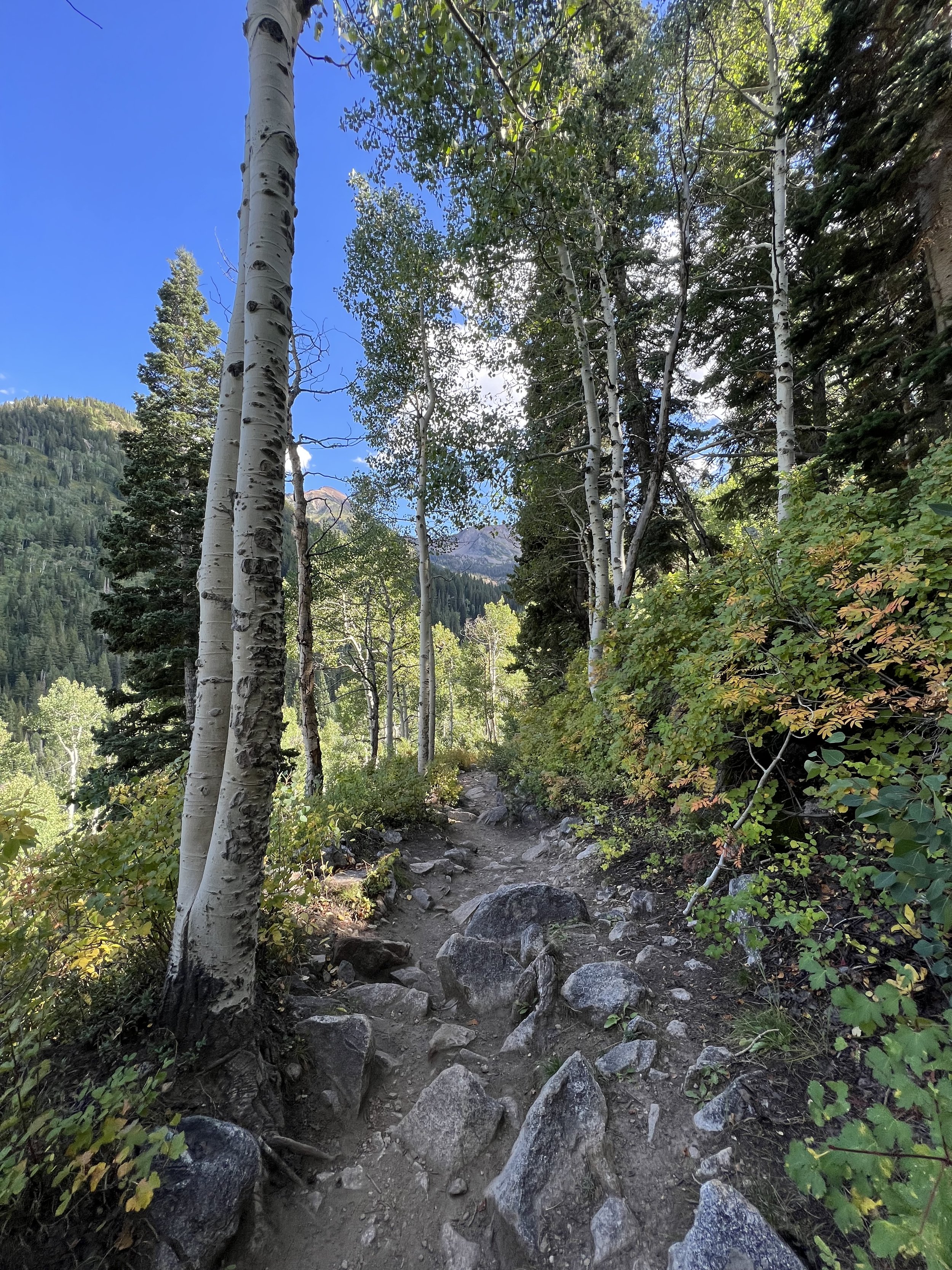
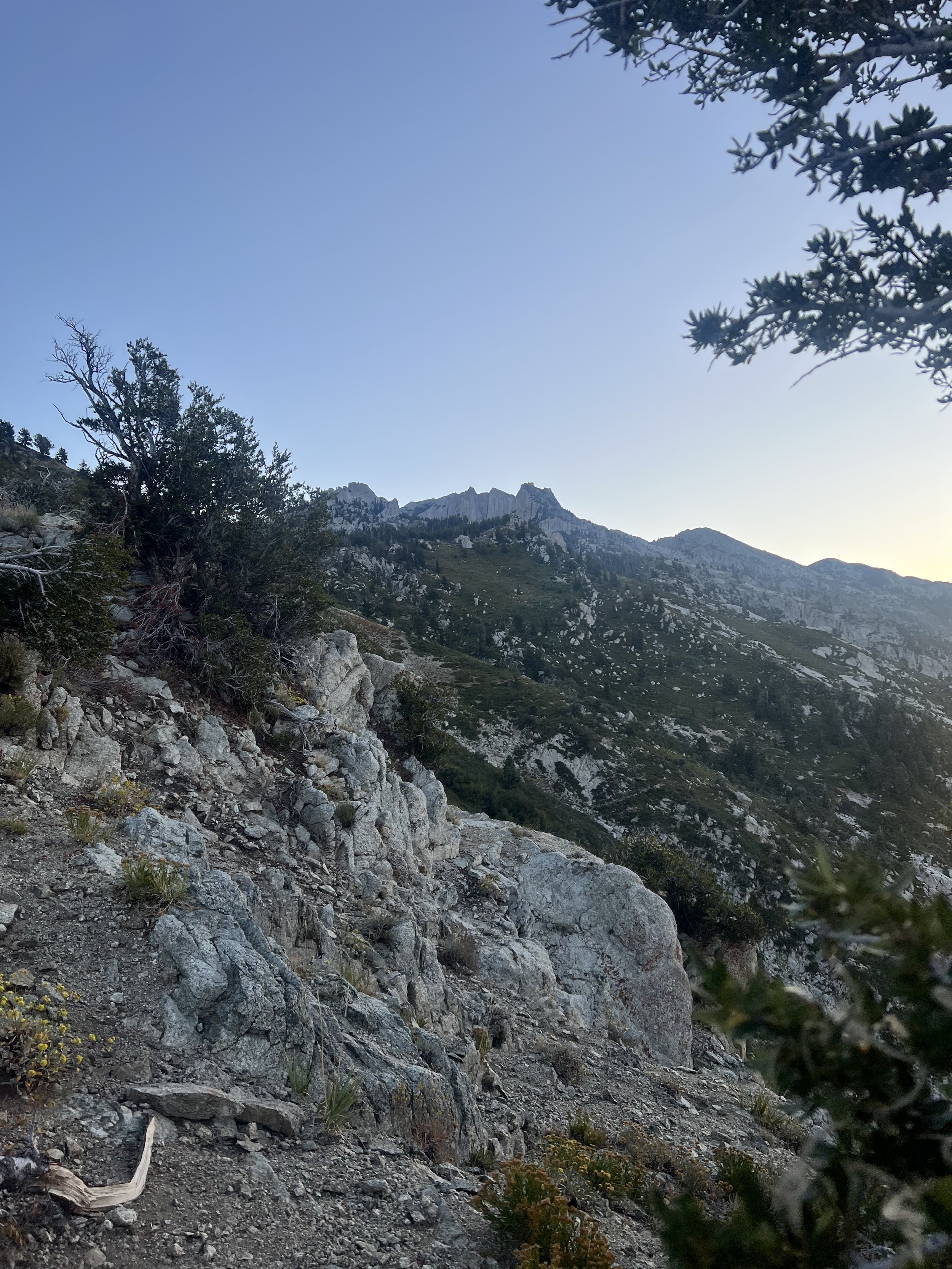
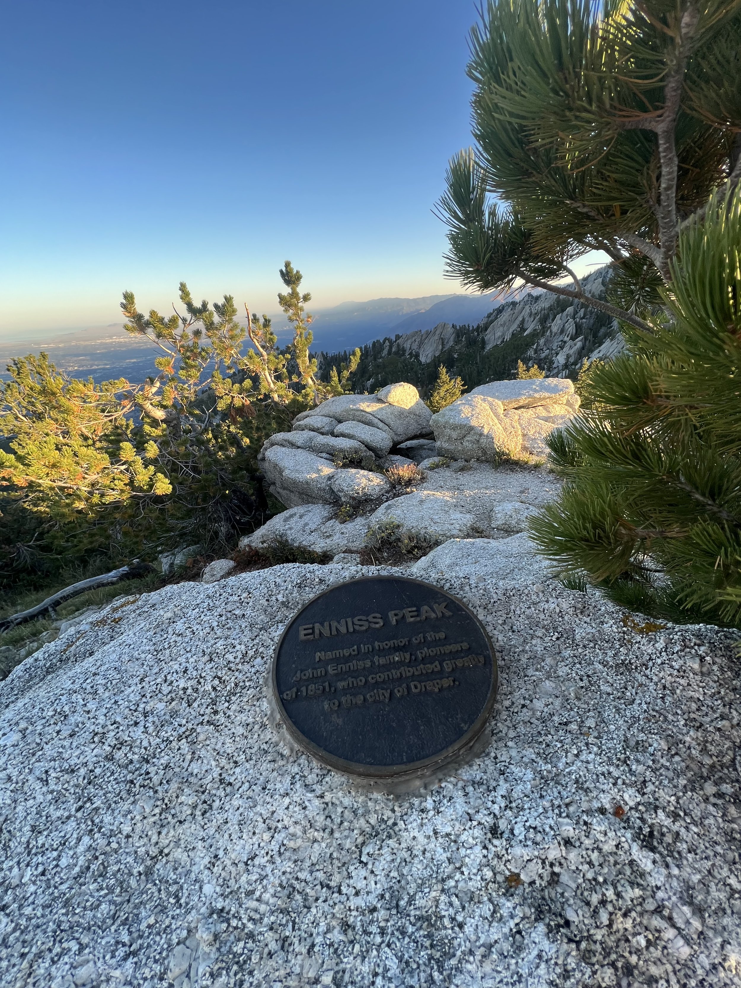
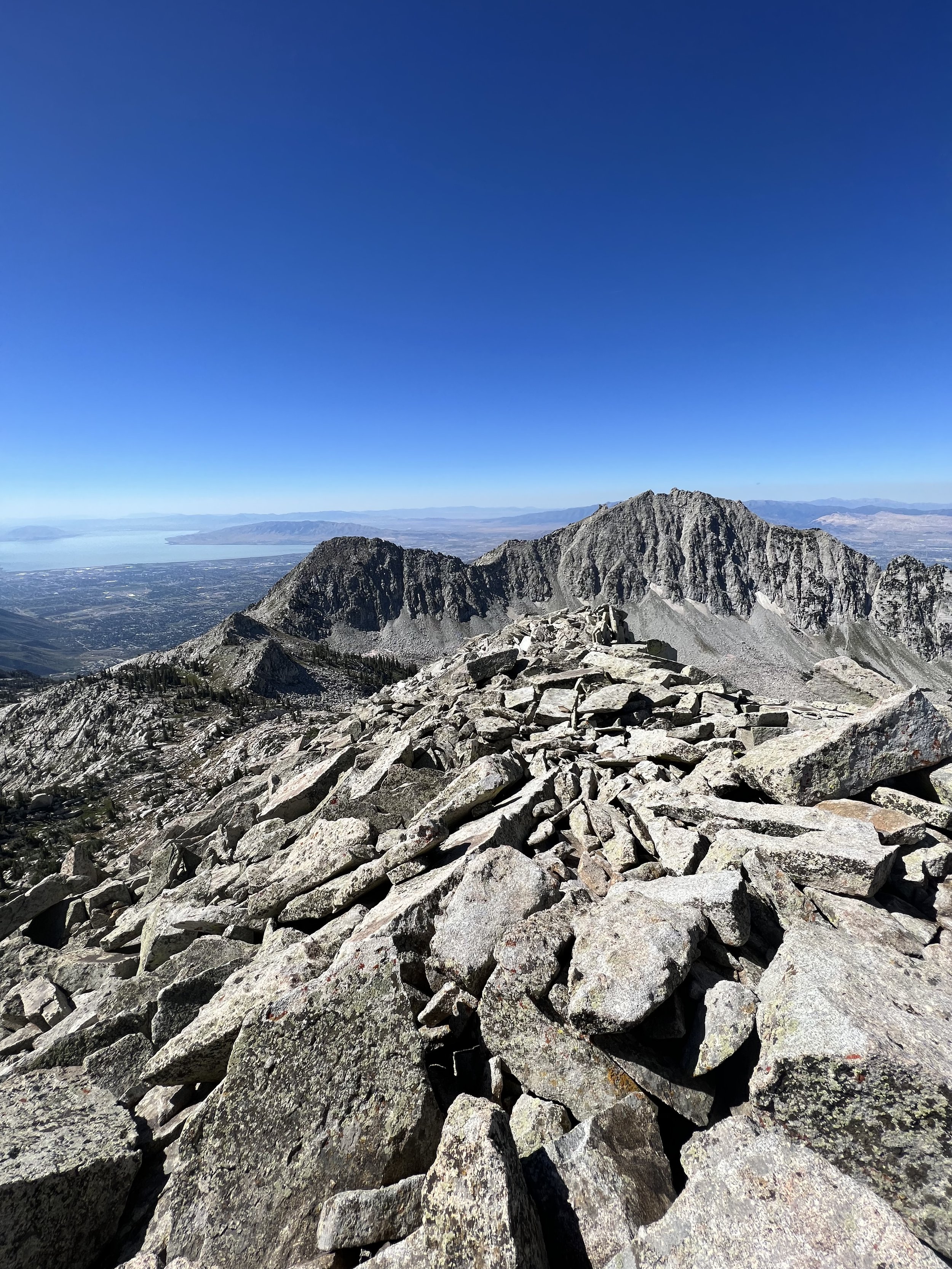
Summit 139-145 - Enniss Peak, Lone Peak (south), Lone Peak (North), Bighorn Peak, South Thunder Peak, North Thunder Peak, Bell’s Cleaver - September 16, 2023
This was intended to be a bigger day, but we got worked, and still ended up taking 12 hours to complete this point to point.
We ascended the Jacob’s Ladder Trail to Enniss Peak, continued to the meadow but took the right side climber’s trail to reach the summit of South Lone Peak first, vs the standard route that takes visitors to the North Peak first via a saddle trail. The climbers trail goes at 5.7 in spots and isn’t without exposure. Proceed at your own risk. We continued after the Lone’s to Bighorn where we saw 2 hikers with a large husky dog. This is in no way a trail fit for any dog. It’s huge boulder with consequential exposure, and is difficult for a human to navigate, let alone a dog. The hikers seemed distressed trying to carry the dog over boulders and asked about an easier way out. Please leave your dogs at home.
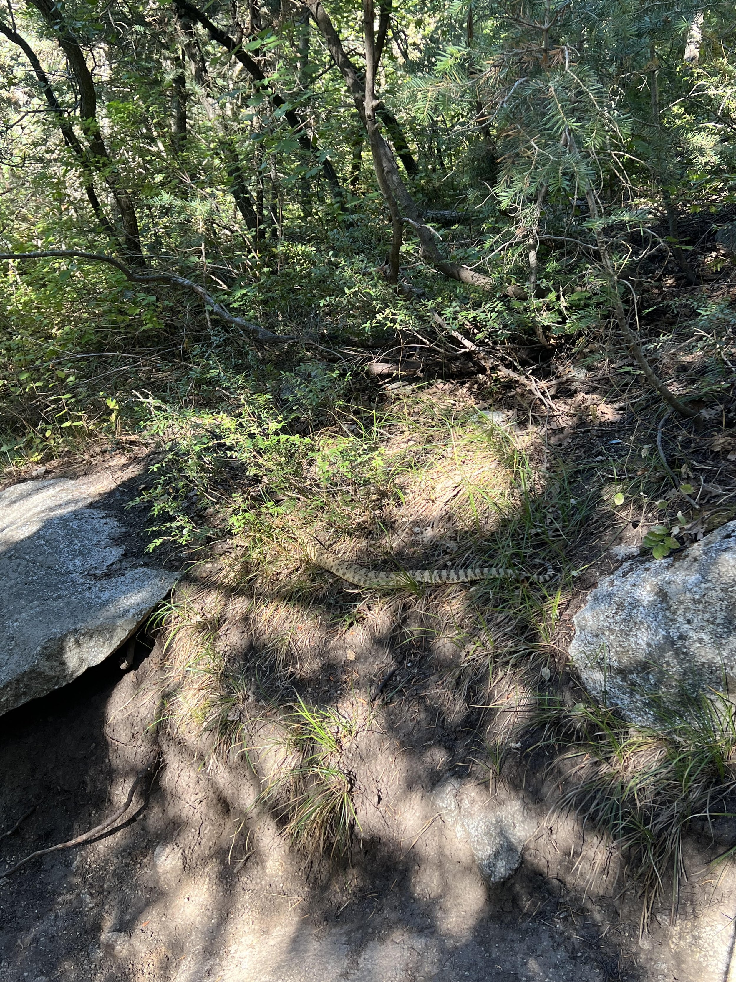
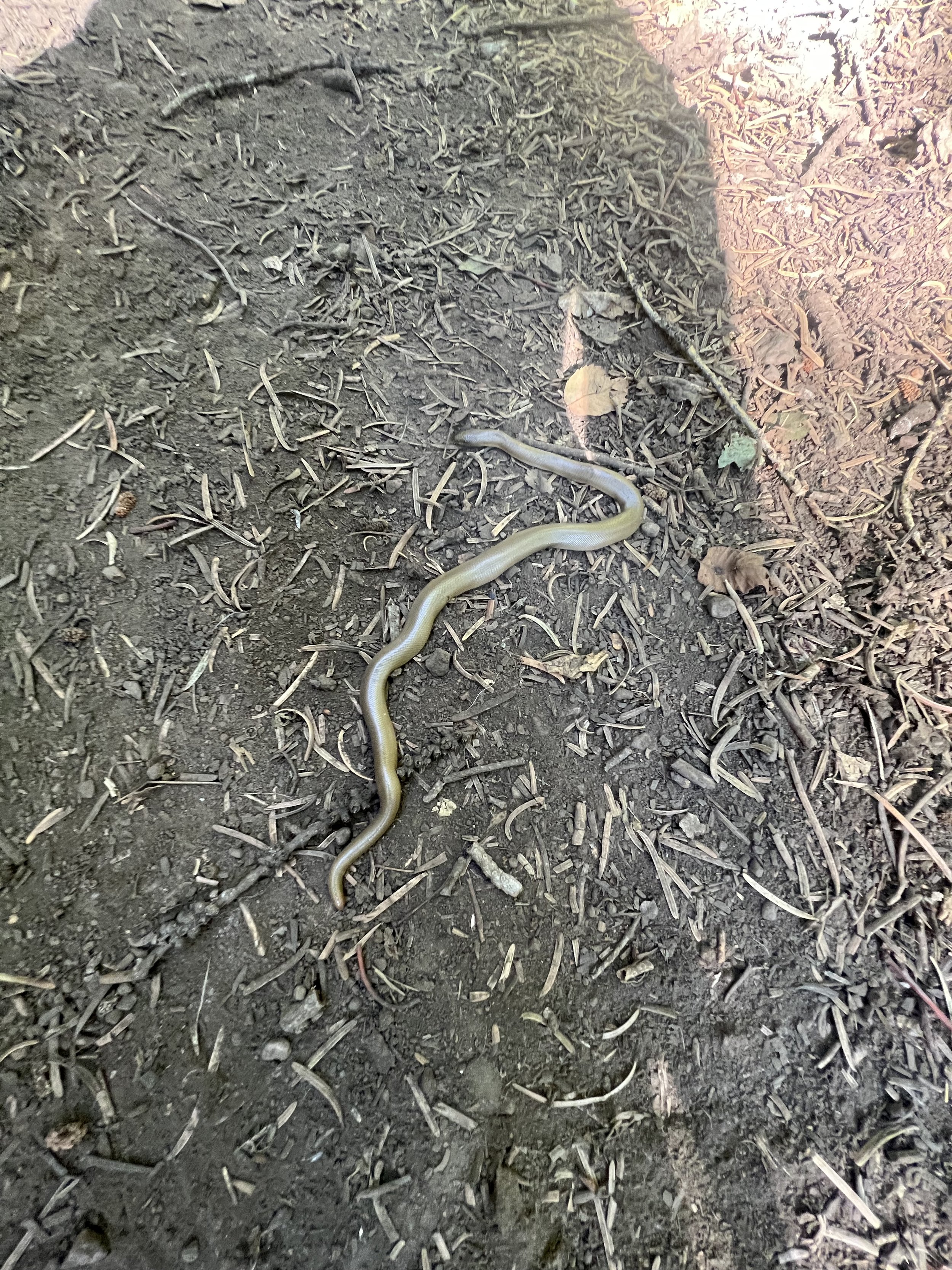
We continued to the South Thunder summit and started to feel worked. We met a nice group of hikers at the summit and I got a kick out of the summit log with dates older than I am. We traversed the very technical “Thunder Ridge” to North Thunder, before realizing we had to change plans to finish with Bells Cleaver and then bail down Bell’s Canyon. Our original plan to reverse back along Thunder Ridge and tag Pfieff was posing a threat to time and food. We crossed the valley to the ridge with Bell’s Cleaver and ascended the summit along the sketchiest knife ridge of the entire day. I mounted the summit rock, ate a snack, and then we descended as efficiently as possible without having to backtrack the death Jenga blocks. We bemoaned the long and technical Bell’s Canyon Trail the whole way out, but did enjoy the one large spicy snake we saw about 2 miles from the end.
Images below: My first glimpse at Lone Peak from the top of Jacob’s Ladder, The summit marker for Enniss Peak, Lone Peak in the distance, The rocky gully gaining to the meadow, From the south summit of Lone Peak looking toward the North peak, From the north summit looking back at the south summit, The summit marker on the top North Lone Peak, Looking down the ridge to Bighorn summit, The summit of Bighorn looking south over Provo, The summit of Bighorn looking across the ridge to South Thunder, The summit of South Thunder, The summit log on South Thunder with an entry from ages ago!, The summit of North Thunder looking back toward South Thunder, The mailbox on North Thunder, The Summit of Bells Cleaver, The dry lakebed below Bells Cleaver also known as the upper Bells Canyon Reservoir, The thicc rattlesnake I saw on the trail out.
Summit 131-138 - Broad Fork Twins (East), Broad Fork Twins (West), Jepson’s Folly, Sunrise Peak, Dromedary Peak, East Dromedary Peak, Campbell Peak, Sundial Peak - September 9, 2023
Wow. It went all wrong until it went right.
I forgot my headlamp, had to ascend to the valley in darkness behind Keenan so we basically just hiked. My stomach felt terrible for the first 4 hours. But the views! This ridge! We did a modified version of the Triples Traverse: ascending the Bonkers gully to the northern ridge, tagging both Twins, then scrambling along all the way to Campbell Peak where the sub-ridge to Sundial splits off. We added that as a quick tag, then reversed the Sundial Ridge to a low saddle point and descended into the upper Blanche valley. We thoroughly enjoyed the masses of hikers on the very popular Lake Blanche Trail, including two rude dudes who had their dogs… common’ ppl! I felt beat after a rather long day out, but I’m stoked to have traversed this ridge. It was a beauty and a little less technical than I was anticipating.
Images below: Light making the valley below the Twins visible finally, The valley below, The rocky ridge on the north side ascending to the Twins, From the West Twin looking to the East Twin, From the East Twin looking to the East Twin, back on the West Twin looking out at the ridge, The summit of Jepson’s Folly, The summit of Sunrise Peak with our new friend, Looking west along the ridge, The Summit of Dromedary Peak, The summit of East Dromedary with mailbox, Looking back at the boys, The summit of Cambell Peak, The summit of Sundial Peak.
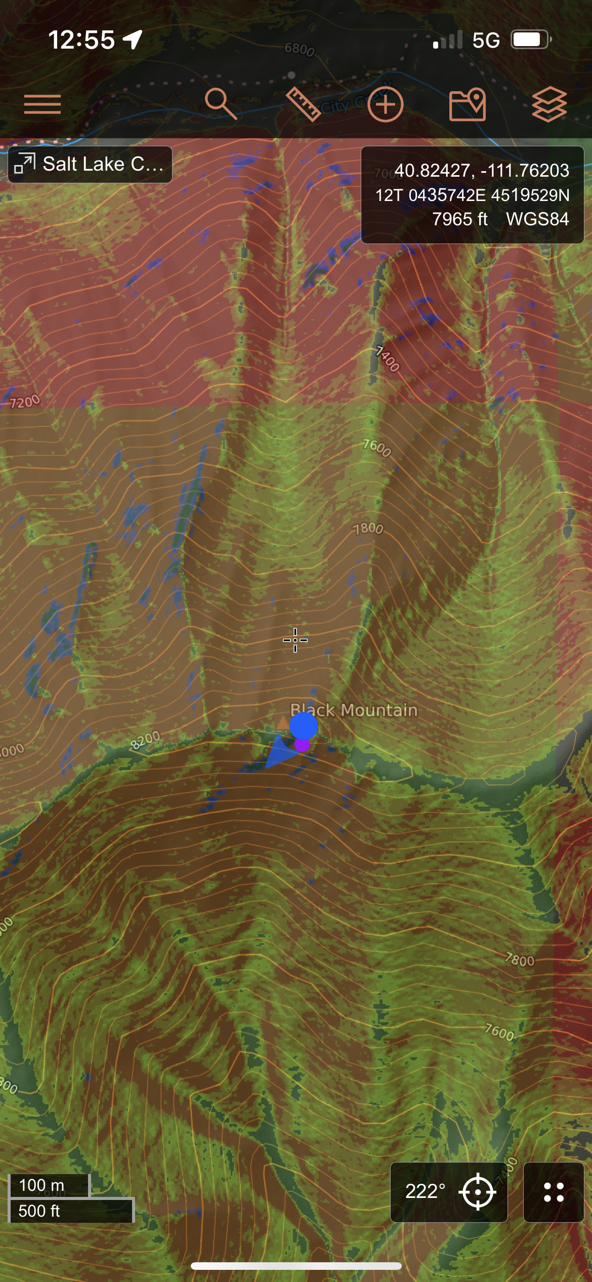
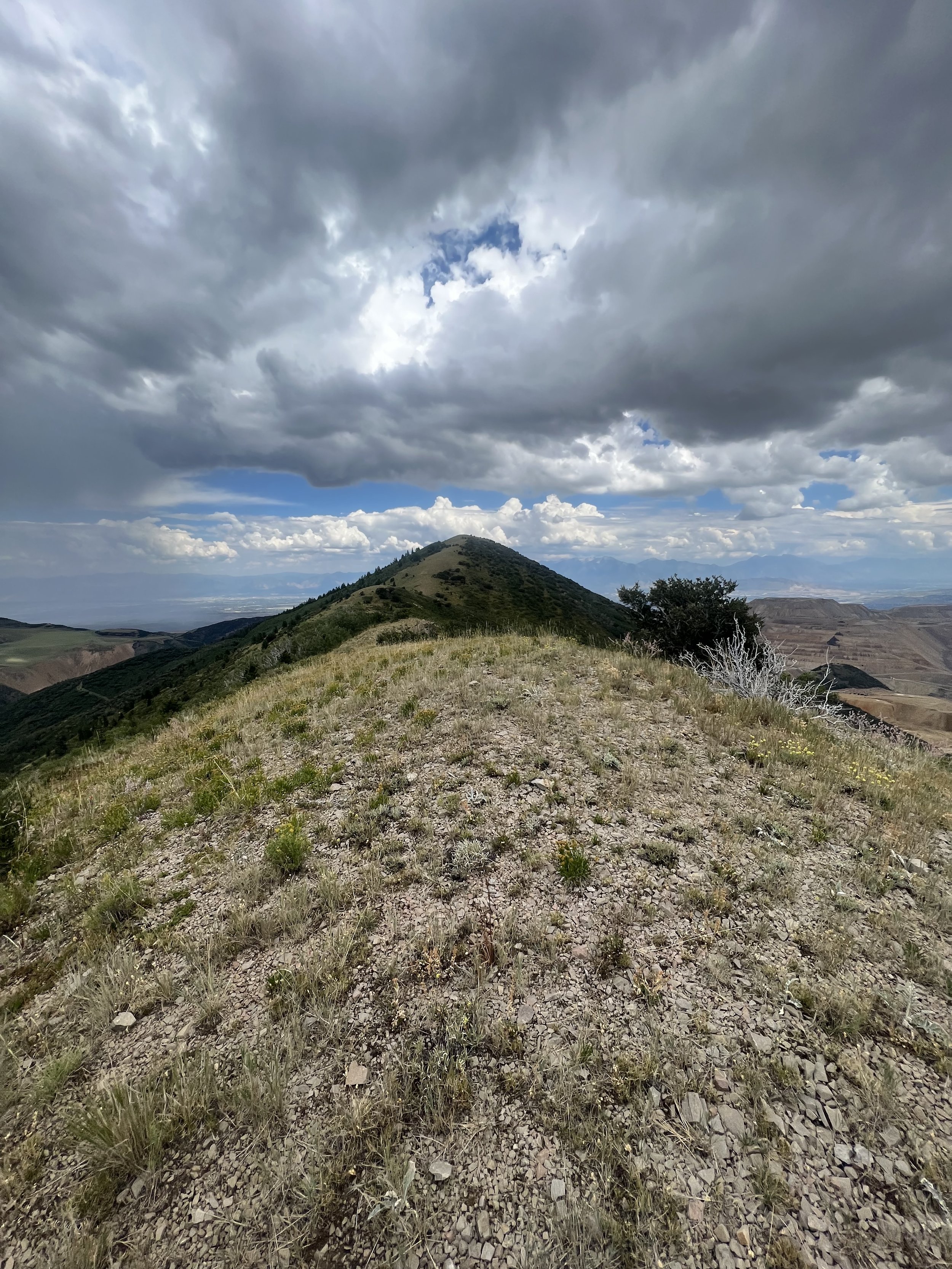
Summit 130 - Black Mountain - September 8, 2023 (And bonus Knowlton’s Knob)
This one I savored. It is the only peak I had to bail on during an attempt earlier in the year, so finally finding my way to the summit felt incredibly accomplishing especially because of the tediousness and difficulty it required enduring.
I ascended the Burr Trail to the ridge, took the faint eastern connector to the steep climb to Knowlton’s Knob (didn’t know this was named, but it has since joined the list), and then traversed west along the ridge trying my best to find the most simple path. I had a doozy of a time, snagged my clothing on so many branches, became covered in stickers multiple times, fell up and fell down steep slopes, but I made it. I couldn’t stick around for too long though because I had to traverse back, and it had certainly taken a long while to cover not so long of a distance. Alas, a couple hours later, and totally out of water, I was back at the car.
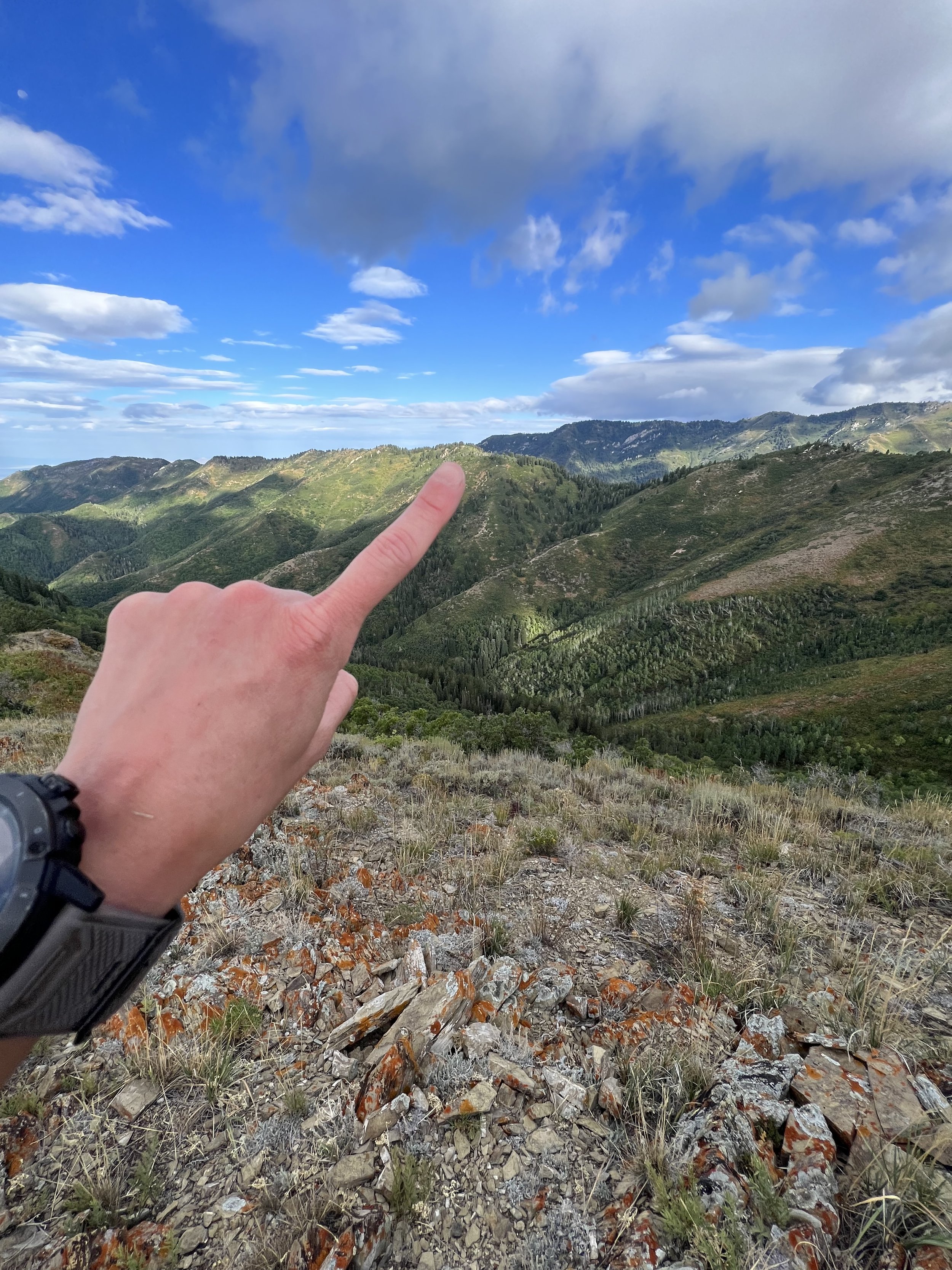
Images below: Some snaps of the lower trail that is a bit brushy in spots, The bushwhacking conditions on the ridge, The thicket just below the true summit of Black Mountain, The rocky summit of Black Mountain, GPS proof, The view from Knowlton’s Knob looking back toward Peak 8192.

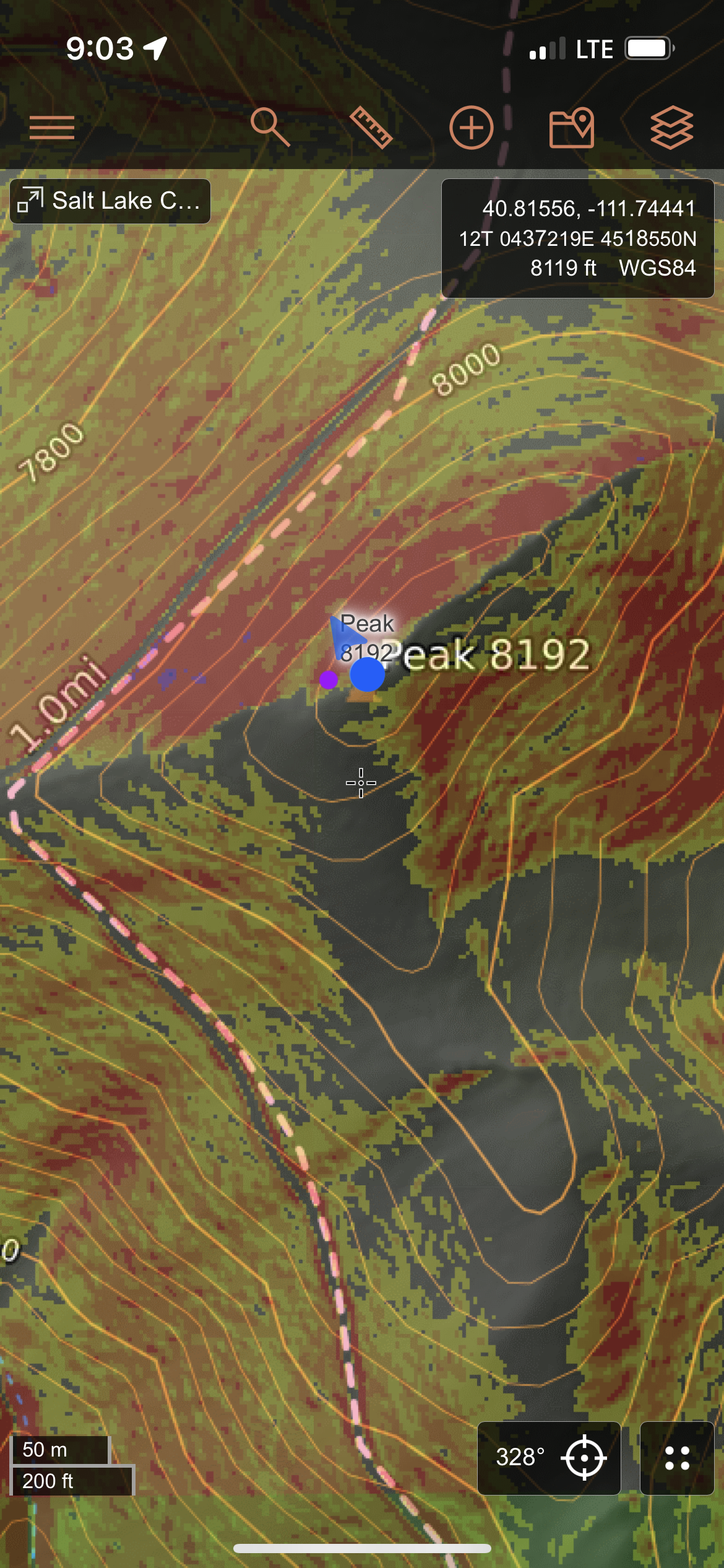
Summit 129 - Peak 8192 - September 3, 2023
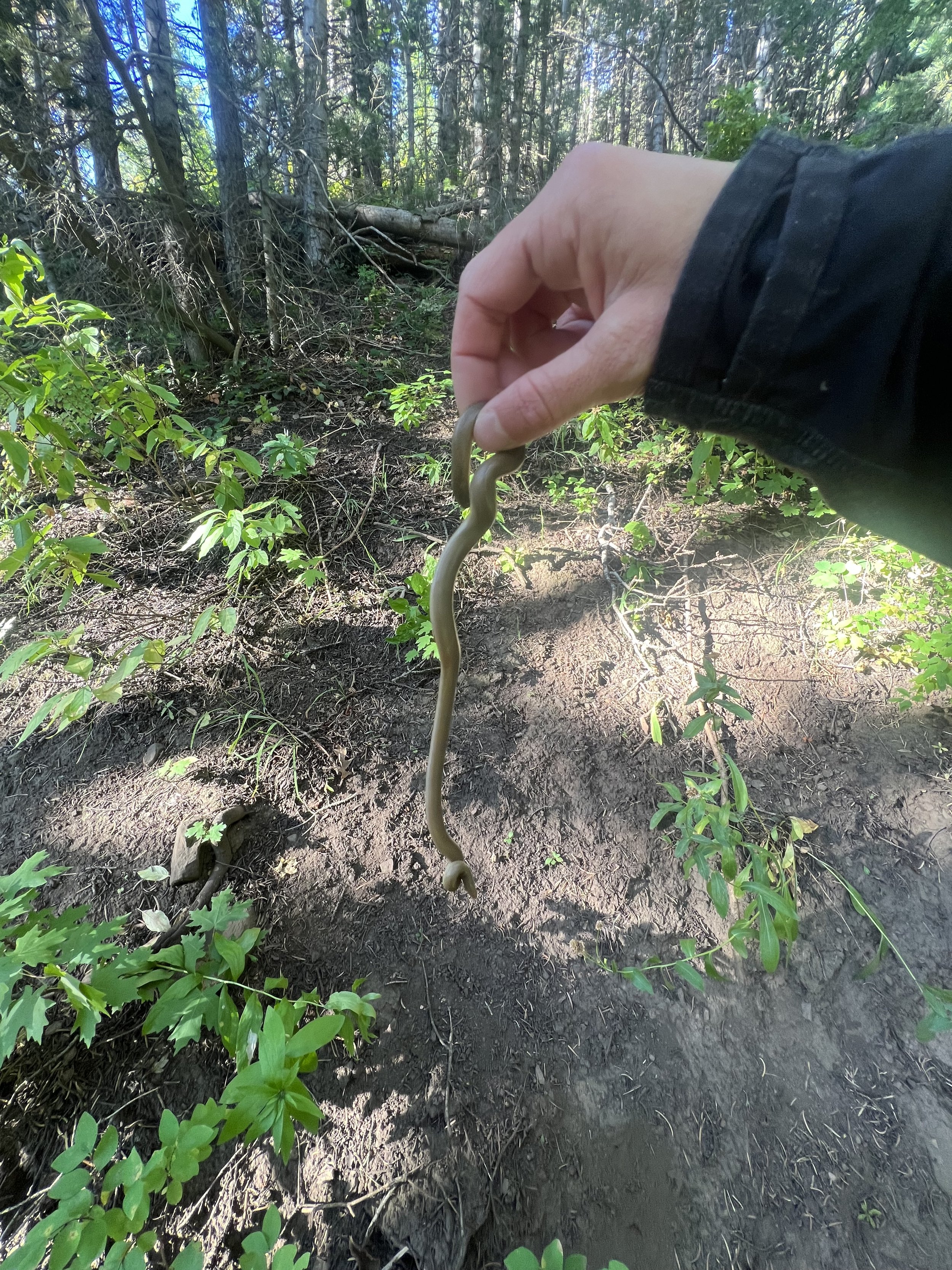
Unexpectedly found one of my new favorite trails. The lower Burr Trail is smooth, straightforward and quickly becomes more technical. There are rocky sections, steep forested sections, and some pretty nice single track once you get to the ridge. Traversing the ridge until you get to the most clear section for gaining the summit is the ticket. Reverse out. I saw one rubber boa, encountered quite a bit of growth (thanks spring snowpack), and a few friendly hunters.
Images below: The lower Burr Trail, A rubber boa, So cute I had to hold it, GPS proof of summit, The view from the summit of Peak 8192 looking out to the real Black Mountain summit.
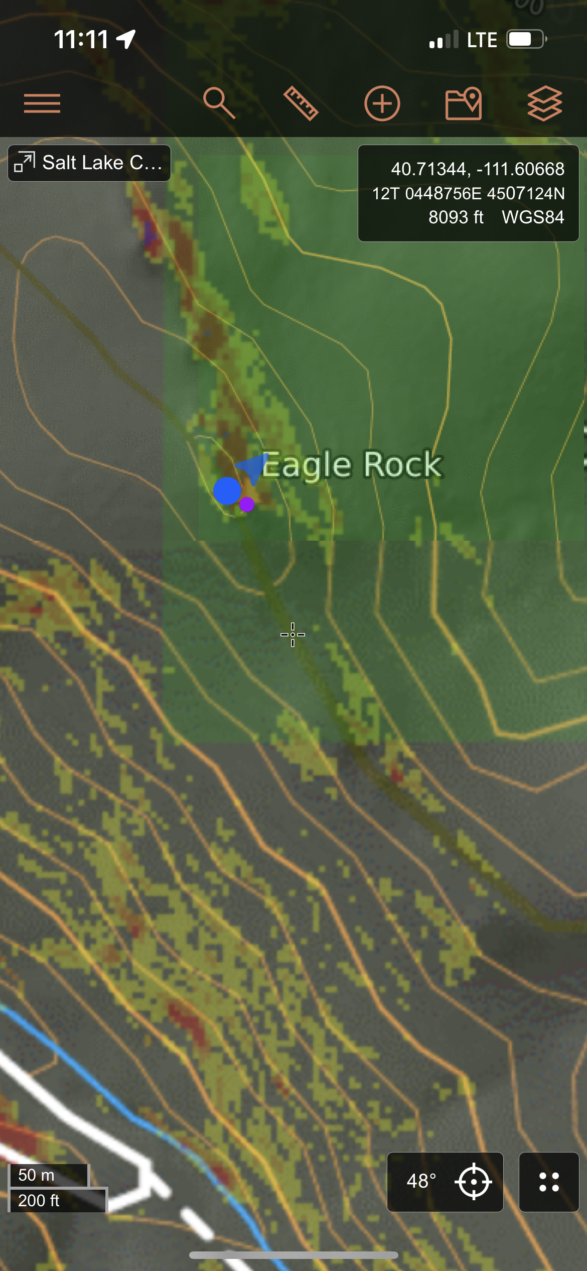
Summit 128 - Eagle Rock - September 2, 2023
Accessed by driving up Lambs Canyon Road to the closed gate. Gain the road for .5 miles and ascending the thick brush due east after crossing the river. There are many private property boundaries in this area, but probably more wasps nests. Travel with respect.
Images below: The thick bushwhacking along the slope to the Eagle Rock summit, First glimpse of the rocky outcropping that is the summit, The rocky summit of Eagle Rock, GPS screenshot to confirm.
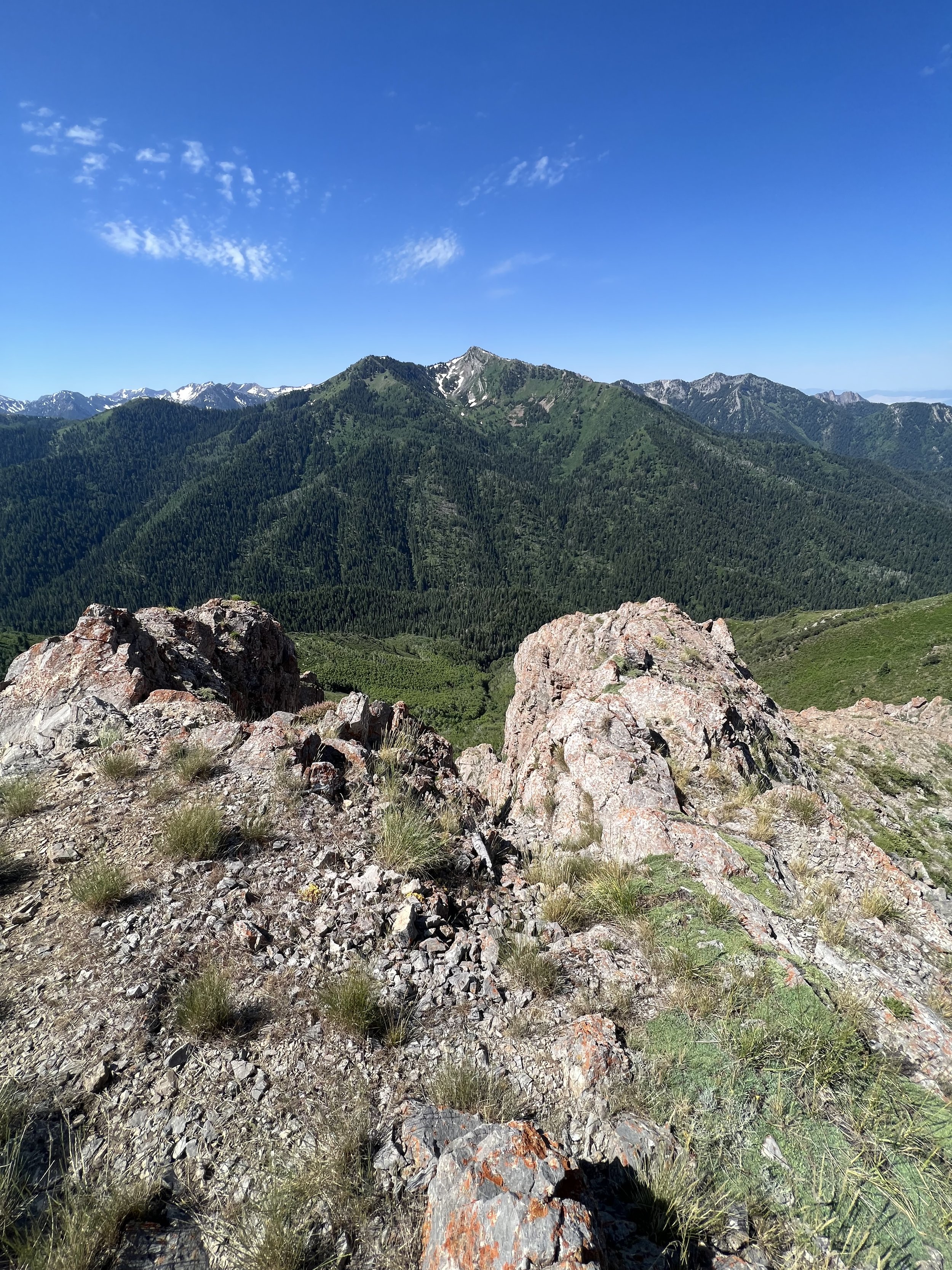
Summit 127 - White Baldy - August 31, 2023
This one will remain a difficult one always. The ridge to baldy on the east side is certainly some of the most technical scrambling in the entire range. Loose rocks, steep and exposed moves, this isn’t for everyone. I lucked out as I have done this one before, so I was able to navigate it without any stress. If you’re not doing it as part of the WURL, the most common way thereafter is to ascend White Pine, cross the scree field and ascend to the ridge at a somewhat obvious low point in the saddle. Traverse as true to the actual ridge as possible, dipping only to the south side once where it clearly makes sense. Continue across the summit ascending the gradual scree field to the junction of the Pfeifferhon trail and descending the Red Pine trail to make a lollipop. I enjoyed the day alone, managing to finish the loop faster than my previous go.
Images below: Looking up at White Baldy from the top of the White Pine road, Looking across the large boulder field, Atop the ridge en route to the White Baldy summit, Looking across the final ridge push to the White Baldy Summit, The view from White Baldy looking northeast over White Pine lake.
Summit 126 - Snowdrift Peak - August 29, 2023
I had been regretting not summiting this one on skis when I had the chance during our Mount Aire outing, but once I made it to the summit in the warmth of a late summer day, I wasn’t so sure anymore. I ascended the Mount Aire trail and decided to bag that one again out of friendly competition with myself and the sake of a Strava leaderboard. Then I dropped back down to where the ridge splits off to the east and started to pick my way across. It is mostly loose rock with a few thickets. The rocks are probably the most dangerous component as they are loosely embedded in the soft ground and seem to be very fragile when stacked. I cherished the summit after it took longer than I’d hoped to traverse to it, and then headed back the same way I came, finding this way to feel much easier. Possibly because it was now known to me.
Images below: From Mount Aire looking across the ridge to Snowdrift, Looking down the coulior I skied my first trip up Mount Aire earlier in the year, One of two large cairns along the ridge, The final climb along the ridge to Snowdrift, From the summit of Snowdrift looking back toward Mount Aire
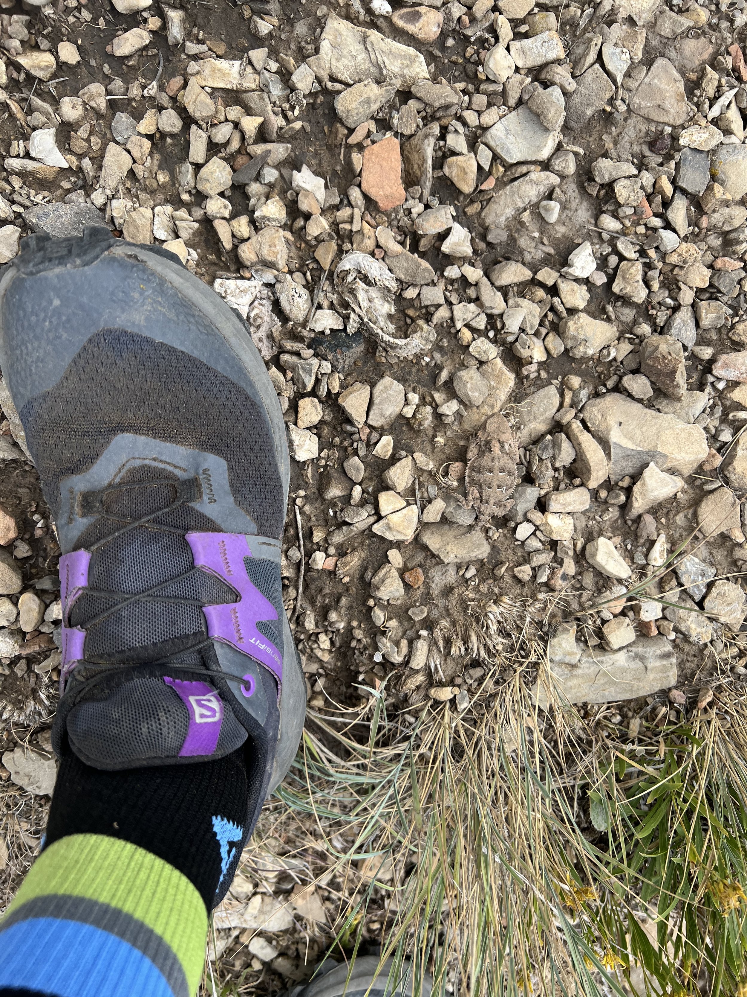
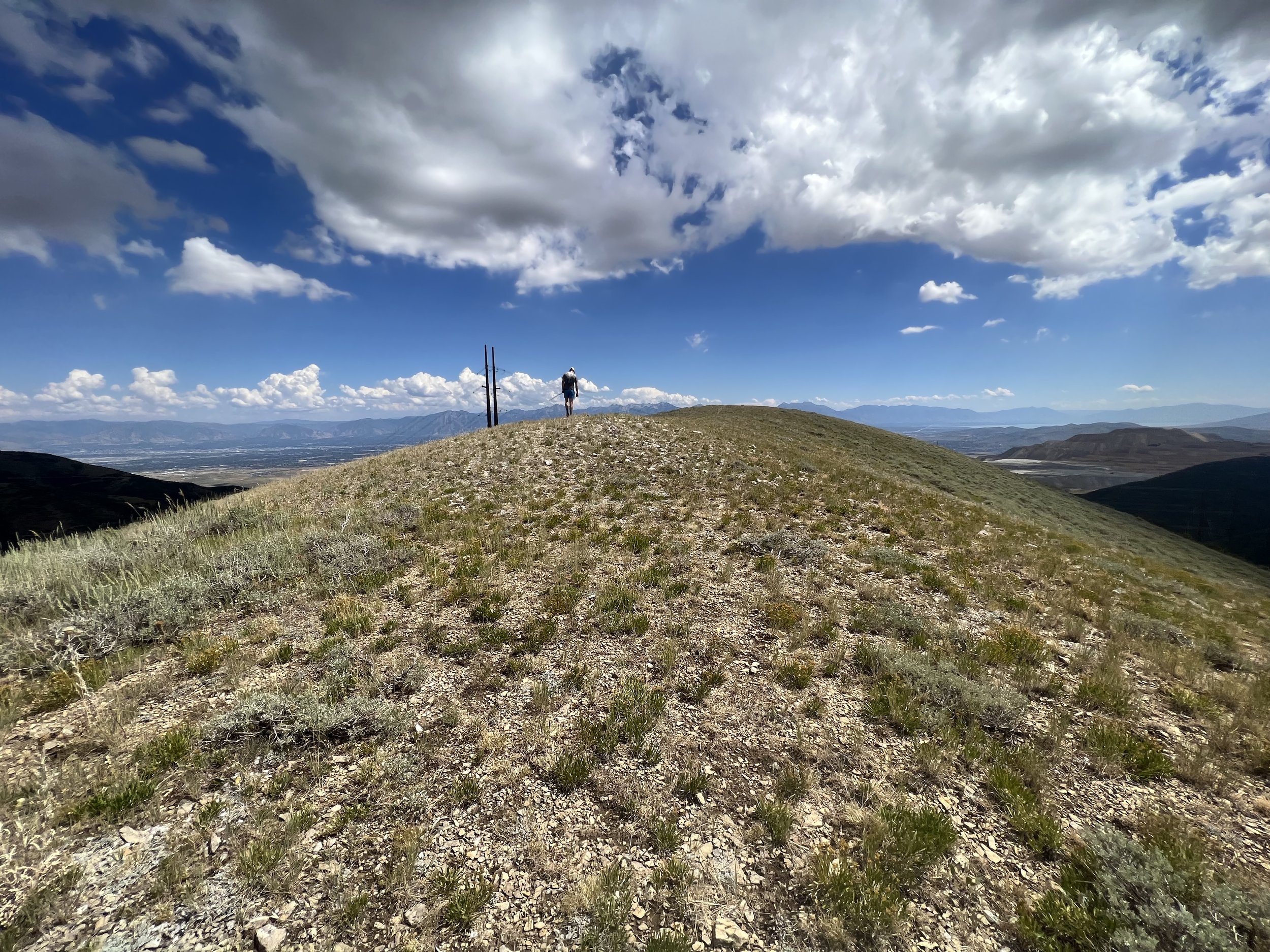
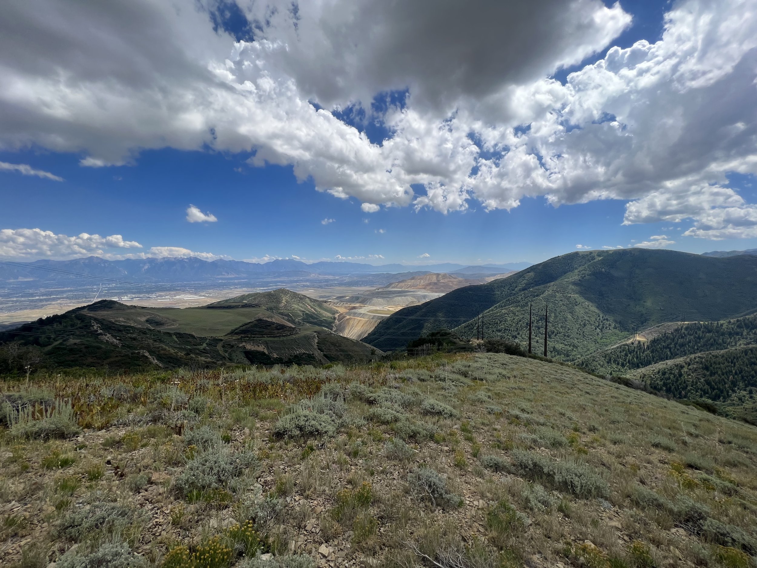
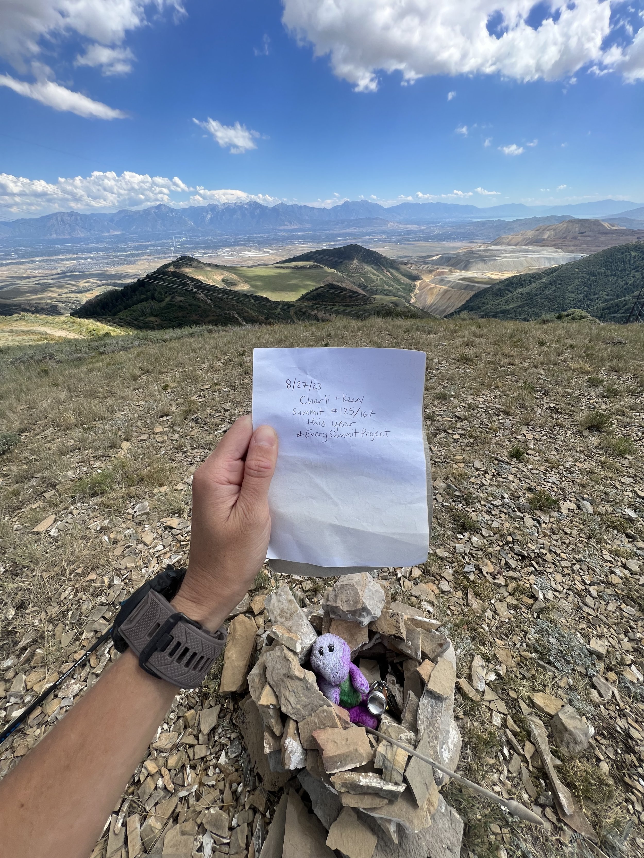
Summit 125 - Barney Peak - August 27, 2023
The last of the Oquirrhs. A bumpy road in, but a relatively easy to follow trail all the way to the summit. Not the most exciting views for the range, but a more friendly one that’s for sure. Including a Barney stuffed animal for, you know, Barney Peak.
Images below: Some strange bunker at the end of the doubletrack, The final switchback with Barney Peak in the distance, A teeny tiny horny toad, The summit of Barney Peak, Looking south at Kennecott, The summit register of Barney Peak, Keenan descending Barney Peak back toward Tooele, The trail down.
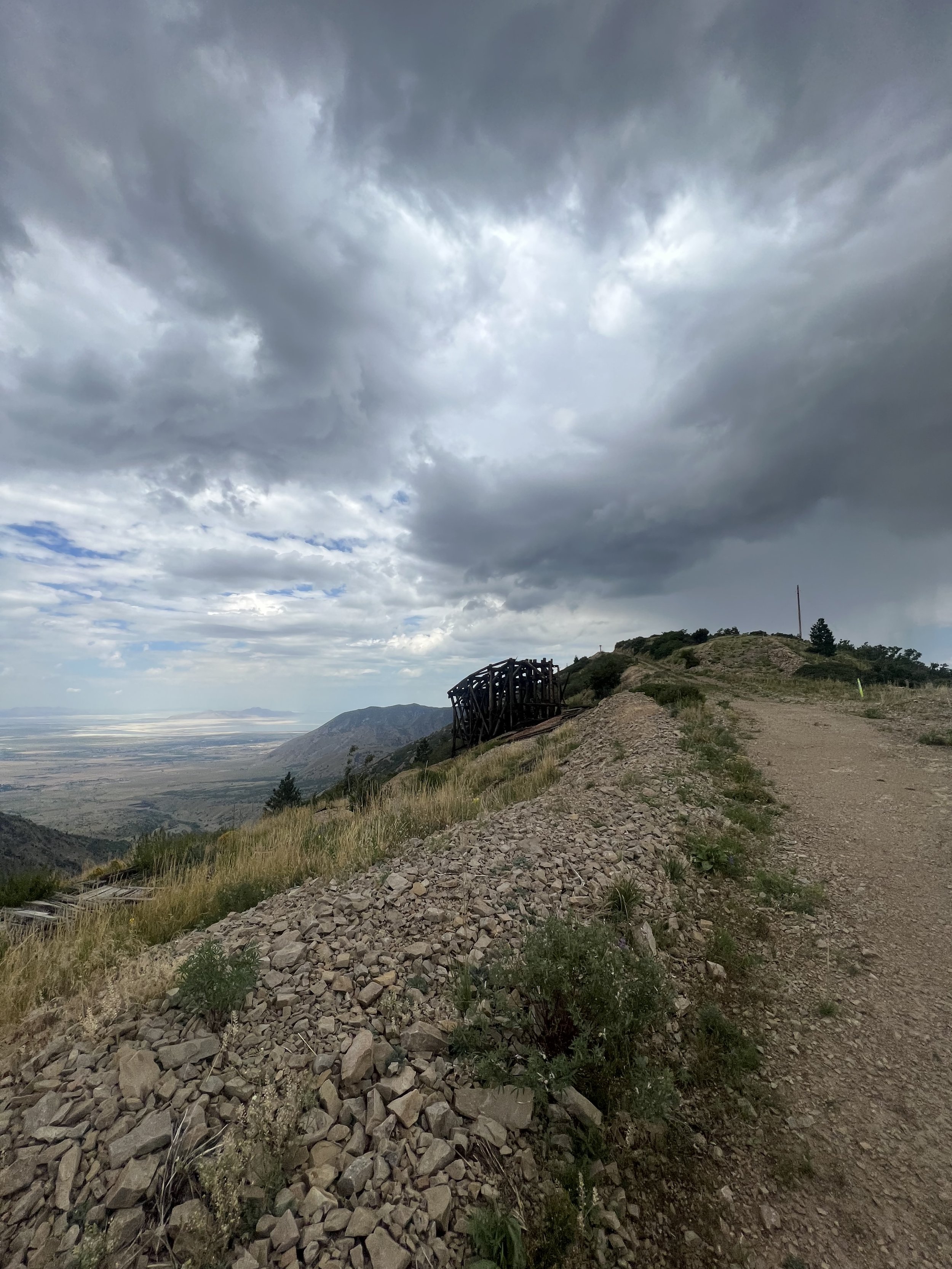
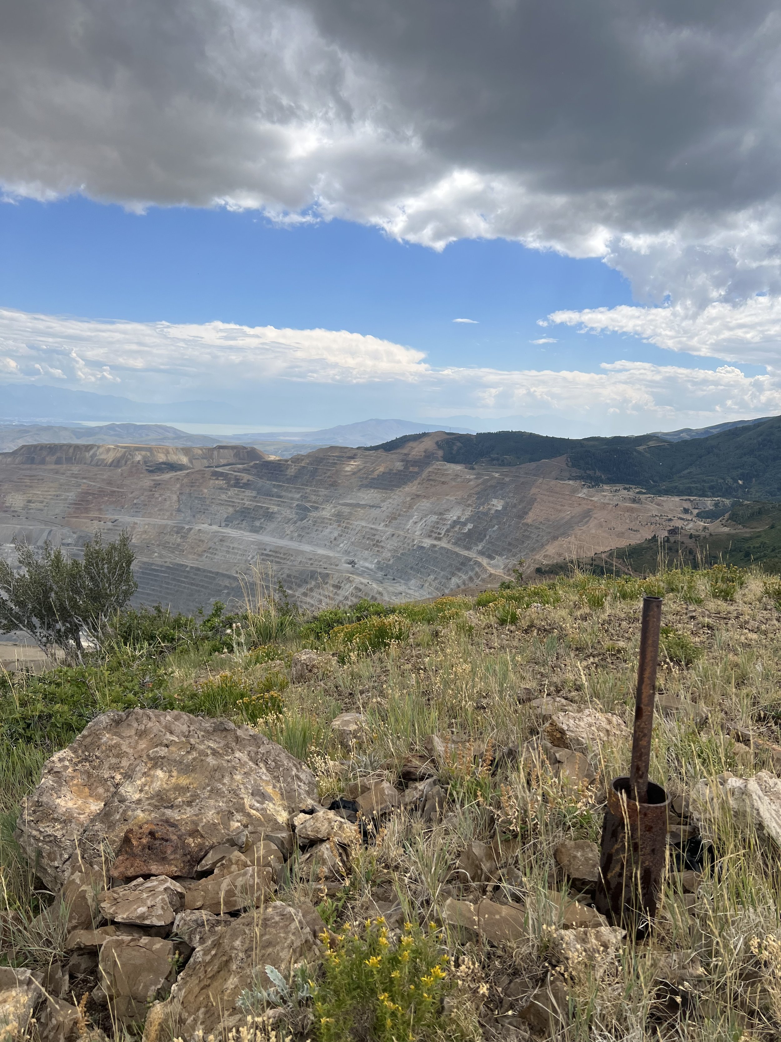
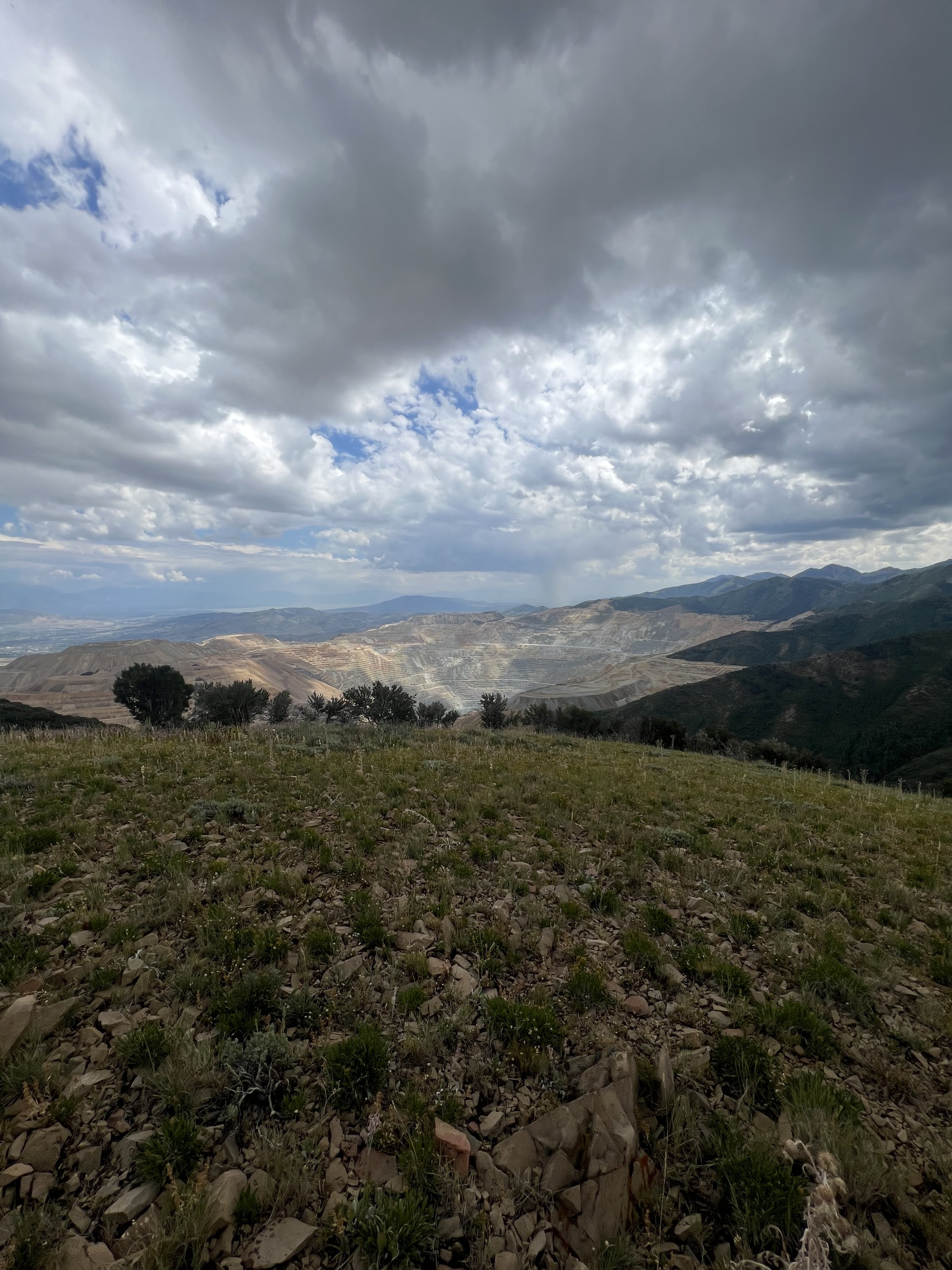
Summit 119-124 - Clipper Peak, Peak 8546, Markham Peak, Peak 8441, Freeman Peak, Peak 8252 - August 26, 2023
An impromptu day starting with a quick tag of Clipper Peak and ending in a cow pasture on the other side of the range. Of course while experiencing some of the scariest weather and terrain of the project so far.
Time it right and the gate to the road is open, making the traverse to Clipper easy. So easy that your partner gives you his running vest with water bottle so you can forge ahead since you didn’t bring yours because you thought it was going to a short outing. But the ridge is right there, and the summits you need to explore are mostly within view. So you accept, and trot on while he turns back to grab the car and meet at a guess of a location for a rendezvous.
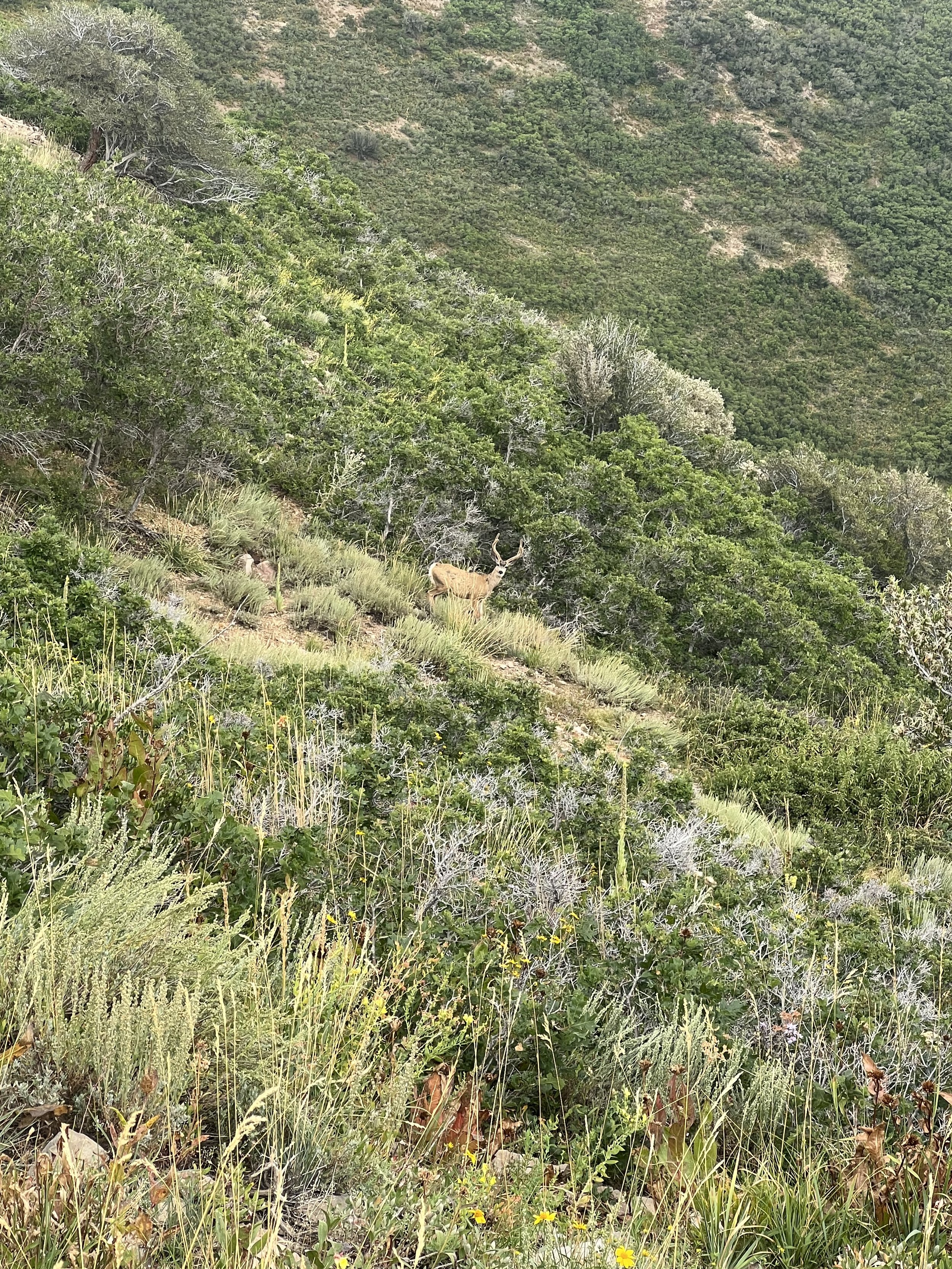
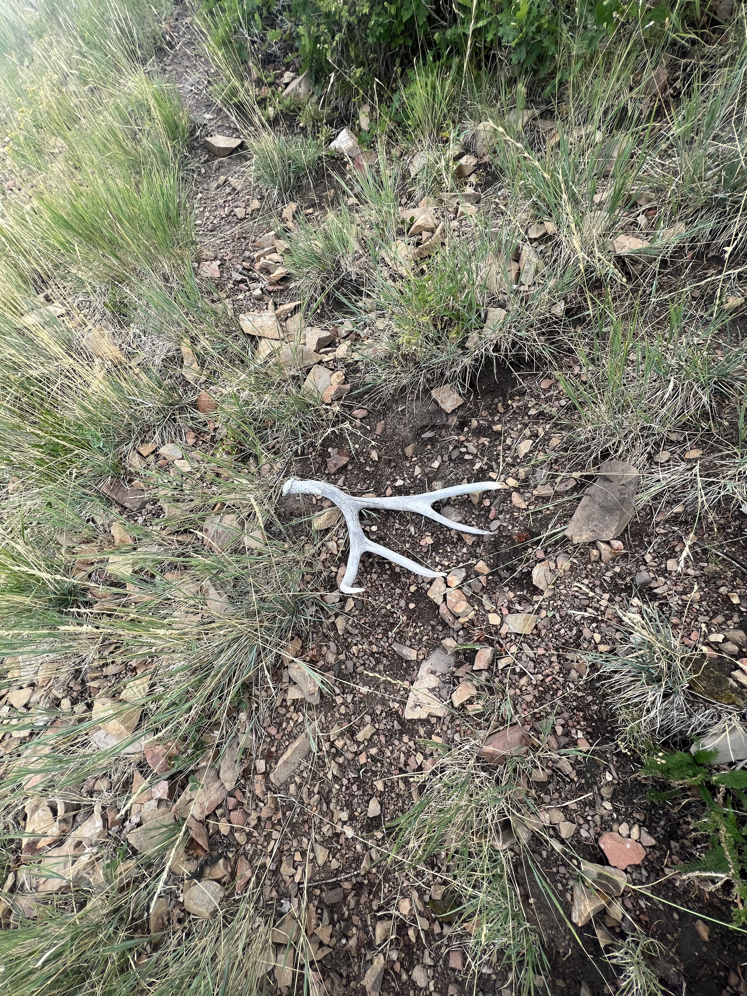
I proceeded along the trailless ridge bagging each summit as they came, somewhat marveling at the ease I was having not getting into too thick of brush, and somehow managing to skirt under the band of dark clouds clapping thunder barely to the south and east of me. I found a few deer beds, encountered at least a dozen young bucks, saw one shed antler on the ground, and made it nearly to the final summit before all hell broke loose.
The shrubs thickened in walls with no options but to press through them. The slope angles on either side of the ridge steepened to an uncomfortable degree, and the sky opened up. Loud cracks of thunder, pouring rain, and a temperature drop all within seconds. The last 30 minutes, covering perhaps .15 miles along a knife ridge decorated with fallen aspens and tangled bushes made for one of the most soul-crushing sections I’ve encountered in this entire project.
As I cleared the last cluster of shrubs, the rain stopped, the sun appeared, and the road I needed to join came into view. It was a rough road, but I was homebound from here. I descended the ridge and ran right through a pasture of cows. I hit pavement and trotted out to the parking area another few miles down. I don’t think this one will be repeated without great agony.
Images below: From the upper lot looking over Kennecott Mine, The Clipper Peak summit structure, Looking north along the ridge, An old tram structure along the ridge, Summit of Peak 8546, A buck (one of dozens), A shed antler, Summit of Markham Peak looking back south, Summit of Peak 8441 looking east toward Freeman Peak, The summit of Freeman Peak looking west at a storm cell that would soon hit me in the worst of the bushwhacking, From the summit of Freeman Peak looking at the northern end of the current Kennecott Mine, The summit of Peak 8252, A cute heard of cows on the road down, An odd pit along the road down.
Summit 118 - Lake Peak (AKA Thunder Mountain) - August 6, 2023
I have loved White Pine since my first trip up to the lake a few years ago. I’ve run that trail enough times to know where my strengths and weaknesses are and in which miles. I still hold the record for fastest ascent and round trip. I’ve stared at Lake Peak with wonder each and every time. We approached the summit via the Lake Chute, a nice long cleft that runs lookers left of the summit from nearly the top to the lake. It was easier than I expected, and the summit was more pleasant than I imagined. We descended the north side scree field, which I would have to urge against. The rocks were unstable and the terrain was more steep than had we just reversed the chute and followed the trail back. Nonetheless, we enjoyed the sunshine, saw a moose, and got to see some new terrain.
Images below: A creek crossing along the White Pine Road, Looking up at Lake Peak from near White Pine Lake, White Pine Lake, Looking up Lake Chute, The Summit register of Lake Peak, Me atop a diving board rock looking north off of Lake Peak, Keen and I on the Lake Peak summit before descending.
Summit 117 - Lone Rock - July 28, 2023
Started this one from the Peak View Trailhead near the top of Corner Canyon. Took the old road around roughly a mile before hitting the singletrack that takes you directly up to Lone Rock. This trail was steep, but compounded in difficulty by the very loose pebbles that made up the surface. It was like walking up a steep hill of sand. Not the easiest, and certainly not with a high afternoon sun beating down on you and there is no airflow. The sun was so hot that my phone in my belt pocket managed to reach a temperature warning. I took my time, making sure not to exert any effort since I’m also supposed to race early in the morning. The views from Lone Rock were nice, but the rock wall itself was much larger that it looked from below. There were numerous bolt lines so I may return in the late fall for a warmer crag day.
The kitty litter slope was much more fun going down. I might repeat this, but not in the summer.
Images below: Screenshot of my phone overheating on the ascent, The first sight of the Lone Rock cliff coming up from the trail, On the way to the true summit along the rocky outcropping, Looking west along the Lone Rock feature, Looking east toward Corner Canyon along the Lone Rock feature.
Summit 116 - Solitude Peak - July 27, 2023
I’ll keep this one short: I much prefer Solitude in the winter. The ski roads are convoluted, the construction is everywhere, and it’s just not that cool looking. Only good view was looking over at Honeycomb Ridge and Wolverine Cirque from the summit, but even these views are more impressive in the winter in my opinion.
Images below: The very pleasant ridge road (joking), The summit tower on Solitude Peak, Looking northeast to the Solitude Resort below, Looking South at Wolverine Cirque in the distance.
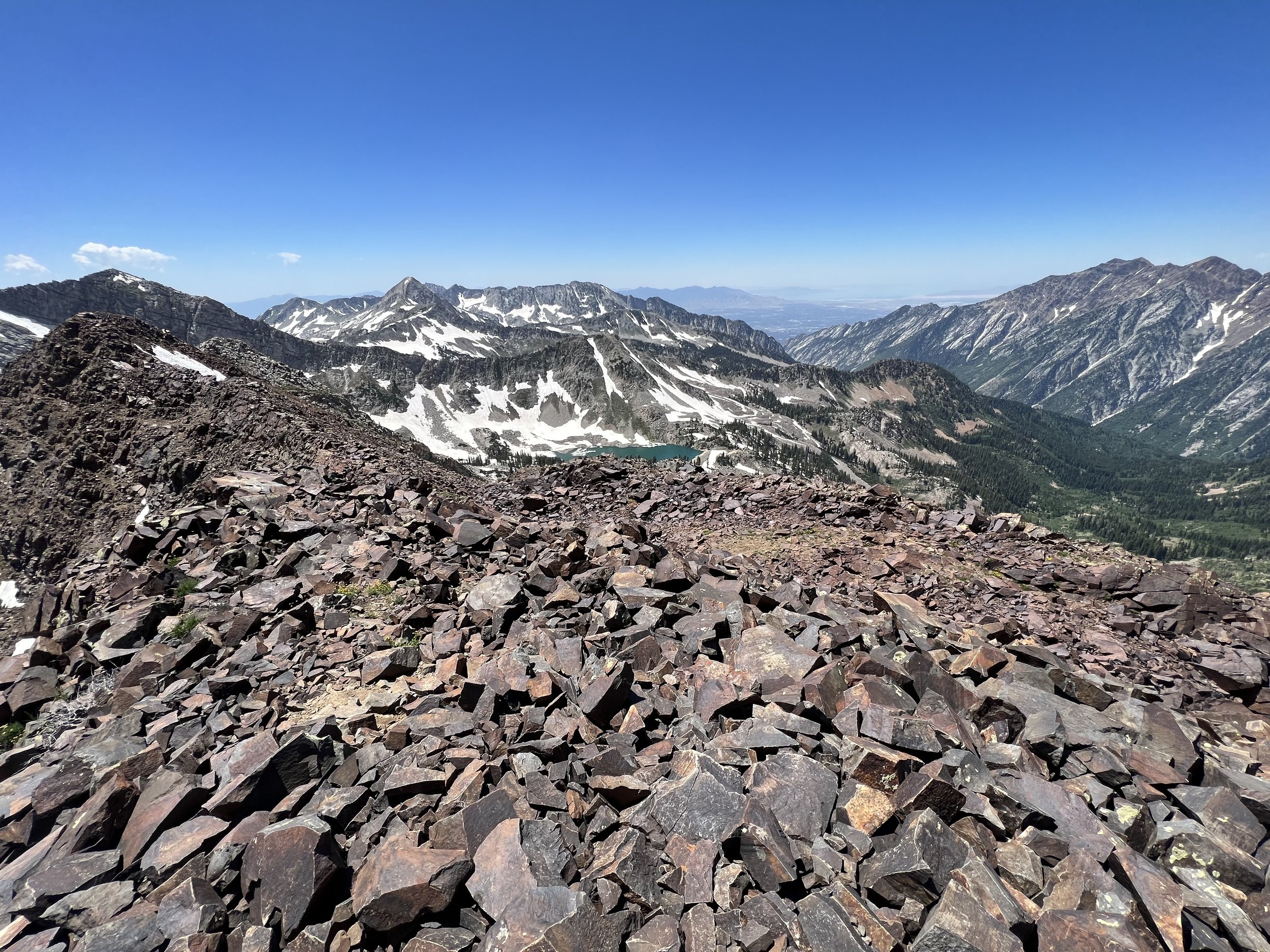
Summit 113-115 - Farnsworth Peak, Kessler Peak (Oquirrhs), Peak 8661 - July 23, 2023
The northern end of the Oquirrh Mountains. This might have been the most itchy I have ever been while running through brushy trails.
The forecast was calling for the hottest day of the year with a heat advisory in place, but I woke up to some overcast skies and decided to just go for it and see what happens. I lucked out with my instincts because it was overcast for about 90% of the run, with a nice breeze! I only brought about 900ml of fluid so I was very happy that the heat would be at bay and I could get this longer effort done without suffering.
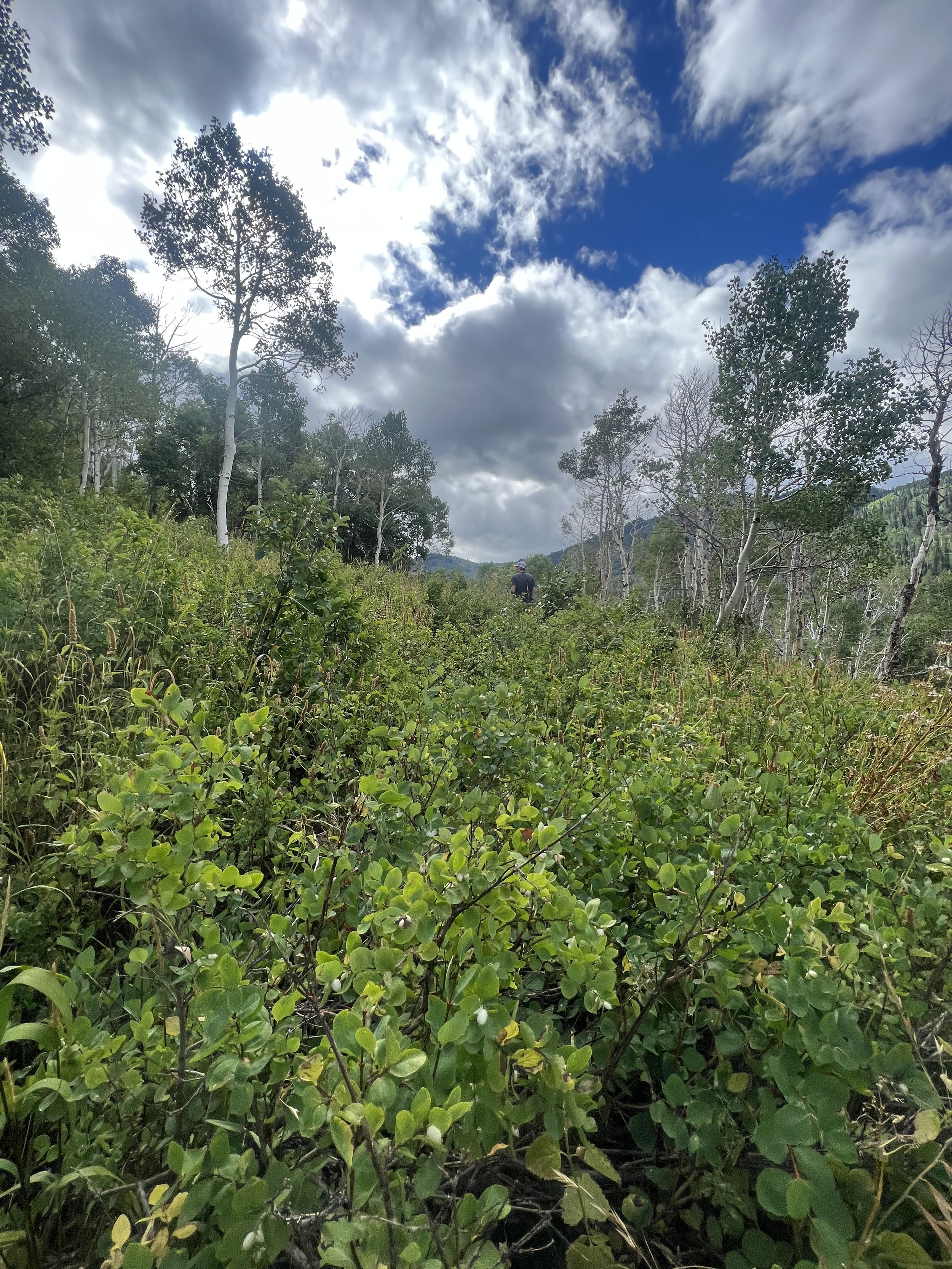
The route starts up a canyon known as Pole Canyon. The trail is pretty technical with rocks and a LOT of tall grass, weeds, bushes, scrub oak, and nettles lining the sides. While I wouldn’t call this bushwhacking because there is an obvious trail to follow, it might be a little on the overgrown side. But even that doesn’t feel like a correct description because again, the trail is visible and minimally obstructed. Perhaps the best way to describe it is to say that it’s very narrow, and the shrubbery is unavoidable. My skin was in agony once I broke through the ridge at the top to the dirt road, and even along parts of the old road (after Farnsworth to Kessler and continuing to Peak 8661), the tall brush made the adventure horribly itchy.
The road to Farnsworth is quite the nice dirt road. Not too steep, very well maintained, and not technical at all.
Farnsworth Peak itself is impressive. The towers are huge, and the structures are complimentary in size. I didn’t stick around long enough to get a good look since I believe approaching the true summit is trespassing. So I made sure to tag the highpoint and flip right around to get back down to the road that is fair game for public passage.
The road becomes much more technical after Farnsworth Peak. It drops to the saddle below with a steeper grade, rocks that are annoyingly sized that make both the down and return up a slow going nightmare. And of course, as I previously mentioned, the tall grasses and weeds return making the already sensitive skin light up with sensation again. I moved as well as I could down, hit the saddle, and started to hike up the steep and technical road to Kessler. It occurred to me here that I don’t think this “road” gets any traffic. It’s too hard to do more than a slow hike on, let alone drive anything through the tall bushes and sub-optimal babyhead rocks. I was depleting in joy with every whack of a weed against my legs.
In short time, however, I arrived at the summit of Kessler Peak and got my first look at Peak 8661 to the north. It looked farther away than I wanted, but I knew it couldn’t be that bad. I took the direct ridge to the west off of Kessler Peak to meet the road again and not doubleback over the last few switchbacks. Then I proceeded to take the last bit of not-road road to Peak 8661. The views from the summit were delightful. You can see both sides of end of the range, with a big blue lake taking up most of the frame to the north. I kept the summit visit short and started back down the crumby road knowing I had a lot of discomfort ahead.
The climb back up to Farnsworth Peak was definitely the crux as the grade steepens and the rocks and shrubs make it feel like it’ll never end. Once at the top though, I was looking forward to the shrubless dirt road and let my stride open up a bit. I was hoping to make up some time here. Once I hit the lower ridge, I readied myself for the itching to begin again, and gave myself a time limit to get down: 45 minutes.
I started the descent casually, fumbling around with snacks I didn’t eat and my phone. Then settled in to a reasonable speed making sure to spot the nettles this time before blindly running through them. 3 miles of skin irritation at it’s finest, and then I was done.
I’m really happy to have completed this one and see the sights along the northern end of the Oquirrh Mountains, but I don’t think I’ll return to these ones. The red bumps on my legs that are still present after showering, are definitely not worth it!
Images below: The brushy canyon trail, Along the dirt road looking up at Farnsworth Peak, The summit of Farnsworth Peak with the massive towers, Looking north toward Kessler Peak in the distance, A view from the summit of Kessler Peak looking at the Great Salt Lake and Tooele, The view from the summit of Peak 8661 looking northeast at Antelope Island, The structure atop of Peak 8661 with Kessler Peak peeking out from behind, The top of the canyon trail looking down canyon.
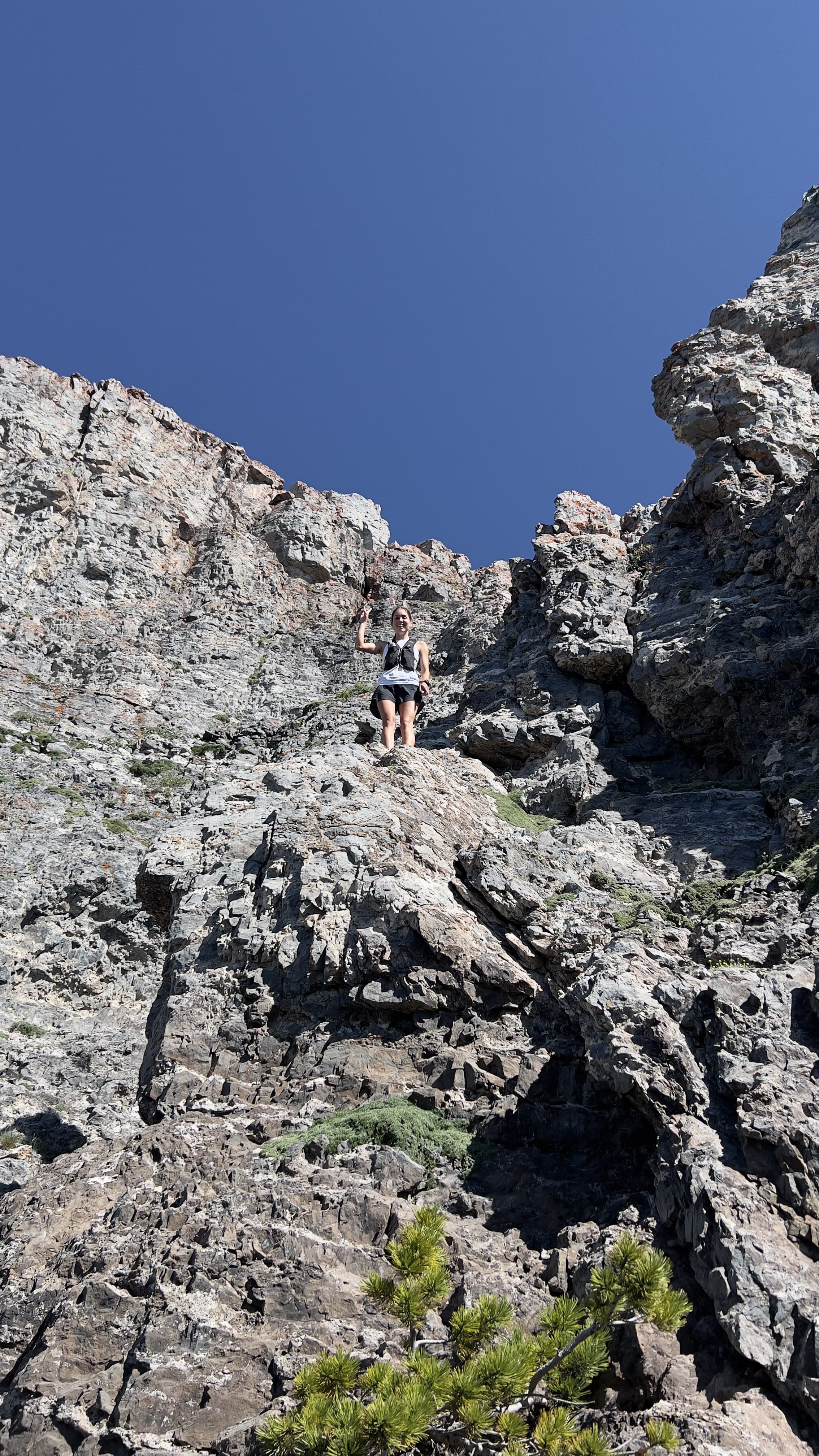
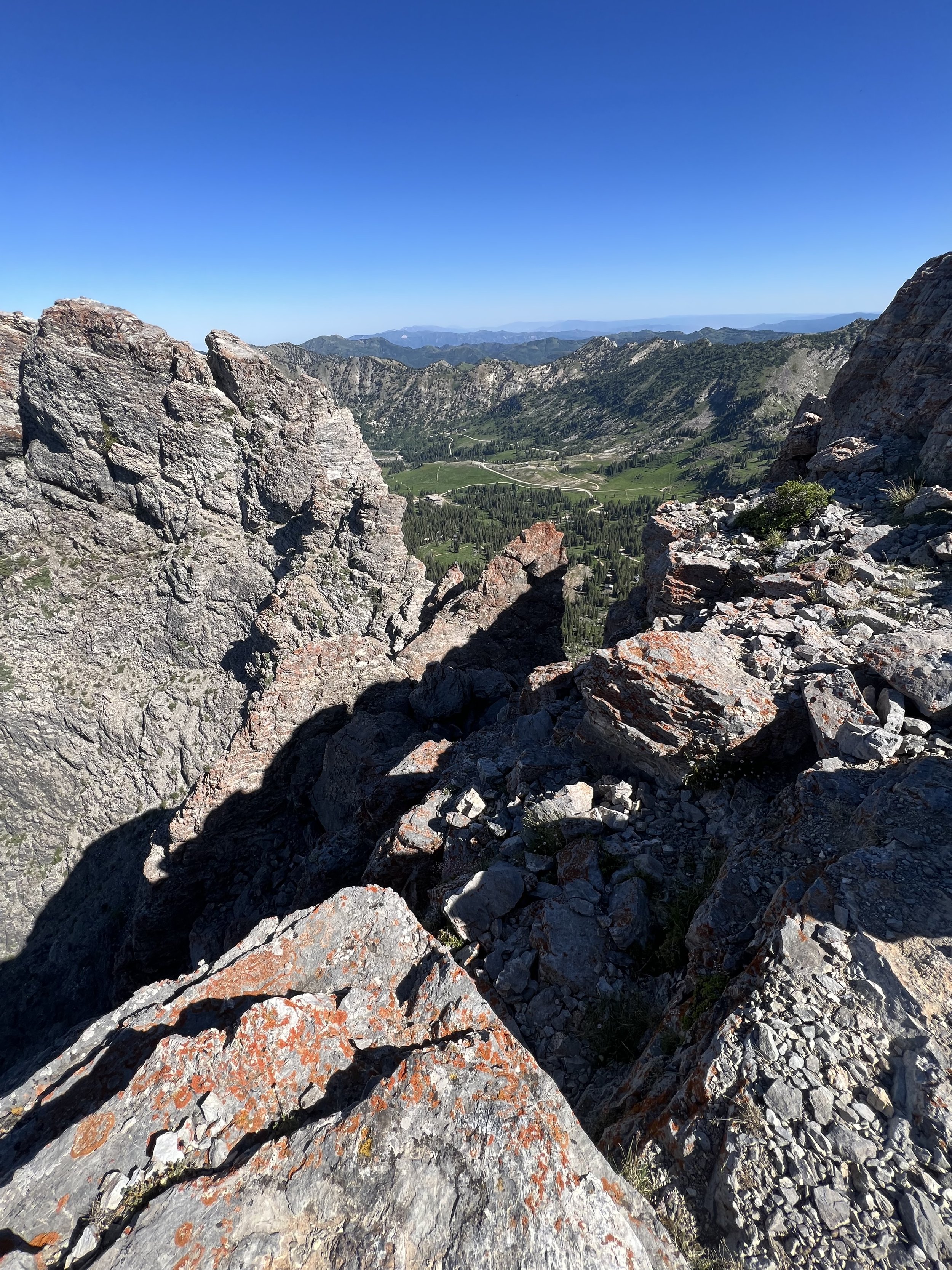
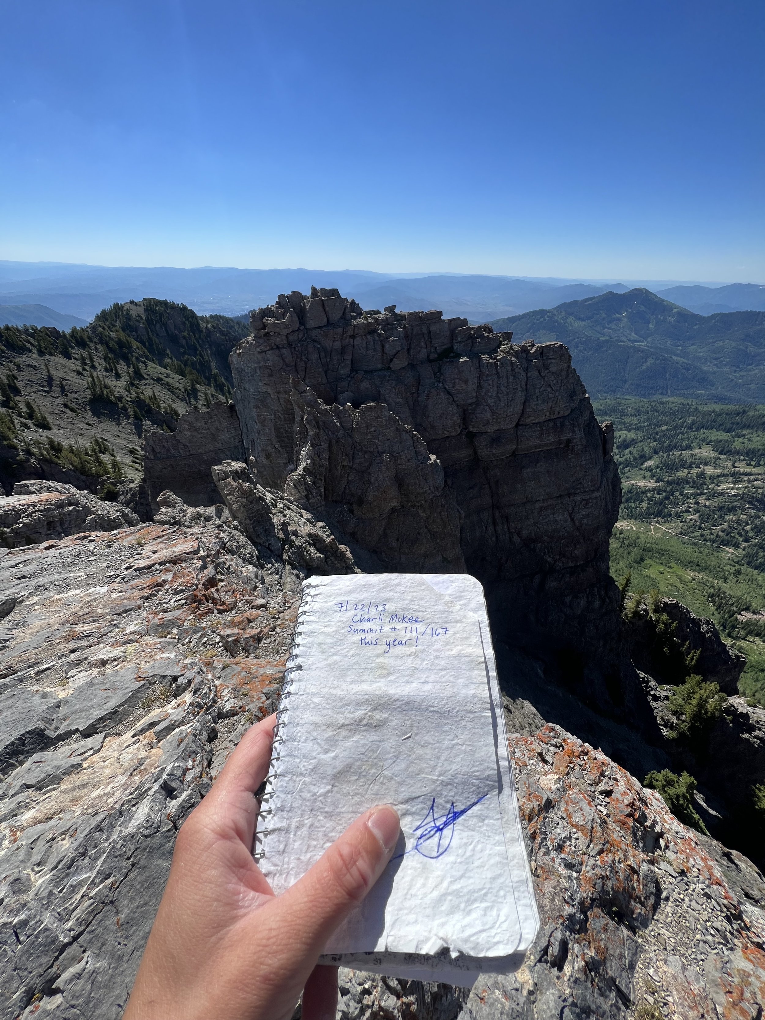
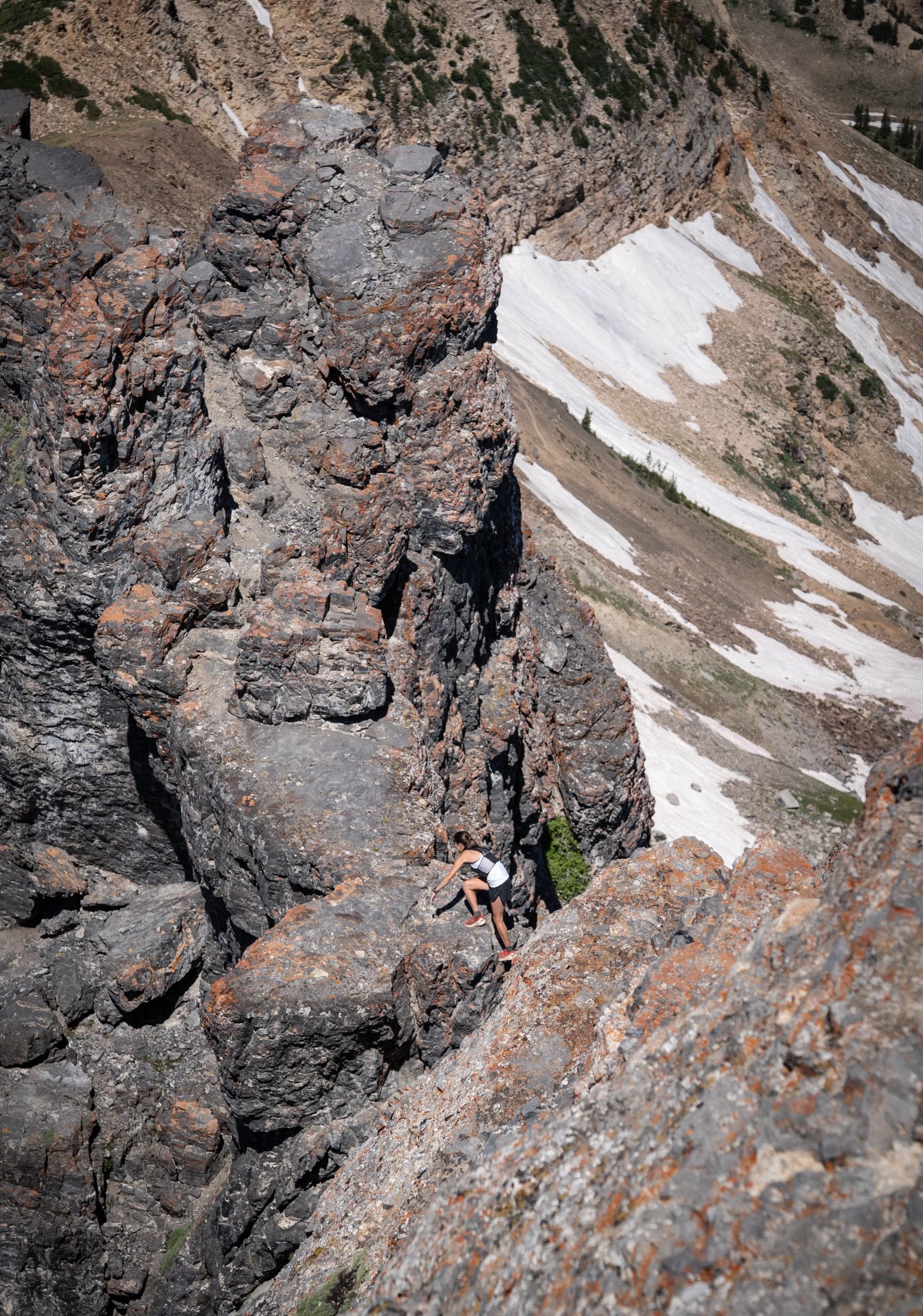
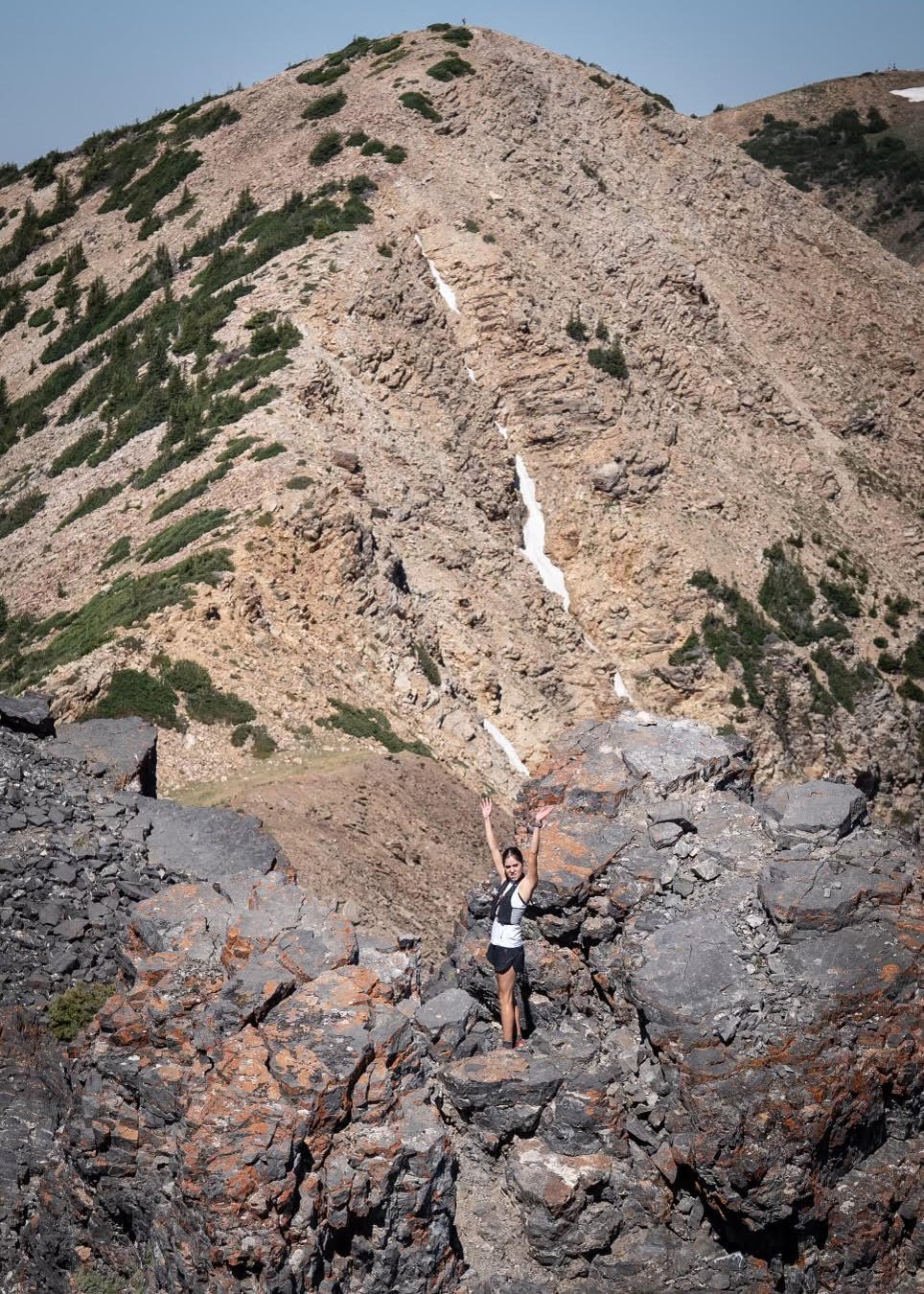
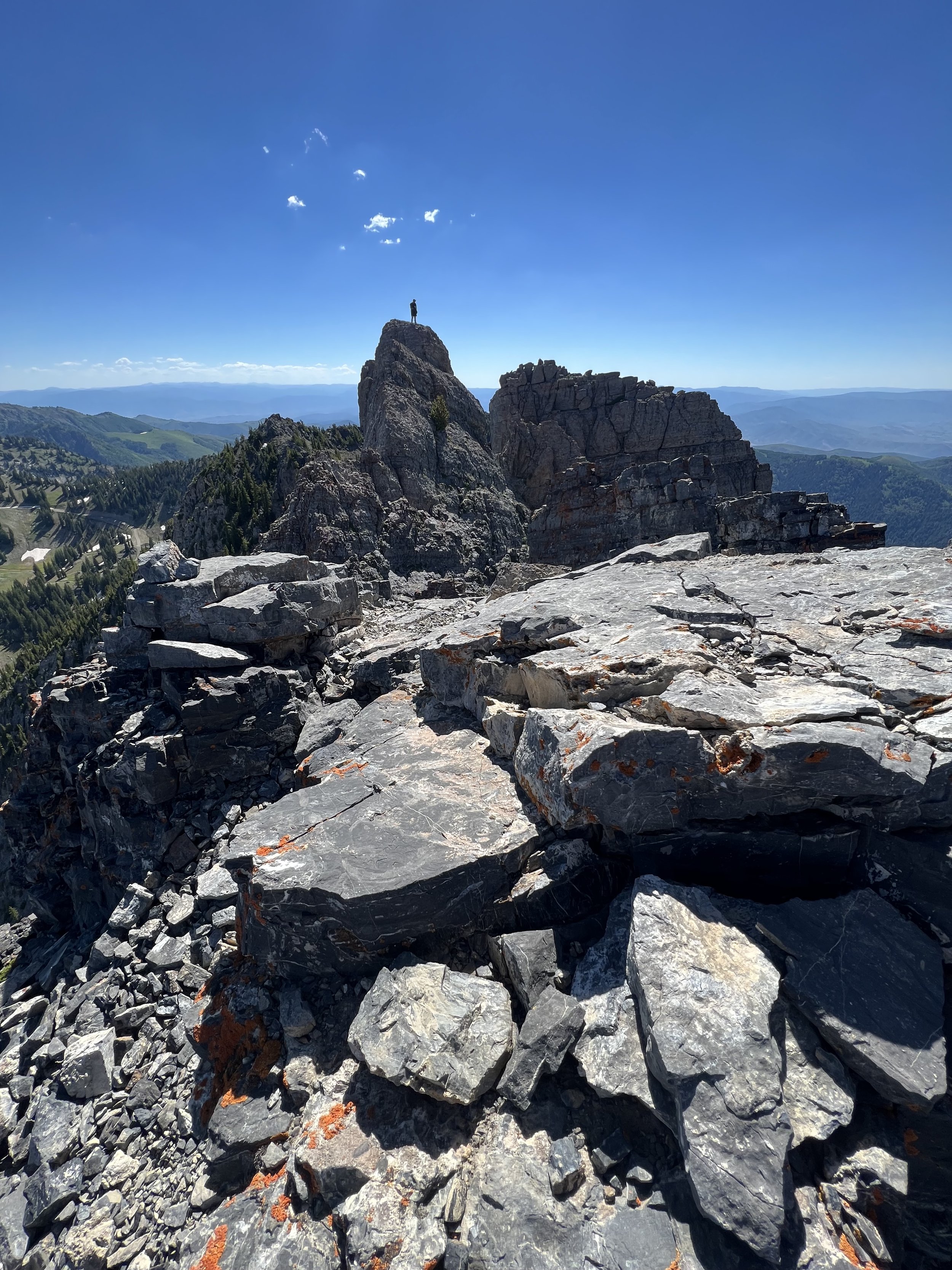
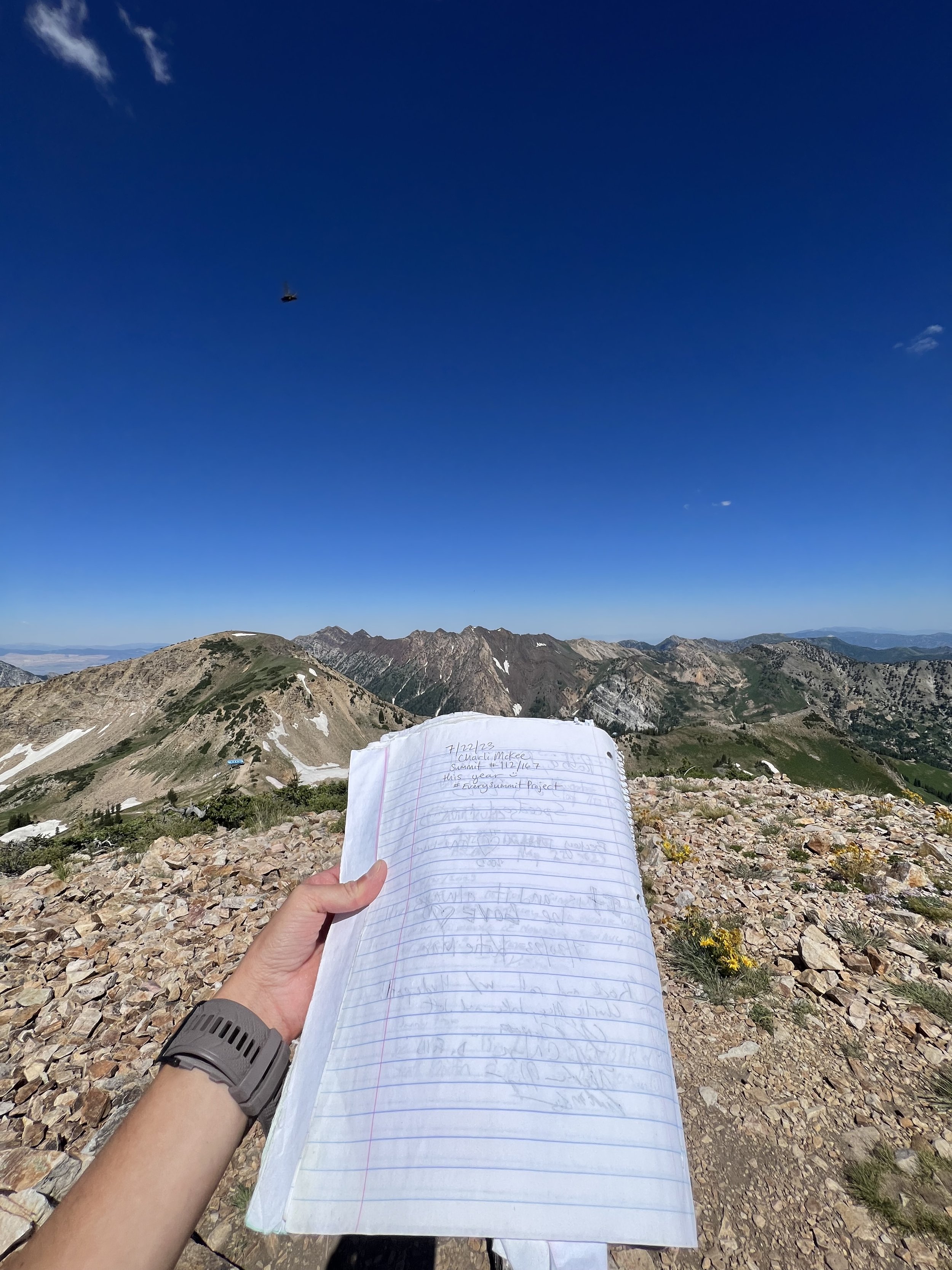
Summit 108-112 - Point Supreme 1, Point Supreme 2, East Castle, Devil’s Castle, Sugarloaf Mountain - July 22, 2023
What a day, what a route!
Started early to avoid the heat and headed up the trail toward Catherine’s Pass. Met up with Zeb there and continued along the ridge to tag Point Supreme 1 & 2 (they flank the Supreme lift hence their names). We passed some normal looking hikers who were looking for Cecret Lake and decided to try the ridge route… We started the scramble, moving fairly easy and enjoying the technical route. I took the direct ridge to tag East Castle, and noticed the hikers behind us had decided to turn around after the scramble got a bit more exposed. Zeb continued along the sorta trail below East Castle and we connect again at the notch in Devil’s Castle where the more vertical climbing starts. We went up the face, dipping into the gully for slightly more trusted rock. The top of the feature was quite cool, and you could look across a boulder-filled knife ridge to the true summit of Devil’s Castle. We did some of the harder moves here, downclimbing and stepping across consequential gaps. Not too hard, but exposed for sure. We picked our way across, and eventually hit the summit of Devil’s Castle where we ate a snack and signed the summit log. We pressed on as it was starting to warm up and the dark rock was not the most comfortable place to be for the weather.
The scrambling was much easier heading down and eventually dissolved back into a trail. I took the left fork up to tag Sugarloaf while Zeb continued right to head down toward Cecret Lake. I signed the log up top, and quickly headed down and around to avoid the hikers who were in numbers on this side of the cirque. I got to glissade down one of the slopes and then hooked the trail around to meet up with Zeb. We continued along the ski road all the way back to the parking area.
Images below: Nearing Catherine’s Pass with a little morning glow, The summit of Point Supreme 1 looking at the namesake lift below, Photo taken by Zeb of me gleefully running down the trail, The summit of Point Supreme 2 with Zeb, The red rock summit of East Castle looking toward Devil’s Castle, Yours truly on the scramble, Looking across the technical ridge that we traverse, Summit journal of Devil’s Castle, Two more pics taken by Zeb of me scrambling along the ridge, Looking back at Zeb atop Devil’s Castle, The summit journal of Sugarloaf Mountain with Alta below.
Summit 107 - Mount Evergreen - July 21, 2023
Figured I could tack this one on to the outing while I was already putting in that much effort up at Brighton. I started at the Millie Express lift area and took the ski road up to the reservoir, then hooked right around and ascended to the saddle. From there, it’s a steep, but very short little ridge trail to tag Mount Evergreen. I was somewhat surprised with how nice this one was. Some gnarled old trees top the summit and there are some views of the surrounding summits peeking through the trees. I’ll definitely repeat this one.
Images below: From the summit looking at one of the old trees standing atop the ridge, From the summit of Mount Evergreen looking back to Mount Millicent and Mount Wolverine, The Wolverine Cirque taken from the saddle.
Summit 105&106 - Peak 10420 and Clayton Peak - July 21, 2023
It looks simple, but this one requires a little extra work. Since you cannot park at Guardsman Pass, I had to park lower down the mountain and bike up to the pass, so I suppose if there’s any contest to how I summited Guardsman Pass as an out and back, now there’s additional man powered proof. I locked my bike to a post, and enjoyed the short, but steep out and back to tag both Peak 10420 (also called “Mount Venture”) and Clayton Peak. Then biked back to my car.
Bike Strava back from Guardsman
Images below: The first false summit of Peak 10420, The summit of Peak 10420 looking out to Clayton Peak, The summit of Clayton Peak looking back at Peak 10420, From the summit of Clayton Peak looking east over the Brighton Cirque.
Summit 104 - Rainbow Peak - July 20, 2023
This lil’ summit was everything I had hoped for.
I should start by saying that this is not a summer route. In fact, I believe the only traffic for this is exclusively in the winter. There is no trail. I do not recommend an attempt unless you’re experienced with bushwhacking and scrambling.
I made my way to the ridge via the White Pine Road, and Red Pine fork trail. Once i reached the Wilderness sign, I took a hard left into the bushes and started bushwhacking my way up the ridge. I found the lower section to be somewhat steep, and certainly the most dense. Once I got a good little ways up, the shrubs opened up a bit and I could pick a reasonably okay line along the true ridge with only some resistance. About halfway up, the ridge becomes rocky and careful footing is required as the rocks embedded in the ground are loose and sitting in soft dirt. There is a steep rock scramble that I approached on the right side with some mild exposure, and even more loose rock. I proceeded with caution, trundling only smaller blocks that could be easily moved for safer return passage. This rocky ridge continues to the true summit where you get 360 views of Hogum Fork, the Little Cottonwood Ridge, and White Pine. I certainly enjoyed this view more than I was expecting. I flipped my route and worked cautiously back down to the Red Pine Trail, and out the way I came.
Images below: A moderate section of bushwhacking, The rocky terrain with the steep section in view, The view from the summit looking toward the Little Cottonwood ridge, Hogum Divide.
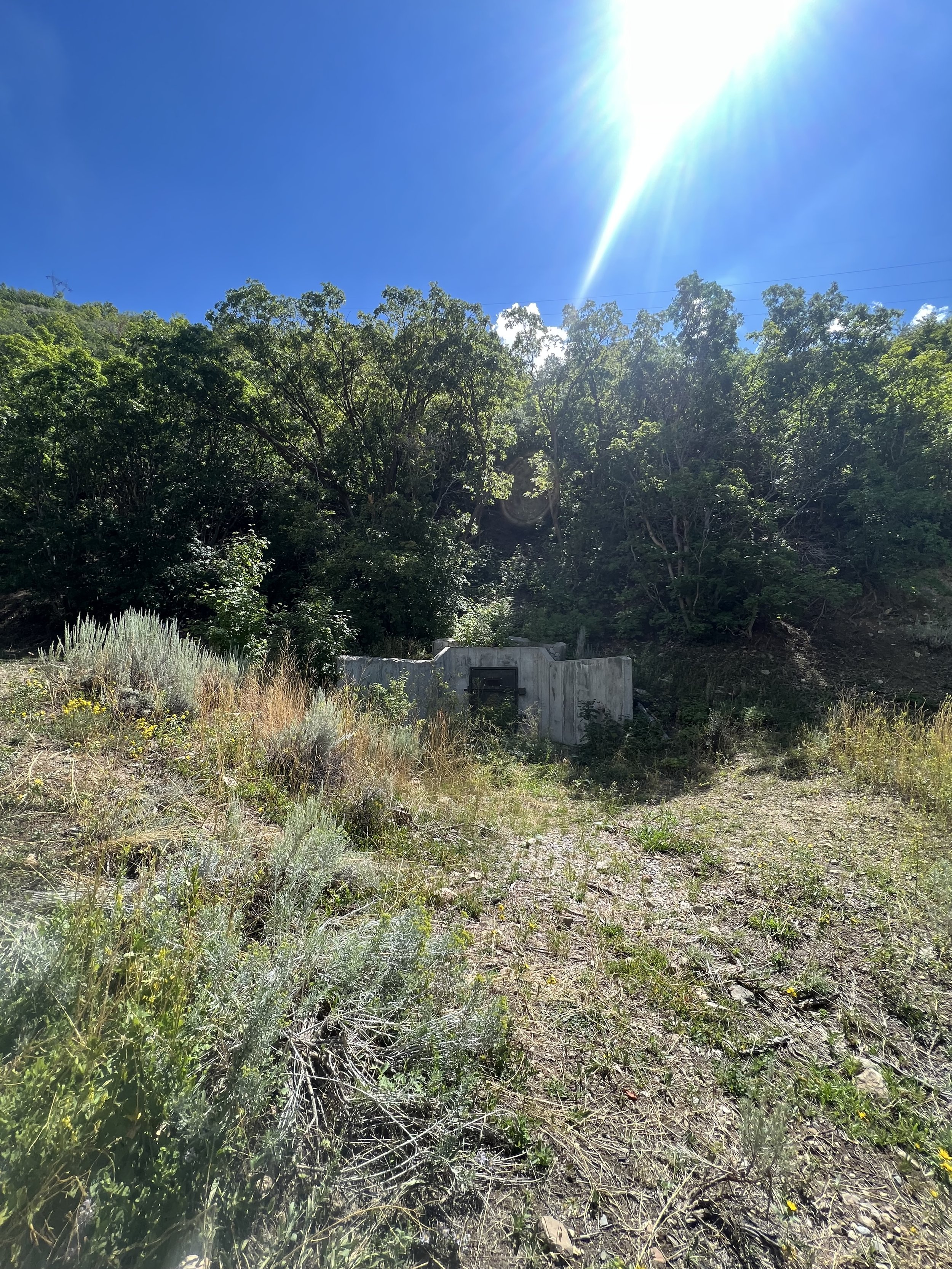
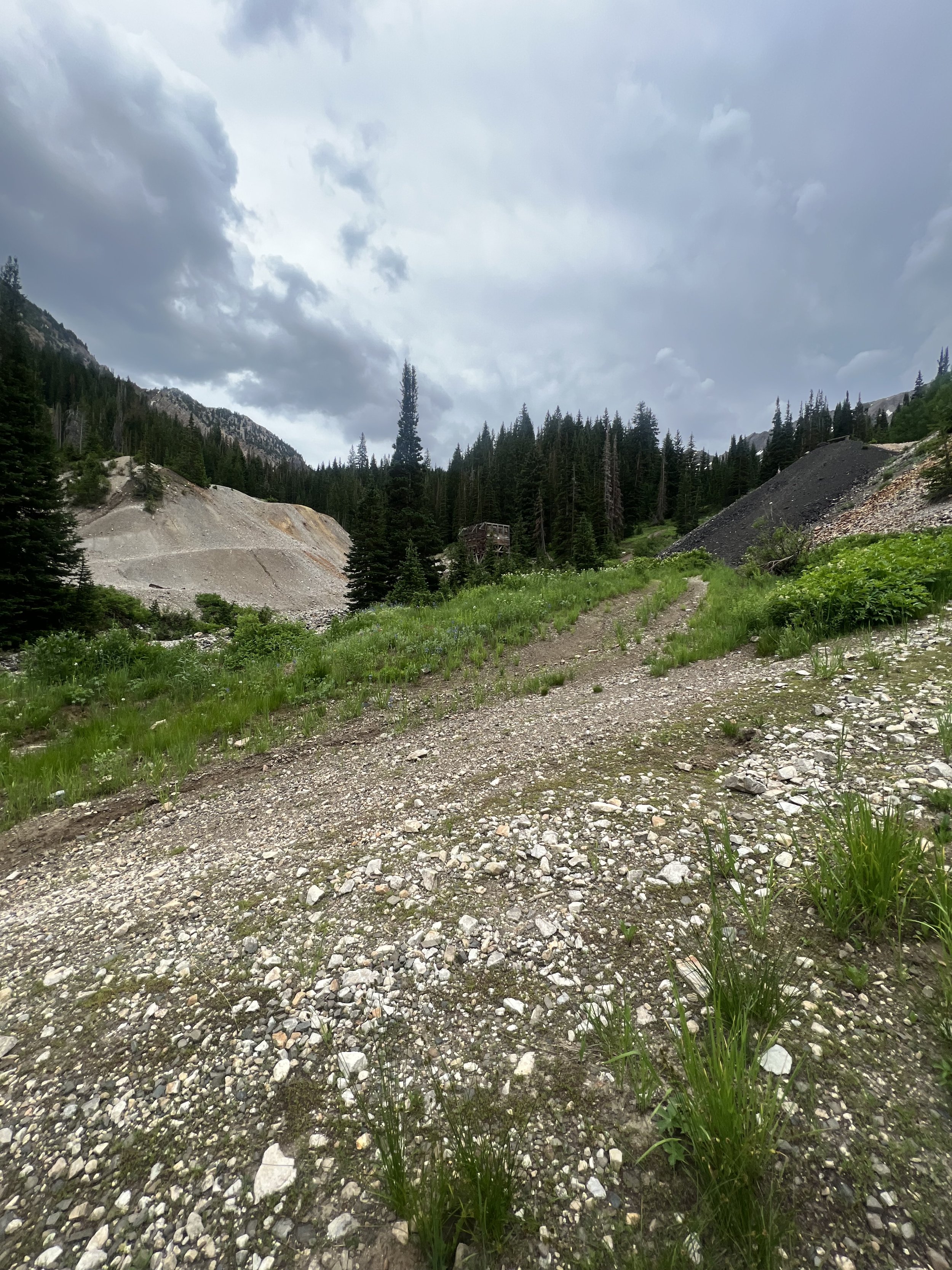
Summit 103 - Montreal Hill - July 19, 2023
Warning: this route crosses through private property, please understand the regulations around road usage for Cardiff Fork before attempting.
As some Salt Lake residents might know, mostly backcountry skiers who frequent the Cardiff Fork area in the winter, this canyon is an ongoing battle for access between the USFS and private land owners. There are private property claims along this canyon’s road, as well as throughout the upper section of hillsides. However, there is also extensive forrest land that is free to use. The property owners insist on building their own barricades on the road to prevent any access whatsoever. This is the illegal part. The road must remain accessible to the public, but visitors cannot trespass into the private land. As you can imagine, that is hard to regulate. Knowing where the boundaries are is your first step prior to accessing this zone, then understanding your rights as a user of forested land is your next step. Stay on the road, and only veer from it when you are within the forrest land. Not all of that land is marked, but a lot of the private property is. Keep in mind, the road passes through private parcels, but as long as you are on the road, it is legal. Some additional roads will fork off of this main road, those are not public. The old mine is entirely off the main road so visitation is trespassing. I did not visit, only took a photo from the road.
Montreal Hill is a hill, unassuming, but boasting great views of the surrounding canyon. It sits within a small parcel of USFS land and I made sure to check my boundary map prior to attempting this to ensure the access was possible.
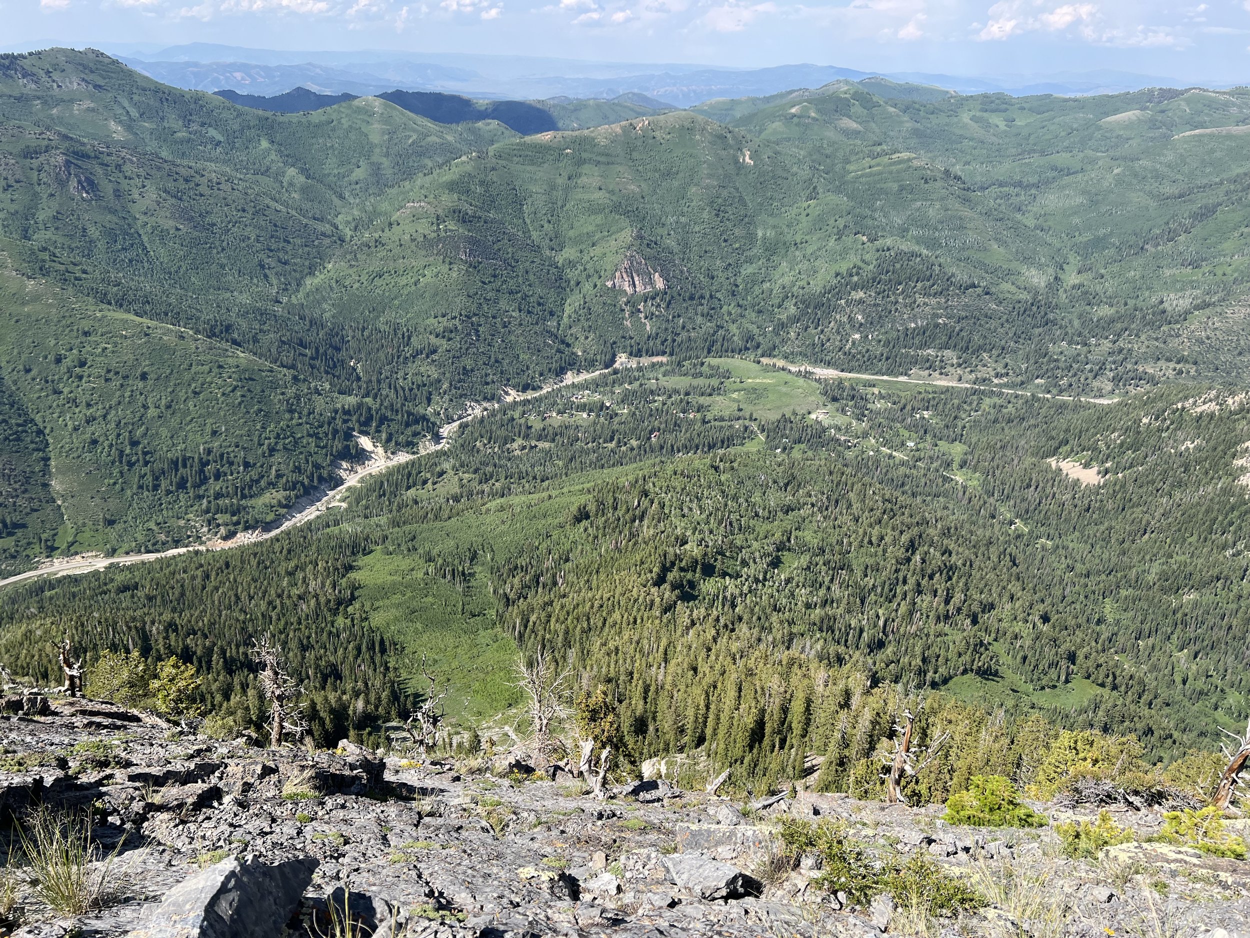
Images below: Near the upper canyon looking south, Looking at the old mine from the road, Atop the summit of Montreal Hill looking across the canyon to Benson & Hedges ski couloir, From the summit of Montreal Hill looking north at Carbonate Pass and Kessler ridge in the distance, The USFS marker, Some colorful water draining presumably out of the mine into the water that becomes part of the watershed.
Summit 102 - Black Bees Peak - July 18, 2023
Went for the quick hit thinking the heat would be rough, but it was 70 degrees with a breeze and overcast. Started from the upper lot at Alta and ran the summer road up to the singletrack. I guess I paused my watch when I stopped to pee and forgot to restart it so I’m missing about .7 miles and some vert from the start, but oh well.
The trail up Grizzly Gulch is quite short and rather rocky. Where the trail forks there is a more direct route up on the right but it is a flowing river currently, while the left fork is a punchy rock gully. Take your pick, but remember if you choose the Rock Gully for the return, not to miss the fork back to the summer road or else you’ll end up taking the long way around Chad’s Gap.
Anyhow, the saddle was nice as always, and the climb to Black Bees Peak was a little steeper than I expected, but good thing it’s short. I enjoyed the summit to myself before heading back down the trail where I would get rained on a little and roll my previously broken ankle. Not my best day, but a very nice little summit. I’ll likely return to this one someday.
Images below: The summit marker atop Black Bees Peak with Mount Millicent in the background, Yours truly with Grizzly Gulch behind me.
Summit 96-101 - Mount Millicent, Mount Wolverine, Mount Tuscarora, Sunset Peak, Pioneer Peak, and Preston Peak - July 16, 2023
What a great day.
I changed plans late the night prior in order to bag this route and jump over the 100 summit mark. I lost some sleep due to excitement, but apart from a little slowing down, I had no issues with this fun one!
I started at Brighton Ski resort, climbed the ski road toward Mount Millicent, and then up the steep boulder field to the summit. I enjoyed this one a lot since it was short and quite friendly in ability. I signed the log, then continued along the trail that works up the ridge a bit. I cut off of the trail on the lower slope of Mount Wolverine so I could keep the route as a loop vs. doing an out and back from where the trail meets the saddle. There was still a bit of snow left in this section, but nothing you couldn’t kick steps in or bypass on the edges.
Mount Wolverine boasted some great views so I enjoyed that for a moment, before sending the short saddle to Mount Tuscarora. From the summit of Mount Tuscarora, you can see the iconic Catherine’s Pass below, and throngs of hikers taking in the sights from the saddle. I recorded a video, and then bopped down the steeper trail to the saddle, blazed right on through the hikers and up to Sunset Peak. Again, excellent views of the same cirque, but from a different vantage point.
The trail from Sunset to Pioneer is much more technical and steep, but it’s short and over before you know it.
Pioneer Peak marked 100 summits in the project so far. I couldn’t hang out for very long, as there was another summit left to do, and I had a feeling it would be more isolated. I continued along the ridge trail, even dancing a little as I was so elated to be having fun in the mountains. I picked my way up through snow patches and steeper slopes to reach the summit of Preston Peak. This is certainly a lesser visited summit than it’s predecessors, but it meant there were no other hikers, and I could enjoy the emotions I was feeling in peace. I snapped a view pics, and then headed back down to the saddle where I took the ski road out to the parking area. All in all, one of the best loops in the Salt Lake City area. Short with some excellent bang for your buck.
Images below: The summit log on Mount Millicent, The view from Mount Wolverine looking down at Mount Millicent, The view from Sunset Peak looking back toward Catherine’s Pass and Mount Wolverine on the distant right, The summit cairn on Pioneer Peak, The summit of Preston Peak looking back to Pioneer, Me celebrating 101 summits, Some cute lil’ flowers.
Summit 95 - Church Fork Peak - July 15, 2023
This one… I’ll keep this one brief because I don’t think it’s a summit worth much attention unless you’re attempting a project of this nature. I took Pipeline trail from the Mt. Aire lot down to the fork with the Burch Hollow trail. Burch Hollow is moderate in steepness but on par for Millcreek trails. However, it seems to get little to no trail work so it is in a state of overgrowth which made it a lot slower than I expected. There is a neat, unknown rock formation at the top with some bolted chains. I looked on Mountain Project, but found no record of this crag. It seems it would hot in the summer, and quite a pain to access in the winter since the road is gated and the trail is long and steep for a few routes. This might explain why there are no posted details on the internet.
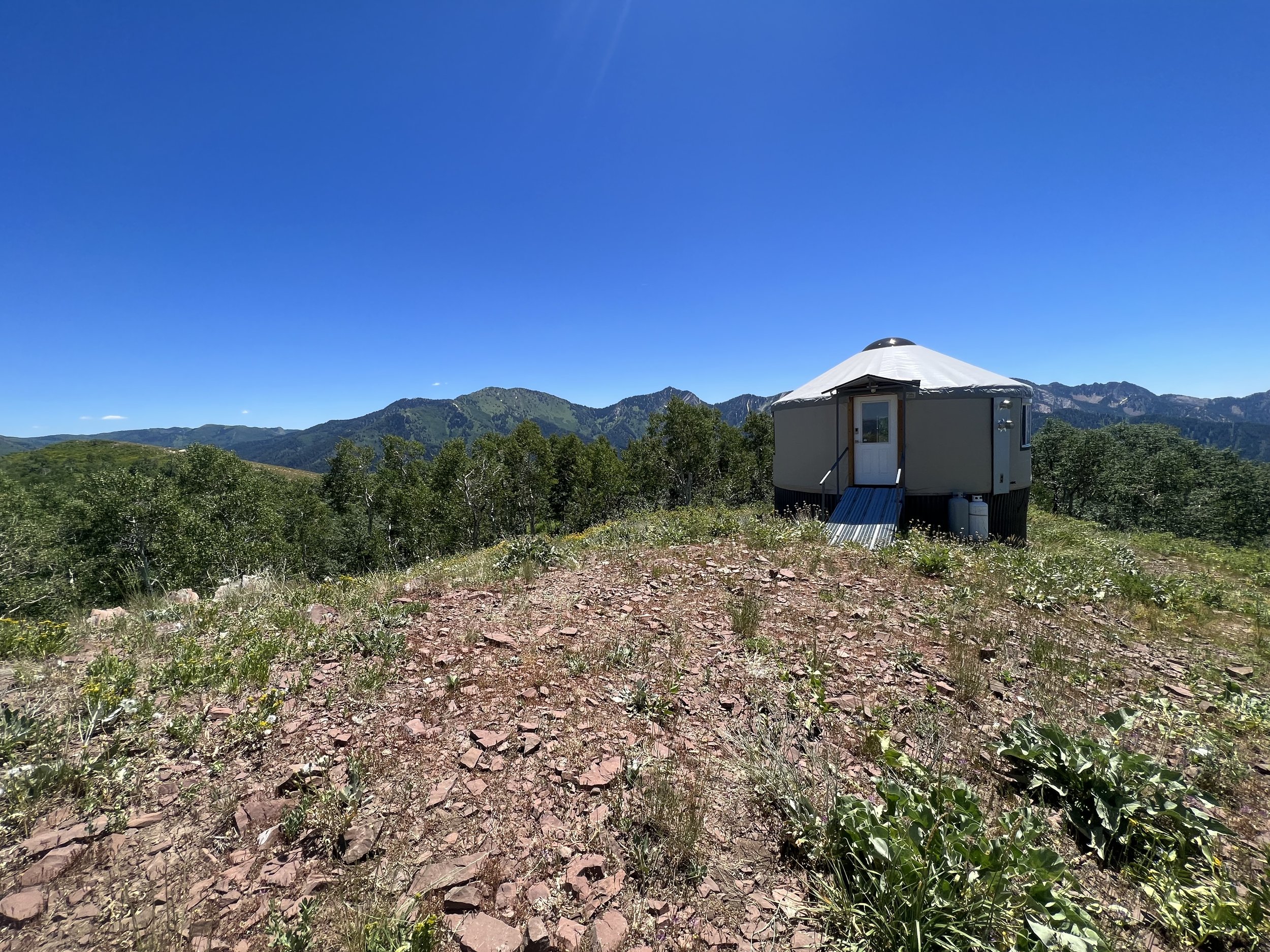
Once along the ridge at the top of Burch Hollow, there is a chill scramble across some sharp rock to bypass the first section of bushwhacking. I managed to find a decent route across the ridge with little bushwhacking. I sort of weaved on either side of the ridge and then dipped into the aspens to cut across the last scooping canyon which was a mistake. That was thick bushwhacking. Continue past the yurt and out to the point with the large summit cairn. The views are nice, but not better than Grandeur. I reversed the ridge and this time stuck to the actual ridge on the scooped canyon section, and of course it was incredibly clear of shrubs. So lesson of my wrong doing: just stick to the ridge.
Images below: Unknown rock wall near the top of Burch Hollow Trail, A sego lily along the ridge with Raymond in the background, The only scramble on the ridge with a cool ledge, Bushwhacking when I could have just stuck to the ridge, Final glimpse of Church Fork Peak before summiting, The view from Church Fork Peak looking down Millcreek with Grandeur and Olympus Slabs in view, the yurt atop the ridge of Church Fork.
Summit 93&94 - Nelson Peak and Bates Peak - July 14, 2023
This one was tricky to figure out, an I will recommend only attempting with a few requirements: must have a vehicle with good clearance, a downloaded topo map with route, good sense of direction, experience with legit bushwhacking, plenty of water.
The west side of the Oquirrh Mountains are mostly BLM land so access is possible from a few canyons. What is hard to find, is any information about said canyons and access. But lucky for you, I did the work! I accessed these summits from Bates Canyon and was lead there by a single mention of a “trail” in a Summit Post. The network of 4x4 roads to just get to the TH was the first hurdle. I drive a Crosstrek with off-road tires, but no additional lift. It can pass through most anything, including sections of the Kokopelli Trail. There were a few spots in this network of roads, however, that were a bit too much for Mo. I lucked out and watched a pickup truck full of kids take a less assuming shortcut and figured I would give it a try as well. Turns out, it was the only passable way to get to the TH! So obstacle 1 was adverted.
Obstacle 2: I forgot my flasks for water so if I ran, it was going to be waterless. The west side of the Oquirrhs get all that afternoon sun, and while I can typically handle heat well, there was no breeze, and I ate too much lunch so I was feeling quite shit. I chugged some water and gave myself some cushion to hike if I felt inclined to not overdue it.
I set off up the trail which was actually not bad for the first 2 miles. There are some big talus slopes, old mining carts, and then a small cluster of old mining cabins. The trail certainly becomes more rugged and hard to follow after the cabins, but not terrible. It’s around 2.5 miles (maybe?) where it all but disappears and you’ve arrived at obstacle 3: the bushwhack.
From here, you’re aiming for the saddle but there is not even a hint of where to begin. The slope is steep, very steep in some spots, and the shrubs are head high. I stuck a bit farther to the right in the aspen grove because the shrubs were easier to move through than the left side that seemed to have a fair amount of thick scrub oak. There are a lot of downed trees and some boulders hidden beneath the shrubbery which made the task even more tricky. Eventually, I gave up on trying to follow the GPS track and decided to just shoot for the ridge. I made it to the ridge with minimal skin irritation and then looked up at Nelson Peak to the north with a little doubt. I was thirsty, it was warm, and I was already nearing 2 hours.
I pressed on, picking the easiest possible line through the scrub oak covered ridge. The final slope to Nelson becomes more rocky and loose, but I managed to conserve enough energy to enjoy the summit as I finally arrived. I looked around for a little notepad I knew was hidden in the rocks, but couldn’t seem to locate it. The views from Nelson are impressive. It’s the most prominent peak in the Northern Oquirrh range and you really can see almost everything—SLC to the east, down into a massive canyon to the south, all of the northern summits of the range, and even the Great Salt Lake. I looked across the ridge to Bates with a little dread. It was farther than I wanted it to be, and I knew that if I didn’t bag it now, then I would have to return here, and likely in the same way. I recalled that your body is quite resilient and can handle thirst for much longer than you’d expect. So I started the traverse.
The ridge to Bates was actually pretty chill. There is a faint trail in spots and the terrain was less technical than I was fearing. I made it to the Bates summit marker in roughly 18 minutes, and felt a huge relief. The views from Bates of Tooele and the Salt Lake were divine. This one felt really special.
I started to head back and slowly descended off of the ridge trying to work through the slope a bit sooner. It was a bit fruitless as the rocky slopes and thick scrub oak made moving down tedious. I ended up just crossing the slope back to the aspen grove where it was still incredibly difficult to move down the steep slope, but definitely the easiest option. After a couple of hard falls, lots of shrubs to the face, and some guessing, I popped right out onto the trail. These are the moments where my bizarre talent for spacial recall really feel great.
I worked down the steep upper trail taking a few more falls, then managed to cruise a little bit on the lower section where it’s technical, but less steep. I made it back to the car in roughly a total of 4 hours and desperate to chug some water. I don’t think I’ll repeat this one, ever, but I have a feeling I will likely explain this route to a lot of friends who wish to attempt it. In all the years I’ve lived in Salt Lake, I’ve never met anyone who has explored the Oquirrhs. That’s not to say people don’t, they definitely do, I thank those select few for what data I was able to piece together, but the vast majority of Salt Lake residents just look at the Oquirrhs and tell themselves they’ll get up there someday. Based off of this experience, I can say without a doubt, of the very small number who will actually attempt to, only a fraction of those will succeed. What serenity there is to sit alone, atop a seldomly visited summit with impeccable views.
Images below: The Oquirrh boundary sign, Part of the lower trail that is more established, The trail where the brush starts to take over, The aspen grove that was a bit easier bushwhacking compared to the scrub oak, Along the ridge looking up at Nelson Peak, The true summit of Nelson Peak looking down at whatever station thing there is on top, From Nelson Peak looking down ridge to Bates and Farnsworth in the distance, Yours truly on top of Nelson Peak, The view of the canyon to the south of Nelson Peak, From Bates Peak looking back to Nelson Peak, The summit marker on Bates Peak and the Salt Lake beyond it, One of the old mining cabins in the middle of the ascent.
Summit 87-92 - Hidden Peak, American Fork Twins East Peak, American Fork Twins West Peak, Red Top, Red Baldy, and Mount Baldy - July 13, 2023
The most memorable moment of this one was definitely being on the ridge ascending Red Baldy and thinking to myself: “this is full on.”
I’m not going to overshare on this route because I definitely don’t want to give the impression that it’s casual. It’s anything but.
I started by following the Peruvian Trail up from the Snowbird main lodge. Jumped onto the ridge that winds up directly to Hidden Peak. I remember that trail feeling much harder during Speedgoat, but found it to be pretty chill today. Soon I was at the top of Hidden Peak where handfuls of tourists who paid WAY too much money to ride a tram up were milling about, taking selfies and enjoying nature. I took a good look at the ridge along the American Fork Twins and questioned if it was going to be clear up high. It was hard to tell, but I figured I may as well go check it out.
The ridge to get there is the first limitation for your average hiker and runner. It’s a scramble along a knife ridge and while it isn’t terribly long, it’s got enough consequential exposure to weed out literally anyone who rides the tram up, and most non-climbers. I picked my way across then ascended the steep slope to the first AF Twin (East). I was pleasantly surprised to see little to no snow at all along all of the ridges. I snapped a pic, then crossed the saddle to the West Peak of the AF Twins. Again took inventory of the ridges and continued along to Red Top (also called “Red Stack”). It was here that I was planning to turn around, but halfway through eating my only snack, I figured Red Baldy was close enough, and there was enough afternoon left that I could just bag that one too. It was only a matter of minutes before I was picking my way down the boulders to go check it out.
Here is where I’ll leave description out and say simply, do not attempt this unless you are very experienced. The rock is choss, there is extreme exposure and some sections are much more technical than your average fifth class terrain. A mistake here means death.
So anyway, I enjoyed the summit of Red Baldy while listening to coyote cubs playing in the upper valley below (no dogs allowed in Little Cottonwood, so much have been Coyotes). I down climbed to the saddle and then followed my route back to Hidden Peak, summited each one again haha. I filled up on water at the Tram station then did a short out and back to bag Mount Baldy while I was up there bringing the total to 6 summits for the afternoon.
You can descend the mountain in 3 ways: first is to take the Hidden Peak ridge trail (the way I came up), descend the slightly longer but less technical ski road back down, or you can ride the tram which is actually free to anyone going down. Another reason why you should just gain the mountain yourself.
Images below: The summit of Hidden Peak with it’s eye sore of a tram dock, Looking west to the American Fork Twins, The ridge to get to the American Fork Twins, The summit of American Fork East Twin looking across the saddle at the West Twin, The summit of American Fork West Twin looking down the ridge to Red Top, The summit of Red Top looking south at Mount Timp and Red Baldy to the right, The summit of Red Baldy looking back at Red Top and the AF Twins, The Summit of Red Baldy looking down to White Pine Lake, The summit of Mount Baldy looking west at the tram dock and the AF Twins in the distance.
Summit 83-86 - Murdock Peak, Unnamed Peak, Sheep Shit Ridge, and Peak 9467 - July 12, 2023
OVER HALFWAY BABY!
This morning was just a delightful series of summits in every way. I woke up early to to squeak this one in before work and I lucked out with temps. The top of Millcreek Canyon where I started the run was 52 degrees, and managed to only peak in the 70s when I finished. It was a little bit longer of a run but there were only 4 summits left from that area so I figured I may as well just bag them all in one go.
The trail heading up to Murdock was lush and I took my time to not expend too much energy too quickly. I didn’t bring water with me, so the name of the game was to just float. I hit the summit in good time, enjoyed the views into Park City over the crest, and especially the most recent entry in the summit log from yesterday. I made sure to add my own before heading back down the short summit spur, and started to work along the crest toward the remaining summits.
There were a few people out, but not as many as I’d expect for a bike access day. This made moving along the crest rather quick work and before I knew it, I was atop the summit of Unnamed Peak. I soaked it all in for a moment. This was officially halfway through this project. I felt a sense of accomplishment for having overcome quite a lot early on, but I made sure not to gloat. There is still so much left to do in this project!
The next 2 summits were nearby with Sheep Shit Ridge occurring along the way to Peak 9,467. Sheep Shit Ridge is a nice detour of singletrack from the crest down to the Great Western Trail and I’ll likely repeat that again as today was also not the first time I’ve passed through. Peak 9,467 however, it was an off-trail highpoint that had some nice views, but not memorable in the way that surrounding summits certainly did. I double-backed along the ridge and started to work down the Sheep Shit Trail where I got a friendly flyby from Nate who was rippin’ on his bike, per usual! I took the Great Western Trail down to the junction with Dog Lake Trail to make a loop out of the whole morning.
Images below: The morning sun peeking through trees as I ascended from Millcreek Canyon, The first real view of Murdock Peak after rising along the spur trail to the ridge, The summit log at the top of Murdock Peak with Park City Ski Resort in the background, The view from Unnamed Peak looking southeast toward Desolation Peak, The view along Sheep Shit Ridge, The view from Peak 9,467 looking northeast toward Murdock Peak, A cluster of Fleabane with a butterfly.

Summit 80-82 - Desolation Peak, Silver Benchmark, and West Desolation Ridge - July 10, 2023
I’ll start this one by simply saying that I have always wondered what West Desolation Ridge is like. I have run the Desolation Lake Trail numerous times, and always admired the ridge from a distance. It is even more splendid than I could have imagined it to be.
I started my run from the loved-to-hate trail, Beartrap. It was over 90 degrees, so I chugged a little extra water before leaving the car since I don’t carry water for most runs. I started the ascent feeling alright, but around halfway after running through what felt like endless swaths of flying bugs, I succumbed to fatigue and slowed down a bit. Beartrap is steep, but not too steep. It’s in that sweet spot of runnable, and begrudging hiking. I hit the crest and was sure to take a breather before heading up the steeper slope to Desolation Peak.
The view from Desolation Peak is nice, it looks directly down into Park City Ski Resort to the east, and along the crest to the south. I got my first glimpse of West Desolation Ridge from here, and opted to pick a line down the ridge to the south toward Silver Benchmark since I was tired and backtracking to make more mileage seemed futile.
The ridge to Silver Benchmark runs parallel to the crest trail below. There is a considerable amount of brush and trees on the west side, but a clear slope with rocks to the east. I stayed mostly on the east side picking my way to the summit marker. Another quick look around and I was reversing back to the crest junction where I would tackle the more intense ridge of West Desolation.
I really don’t want to say much about this ridge because it was such a pleasant surprise and sheer delight. There is a faint trail part of the way, then it turns into an off-trail adventure. It took considerably less time than I expected, but wow. Just wow. I made sure to trace the ridge all the way to the edge where the best views are for sure. I recommend that this is likely still advanced terrain with loose rocks and steep, consequential slopes, but with enough time and practice, some intermediate experience can handle it. Travel with caution, I ripped a rock on the ridge from hard footing and caught myself with two hands on good holds. This ridge might have become my new favorite of the project so far.
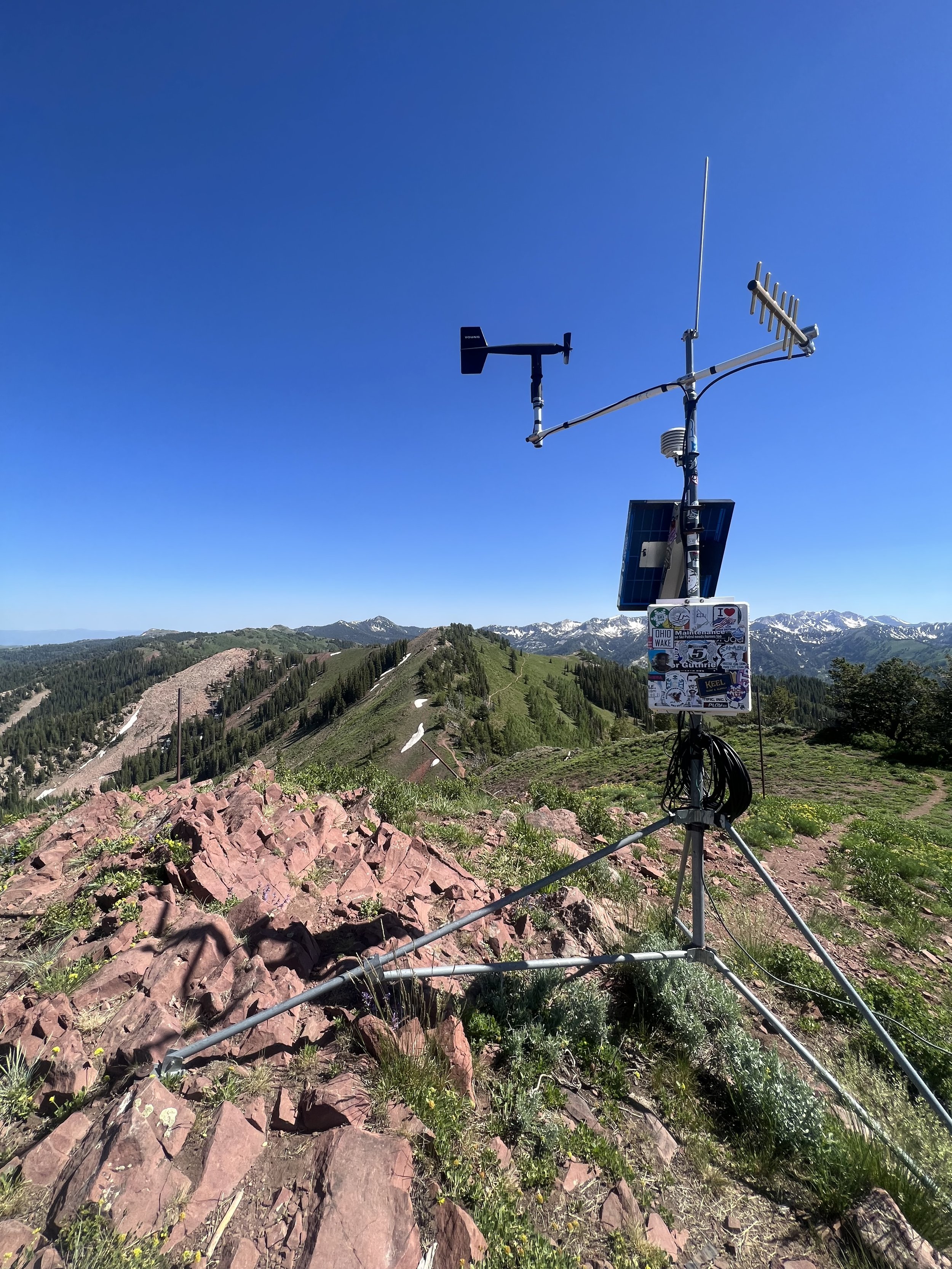
Images below: The view of Desolation Peak from just below with a weather station atop, The view from Desolation Peak looking south toward Silver Benchmark, The first glimpse of West Desolation Ridge from Desolation Peak, The maker on top of Silver Benchmark, After the first crest looking west along the ridge to West Desolation in the distance, The view from West Desolation Ridge Summit looking east toward Desolation Peak and Silver Benchmark, View from West Desolation Ridge looking southwest down the steep slope to The Cone which I skied very early in this project (January), Some pretty flowers growing along the side of Beartrap trail.
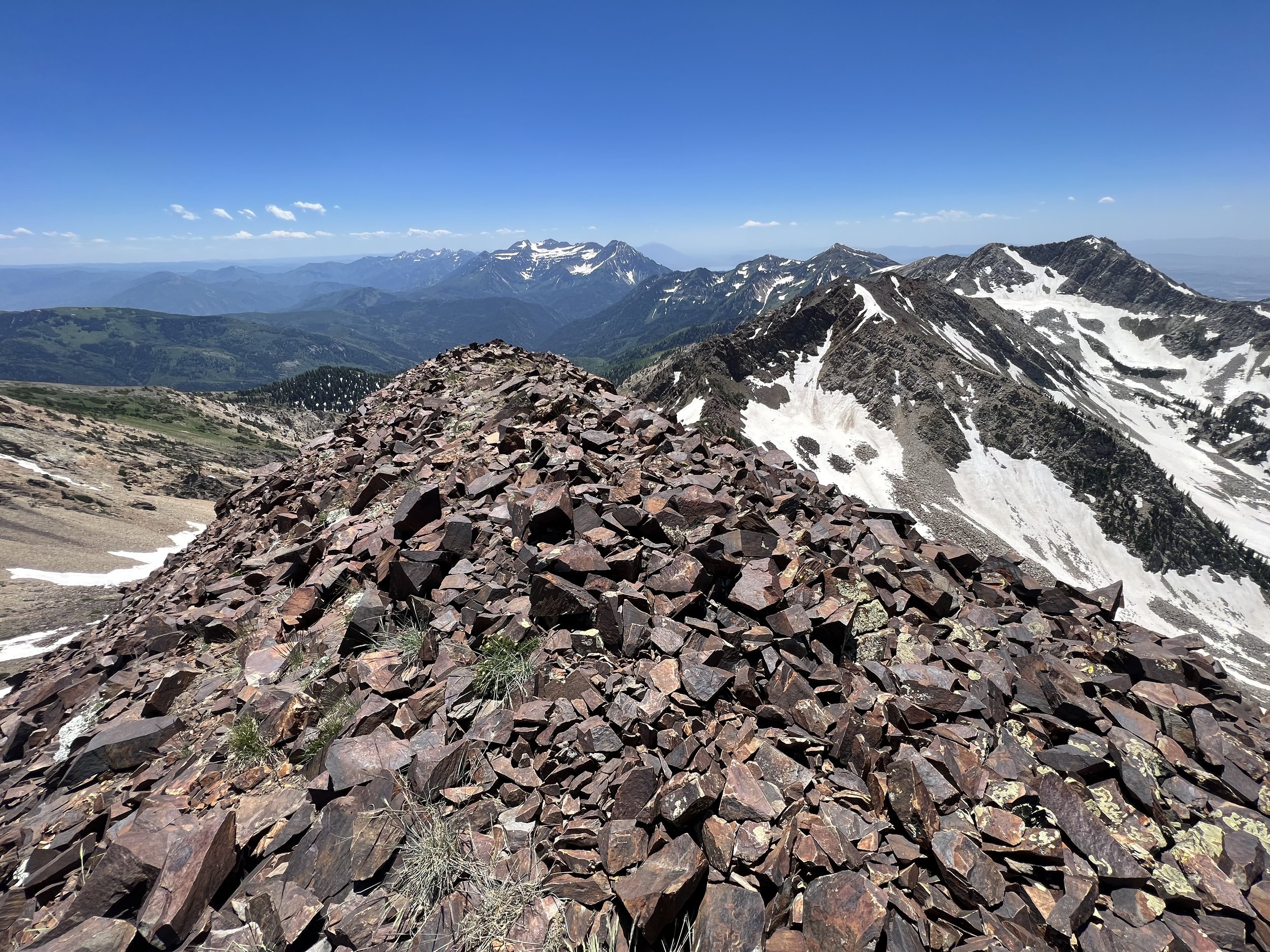
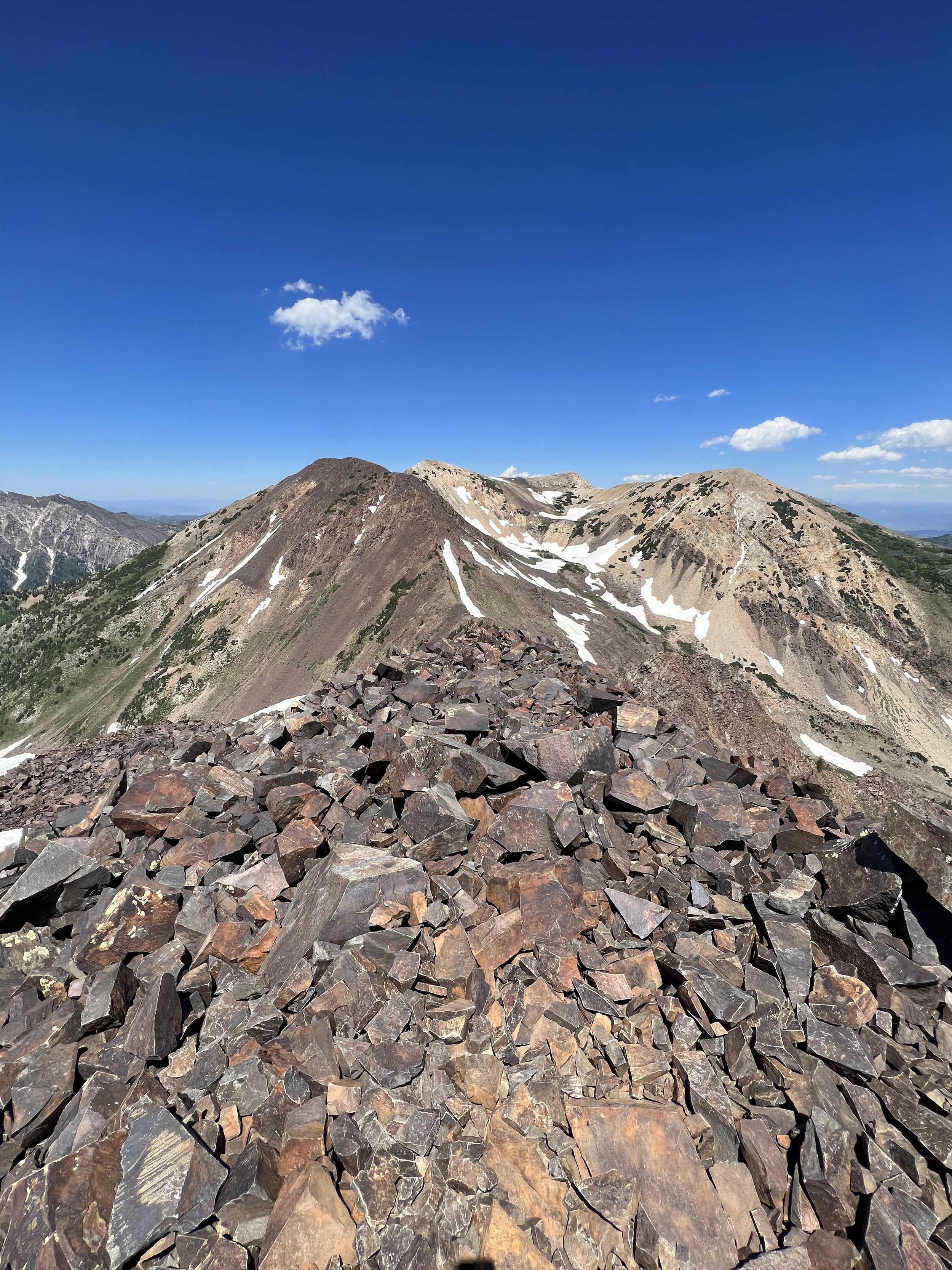
Summit 77-79 - Scott Hill, Peak 10,009, and Willow Knob - July 9, 2023
The only thing getting in the way of me eating a heaping plate of nachos for dinner is this write up, so I’m gonna make it short.
Started along the Crest Trail Connector where you can park and smoothly ran up the road. Bumped into a friend which was nice, and pressed on to Scott Hill. I found this one to be neat as it is quite the obvious little summit from the trail below. I left the crest where a faint trail takes a more direct line up to the summit of Scott Hill. It is steep, but short. The views were lovely.
I continued across the ridge, bushwhacking for a whopping 15ft. The ridge met the crest again and I continued along the buffed out doubletrack as it crossed a few big snow patches, and then eventually turned to singletrack. I made it to roughly below the summit of 10,009 and started my off-trail ascent directly to the summit. I was hoping for no bushwhacking, and I lucked out. Much easier than it looks from the trail. A quick pic, and I was heading back down to return along the trail and find the ridge to Willow Knob.
The ridge to Willow is not fast moving, but it’s not bushwhacking either, this was shaping up to be a good day. I moved slowly, losing some elevation, and crossing 2 smaller bumps until I eventually made it to the end of the ridge where Willow Knob is. It has some great views of Solitude, and none of the traffic along the crest. I might visit this again. Reversing the ridge and the crest trail rounded this run out.
Images below: Looking up to Scott Hill after diverting from the crest trail, The summit of Scott Hill, The summit of Peak 10,009 looking southwest, A cool plant I saw on the off-trail hillside of Peak 10,009, Just a nice view of the crest trail as I worked my way back toward the ridge of Willow Knob, The summit of Willow Knob looking at Solitude Resort, From the summit of Willow Knob looking west down Big Cottonwood Canyon.
Summit 75&76 - Millvue Peak and Haddock Peak - July 8, 2023
I’m starting to get delirious from counting these summits.
This was just a nice day out with friends. We headed up the Mt. Aire/Lambs Canyon trail from Millcreek, took the concealed turn for Millvue where the trail got a little more overgrown, and worked our way up casually to the summit of Millvue. We took in the moment, chatted about some of the big summits across the canyon and their respective ski lines, then picked an off-trail path across the small valley to the east toward Haddock Peak. This one might have been more interesting as there were some rocks comprising the summit, and a shiny piton hammered into them as if there was an attempt to establish climbing. It looked chossy af though, so I doubt anything came of it. That’s pretty much it! Likely a summit I won’t repeat.
Images below: The summit of Millvue Peak, The Summit of Haddock Peak, The piton in question.
Summit 72-74 - Kessler Peak, Reeds Peak, Carbonate Pass - July 7, 2023
This ridge will always be a favorite for me because I can see it from my living room window. My first trip up it was in November of 2022 where I skied Little Giant off of Carbonate Pass. It was on my list to ski this spring as part of this project since it boasts some notable lines like God’s Lawnmower and Argenta, but unfortunately the broken ankle put a stop to that plan. I hope to ski it someday, though.
The summer trail up Kessler is well worth it’s own glory though. It’s steep, climbing a whopping 3K of vert from the parking area in Big Cottonwood to the summit. The trail is of debate lately, in fact the whole upper canyon is due to some private property battles. I’ll break this down so it’s heckin’ easy to understand: there is an old mine in the canyon, and there is a technical property claim around said mine. The old road goes to the mine, but the land prior and around the mine are not private. The land owners are cranks and attempt to block the road with netting, and signs. Because of this debacle, there is little development or maintenance in the canyon, and the upper canyon is primarily accessible for backcountry activity and not your average trail user. Knowing how to recreate here respectfully is crucial, but it is indeed annoying that the land owner puts blocks on public land. Okay, moving on…
After you’ve bypassed the unnecessary privacy signs to turn on to the very much public trail and side of the canyon, the Kessler trail ascends through some small forests and switches modestly for about a mile until the trail cuts across God’s Lawnmower. Even in July there is still snow, but it was late afternoon and I felt confident it was soft, so I just kicked steps in to connect to the other side. Not bad at all, but a fall here would be very dangerous. The trail wraps around to the Argenta side of the mountain and then begins it’s steepest section toward the summit on somewhat loose rock. The trail meets the saddle between Reeds and Kessler before you have the choice as to which summit to tag first. I chose Kessler because I was deep in the Strava segment hurt and wanted to post a time. It wasn’t bad at all, less than hour, yay! Then I backtracked to Reeds which I found to be a little more interesting because it had a narrow ridge with cool chutes to the east dropping off of it. After a few photos, I double-backed to Kessler and picked a slow line down the steep west side to find a path over to Carbonate Pass. That took a little longer than I expected due to the technicality, but once I was down on the saddle, the summit of Carbonate Pass was an easy tag.
To get down, I chose to loop in vs. the more common out-and-back. This required dropping into Cardiff via a steep rocky trail that wasn’t totally clear, but alright. Once it became more green and lush, the trail turned into more of a guessing game through shrubs and fallen trees. This was definitely a slow descent, but I was able to figure it out since I have spent a good amount of time skiing in that area. There are some meadows I recognized that clued me in to the general direction to get down without cliffing out. I spit out of the bushes and onto the Cardiff Road where less than 2 minutes later on the easiest terrain of the entire day, I wiped out hard. Cardiff Canyon 2, me 0.
Images below: Me on top of Kessler Peak, The summit of Kessler Peak looking south toward Carbonate Pass, From the summit of Reeds Peak looking back toward Kessler Peak, From Reeds Peak looking down at the parking lot below, From the summit of Carbonate Pass looking south, My poor battered leg.
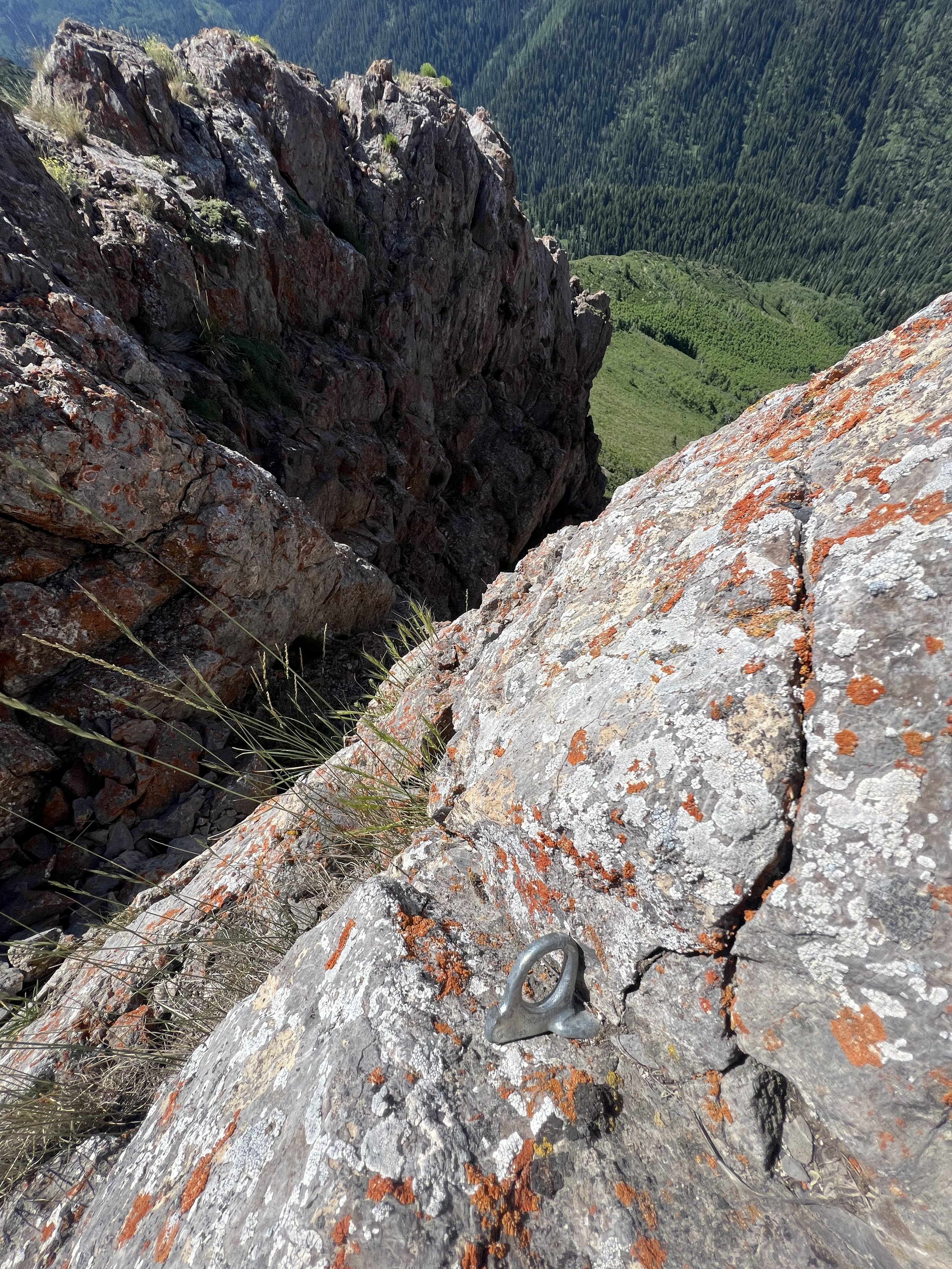
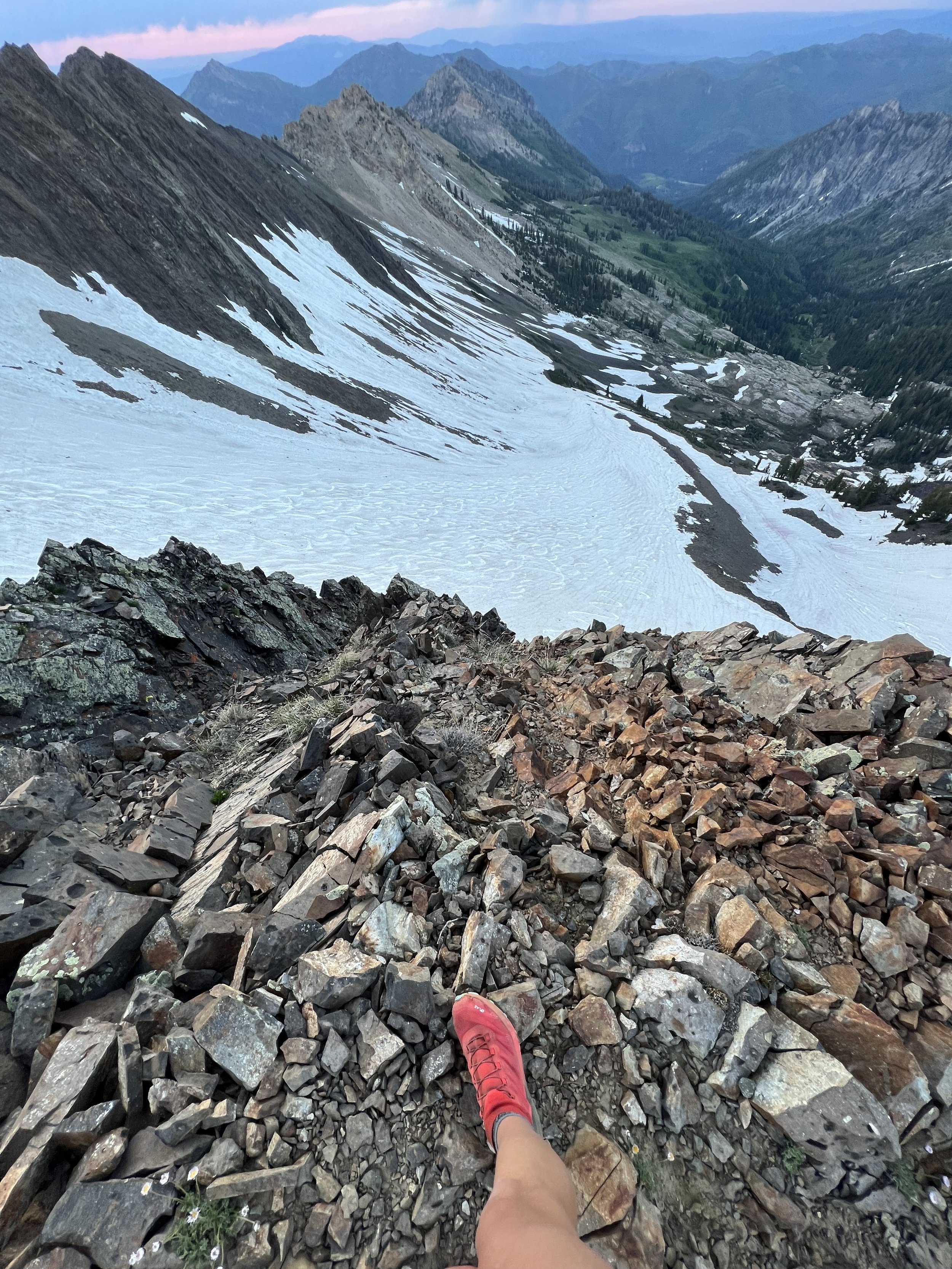
Summit 68-71 - Mount Superior, Monte Cristo Peak, Little Superior, Cardiff Peak - July 6, 2023
Mount Superior is definitely a Wasatch Classic. It can be approached by the standard hiking trail, or the much more exposed South Ridge scramble. We opted for the scramble because it’s one of the best lines to send a summit in the entire range!
We started in the evening, packing headlamps that we would ultimately not use. We meandered up to the start of the South Ridge and started to pick our way up. This route is only advisable for people who are comfortable with exposure, and also know how to move through terrain that may have loose rock. We were thoroughly enjoying ourselves, taking in the views as the ridge climbs higher and higher. Less than an hour and a half later we were at the summit of Mount Superior, and had it all to ourselves.
We then traversed the ridge to bag the mound-shaped Monte Cristo which added another 20 minutes to our effort total, but we were rewarded with pristine golden hour on top. I shared photos below, but they definitely don’t do the view justice.
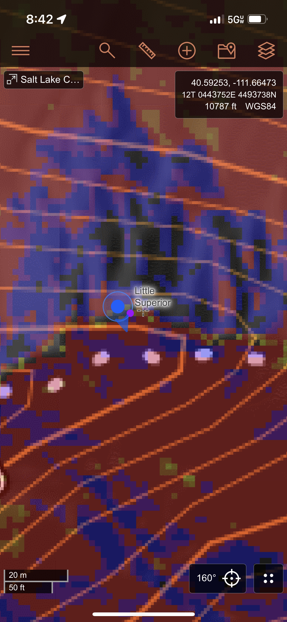
We reversed the route back, double-tapping Mount Superior and then traversing down toward Little Superior. This summit is less of a summit than it is a marker for some ski descents off this ridge. It’s not prominent in any way, but I ensured to grab a screenshot of my topo map and gps to ensure it shows that I stood on this arbitrary point. Then we kept on going down.
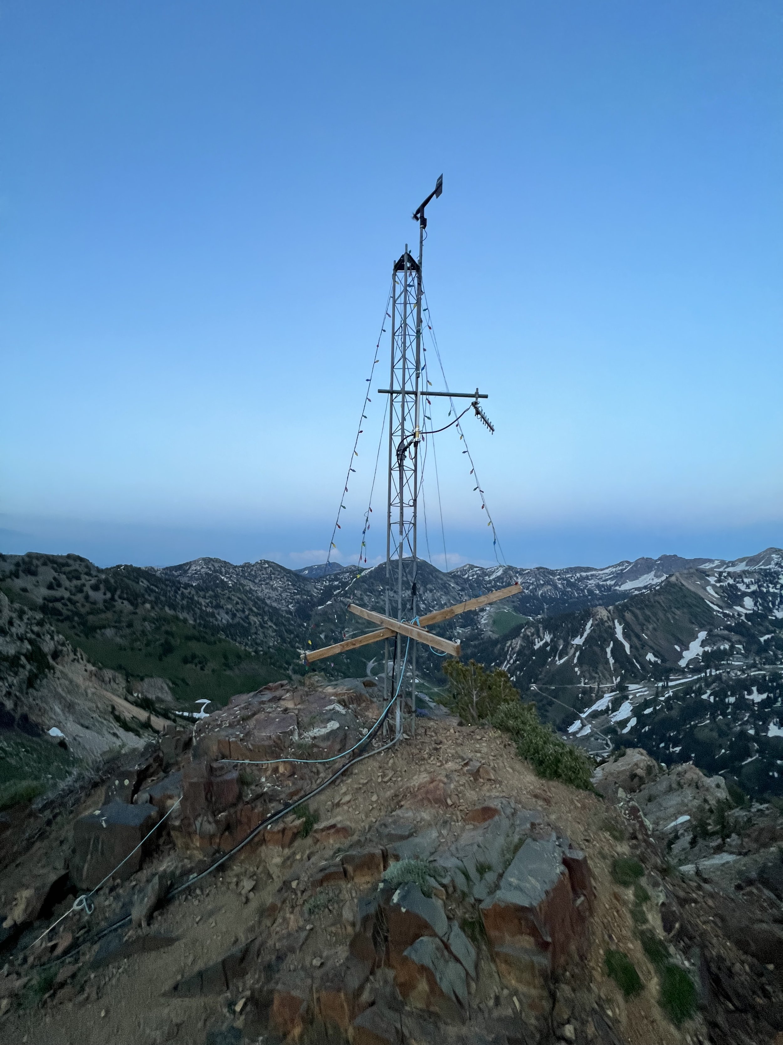
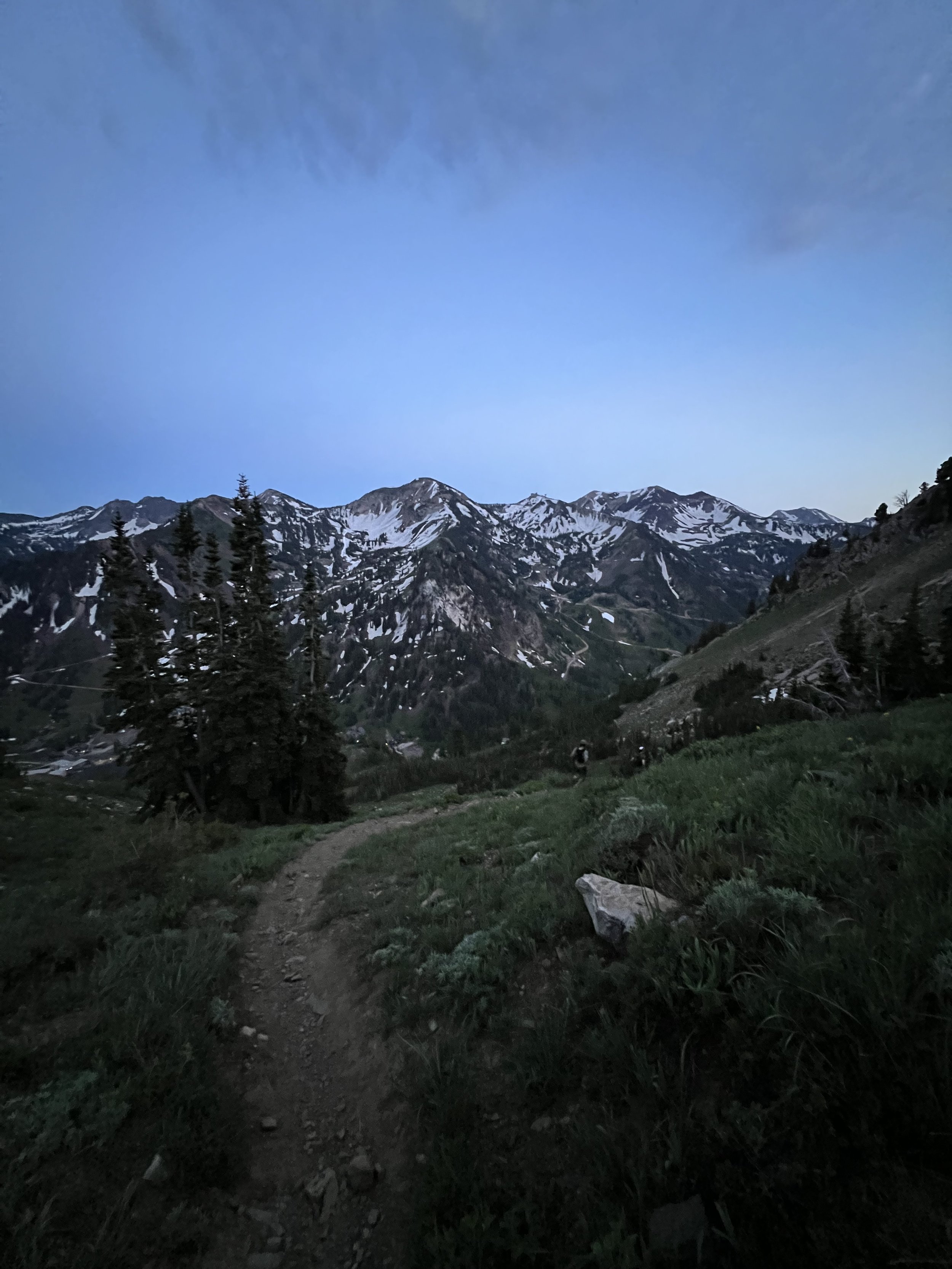
As the light was fading, we hit the last summit, Cardiff Peak, where the Christmas tree light structure was still standing. Another quick pic, and we were on our way down to Pole Line Pass. The jog out is fairly obvious from here, just following the trail, and eventually a dirt road, then the actual canyon road in order to loop back to where we parked below the South Ridge. By the time we arrived on the road, the light was gone. I shimmied back to the car as fast as I could more worried about cars not seeing me on the shoulder than any of the exposure fears I had all evening. It was a grand time, and a route I will certainly repeat many times to come, it’s just that good!
Images below: The crew working their way up on the lower section of the route, Jo and Tanguy on the South Ridge, Another image of the South Ridge as it ascends for 3000ft, The last little sliver of the South Ridge as it ends at the summit of Mount Superior, From the summit of Mount Superior looking east toward Monte Cristo Peak, Me moving along the saddle between Mount Superior and Monte Cristo Peak, From the summit of Monte Cristo Peak looking east, Yours truly celebrating 69 summits on top of Monte Cristo, The squad on Monte Cristo Peak, Last shot from Monte Cristo Peak looking north down canyon to where the Lake Blanche trail is, From the summit of Little Superior looking down at the skiers lines, Topo/GPS confirmation, The summit of Cardiff Peak, last light fading fast on our way down from Pole Line Pass.
Summit 67 - Grandview Peak - July 4, 2023
I came for a jog, and ended up setting a new women’s Fastest Known Time.
Grandview has a reputation for being one of the “hard ones” in the Salt Lake area. There is relatively no short way to get there, and the few miles closest to the summit are a bit more challenging than your average trail. It requires fitness, planning, good weather, and some experience moving through overgrown terrain. It seems I got lucky today.
I started my run late from Big Mountain Summit, one of the longer approaches, but probably the most common and most runnable. It was somewhat cool, definitely not hot, and there was a pleasant overcast sky. I worked my way up the first climb on the Great Western Trail, trying to limit my pace knowing it was going to be a longer effort. My stomach was already growling. I don’t think the bowl of fruit I had for breakfast was nearly enough. I had a bar, some candy, 450ml of electrolytes, and 450ml of water though. I figured I’d just move along and eat when it got worse. It oddly never did.
Around mile 2.5 a low flying Cessna came roaring around the ridge, it was rather cool in my opinion, and boosted my mood. I continued on, passing a few hikers, and eventually hit the fork for the Swallow Rocks area. only 54 minutes had elapsed so I know I was doing alright.
Around mile 5.5 the Trail makes another fork and becomes quite technical. The trail itself looks much less traveled, definitely not maintained, and requires some slowing down to ensure you don’t totally lose it as it becomes more and more overgrown. I didn’t find this to be a terrible challenge though, a little consideration of the surroundings leads one to navigate it fairly okay. And the growth was scratchy, but at least it wasn’t full on bushwhacking!
I continued along, eventually forking to the last ridge where the trail is a choose-your-own between snow patches, rocks, or grassy slopes. I picked a line of a combination, following what looked like the most obvious “trail.” At 2:14 elapsed time, I was standing on the summit, alone, and surprised. It had started to rain, so I felt a chill, but I had not expected to arrive that quickly. I downed the rest of my electrolytes, took some pics for proof, and was on my way back in maybe a minute’s time. I walked down the technical ridge, taking my time and eating half of my bar. I wish I had remembered the candy, but alas, I didn’t until I got back to the car.
The run back was wet for the growth along the upper trail had held the water and I was the only visitor to brush the moisture off. It wasn’t cold, so it wasn’t that unwelcome. My body was feeling great, and I had a glimpse that I could likely go sub 5 hours for the whole trip if I kept moving this well.
The sun started to make occasional appearances as I worked my way back through the rugged sections, and back to the doubletrack of the more popular Big Mountain area. There were a lot less people on the trail than earlier, likely due to the temps rising, but it was nice. I kept checking my watch and realizing I was getting closer to a 4:30 roundtrip, and the excitement was energizing. I cruised down the last section of trail, depleted of all my liquid, and desperate for the Gatorade I stashed in the car. I tagged the Big Mountain Pass marker at 4:19:55. A new women’s FKT :)
Images below: The first look at Grandview Peak from the trail, The Cessna, A clear ridge trail between two technical sections of trail closer to the summit ridge, From the Summit looking southeast to Salt Lake City and City Creek canyon below, From the summit looking due south, Proof of the 4:19:55 elapsed time at Big Mountain Pass marker.
Summit 65&66 - Guardsman Peak and Guardsman Pass - July 2, 2023
Casual little recovery hike to beat the heat in the valley. Dropped off at the pass and headed up to the small summit of Guardsman Peak with Scott, we took in the views, then headed back down to the pass which amounted to a whopping half mile roundtrip. I’m counting the pass in this activity, but will have to hit it again in order to bag Venture Peak/Peak 10420 and Clayton Peak which I’ll need to bike to the pass and hike up the saddle. So either of those activities will be “on-foot.”
Images below: Looking up the steep trail, Standing on top of the bench on the Guardsman Peak summit, Looking east over Park City Ski area, Scoot and I!
Summit 58-64 - North Olympus, Mount Olympus, Triangle Peak, East Olympus, Wildcat Ridge, South Thayne, Thayne Peak - July 1, 2023
Not for the faint of heart or skill.
7 technical summits in 10.5 hours. We ran out of water. The sun was hot. That took some will power.
We started the day early, shuttling a car from the Thayne Peak TH in Millcreek to the Z Trail in Olympus Cove. We clicked our watches on at 7:30am on the dot, and were off to ascend the trail toward the West Slabs. The route we conceived was a hardy investment in scrambling. There is a much easier trail, albeit steep and overcrowded, that will take you to the top of Mount Olympus, but with our objective also containing the North Olympus summit, it really only made sense to approach from the West Slabs so we didn’t have to backtrack through a very tedious section of climbing and downclimbing.
We arrived at the gully, and the snow was still quite firm. I kicked in steps, cautiously, while Tanguy and Aben worked around the snow on the rocky edges. The snow was indeed faster, but I had the advantage with poles. I made it to the base of the slabs where two parties were simultaneously belaying their leader. I have never seen anyone with ropes on this route, but to each their own. The West Slabs are 5.4 with some excellent exposure. A move of 5.6 or even 5.7 can surprise you if you don’t pay enough attention to move across ledges to where the easier climbing is to be had. There is always an easier section. We enjoyed the slow solo, reaching yet another party that was roped up. We scrambled around them and watched their leader hesitantly adjust their route to follow ours after looking at the blank slab they were intending to climb and I suppose seeing how casual our dike appeared. See folks, just look around.
We made it to the ridge and immediately found our first rattlesnake of the day! We continued on to North Olympus where the scrambling ticked up a notch. Moving up steeper rocks is fine, but moving down them can really make you slow down. We enjoyed a brief pause taking in the first summit of the day and looking across to Mount Olympus where a conga line of hikers decorated the summit skyline. Down we went, around the Memorial Couloirs, across narrow ledges, and right into another rattlesnake tucked between rocks. He didn’t mind us though, and we picked our way to the last low of the ridge and quickly climbed up to the summit of Olympus. We wasted no time here, only stopping to take a photo for proof. The vibe was the antithesis to our day. Good for those people and their steep hike.
We dropped down to the saddle where you get the last open section of ridge for what would feel like a long time.
The ridge turns into exposed scrambling with sheer cliffs and steep rocky gullies on either side. It narrows into an iconic knife ridge where you can easily walk across, or sit on your butt and scoot along. We opted for the walk cause compared to some of the downclimbing we’d already done, this was a breeze.
Preparing for the worst, we continued up to Triangle Peak, also known as Hobbs Peak. I had read in a few hiking logs that this was one of the more technical sections, but I think I failed to consider that those write ups started with the hikers trail to Olympus and not the West Slabs or the North Olympus saddle. We found Triangle to be a casual pile of rocks. Of course the danger of death from a fall was present, but highly unlikely. Oh, and I almost forgot, we found our third and most angry of the rattlesnakes hiding under a rock ledge on this summit approach. He gave me a good scare as he was about a foot away from my ankles, and in a striking position. He let me snap a crumby photo, and we scurried around him without incident.
Triangle Peak is a pretty cool summit, I must say. There are 2 steep bumps in the sky, with quite a lot of relief in all directions. There is a couloir coming down from the gully between them that I have my eye on for skiing if it ever fills in enough. And the views back down toward the Olympus peaks are nice. They looks small. From there the ridge continues and is fairly modest. It is a choose your own adventure kind of zone where you can create a technical scramble, or skirt the steep slopes with traction and poles. We pressed on, now feeling the pressure of time since the moving was not as quick as we’d expected. Eventually we made it to East Olympus, which was higher yet than the previous summits, but boasted a rather unremarkable summit comparatively. I stuffed some snow in an empty flask and checked the map. There was some more scrambling ahead as we were crossing the Wasatch classic “Wildcat Ridge.” We separated with each of our paces and fatigue dictating our own speed. Tanguy lead the charge, I followed close enough to pick his line, and Aben… well he was nowhere in sight after we dropped off East Olympus.
The high point of Wildcat ridge is another unremarkable summit, but the ridge itself was a hoot. Good exposure, reasonably decent terrain to move a bit quicker across. And some aspens start to fill the south side as the ridge rolls into a meadow at the top of Neff’s Canyon. Tanguy and I waited here for at least a half hour until Aben came bounding down the slope. He was in good spirits despite getting off course, and we quickly adjusted the plan in case we got separated again (which we would).
We headed up from the saddle along a steep slope toward South Thayne. We were expecting this one to be a fairly easy tag, and were surprised to find that it had some vertical climbing on incredibly chossy rock. We moved slowly up the technical sub-summit, then jaunted across the more casual upper section to the summit. We looked down the Main Porter canyon where we’d skied at the start of this project, and then pressed on along the ridge north where we were aiming for a short, but steep descent to the Desolation Trail. This is where the adventure happened.
Tanguy blasted ahead and accidentally veered left onto the the wrong side of the ridge that forked. Aben stayed right, which was correct. And I, somewhat behind, forked left. I called out to the crew and got a response from Aben. I said “I went the wrong way,” but he must have heard me say “you went the wrong way.” So I started to descend the gully, thinking to myself that I could just get down to a trail and figure it out. This proved to be futile as there was still a lot of snow in this small canyon and the slope was heckin’ steep. I resolved to backtrack a little back up, then cut hard right to try and meet the other ridge, the correct ridge, and stick to the original plan of aiming to meet the trail on the east side. This took what felt like ages, but eventually I met the trail and got a call from Tanguy. He also managed to find the trail somewhere, and we agreed to meet at the saddle below Thayne Peak. Meanwhile, Aben who was originally on the correct ridge, ended up turning around and heading to the left/wrong ridge. He worked his way down some side of the slope, then met the trail to the west and was heading out toward Neffs Canyon. Tanguy and I didn’t know this.
After 2 miles of hoping over downed trees, kicking steps in more snow, and trying to run the technical trail down to Thayne saddle, I eventually got there. Tanguy and I dragged ourselves to the top of Thayne Peak, and continued along the mini-ridge to the true summit (most people stop right where the climb ends, but that is indeed, not the summit). The only cool bit about this summit really was that you could see the top of the West Slabs, where we started the day. It was a nice moment to enjoy with such a great friend. We downed the very last bit of our water, which wasn’t much at all, and started to head toward the car. I gave Tanguy my key so he could blast away, and I tried my best to move quick. I felt like I was, but my watch was shaming me with 22 minute miles haha. I was depleted, but happy to have accomplished this big day. I reached the car another 3 miles later, and Tanguy and I got word that Aben was heading down Neffs. We jumped in the car and shuttled around where Aben was just arriving at the other car parked at Z Trail. We did it, we survived. As fun as the day was, I don’t think I’ll be duplicating that route ever again. It was burly, long, dry, and incredibly technical. However, bits and pieces will be done again like the West Slabs, maybe the ridge between North Olympus and Mount Olympus. Probably Thayne Peak as a shorter out and back from Millcreek. Maybe Triangle Peak in the winter. But the rest, especially South Thayne… no thanks.
Images below: Looking up the snow gully toward the West Slabs, Tanguy about a third of the way up the West Slabs, Aben and Tanguy halfway up the West Slabs, The first rattlesnake, The view along the ridge looking east toward North Olympus and Mount Olympus, The view from North Olympus looking south toward the rock feature in the middle and Mount Olympus behind it, The second rattlesnake, A cool little ramp ledge that carries you around the middle rock feature in the Olympus saddle, The Mount Olympus summit mailbox with some picturesque butterflies, The knife ridge to Triangle Peak, The third rattlesnake, From the second summit of Triangle Peak looking back at the first with North Olympus and Olympus beyond, From the summit of East Olympus looking northwest to the Wildcat Ridge, From the highpoint of Wildcat Ridge looking at Thayne Peak to the left and South Thayne to the right, In the meadow between Wildcat Ridge and South Thayne (top of Neffs Canyon), From the same meadow looking south toward the summits in Big Cottonwood Canyon, A tiny Tanguy and Aben nearing the top of South Thayne, The view from South Thayne summit looking east into the Porter Fork canyon with Gobbler’s Knob and Mount Raymond looming above, A view through the trees at Thayne Peak, From the true summit of Thayne Peak looking east with the top of the West Slabs in the distance.
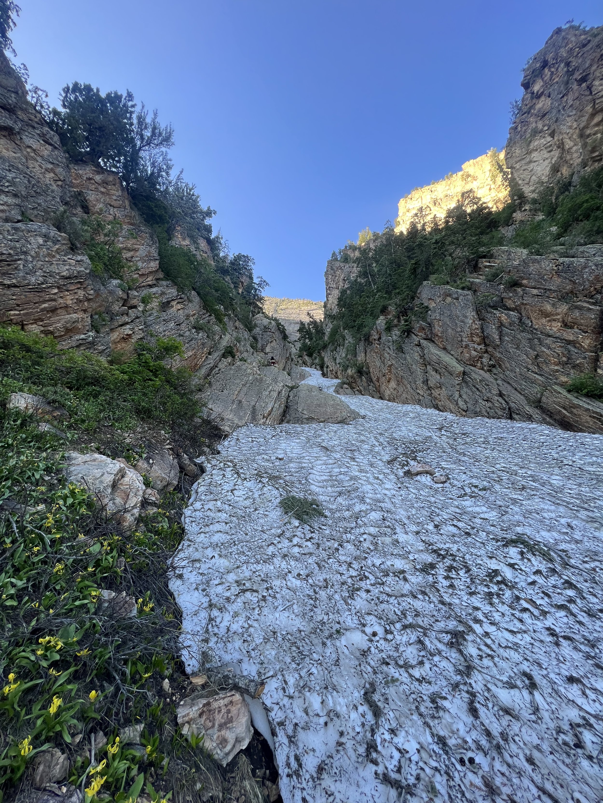
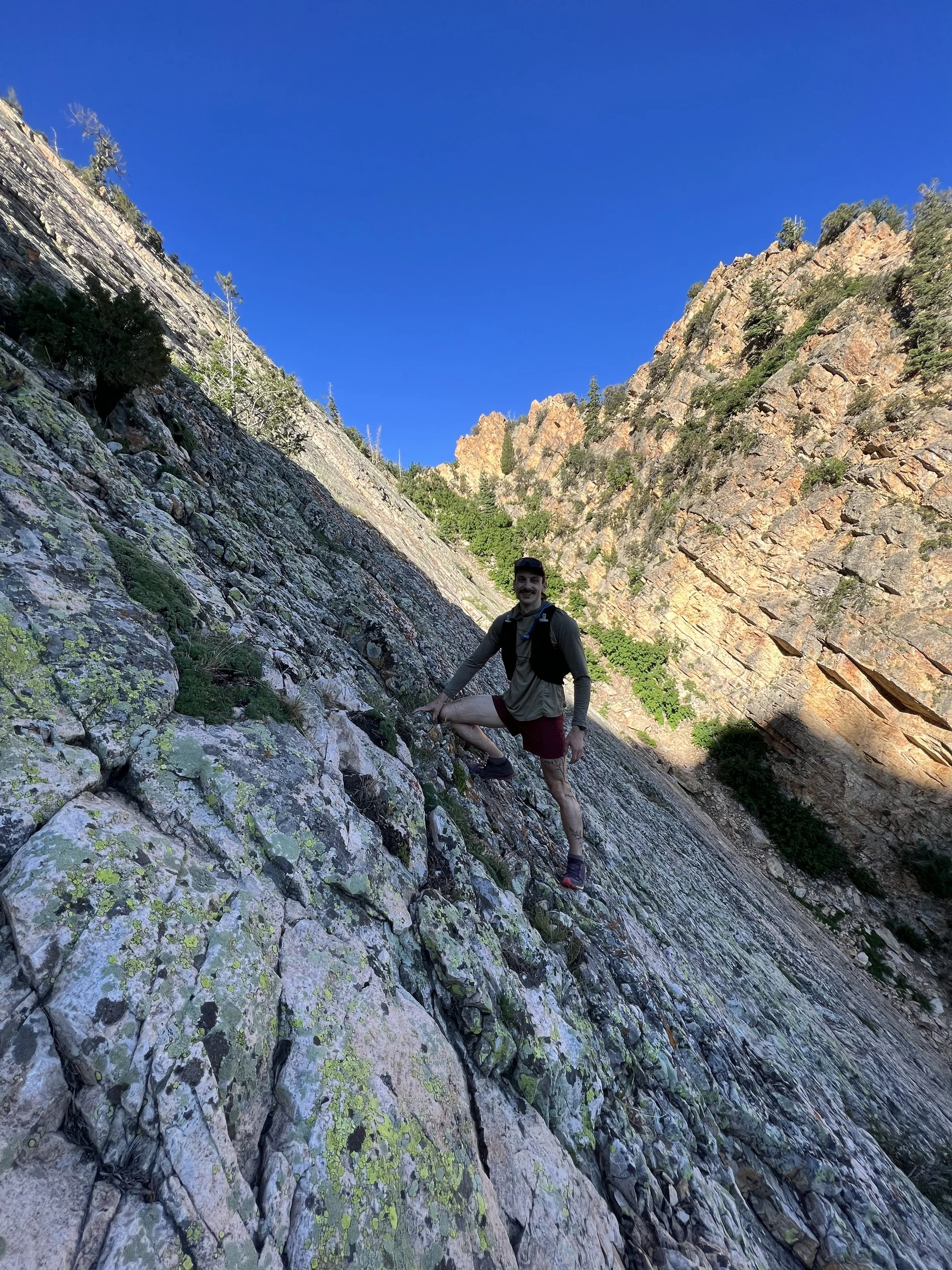
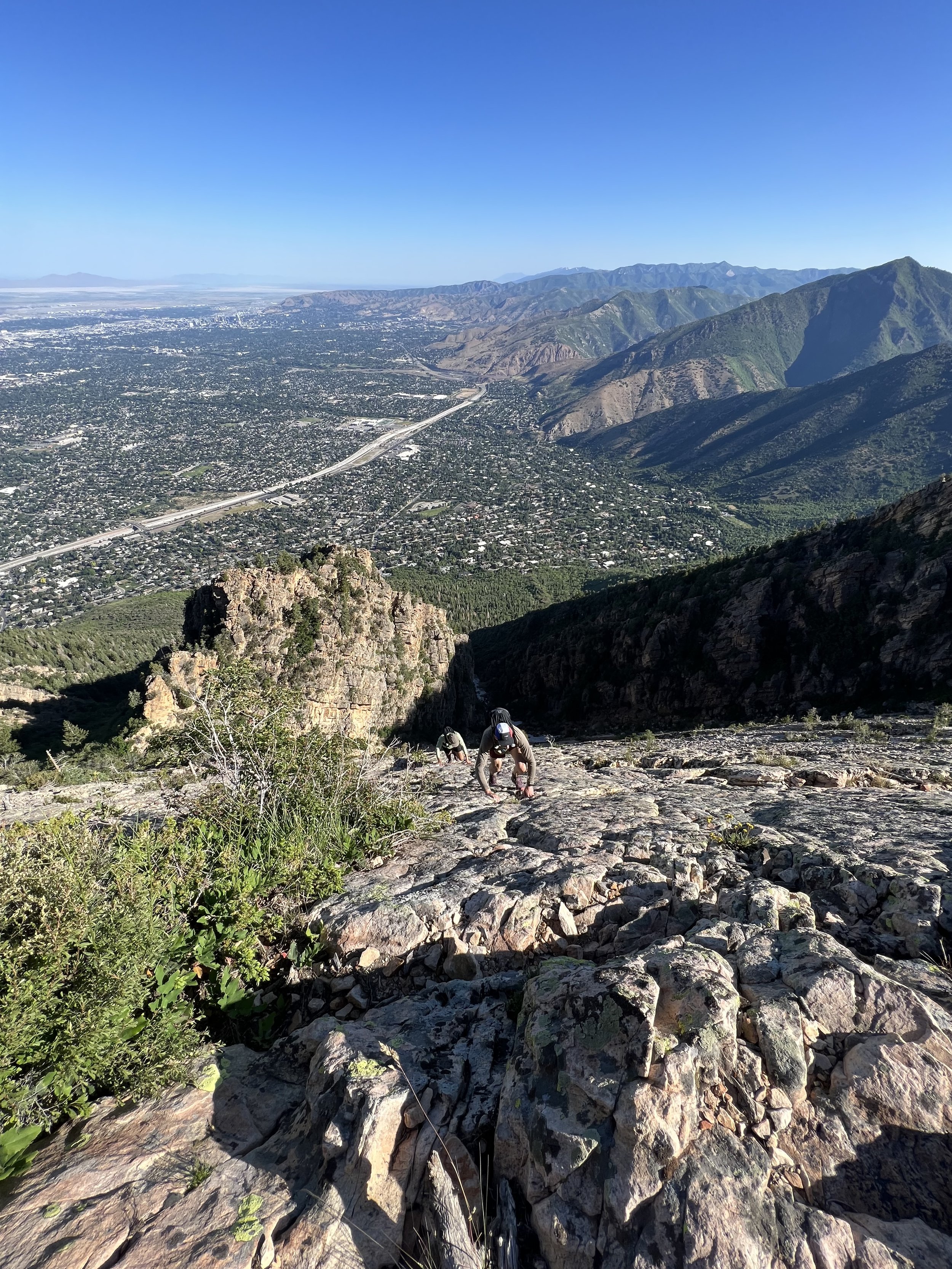
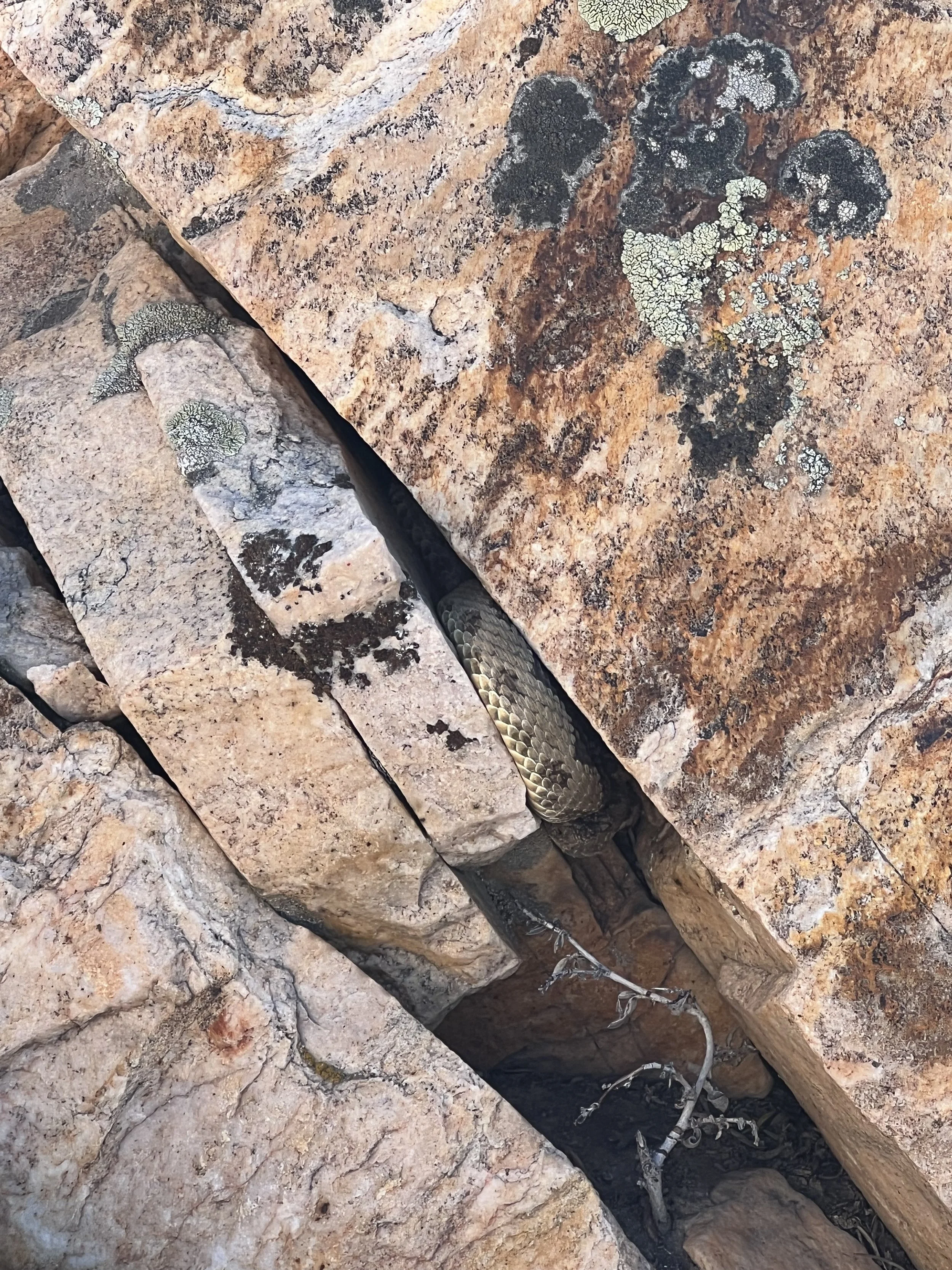
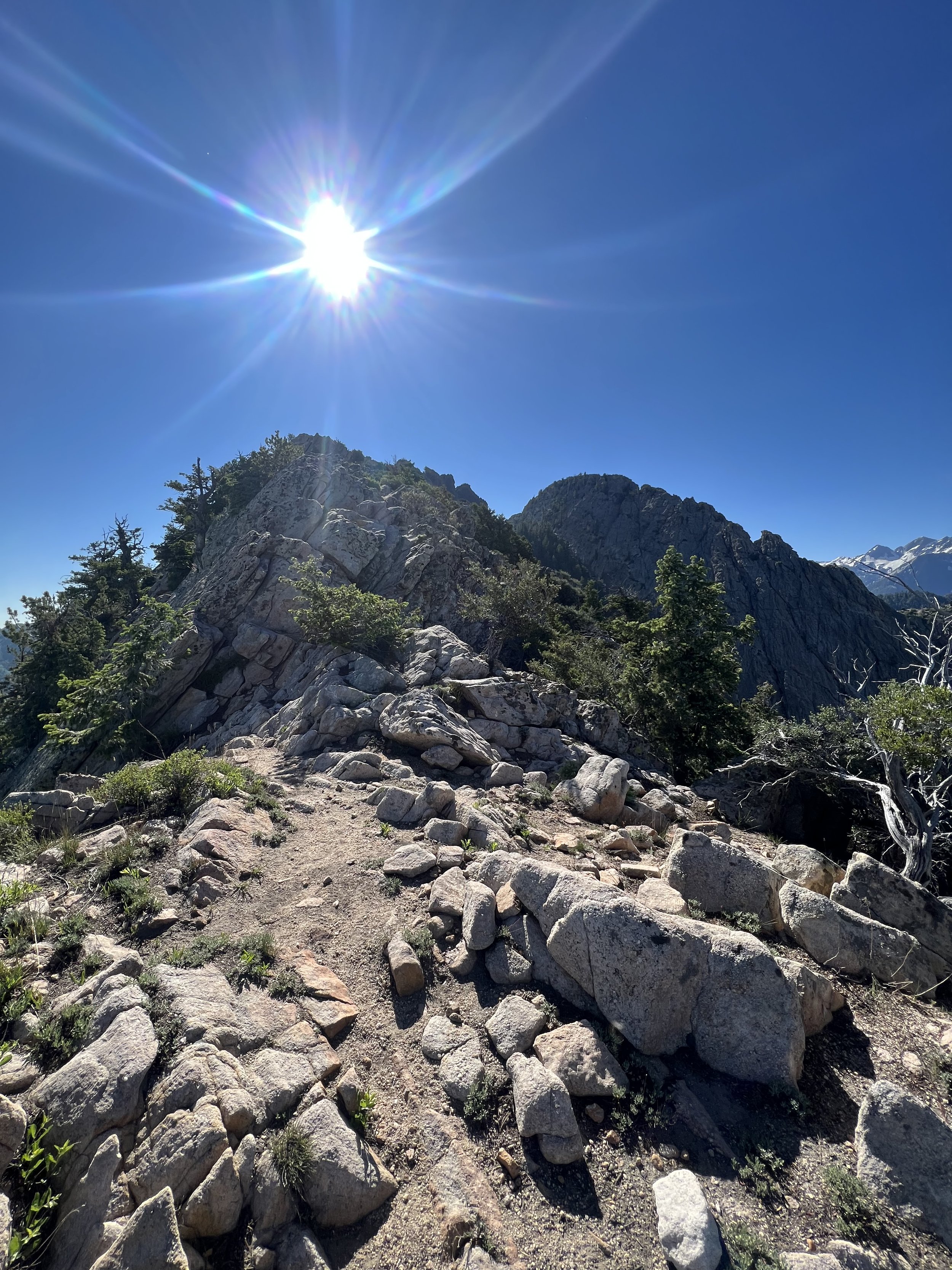
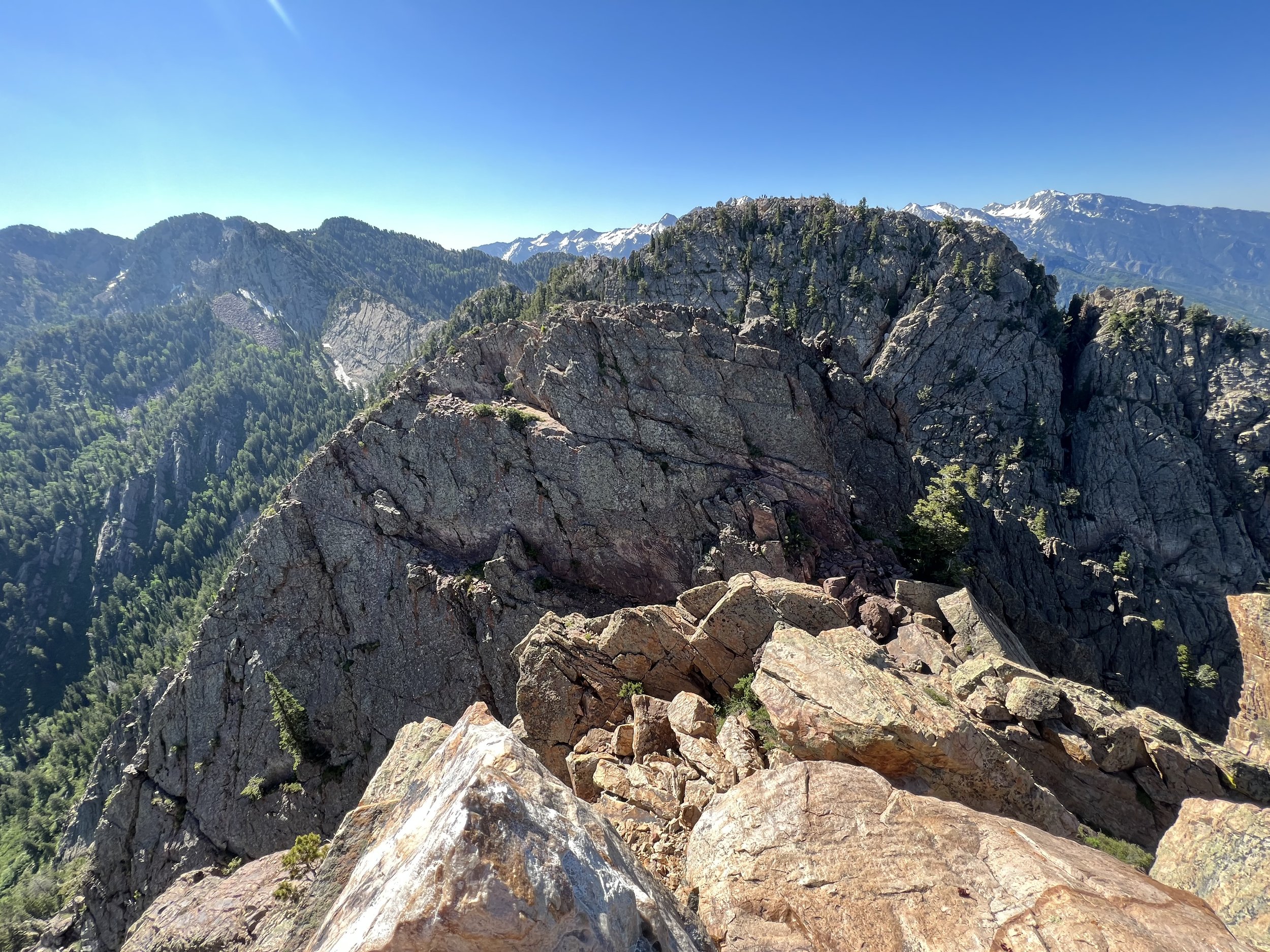
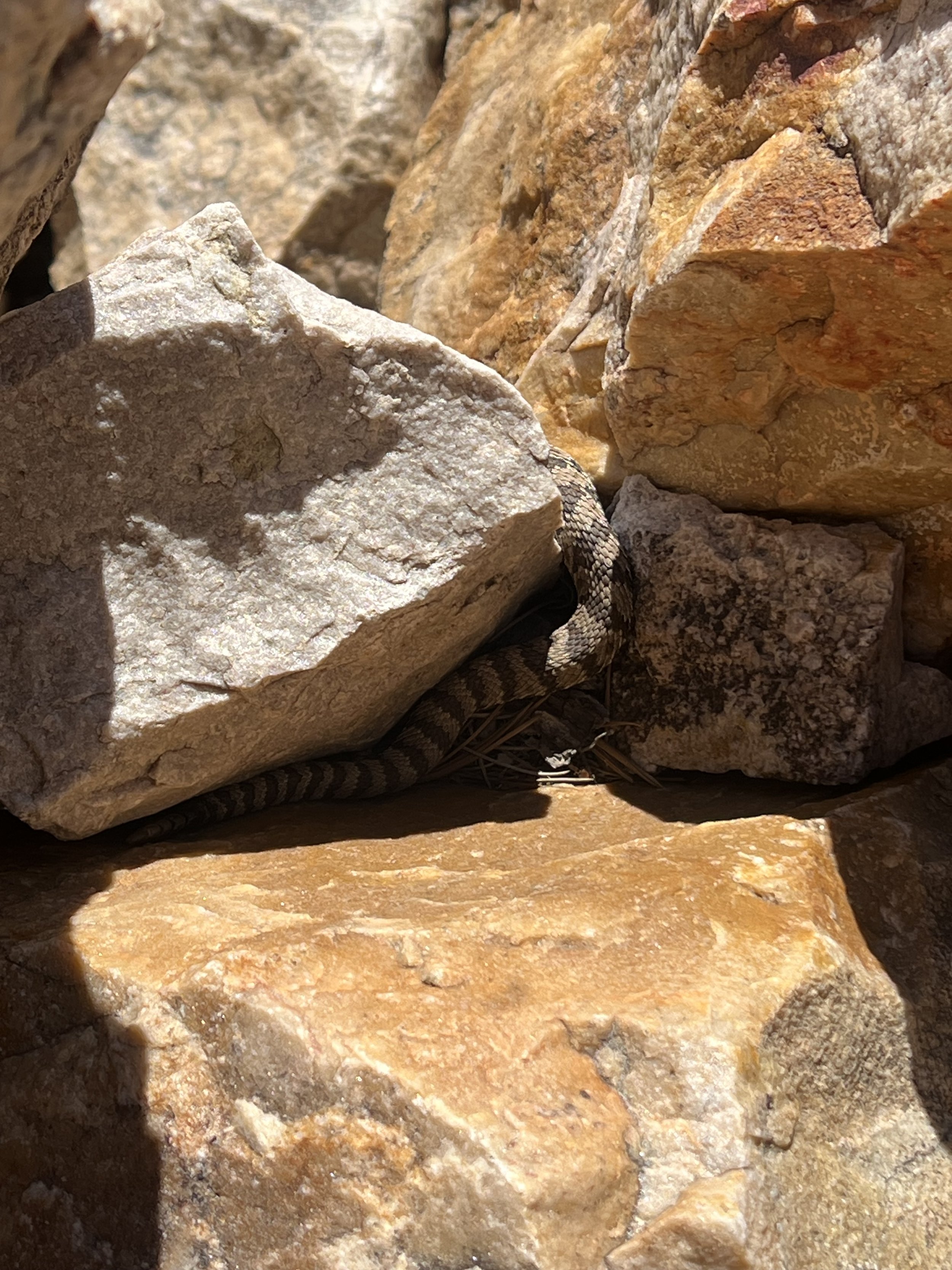
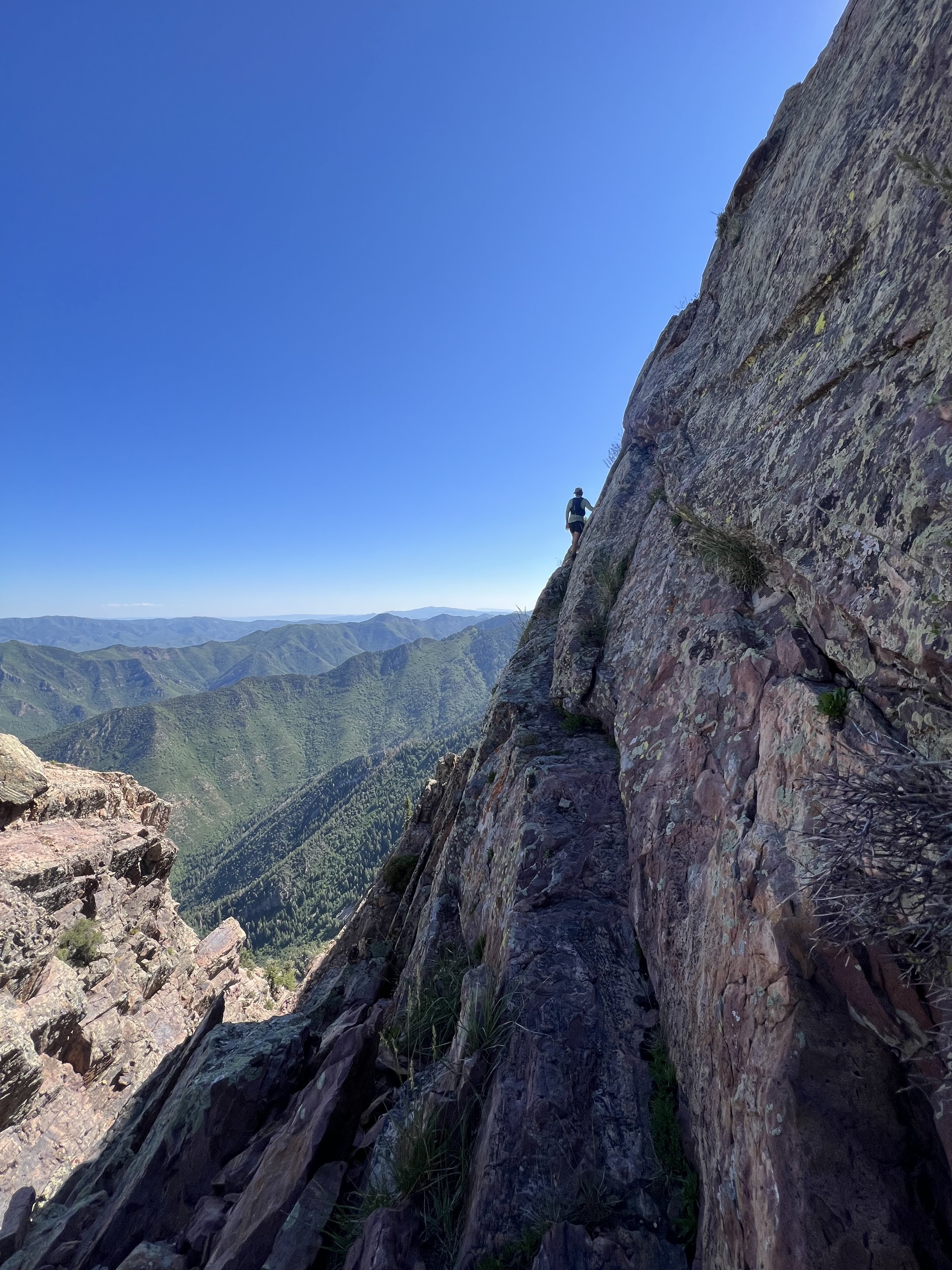
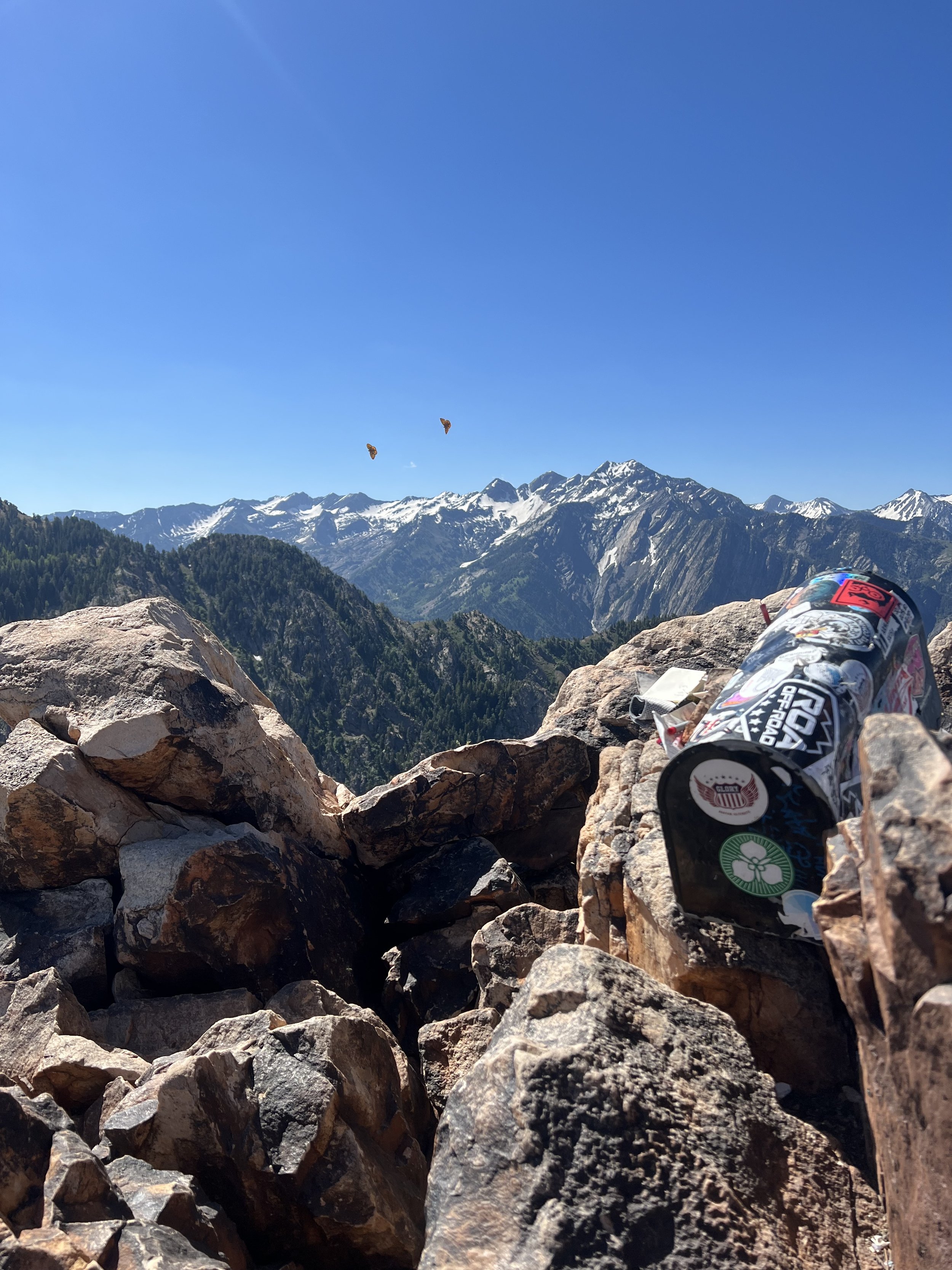
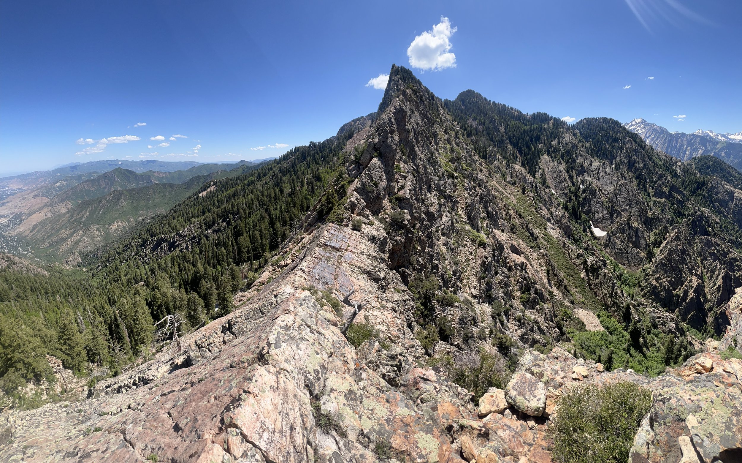
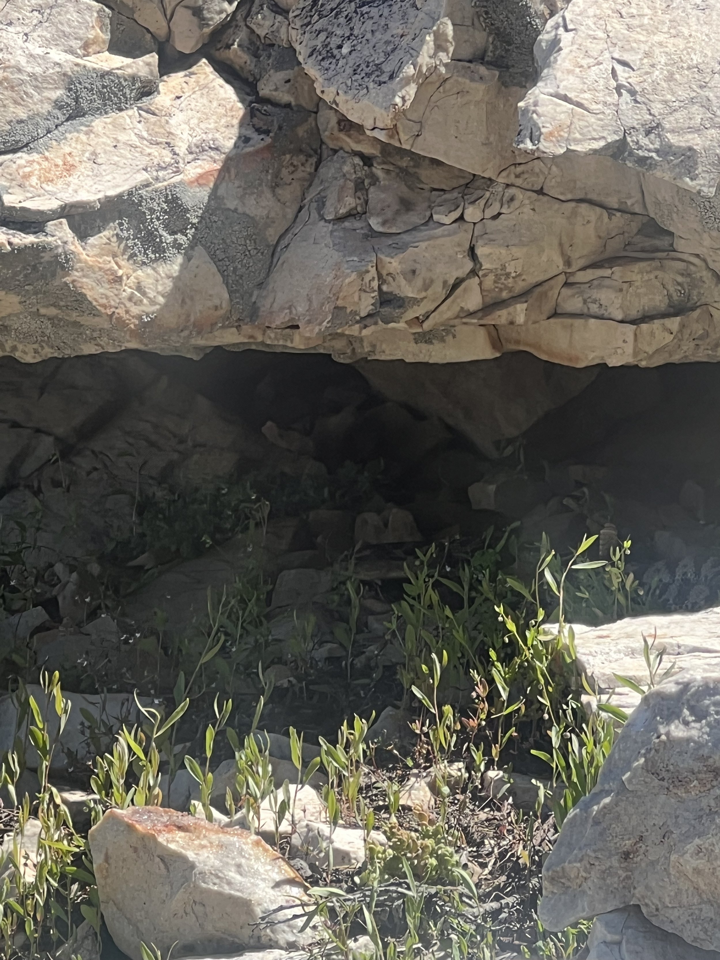
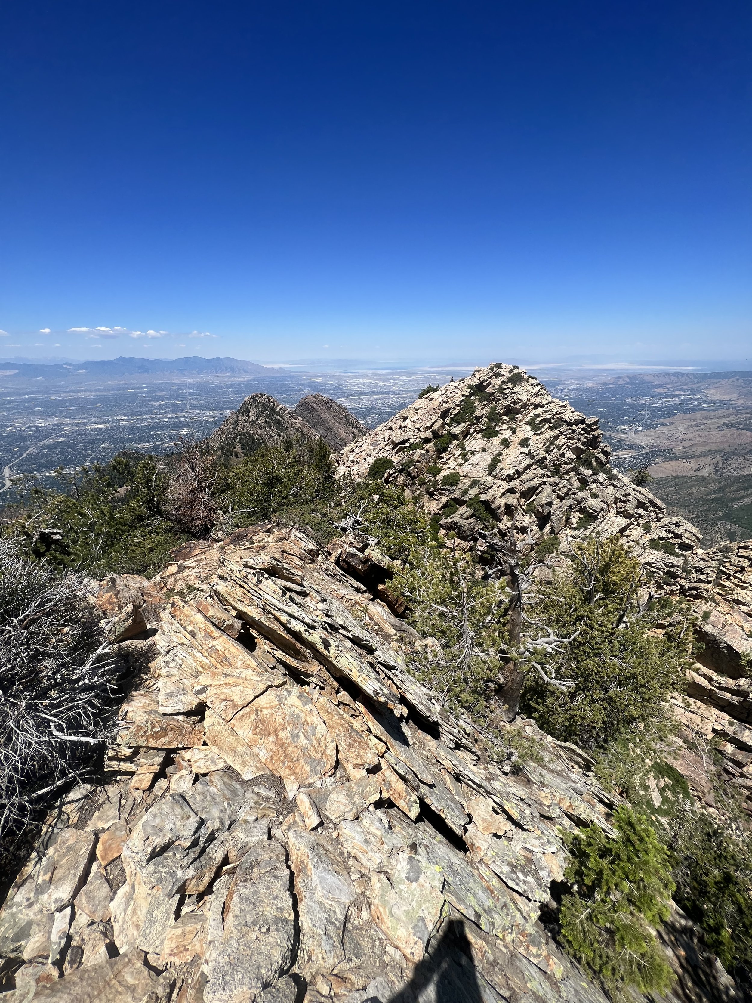
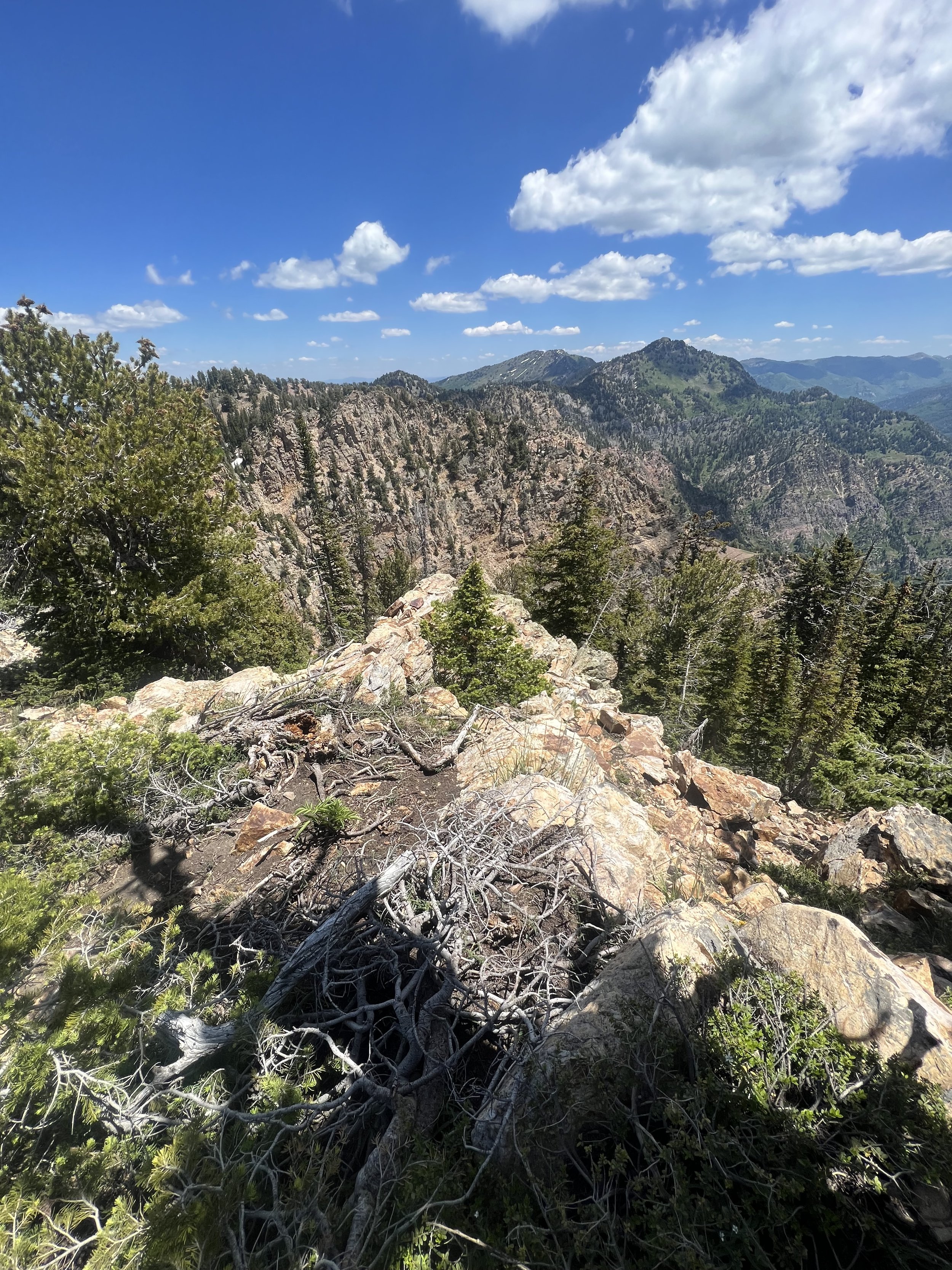
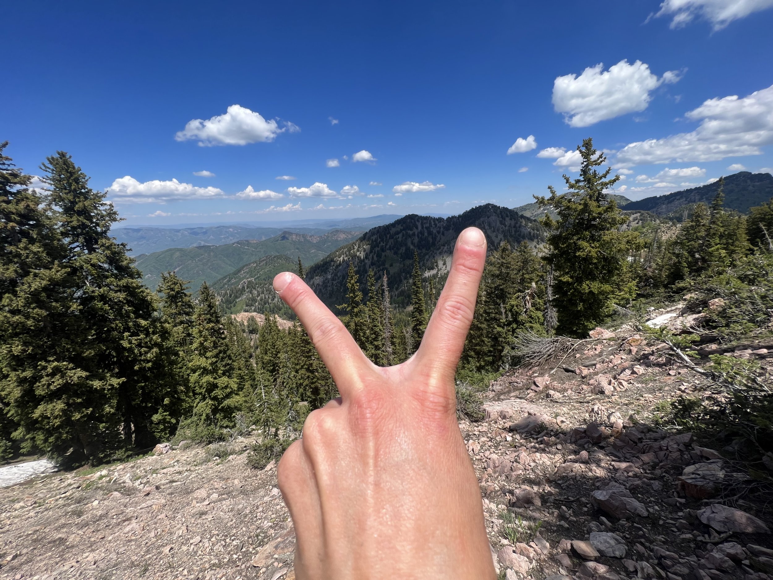
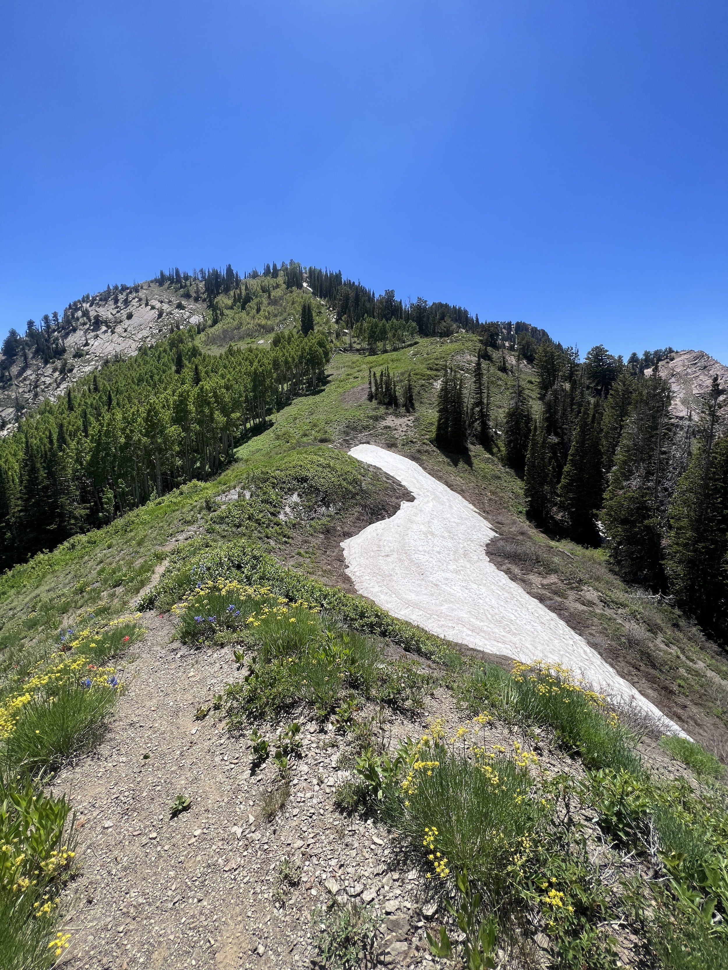
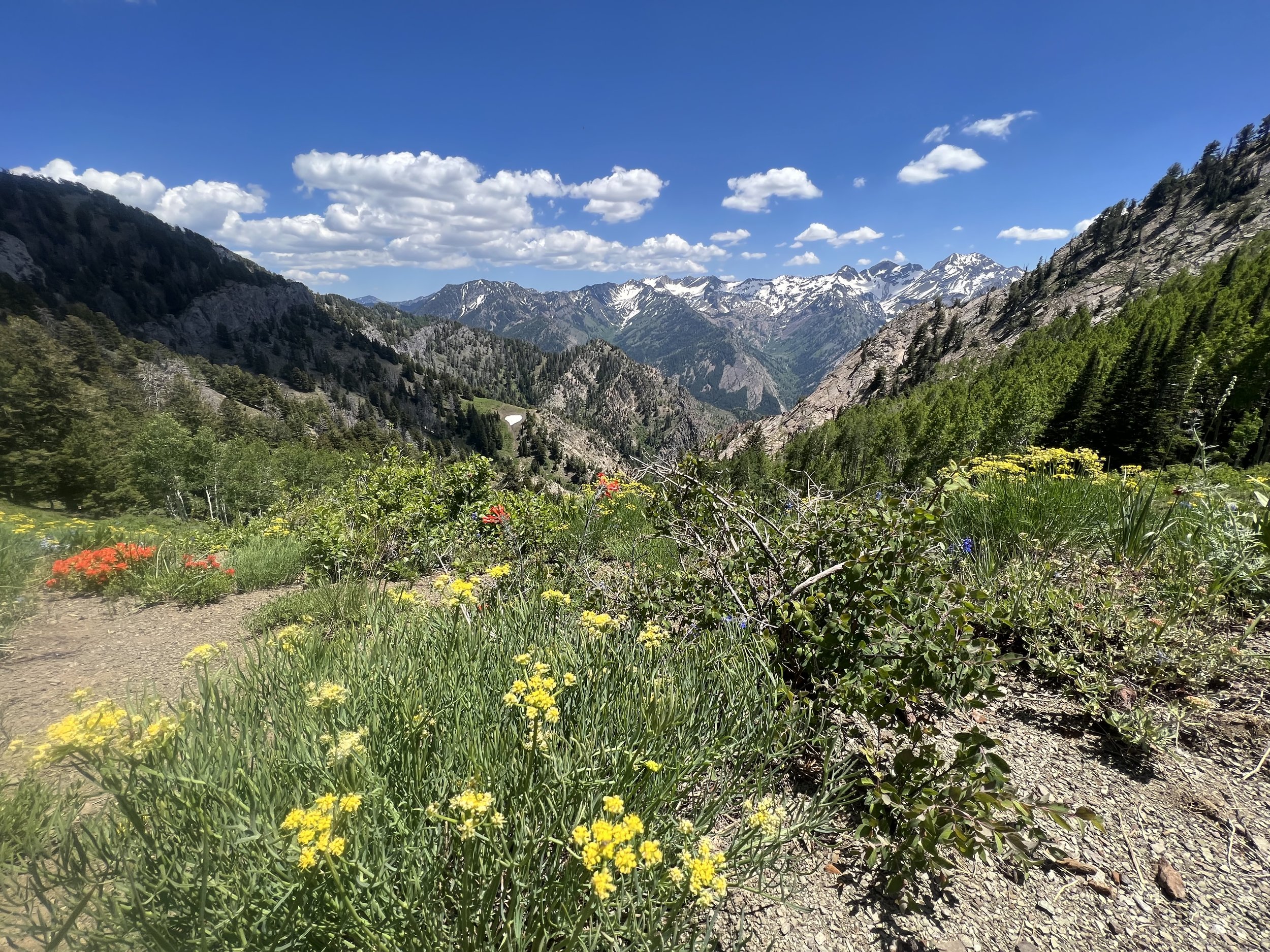
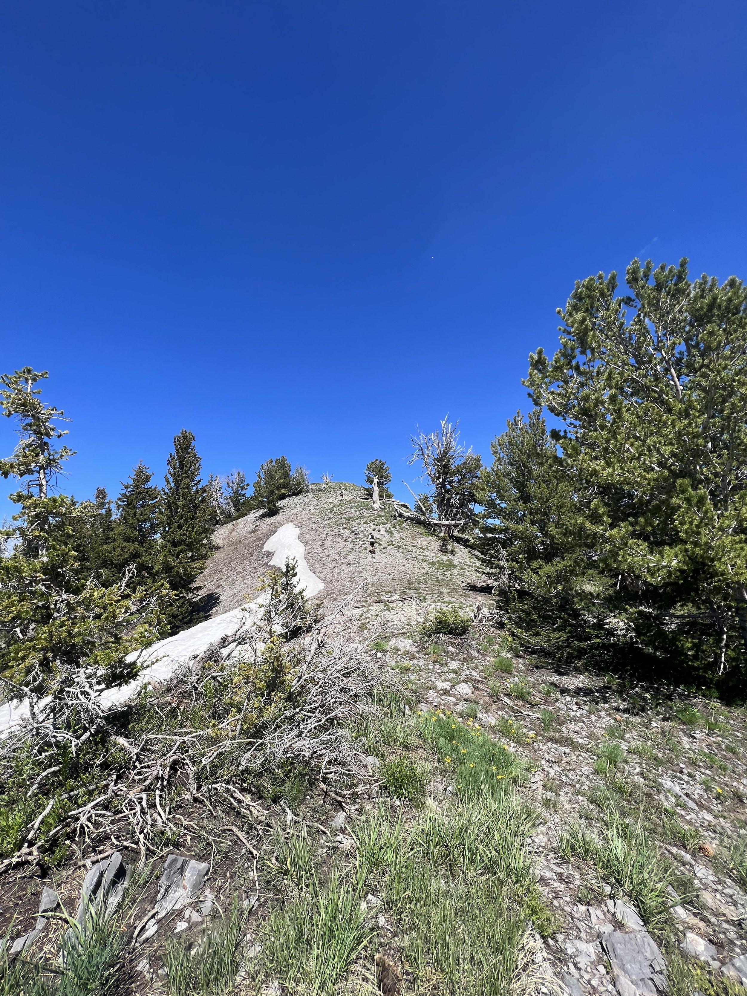
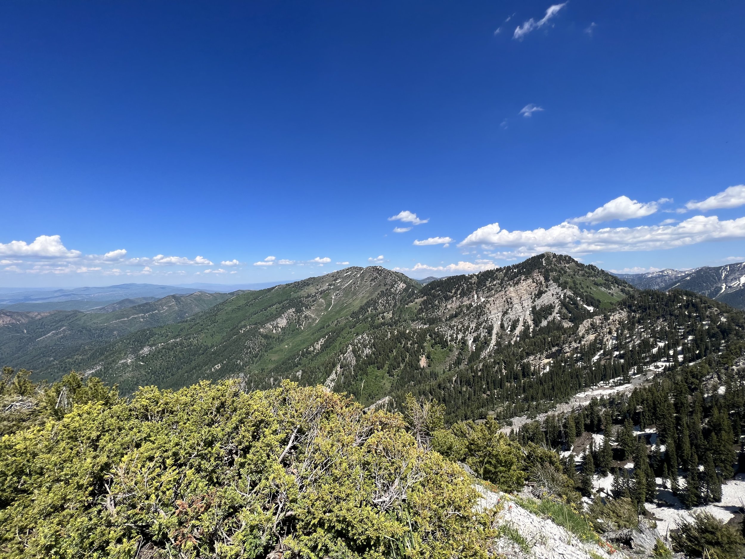
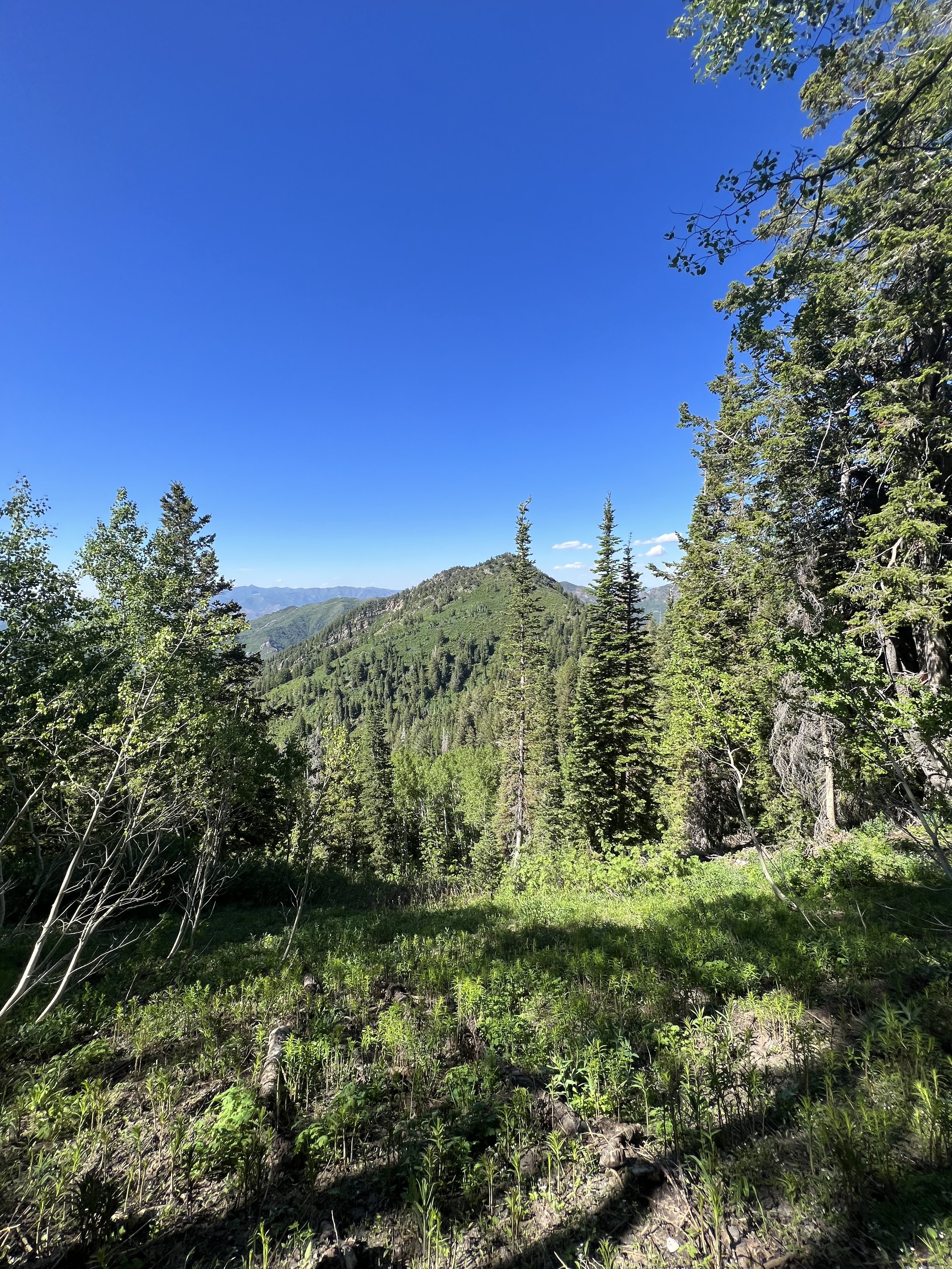
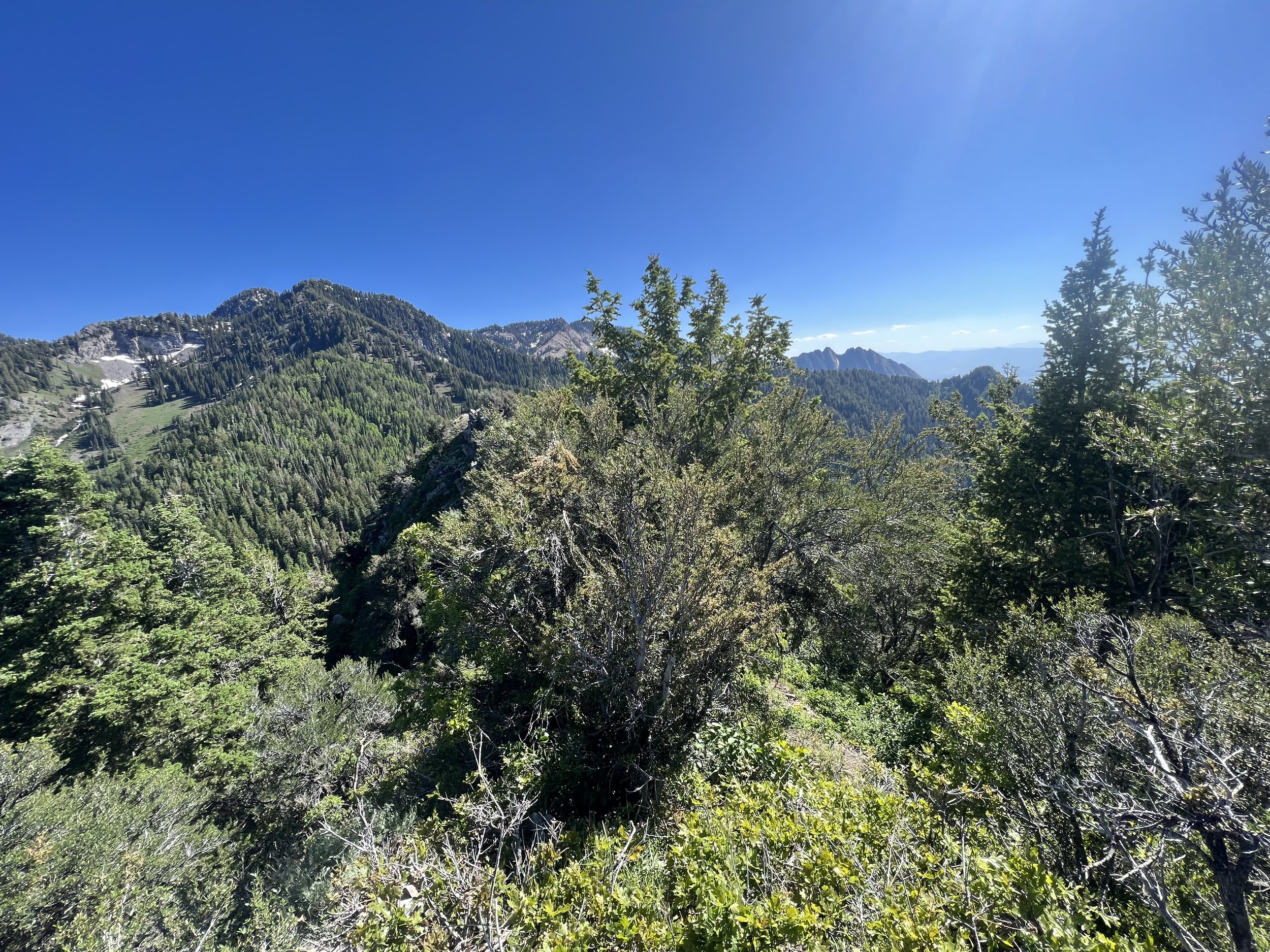
Summit 57 - Peak 7480 - June 29, 2023
A lesser traveled location, but quite lovely actually! I started from Emigration Canyon, at a trailhead just behind the Fire Station. The trail is quite mellow at the start, gaining elevation gradually for a half mile. It becomes much steeper as you near the mile mark, with the second mile feeling like a total butt kicker. The trail is narrow and rocky, with some slight growth, but I found it easy to follow all the way to the ridge.
Once on the ridge, the trail to the east becomes much more faint. With some experience reading trails and terrain, it’s not that difficult to find. I continued along the ridge working my way through some short treed sections and meadows. The high point of the ridge is obvious, and boasts really nice views into the canyon to the north. I was in need of some secondary beta for Black Mountain and was able to see fairly well over to the ridge and get an idea of what to expect. After a moment of studying, I flipped around and began to head back. The trail is much easier to find now that I know where to look—but isn’t that always the case on an out and back? The views looking back toward Emigration and Salt Lake were lovely. The steep trail was another challenge going down, and the sun was starting to get warm. Overall, I’d recommend for a short jog if you’re interested in a steep trail while not seeing other people. Or perhaps a beginner trail for bushwhacking.
Images below: Looking up at the trail as it starts to climb a decent amount, View from the ridge looking north at the Black Mountain ridge, 3 scenes of the bushy conditions, A snap from the summit looking east, Another pic looking north with Grandview Peak towering above all, Along the ridge looking west to the city, A lone Prickly Pear on the trail back down.
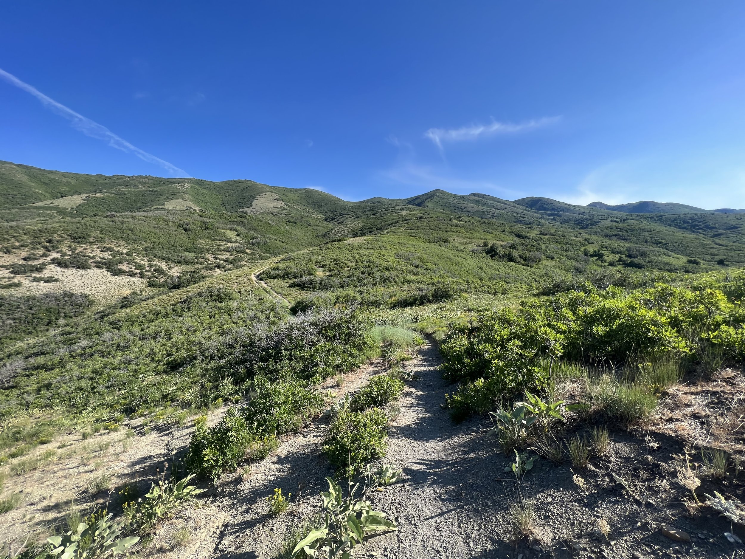
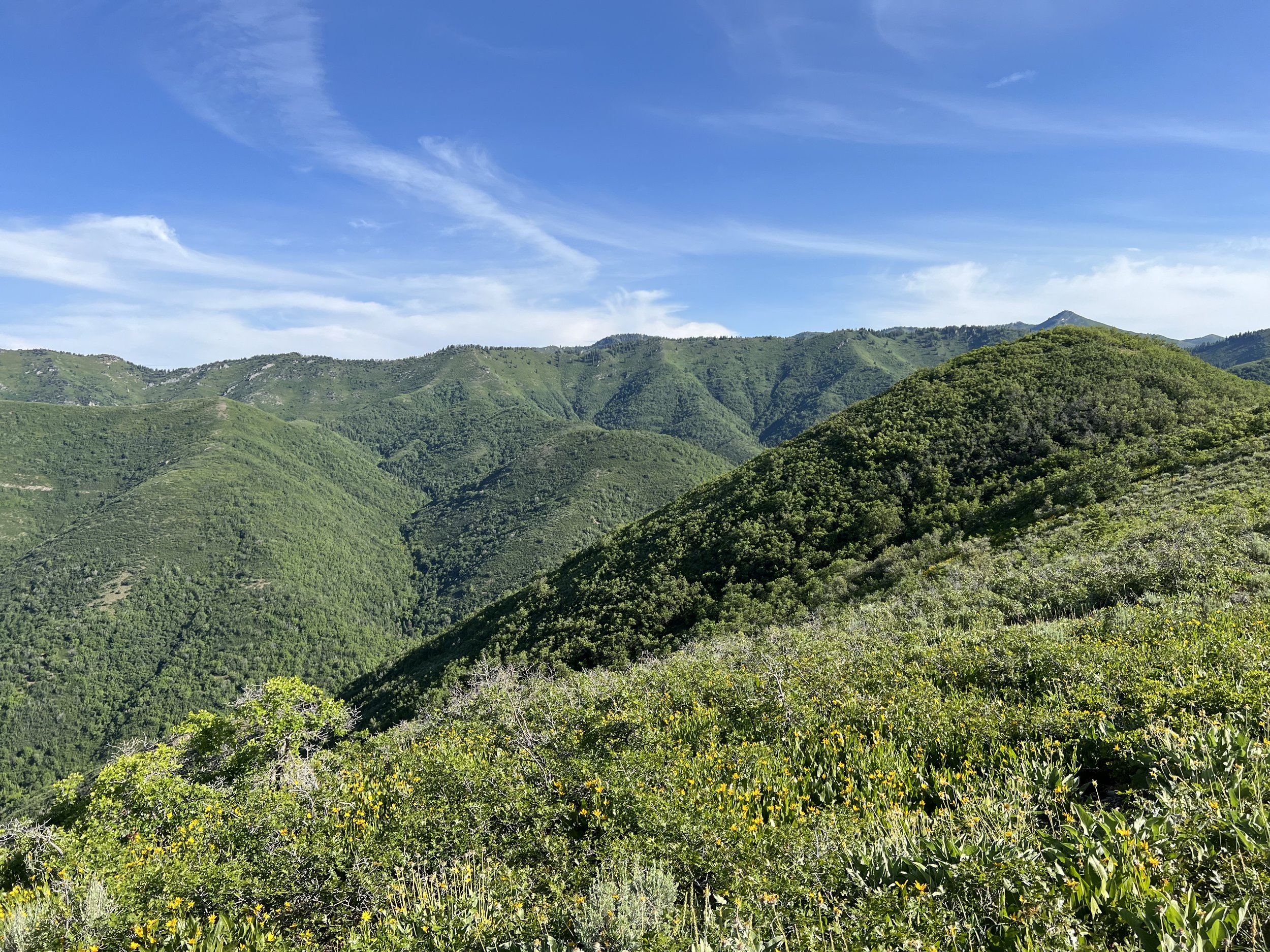
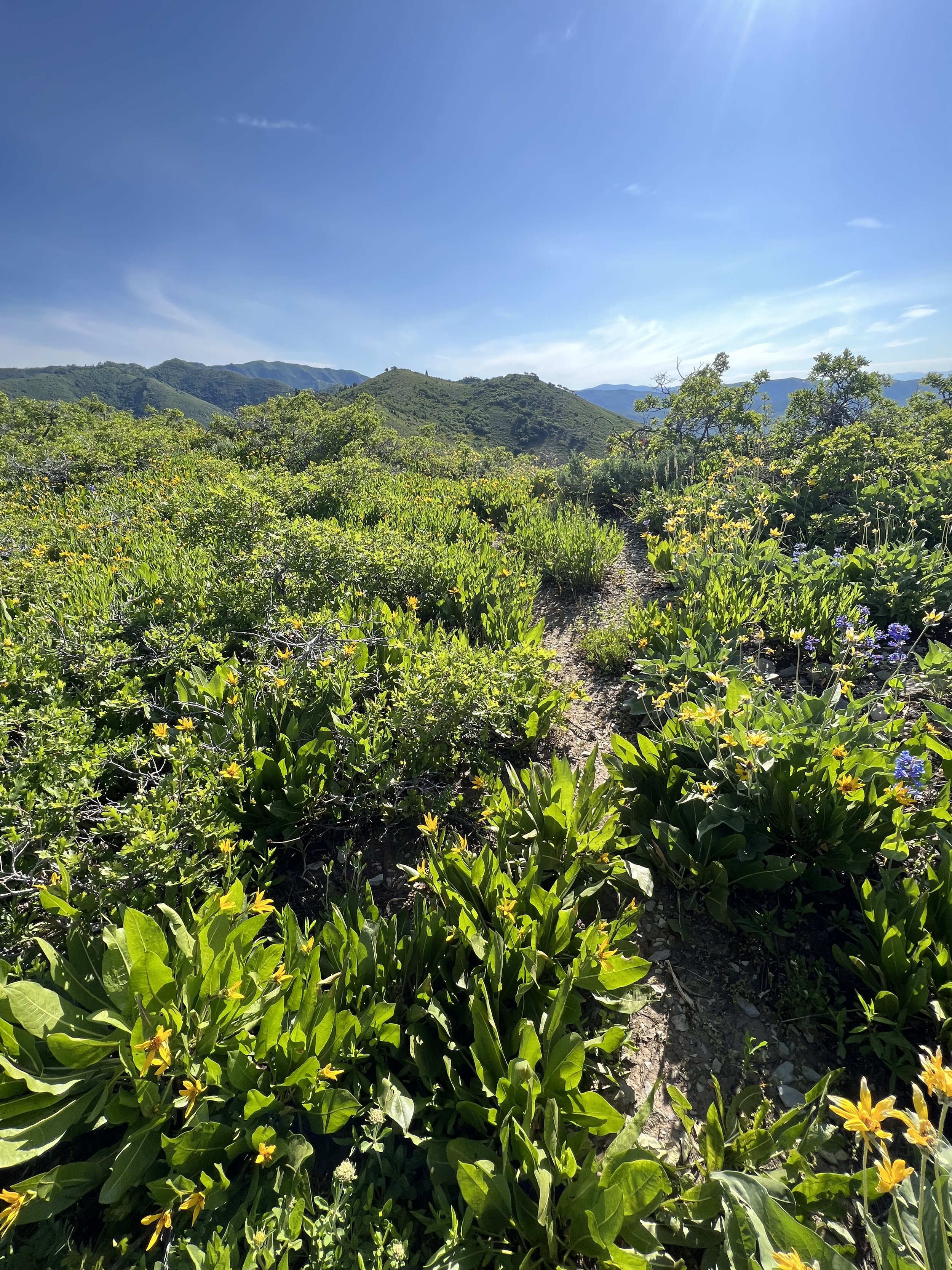
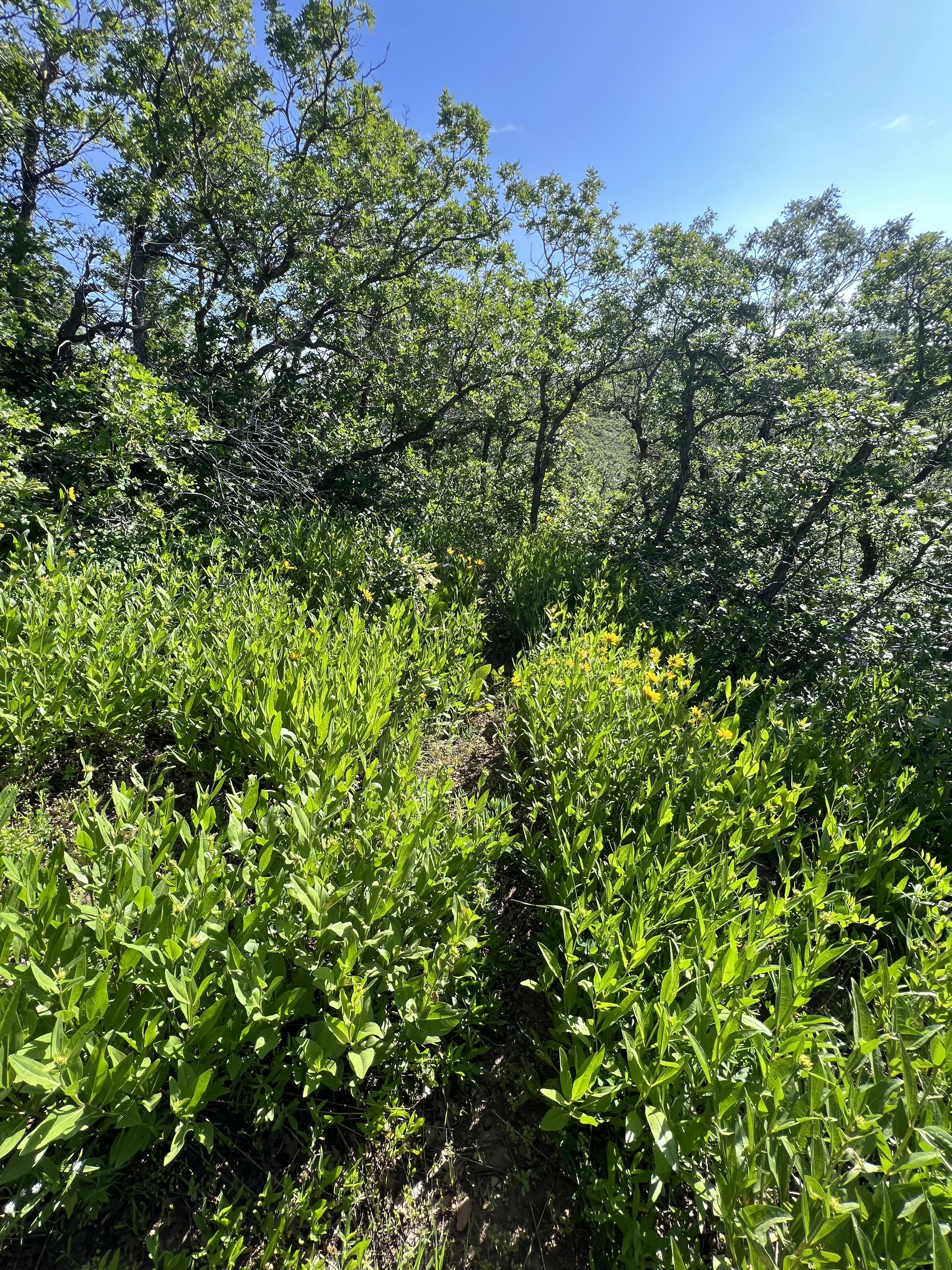
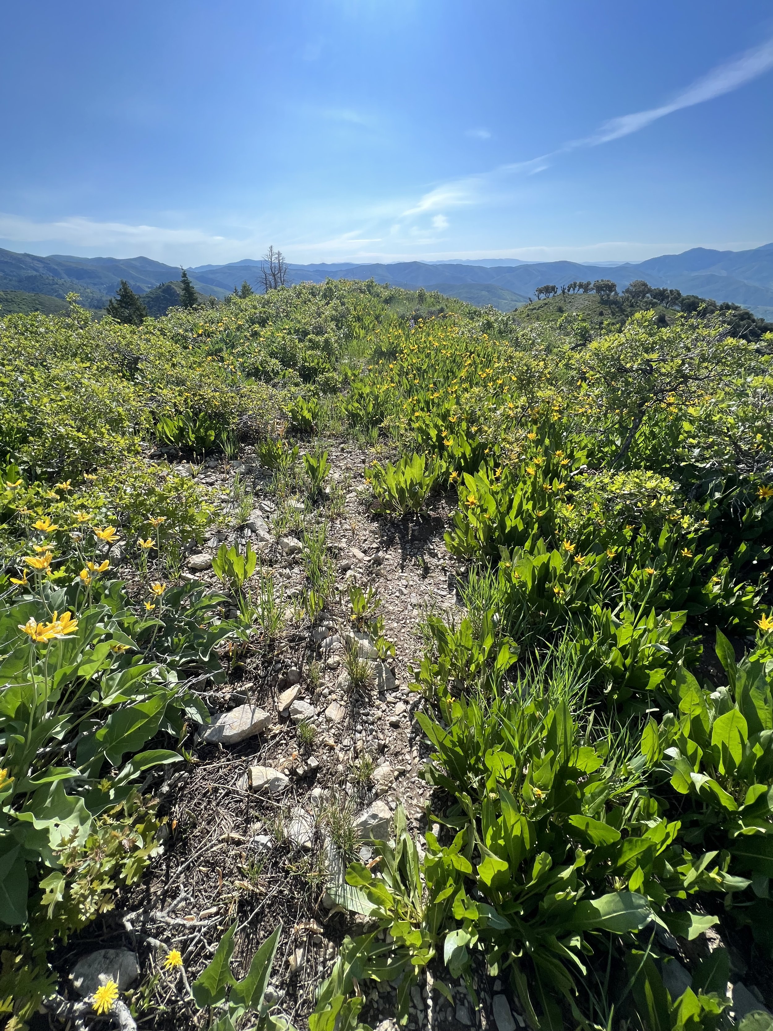
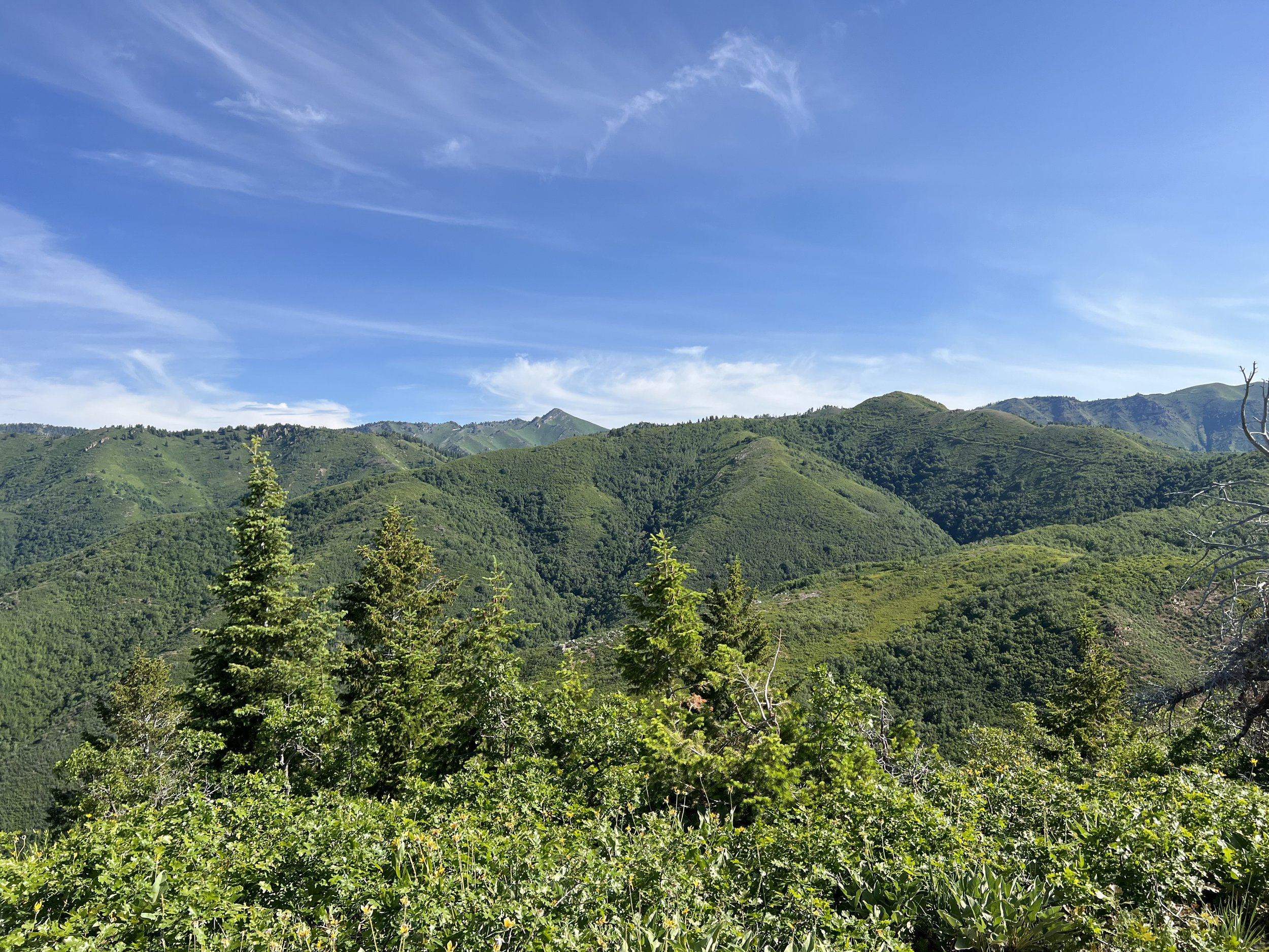
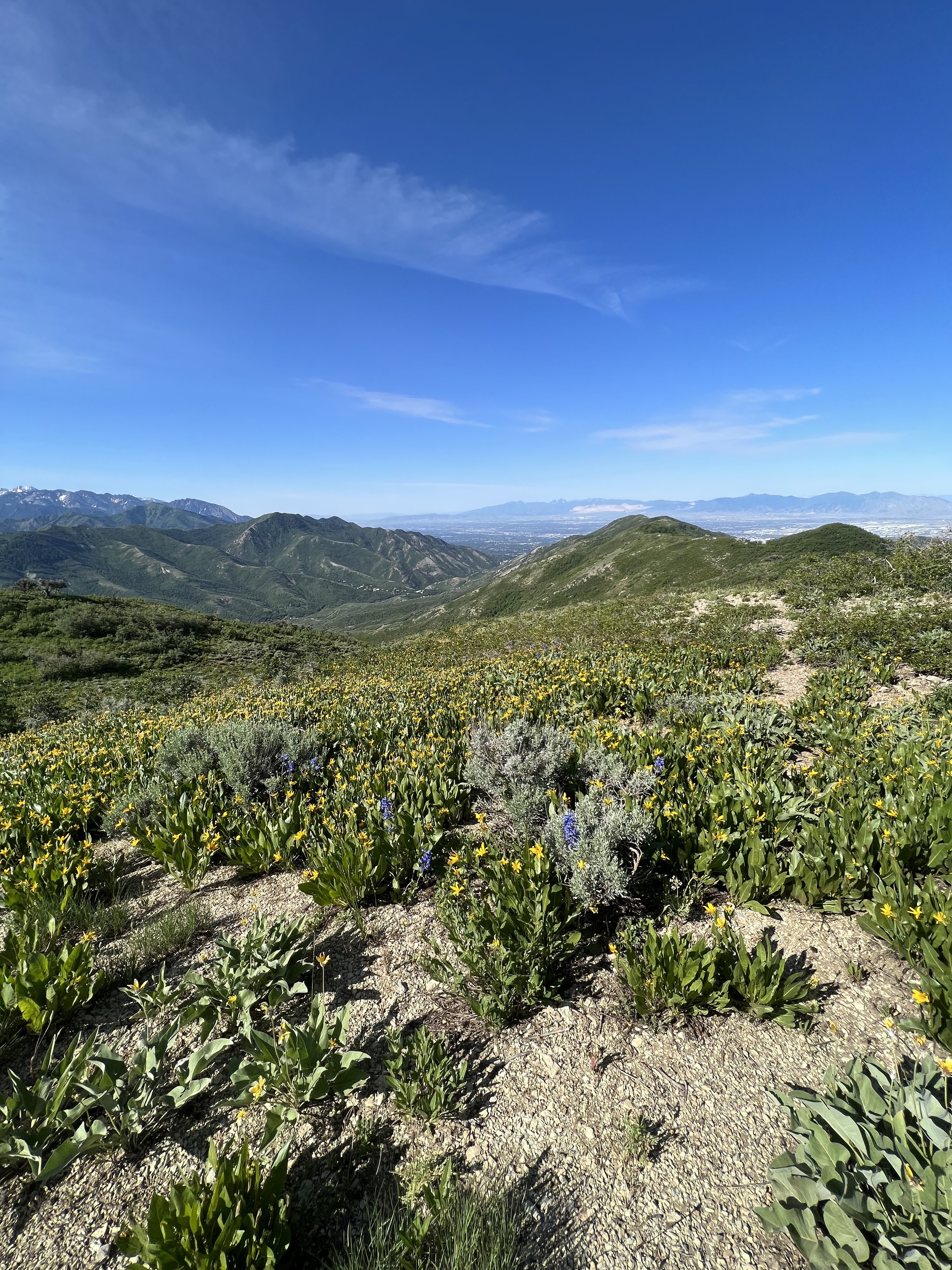
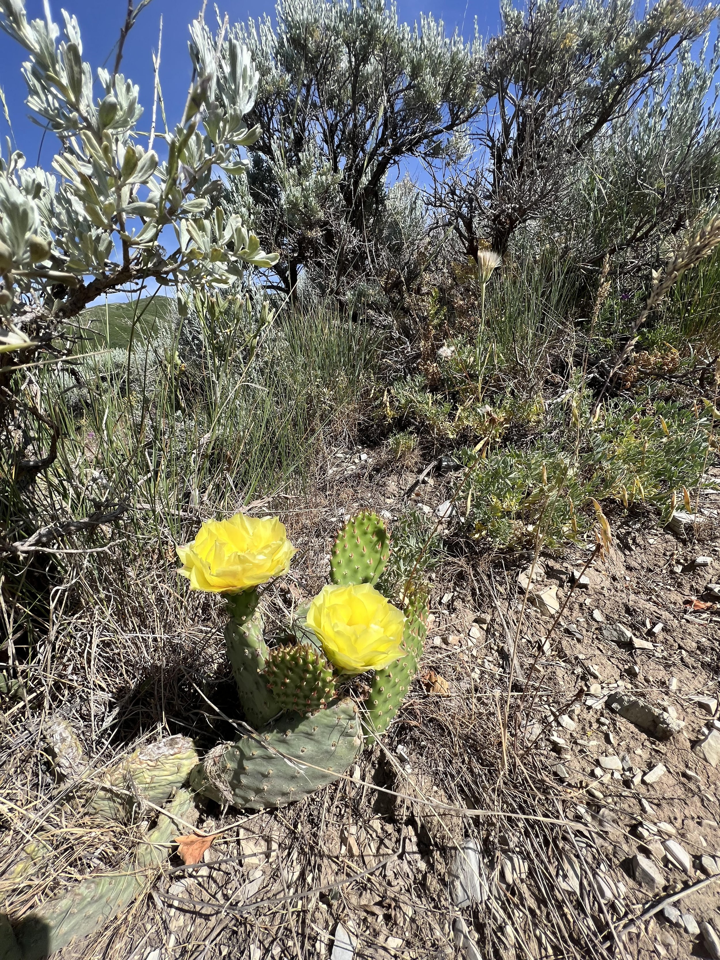
Summit 55-56 - Bald Mountain and Peak 7779 - June 27, 2023
After a long day of work, and a lack of sleep, this one took a lot of extra effort.
I drove up to Big Mountain Summit where the trail begins, chugged as much water as I could to hopefully hydrate enough to forgo bringing water with me, and tried to convince myself I could in fact do this one. The route to summit both peaks is 12.5 miles, which will be the longest I’ve run in one go since breaking my ankle. While that distance isn’t usually a challenge for me, the back to back big weeks of mileage and vert, along with less than ample time for sleep, made for a very foggy brain and tired body. Nonetheless, I tightened my shoes, clicked my watch on, and set off south toward the Bald Mountain summit.
What I will say about this trail is that it is both phenomenal and tedious.
The growth is a bit of a nuisance. Low branches, fallen trees, and shrubs growing over the trail making it hard to see well enough to move quick. Not to mention the amount of itching involved when ankles to shoulders are brushing against a plethora of plants seemingly every 30 seconds. But this lushness is what ultimately makes this trail a vibrant experience overall, so I’ll leave it at that.
The views change from a forest, to blooming meadow, to open and rocky knolls, then repeat.
The hills are punchy, but short.
The trail itself leans more toward the technical side.
Most people seem to enjoy just the Bald Mountain portion as an out and back, or add this section to a long loop since the trail continues around to Jeremy Ranch (a popular running/biking area). I only added the Peak 7779 to this out and back since the southern end of trail near that Summit are plastered with Private Property signs. I guess someone built a house and restricted access to the trails just beyond it.
At around 3.5 miles I crested Bald Mountain and was rather impressed with the views here. It has the feel of a big hill, but boasts a vantage point to the reservoir below, Big Mountain to the north, and some of the high summits of Millcreek and Big Cottonwood Canyons to the south. I continued on, where the trail becomes more rocky and overgrown. Meandering along mini ridges, and into thicker brush as I approached Peak 7779. This summit was still in bloom, and had some interesting geology at the top. The views were pleasant, but I think Bald Mountain takes the cake for this one. After a moment of reflection, and slight denial of the fatigue I was already feeling at 6.25 miles, I flipped around and headed back. I summited Bald Mountain again in the process, became utterly exhausted around mile 10, and just tried to enjoy the views a few more times before reaching the car. All in all, I’d recommend the Bald Mountain trail to anyone looking for a pleasant, late-spring jaunt.
Images below: A white columbine seen earlier on the trail, Cresting the first hill with a faint view of Bald Mountain in the distance, Just another view of the trail since the views were so nice, One of the forest sections that felt very serene, The summit of Bald Mountain looking east toward the reservoir, Picking out Peak 7779 from the summit of Bald Mountain, From the summit of Peak 7779, View of Bald Mountain on the way back (heading north), Joanie’s Meadow (certainly the best part of this entire trail).
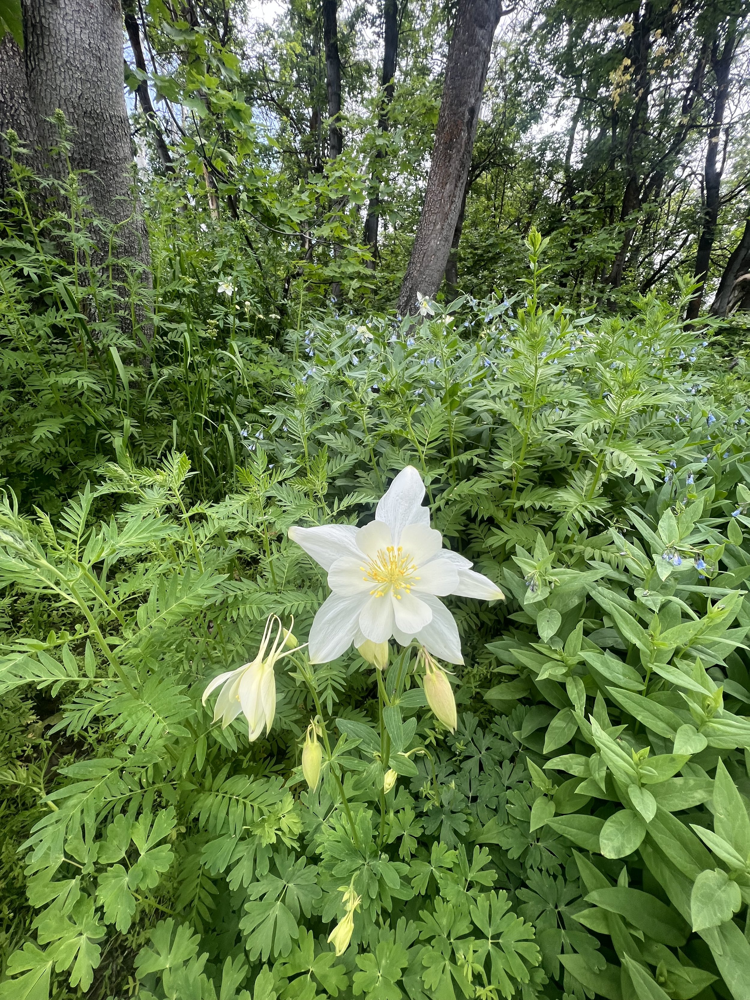
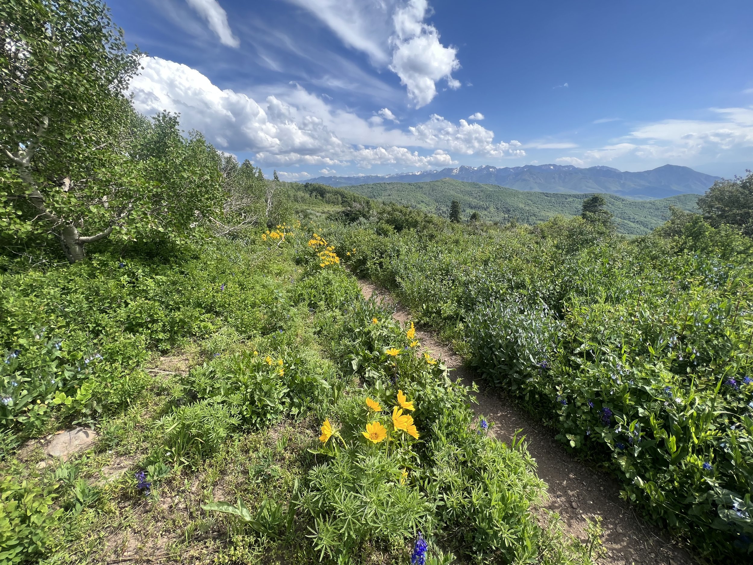
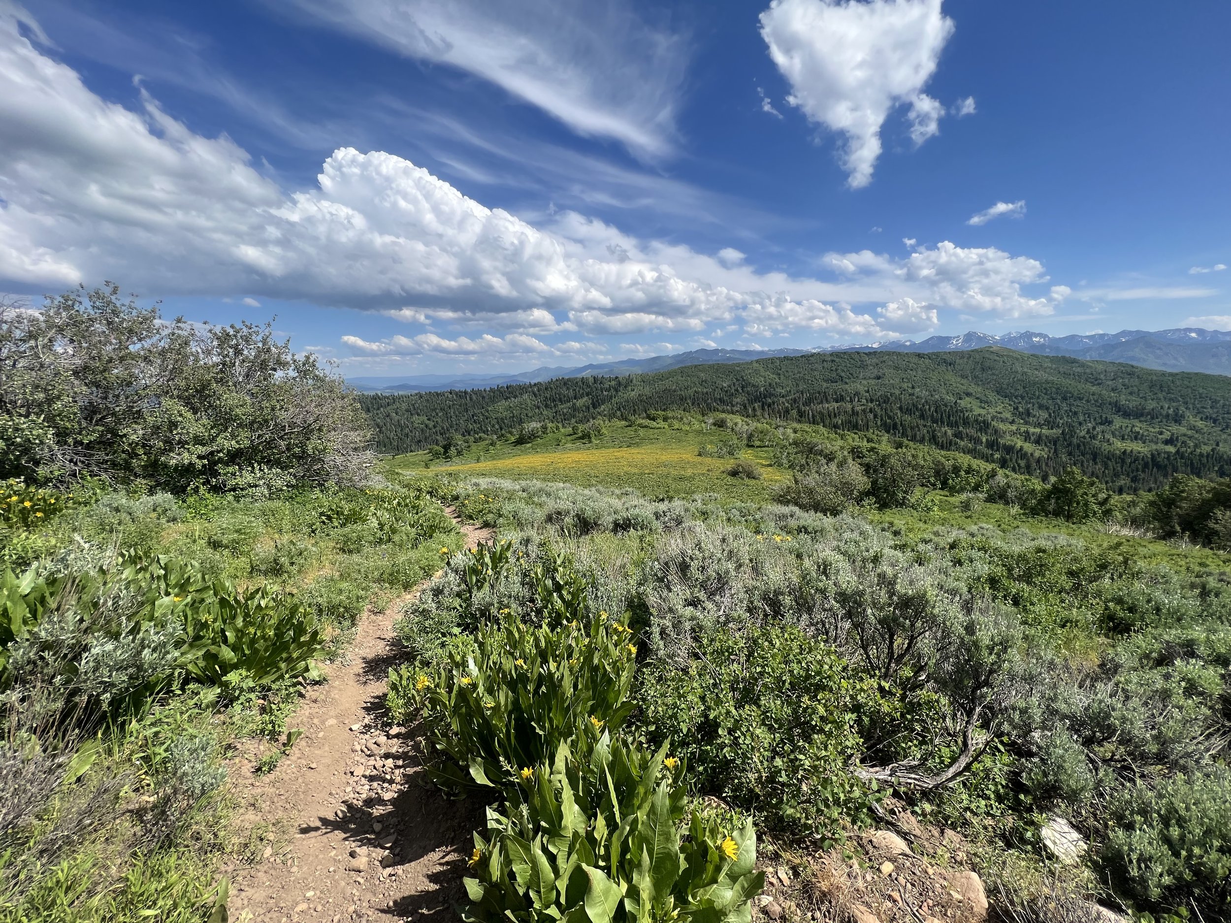

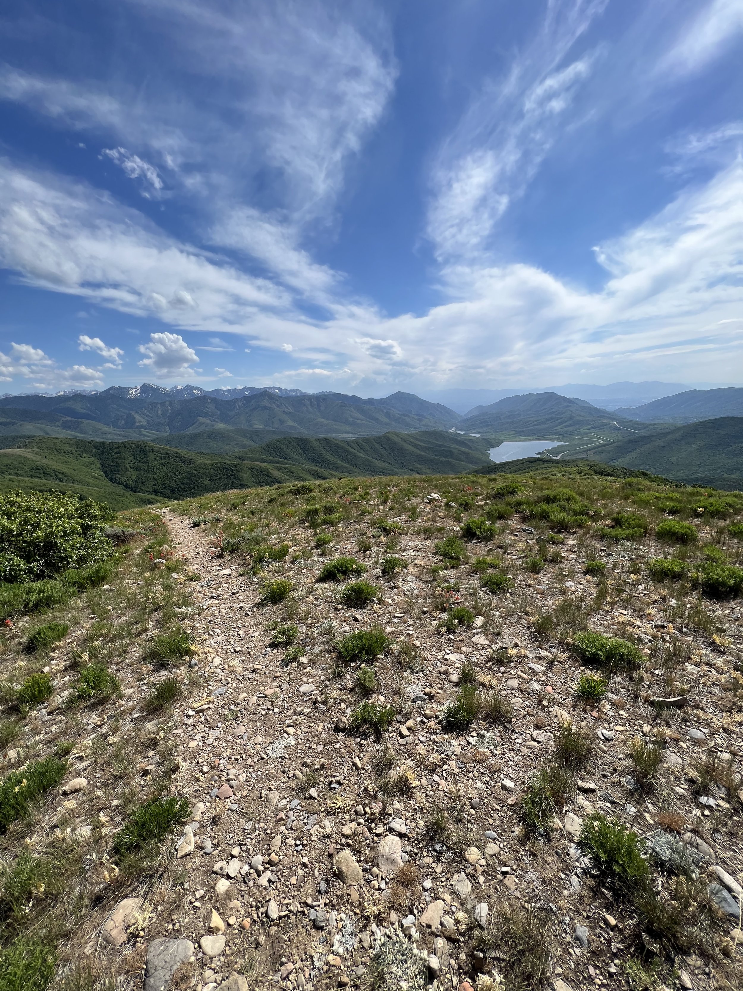
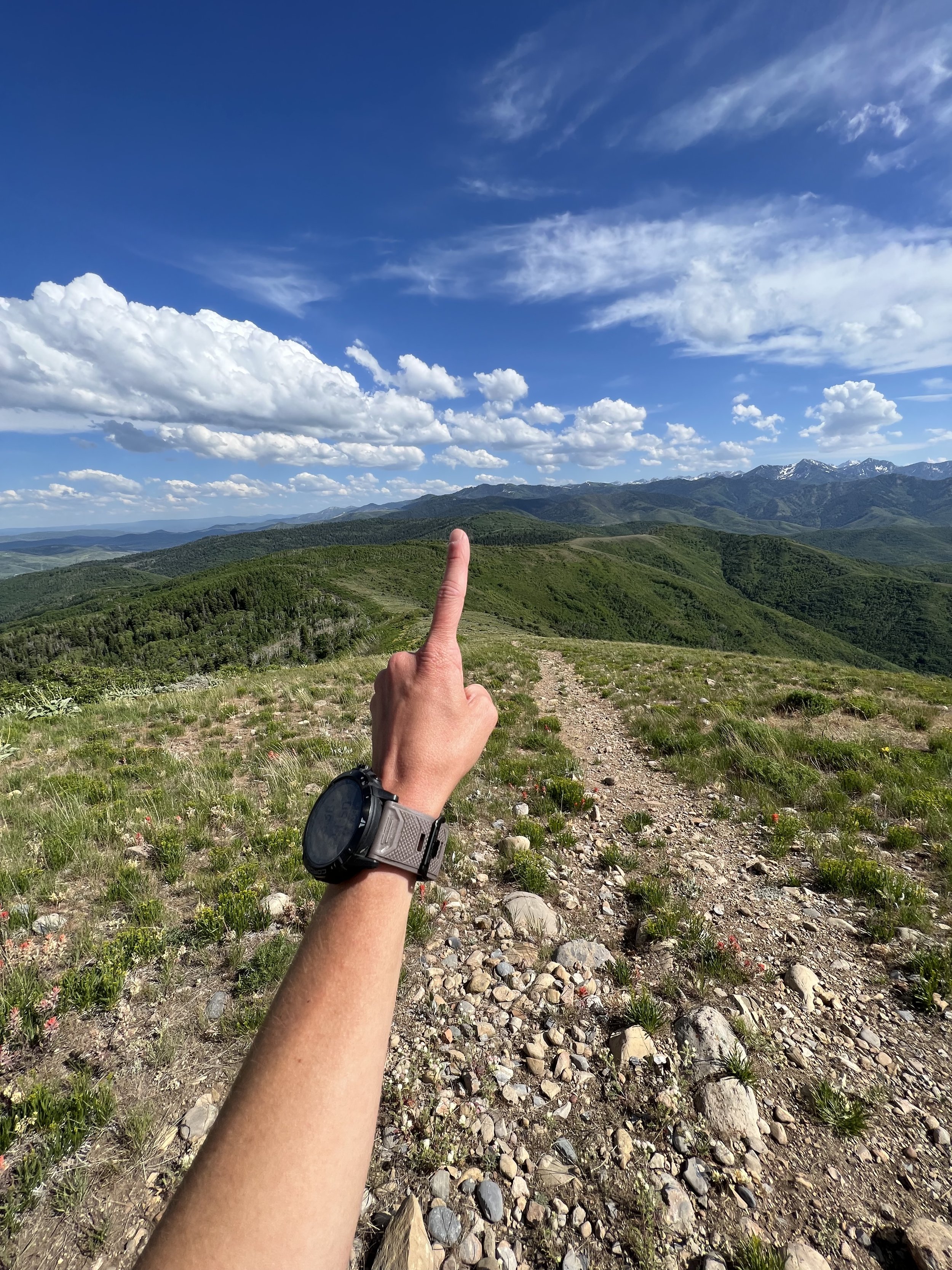
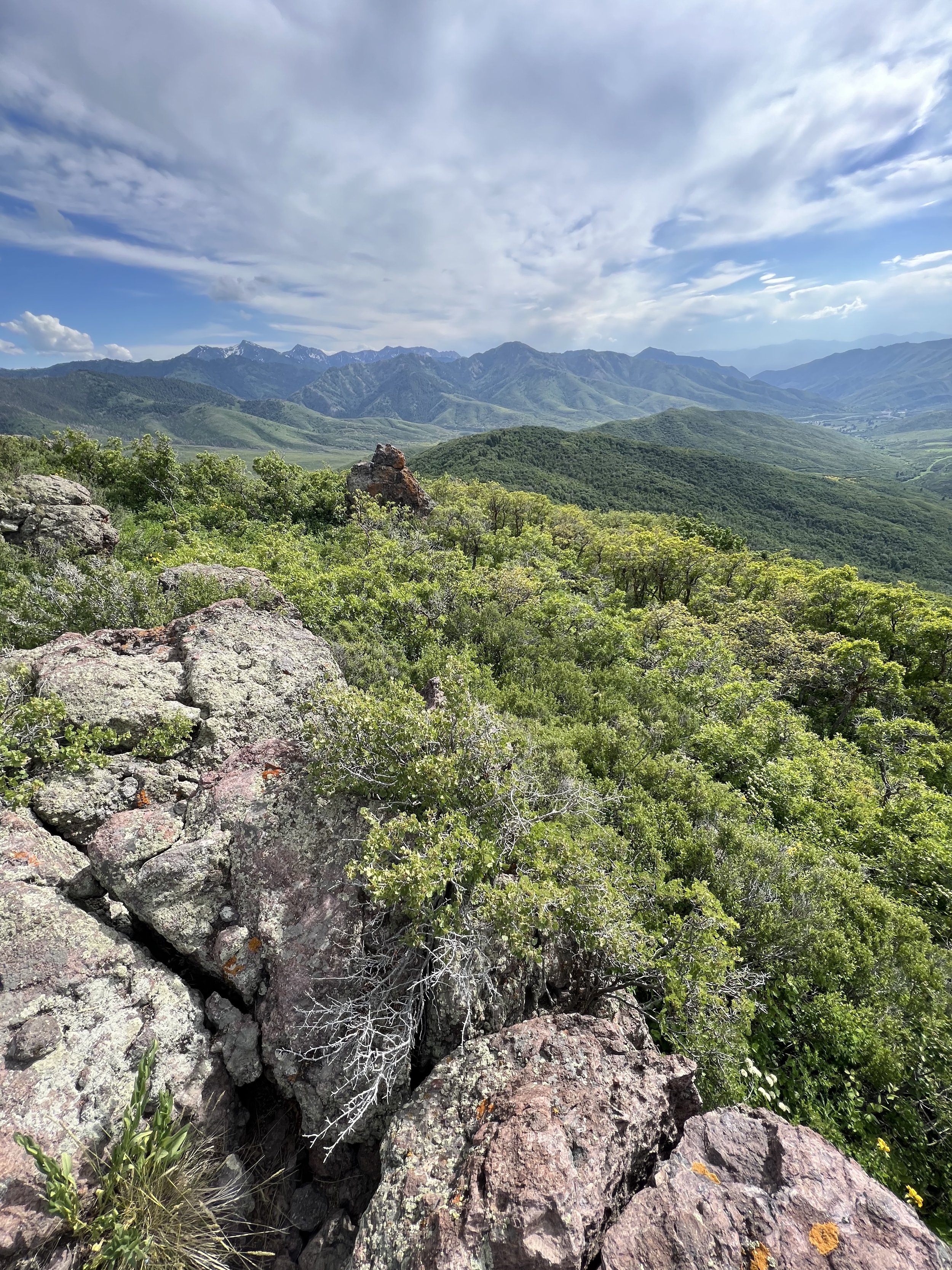
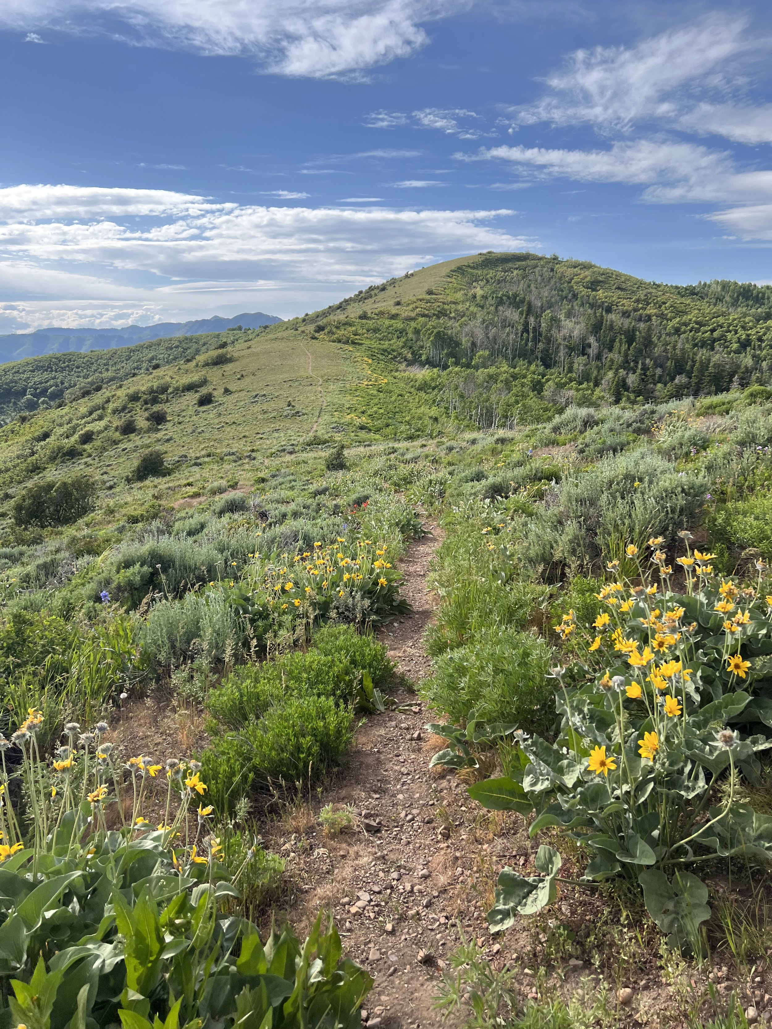
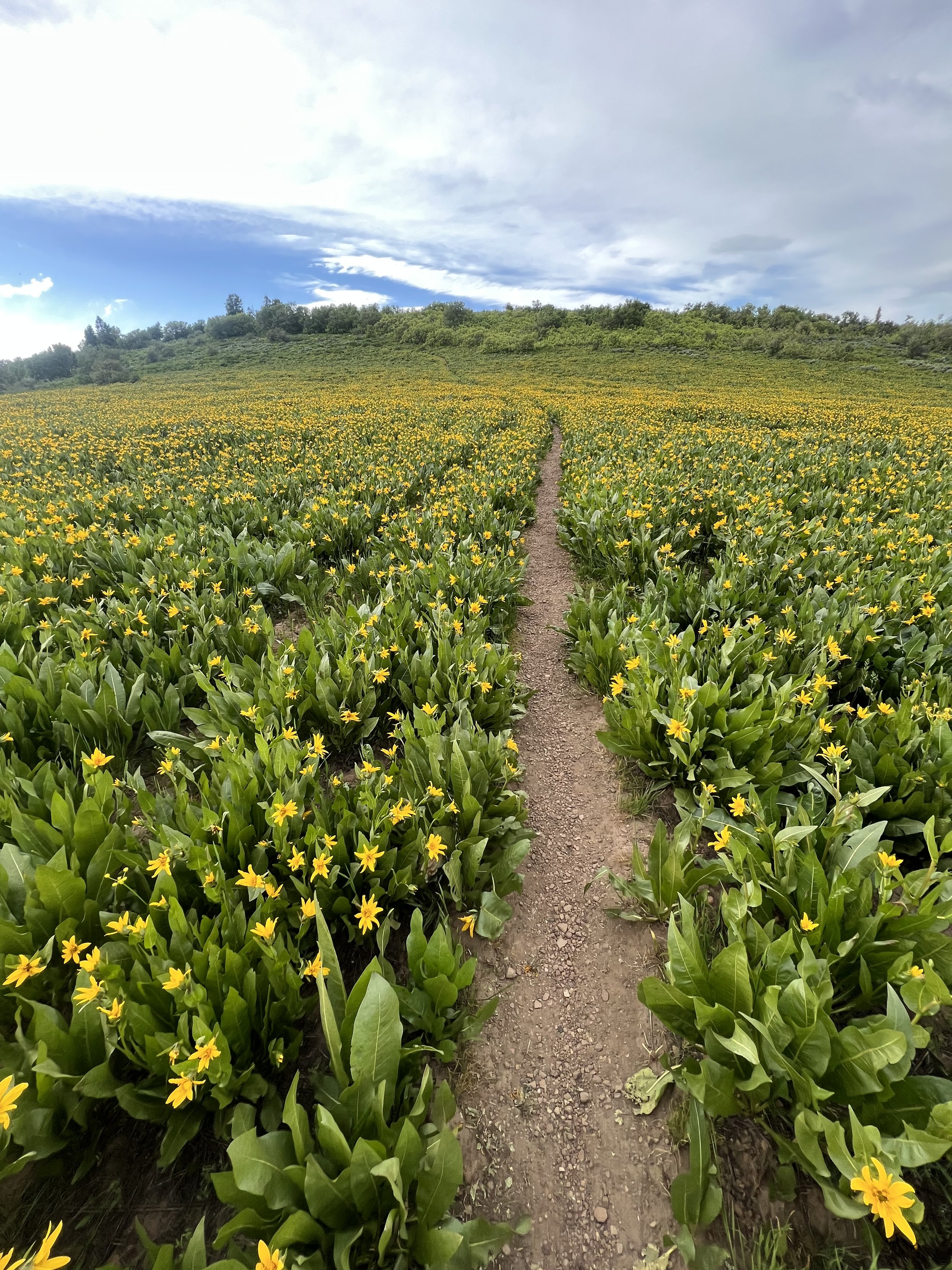
Summit 54 - Mount Raymond - June 25, 2023
What a lovely, warm day with good company. Tanguy and Keenan joined me for this one. We started a little later which meant it would be warmer, but at least we were somewhat rested. We headed up Butler Fork toward the Circle All saddle, and ran into our buds Zeb and Ryan on their way down. There were only a few downed trees on this section, but more flies than I recall from last summer. I think it may have to do with how much moisture there is and how lush all the plants are. It’s been a long spring!
We crested the first saddle and continued along northeast, running into a few more downed trees and very small snow patches. The canyon looked a little different with obvious destruction from the winter slides, but not as rough as I had been expecting. After a few forks in the trail, and a little warmer temps we made it to the Baker Pass saddle between Mount Raymond and Gobbler’s Knob. A steep, but relatively short (.5 mile) rocky trail took us to the summit. There were quite a few people on the trail, but we fortunately had the summit to ourselves for the entire 10 minutes we rested up there.
We reversed the route out, passing a lot more hikers, but overall, quite a nice jog down to the car.
Images below: From the first saddle with a view of Raymond, From the summit looking down the ridge to the east at Gobbler’s Knob (the first summit completed in this project!), Ya girl on the summit, The geological marker.
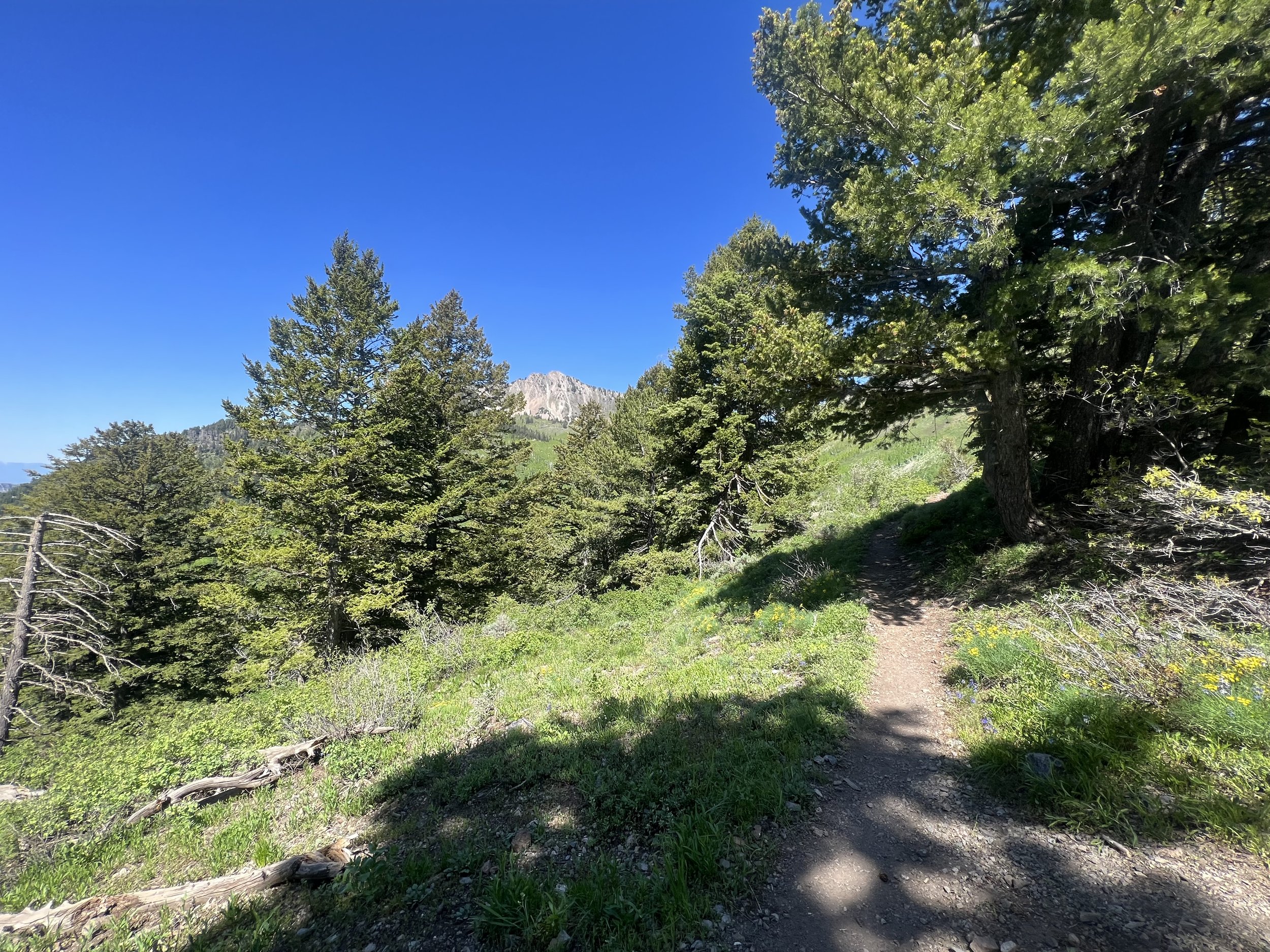
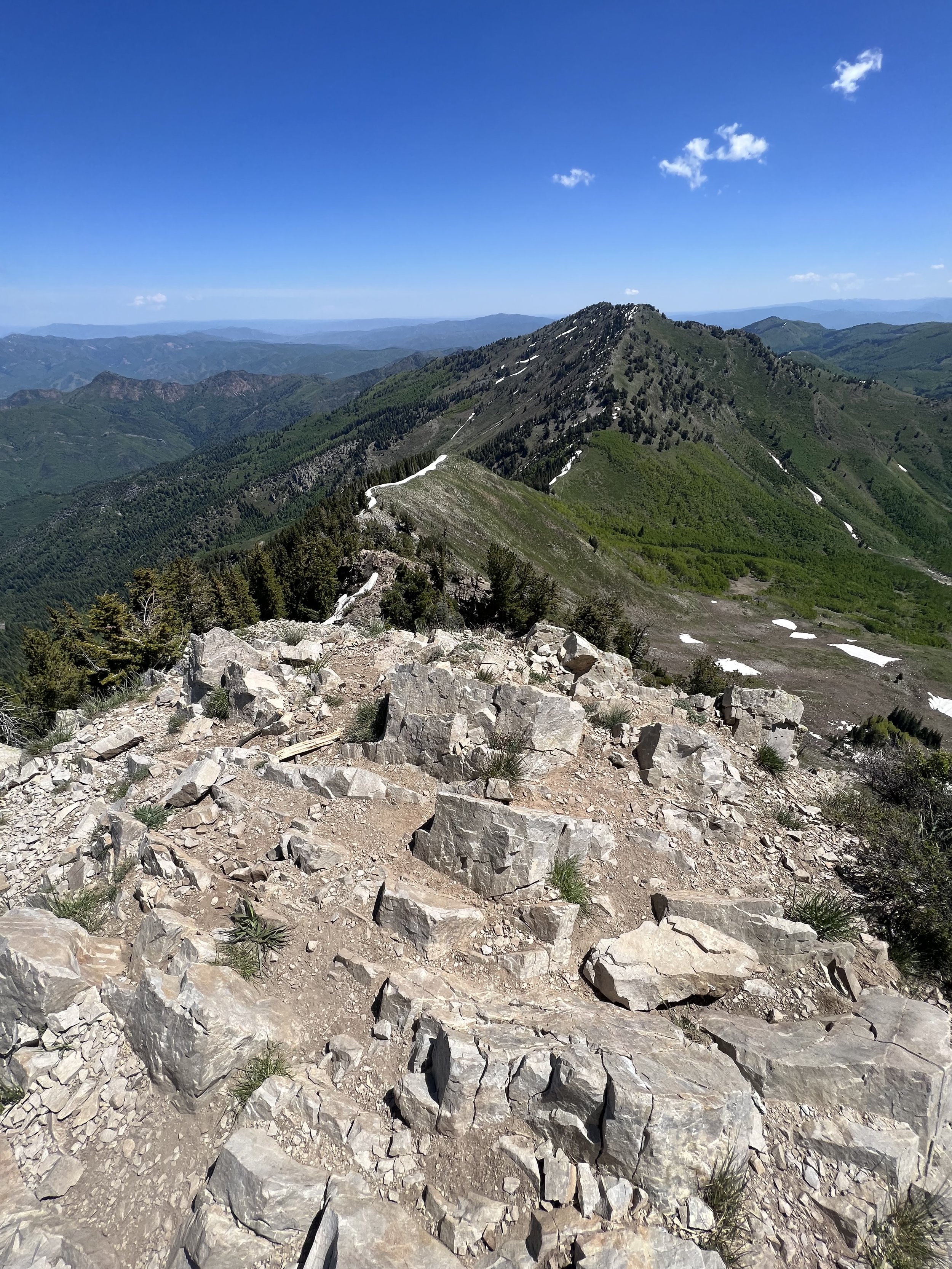
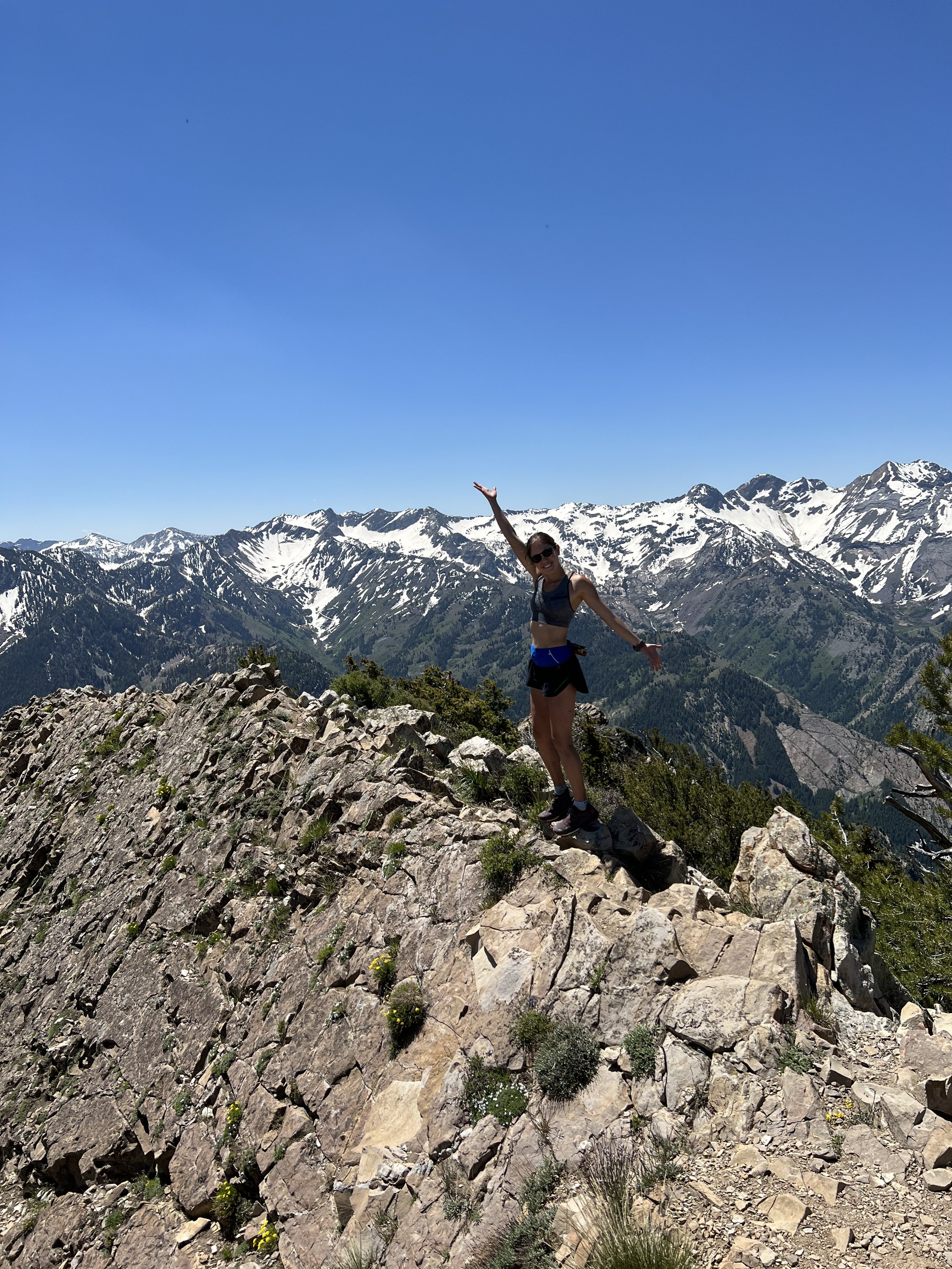
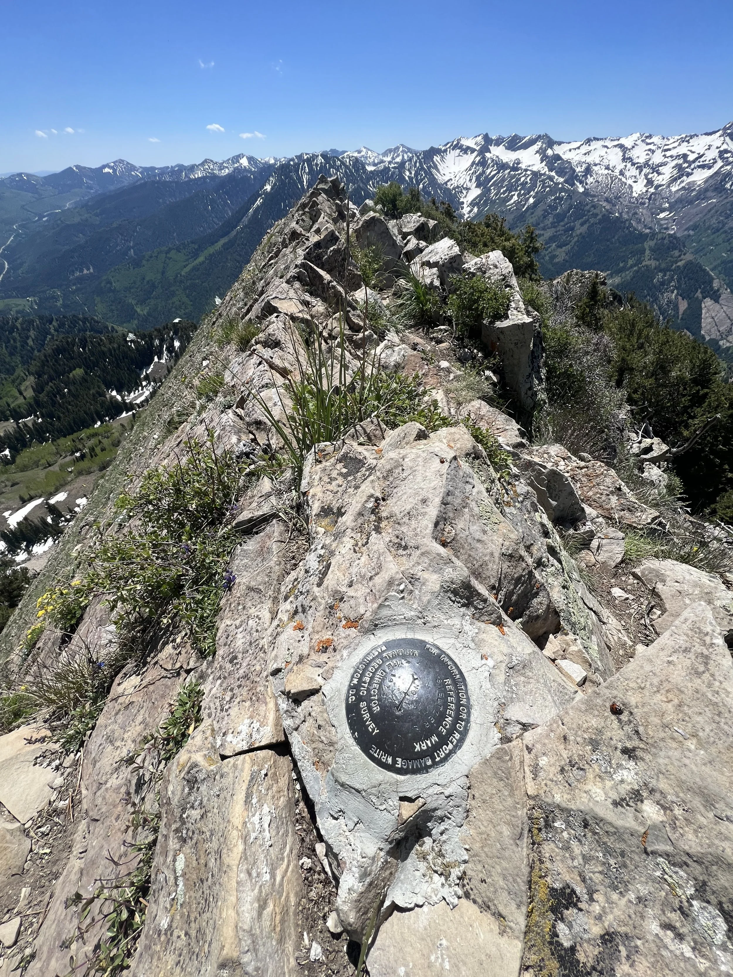
Summit 53 - Perla’s Peak - June 24, 2023
First Wasatch climb outside of the year for me!
We ascended the rock gully for quite a ways, with a few spots of technical scrambling. Eventually we made it to the start of the slabs on a ledge. Keenan took the first 2 pitches as we attempted to figure out exactly where the route was going. By this point we were quite high over the valley which boasted some incredible views. We swung leads after that with only one accidental diversion that resulted in a tree climb to a slab. Arguably the hardest climbing we did on the whole route, but definitely not the way haha.
The whole ridge was fairly easy (5.5ish) with a few moves here and there of 5.8 or 5.7. Enough to make you want a rope.
We unroped once the ridge rolled over and intermittently scrambled up slabs and blocks, and hiked through steep trees until we made it to the true summit of Perla’s. It was sublime. Not another soul in sight and the 360 degree views of Bell’s Canyon, the Bell Towers below, Little Cottonwood granite climbing area, and the Little Cottonwood skyline, were incredible. We took in the views for a moment then started on finding our way down.
We opted to head south, where we cliffed out but found some established rap slings. They looked good, so we roped up and descended 2 raps to a scrambly ledge. From there we just proceeded to thrash through the steep scrub oak slope down and down and down. Eventually we merged with a relatively clear goat trail, and thrashed some more (but easier here). We hit the river and waded across the swift current. At 5’3” the river was a tad more than thigh deep, and frigid! Once across we dumped out the rocks and sticks from our shoes, laced up again, and meandered for about a 20 feet until we hit the Bell’s Canyon trail. It was smooth sailing after that, with some lovely waterfalls and views of the Bell Towers here and there. We were back at the car in a total of 9 hours and 45 minutes.
Images below: View from Little Cottonwood Canyon looking up at Perla’s Ridge, Little Cottonwood Creek flowing around the bouldering area, Part of the Rock gully ascent, View from maybe pitch 2 or 3?, Another view from a belay ledge looking west toward the city, The summit of Perla’s looking south toward Thunder and Bell’s Cleaver, Yours truly on top of the Perla’s Peak rock cluster, Us on the summit of Perla’s Peak, The view from the summit looking west down the ridge over the Bell Towers, The upper creek in Bell’s Canyon looking very alpine and peaceful, Taken from Bell’s Canyon looking up at the Bell Tower Ridge with Perla’s Peak on the far right.
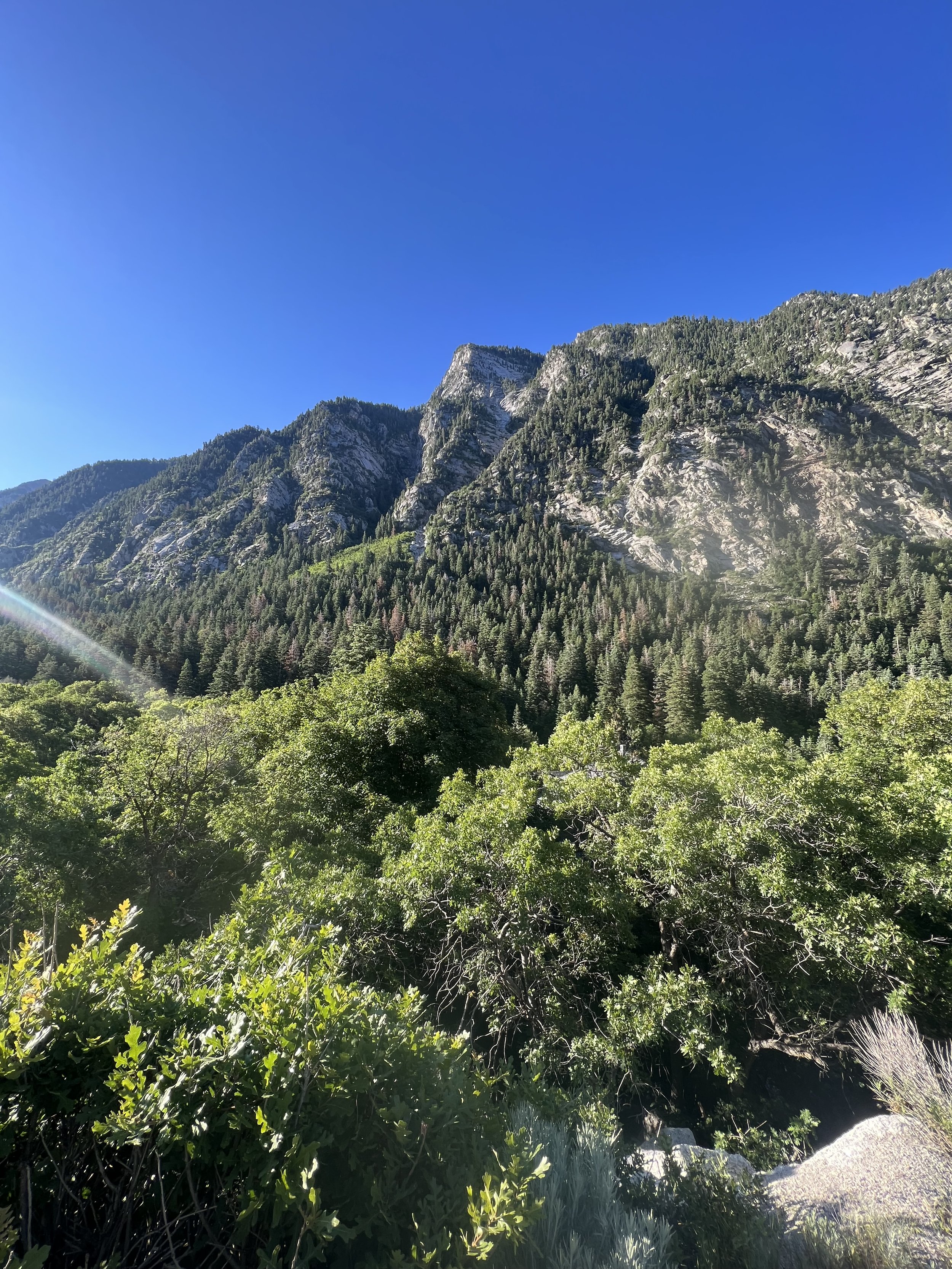
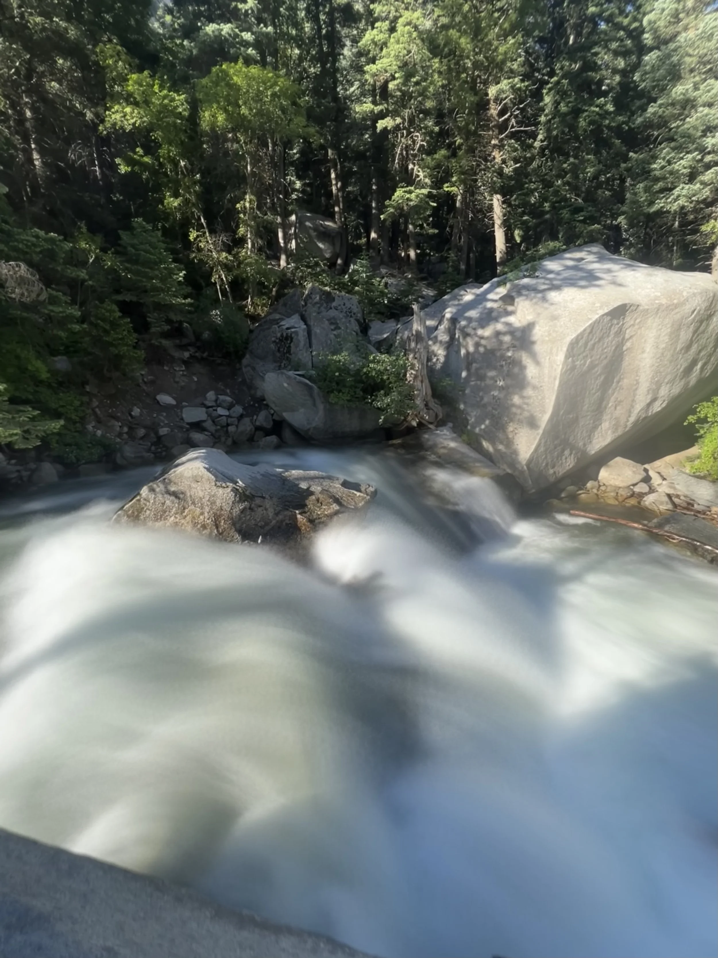
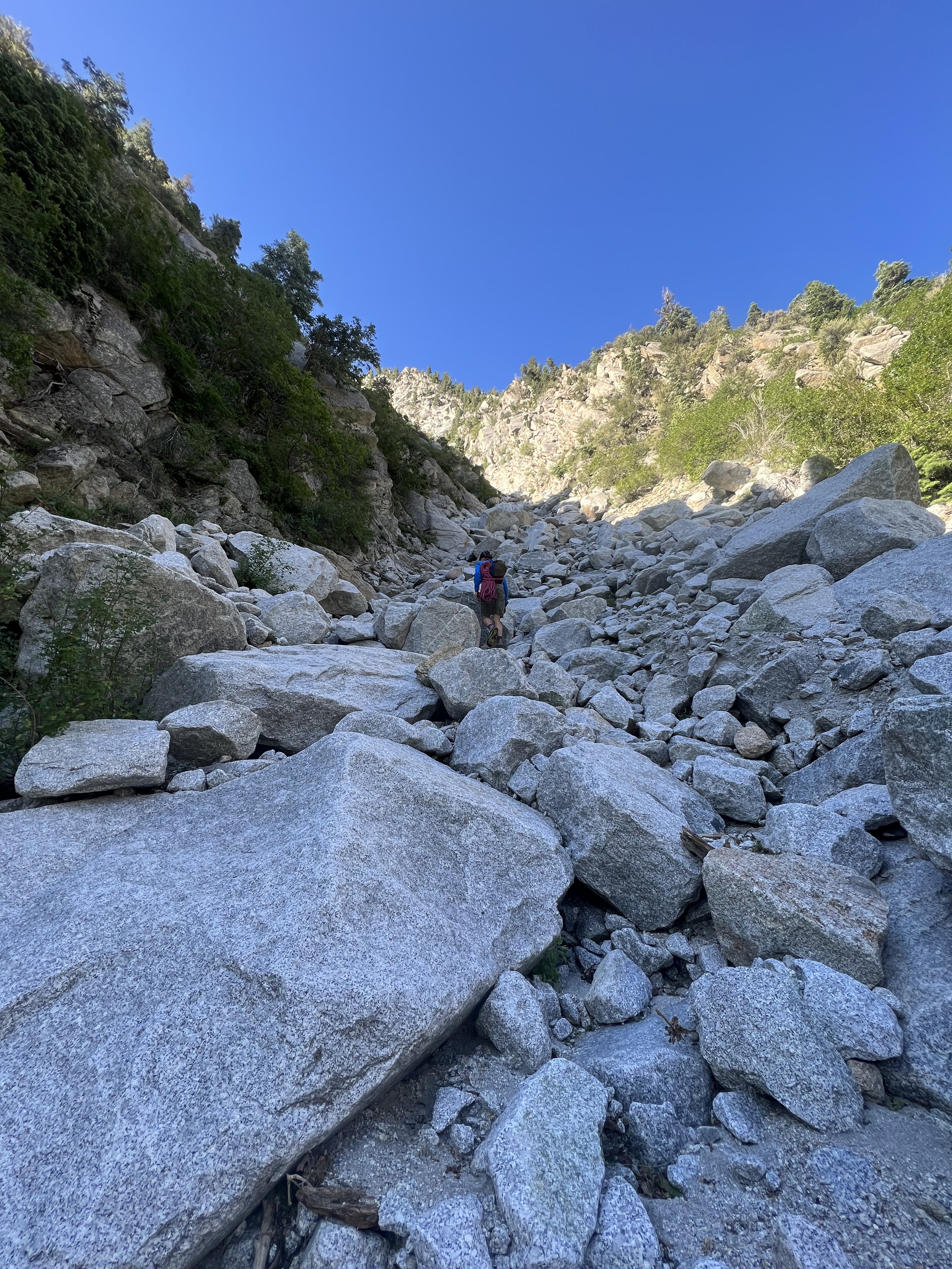
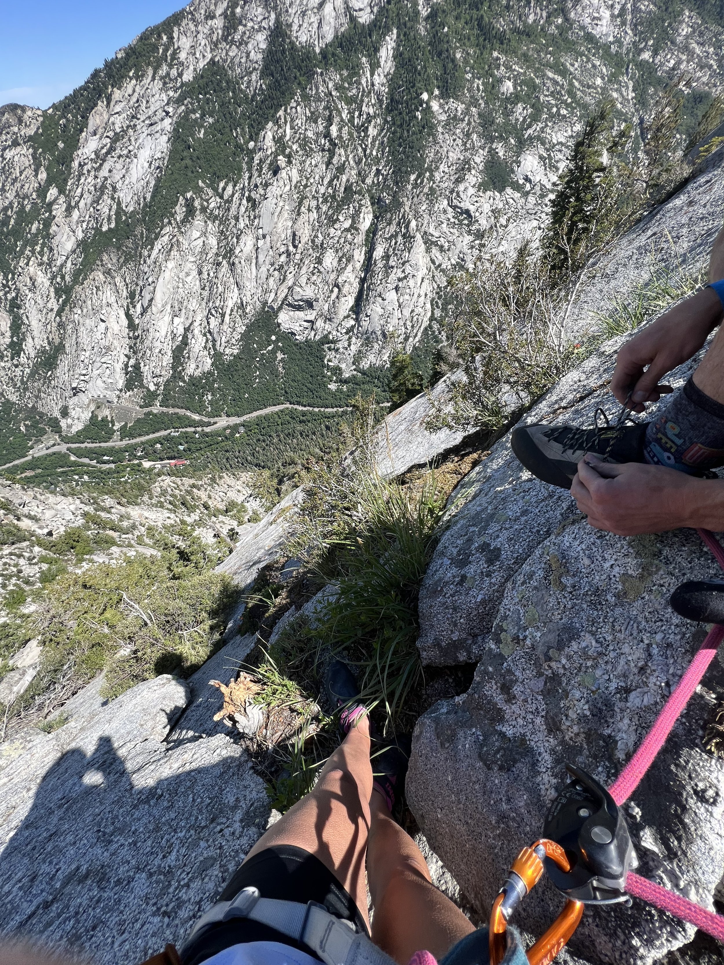
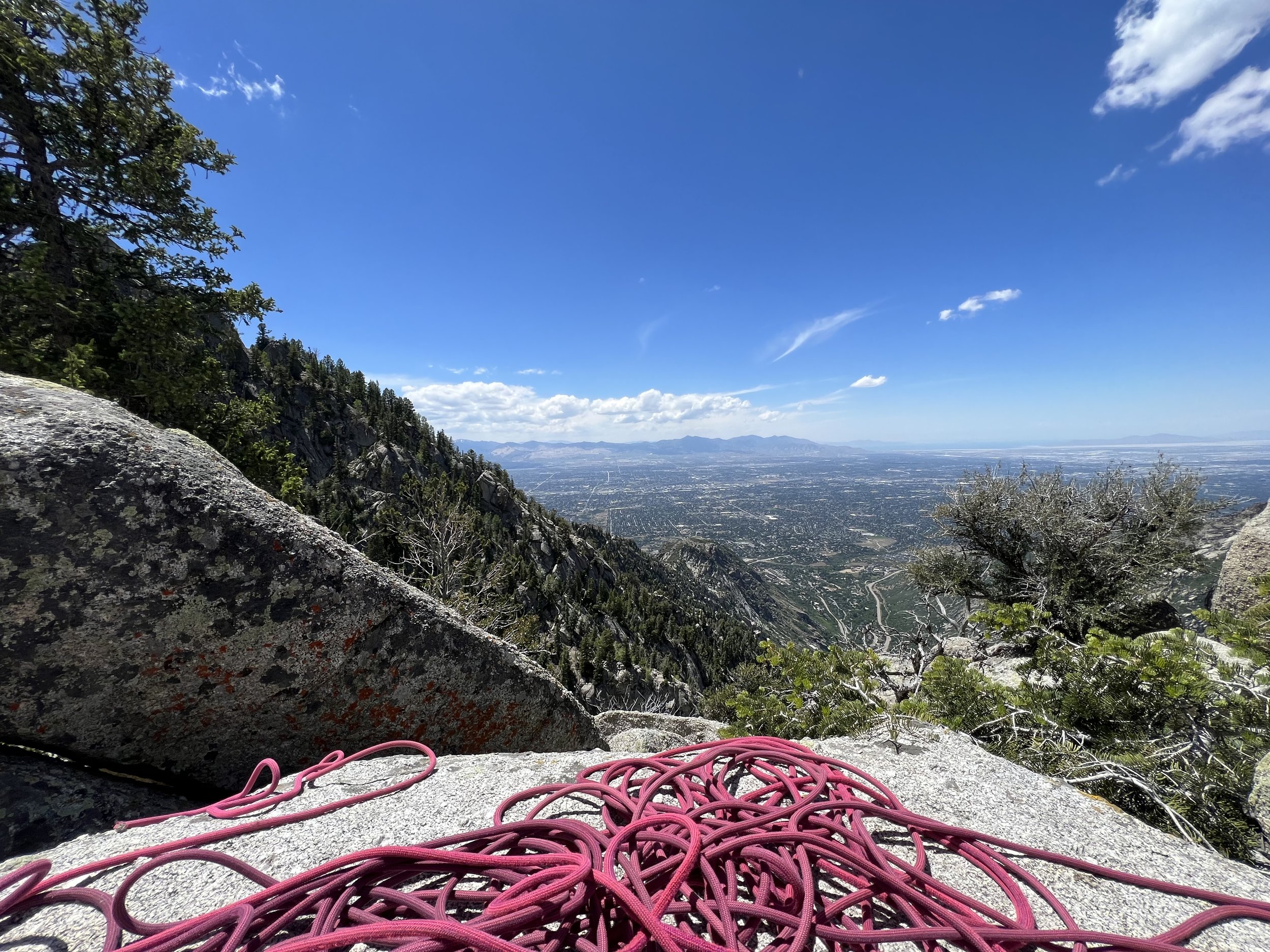
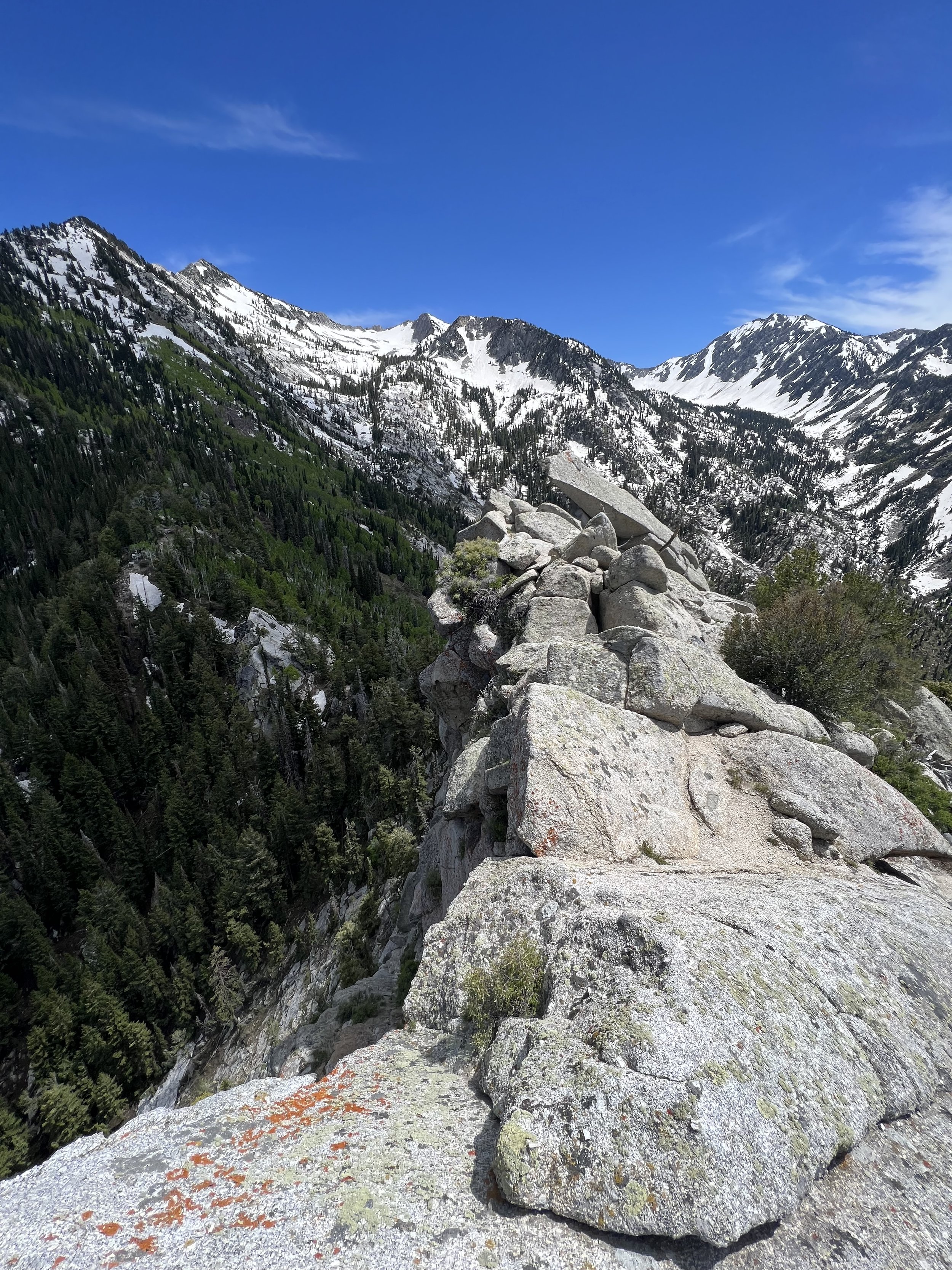
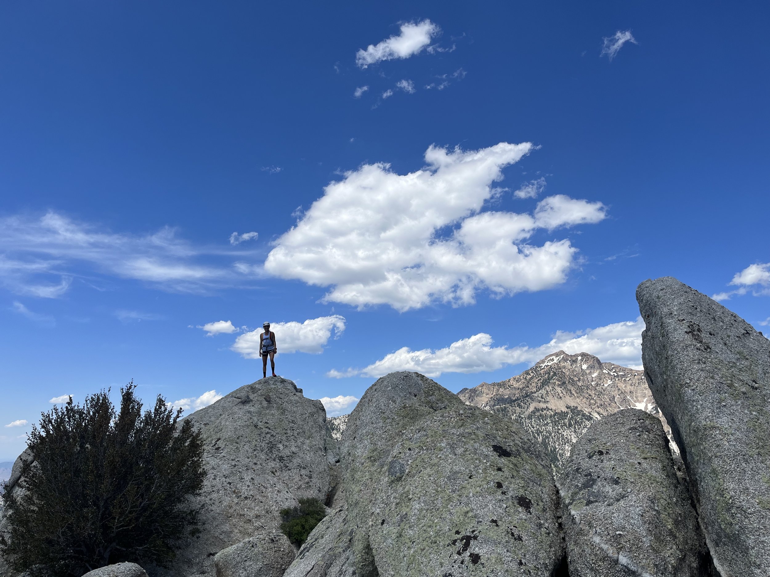
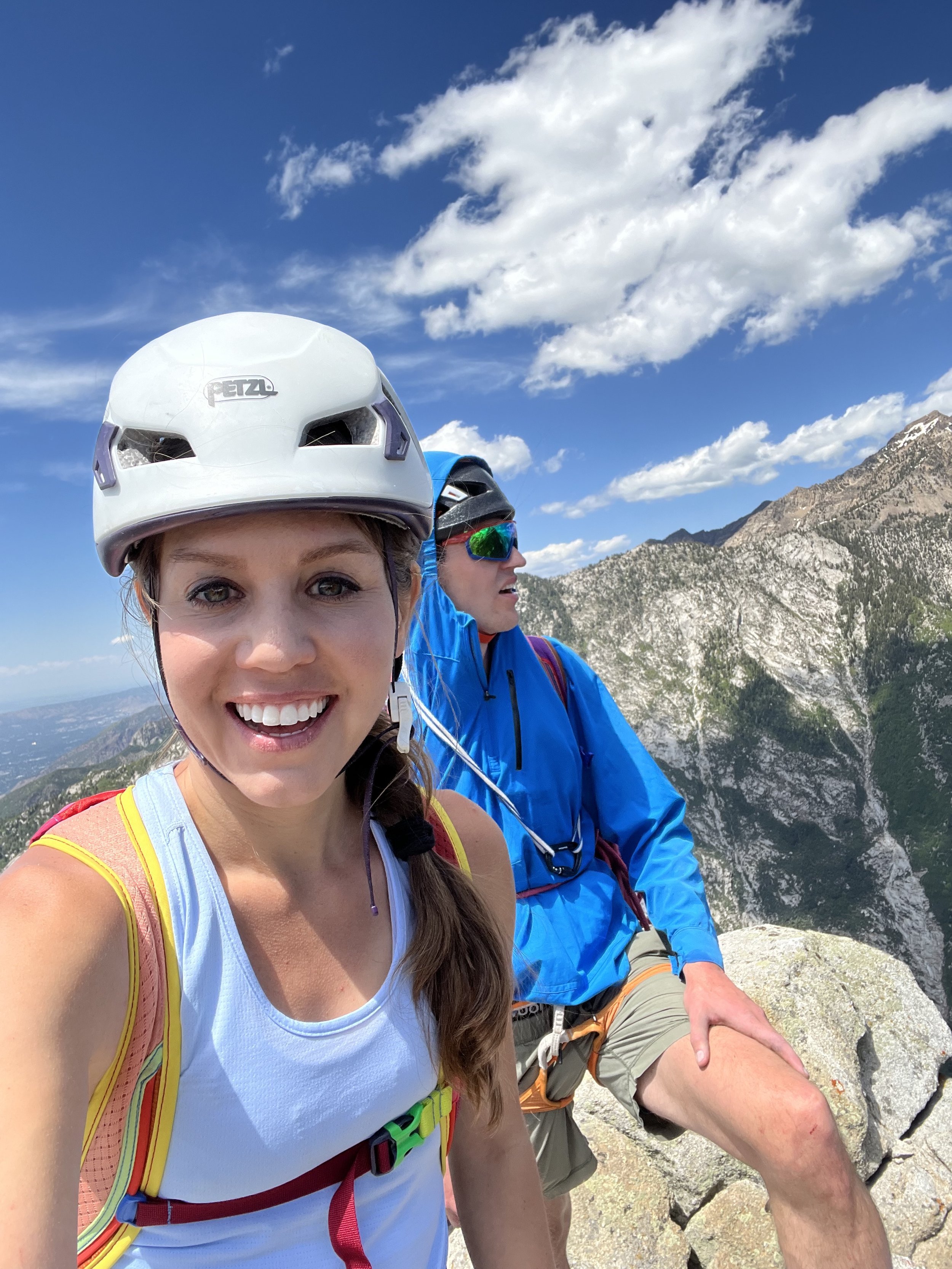
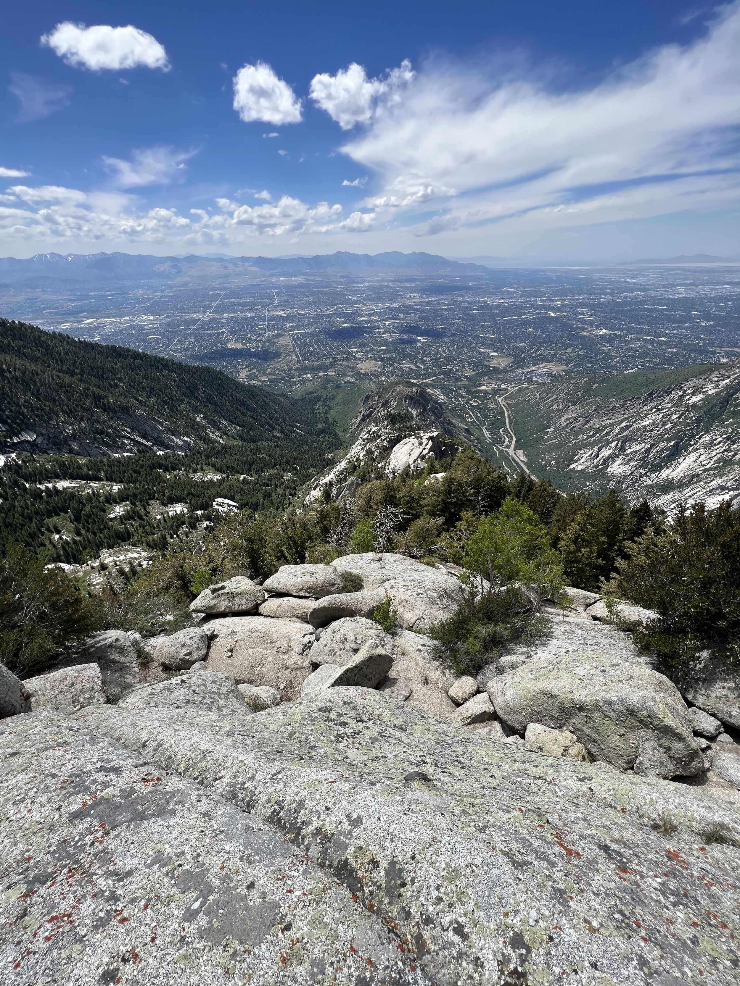
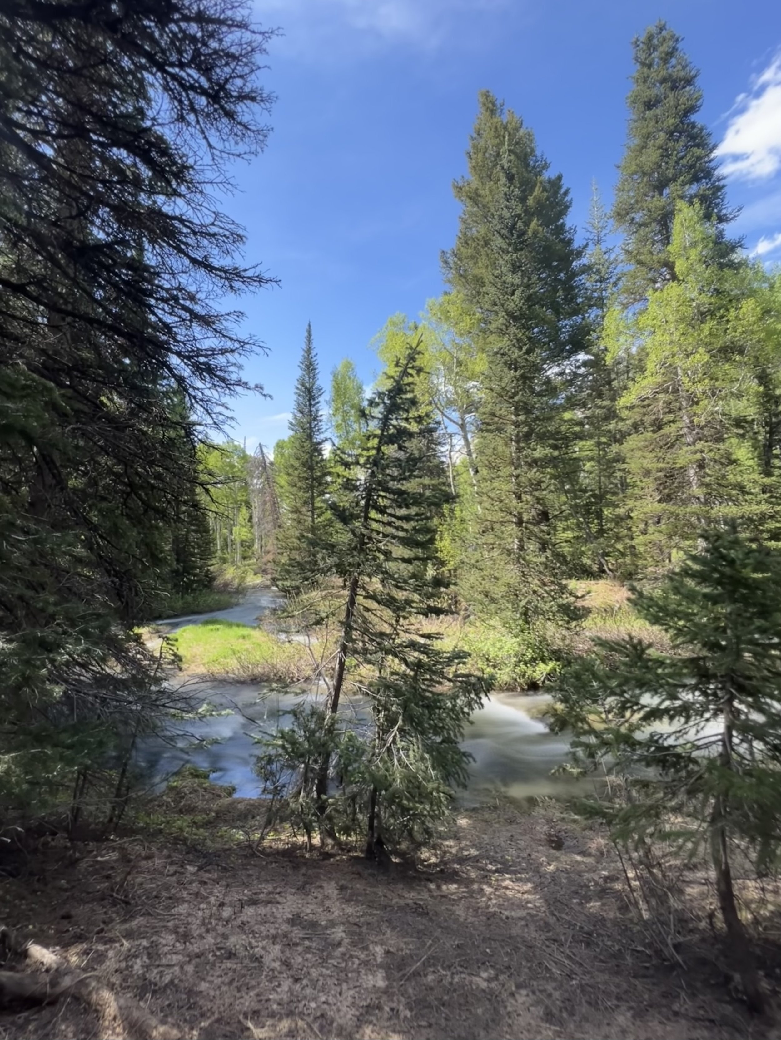
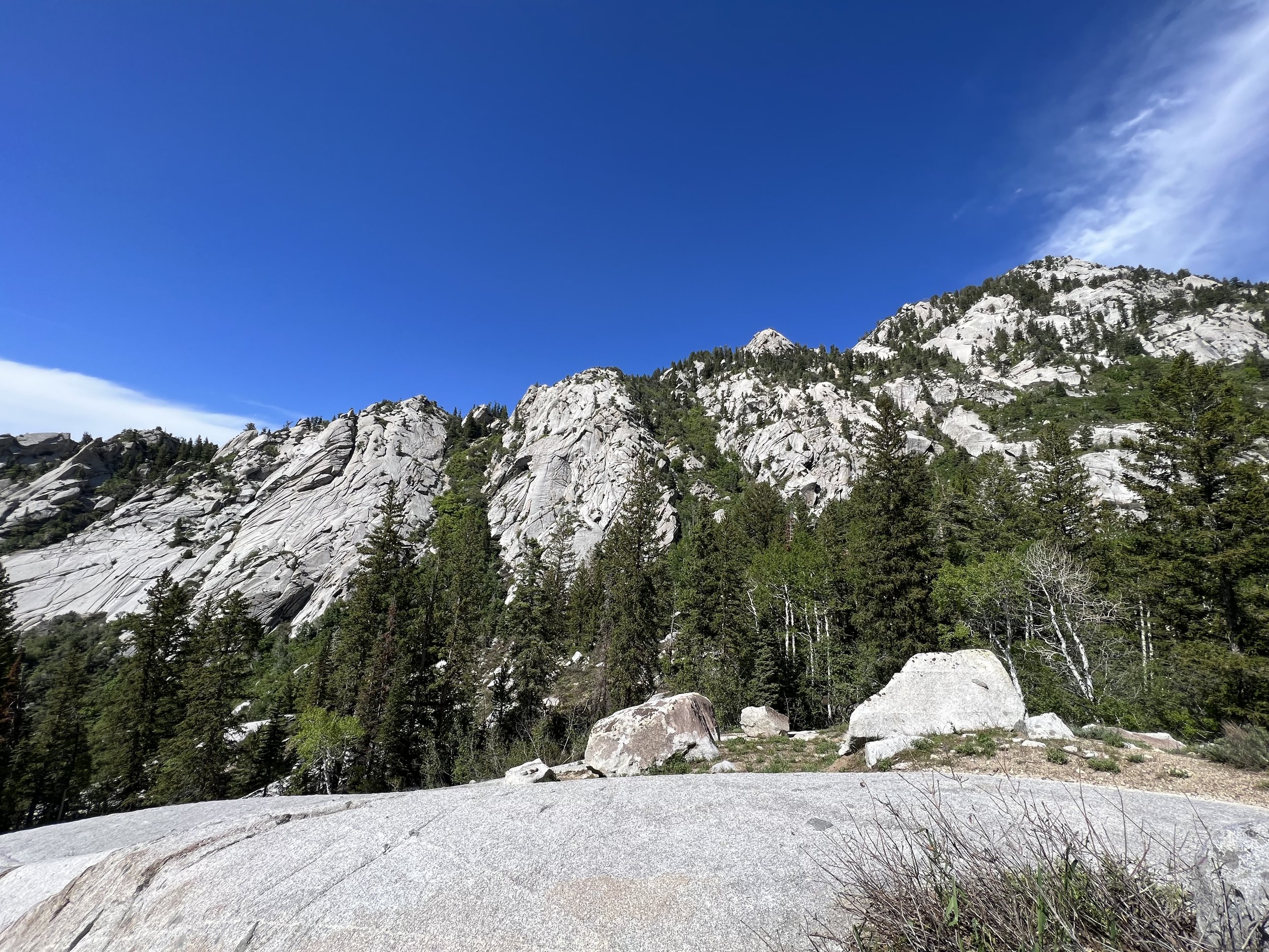
Summit 52 - Far West Bell Tower - June 22, 2023
What a divine shorty!
Started this one from the incredibly popular Bells Canyon TH and followed the standard trail up the switchbacks until a faint trail forking to the left became visible. From here the trail gains moderately on loose and rocky dirt. As it goes on, it gets steeper, and a little more technical in spots, but overall clearly defined and a pleasantly runnable grade. Around the middle section there are some short spots of brush, but I wouldn’t say it’s overgrown. Near the top, the trail starts to undulate and become more exposed. I picked my way to the true summit of the Far West Bell Tower where the trail then appears to continue, but drop off rather steeply. I assume this is the downclimb mentioned on mountain project for the return to the base around the eastern side. The views from the ridge were lovely. Still plenty of snow up high and the waterfall below was raging! Little Cottonwood Canyon’s granite walls looked pristine.
I simply could not imagine a gigantic eye sore of a gondola obstructing this view. It would be an absolute travesty for anyone wanting to experience nature in this canyon. For the love of all things beautiful, I hope the greedy ski resorts are thwarted in their endeavor.
Images below: Along the ridge where it begins to crest with a Chucker in the trail, Looking back down the ridge to Salt Lake City below, A panoramic view of Little Cottonwood Canyon and Bells Canyon with the ridge dividing them, View of Little Cottonwood’s climbing zone, some Antelope Horns found along the trail back down!
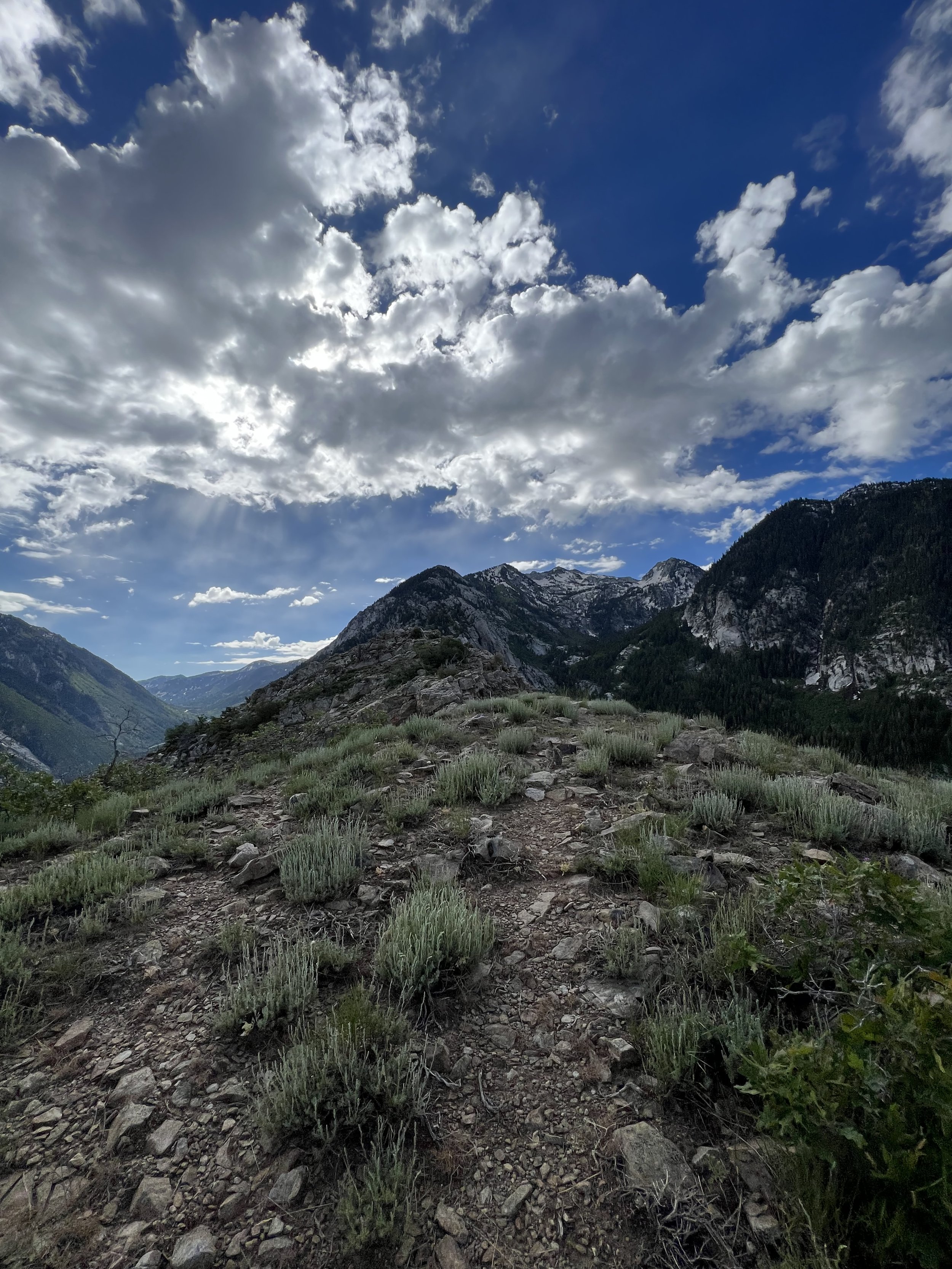
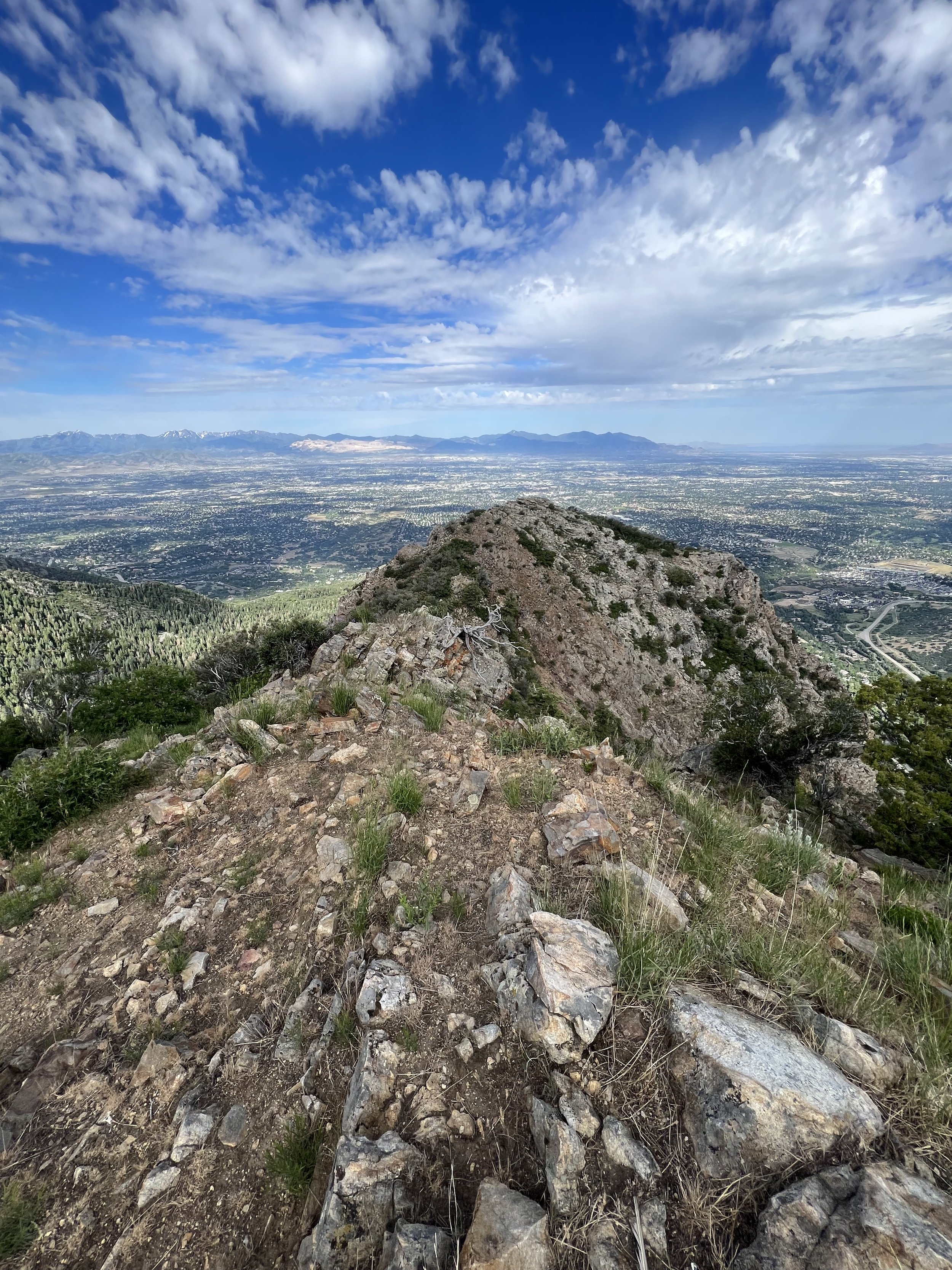
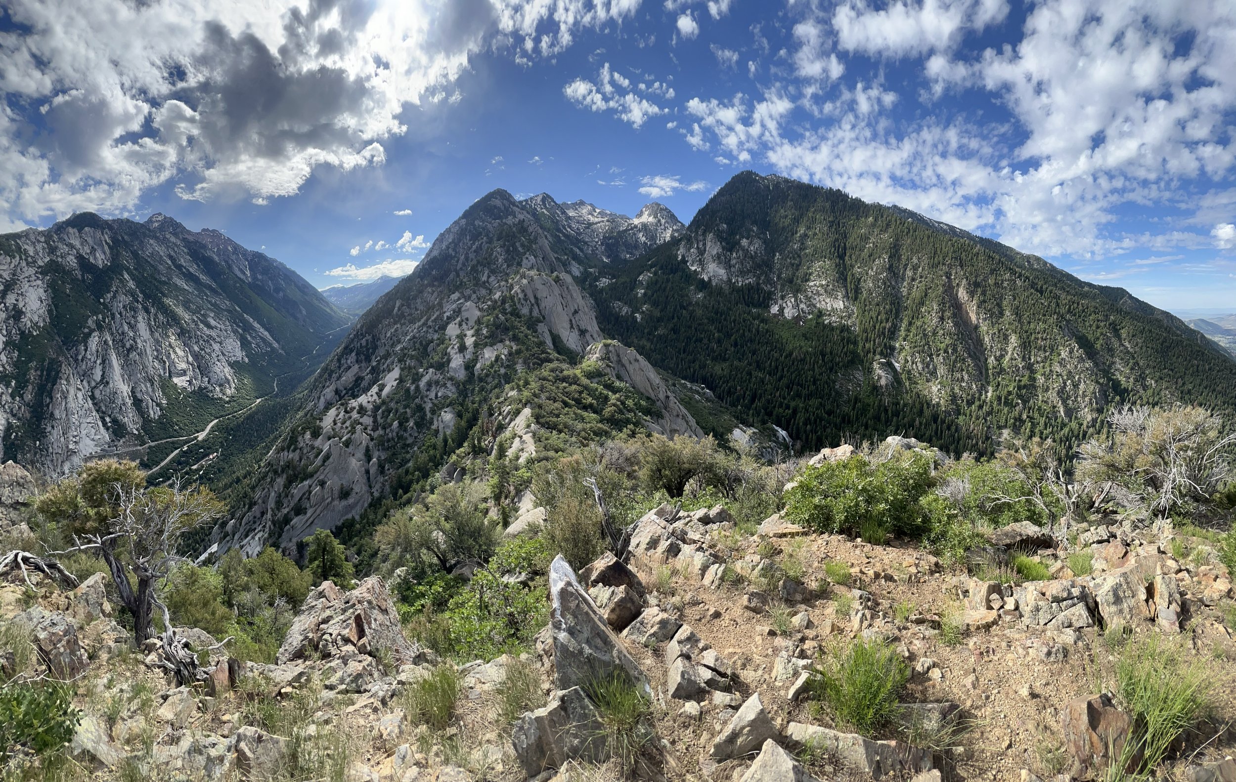
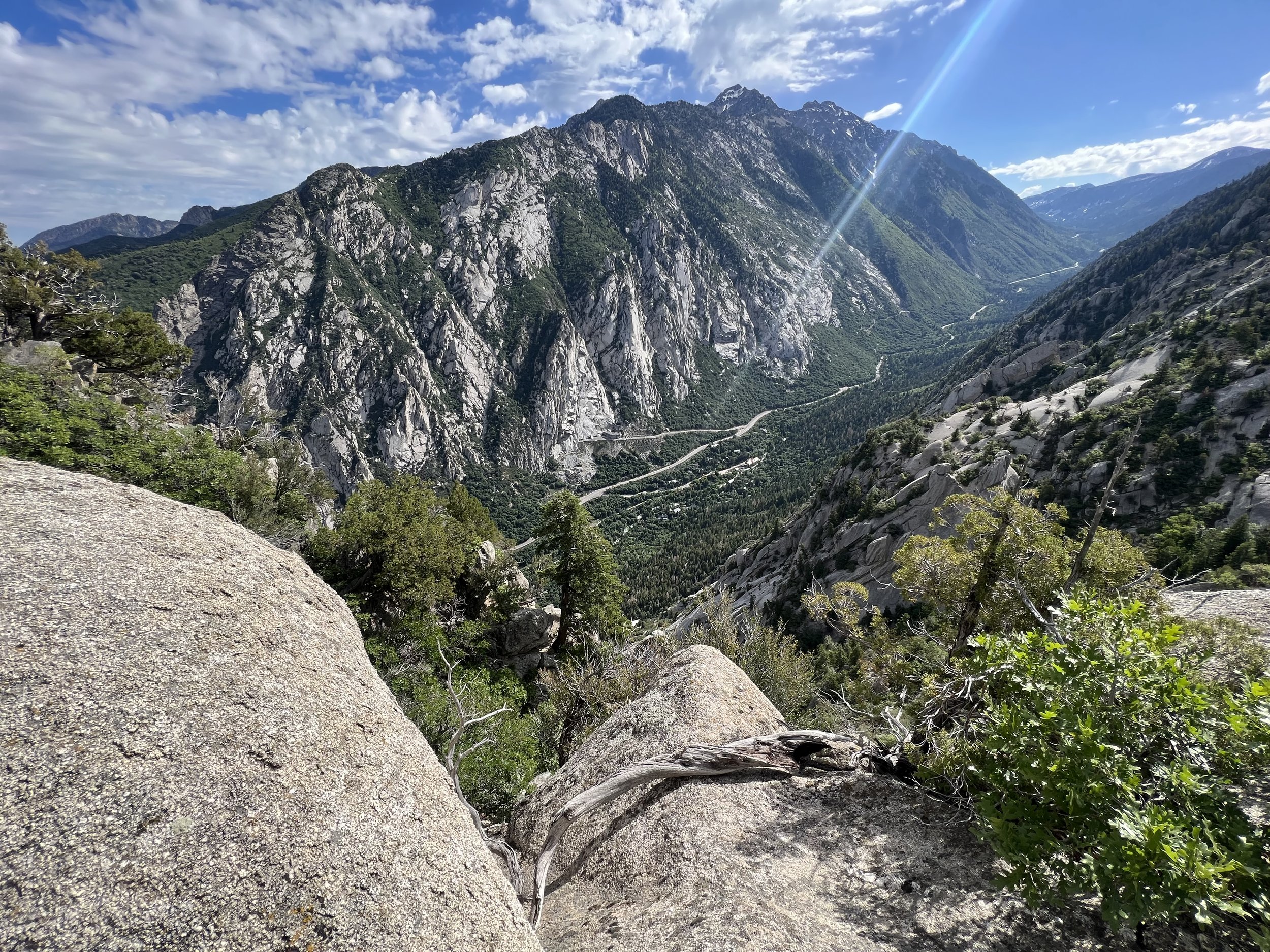
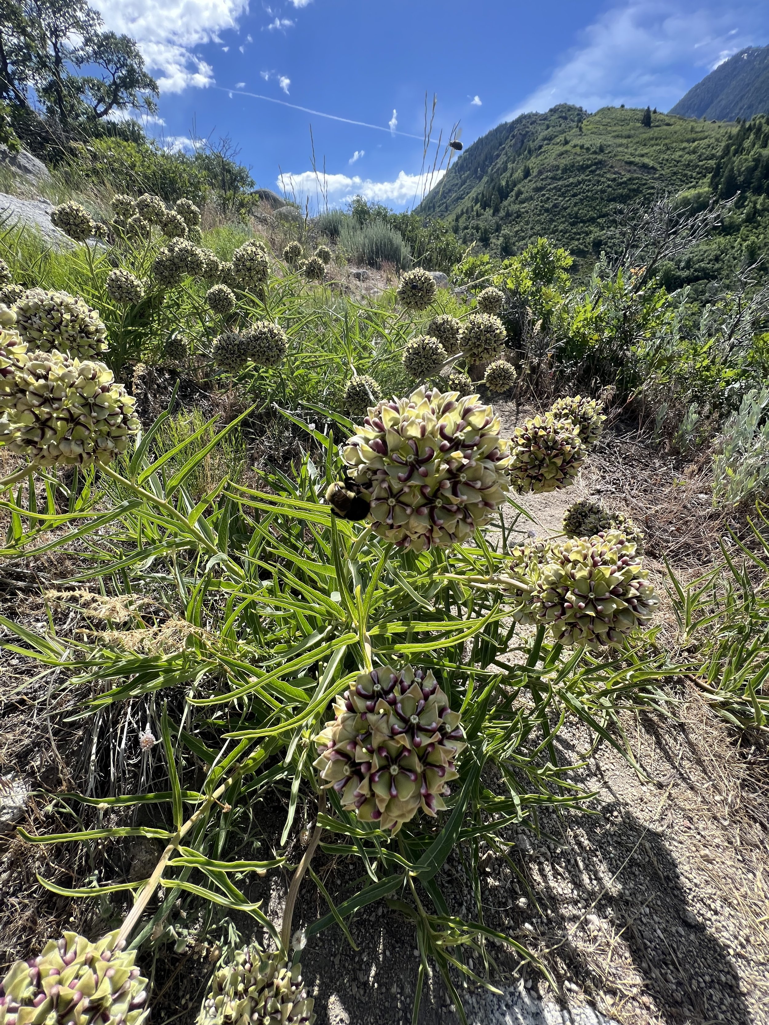
Summit 50-51 - Little Black Mountain and Rook Point - June 21, 2023
FUCK YEAH!
Baby is back!
Started the run from the Terrace Hills TH in the avenues, told myself I would push the up, and baby did I?! Today was one of those days that was just for me. Warm, sunny, flowers in bloom, light on trail traffic, and rolling to steep terrain. I was frolicking up the mountain. Once I crested the to the ridge, it increased from just technical to a rocky knife edge ridge and I was HAVING it. For some reason, I just wasn’t expecting that. I took my time downclimbing and climbing, making my way to the true summit. Once there, I took in the views from the canyons around. Some butterflies danced in the air, and I celebrated my 50th summit of the year. After basking, I reversed the ridge back down where somewhere along it I nearly stepped on 3 nighthawks! One of which scurried straight ahead on the trail and refused to move. I approached to perhaps get him to move, but he vibrated his little body and chirped at me! He wasn’t moving, and it was ADORABLE. If you ever get the pleasure to see one of these feisty birds, enjoy! They are sooo scary, haha.
I eventually climbed a bit higher to get around the little guy, then meandered right back down the trail. I hit Rook Point and stopped for a quick picture. I think this is generally the “summit” for most people as it feels like one here, and avoids the technical/exposed ridge. Less than a minute later, I was back to slipping and sliding my way down the steep, loose upper section of the trail and frolicking along the rolling descent.
Definitely recommend this one for travelers who don’t mind steep terrain, and a little bit of exposure. Excellent views of Salt Lake and the surrounding mountains.
Images below: Looking up to Rook Point from below (Little Black Mountain is out of view), The knife ridge nearing the summit of Little Black Mountain, From the summit of Little Black Mountain looking east toward Salt Lake City, Yours truly basking in 50 summit glory, The feisty nighthawk in question, From the summit of Rook Point looking down the steep trail, Utah’s state flower the Sego Lilly.
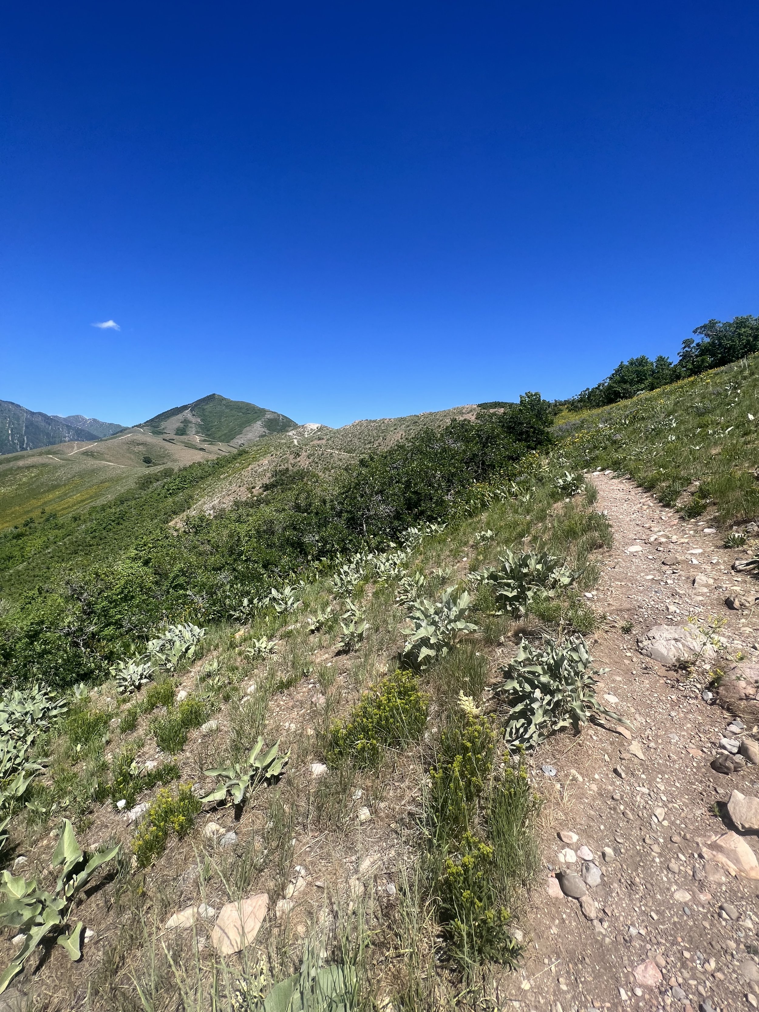
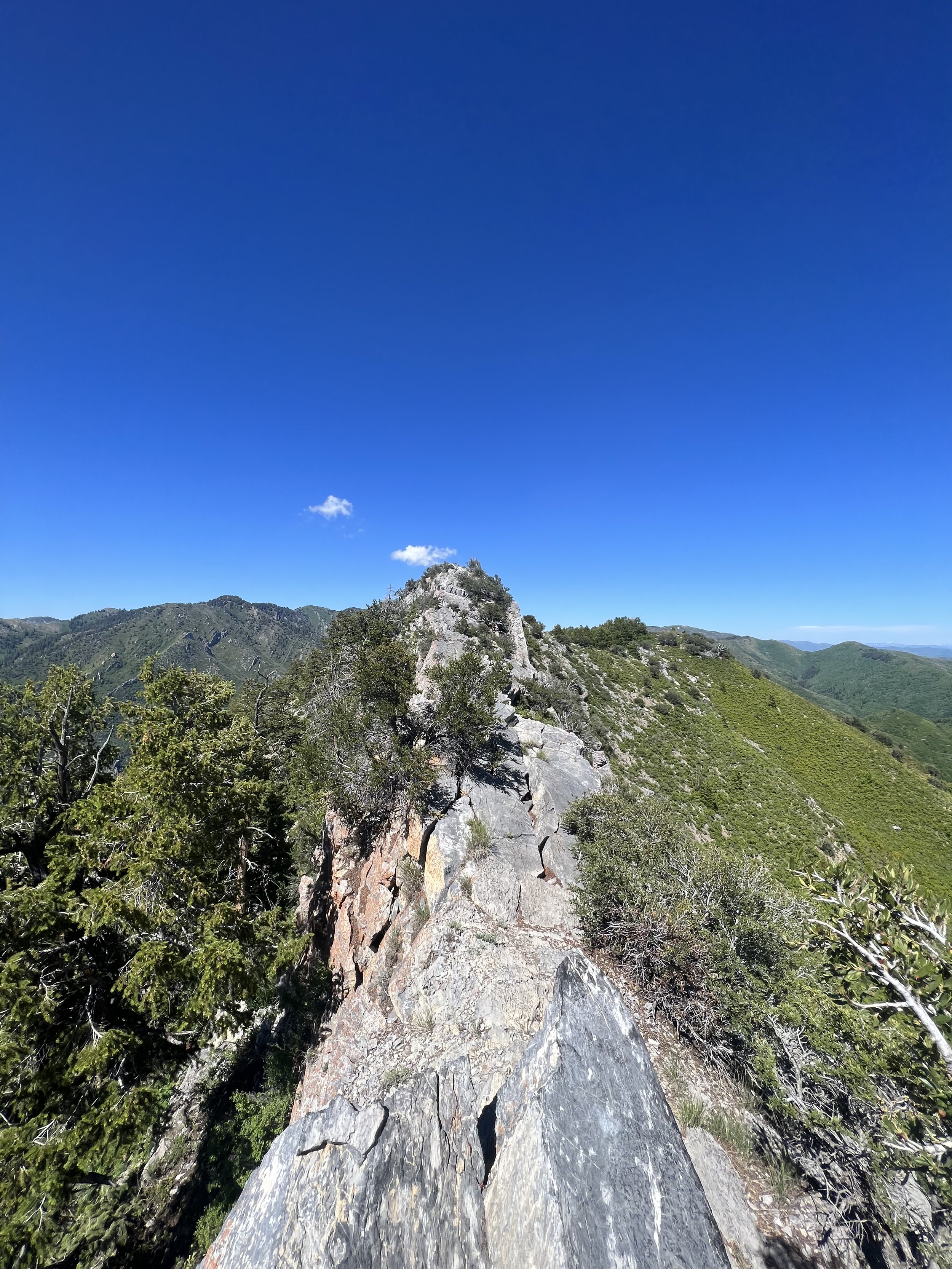
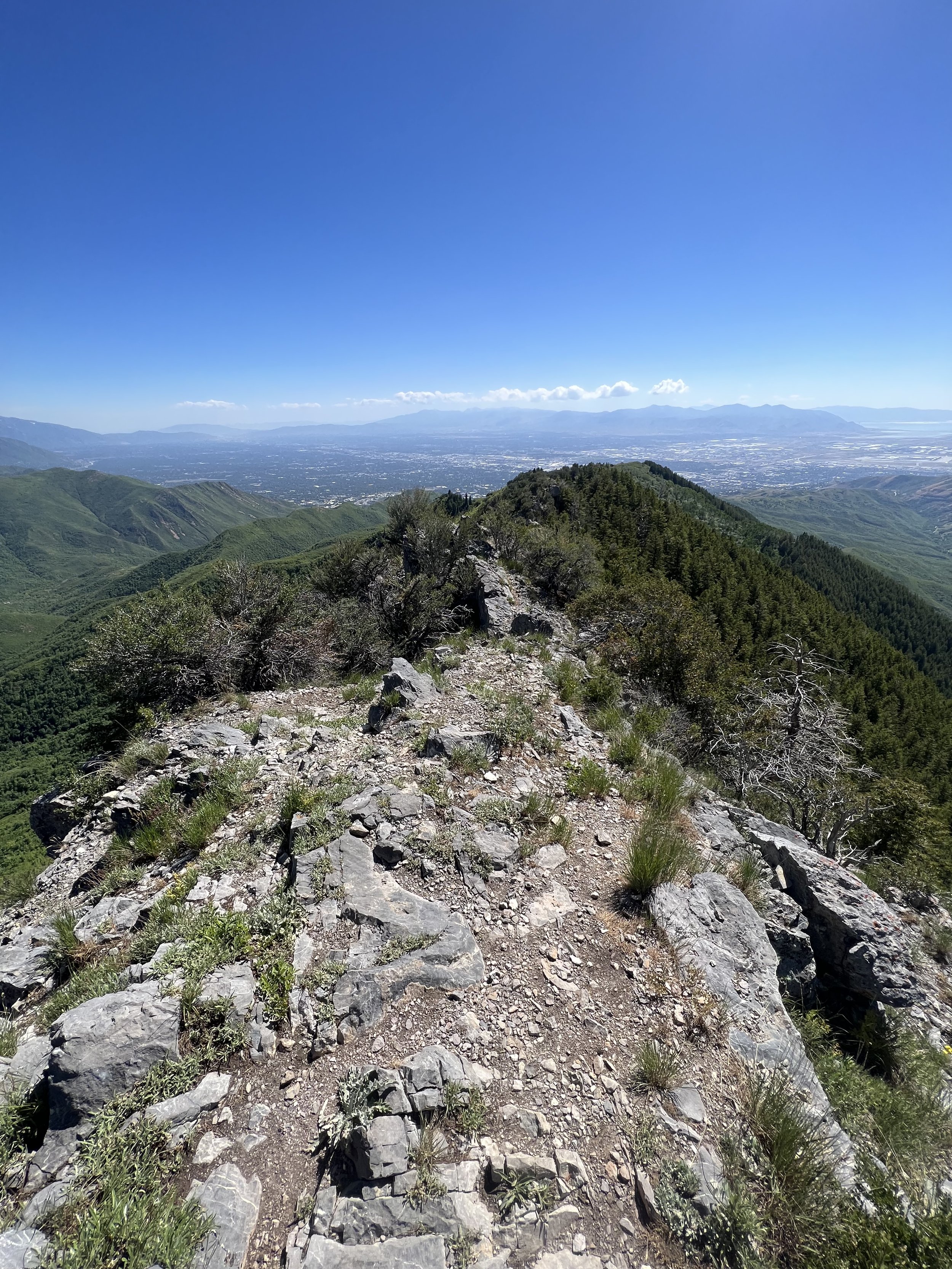
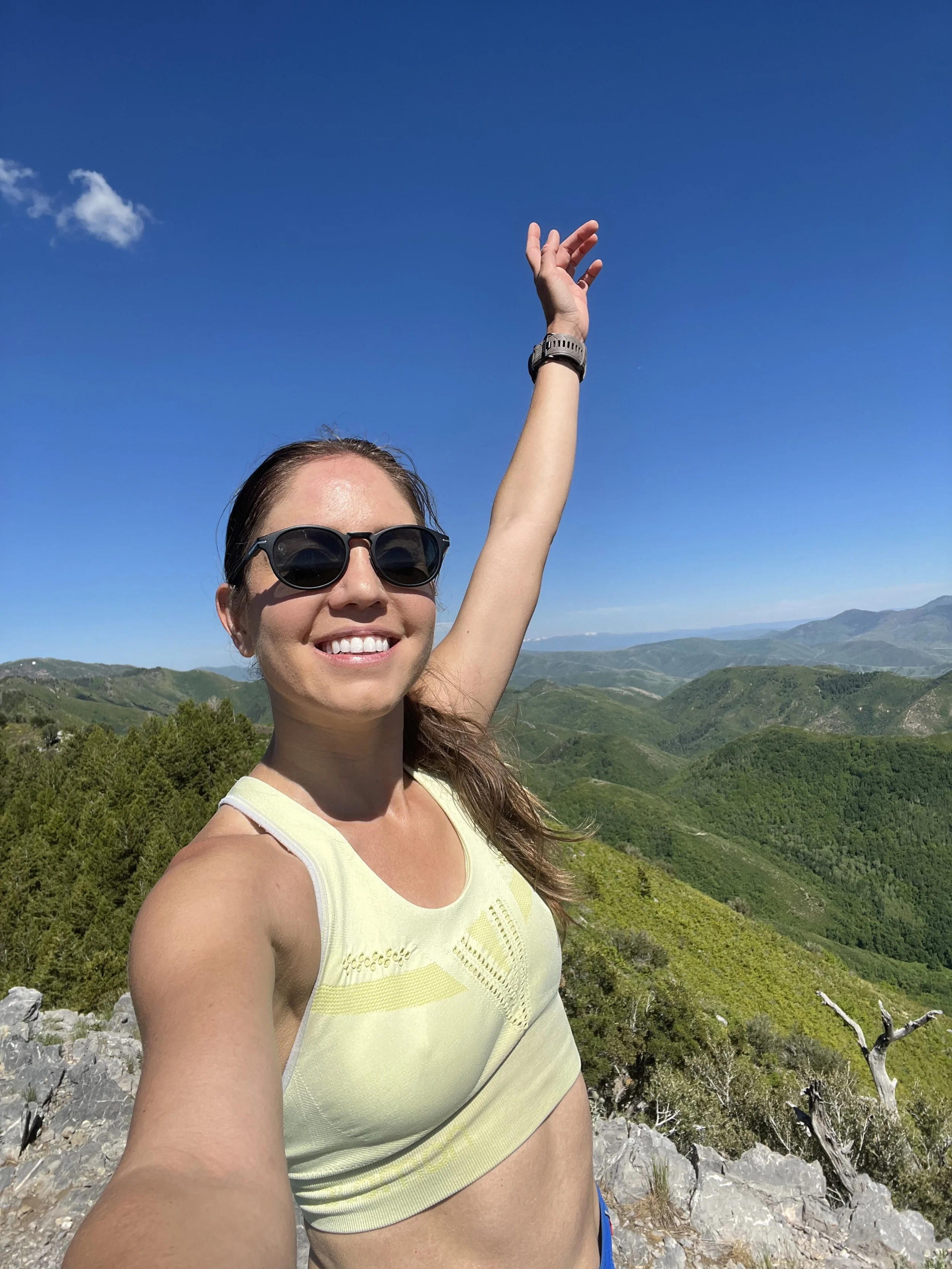
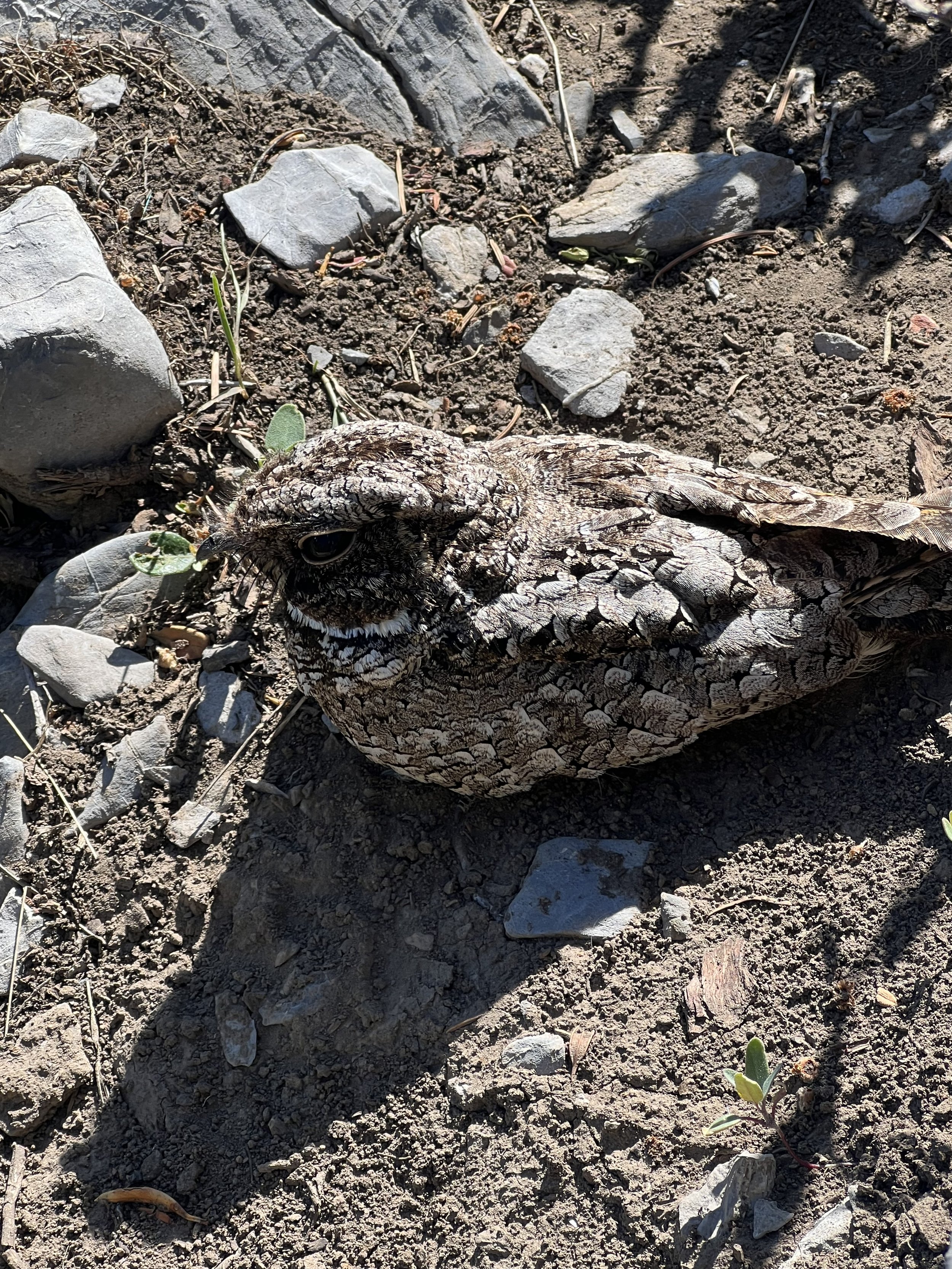
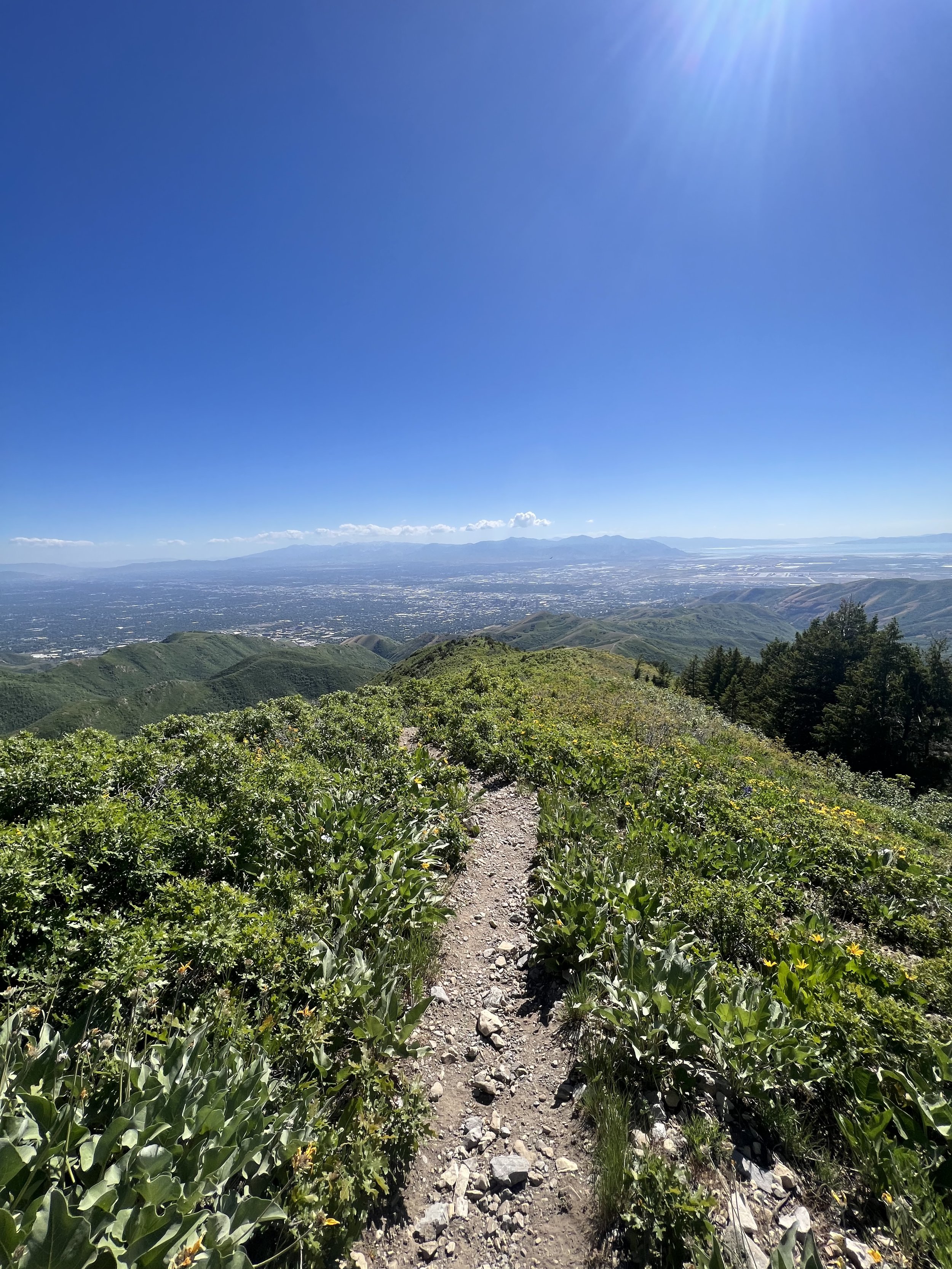
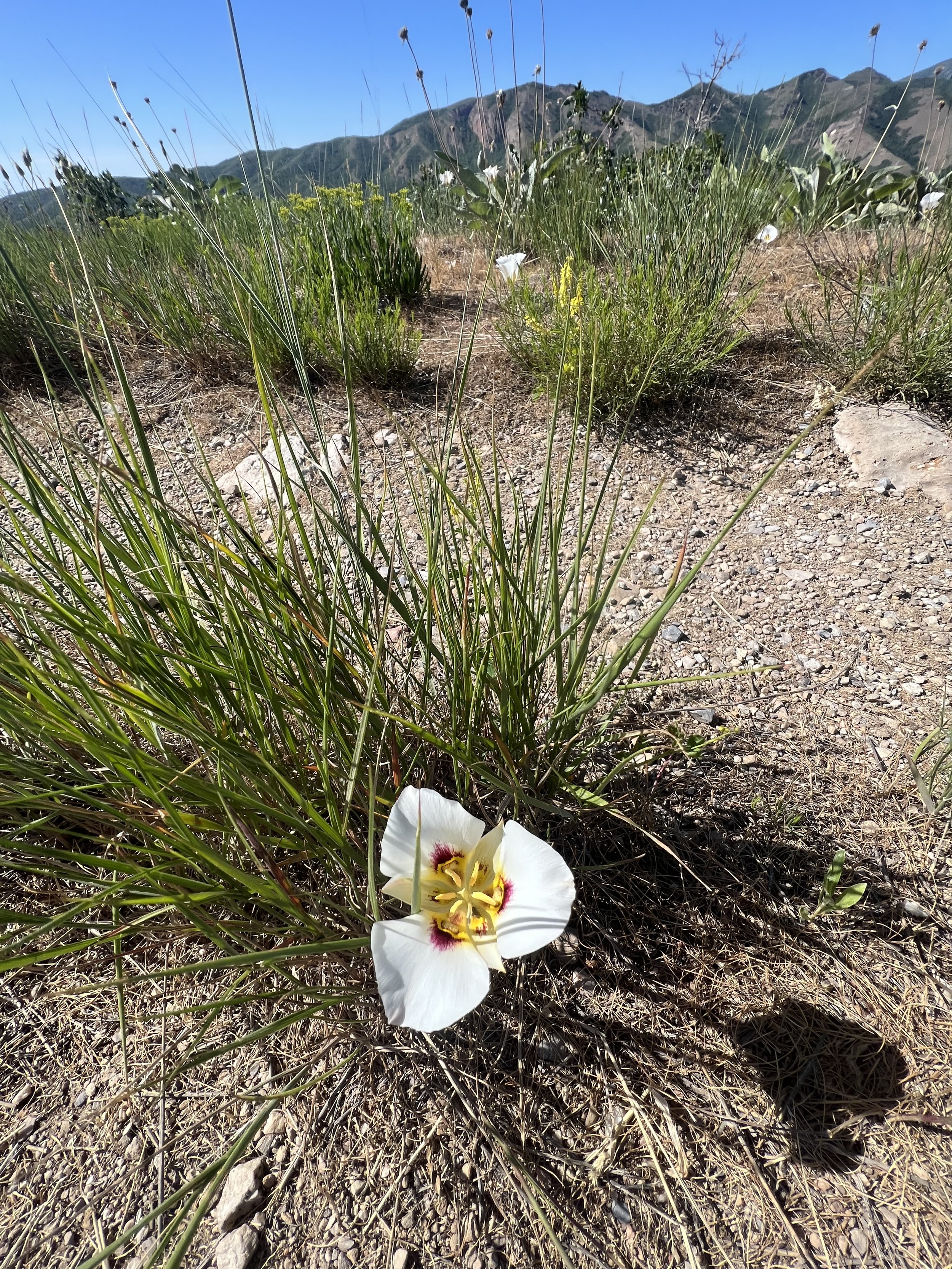
Summit 48-49 - Dude Benchmark and Rudy’s Flat - June 20, 2023
Quite the technical trail for 99% of it.
Started from Summerwood where the TH was under construction. It gains the ridge rather steeply and with a million babyhead rocks. Once on the ridge, it undulates along with punchy climbs, never really letting up in technicality though. I gave my recovering ankle a nice lil’ roll around 1.2 miles. Decided to press on, but it did dampen my mood. The ascent to Dude Benchmark was rather bland from this direction. The view from the summit, however, was quite lovely. It was hard to discern which hilltop to the east east Rudy’s, but it didn’t matter because I needed to find it no matter what.
The trail becomes increasingly narrow and more technical beyond this point. It is faint in spots, and all but disappears and reappears within reason. It crests mini scrambles, then descends rocky, loose hillsides. It skirts steep canyon sides with kitty litter dirt for ample grip, and cuts through little forested sections. It does roughly stay on the ridge, and I am in no way admonishing this trail. I loved it. I found the climbs to be entertaining tempos, and the technical terrain lended itself well to more intriguing surroundings.
The trail spits out onto a very, verrrry buffed out bike trail for the last little bit to Rudy’s Flat. This was welcome, but also a bit jarring considering it appeared that there was a much more flowy way to reach the same point. Then a cyclist came barreling past me and I decided it was not, indeed, better.
The views from Rudy’s Flat were limited, although it was neat to see the meadow and various trails forking off of this point. I took a breather and then flipped around. I actually missed the faint trail back toward the ridge initially, but about 20 feet down the trail when I was still running on enjoyable buffed out terrain, I realized my error and backtracked.
The ridge back was by far the highlight. Now that I knew where I was going, and what to expect, I could move along with more effort and comfort. It was lovely, until mile 7 when my feet slipped totally out from under me on a dusty descent and scraped my butt and arm, then smashed my finger quite forcefully. I took the remaining mile rather easy.
Images below: The rocky/steep ascent near the beginning, Looking toward Dude Benchmark in the center, The Dude Benchmark summit marker, From Dude looking south over to Black Mountain ridge, Just below Dude as the singletrack wraps around and looks toward the east ridge, One of the forested sections (too clear of a path to consider this “bushwhacking”), Some more singletrack appreciation, The flatness on the summit of Rudy’s Flat, Part of the buffed out bike trails at the top of Rudy’s Flat, And lastly the faint singletrack meandering along the ridge looking west on my way back.
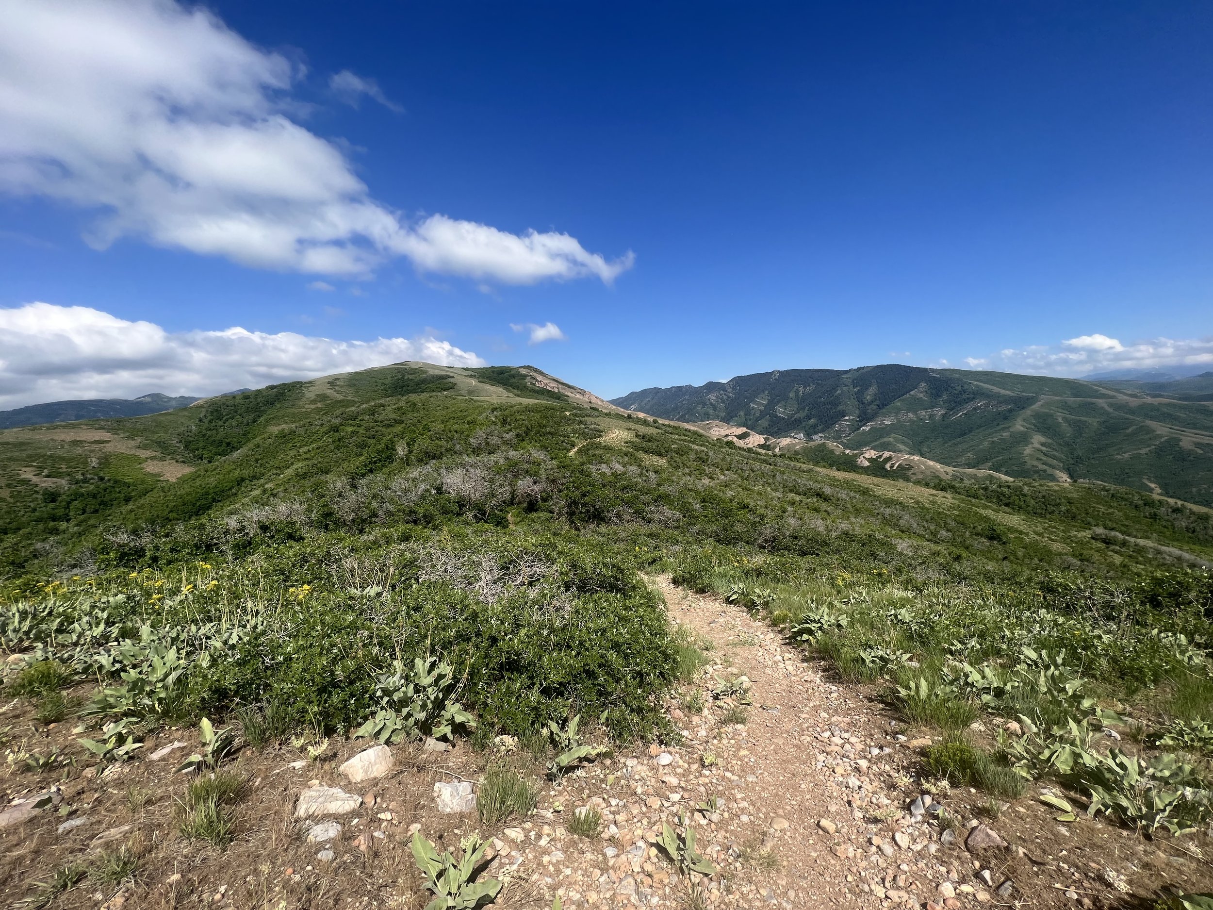
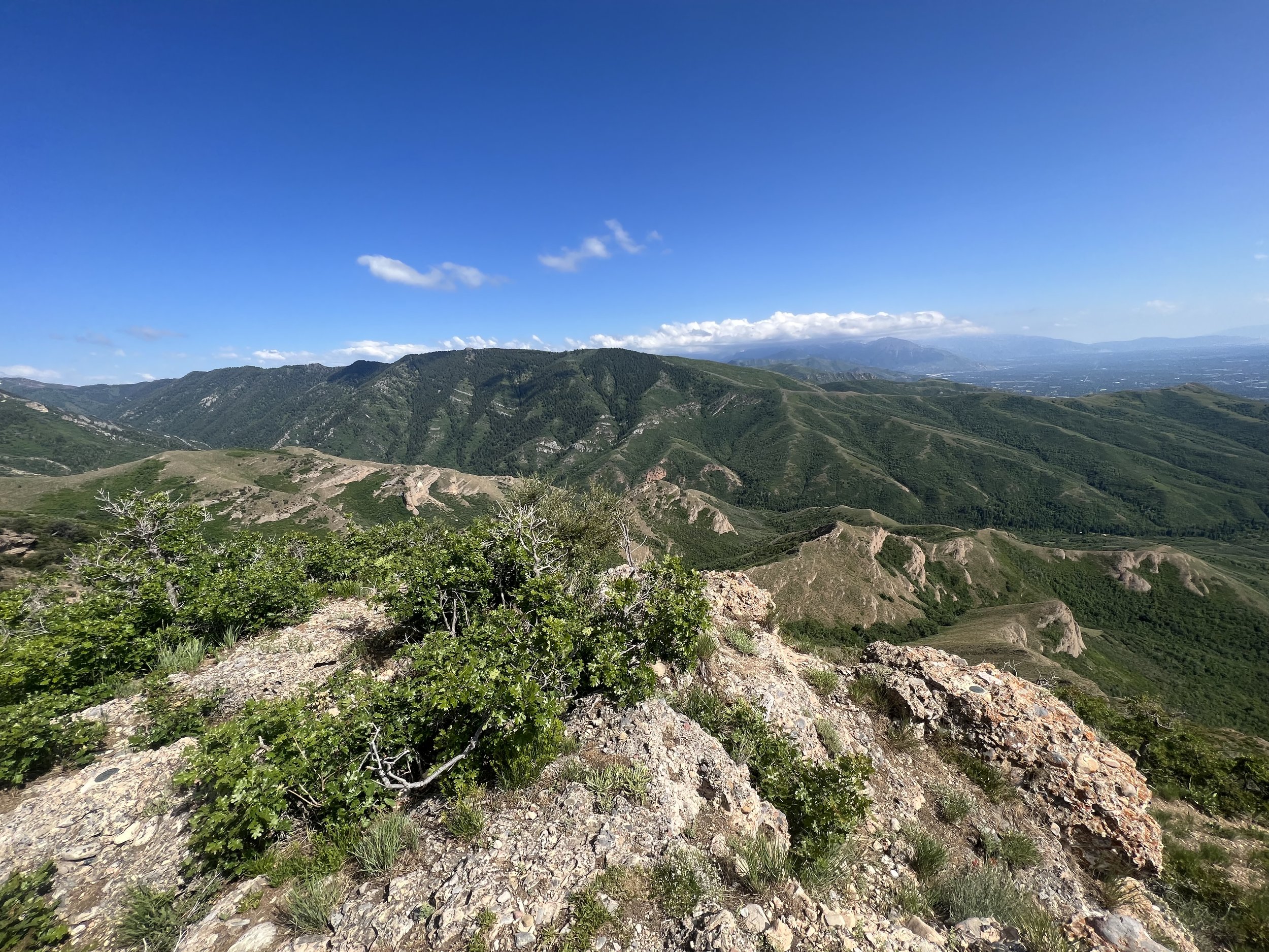
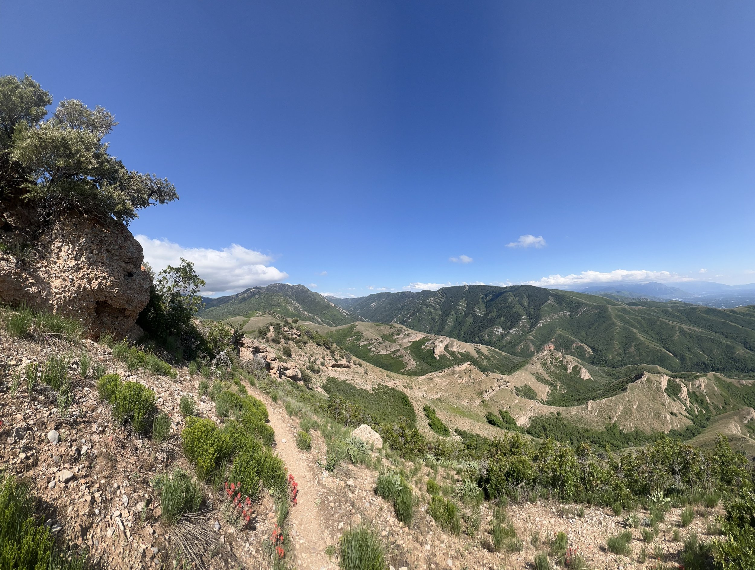

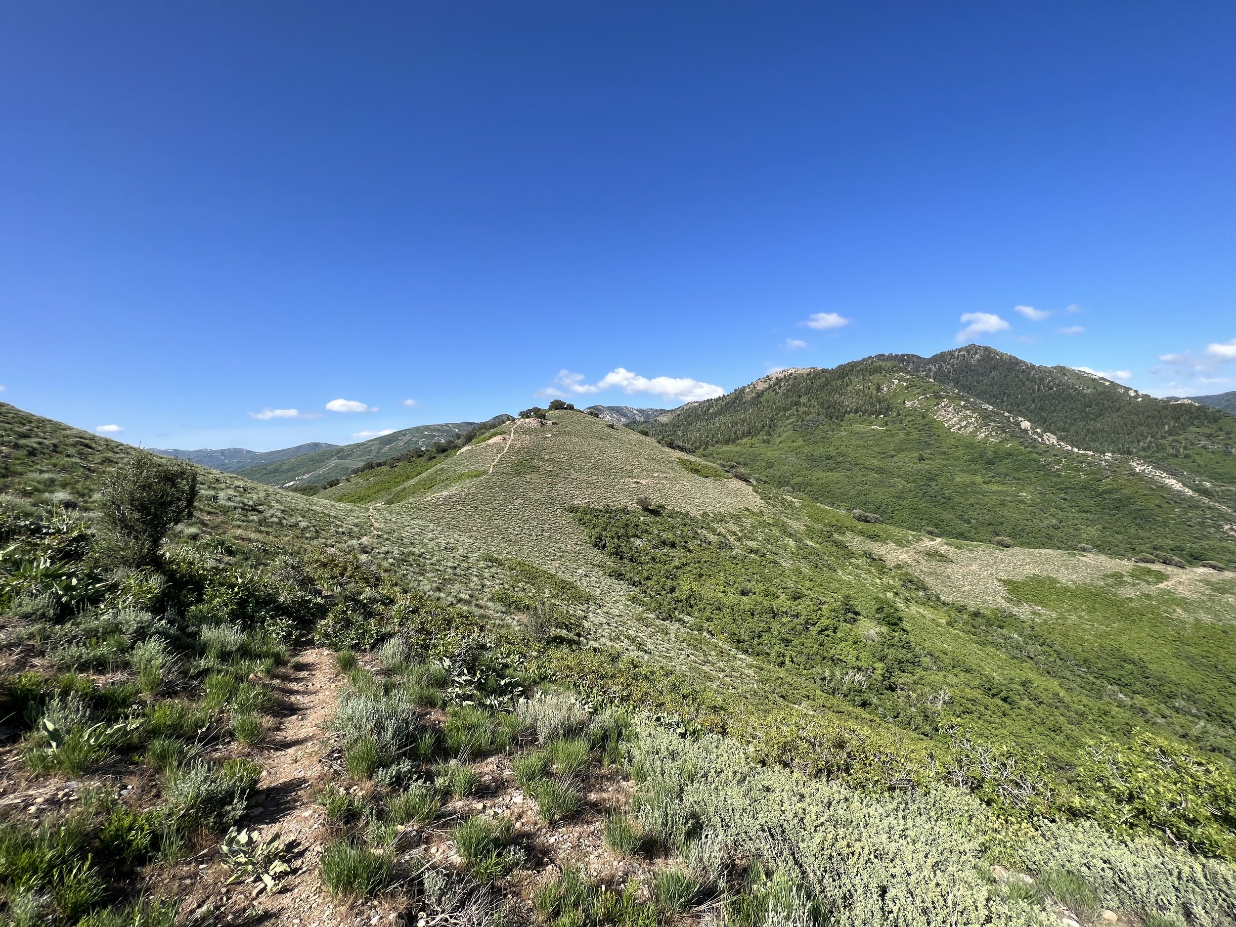
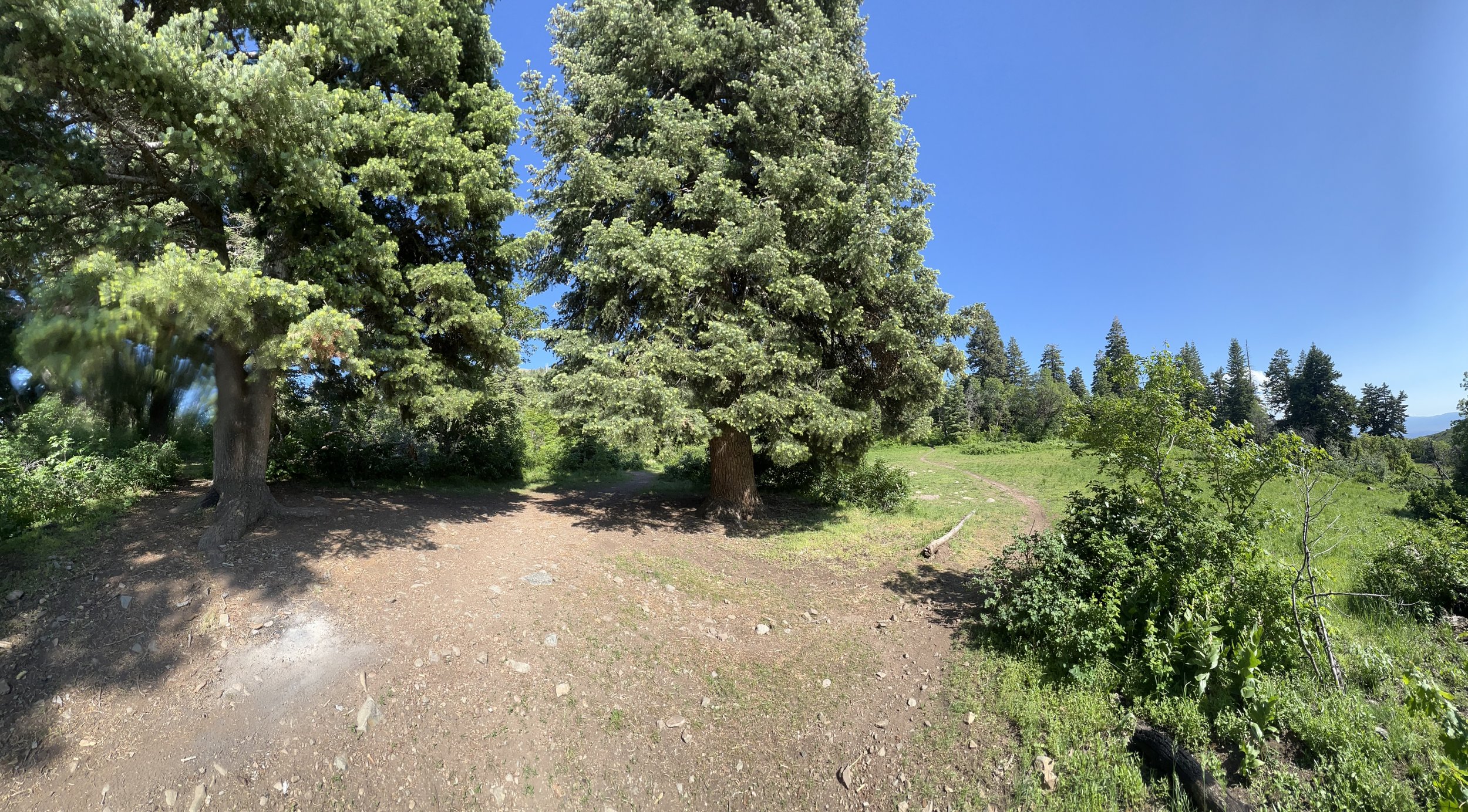
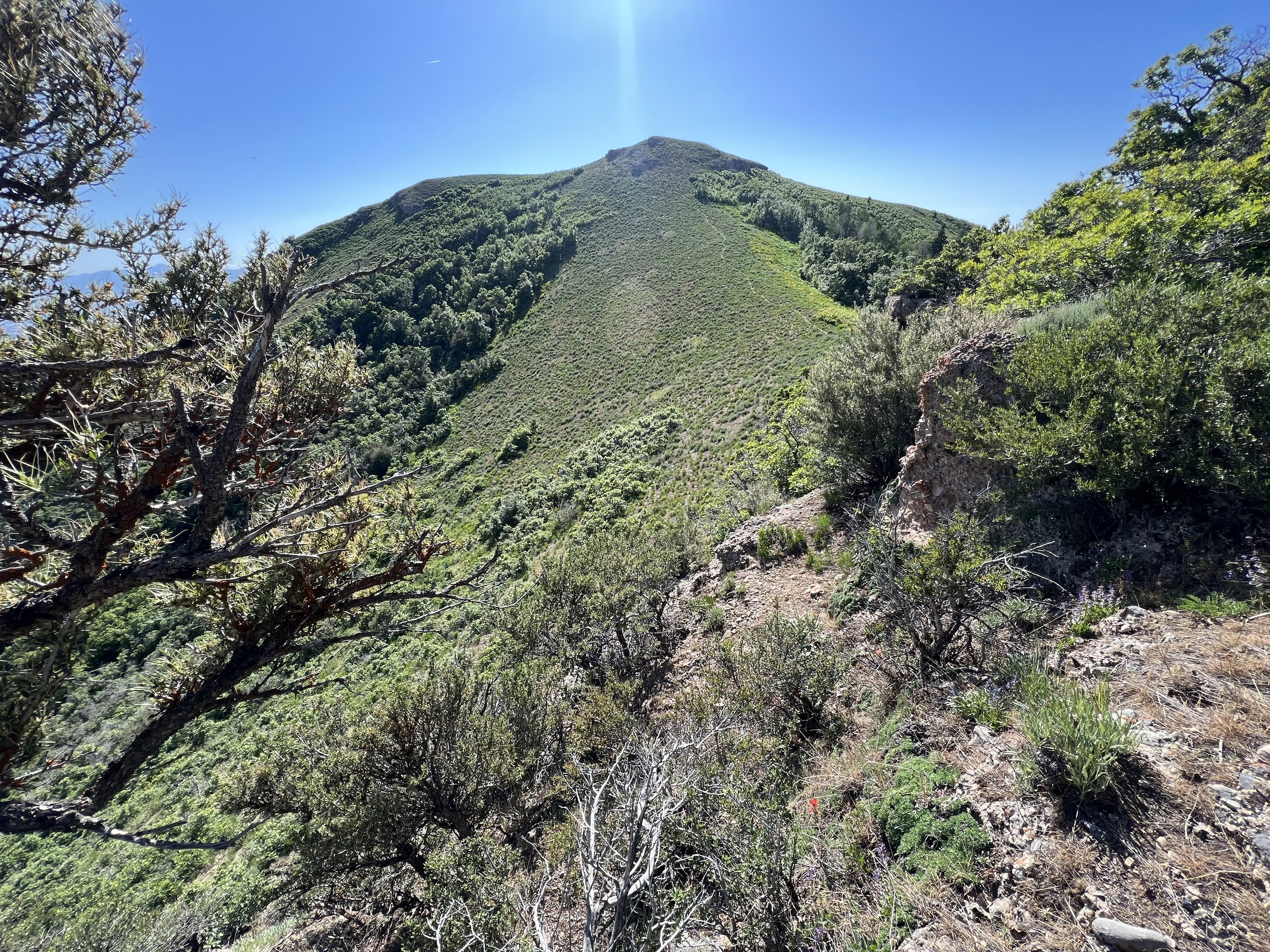
Summit 47 - Butterfield Peaks - June 18, 2023
Worth every minute of effort.
The drive up the canyon to this trail alone was absolutely gorgeous. About an hour’s drive from Cottonwood Heights, I was blown away when I got to the TH parking area and already had a view of valley below. The trail is only 1.5 miles but boasts a good amount of vert: 1,500ft. There were no other people on the trail, so I had the rocky singletrack all to myself. After meandering through some trees for a short bit at the start, the trail follows a ridge directly to the summit of Butterfield Peaks. The views just get better and better as both sides of the Oquirrh Mountains come in to view. There is a tower and a building at the summit of this one, with a second/sister summit to the west. I didn’t do the second Butterfield Peak though because it’s beyond the Salt Lake county line. Highly recommend this one, it’s a trek, but wow was that one worth it!
Images below: Ascending to the ridge, The view from the summit looking back north at the trail, From the summit looking northwest to Tooele, From the summit looking northeast toward Kennecott mine and Salt Lake, From the Summit looking west toward Kelsey Peak and White Pine Peak, The view heading back down to the pass along the trail.
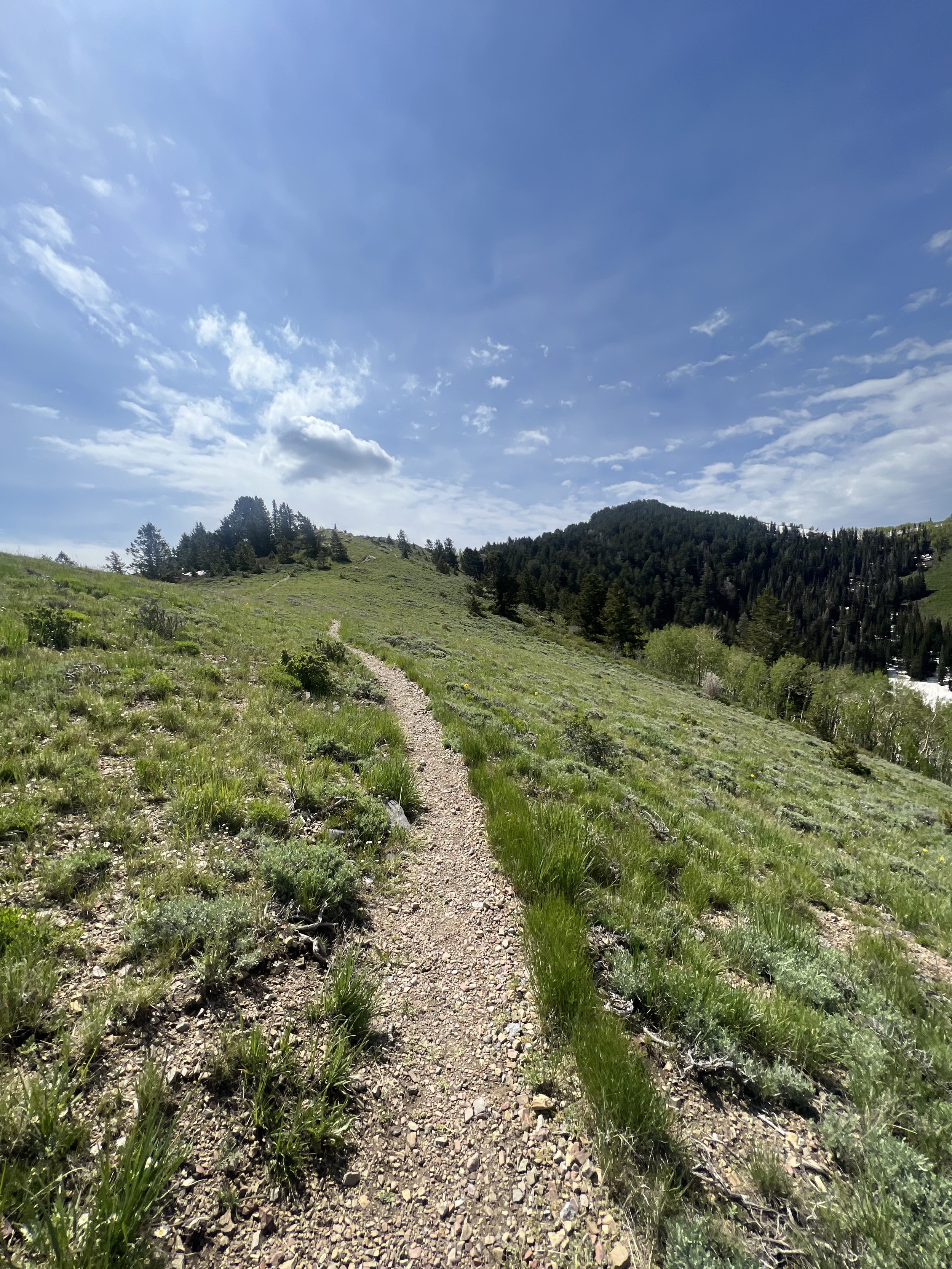
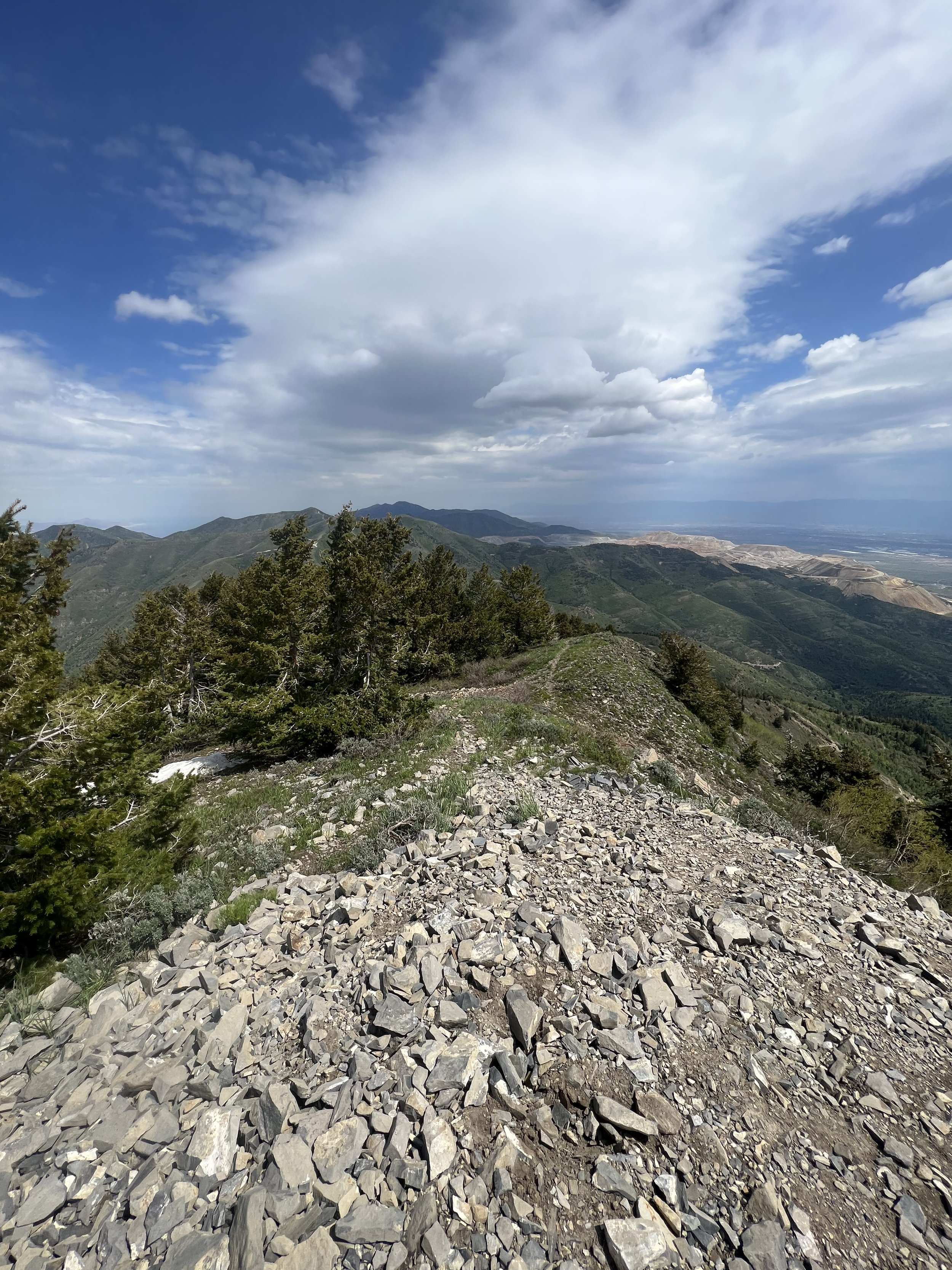
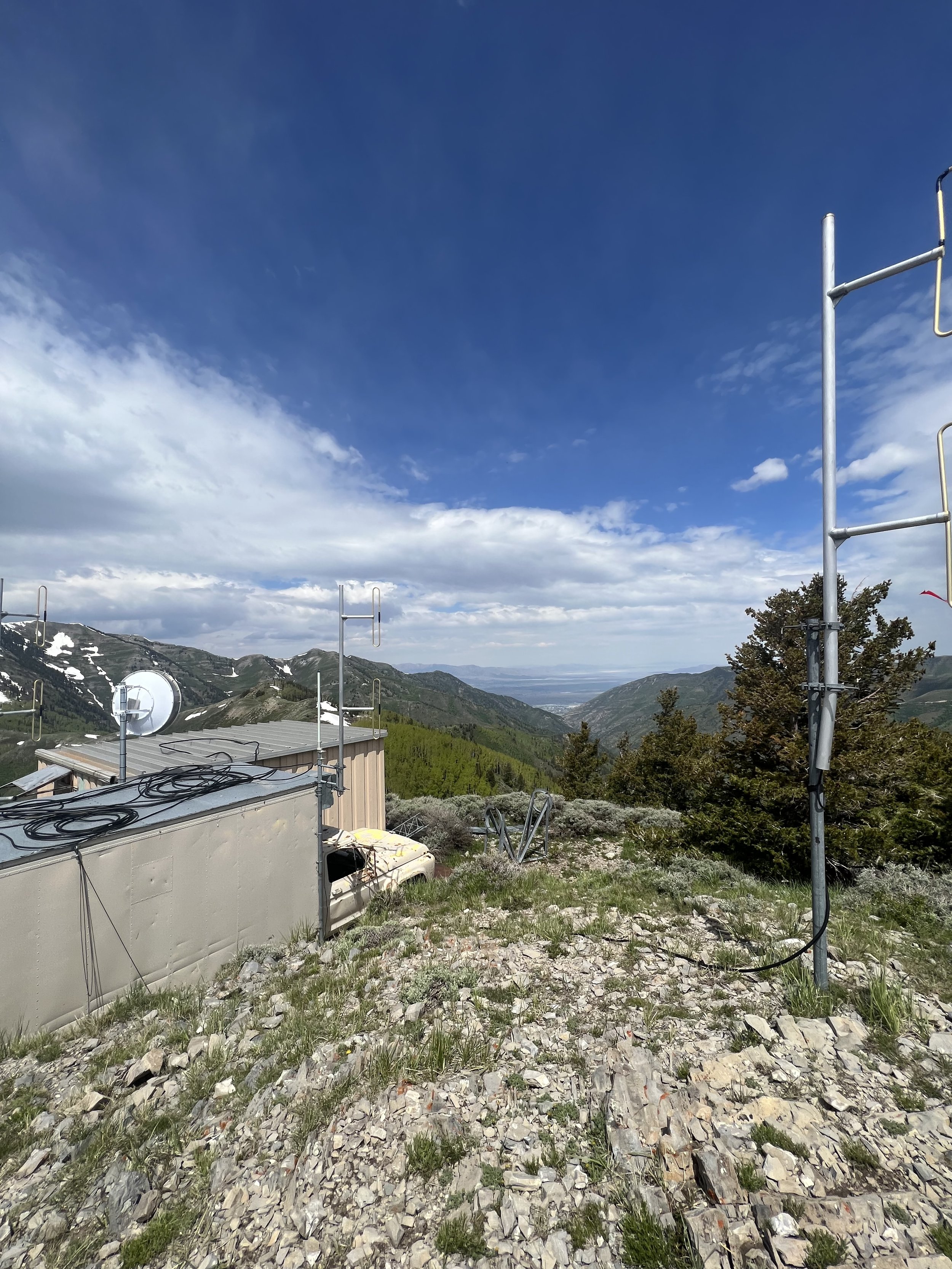
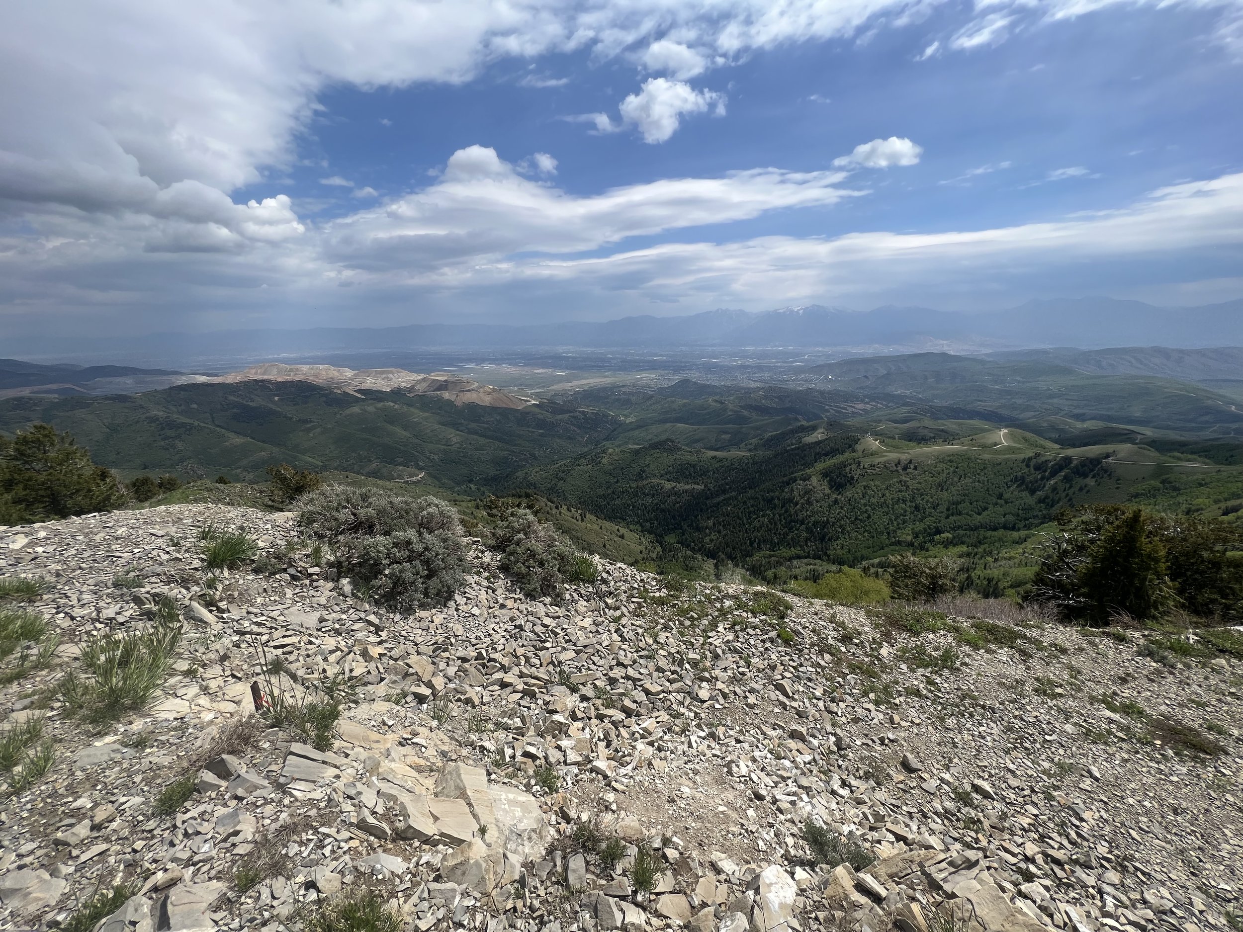
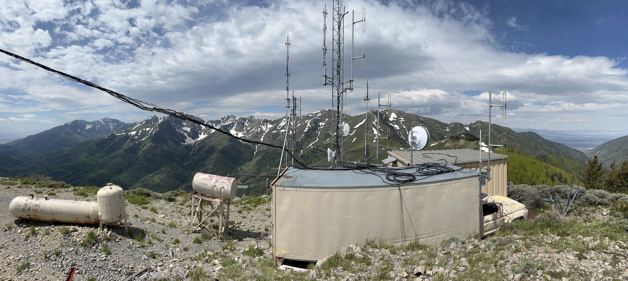
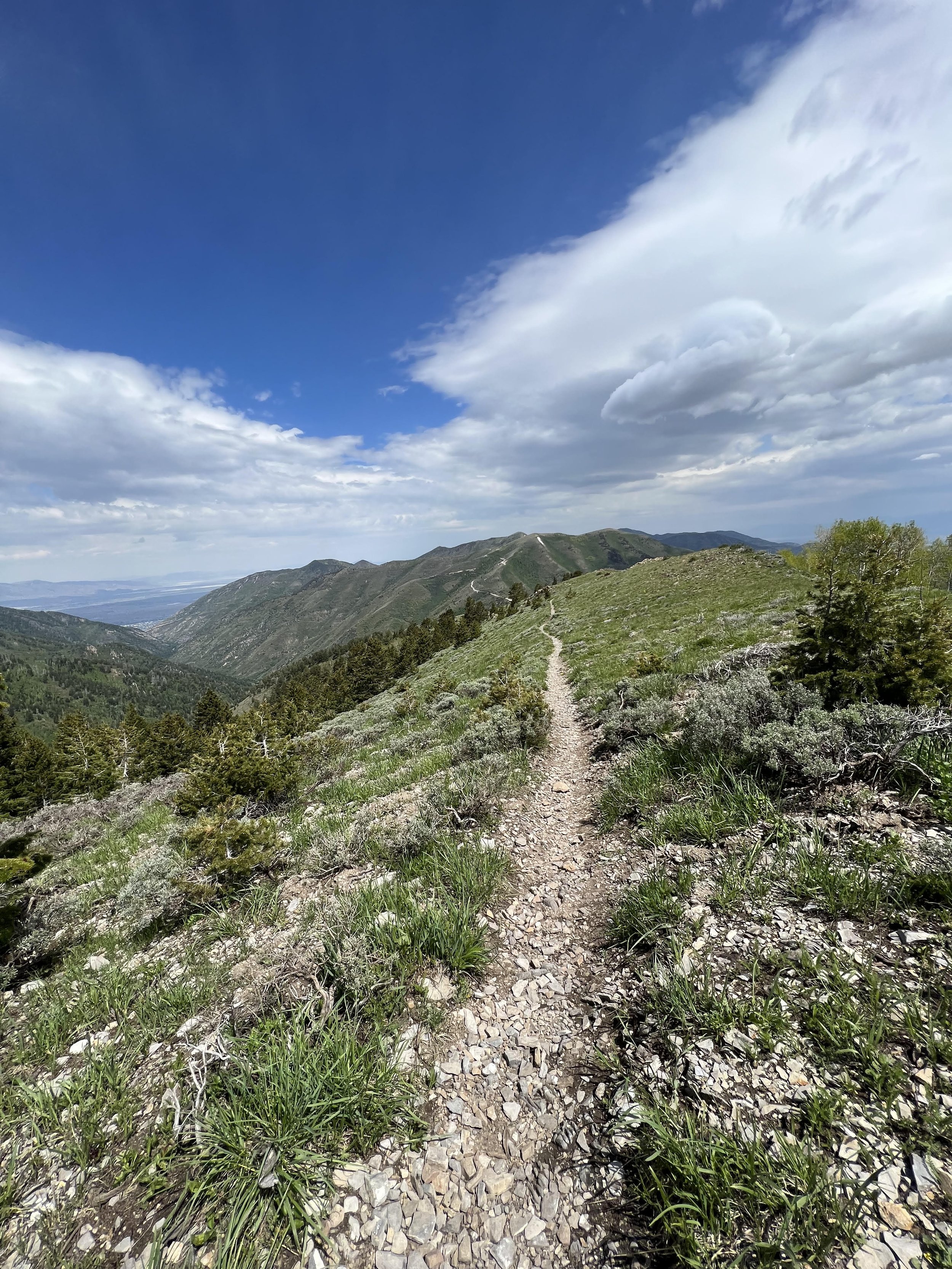
Summit 46 - Storm Mountain - June 17, 2023
Another classic summit that makes up the skyline visible from my living room. This one boasts some epic ski lines that occasionally fill in, but I think it’s most commonly done in the summer months. Numerous trip reports claim the trail higher up in Ferguson Canyon is “bushwhacking,” “overgrown,” and “steep.” We found it to be none of these things.
We started casually, around mid-morning. Rolled right up to an empty spot at the TH parking lot. Clicked on our watches and began to meander up the lower Ferguson Trail which we were familiar with from previous rock climbing outings. The trail is technical—just rocks with a creek flowing through some small sections. You can navigate it without too much effort or getting your feet wet though. A little ways up there is the waterfall which I believe is the destination for most visitors to this canyon, then farther up still is a nice overlook of the city. We continued up and the trail did seem too narrow as there was brush growing along the edges, but the ground is visible the entire way with some intermittent sections of rocky terrain, and overall a decent grade. We didn’t accumulate a single scrape from neither a bush nor a rock.
Once we hit the meadow, we opted to scramble the west ridge since we found the trail to be somewhat lacking in excitement. We picked our way up only feeling exposed maybe once with some low 5th moves on a vertical section. The rest was a hardy scramble to the summit which was quite nice. We ate a snack, took in the views, then scrambled off the east side and back down the trail the way we came. We stumbled past our first rattlesnake of the season too! How fun.
Images below: Keenan hiking through lower Ferguson Canyon, Salt Lake City from the viewpoint, Keenan hiking with Houndstooth in the background, At the end of the meadow where we would start to ascend the ridge to the left in the image, Me on the lower section of the ridge, Me about to climb the vertical section (could be bypassed, but we wanted some exposure), From the summit looking south with one of the Twins peeking through at the highest point, Me atop the summit, Us on the summit, The first rattlesnake of the year!
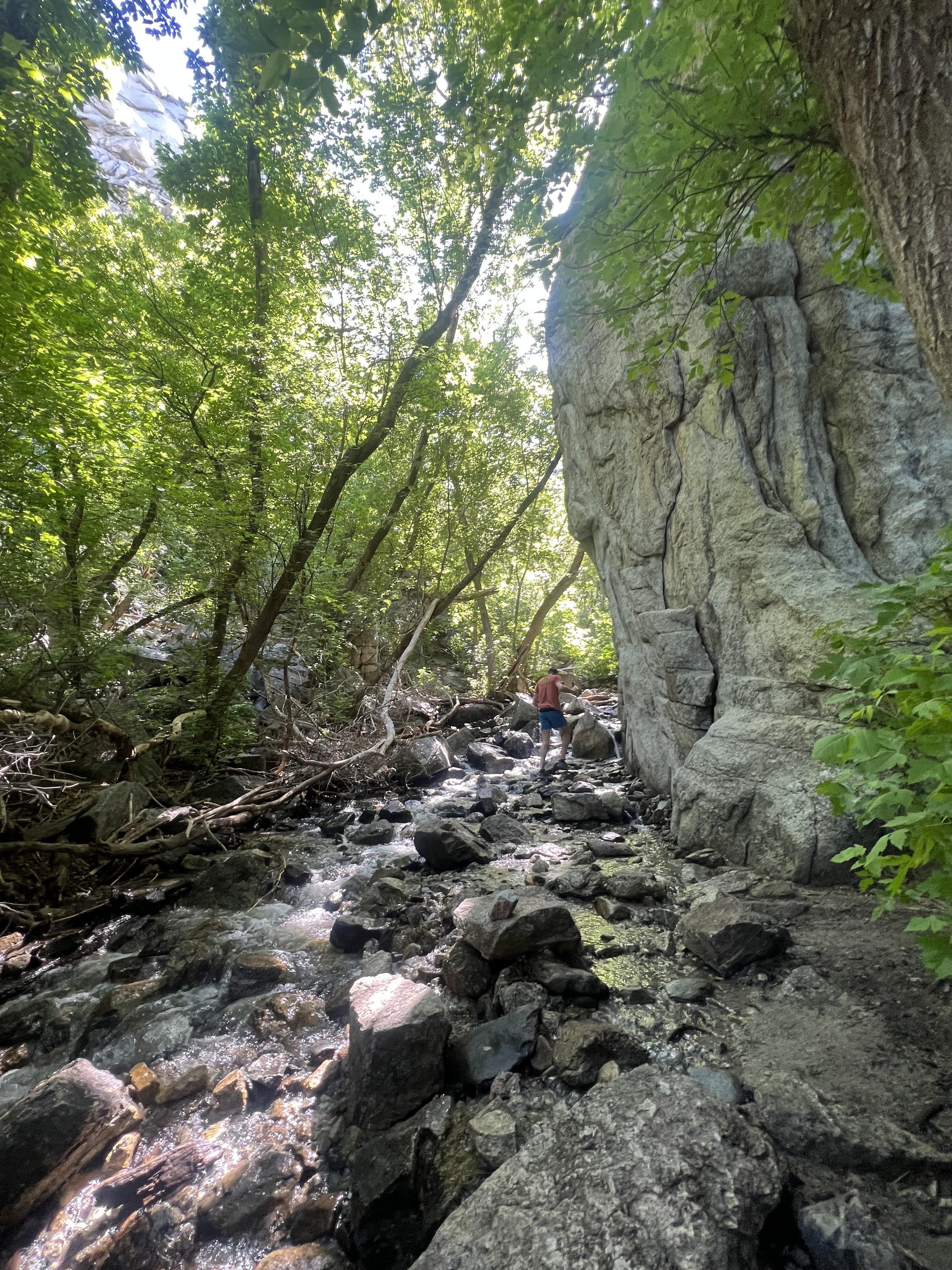
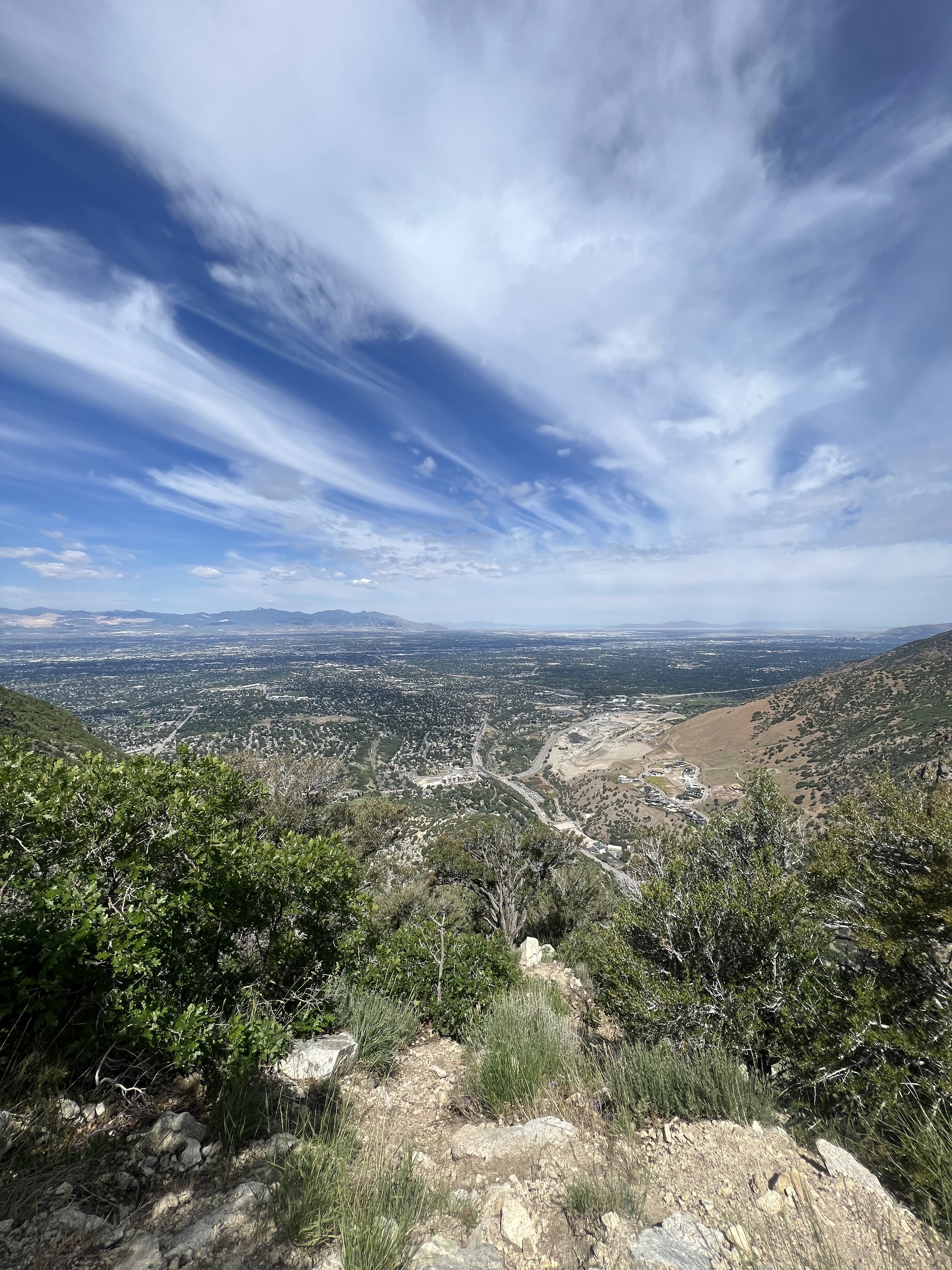
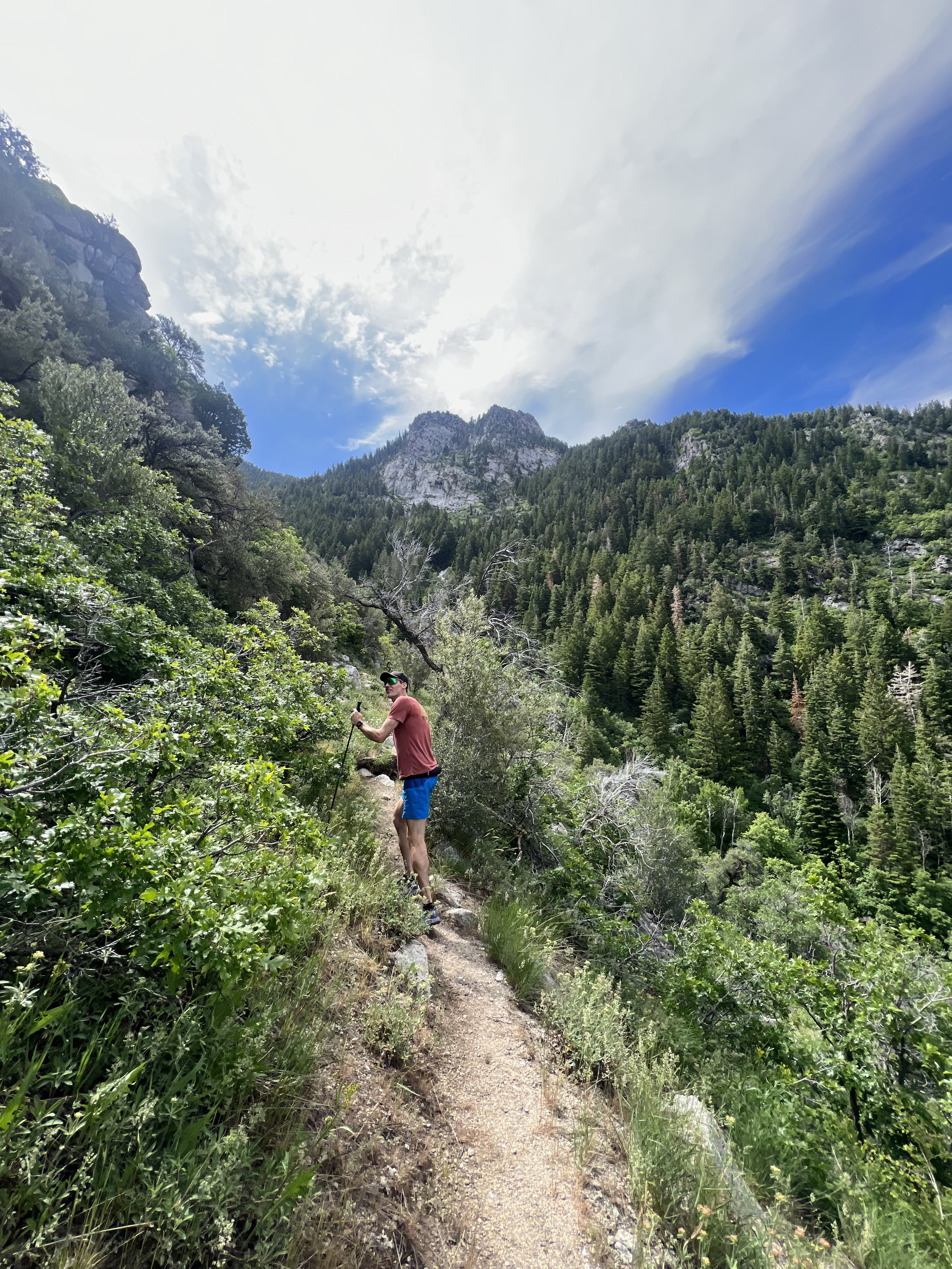
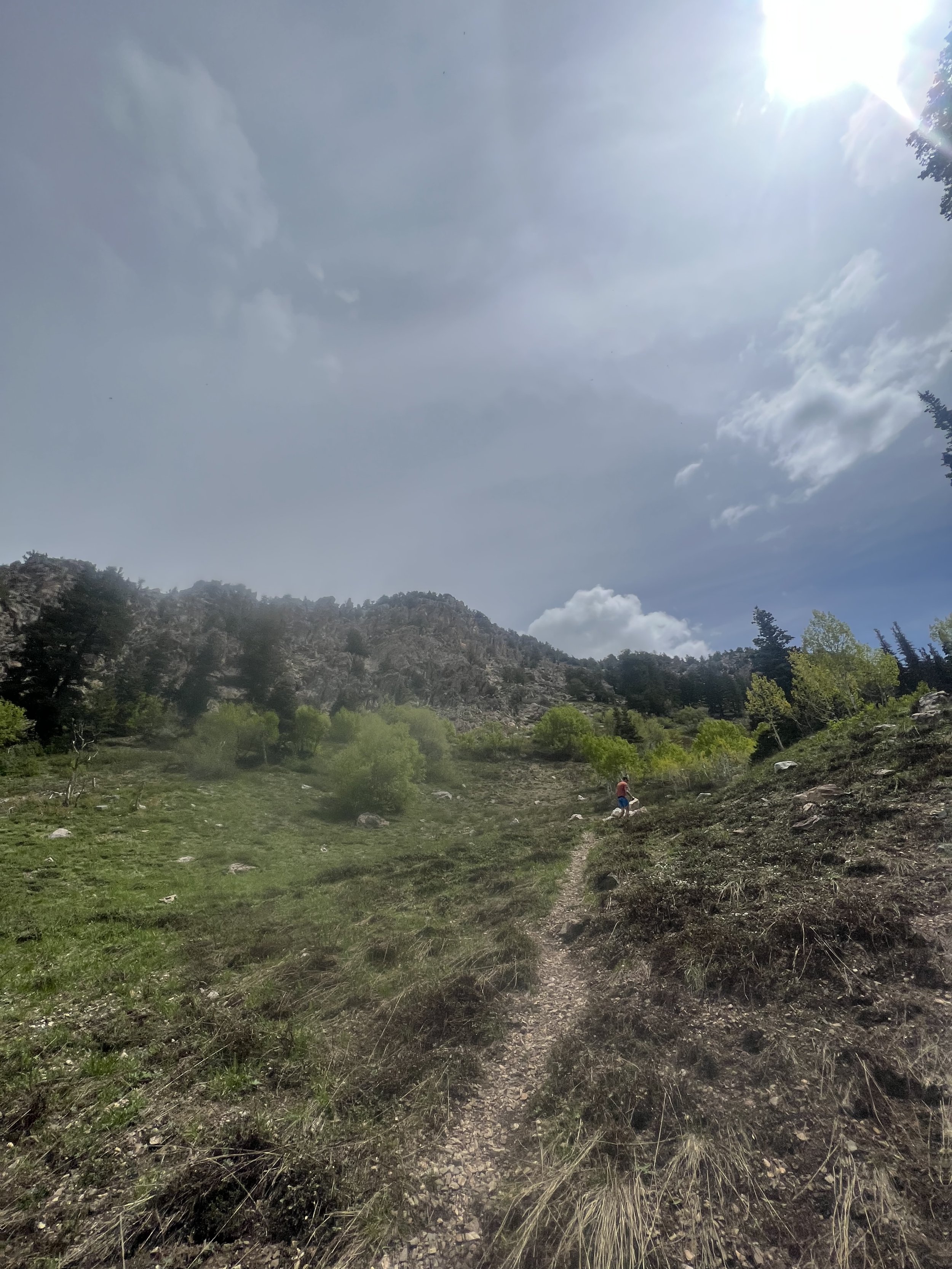
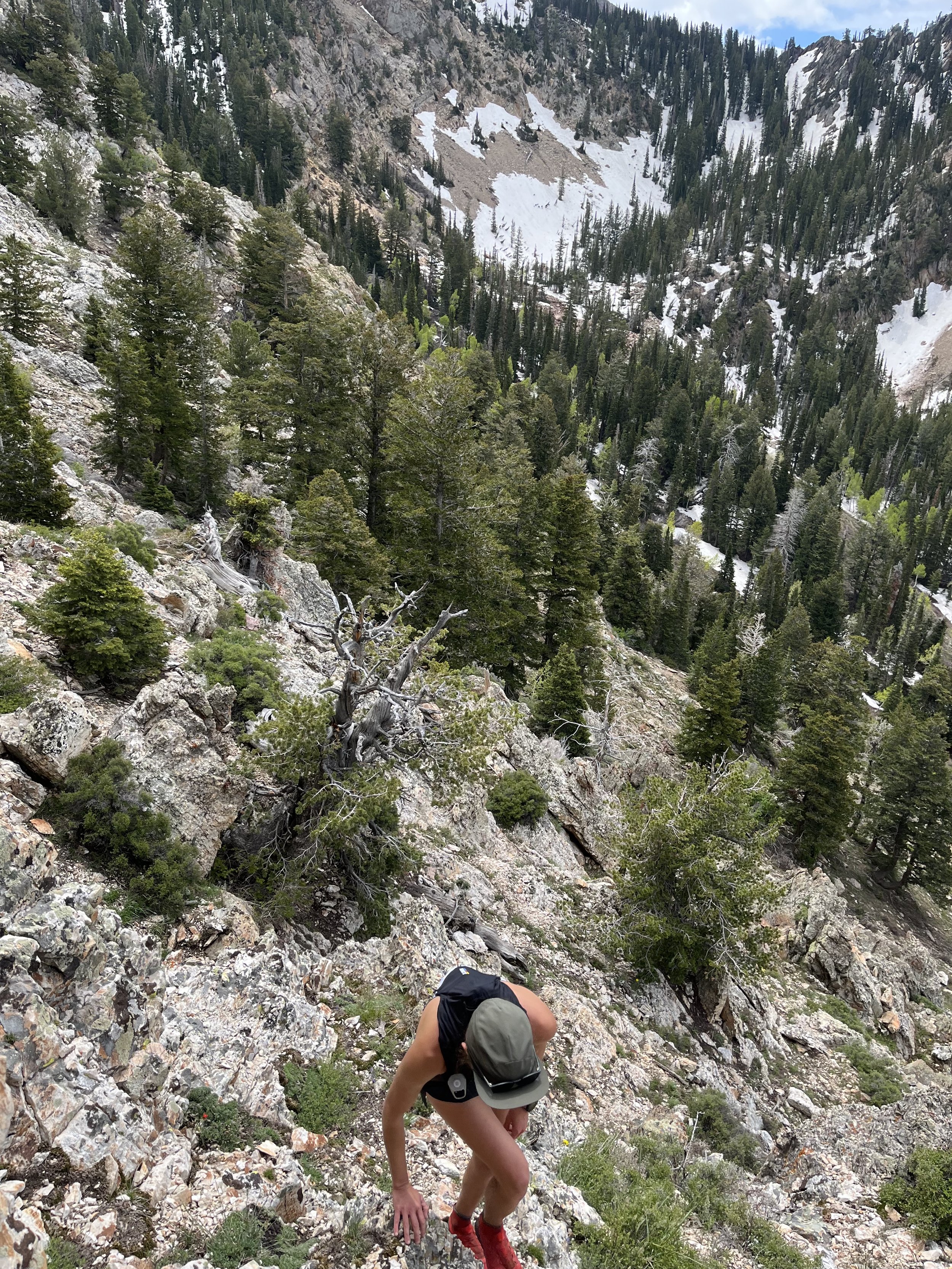
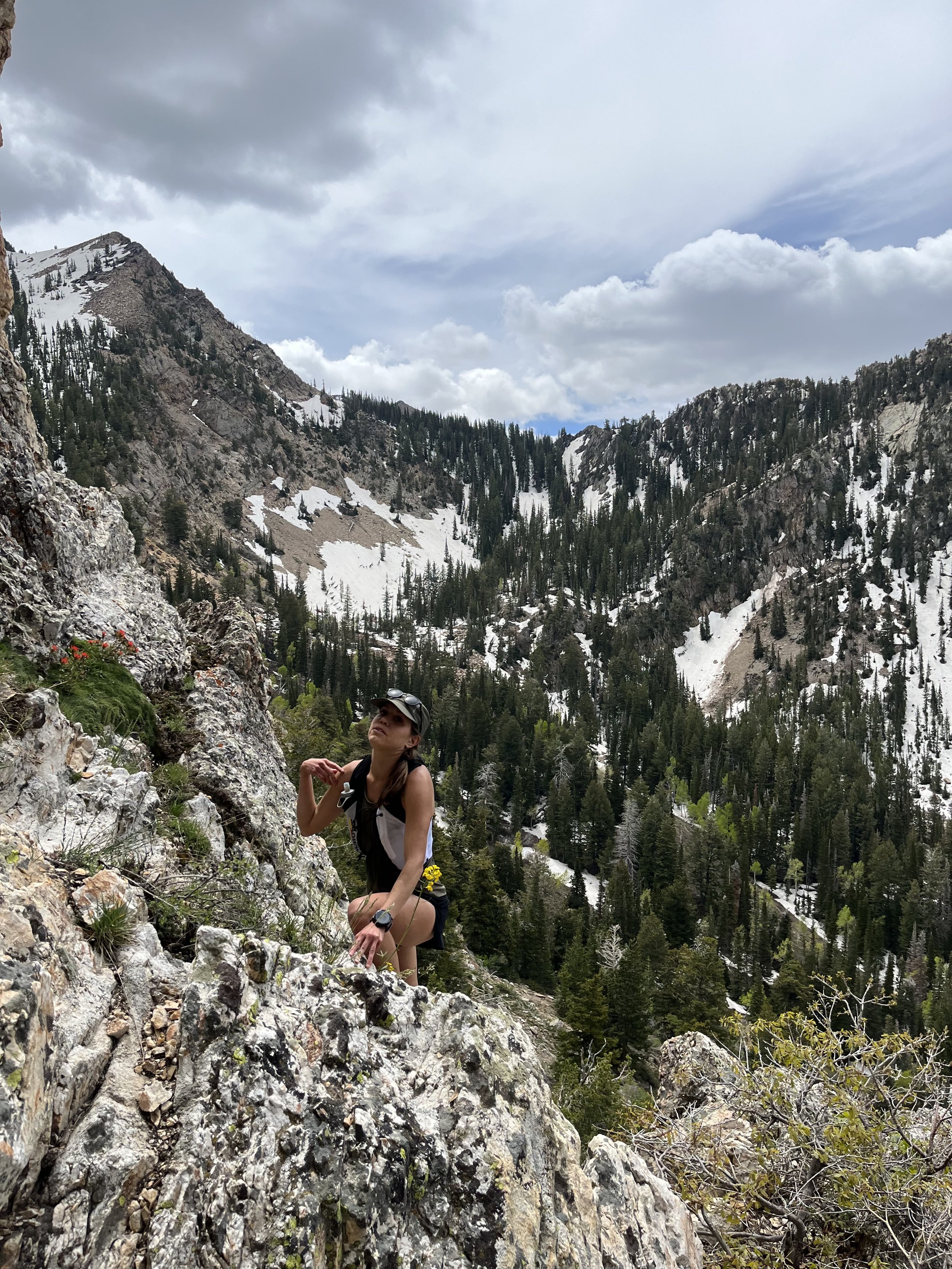
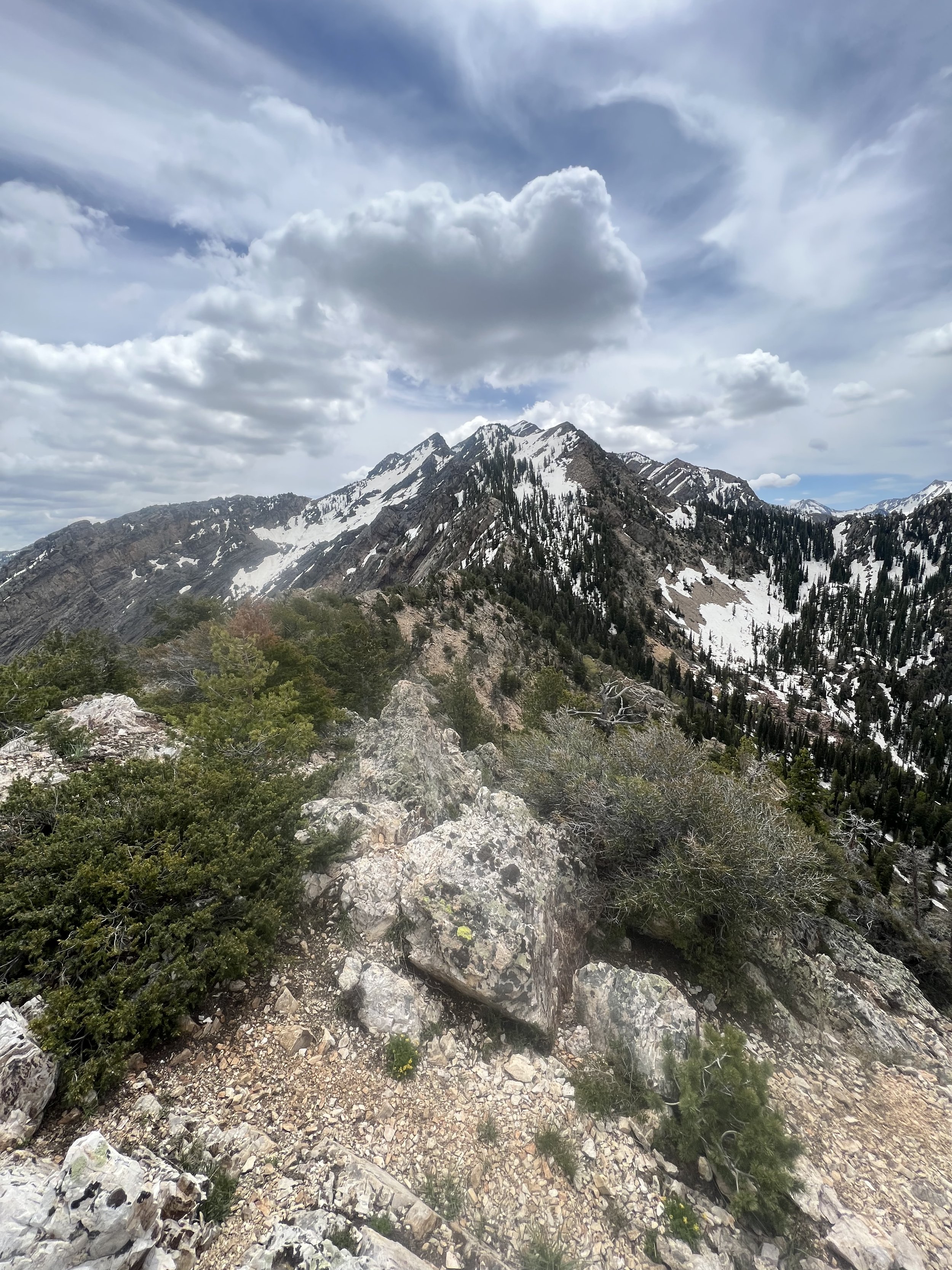
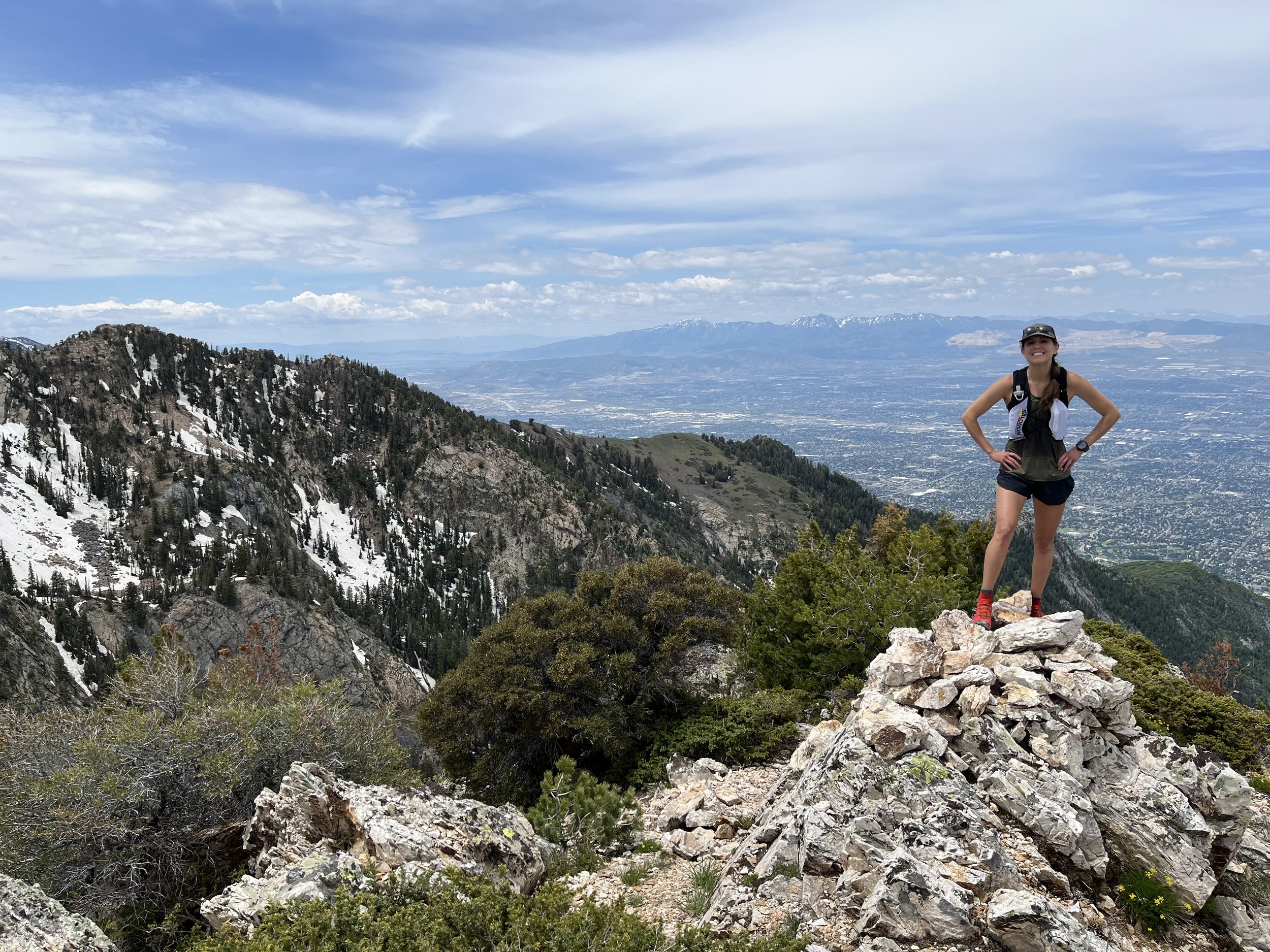
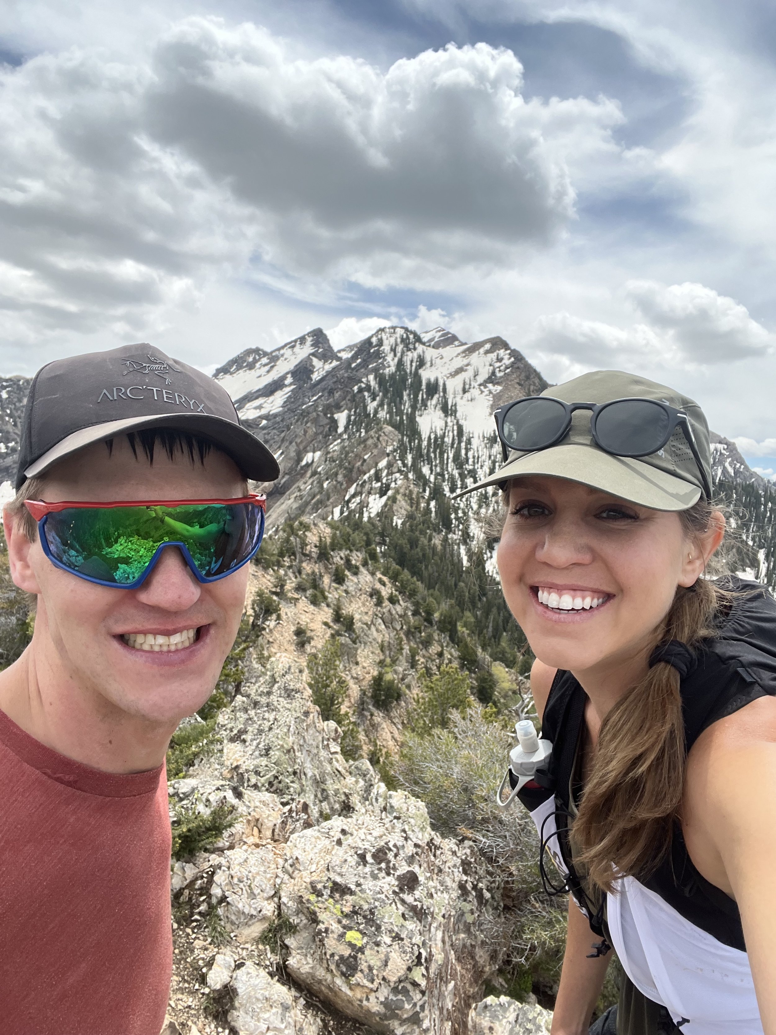
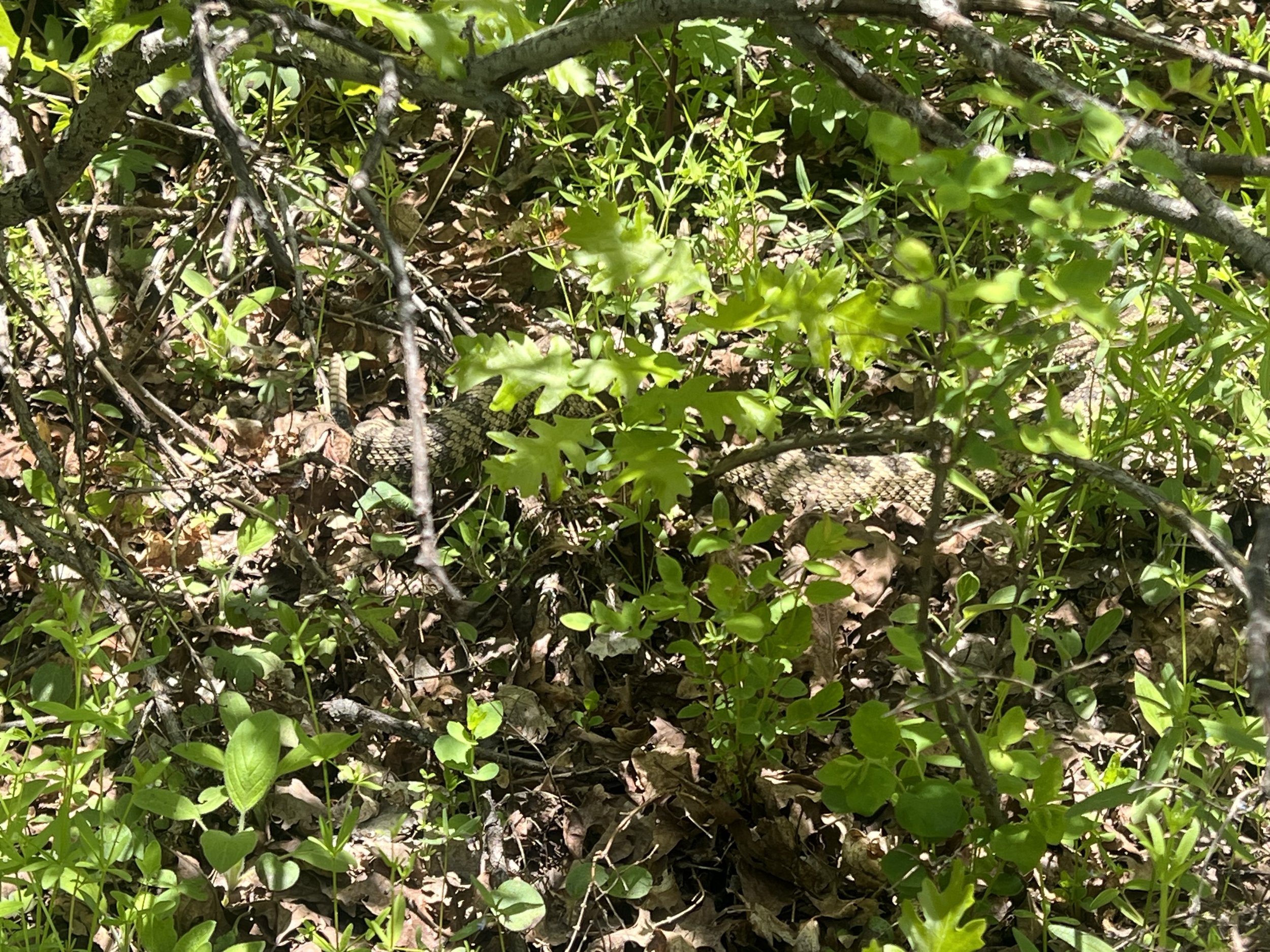
Summit 43-45 - Swallow Rocks, Big Mountain, Big Mountain South - June 16, 2023
Not bad, but not as enjoyable neighboring as Lookout Peak if I’m being honest. I started from Big Mountain Pass and headed up the Great Western Trail to Swallow Rocks first. The trail was okay, there was a nice section in mile 2 where there are aspens galore and some meadows. Once it meets the ridge, however, the trail meets with an old rocky road filled with babyheads. Conditions were mostly dry, but there were some large muddy puddles and a huge snow patch as you neared the Swallow Rocks junction. I took the fork to the left and then found a somewhat open section of the mountain to pick my way up it, off-trail. The views from the summit of Swallow Rocks were nice. But most places are when you have them to yourself. I feel such a yearning to bag Grandview after having seen what the trails around it offer. Soon!
I flipped directions to head back down the summit toward Big Mountain. I met up with Keenan at the lower fork, he biked up behind me but I hadn’t seen him since the parking lot. I ran back toward Big Mountain while he pushed his bike on most of the hills. We summited in what felt like a short amount of time, and the views for this one were okay. Yeah, just okay. Keenan blitzed down the trail and I started to head back as well. Since it was a little later in the day now, there were some hikers to dodge, presumably going to Big Mountain. Once I hit the pass, I decided to add on another summit since I had some time to burn while Keenan continued biking down the canyon to the reservoir. The Great Western Trail saddles the pass and continues in the southern direction, and less than a mile on the trail would take me to the ridge where I could meander to grab Big Mountain South. Already on my longest run since I broke my ankle, I figured it would be worth it to at least scope this area before heading back again to bag Baldy and the numbered peak to the south.
The ridge to Big Mountain South was pure bushwhacking. Despite the satellite image appearing to have a trail, it most certainly did not. Nonetheless, it was too late to turn back and I figured it couldn’t be that long. I kept moving toward the summit marker according to my maps (Strava GPS and Cal Topo), once I arrived at what clearly looked like the highest point and correlated to the dots on both maps, I let out a good laugh. It was all trees and scrub oak—no view. I think I enjoyed this part of the run most. I turned around, shwhacked my way back to the trail, and flew down to the pass as fast as I could on tired legs. The whole jog was approximately 12.1 miles in a little over 2 hours and 45 minutes (including stopage). Not bad for my first double digit run since breaking my ankle!
Images below: Cresting the ridge looking north toward Swallow Rocks in the distance, From the summit of Swallow Rocks looking toward Grandview Peak, From the summit of Swallow Rocks looking back down the ridge to Big Mountain, The short climb to Big Mountain, Me approaching the summit of Big Mountain taken by Keenan, Keenan on top of Big Mountain (he biked while I ran), The very shwacky ridge to Big Mountain South, The treed in summit of Big Mountain South (i confirmed I was in fact on the summit with gps/topo).
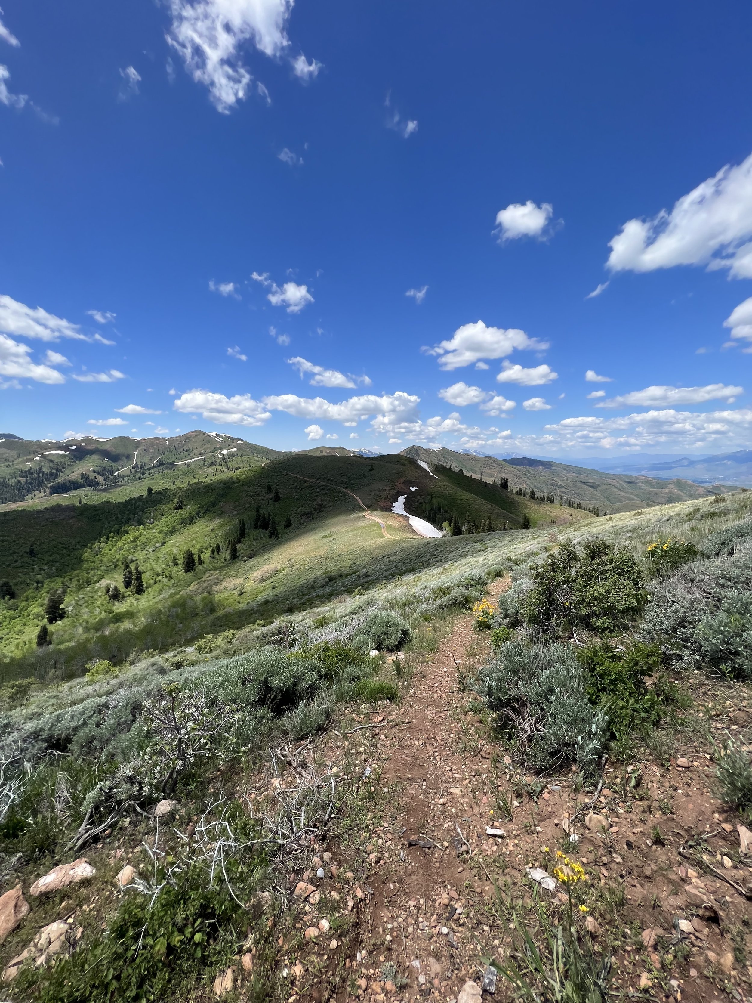
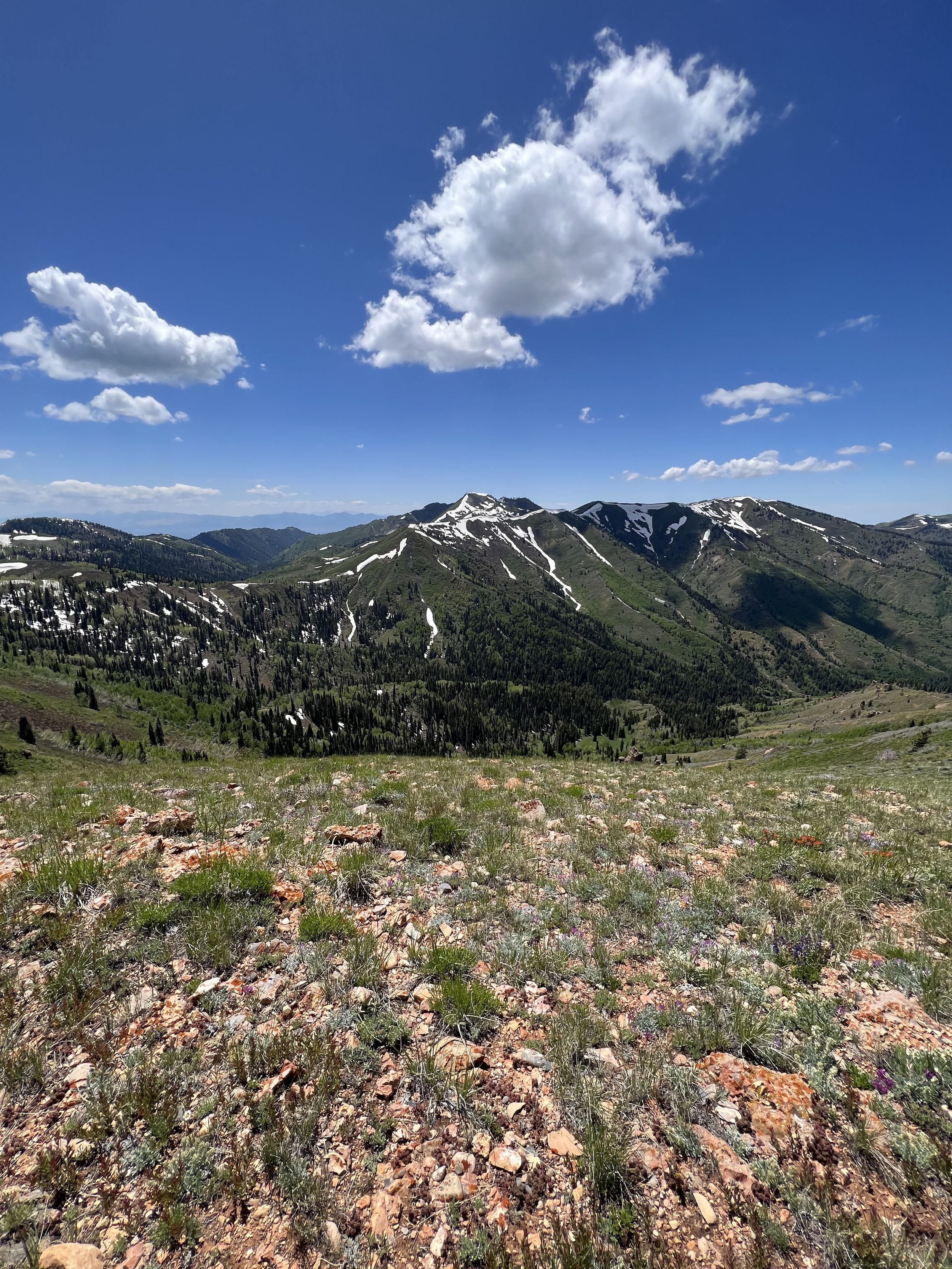
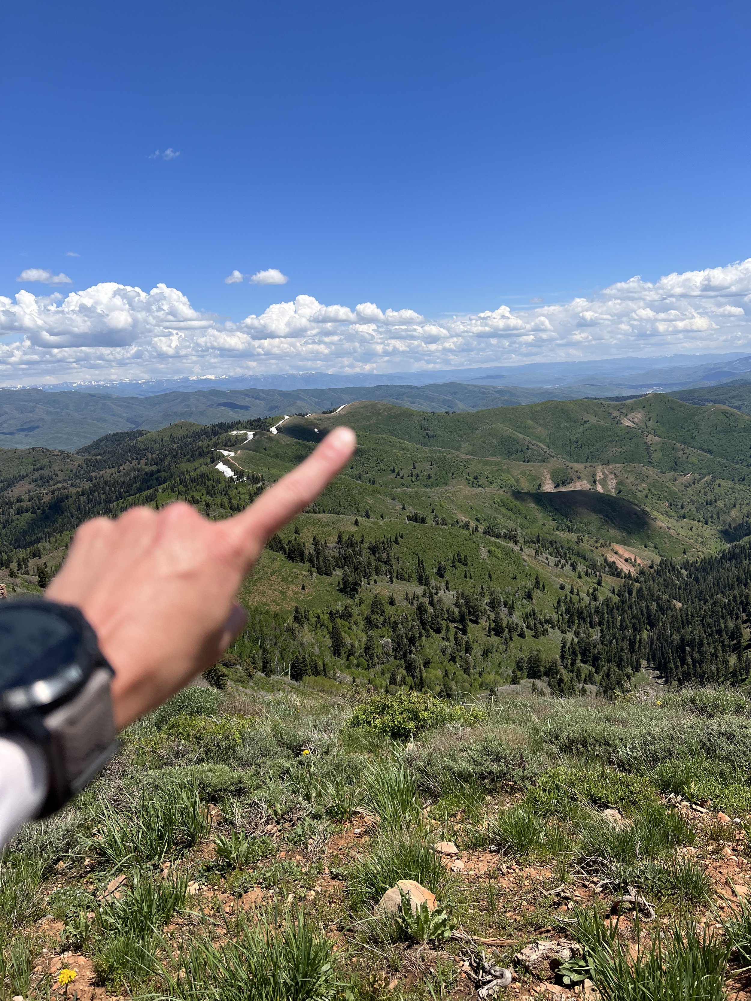
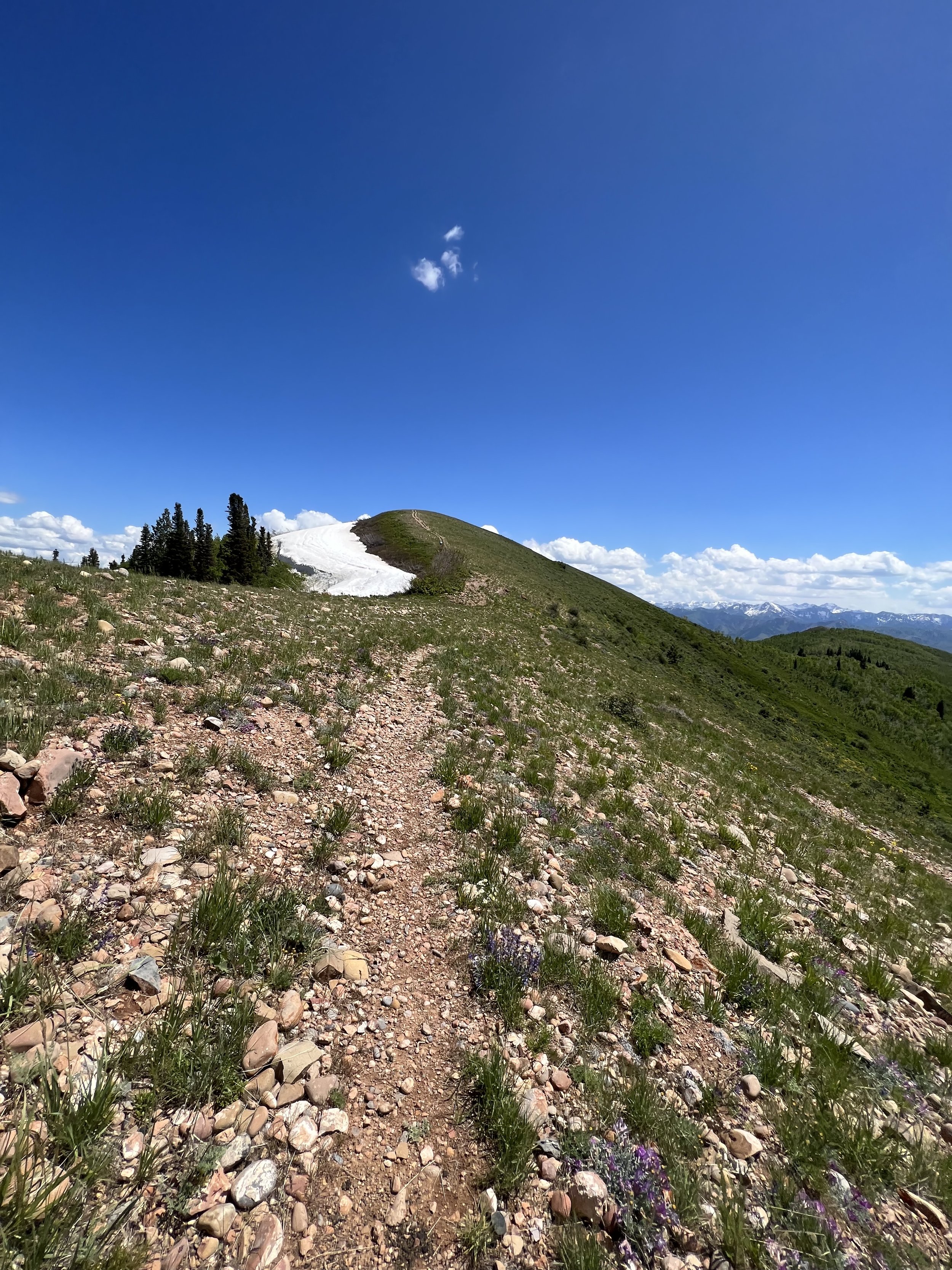

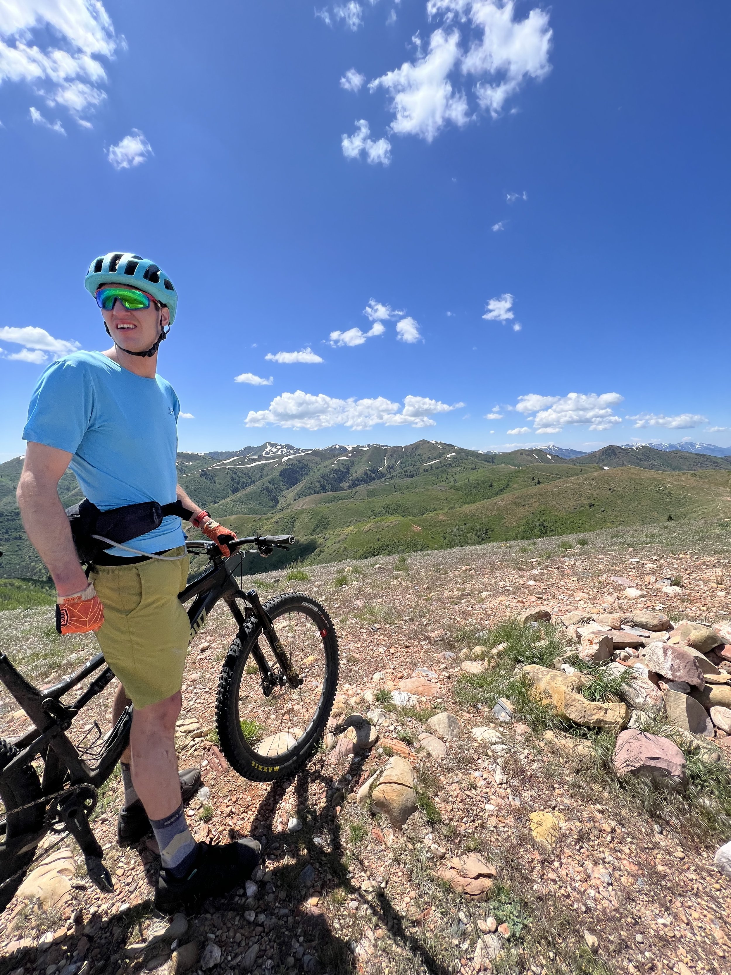
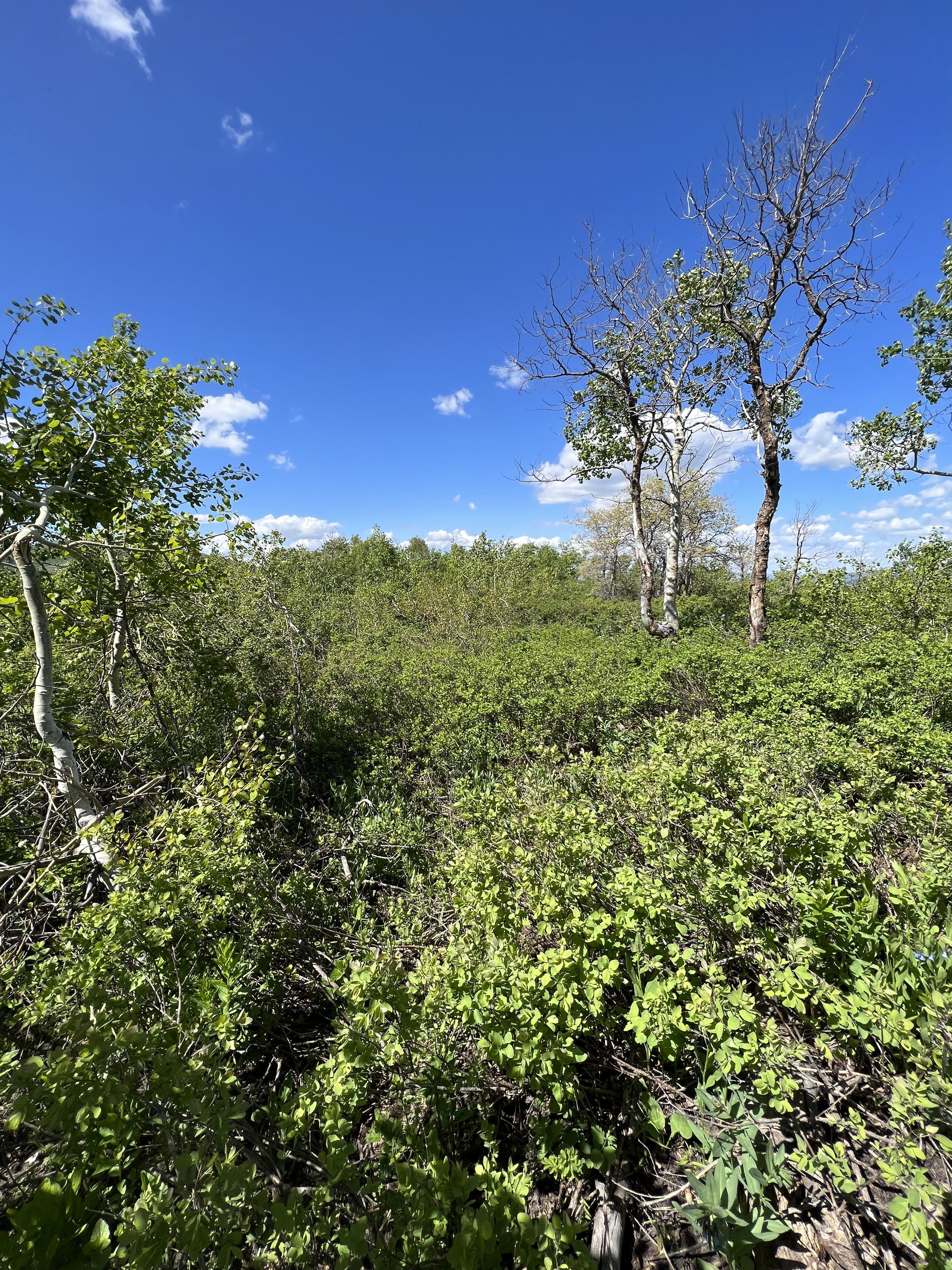
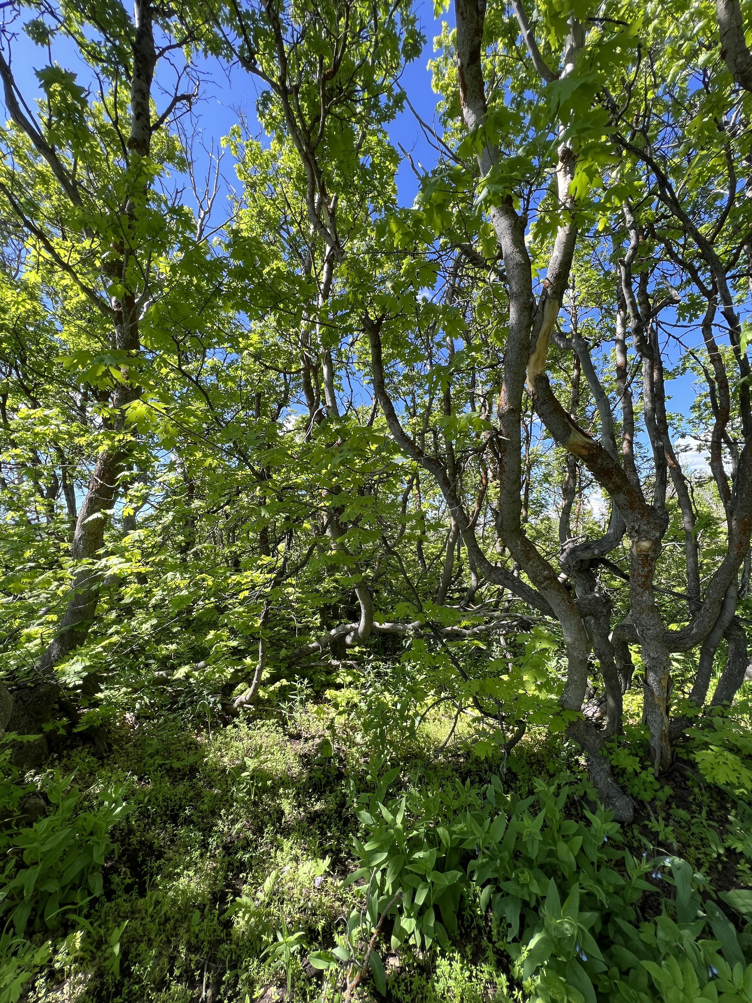
Summit 42 - Lookout Peak - June 14, 2023
WOW. This is definitely my favorite summit so far. Why? The trail leading to the summit was narrow, overgrown in spots, technical, but just the right grade and just the perfect spring blooms. The whole ridge to the summit boasted incredible views of the valleys and mountains surrounding the greater Salt Lake area to the east. Once atop the summit, there was pristine views of Grandview, City Creek, Black Mountain, Mount Wire ridge, Perkins Ridge, Millcreek ridge, Big Cottonwood ridge, Little Cottonwood Ridge, Lone Peak, Summit Park, Bald Mountain, Emigration Canyon, and then even the Oquirrhs and the Great Salt Lake off in the distance to the west. I will repeat this one in different seasons to get the full breadth of this one. Unreal.
Images below: The lower meadow just after taking the 4 corners fork, The start of the ridgeline with the false summit in view, Atop the sister summit to Lookout looking across the last section of trail to the true summit, The last big drift of snow blending with the sky, From the summit looking north to Grandview, From the summit looking south toward the the snowcapped summits in the Cottonwood Canyons.
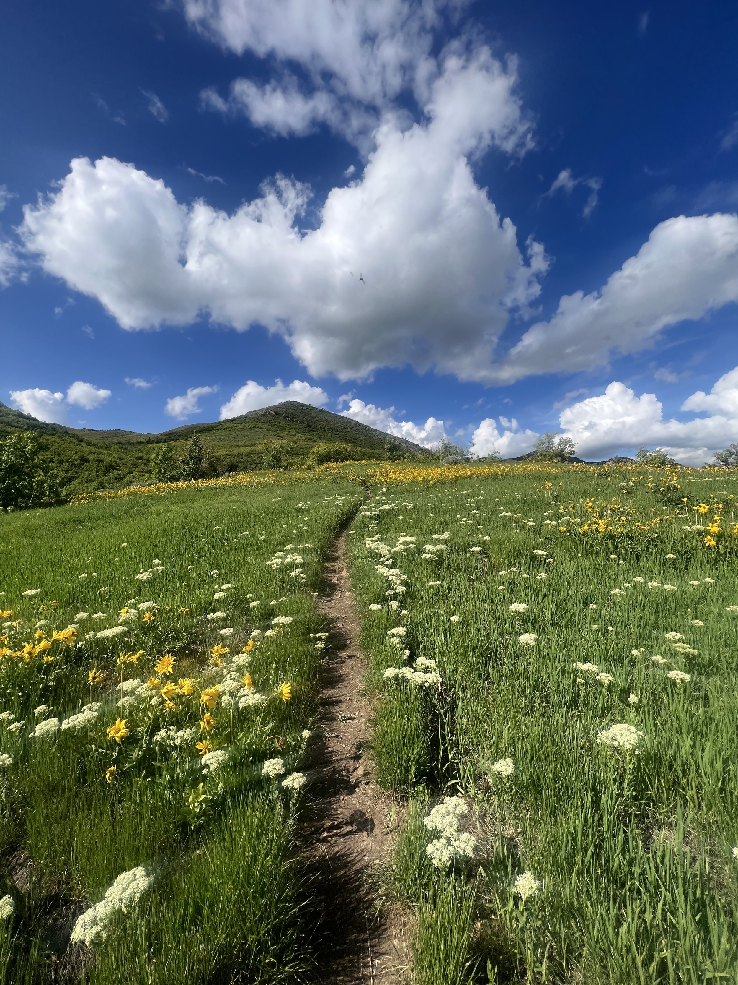
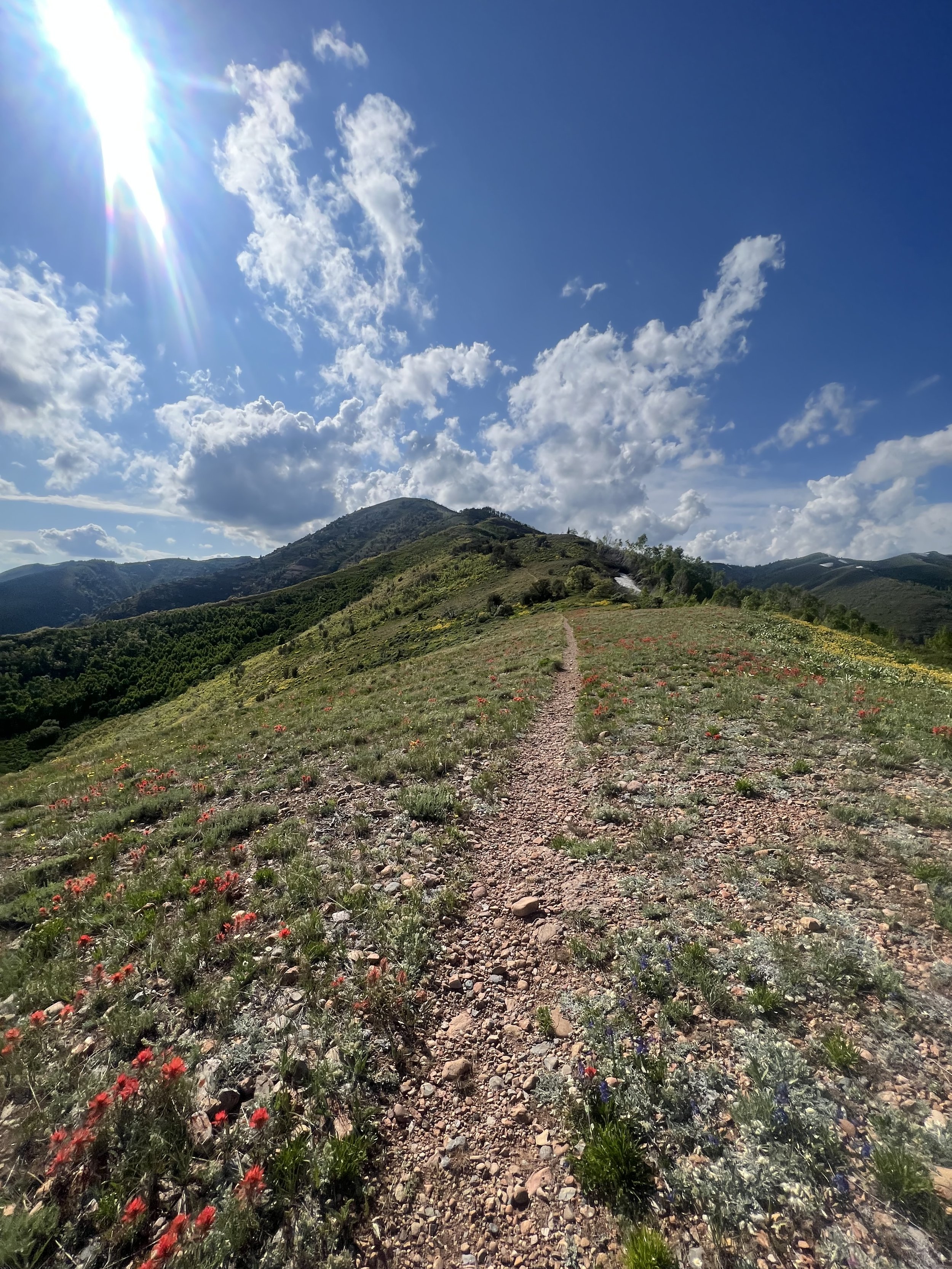
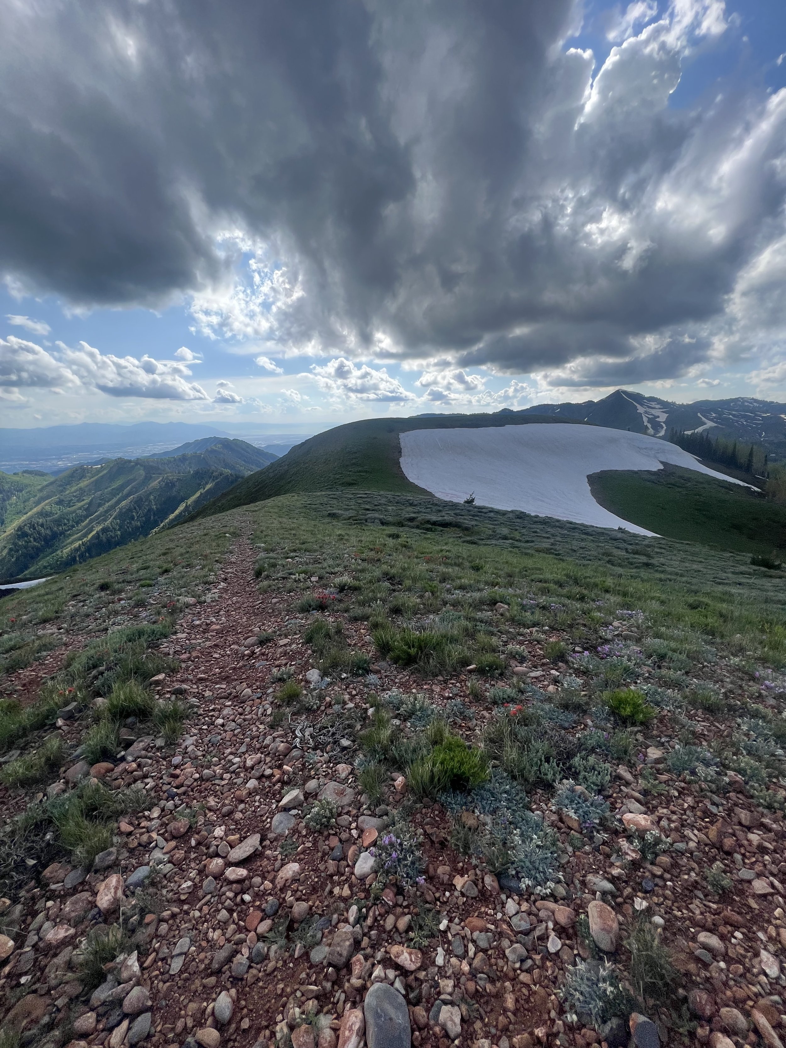
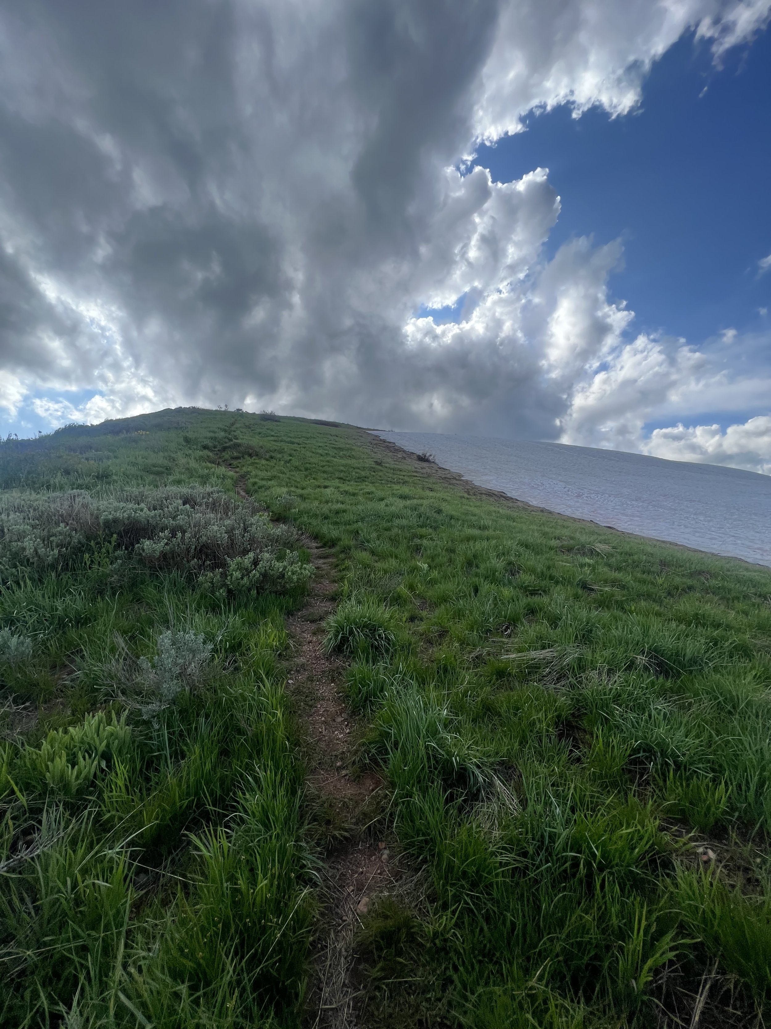
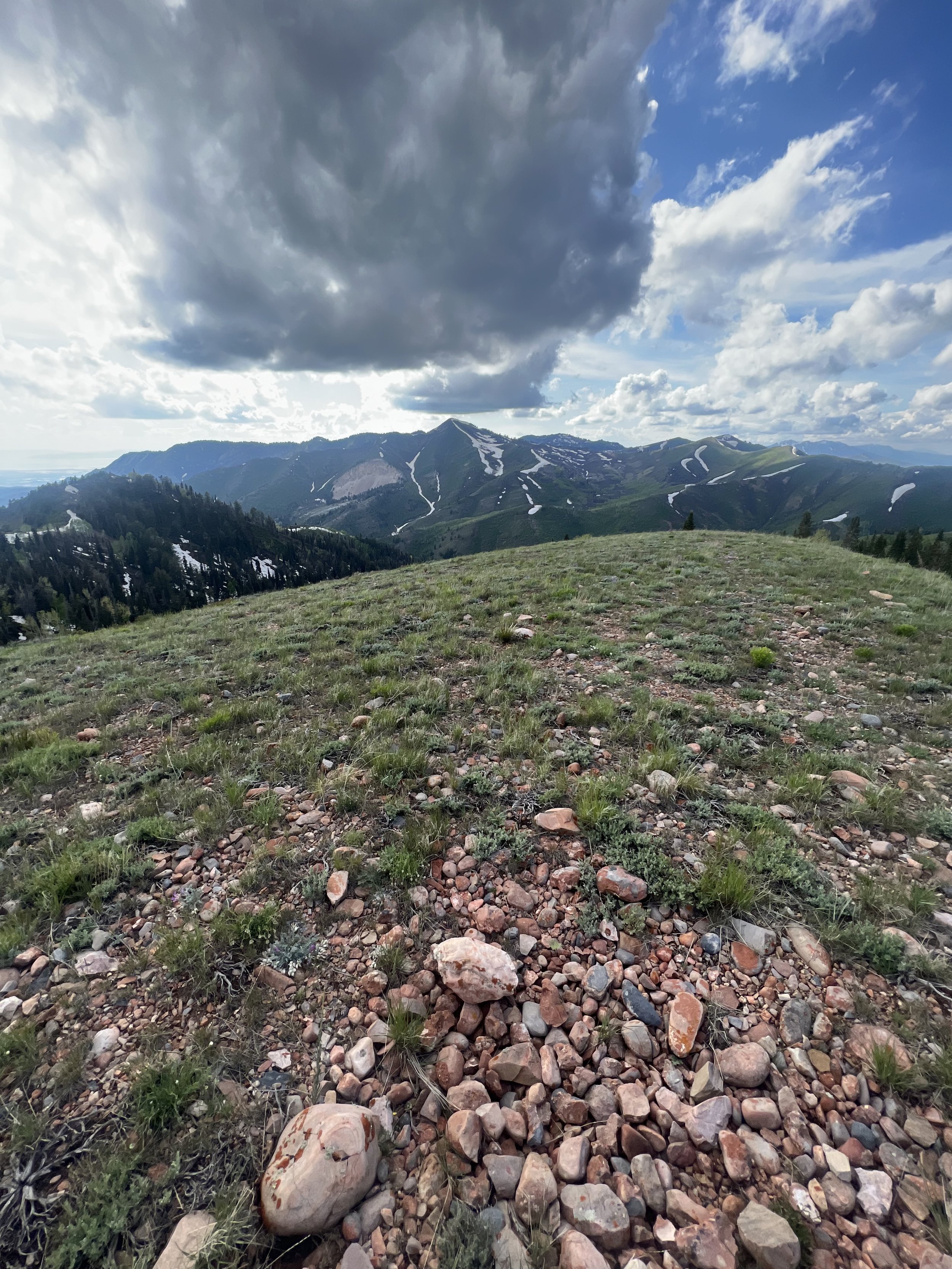
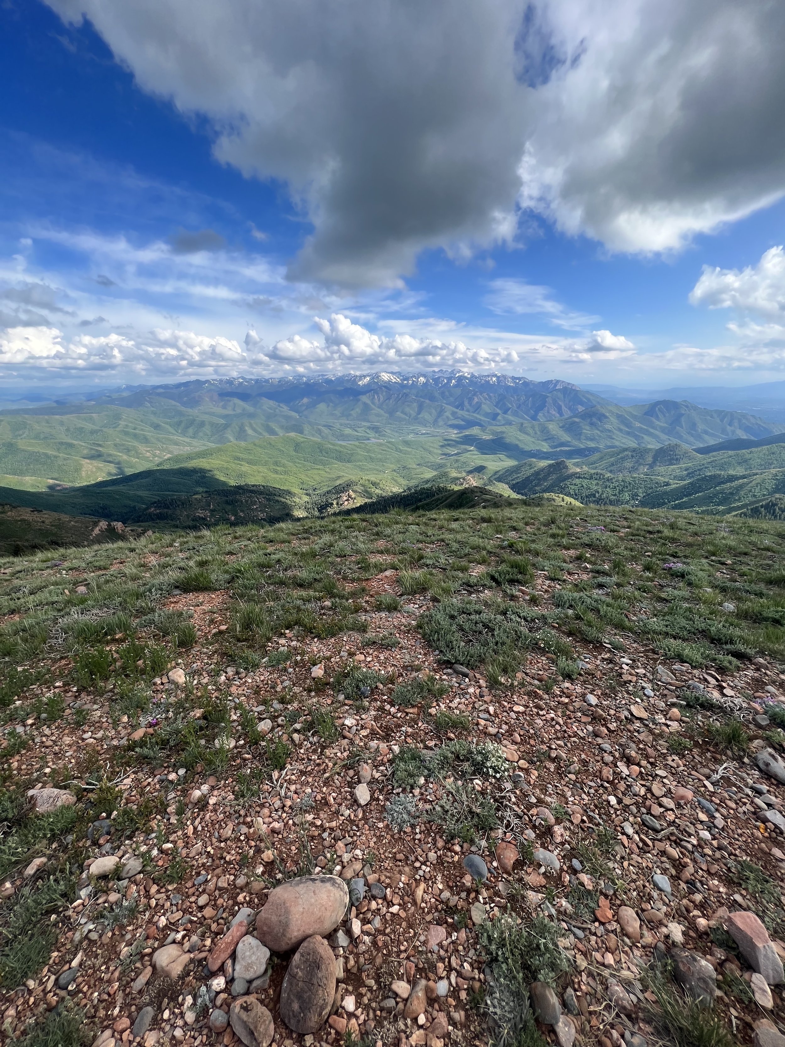
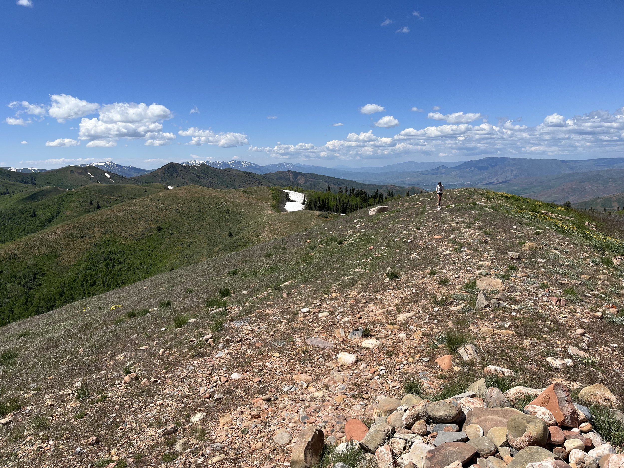
Summit 41 - Summit Park Peak - June 13, 2023
Talk about bang for your buck! This was 2 miles roundtrip of excellent graded fun! The lower trail was soft forest floor, cresting to a lower ridge where the trail becomes intermittent with granite rocks and flowers. The summit itself boasts great views of Millcreek and Big Cottonwood to the southwest, Kimball Junction to the east, and the Great Western Trail to the north. Overall, I highly recommend checking this shorty out. It can likely be turned into a longer effort is you start at another TH and add milage to and from the main summit trail.
Images below: The forested lower section of trail, The summit in view from the first ridge about halfway up, A granite section of trail, From the summit looking east to Kimball Junction, From the summit looking southwest to the backside of the ridge between Millcreek and Big Cottonwood.
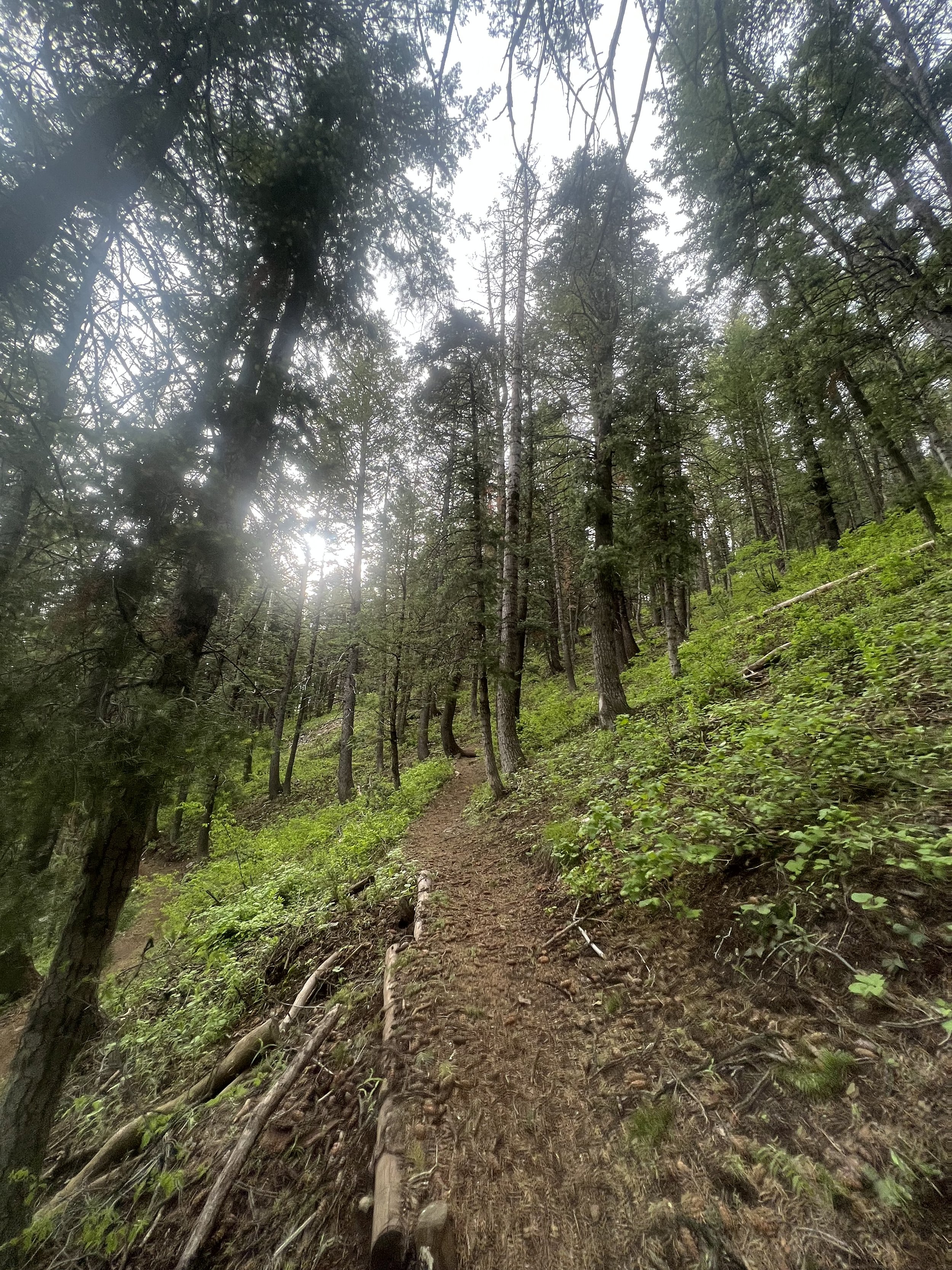
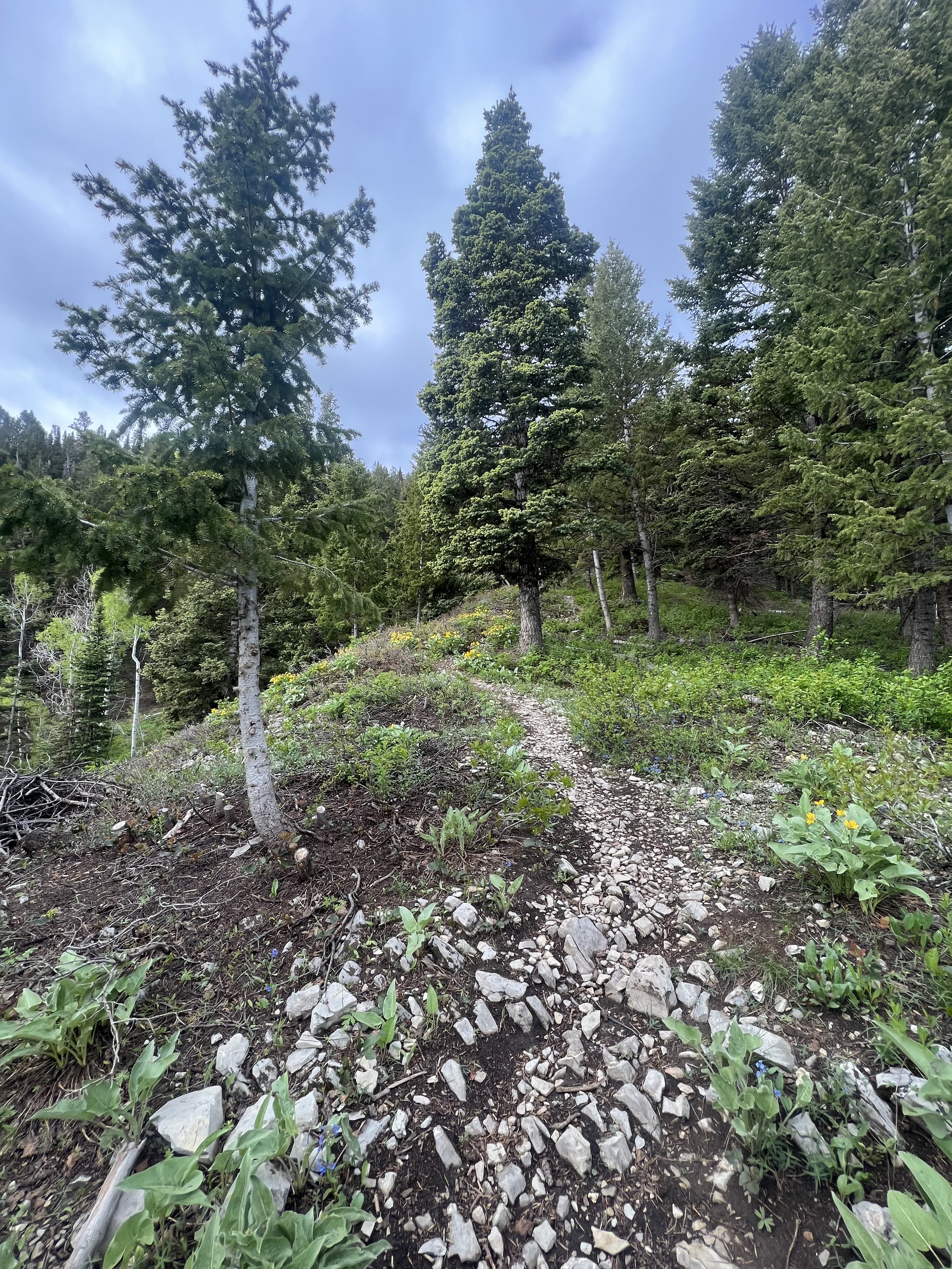
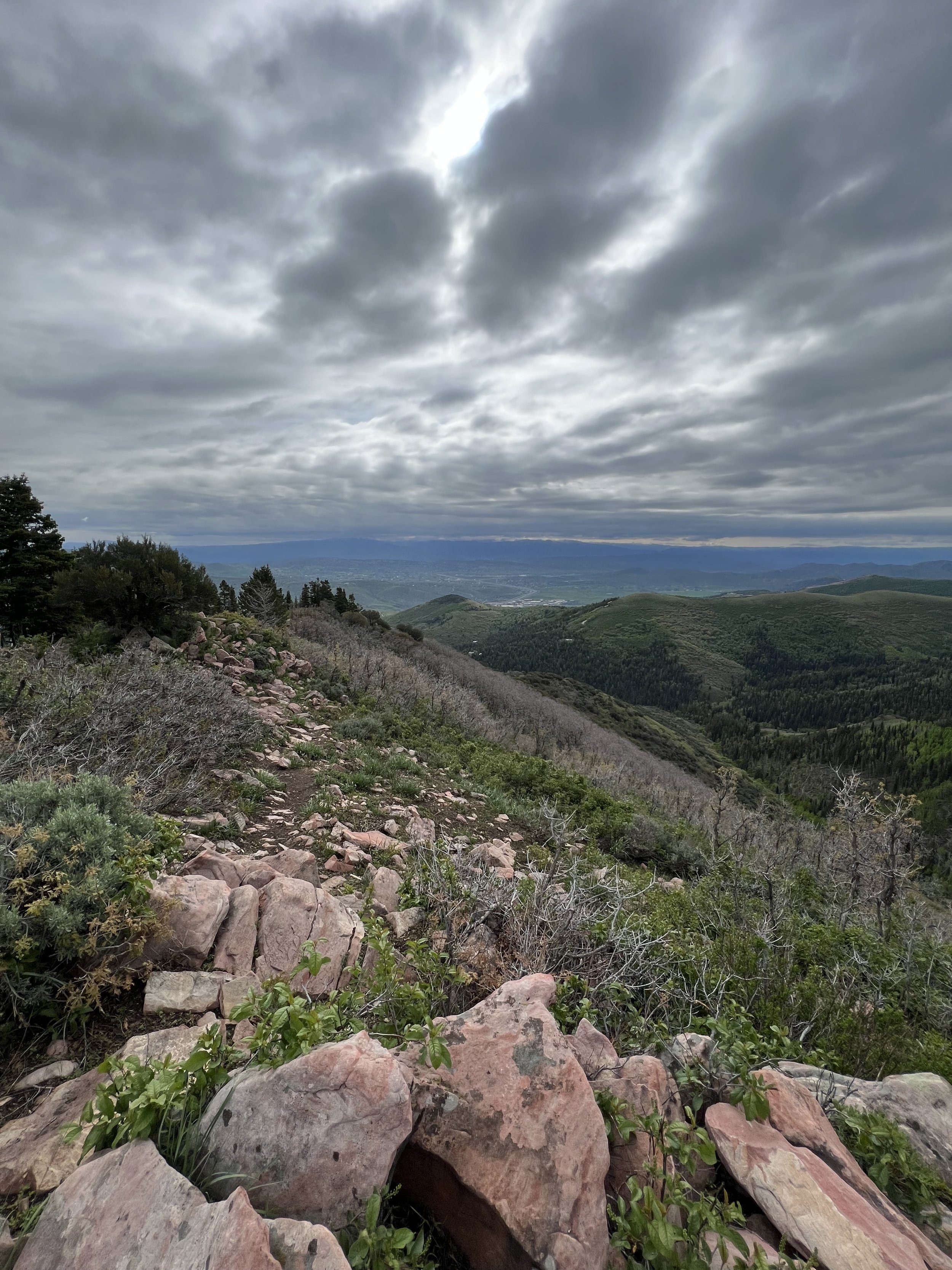
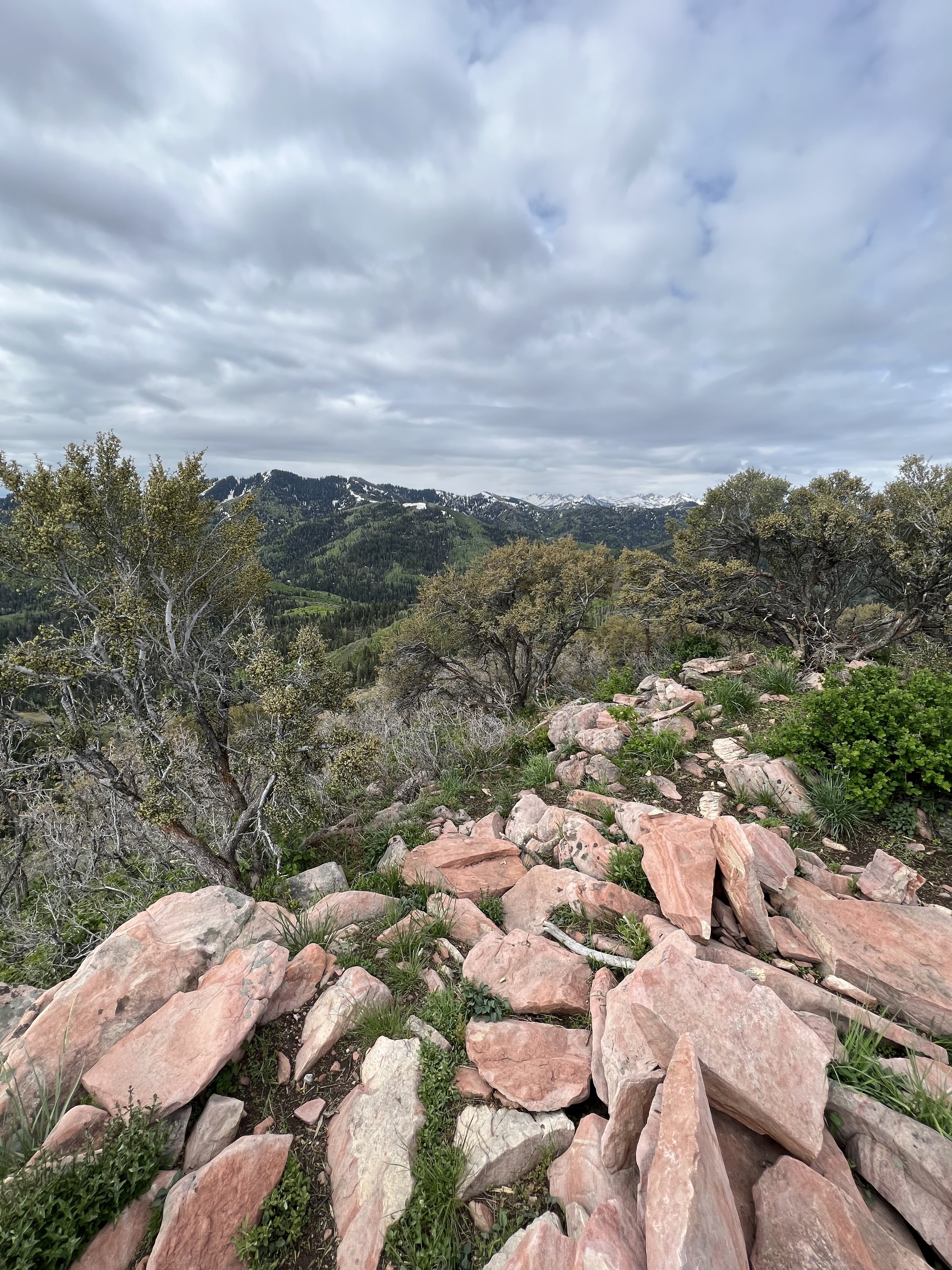
Summit 40 - Breccia Knob - June 12, 2023
A mixed bag of conditions for the trails, but generally a really nice little summit. The lower trail from Rose Canyon was well maintained and gently ascending. At about 2 miles the fork for Breccia Way Trail juts off the the right. While this section is alright, it’s mostly overgrown and a bit hard to navigate in some spots due to the growth. Closer to the ridge, the trail does open up though and the path to Breccia Knob becomes very clear along the ridge. With no real trail to the actual summit, the shrubbery is low and easy to pick your way through to get to the top. I was actually surprised to see a summit cairn. The views were naturally divine with a moody sky, I think the Herriman section may be some of my new favorite trails for views.
Images below: 2 photos of the lower trail which was just beautiful, After cresting the ridge to see Breccia Knob to the southwest (the stone summit), From the summit with the cairn.
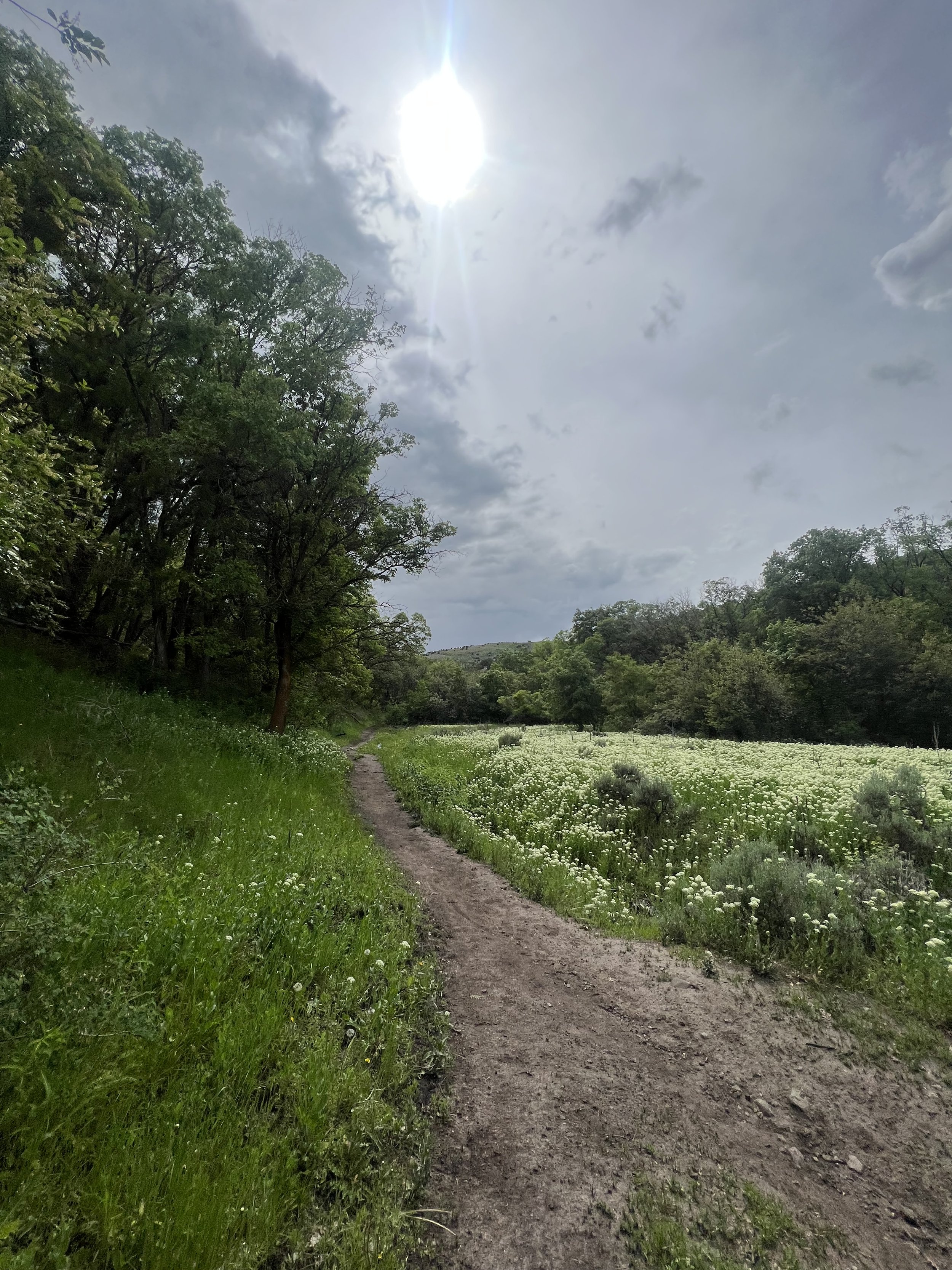
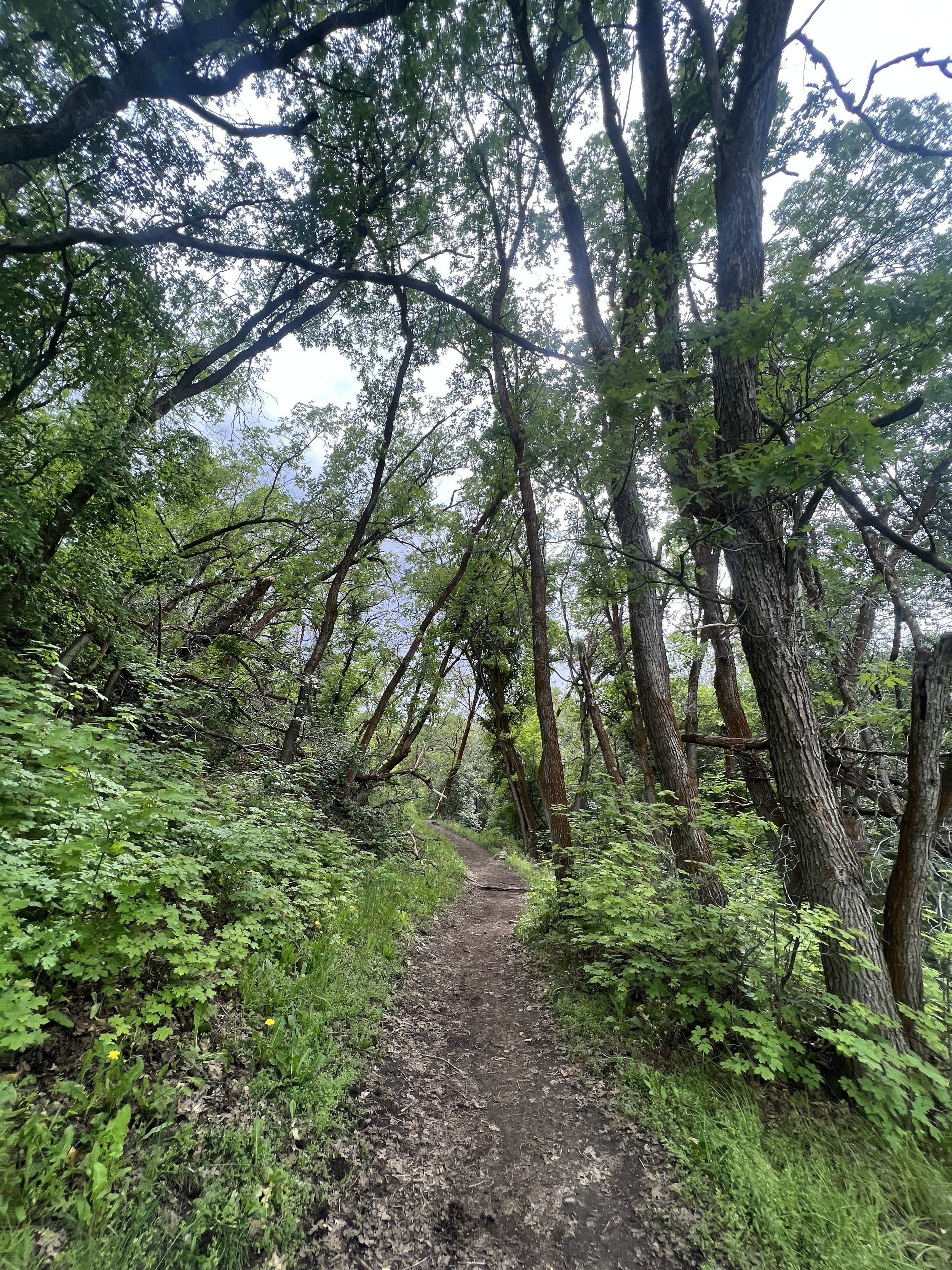
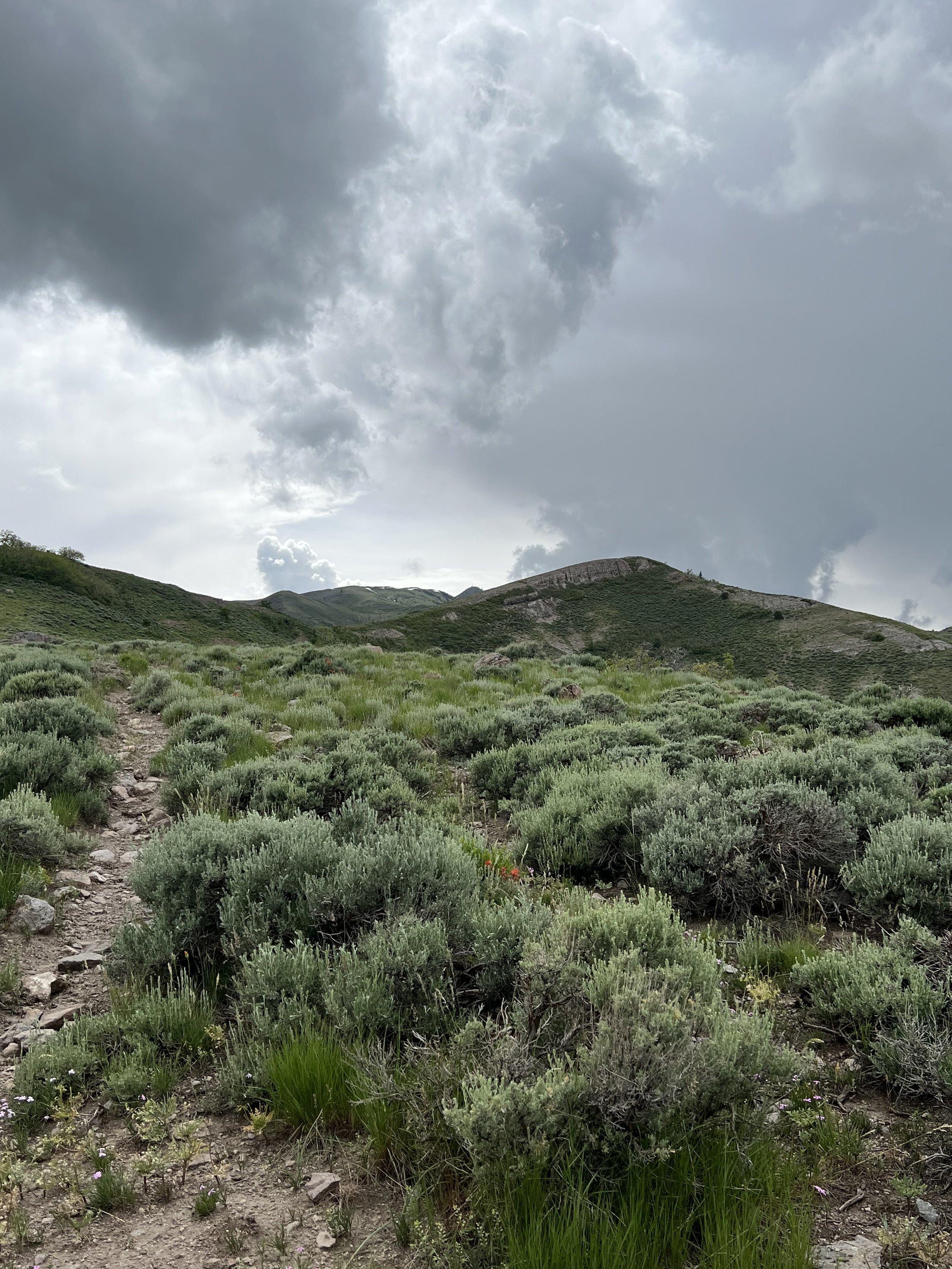
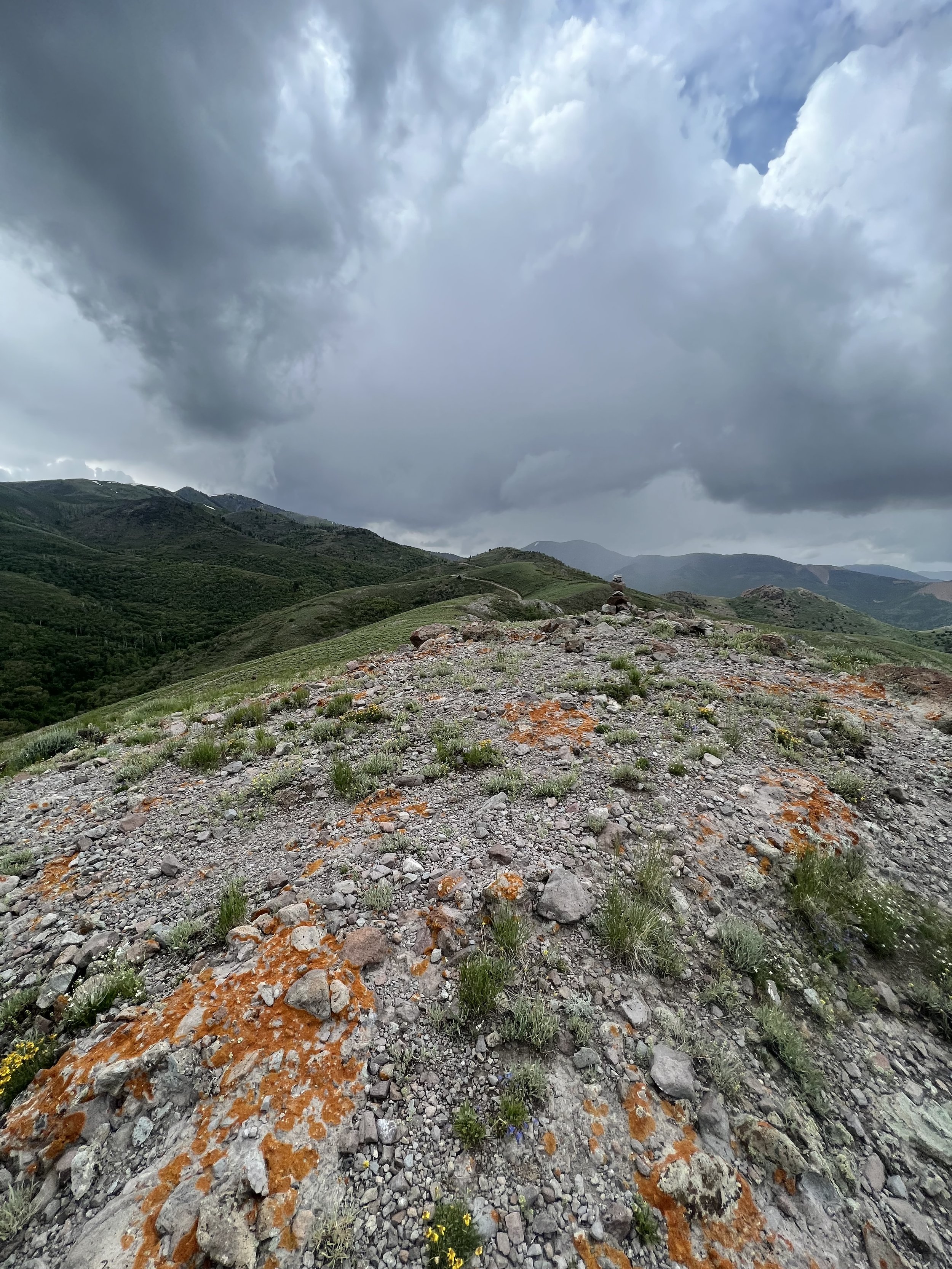
Summit 39 - Houndstooth - June 11, 2023
A short, but steep gain from Ferguson TH area to the base of the rocky feature known as the Houndstooth. You can see this hunk of rock, very fittingly named for its obvious shape, from just about anywhere in Cottonwood Heights. Tanguy joined me for a fun exploration of this one! We expected it to be a little more technical based on descriptions, but were pretty shocked to find that the hardest part was simply loose dirt in a steep grade. Plenty of low branches and rocks to brace on though, and the gully itself leading up to the ridge was shockingly low fifth class. I don’t know how this one got a reputation for being “spicy?” But no matter, we still enjoyed it. The views were primo!
Images below: Looking up to the Houndstooth from a little more than halfway up the trail, Tanguy!, The view looking southwest across the Houndstooth ridge, From the summit of the Houndstooth looking back across the ridge to Tanguy, Me jaunting along the Houndstooth ridge, Me celebrating the summit tag.
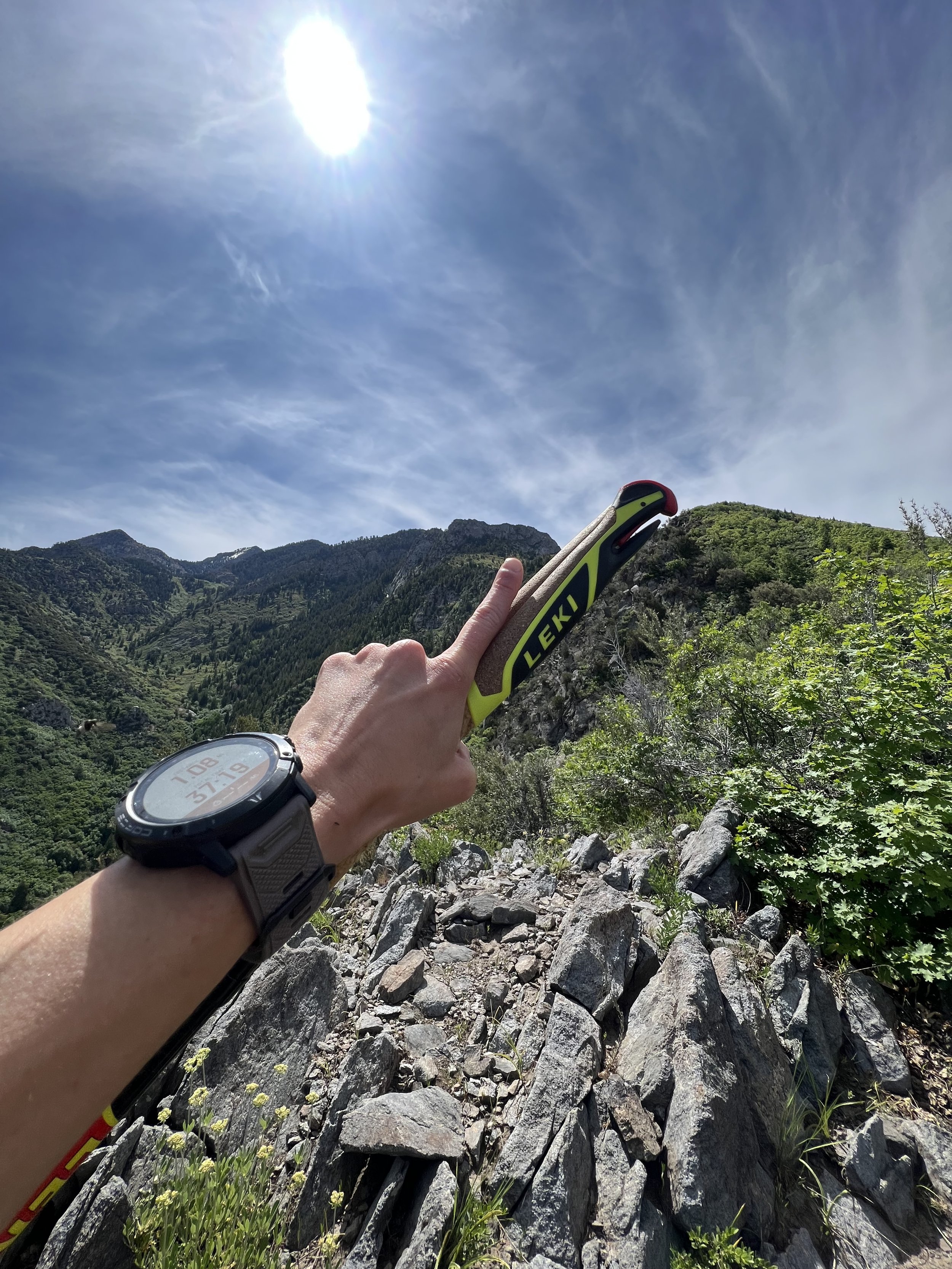
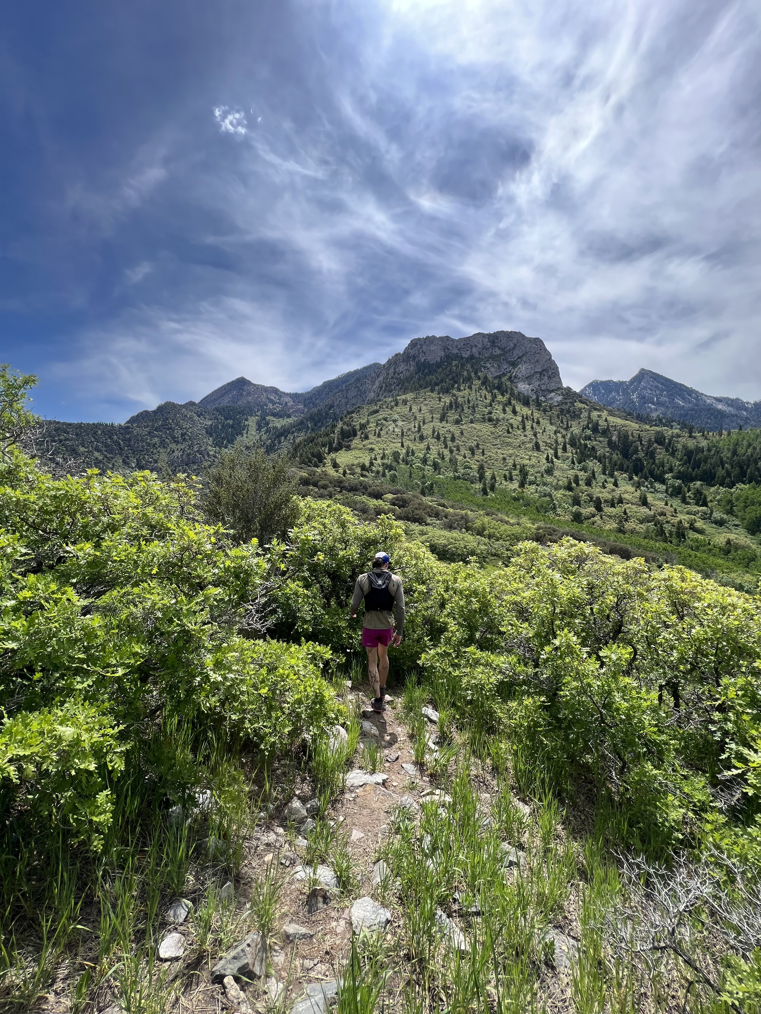
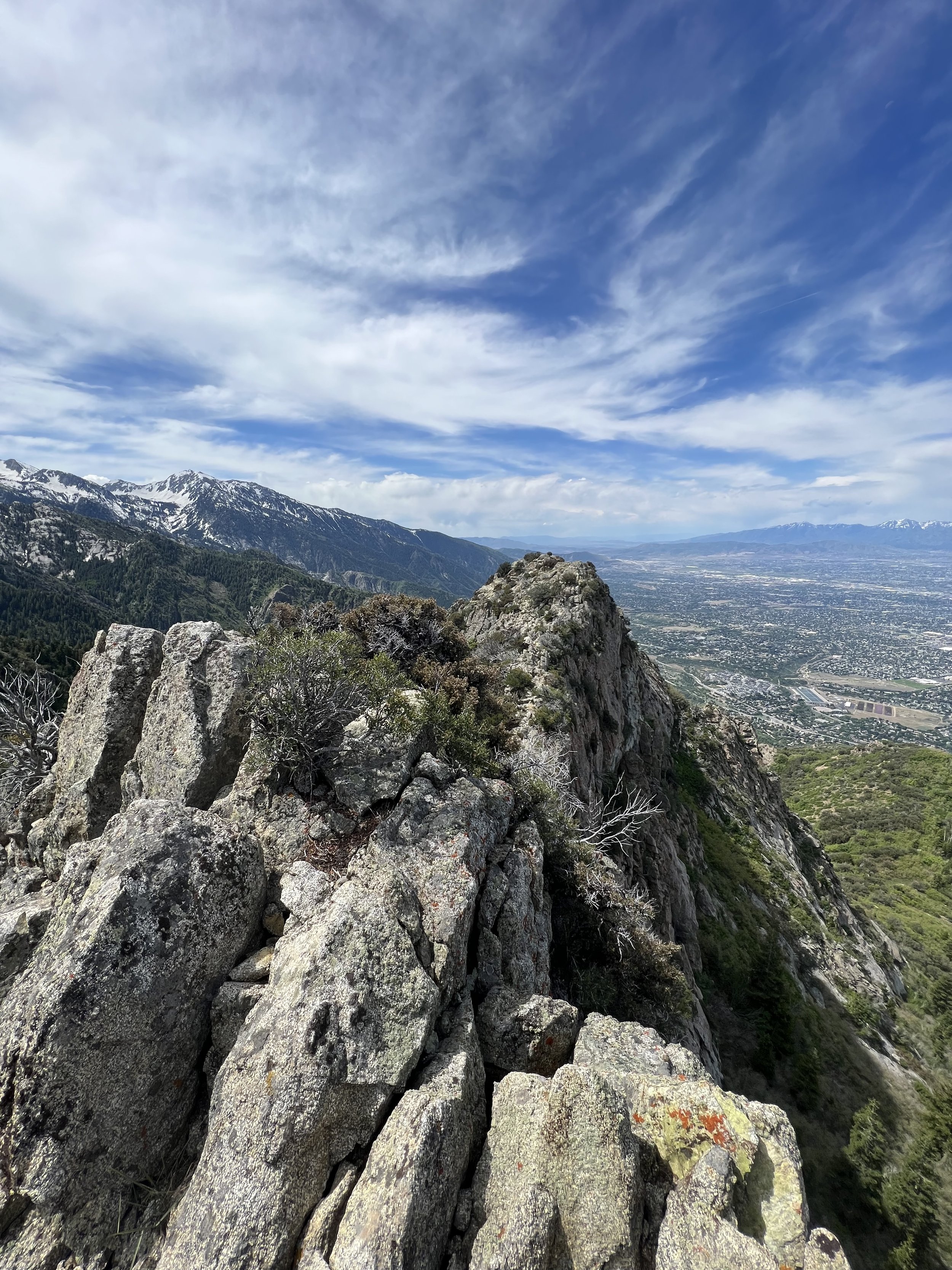
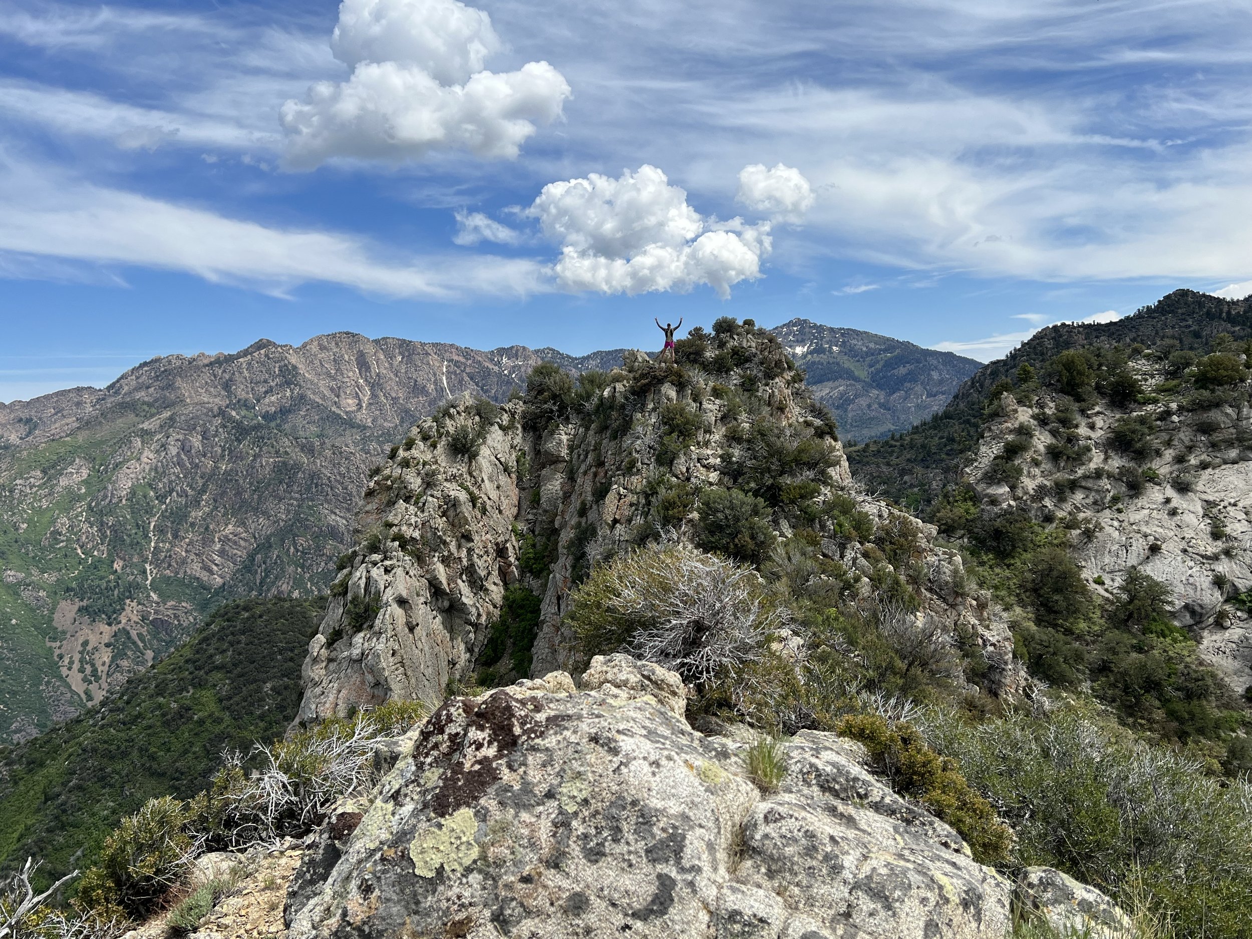
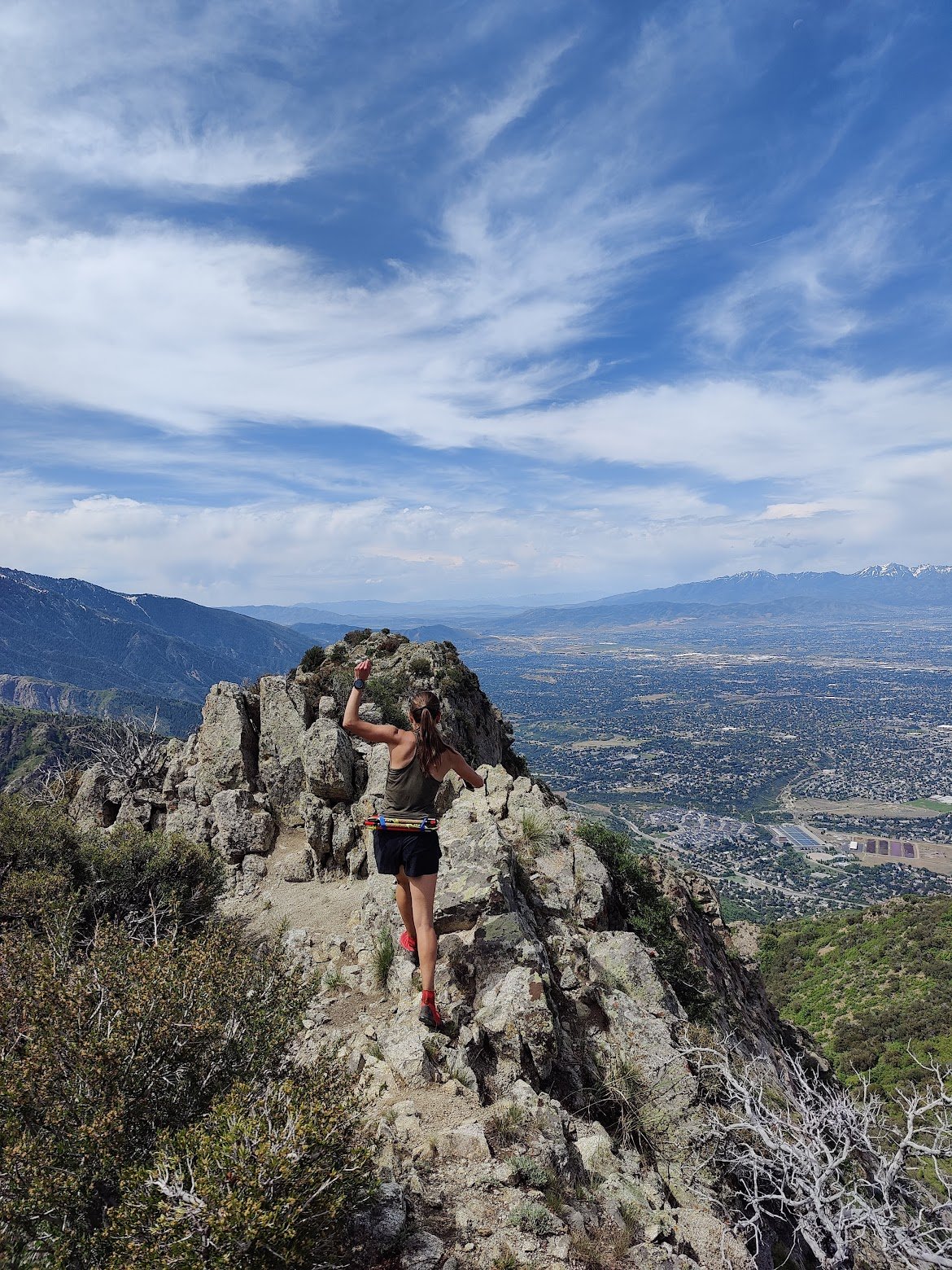
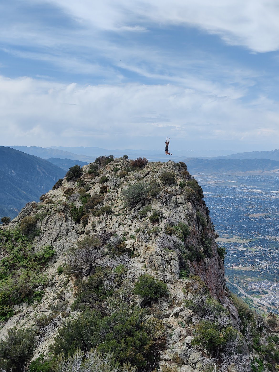
Summit 38 -Little Mountain - June 1, 2023
A simple little jaunt. Starts at the Little Mountain Summit lot and runs north east to the obvious hill overlooking the reservoir. I shimmied up the steep, short trail to the summit ridge and ticked both ends of the ridge (depending on which map you’re looking at, either can be marked as “Little Summit”). The conditions were quaint with blooming flowers everywhere, and a cold spring rain opening up as I descended back to the car.
Images below: The storm brewing overhead as I started this run, The cute singletrack leading up to the fork, The true summit of Little Mountain looking northeast, The false summit of Little Mountain looking south with a cairn for some reason?
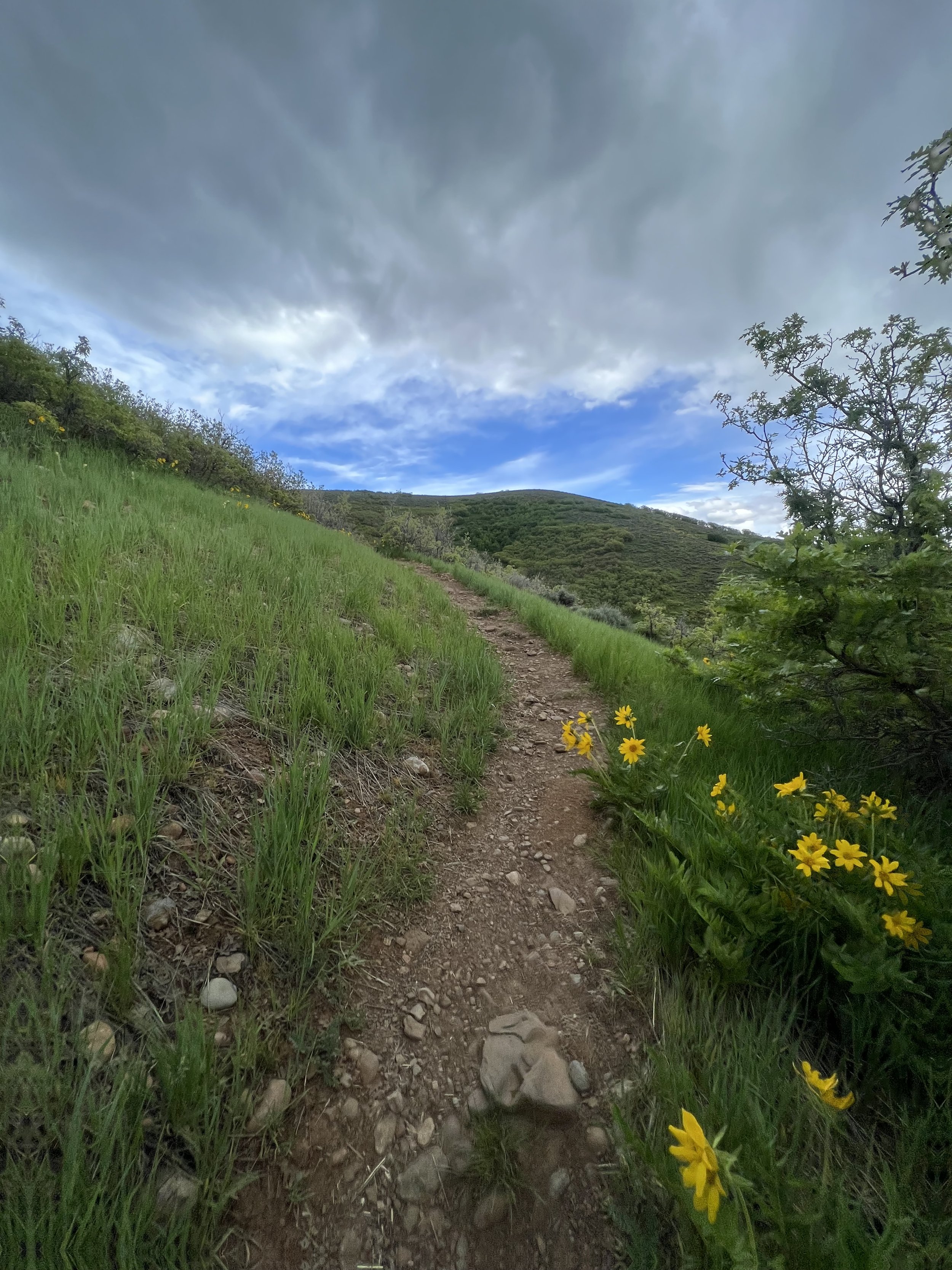
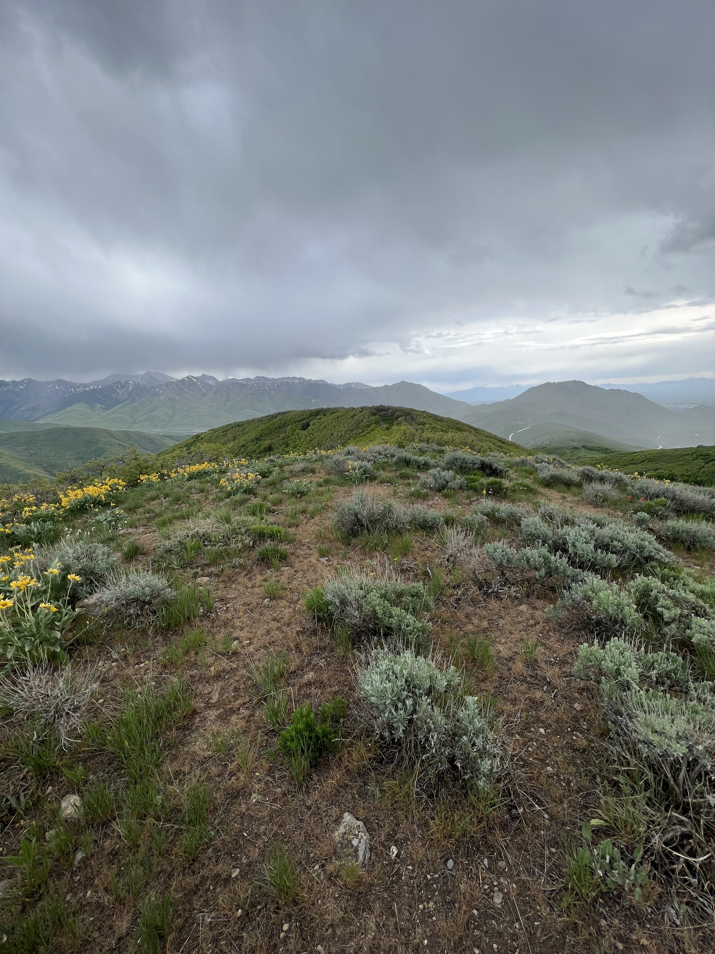
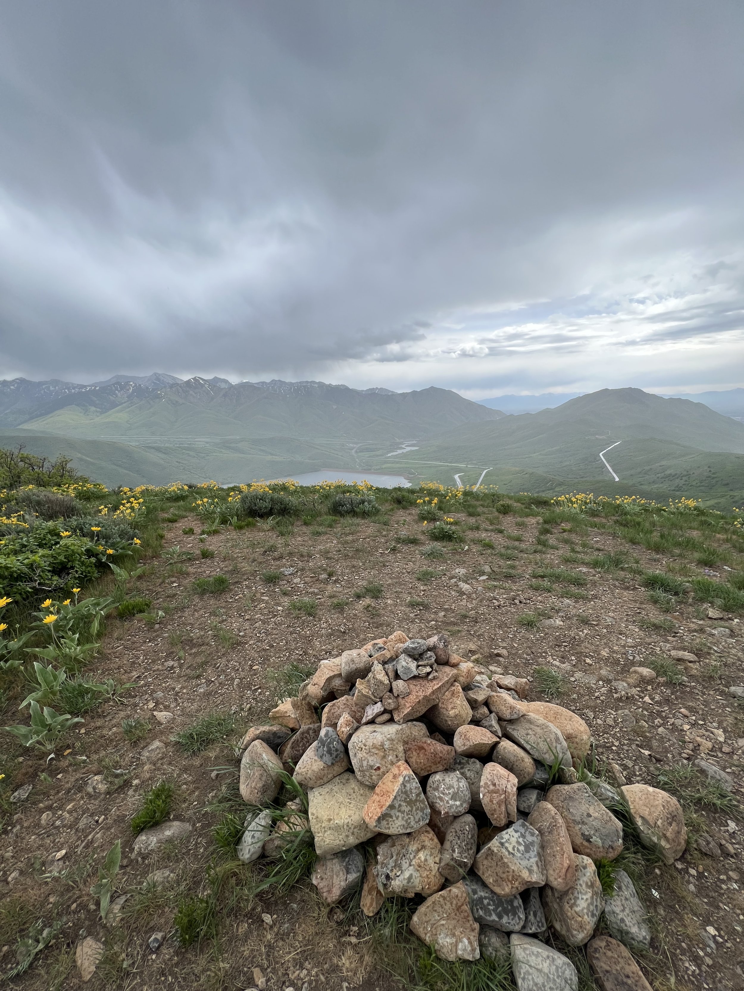
Summit 36&37 -Grandeur Peak and Peak 7868 - May 31, 2023
I started this run on the classic West Grandeur Trail which ascends Grandeur Peak in the most direct way possible. 3,300ft of gain in a mere 2ish miles. It’s steep, and always feels tough no matter how in shape you are. I was able to hit the summit in 55 minutes, then moved along to the Church Fork Trail that descends the mountain on the backside. This is the more common trail for runners and hikers to take. After another mile or so along the upper trail, the trail drops off the lower saddle and into Millcreek Canyon. It is here that I continued straight along the ridge on a faint, somewhat choose-your-own-adventure trail to Peak 7868. There was a little bit of bushwhacking, and some flowers to step over, but overall, nothing too crazy. I hit the summit and surprisingly found a large swarm of ground bees. I stood there for all of 10 seconds before I got stung and decided to just get out of there as quickly as possible. I reversed the trail backward, summiting Grandeur for a second time, then descending the steep west trail back to my car. The effort took about 2 hours and 22 minutes in total.
Images below: Looking up from to Grandeur Peak from somewhere on the west face trail, Summit of Grandeur looking east, Yours truly on the summit, My favorite part of the Church Fork Trail, Peak 7868 in the distance, Bushwhacking after departing the main trail heading across the ridge to Peak 7868, Summit of Peak 7868, On the way back down west Grandeur trail looking north toward Perkins Ridge (did that a few days ago, so cool!).
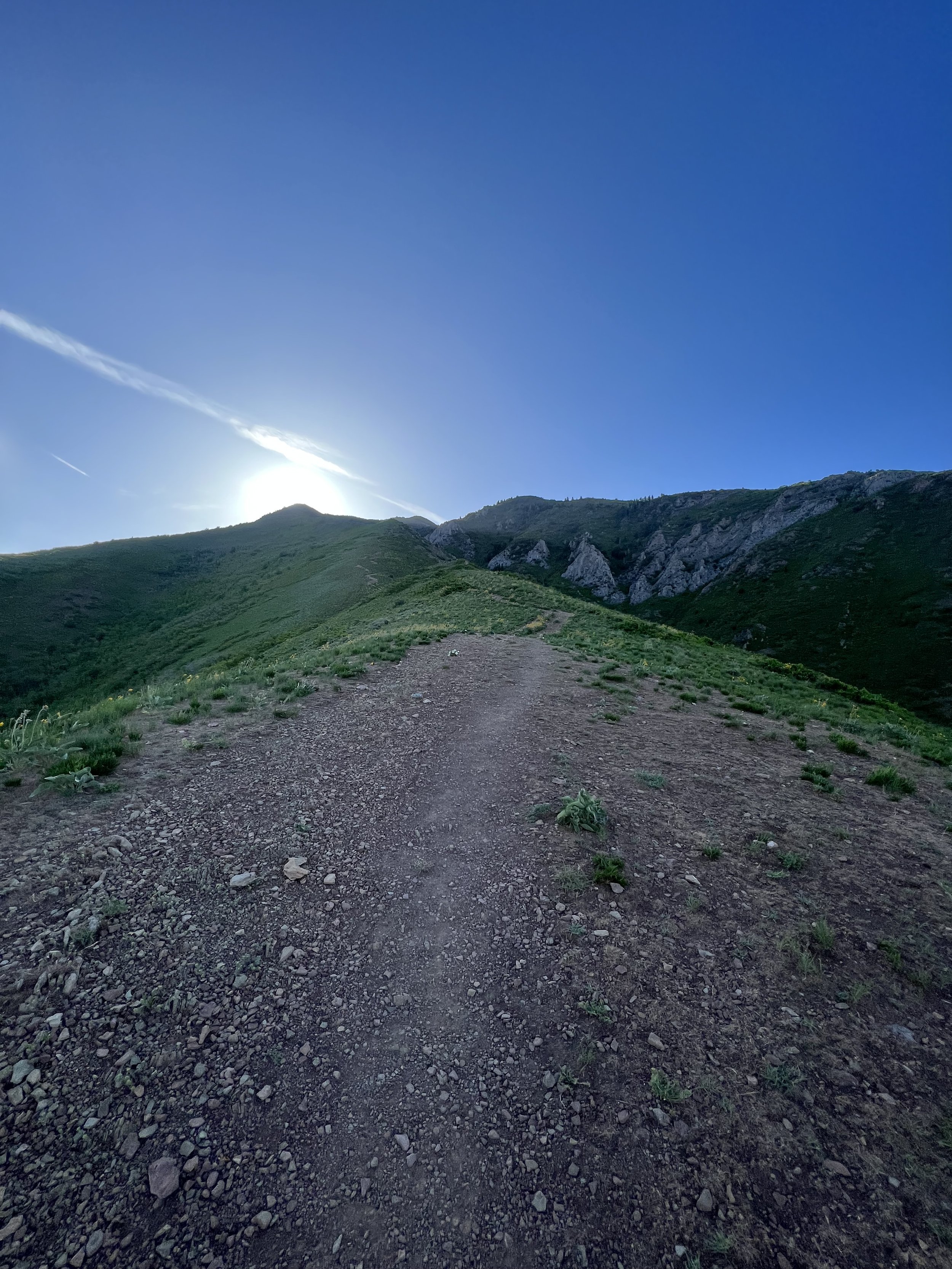
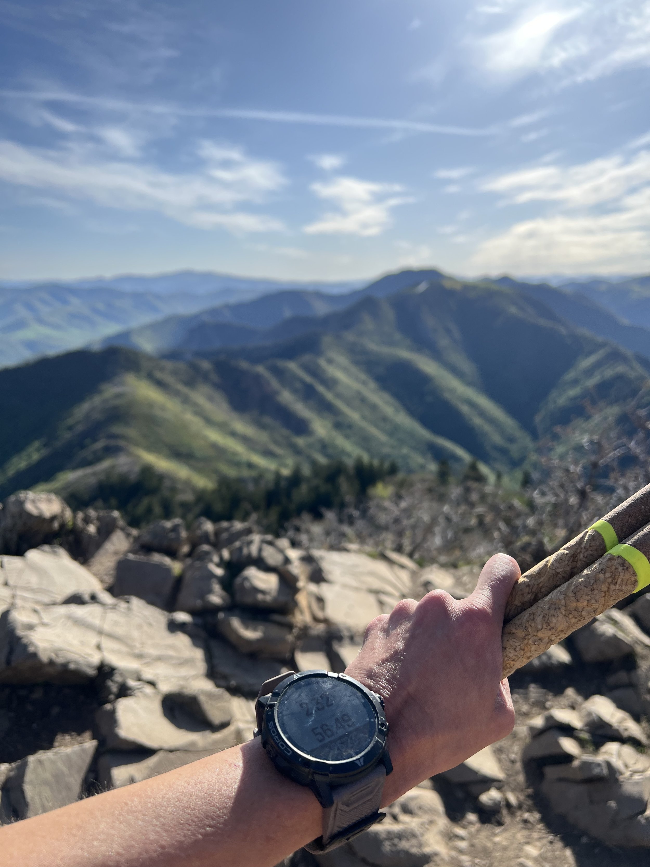
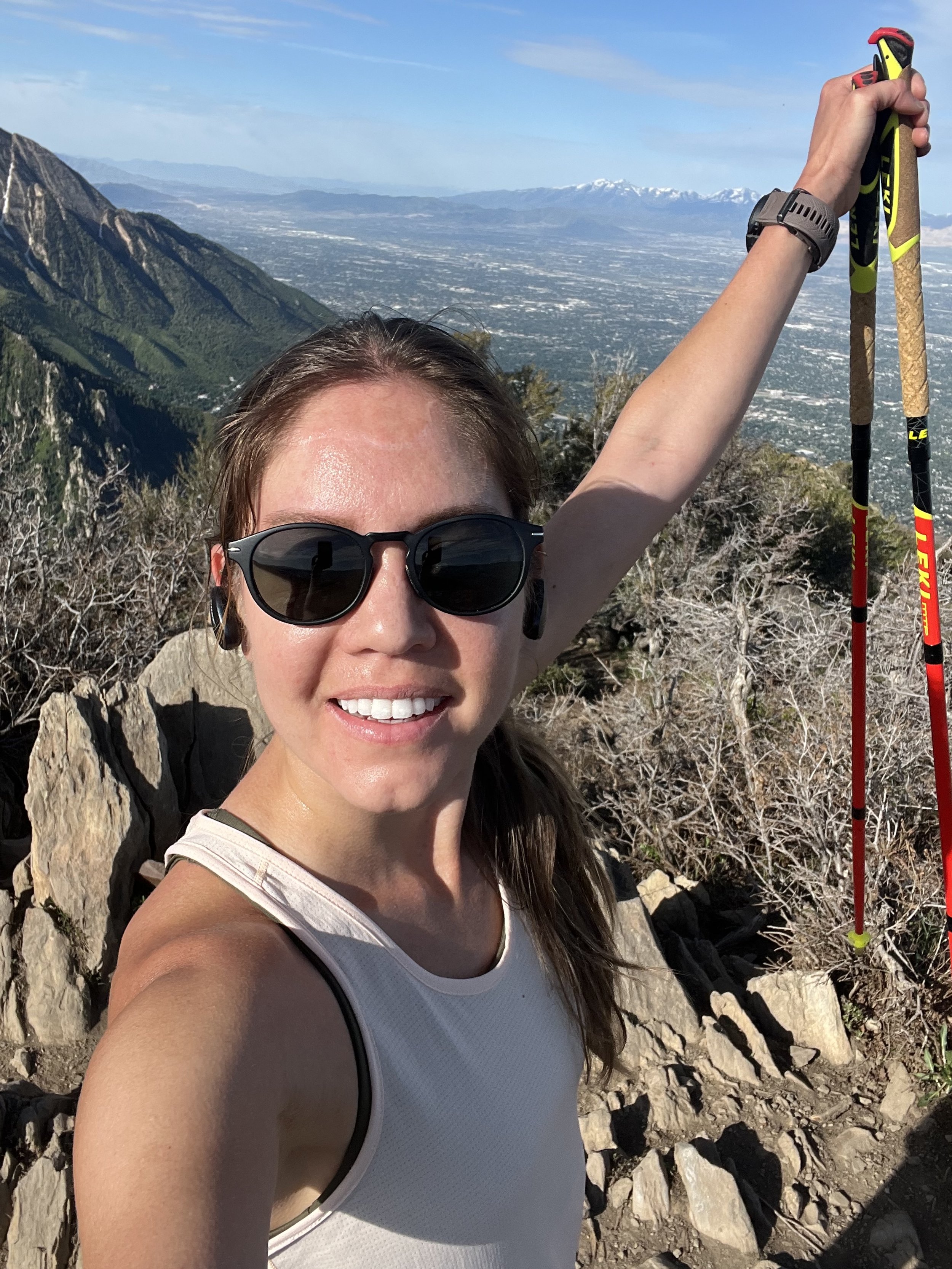
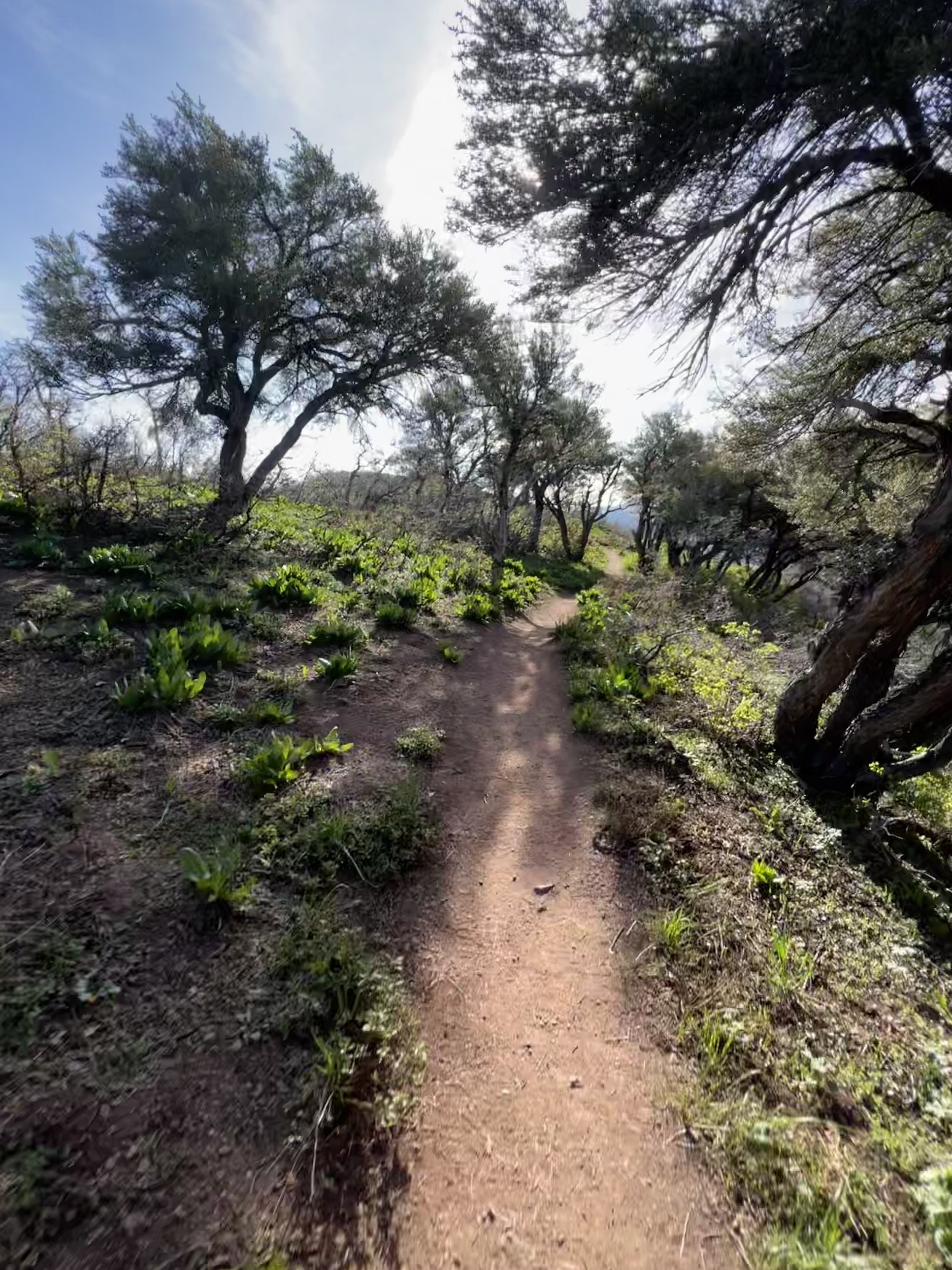
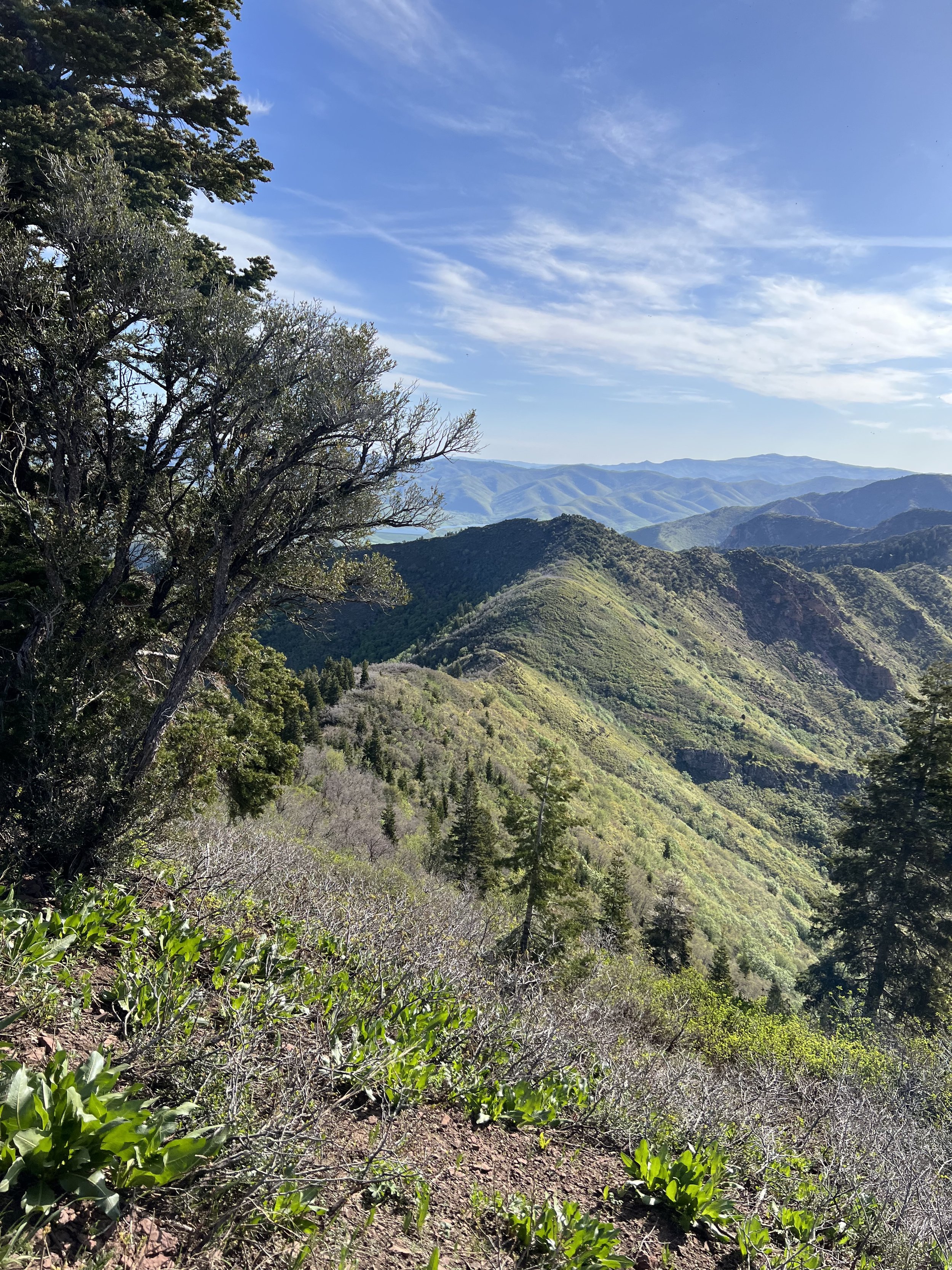
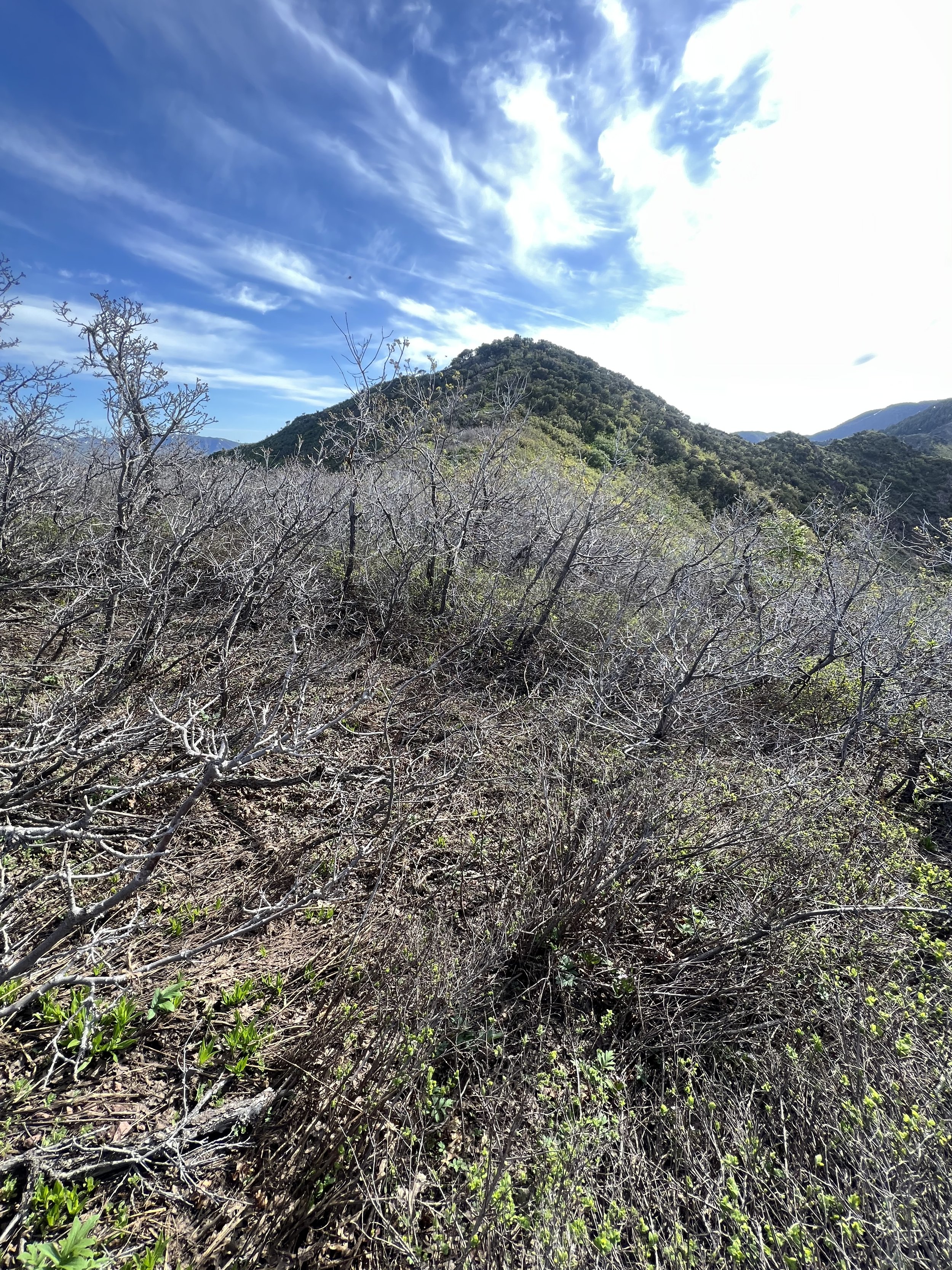
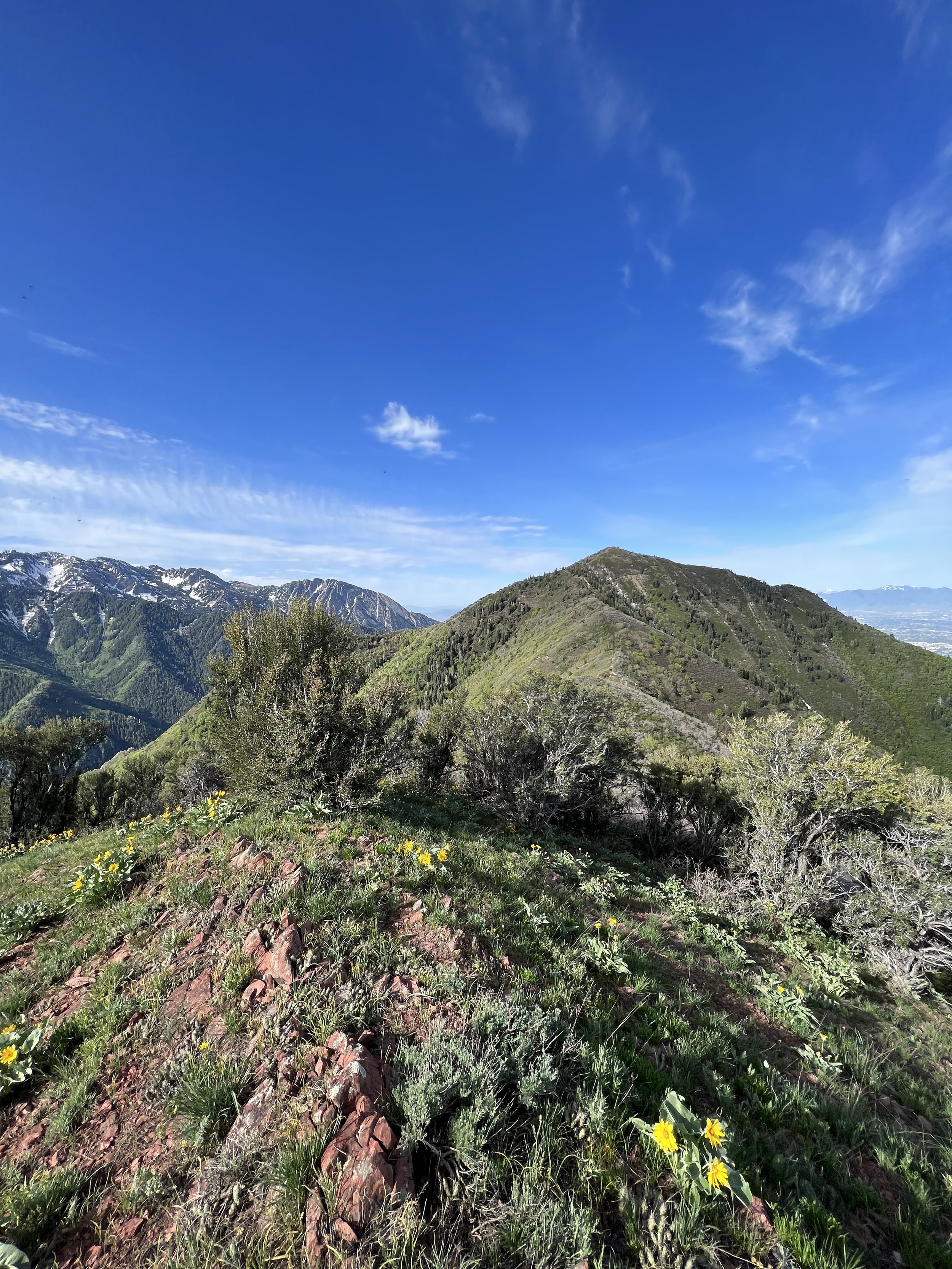
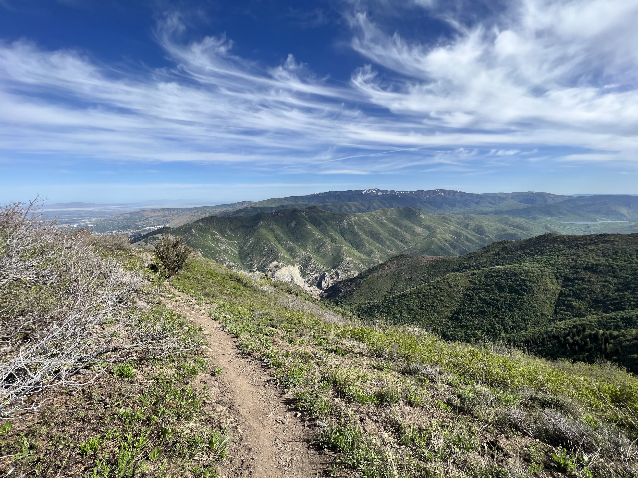
Summit 32-35 - Perkins Hill South, Perkins Hill North, Dale Benchmark, Little Mountain Summit - May 29, 2023
This was both wonderful, and dreadful. In all the years I’ve lived here, I’ve stared up that the northern ridge while driving through Parley’s Canyon to and from Park City and wondered what was up there. Now I know. It’s some okay trails on either end, with a good amount of scrub oak hell in between. But the views were divine!
We started the morning by running a car shuttle to the summit pass of Emigration Canyon, then drove back around to the start of the Perkins Hill ridge area. We slowly moseyed up the ridge with no real effort, passing a few other hikers who were coming from and going to the false summit, also where we would depart from the main trail. (The main trail hooks northwest and descends to the Jacks Mountain ridge)
A lot of bushwacking and 1 huge dead bull elk later, we eventually hit the true summit of Perkins Hill South. To our surprise, there were 2 other people—1 fella with his dog who hiked from the SLC valley, and another fella (runner!) who was coming from the Emigration side and doing almost the same traverse but in reverse! (he didn’t do the O&B to Perkins Hill North). We exchanged some hellos and then continued through the rest of the bushwacking to the fork for Perkins Hill North. From there, we ascended the ridge to the north and picked our way across the rocky ridge to the summit. A short stop to eat a snack, and then we were on our way back.
The trail picks up around the fork but it’s rugged at best. We moved east along the ridge, undulating across the narrow, rocky ridge toward Dale Benchmark. The summit for Dale Benchmark was pretty neat, boasting great views of the backside of the Perkins Hill summits. The descent from this summit, however, was steeper than we thought. I lost my footing once, and looked ahead in amazement at how long there was still left to go.
Eventually we made it to the Little Mountain Summit/Parking Lot in a very thirsty state.
The end.
Images below: Flowers in bloom along the ridge ascent, Keen atop the false summit that is commonly confused with Perkins Hill Summit (the trail disappears here), Below the ridge in the scrub oak forest (RIP legs - also, real Perkins Hill South is the pointy bump on the right), The real summit of Perkins Hill South looking west to Salt Lake, The ridge to Perkins Hill North just after the last bit of scrub oak hell, Yours truly atop the summit of Perkins Hill North, Back on the main ridge looking east toward Dale Benchmark, Farther down the ridge looking back West to the backside of Perkins Hill North, Looking toward the final destination after I drank the rest of my water, Me atop Dale Benchmark with the Perkins Hill Summits just above my head, Farther down the ridge looking back west toward Dale Benchmark (surprisingly a steeper descent than we expected), The Little Mountain Summit marker in the finishing parking lot/saddle.
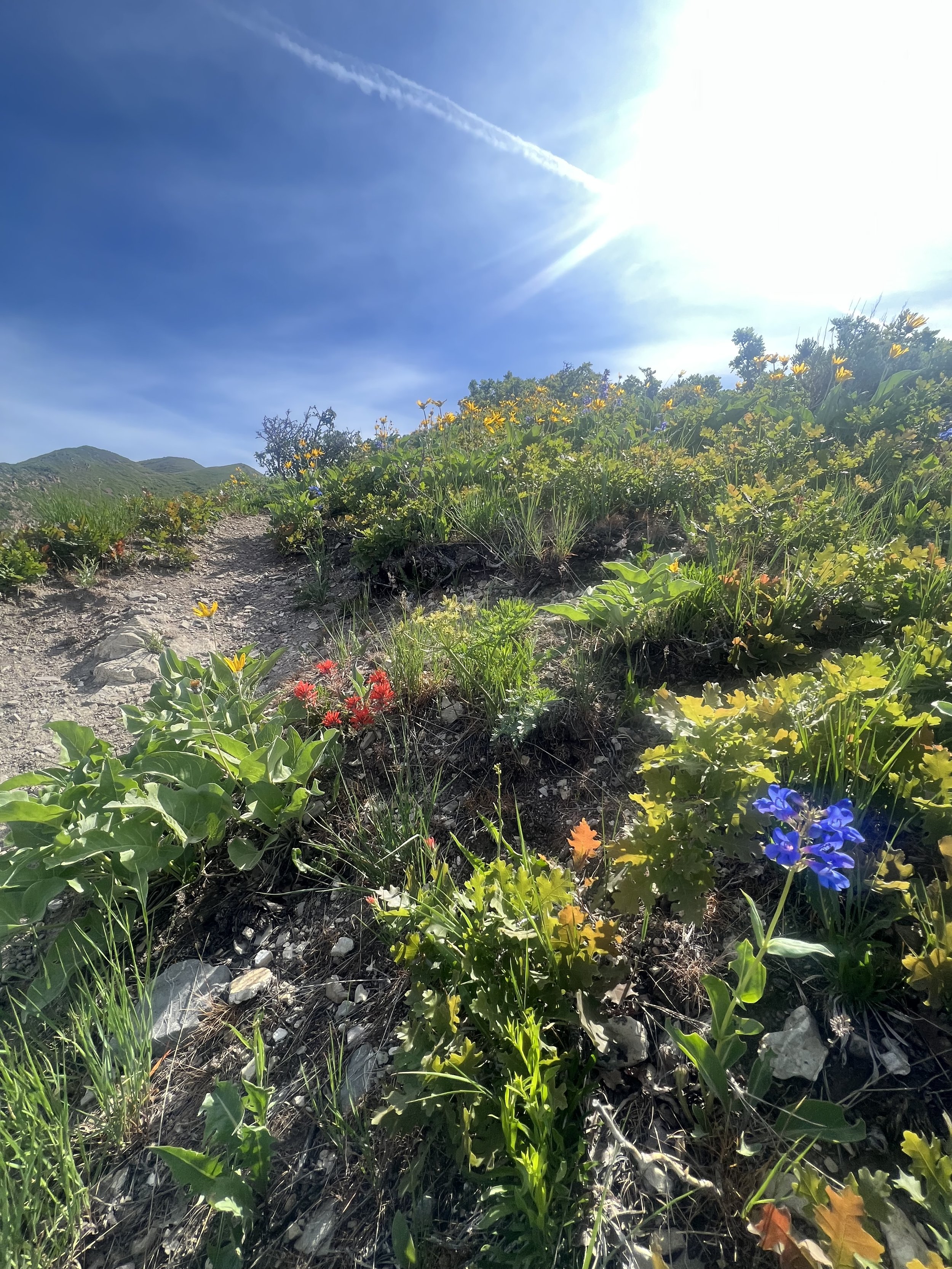
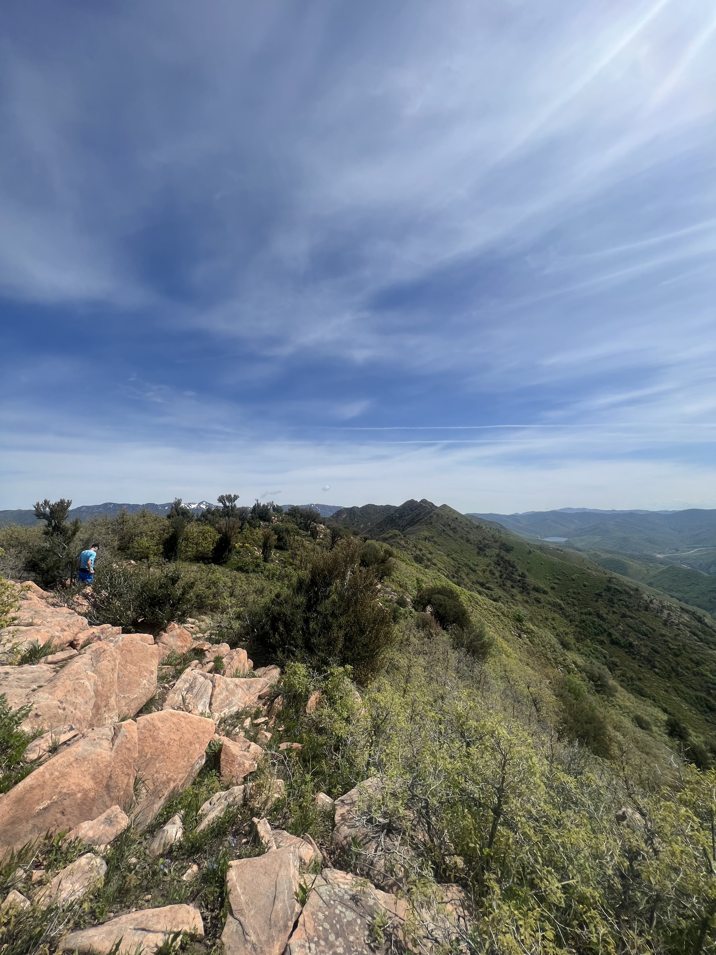
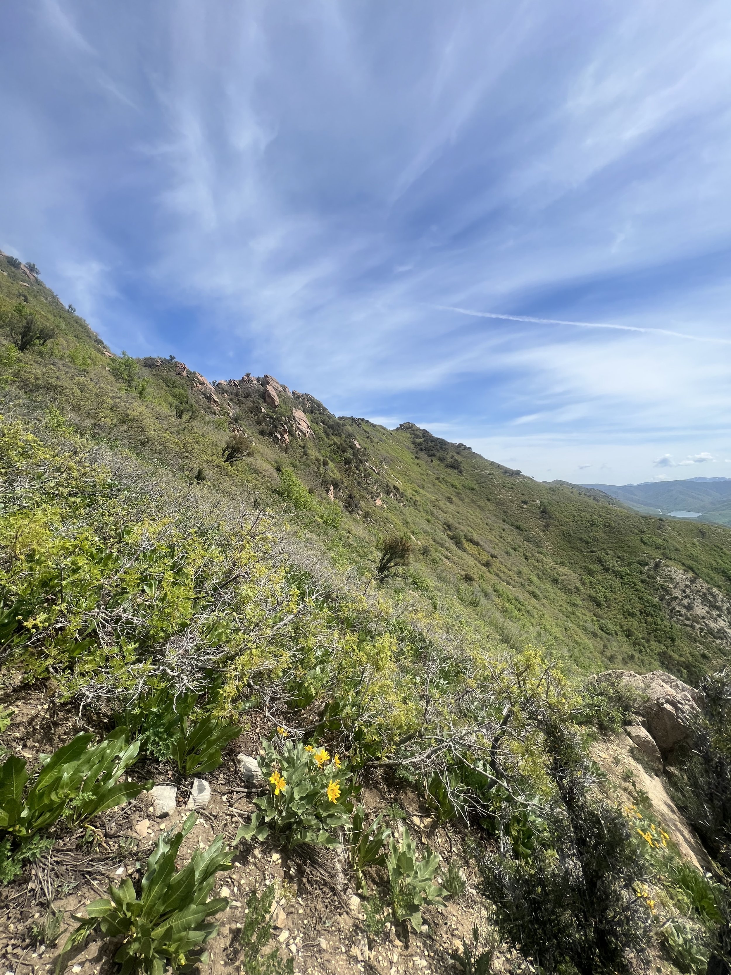
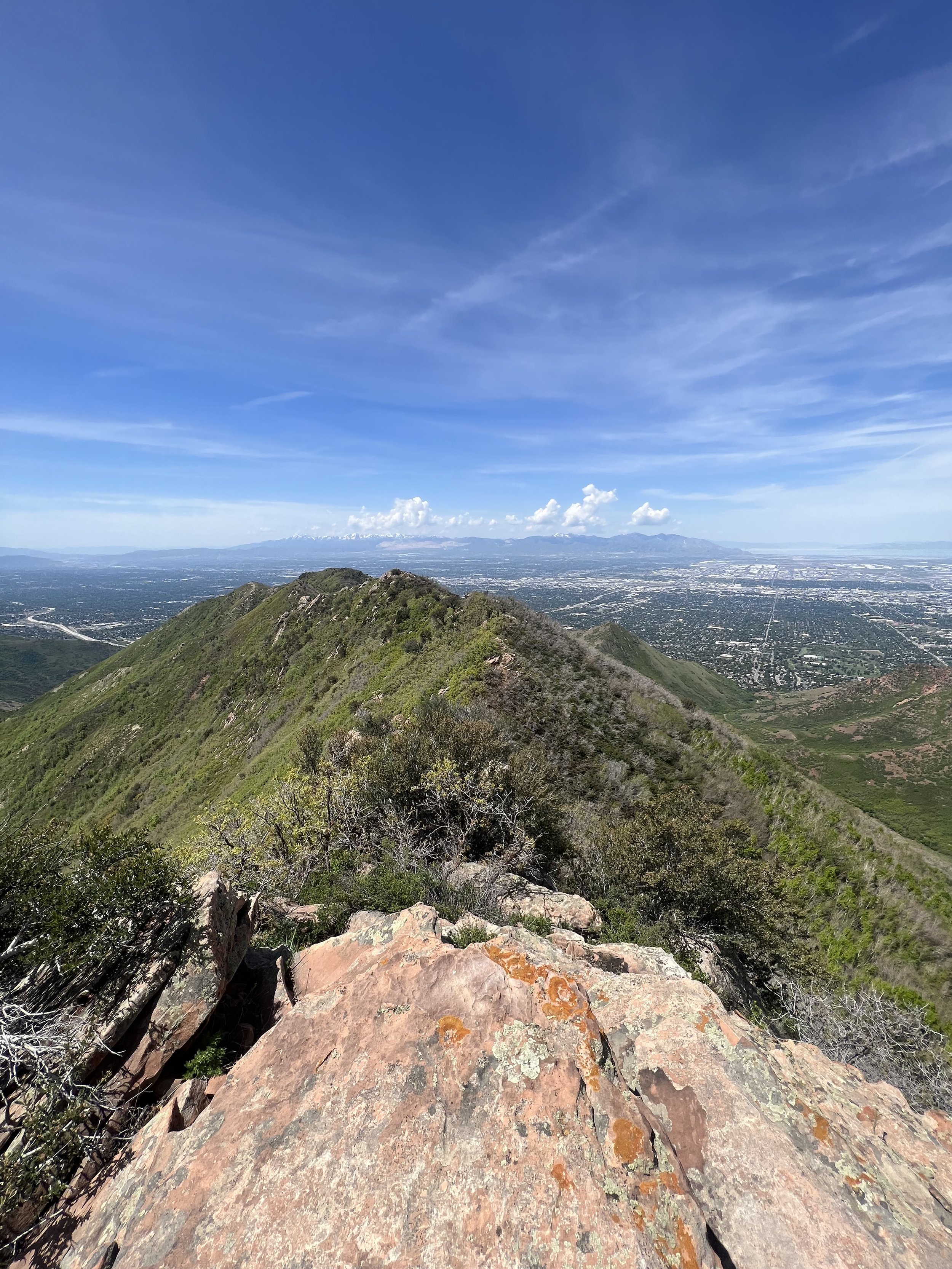
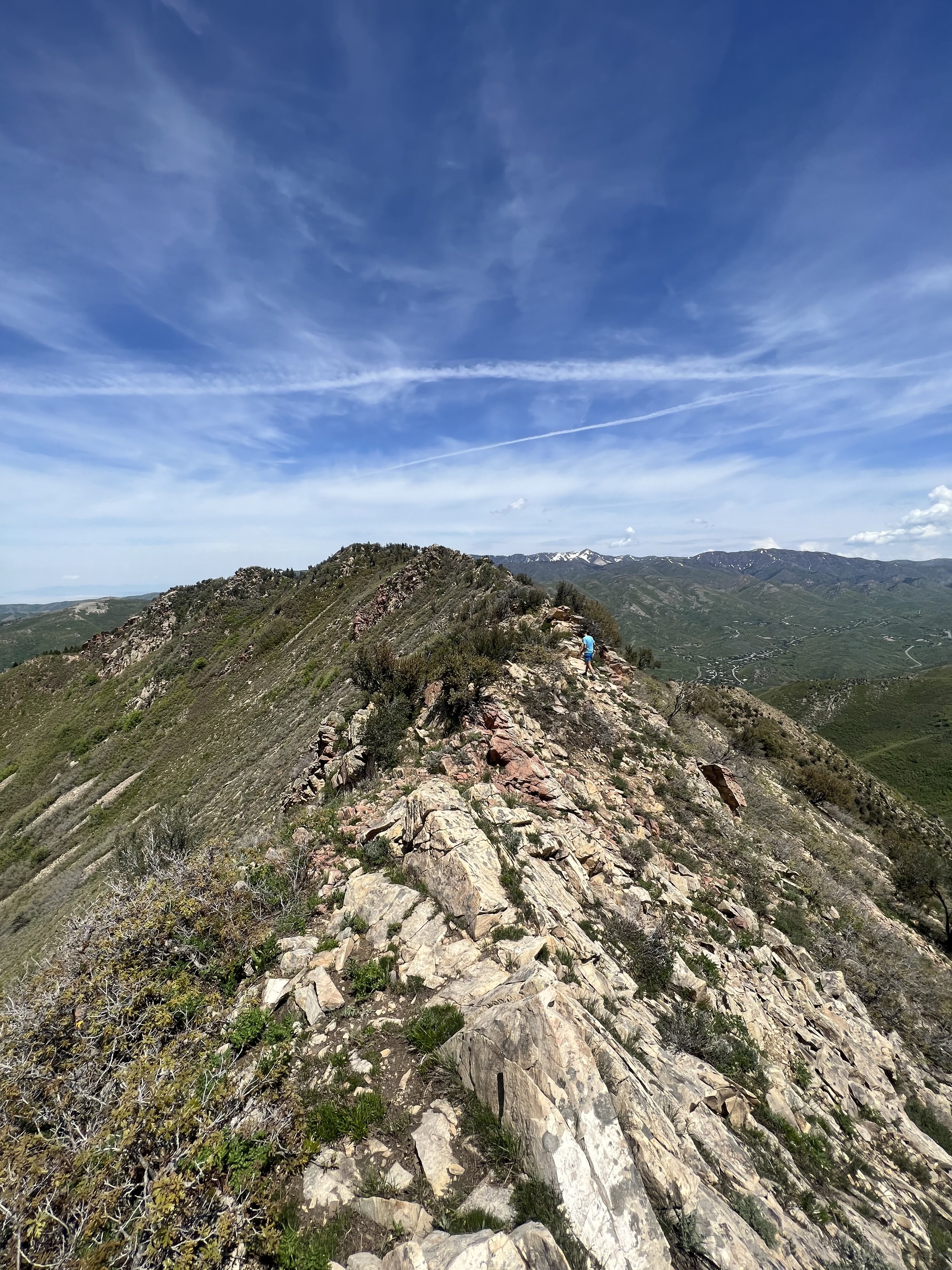
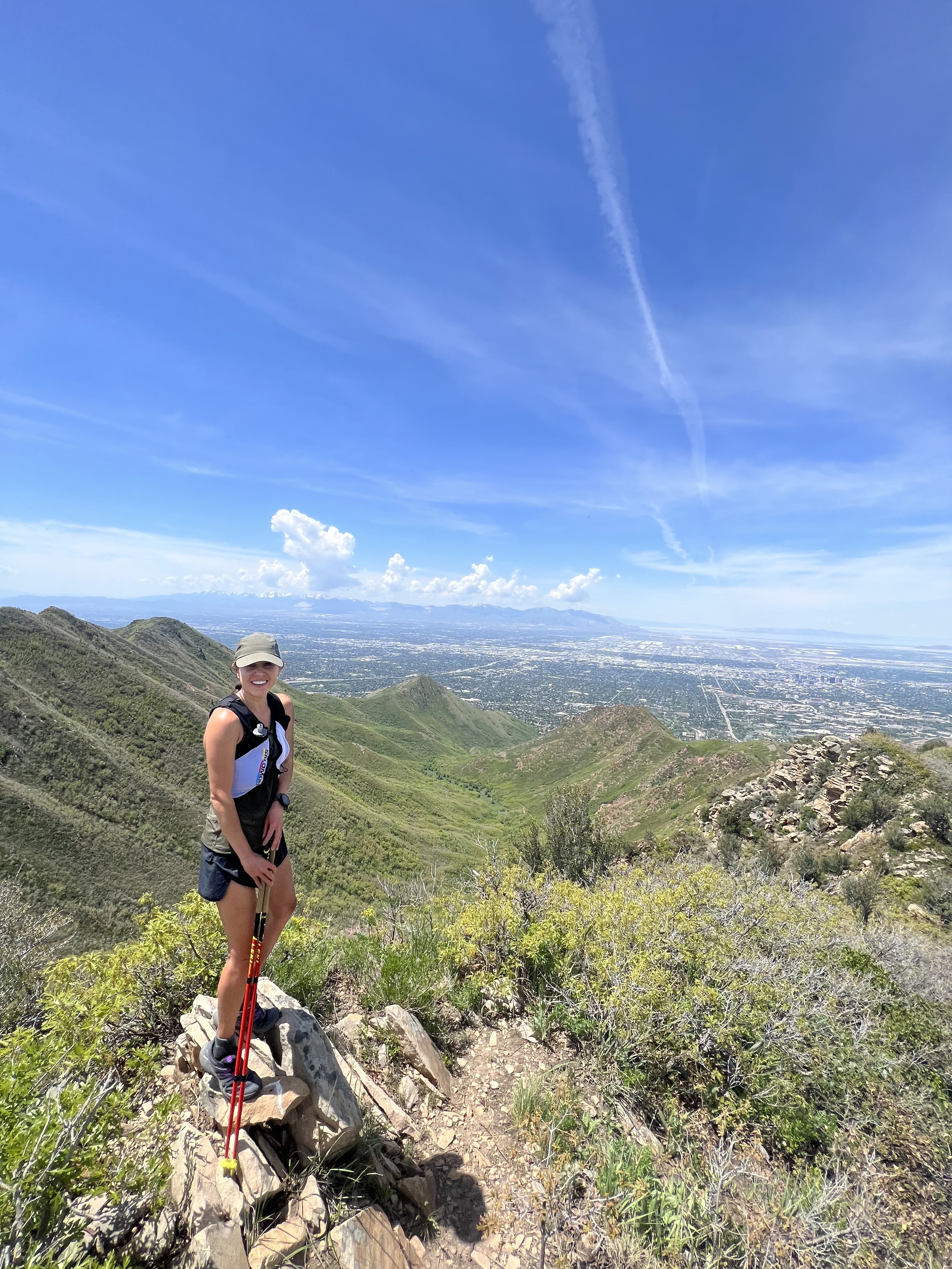
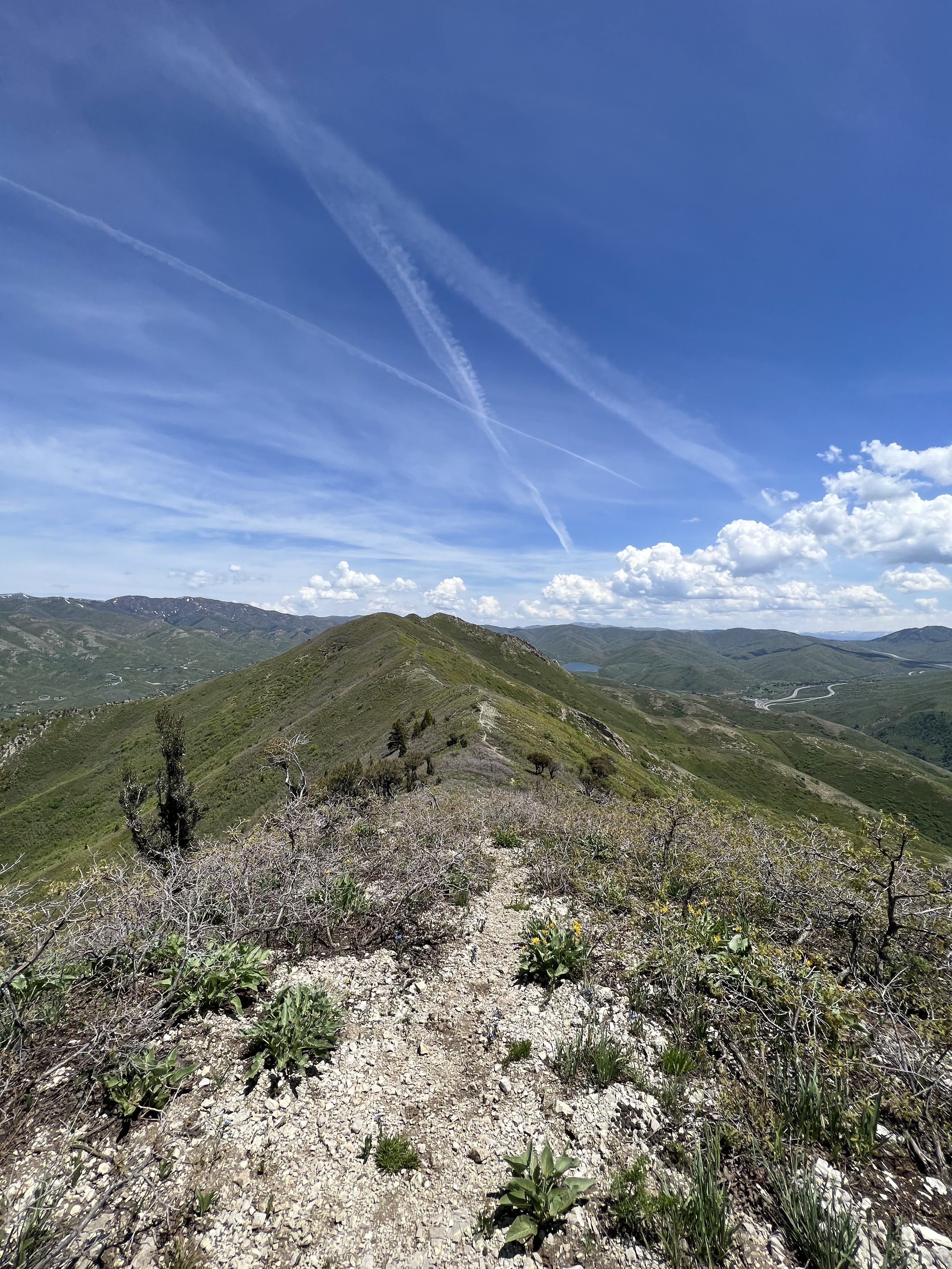
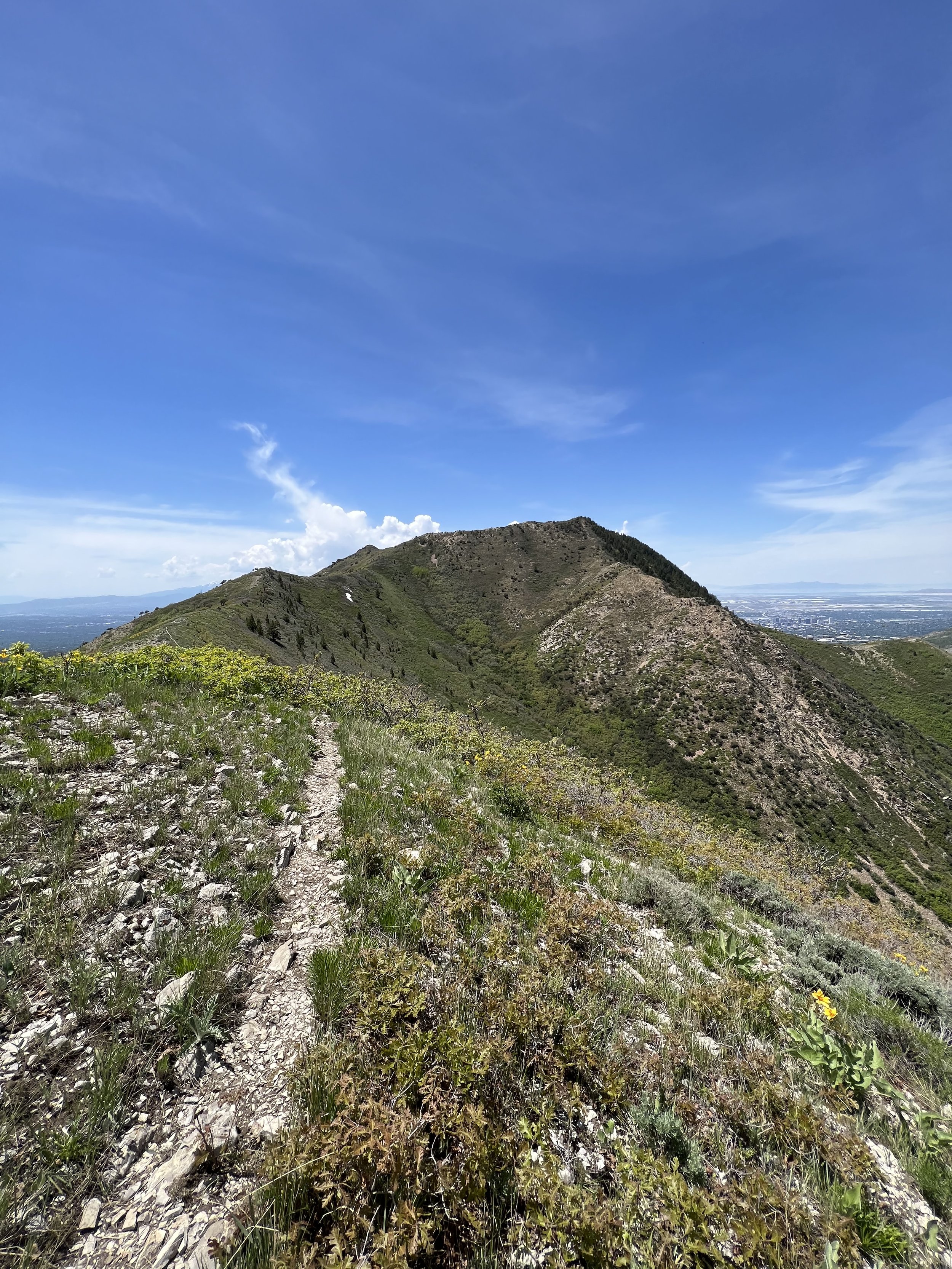
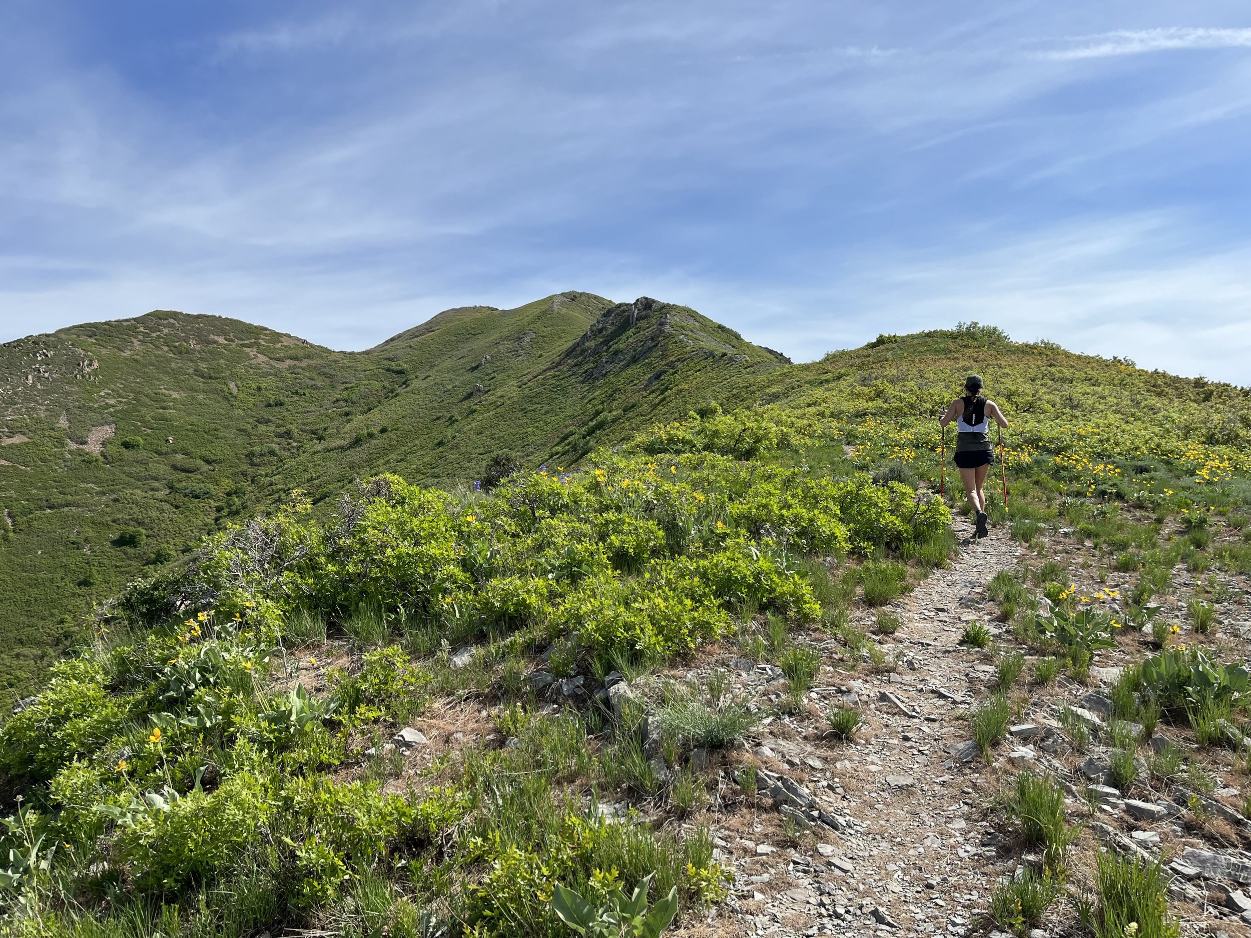
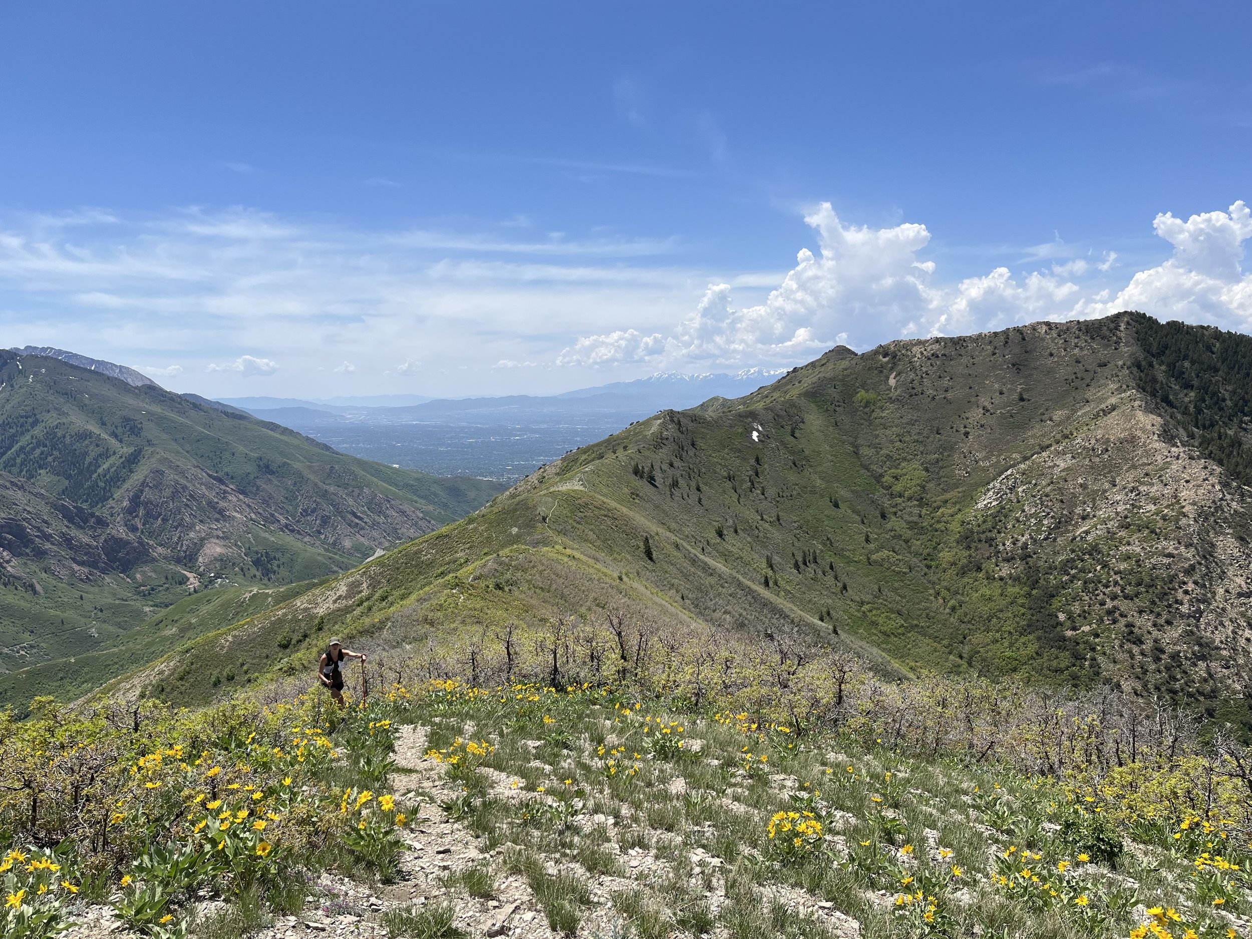
Summit 31 - SOuth Mountain - May 26, 2023
This is a sleeper summit! Short, but direct trail/old road will take you all the way to the top of the ridge where it drops off to the east and west. No people in sight. Exceptional 360 views of Utah County to the south, the southern end of the Oquirrh Mountains to the west, Herriman to the north, Salt Lake City to the northeast, and American Fork to the east. I pushed the pace on the climb and felt pretty great about my effort. Watched 3 bolts of lightning strike over Kennecott Mine as I absorbed the views from the summit, before meandering back down. Highly recommend exploring this one.
Images below: New Salomon Sense Ride 5 special editions atop the summit, Looking north from the summit to Kennecott Copper Mine, Looking west across the valley to Lone Peak in the distance, Yours truly on the summit, Summit geological marker, The old summit tower that’s been downed.
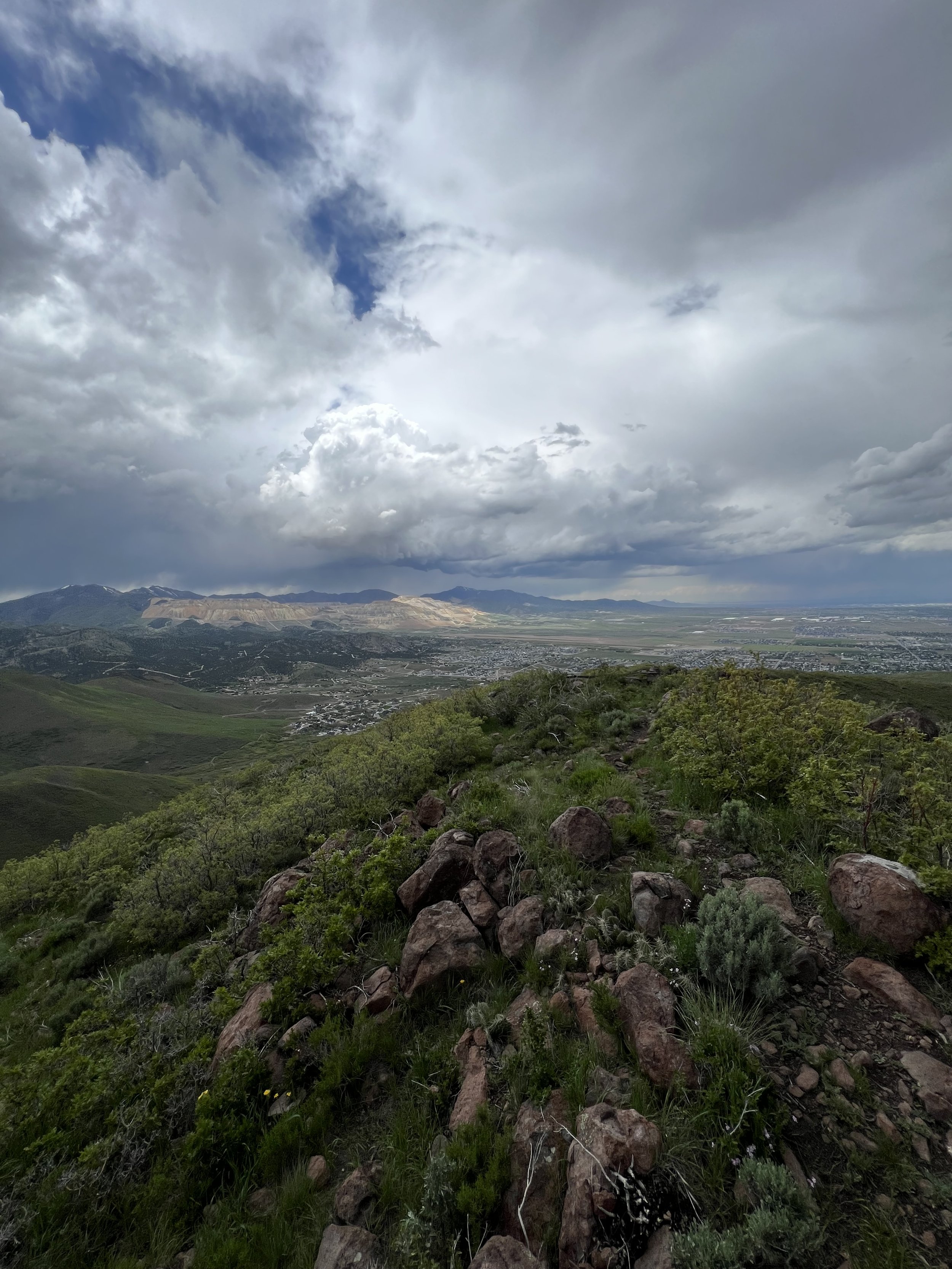
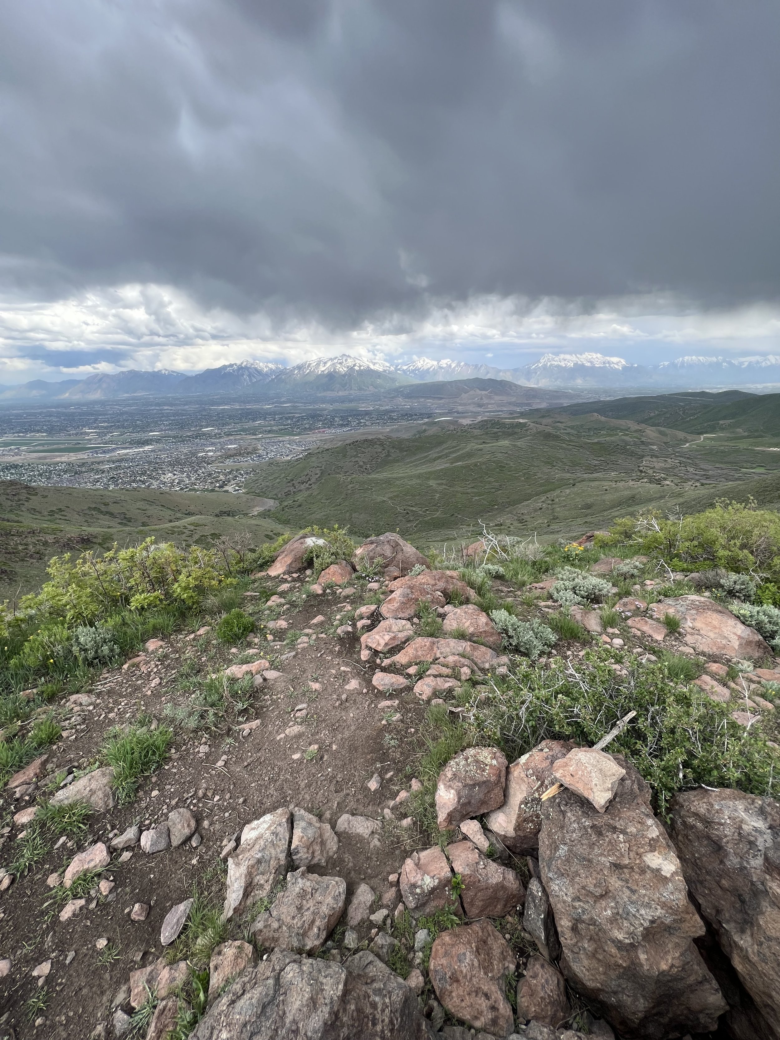
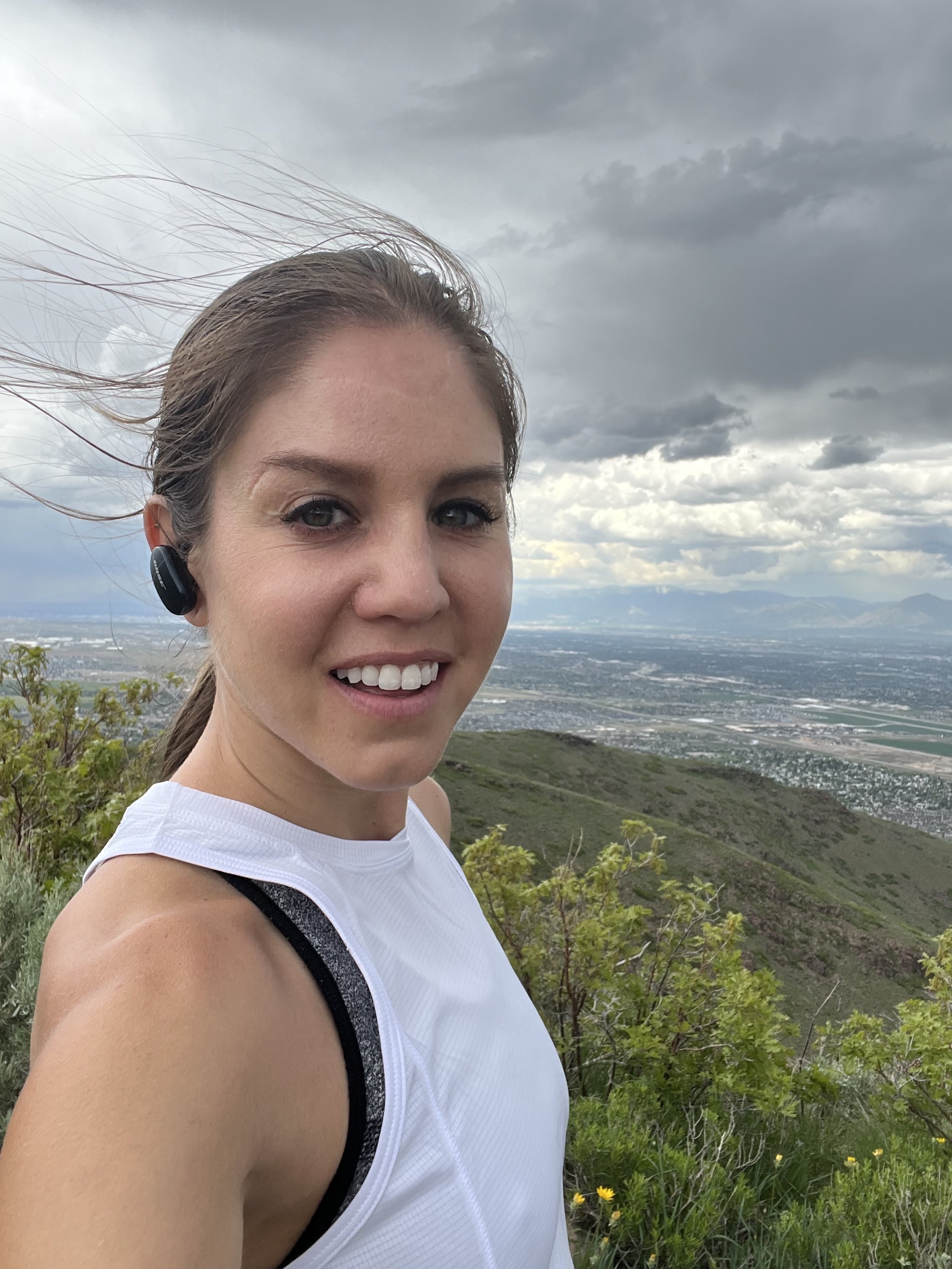

Summit 30 - Step Mountain - May 26, 2023
Funny story, I went to bag this one on the 24th, but accidentally read the topo wrong and summited the hill slightly southeast instead. So I had to go back and grab the true Step Mountain summit, and I’m glad I did because this pile of rocks was had a neat little view.
Images below: View from below looking up at Step Mountain (the pointiest one in the center), Step Mountain coming into the off-trail section, Looking up at the scramble pile, From the summit looking southeast toward South Moutain.
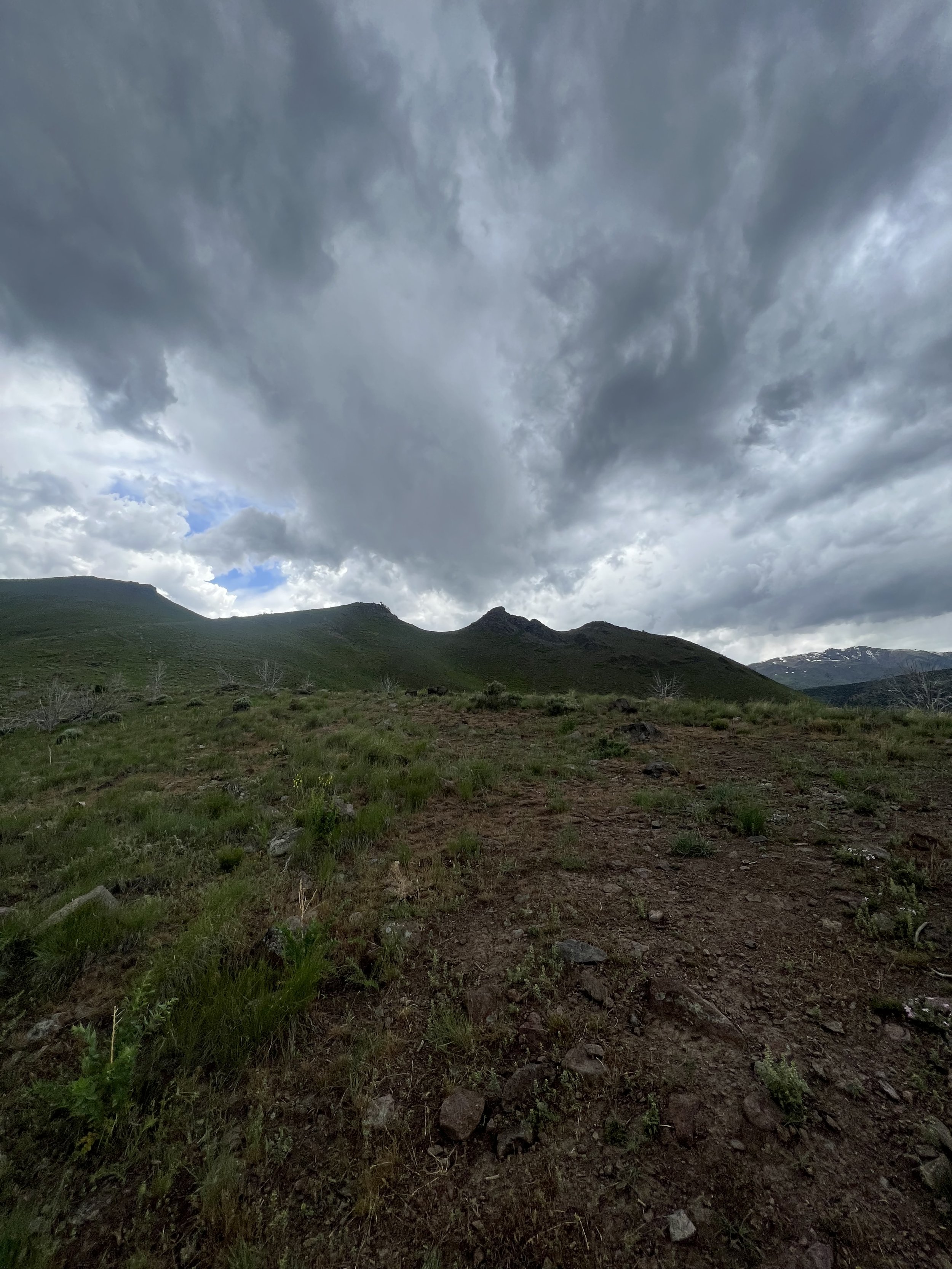
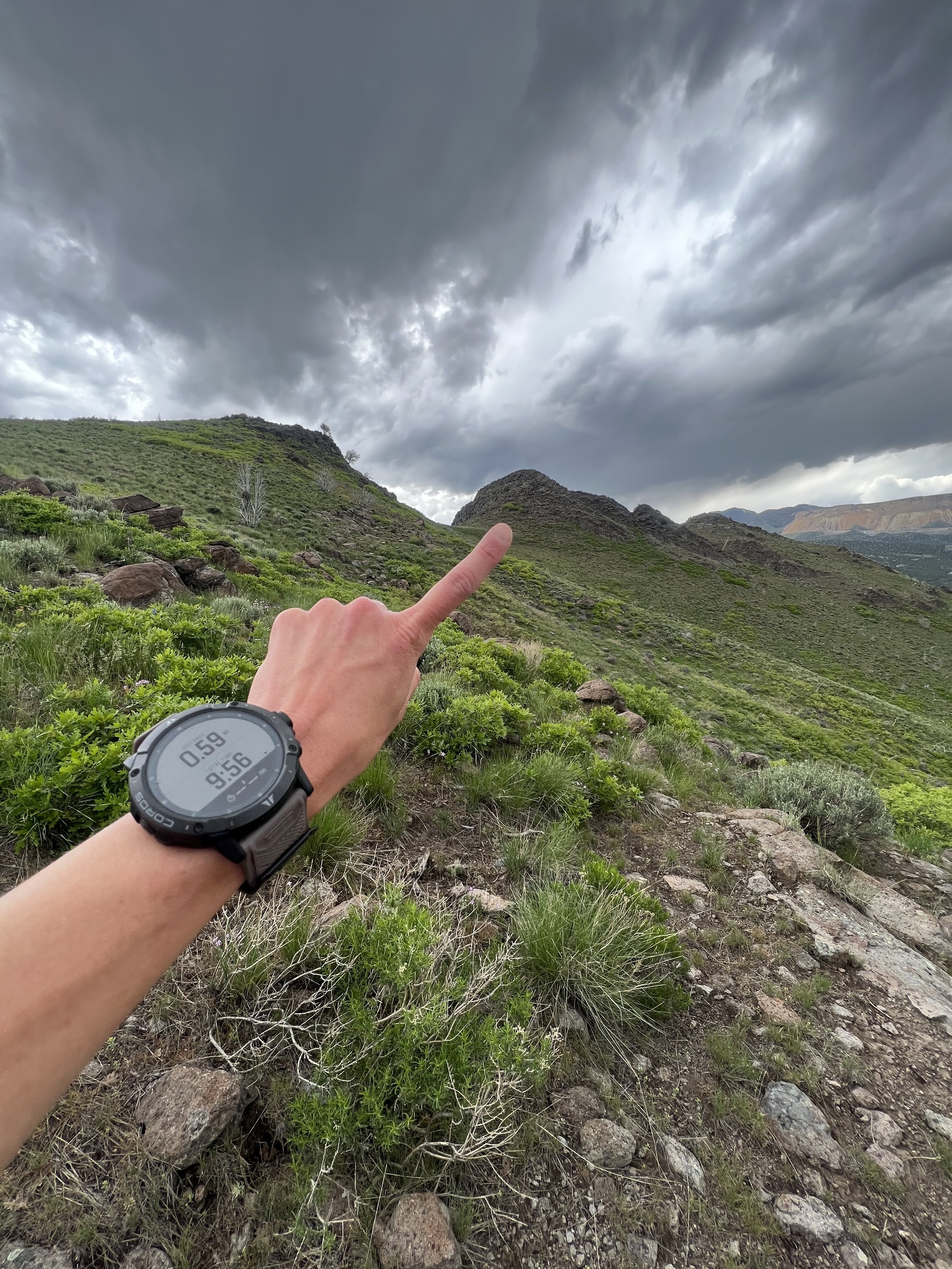
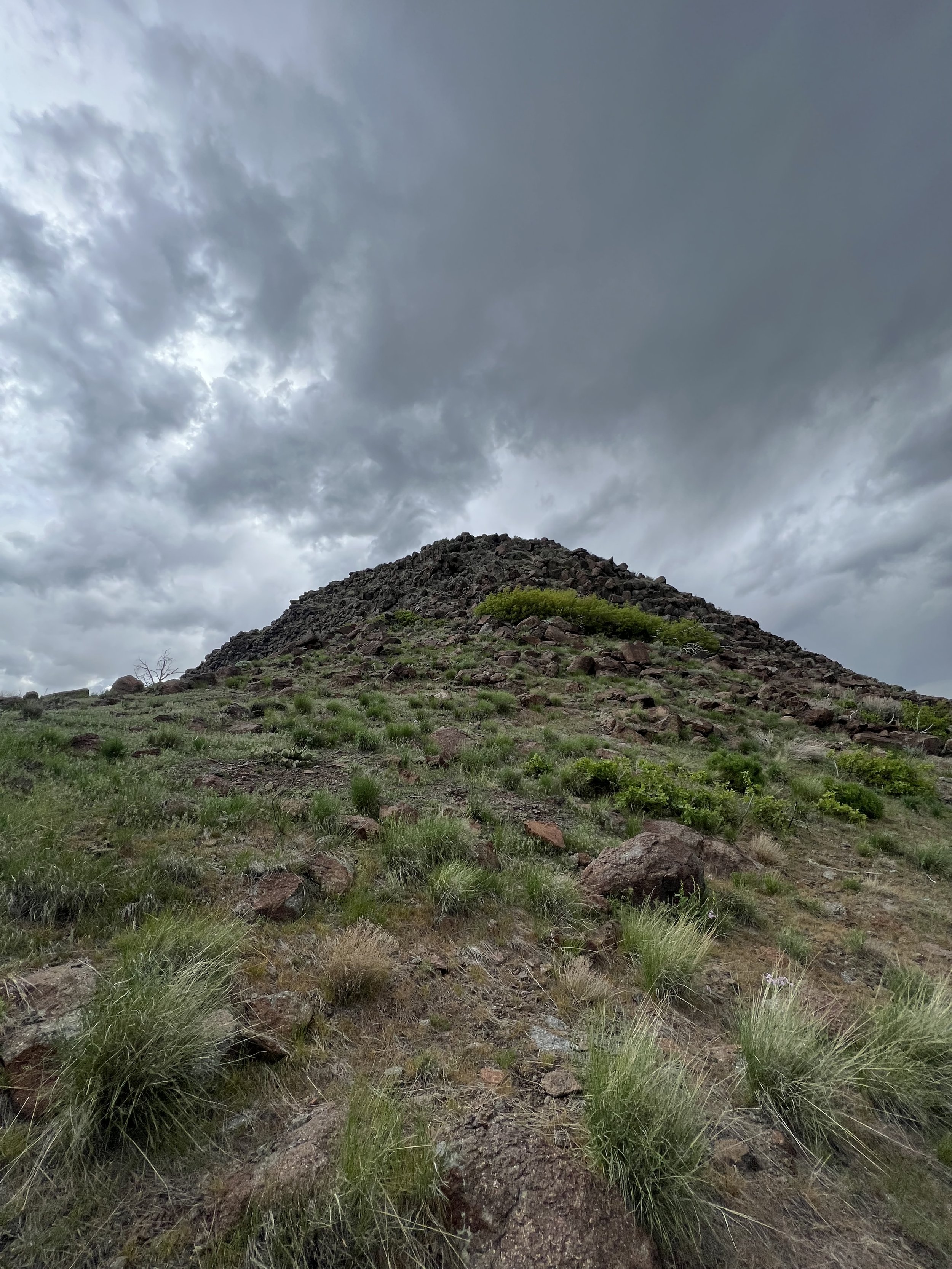
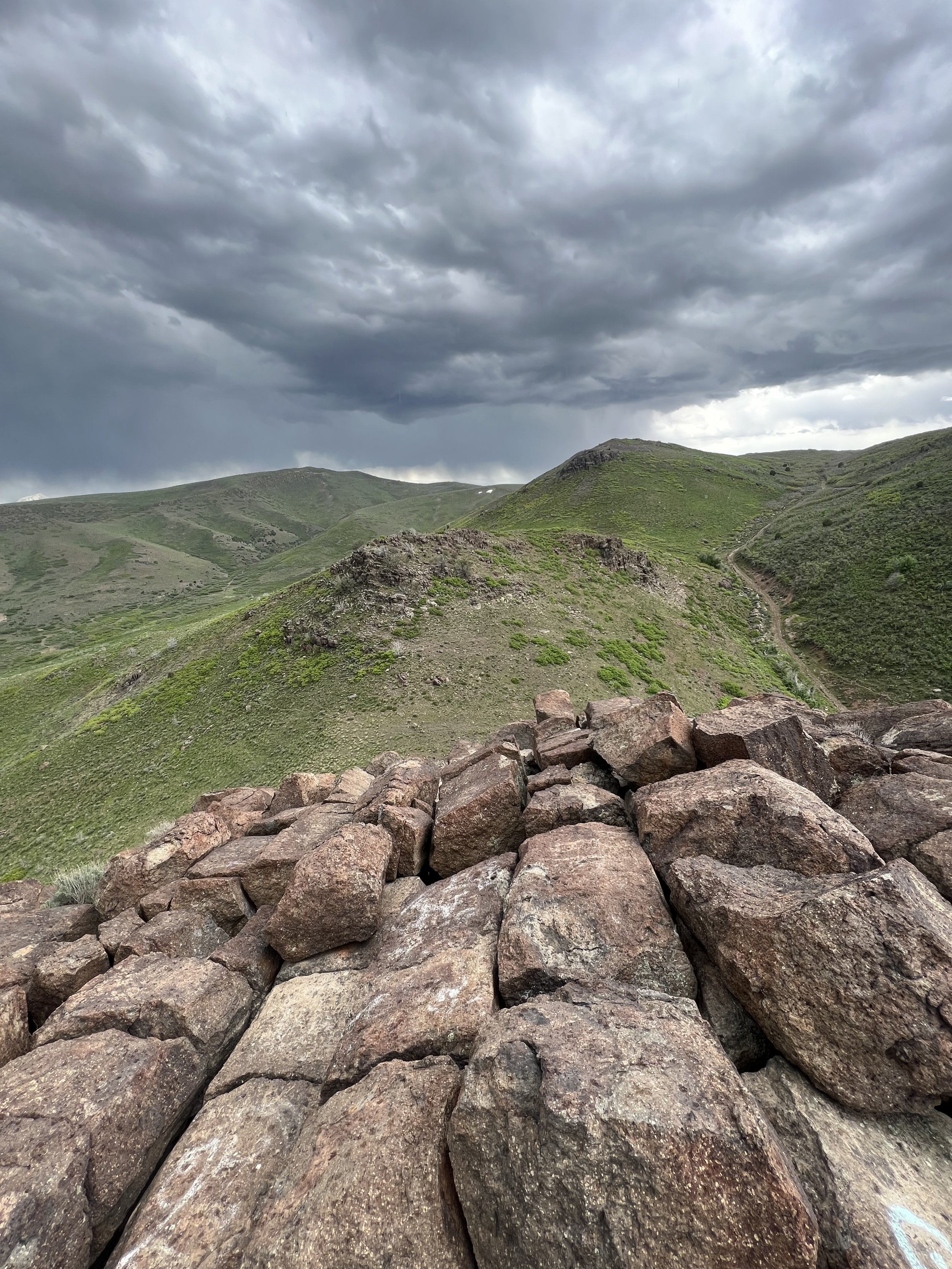
Summit 29 - Mt. Van Cott - May 22, 2023
Woof! Not much to say apart from we started with the direct ascent trail, pushed the pace which was heckin’ fun, and then took the descent off the south side much more conservative.
Images below: Summit of Mt. Van Cott looking south, On the higher point looking east, A cute little lizard.
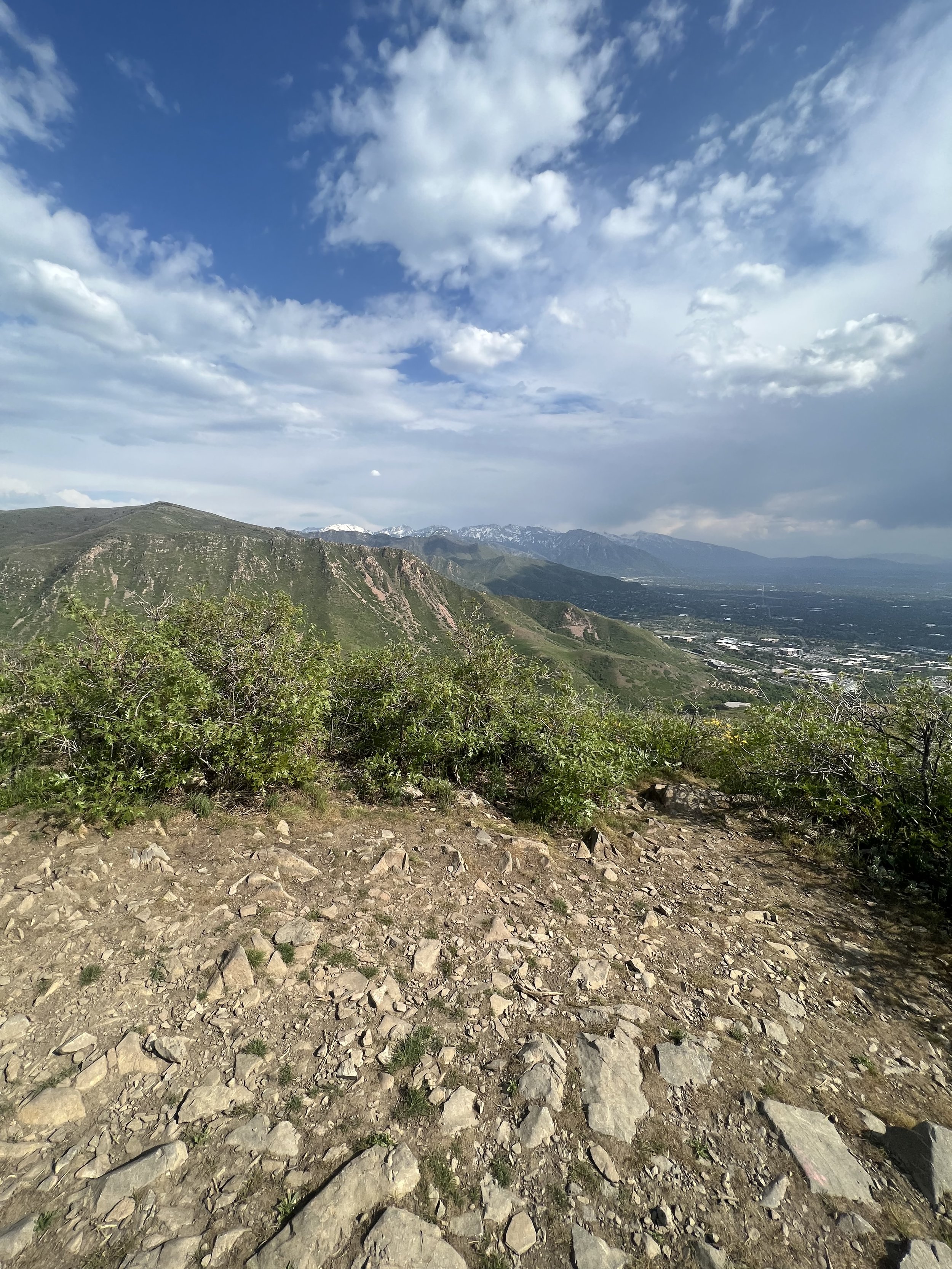
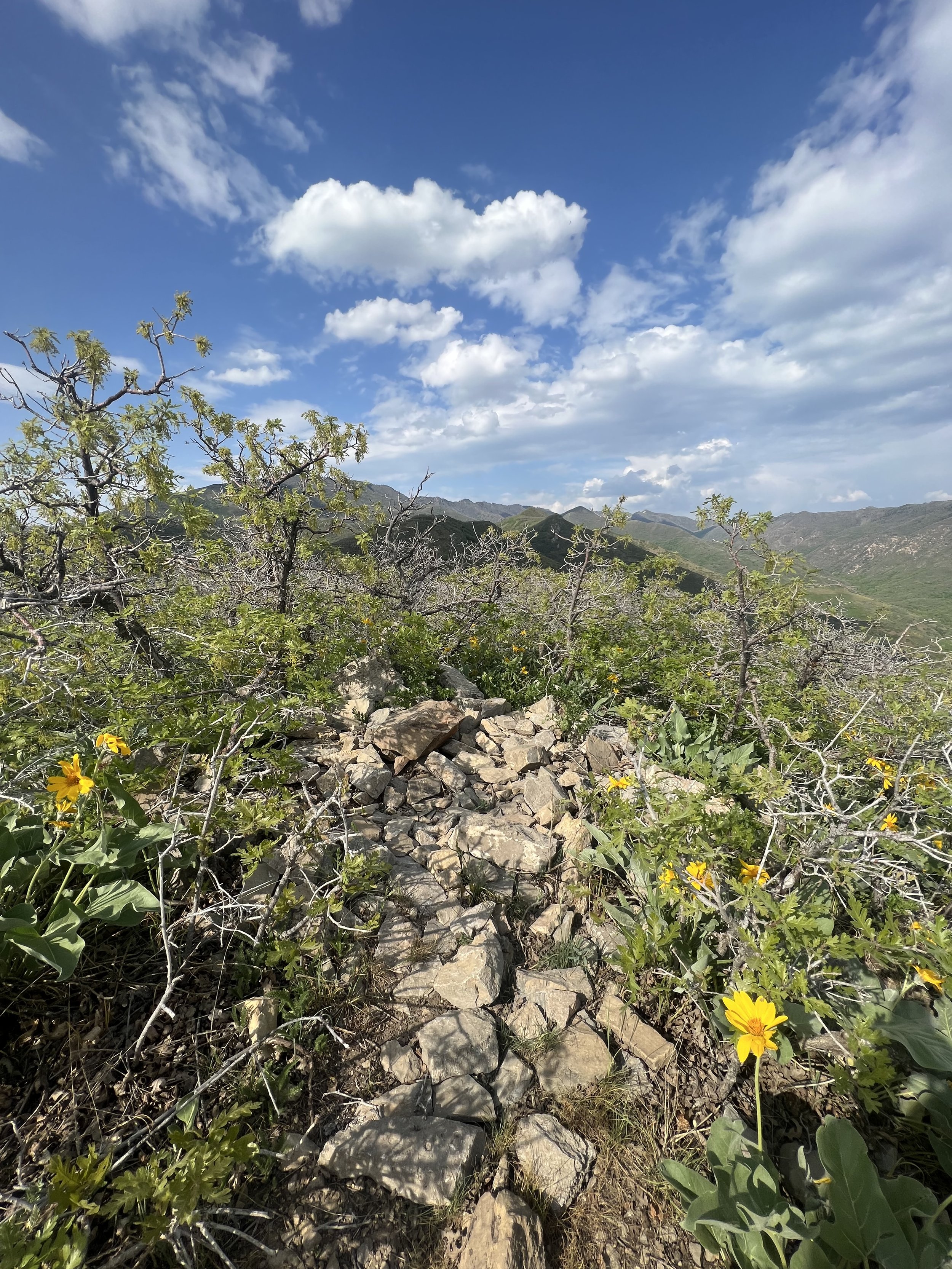
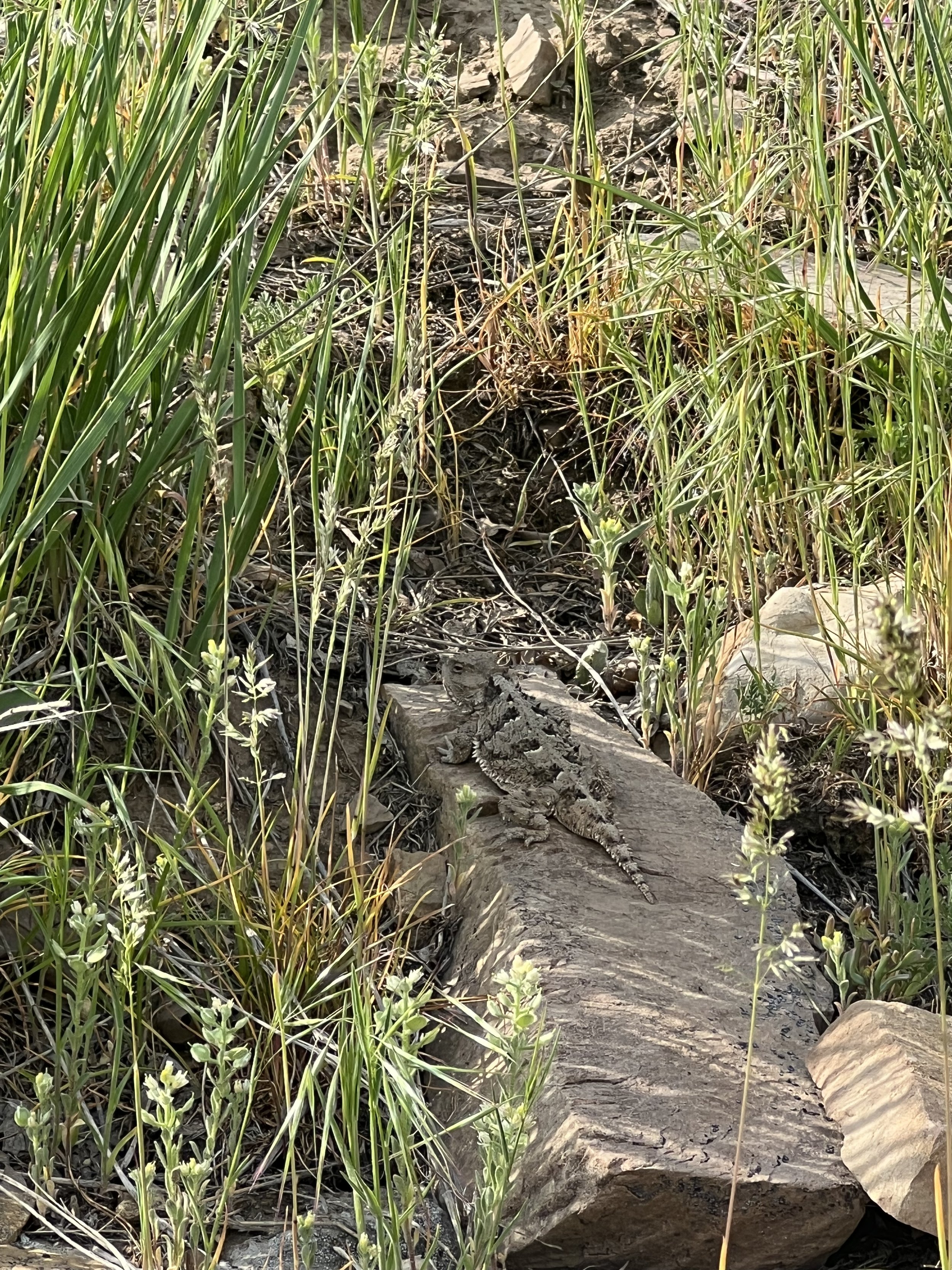
SUMMIT 25-28 -Steep Summit East, Steep Summit West, Red Rock, Potato Hill - MAY 20, 2023
Strava GPS - Potato Hill
The Steep Summit Ridge might be one of my new favorites in all of Salt Lake! There are a few access points for this one, but I chose the Oak Ridge TH for the direct ridge route. The trail ducks under the road in a large culvert, then winds up to the meet the BST. From the junction, there is a steep trail to the right that ascends to the ridge. It’s nothing crazy, but it sure isn’t easy! Once atop the ridge, I crested the east Steep Summit first, then frolicked along to bag the second, west Steep Summit. Most people would have no business running on this ridge. It’s pretty loose dirt and rocks, with an entire network of buttery smooth singletrack just below in the southern foothills. The main visitors to Steep Summit west are actually paragliders! On good weather days, it’s common to see literally dozens of parachutes floating above the hillside here. Unfortunately, I did not get to see any, as the air quality is dismal from wildfire smoke that blew in from Canada. Despite the lower than ideal visibility, I still enjoyed this ridge as the juxtaposition of a cityscape on one side, and green hills on the other was quite neat.
I descended the Steep Summit ridge back to the culvert and took the lower BST east to Red Rock. Turns out, this is a namesake rock climbing crag and I had no idea. The feature looks out of place, as its isolated, jagged red rocks poking up on a hillside, almost entirely surrounded by suburban abominations called “houses,” that look like they were designed by the tasteless homeowners themselves vs any architecturally witted entity. I digress, the trail leads directly to the top where there are a handful of top anchors for routes. I’ll have to come back and climb since it looks like it gets good shade!
I reversed the trail back to the car, and then drove up the hill to the Potato Hill TH. I believe there is a way to connect this with the other trail system, but I was tight on time so I opted for the quick hit. Round trip from the parking area, Potato Hill isn’t even a quarter mile. It might actually be the shortest summit of this entire project.
Images below: The culvert, Steep Mountain ascent trail, Marker for the Steep Mountain East Summit, Marker for the Steep Mountain West Summit, Wildflowers with Lone Peak in the background, The Steep Mountain Ridge with SLC to the north and green space to the south, Red Rock feature, Sign at the top of Red Rock, Looking over the edge, Looking back toward Steep Summit, Potato Hill sign, Summit of Potato Hill looking west.
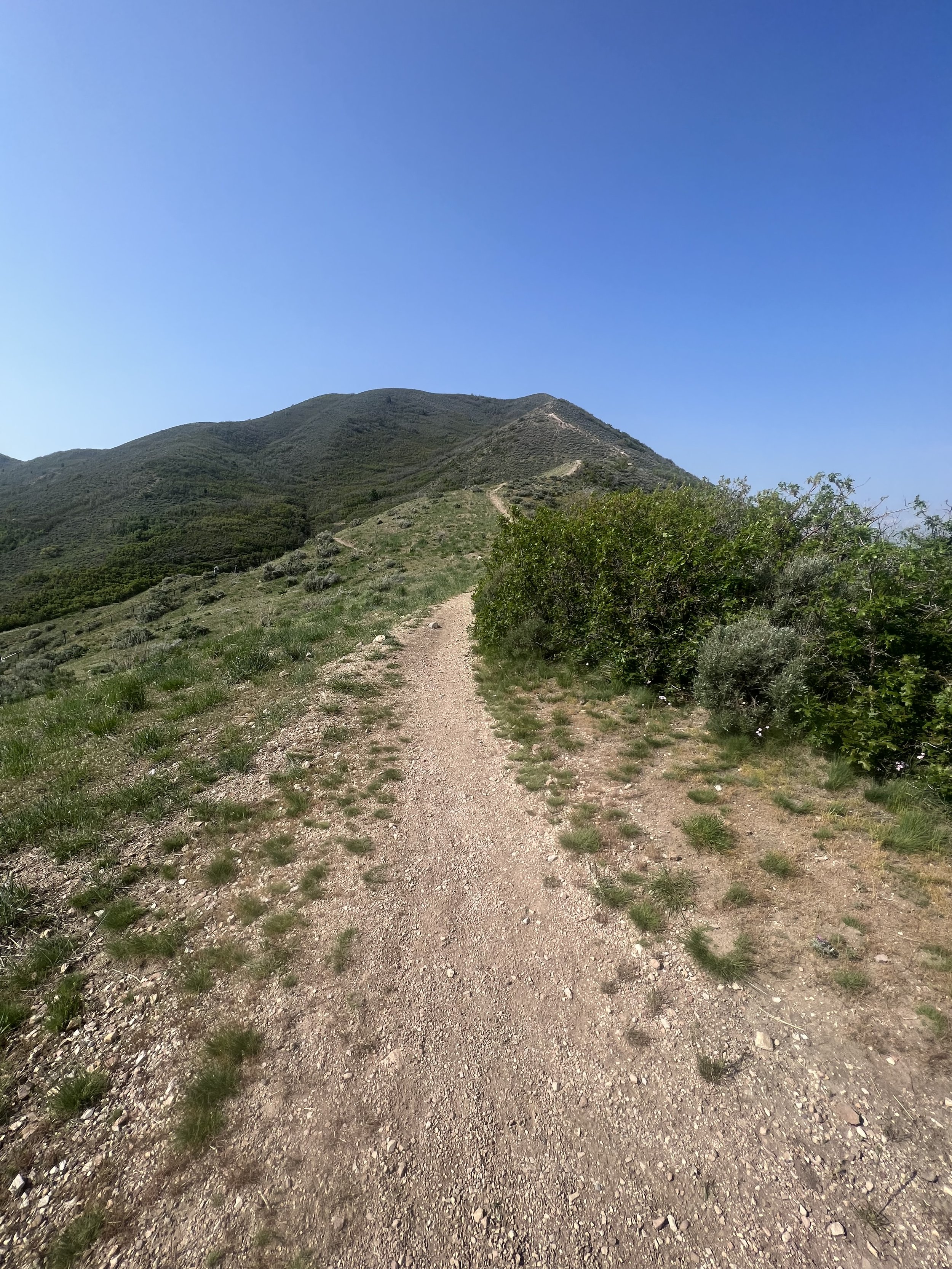
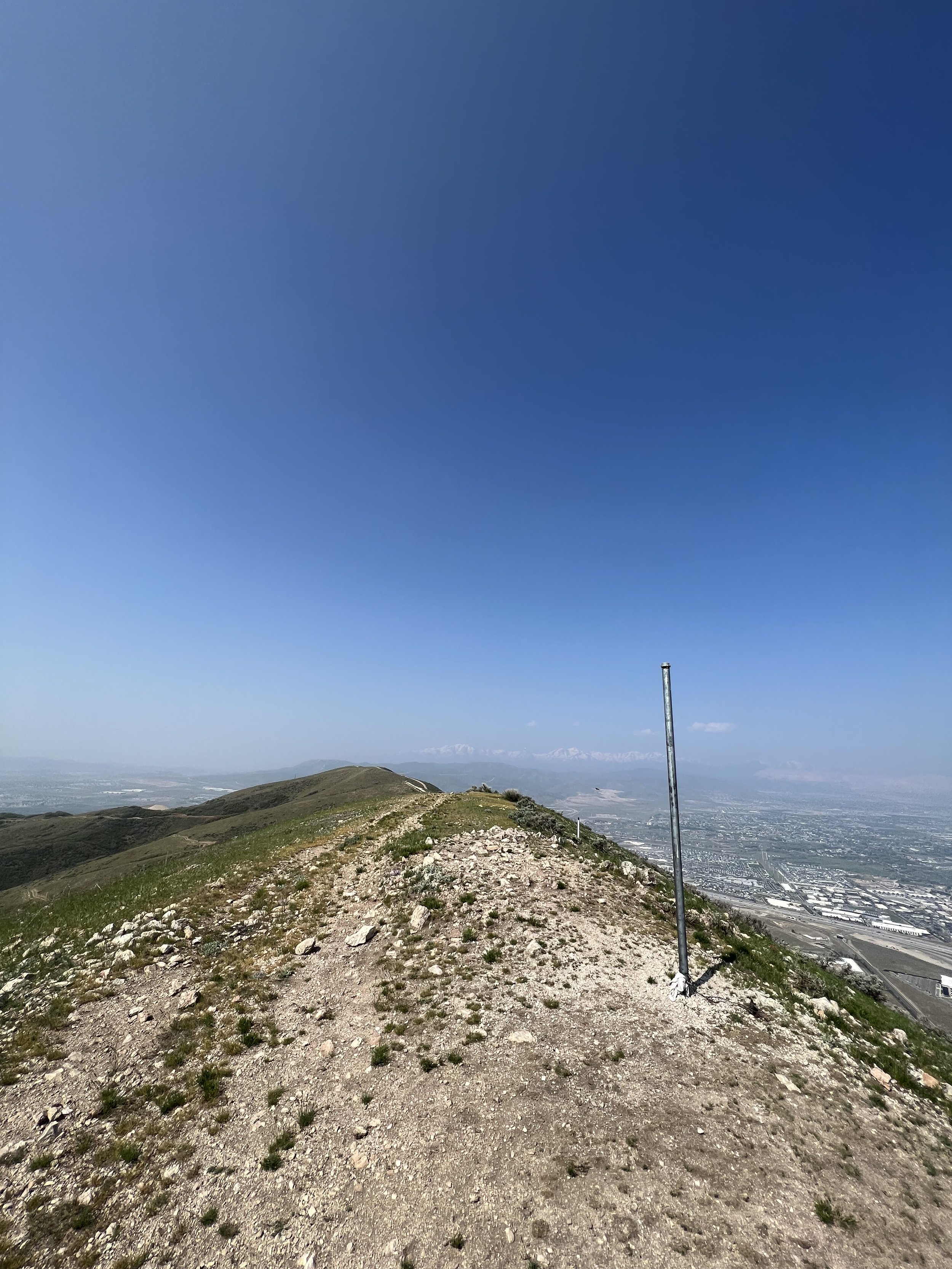
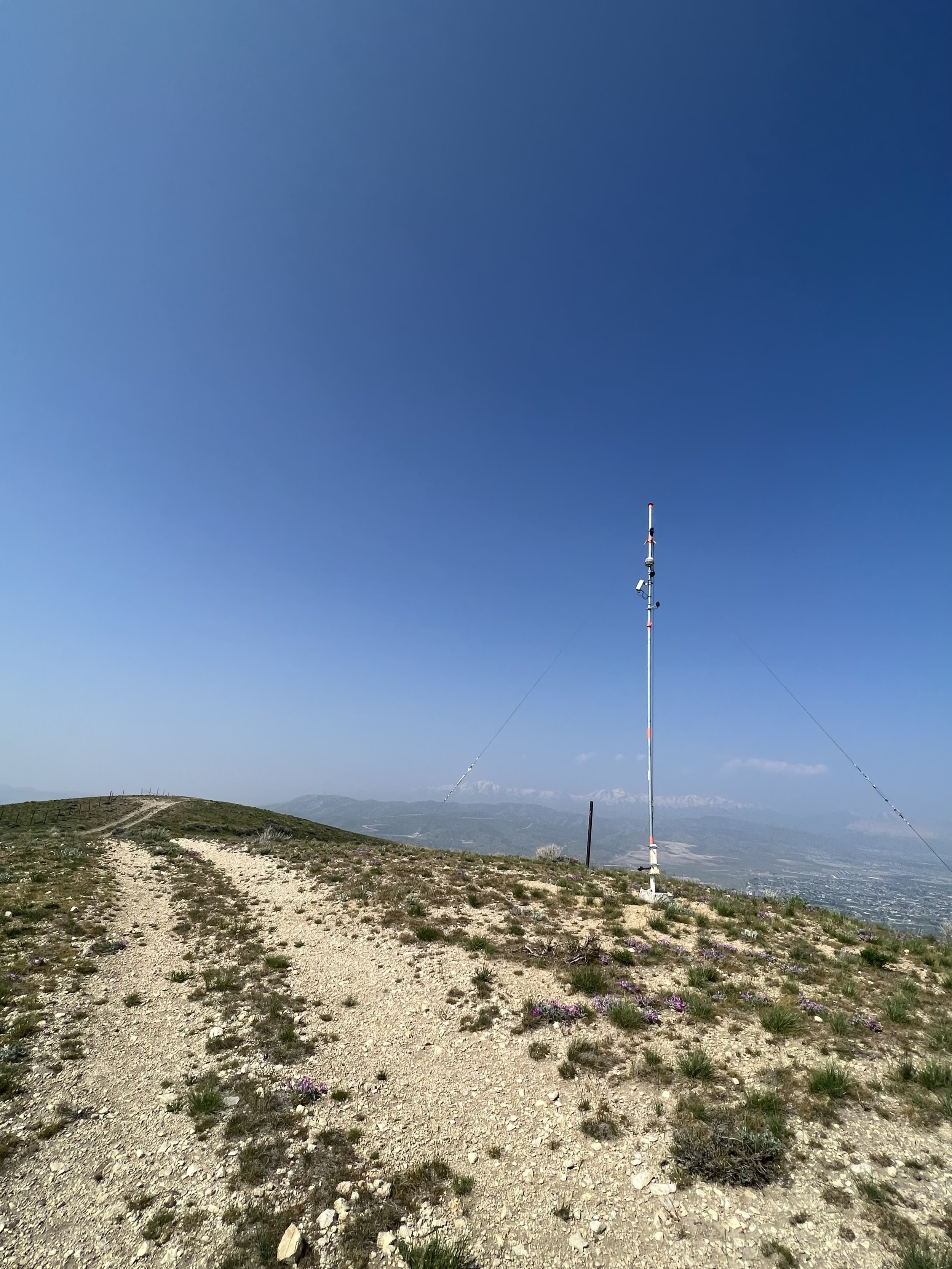
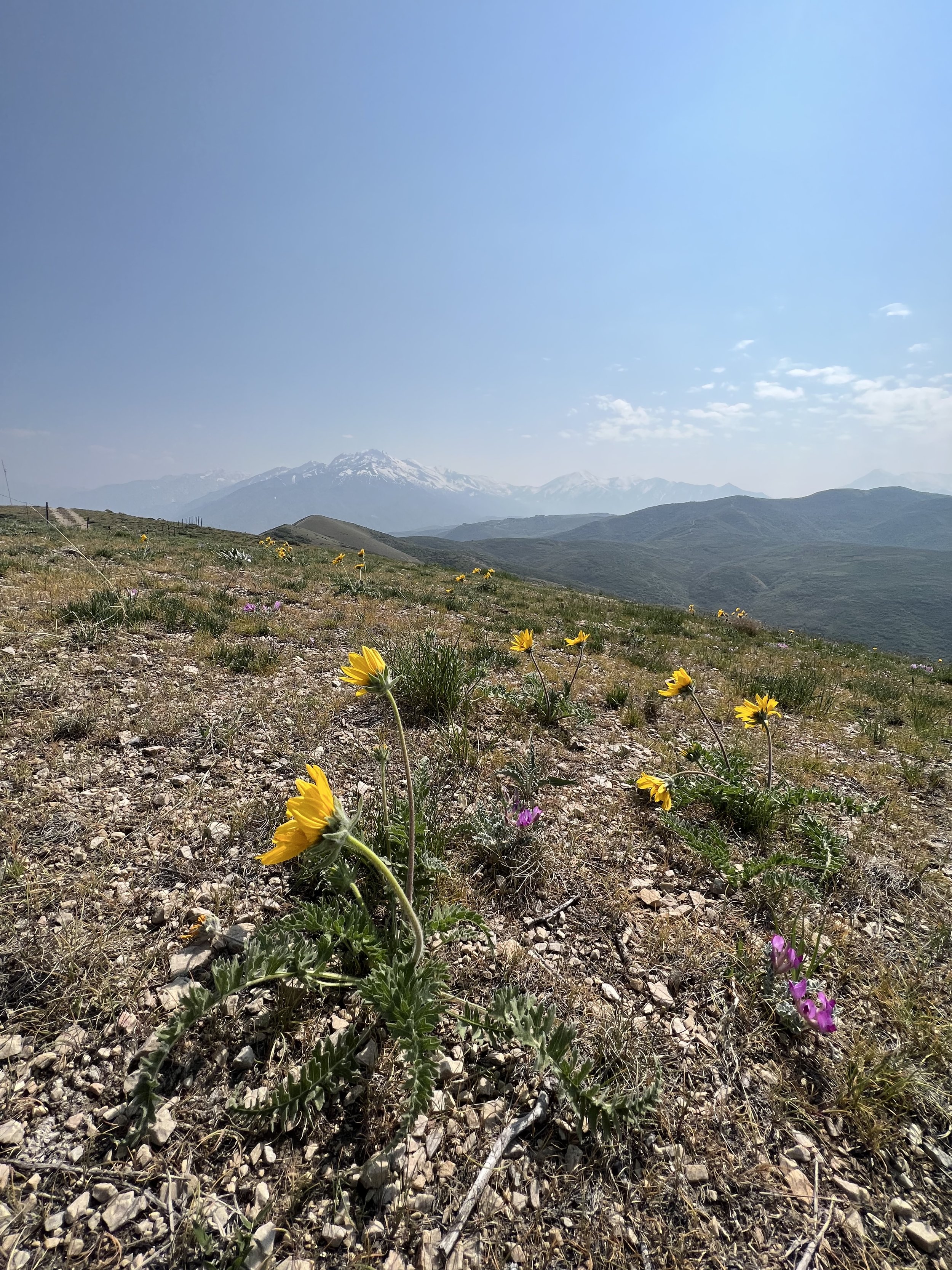
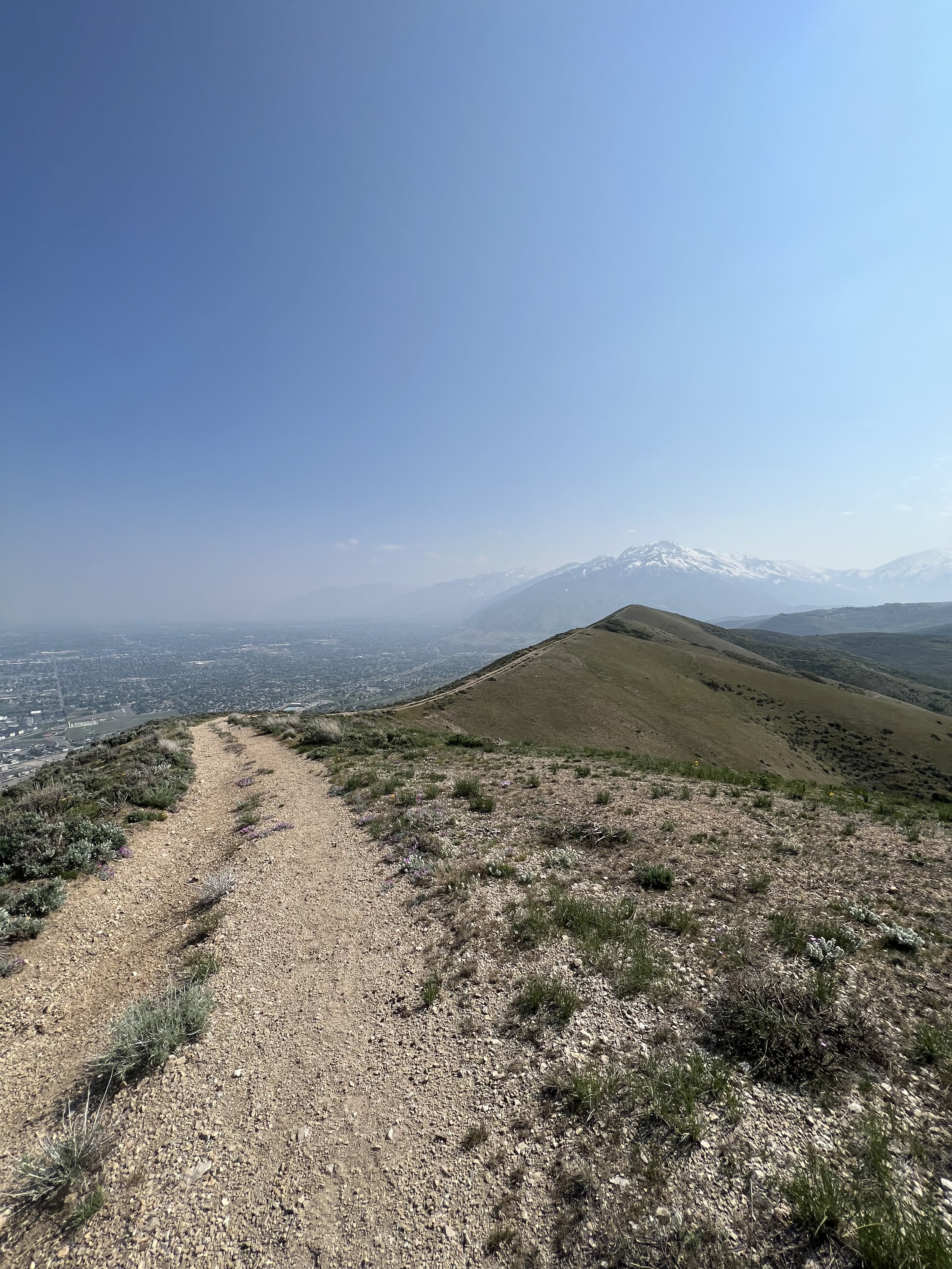
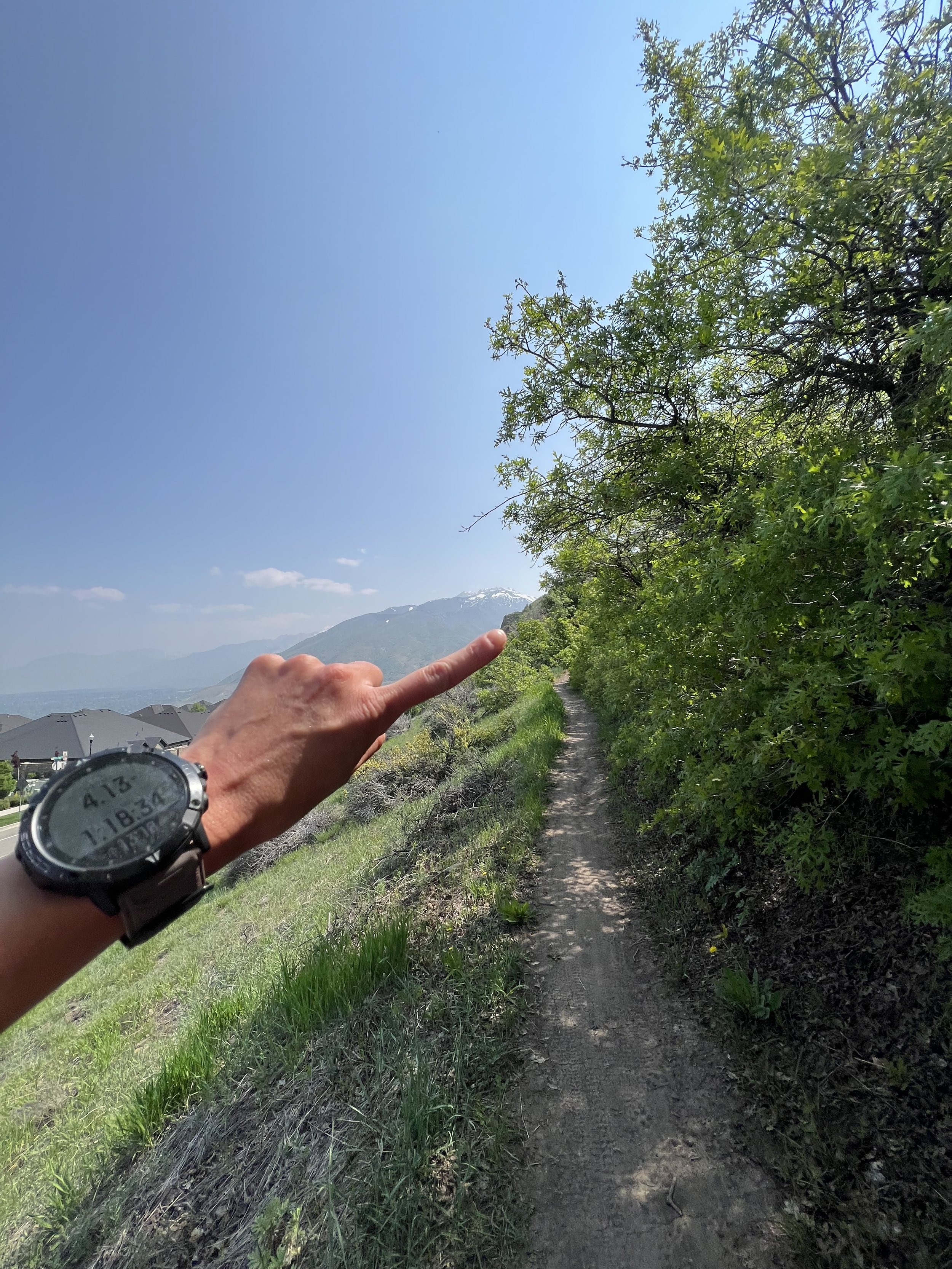
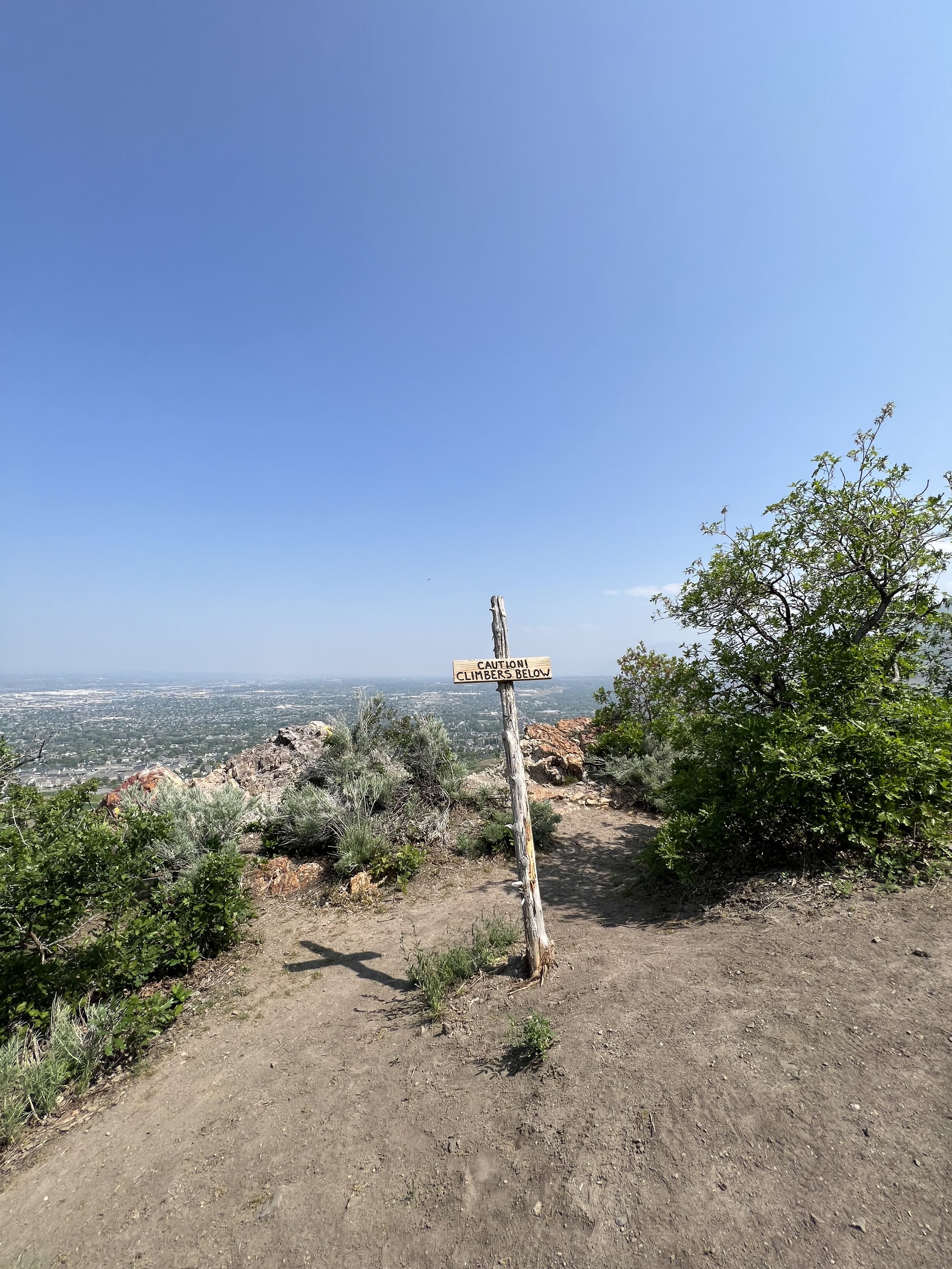
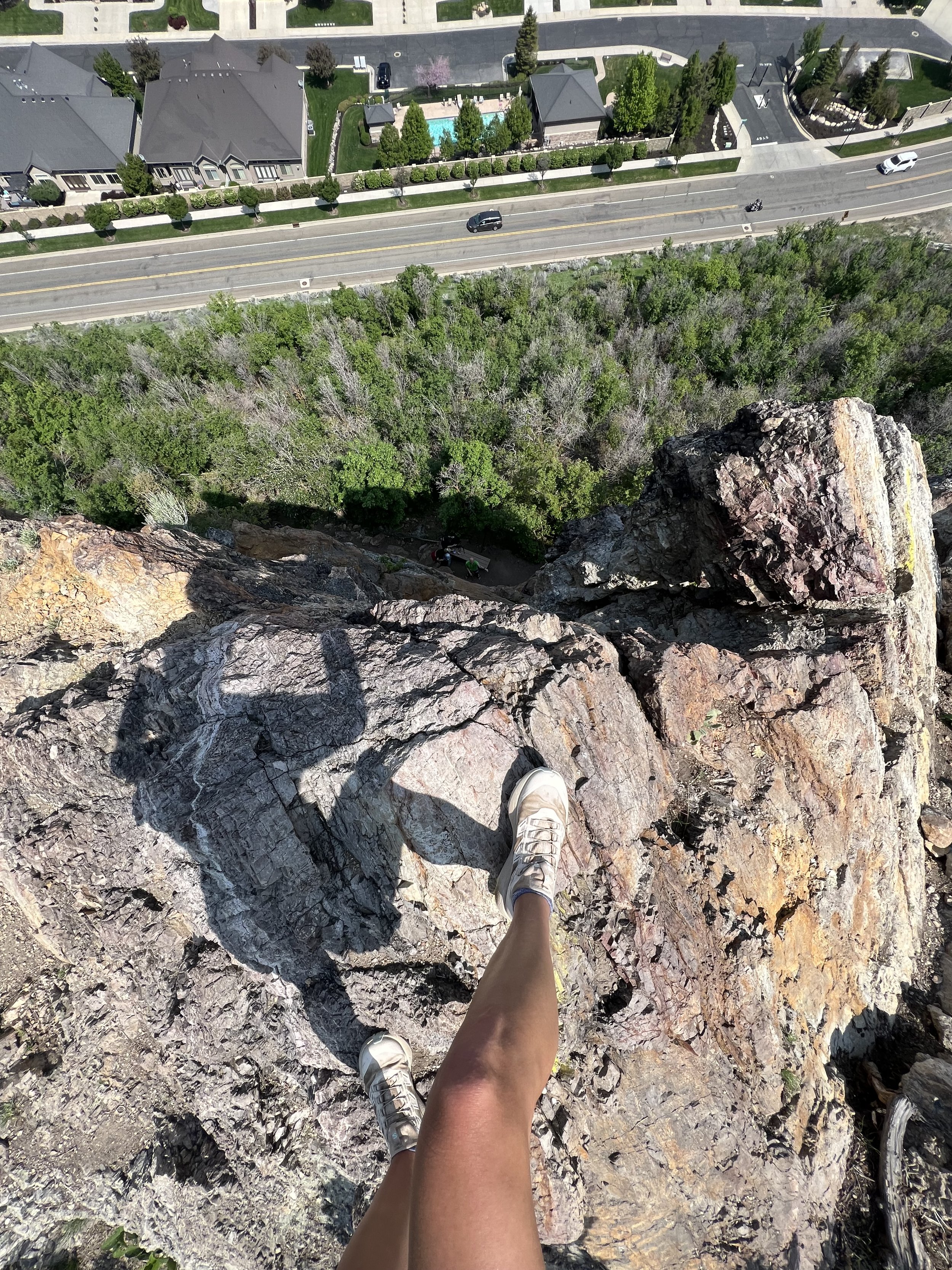
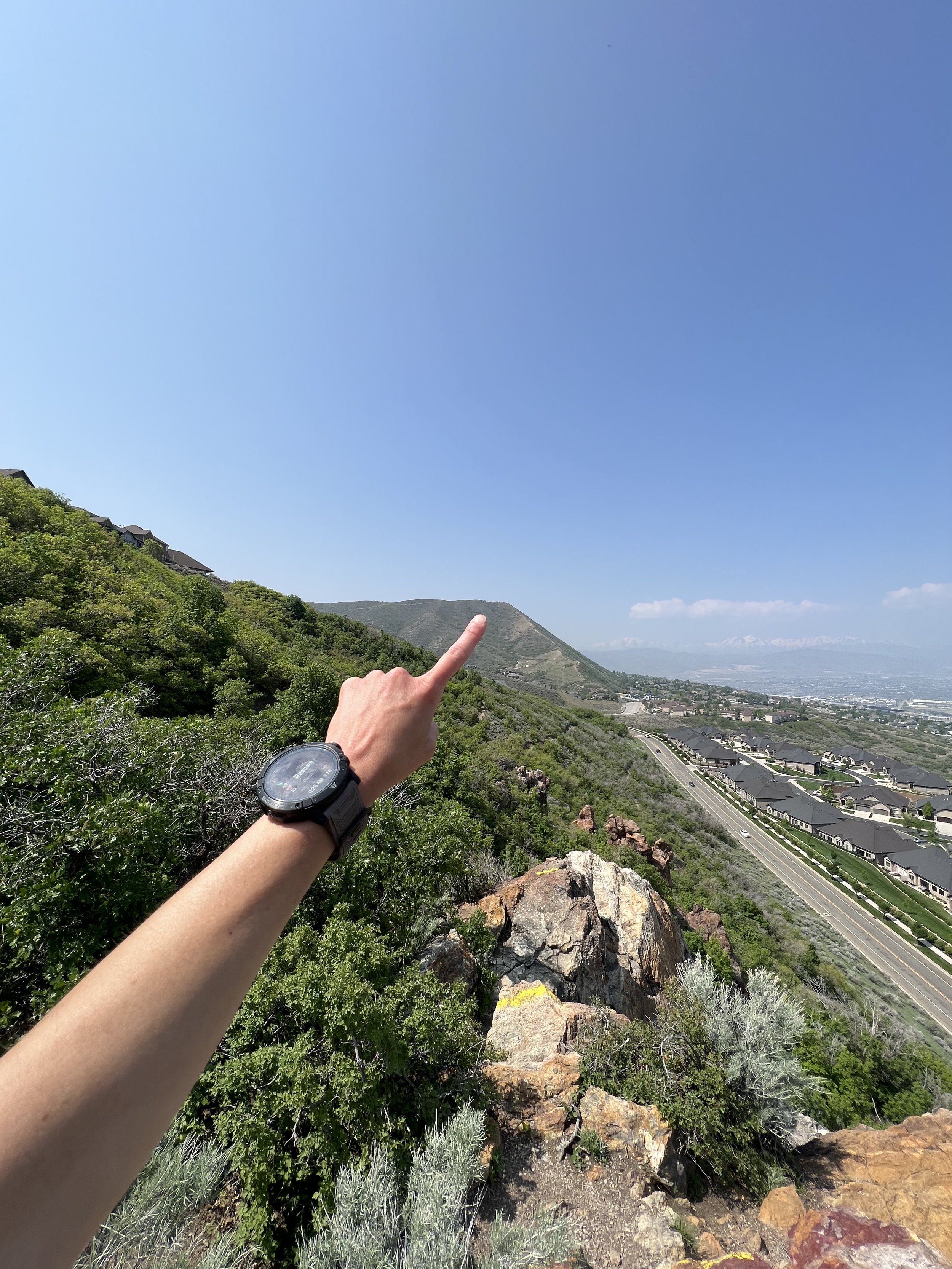
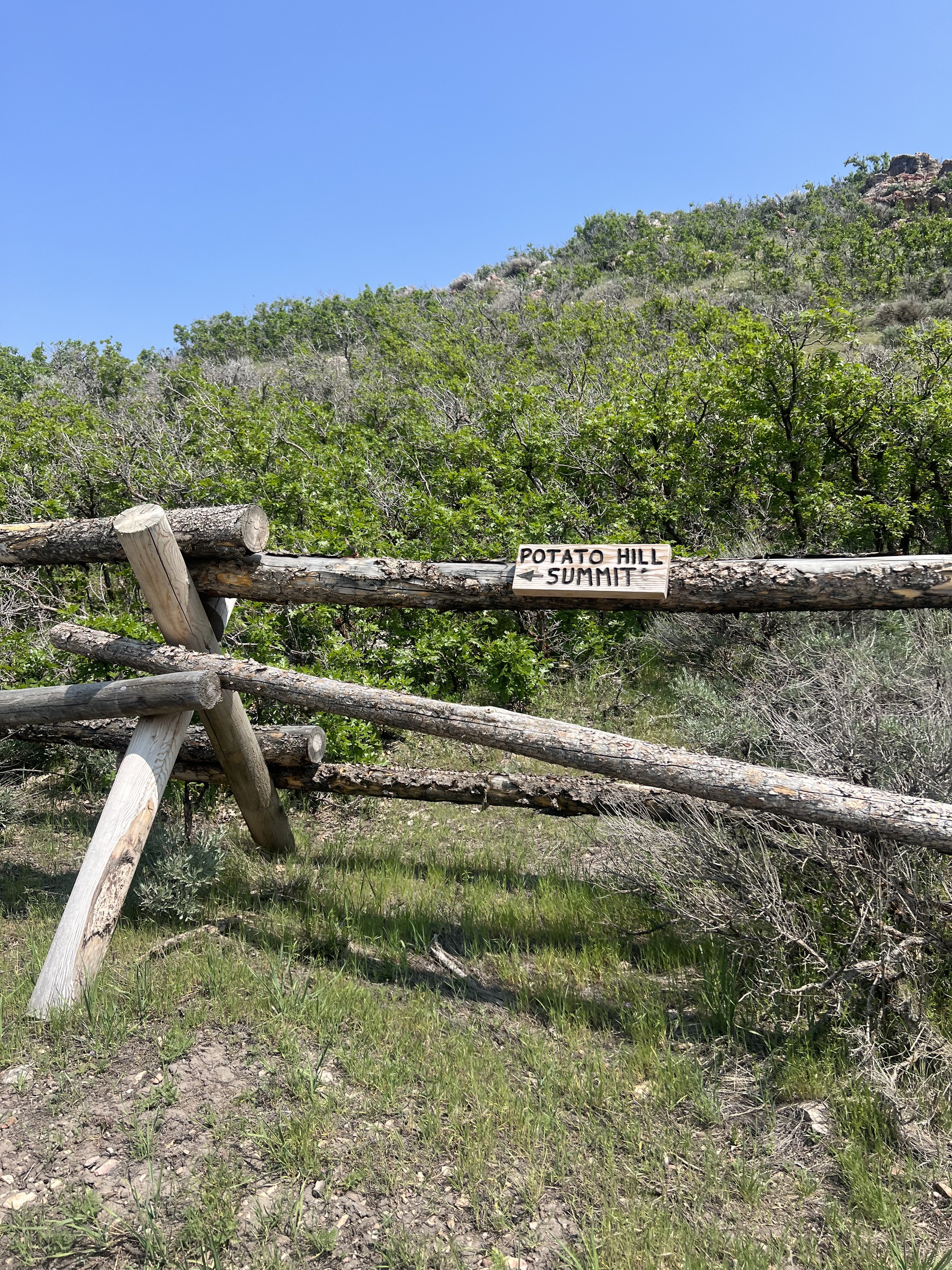
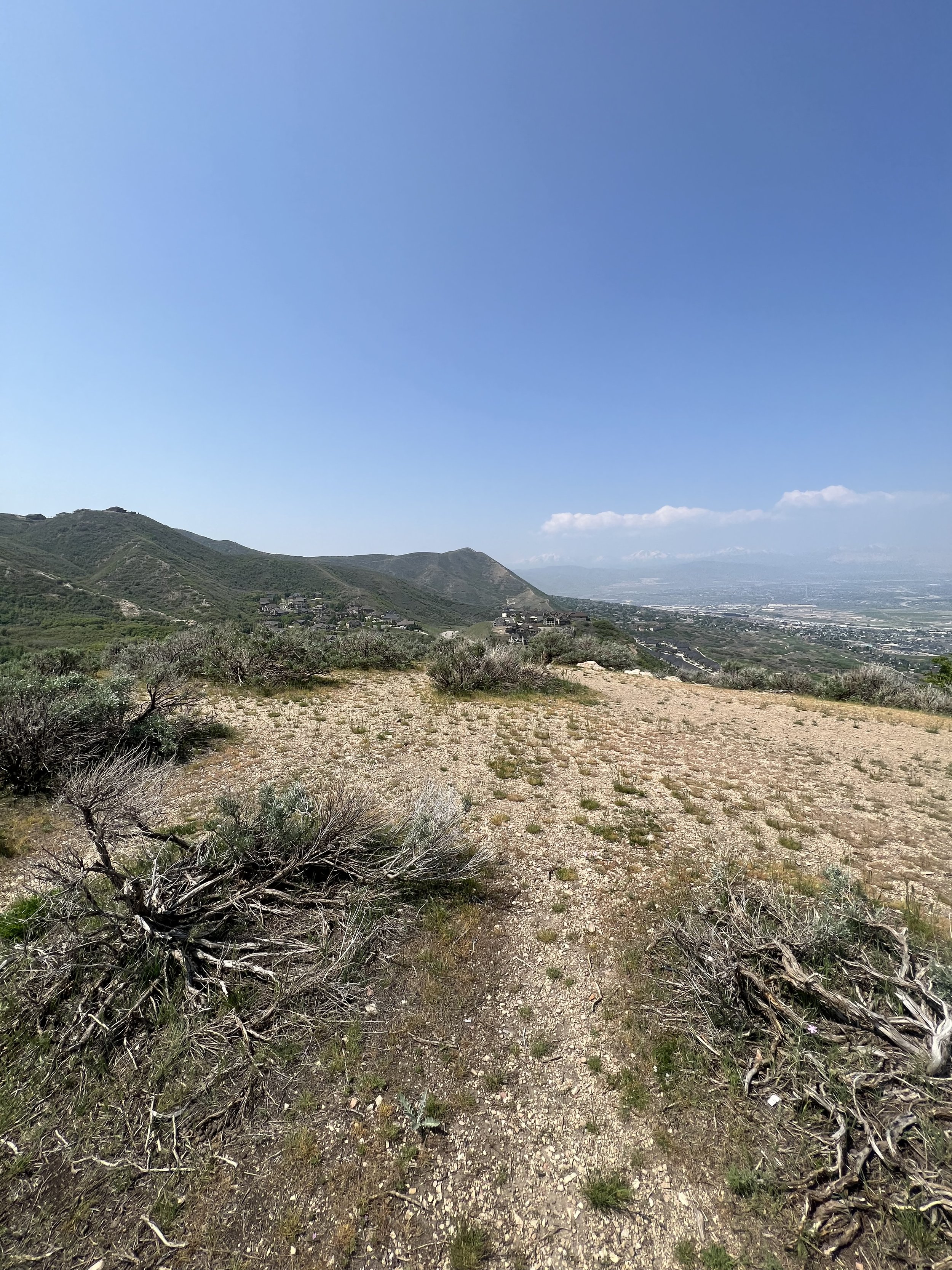
Summit 24 -Meridian Peak (and Three Sisters) - May 10, 2023
Spring! The flowers were poppin’ off, wind was gusting, and the moody skies were painting a delightful picture for this one. I started at a relaxed pace from City Creek, picking up the speed as I started heading up the BoSho trail to the saddle. Once at the top, I realized the Strava map identifies the 3 “hills” to the east as the “Three Sisters,” so I changed my route to horseshoe around the ridge allowing me to bag all 3 as a bonus and still tag Meridian. The sequence of steep, but short hills was quite fun and I’m glad I got to rollercoaster my way over them. Once I summited the third sister, I continued along the ridge to the east to meet the junction for the Meridian ridge. There were no people in sight, and the clouds over Grandview and Black Mountain were forbidding. I took it in as I casually moved along the ridge, descending to Meridian. A quick pic of the summit bench, then it was time to reverse the trail back along the ridge and meet the steep descending trail into City Creek—also known as the Pipeline NW trail for the gas line that runs down the mountain here. Once at the bottom I joined the City Creek paved path and cruised the mile-ish back to the car. This was my longest run since January! Feeling better, little by little.
Images below: At the junction of BoSho and the Three Sisters looking up at the first of the 3, The view from the top of the second sister looking east, The tower atop the third sister, Meridian Peak summit bench, The top of the steep/Pipeline NW Trail looking down into City Creek
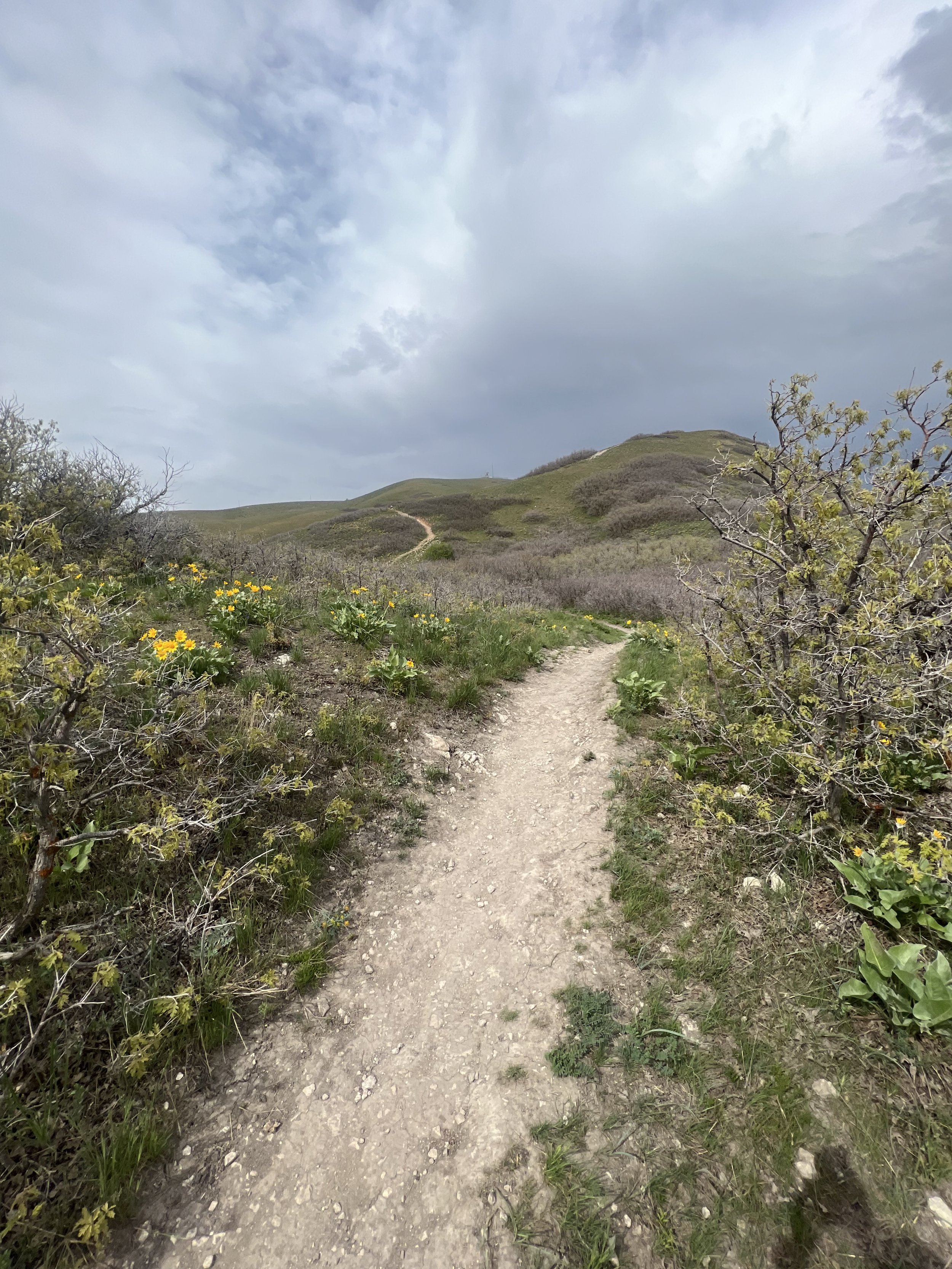
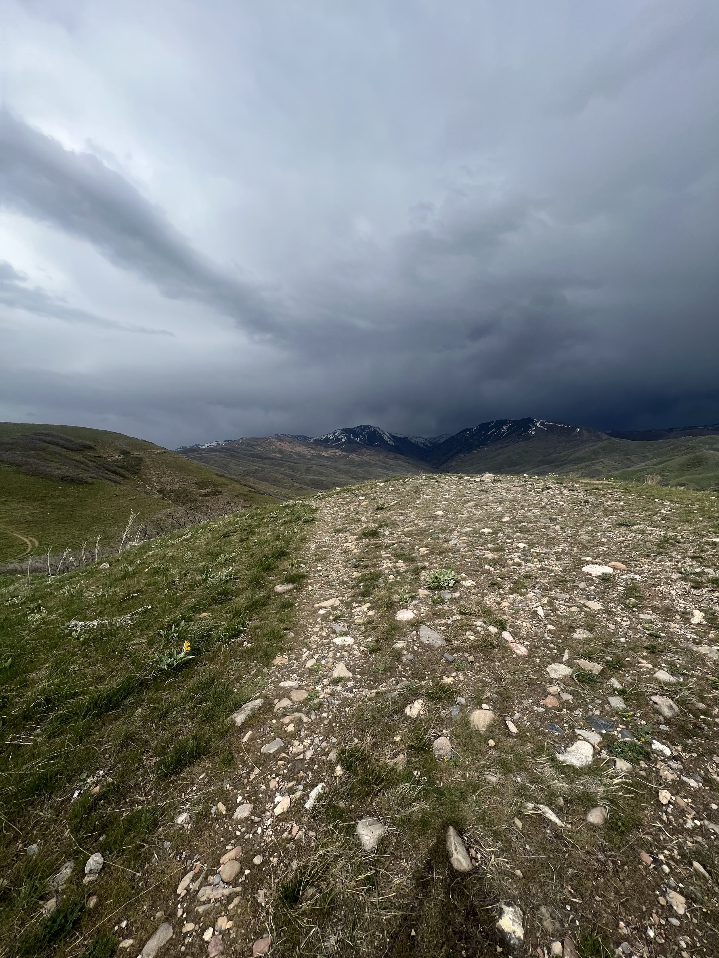
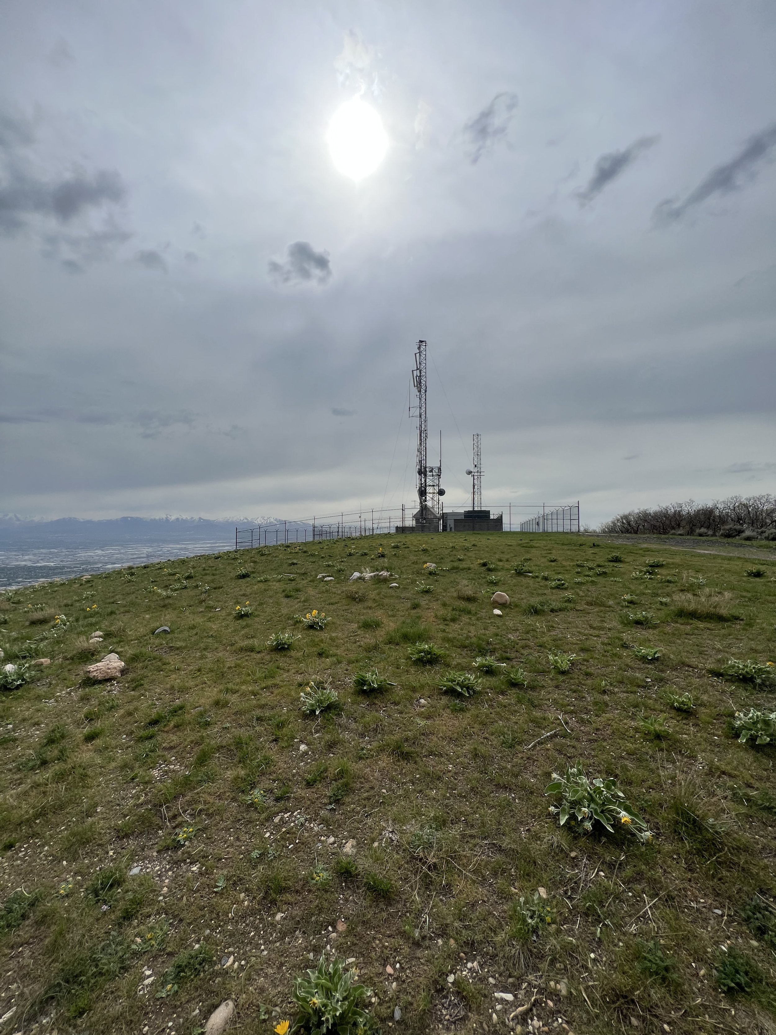
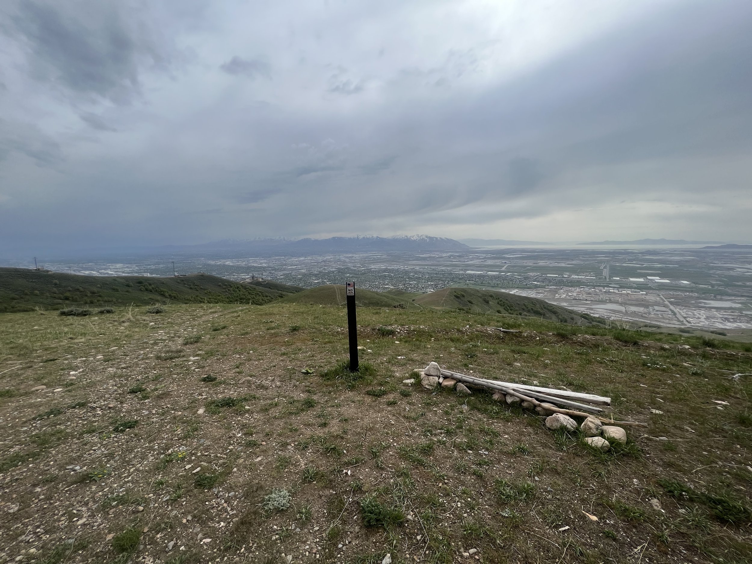
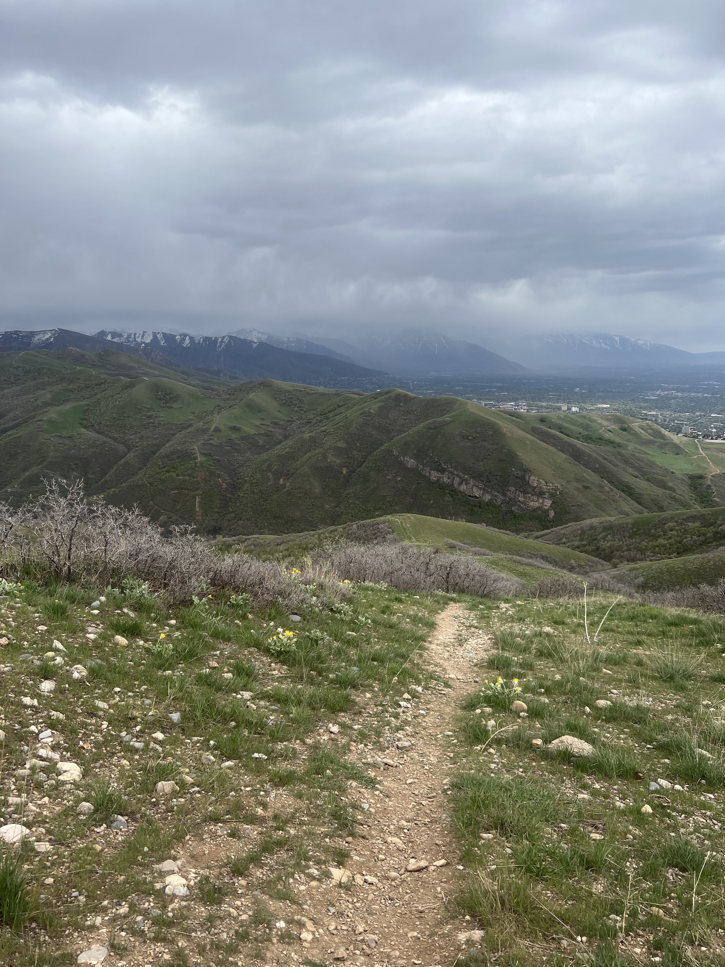
Summit 22 & 23 -Dry Creek Hill/Weathertop and SLC Twins - May 6, 2023
Casual start from Popperton Park in the Avenues, running uphill to the Dry Dreek TH. From there we meandered up the very not dry, dry creek trail dodging a million bikes and runners. We hit the saddle and continued left toward the steep, albeit short jog up to the summit of Dry Creek Hill, also known as Weathertop. We looked north over to the SLC Twins, our next objective, and decided on the direct/steep trail that gains the ridge and would be less congested. After a shimmy back down to the saddle, we ascended the ridge and then continued along the defined trail to the first/east summit of the SLC Twins. A quick chat with some folks on top looking for Black Mountain (very obvious from this point on the trial), then we did the shot jog down and up to the second/west summit of the SLC Twins. These are not prominent enough to be 2 separate summits, so they are effectively both summit 23. We reversed the summit trail, then took a fork right on a new trail that switchbacked a bit more gently back down to the Bonneville Shoreline. Once there, we headed back down the jam-packed Dry Creek Trail and to the car. I tweaked my ankle twice, but managed to not completely roll it. Yay. Progress.
Images below: K along the final section of Dry Creek Trail with Dry Creek Hill just beyond him, Me heading toward the summit of Dry Creek Hill, On the summit looking north toward the SLC Twins, some nice flowers, Me along the ridge trail en route to the SLC Twins, The summit of the first/east twin, The summit of the second/west twin looking back toward the first and Black Mountain, Me for further proof.
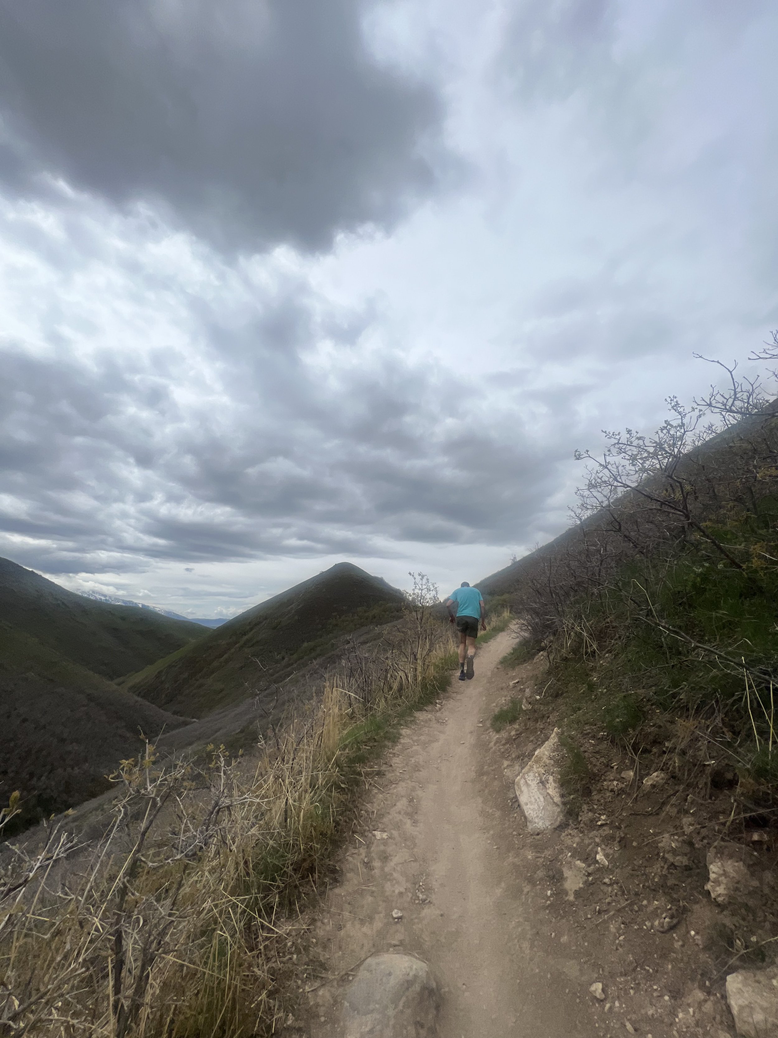
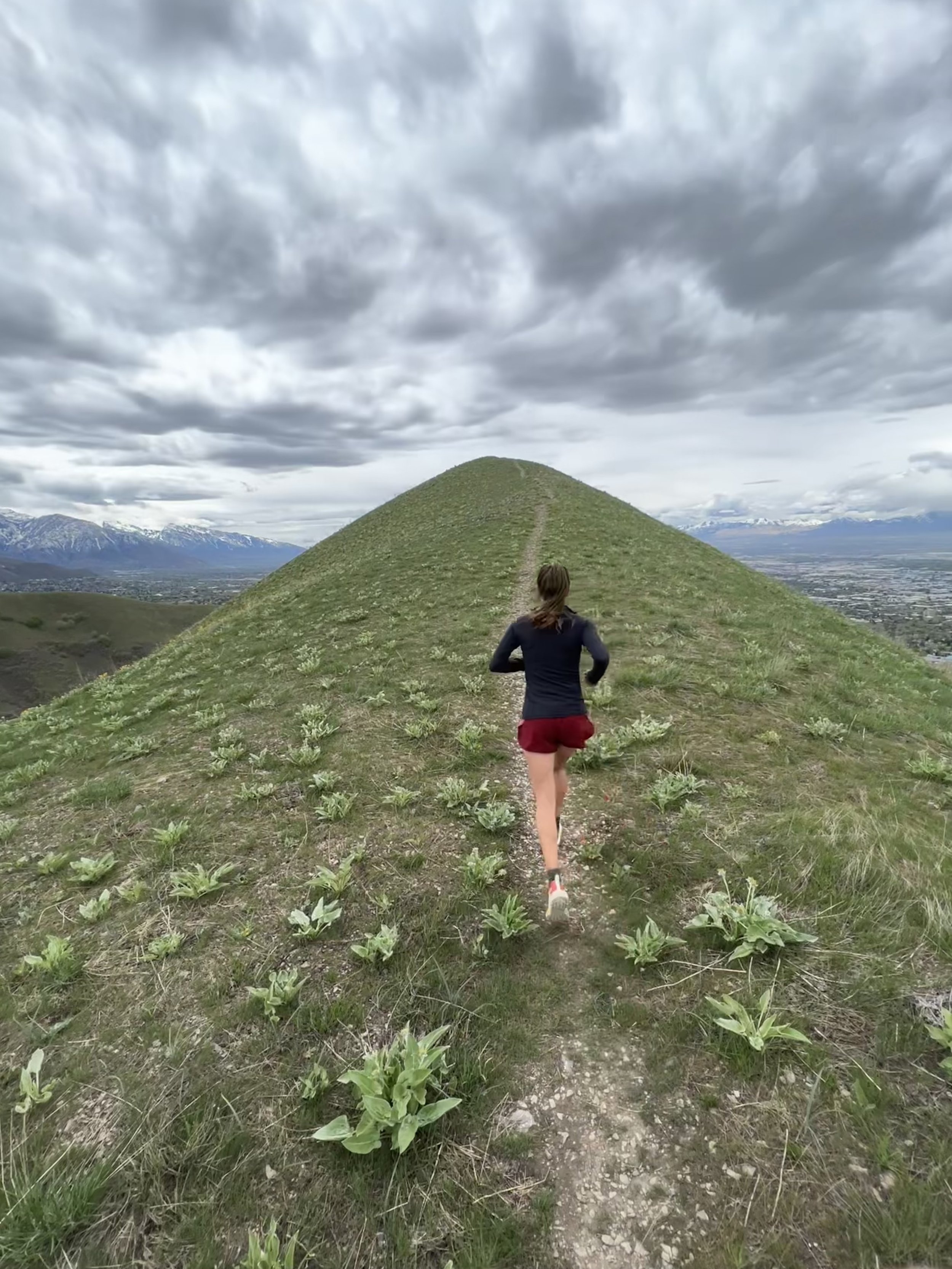
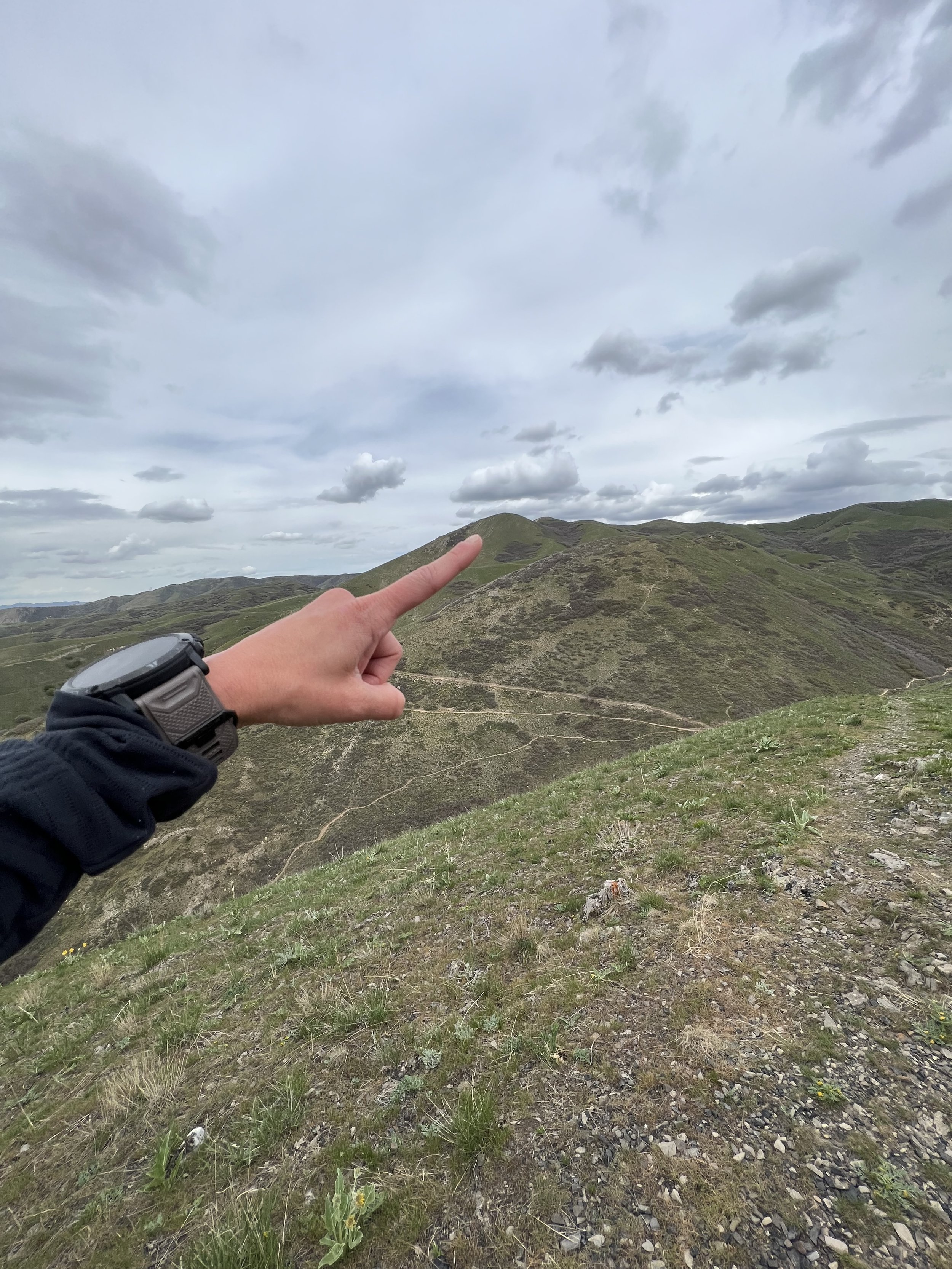
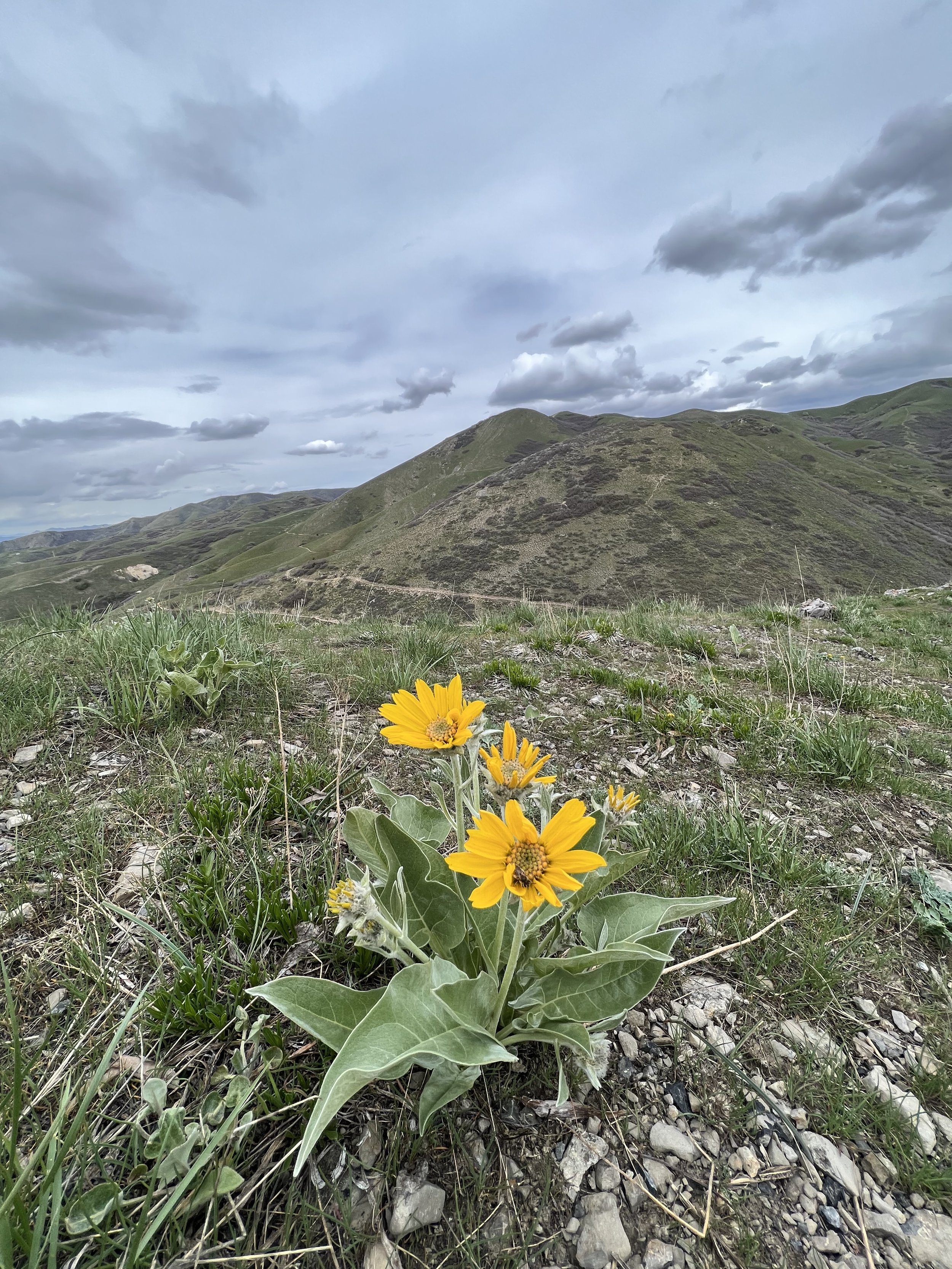
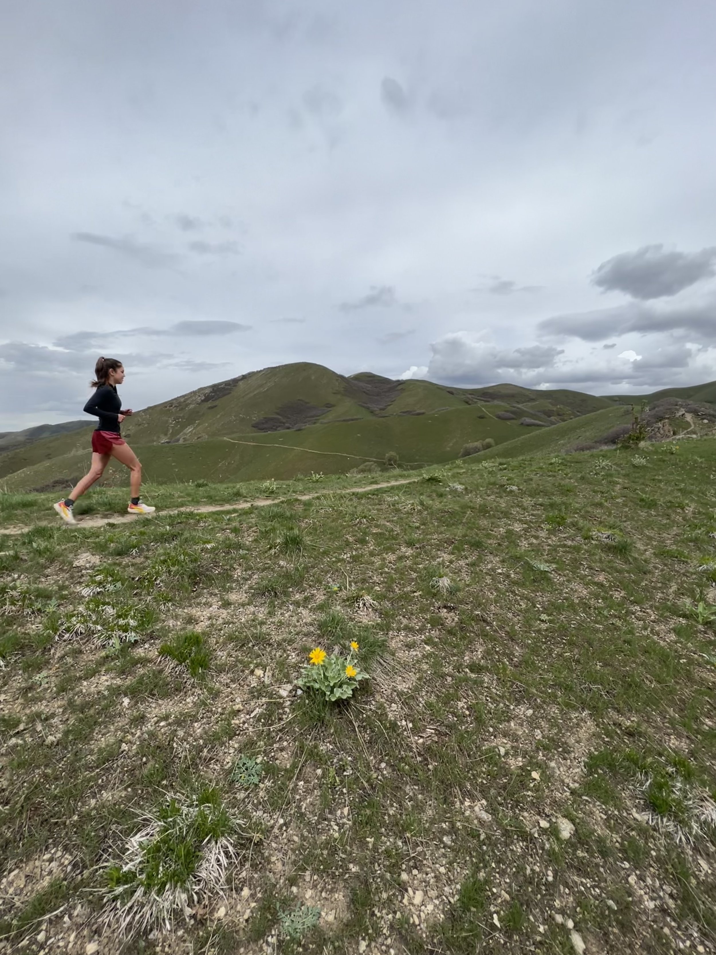
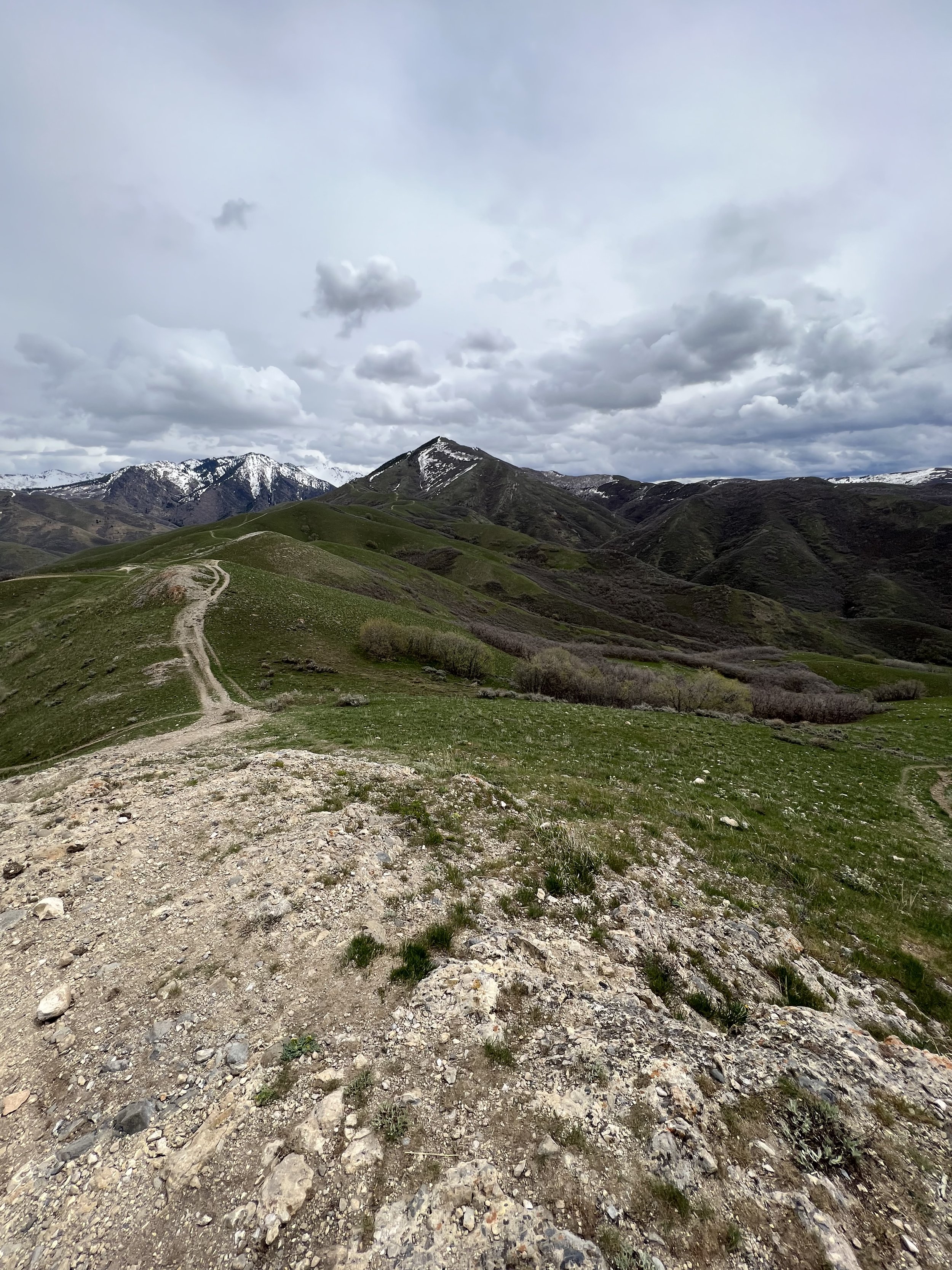
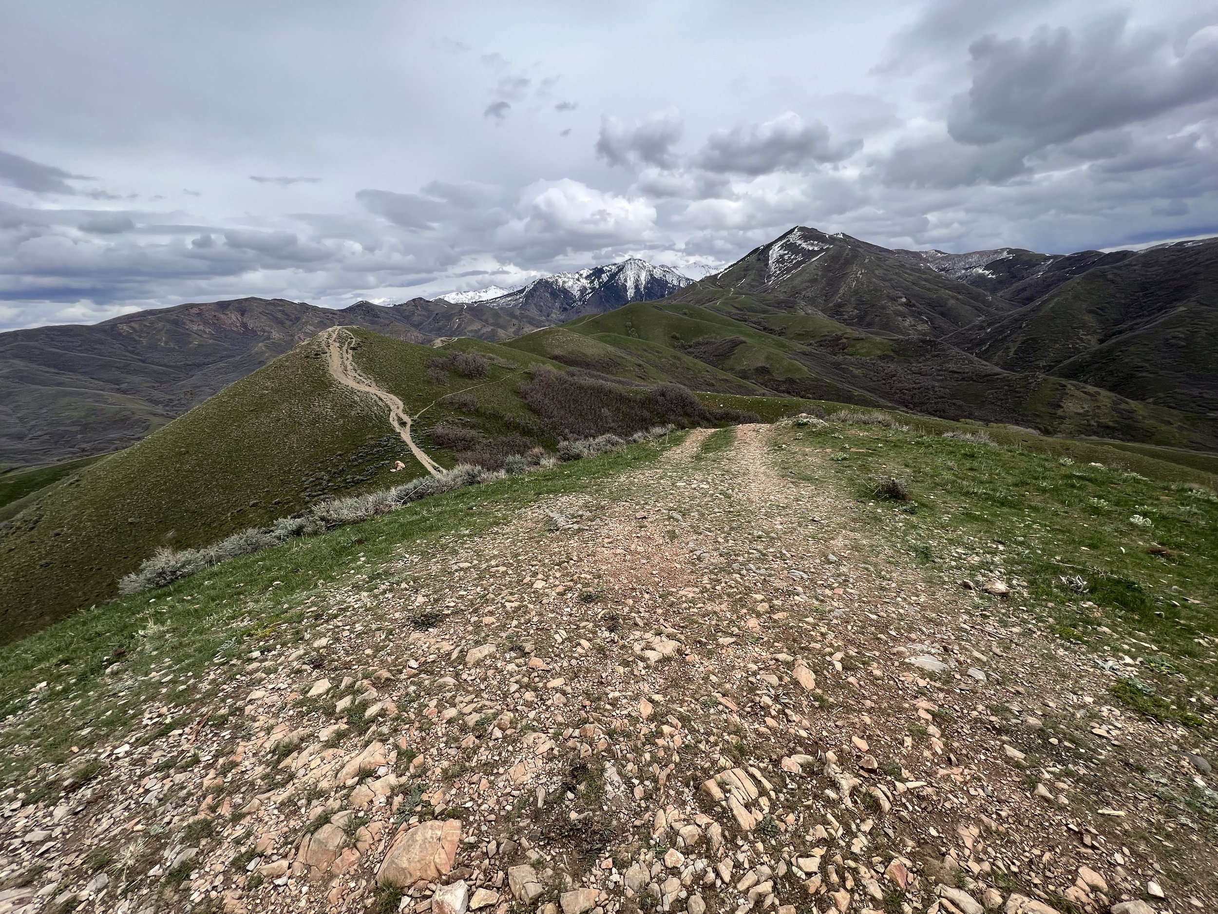
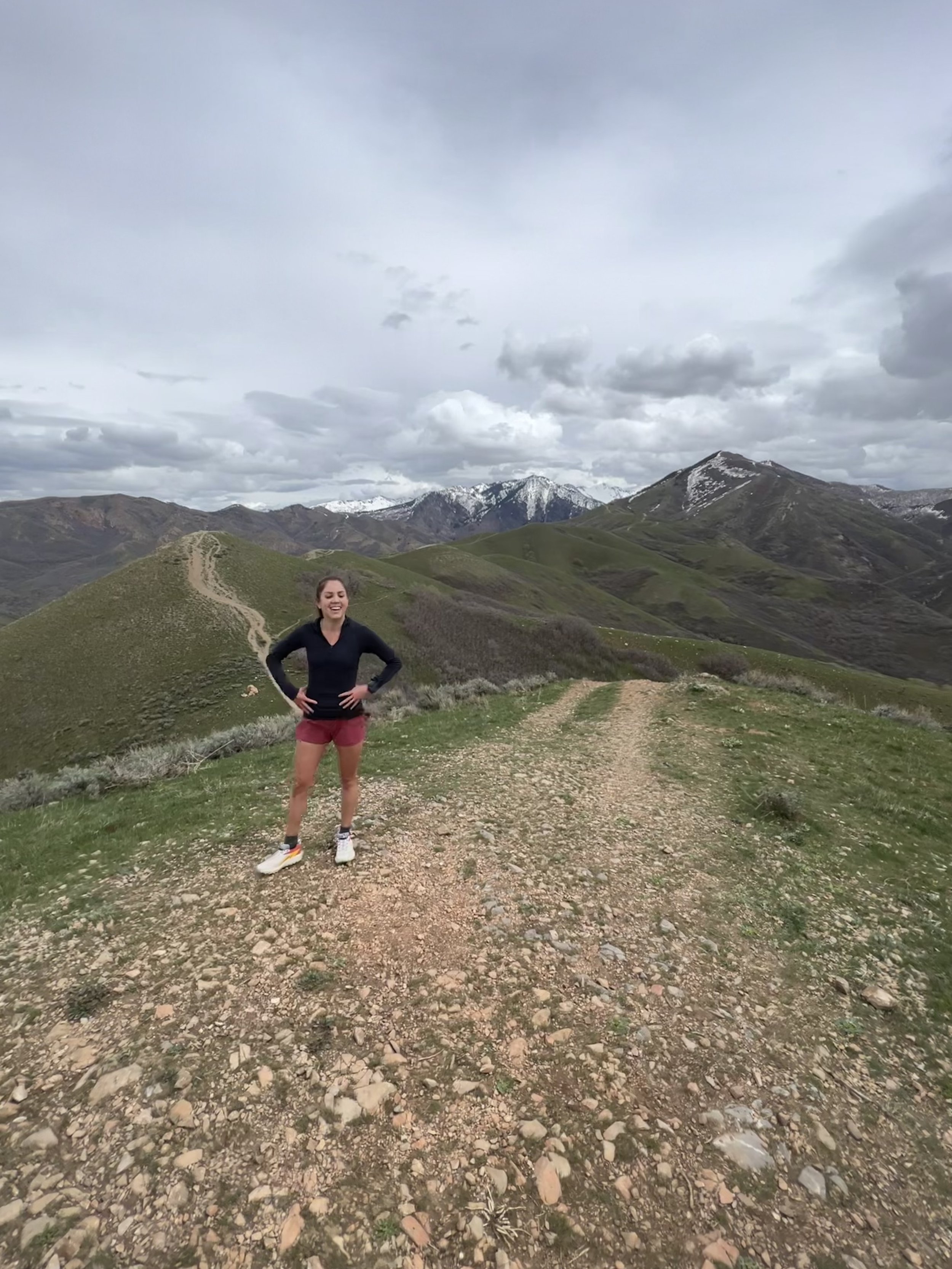
Summit 20 & 21 - Red Butte and Mount Wire - April 27, 2023
Started by heading south on the BST to the Red Butte ridge. Gained the direct ridge to the “Living Room,” then joined the gully trail to the summit of Red Butte. Gully trail was very muddy and still had a bit of snow, same goes for the ridge. Continued along the ridge southeast to Mount Wire. Sent the tower and stood atop the final perch. Descended the direct trail off Wire to the BST and looped north to finish.
Images below: Ascending the lower ridge to the “Living Room,” Looking out over SLC, me, just below the summit of Red Butte, condies, summit of Mount Wire, Mount Wire Tower, Sending to the “true summit”
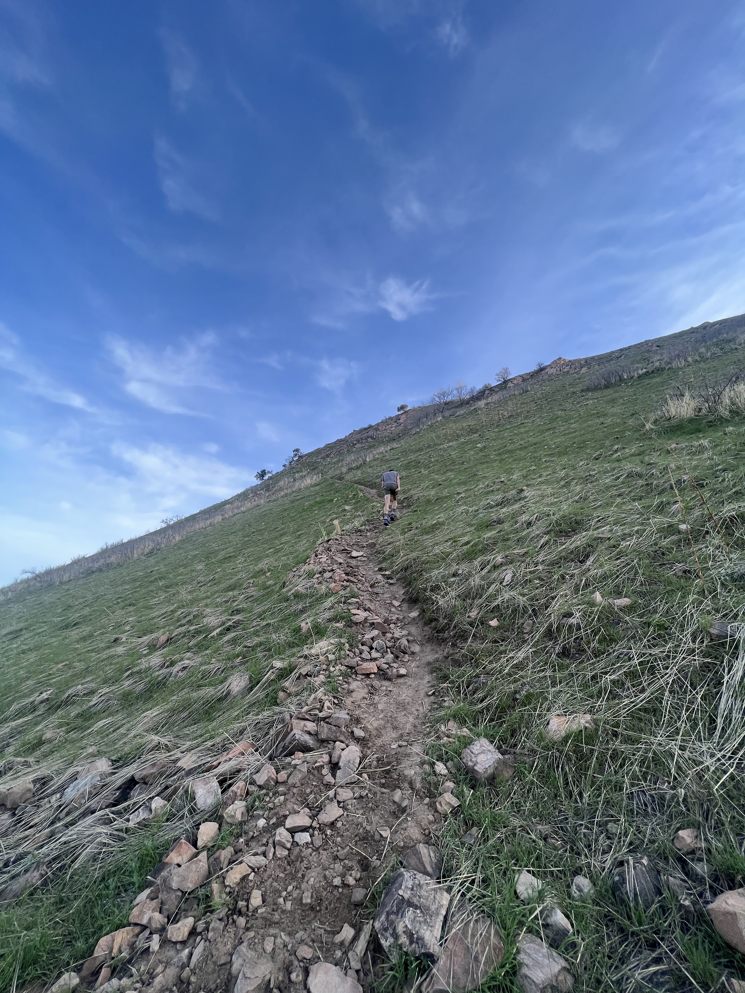
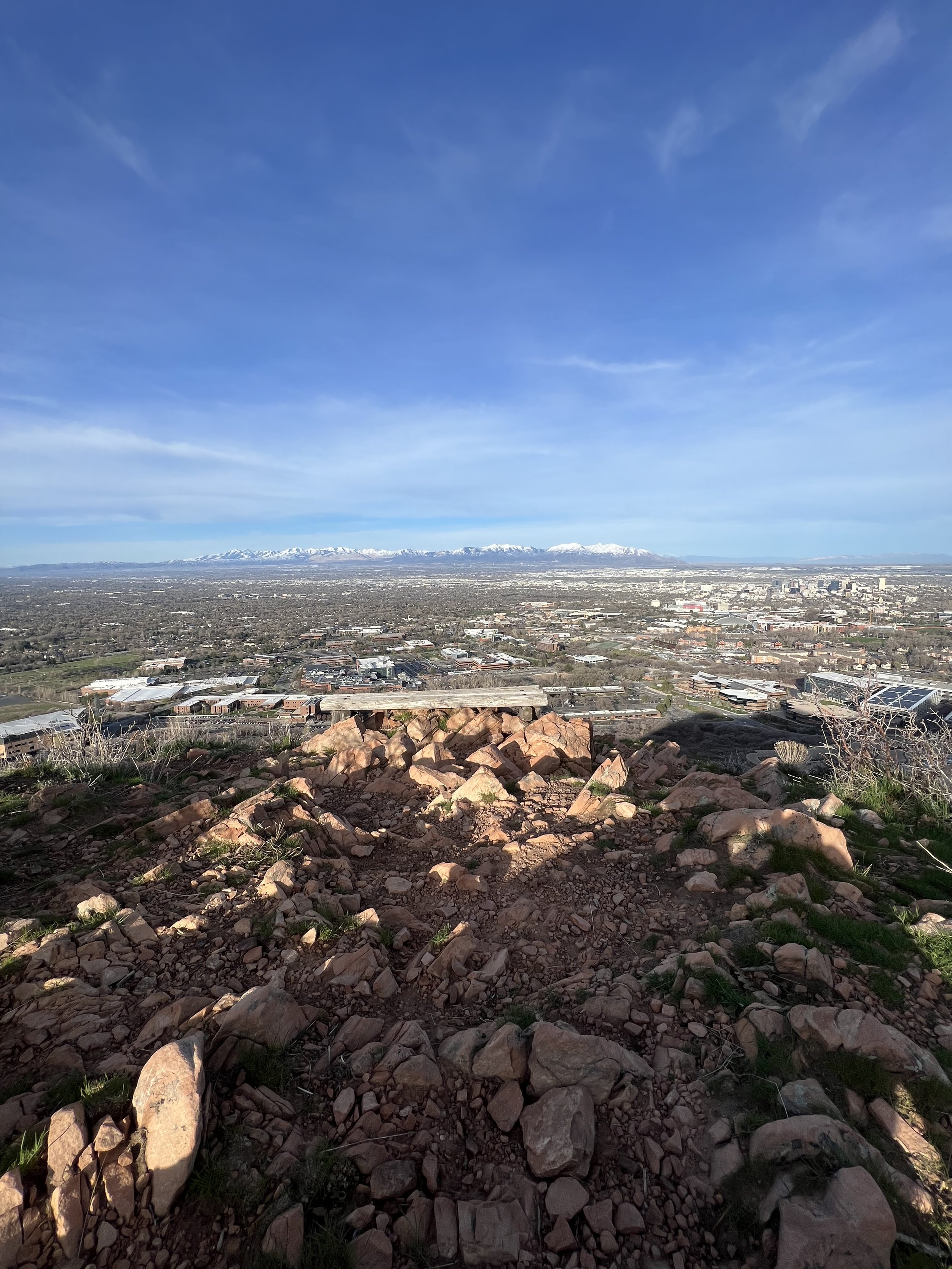
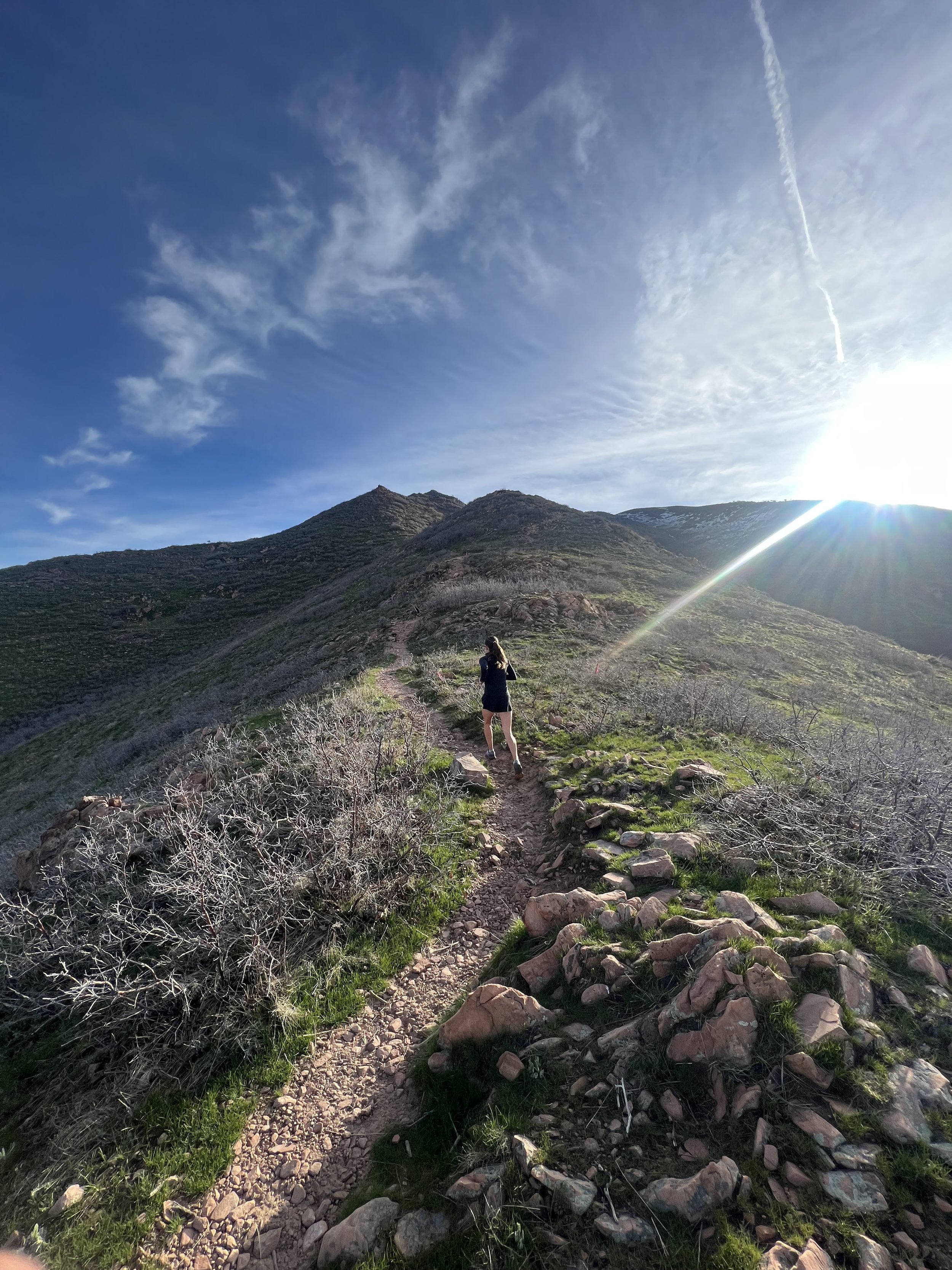
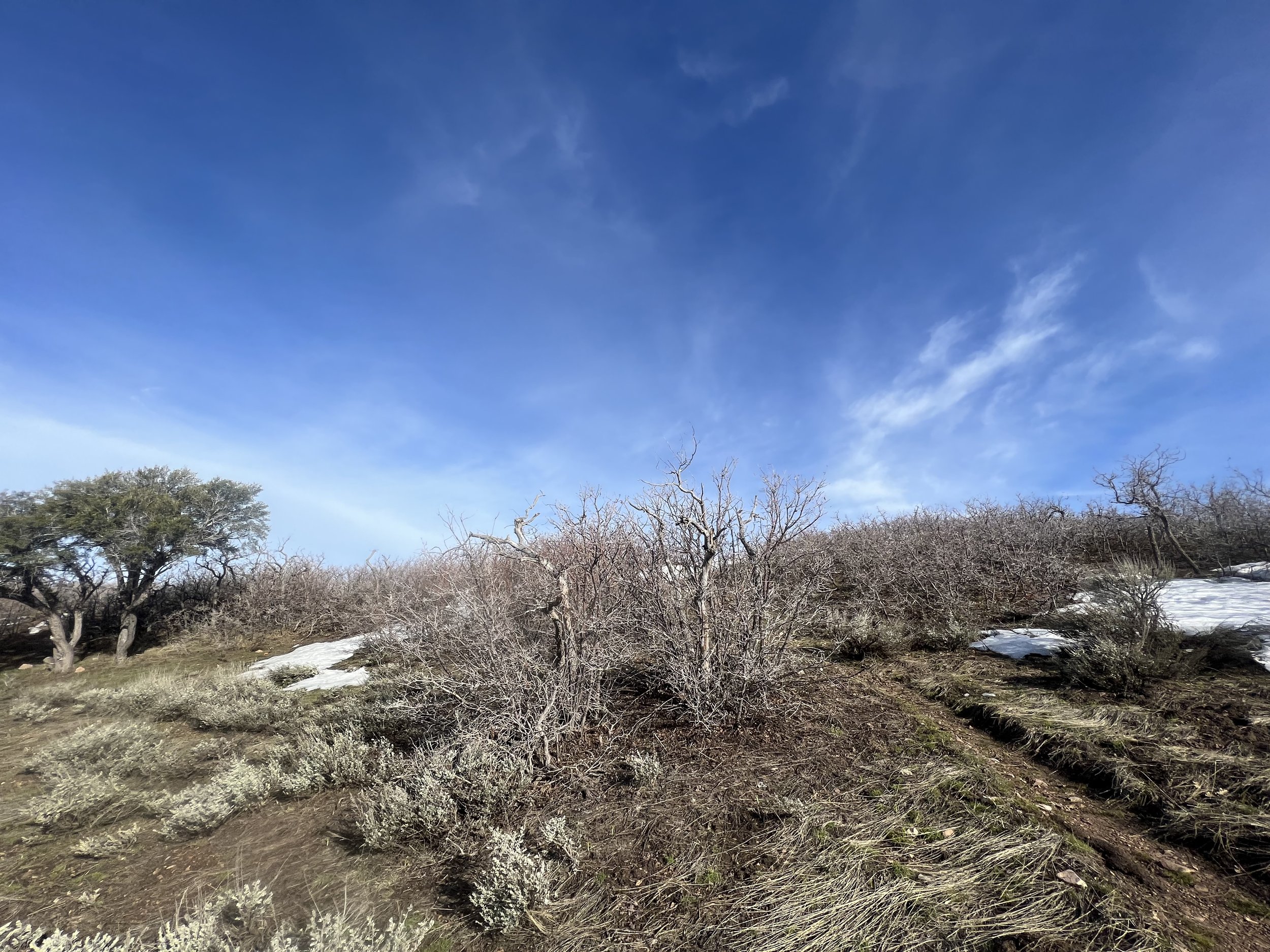
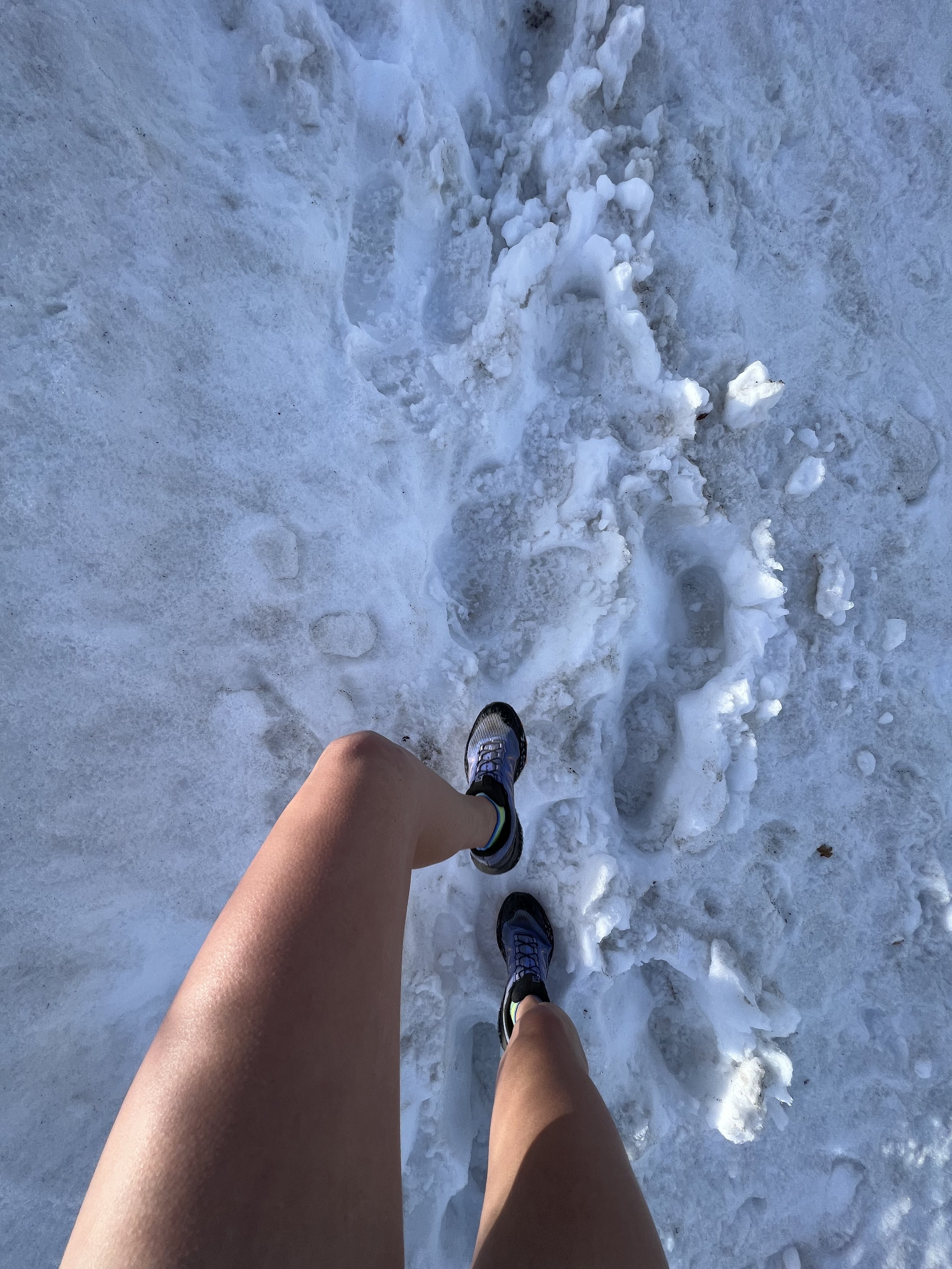
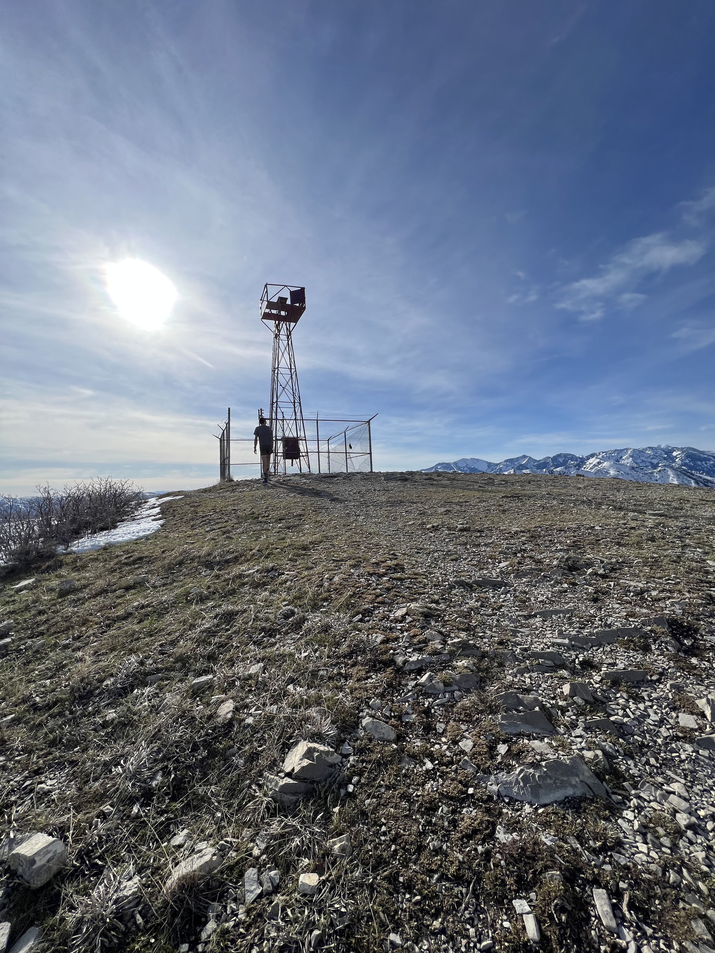
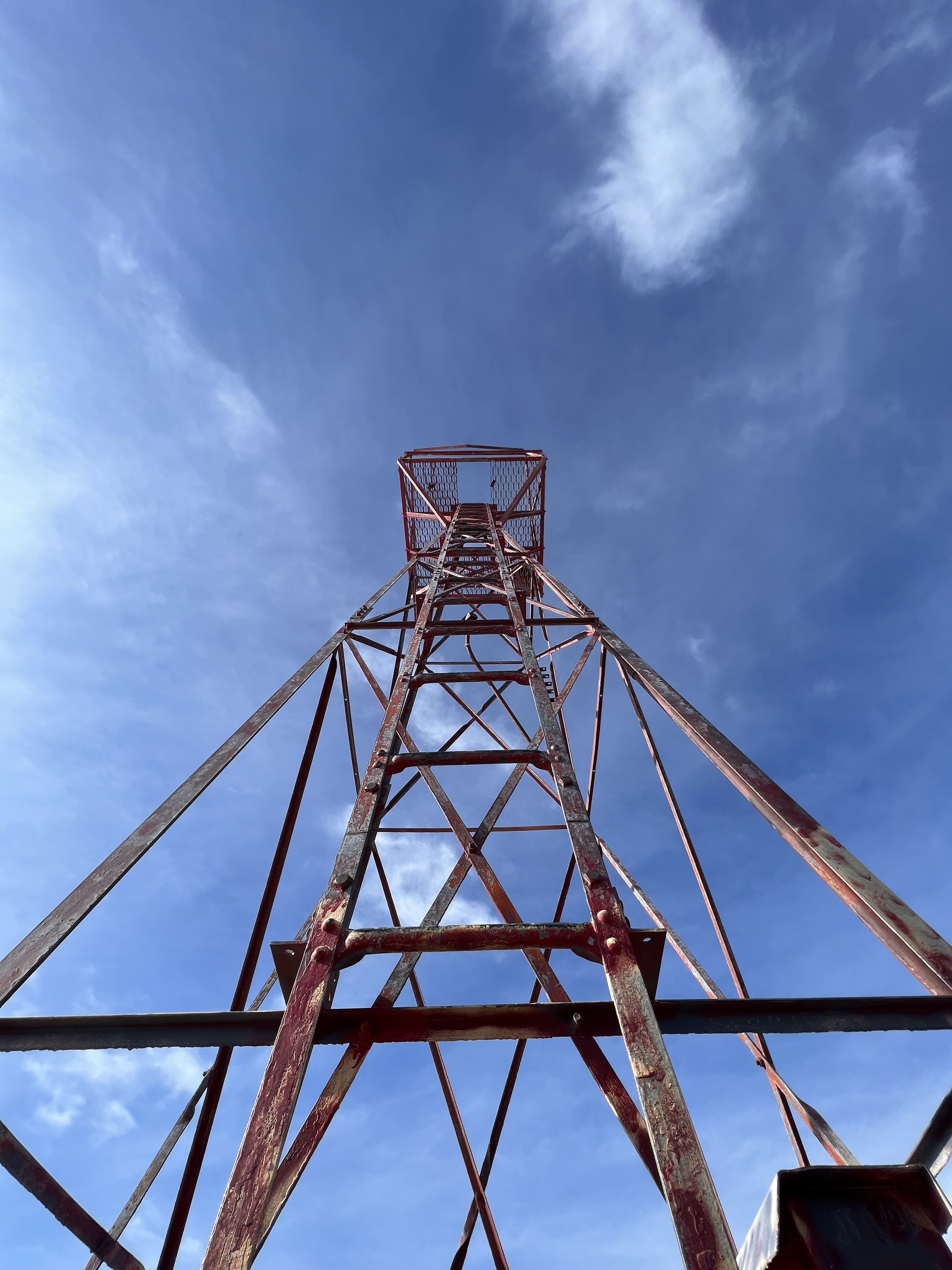
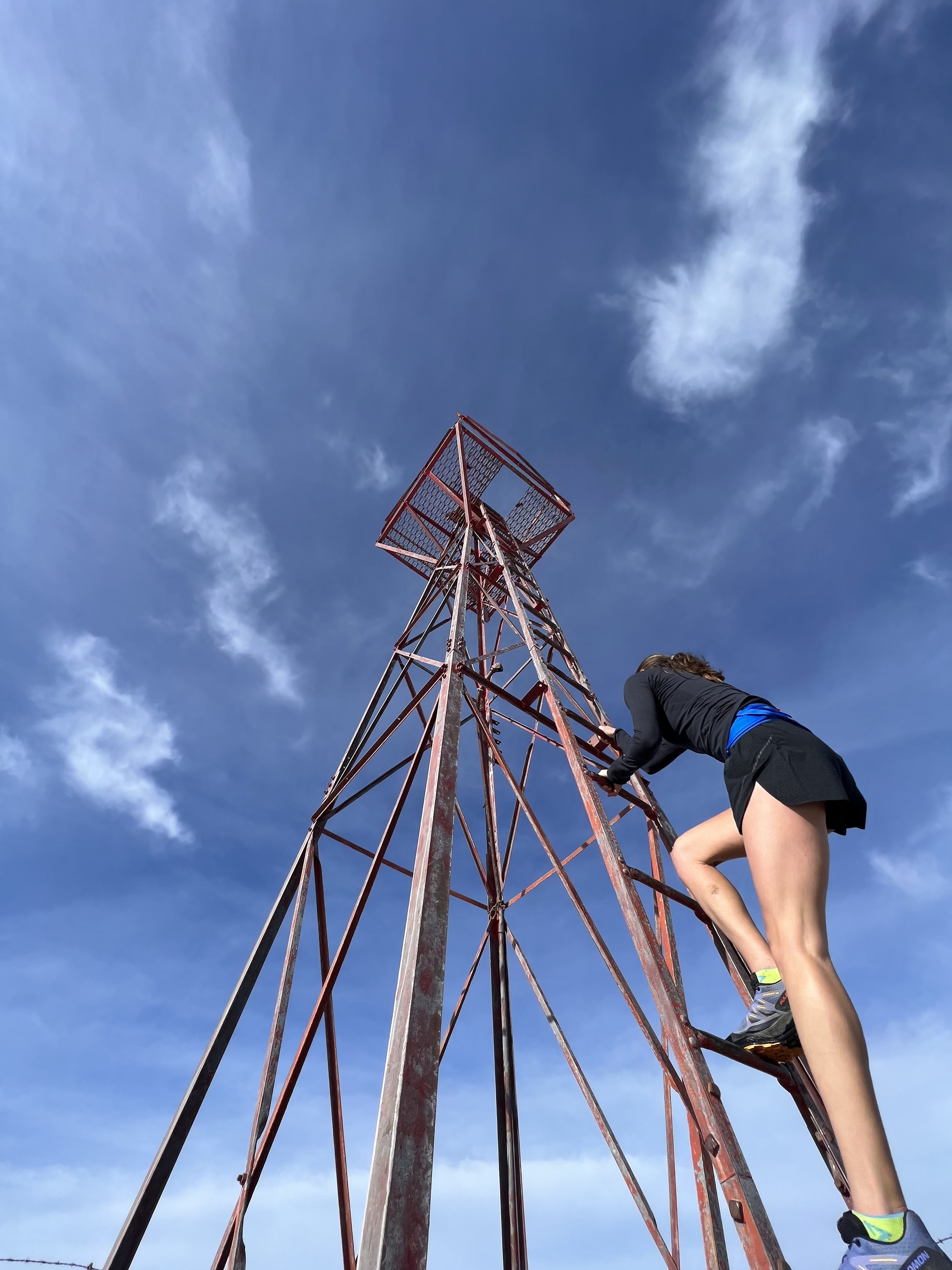
Summit 18 & 19 - Pencil Point and Jack’s Peak - April 14, 2023
Started by heading south on the BST to Pencil Point. Gained the direct ridge to the summit, descended the more obvious trail along the southern aspect. Bopped back toward the way I came stopping at Parleys Point for extra credit. Linked Jack’s via a jog along the road. Took the direct route to the Towers, descended the mini hill, and then up to the summit of Jack’s. Was treated with a little break in the clouds, an Elk on the hillside below, and some feels—today marks 8 weeks post ankle surgery.
Images below: Looking toward Pencil Point on BST, Summit of Pencil Point looking East, Me atop Pencil Point taking note of Jack’s, Parley's Point, The towers hill Halfway-ish to Jack’s Peak, The rocky summit of Jack’s Peak, Looking southwest to Pencil Point from Jack’s, me.
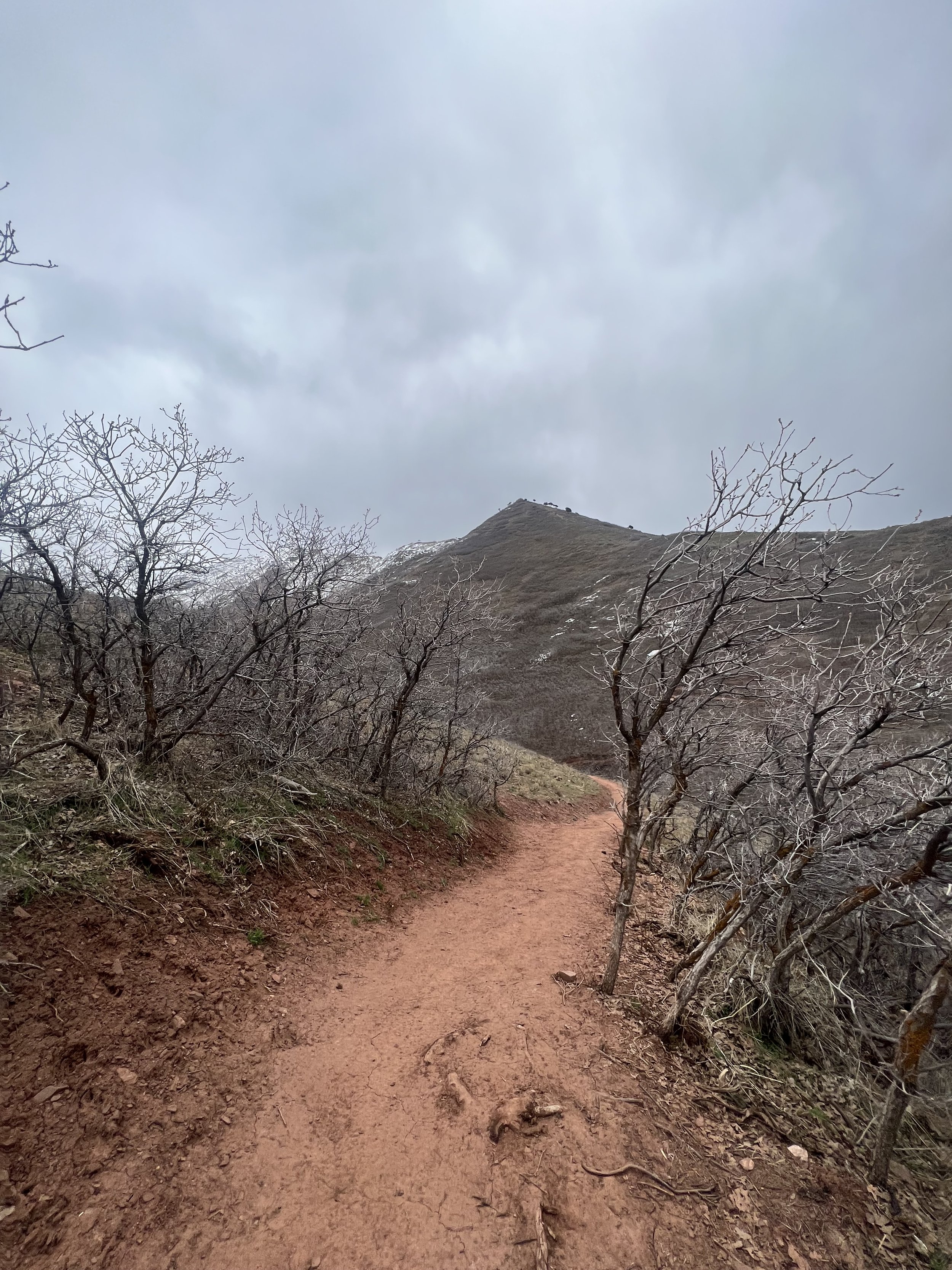
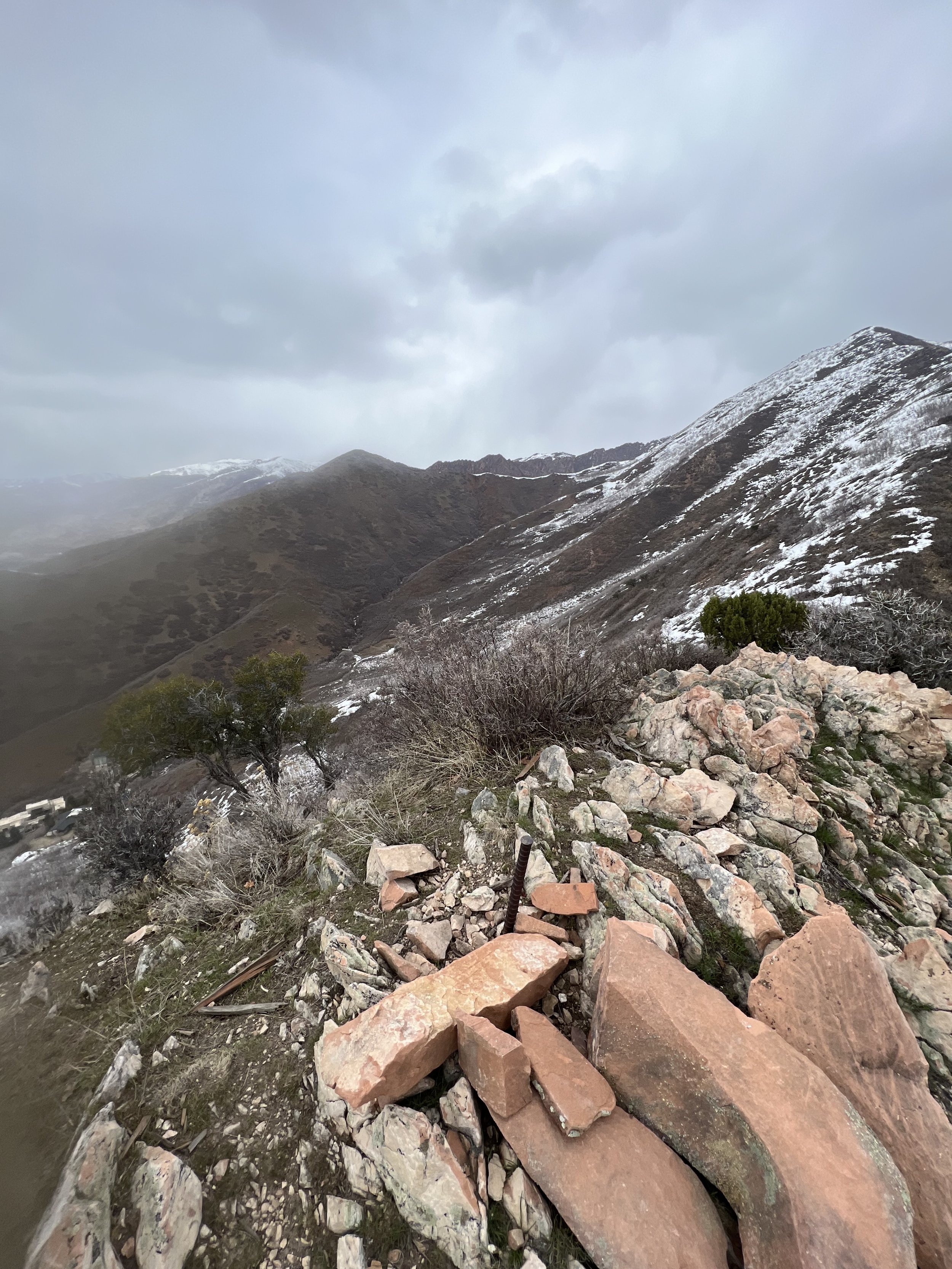
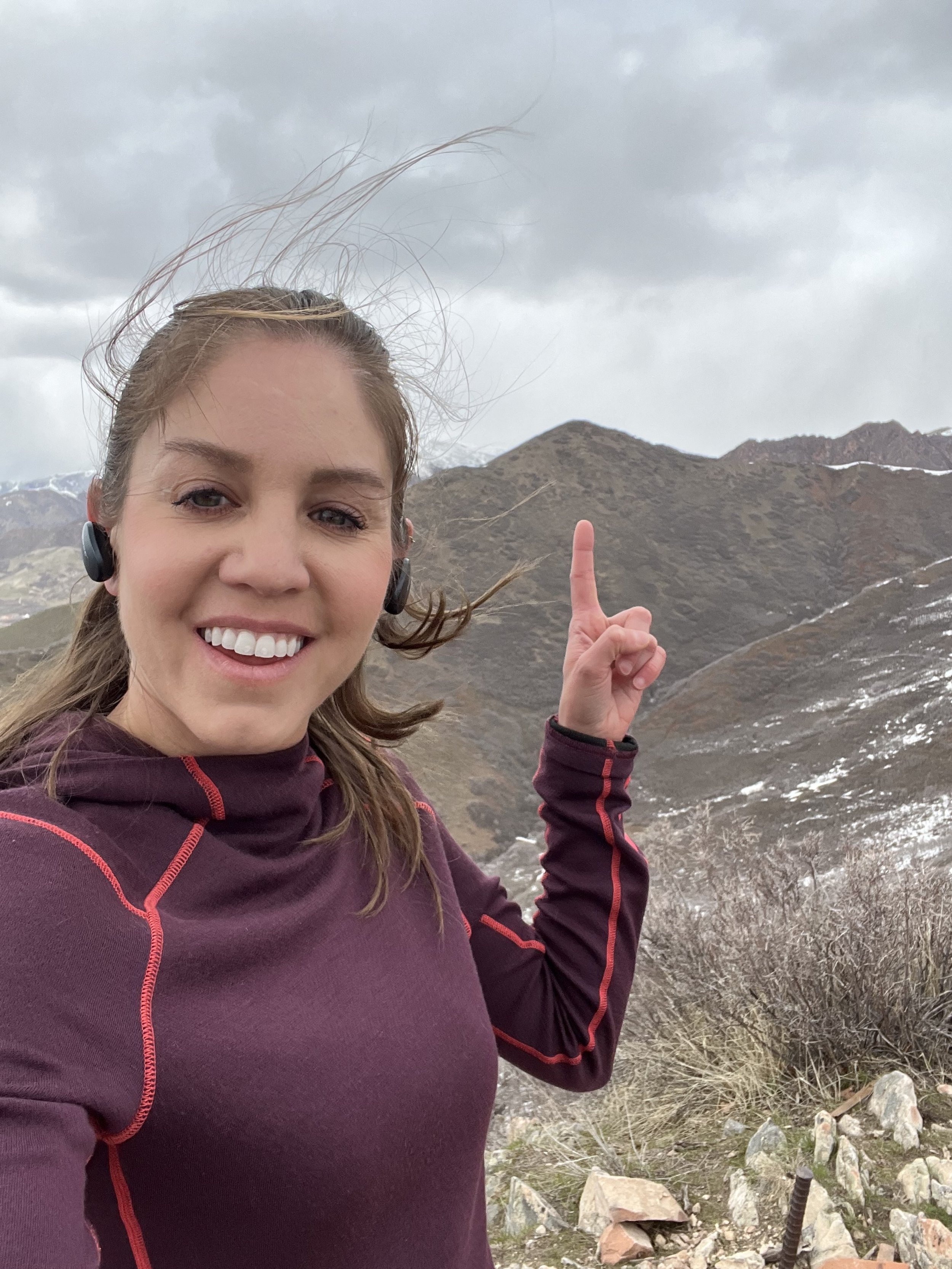
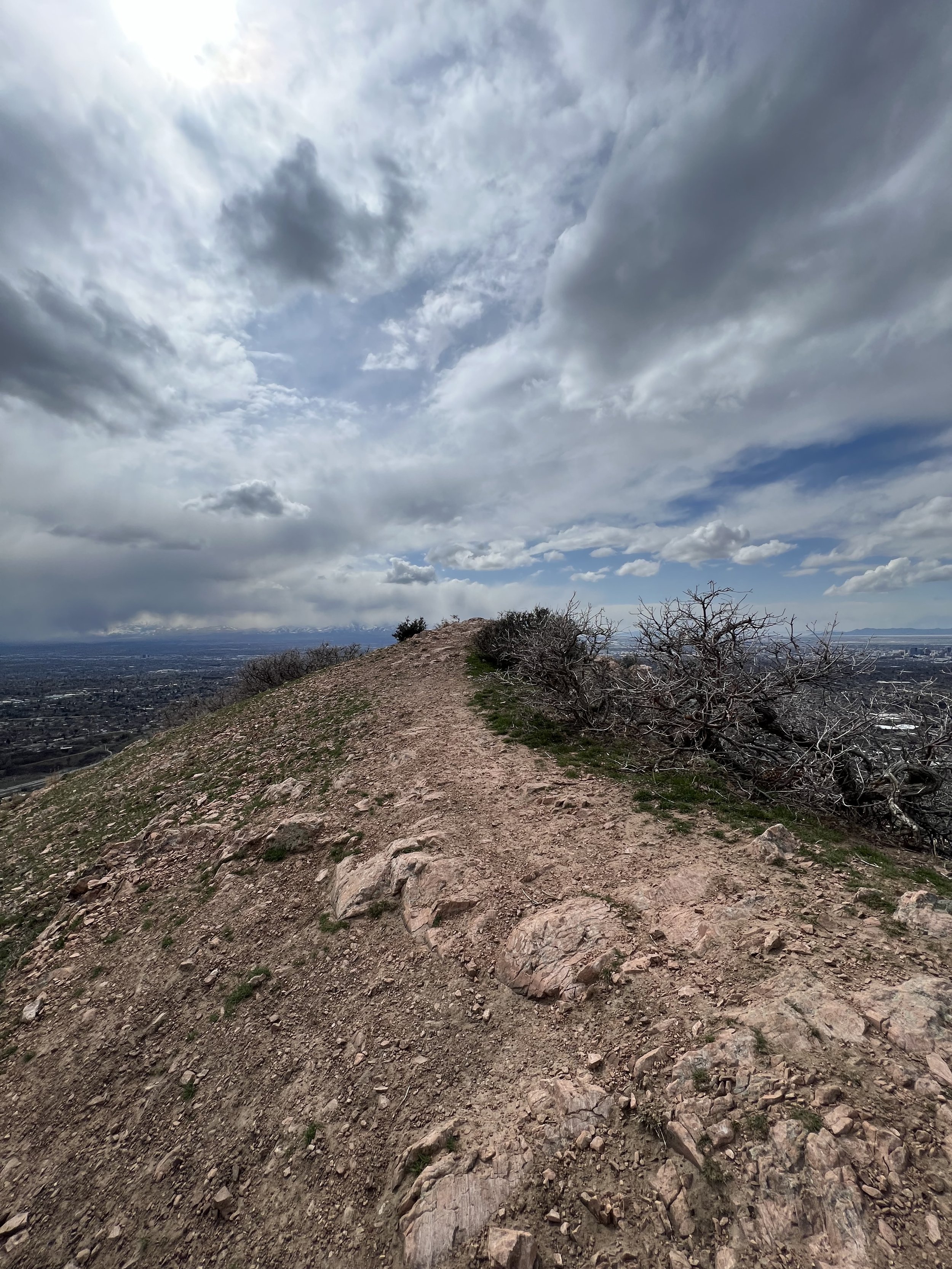
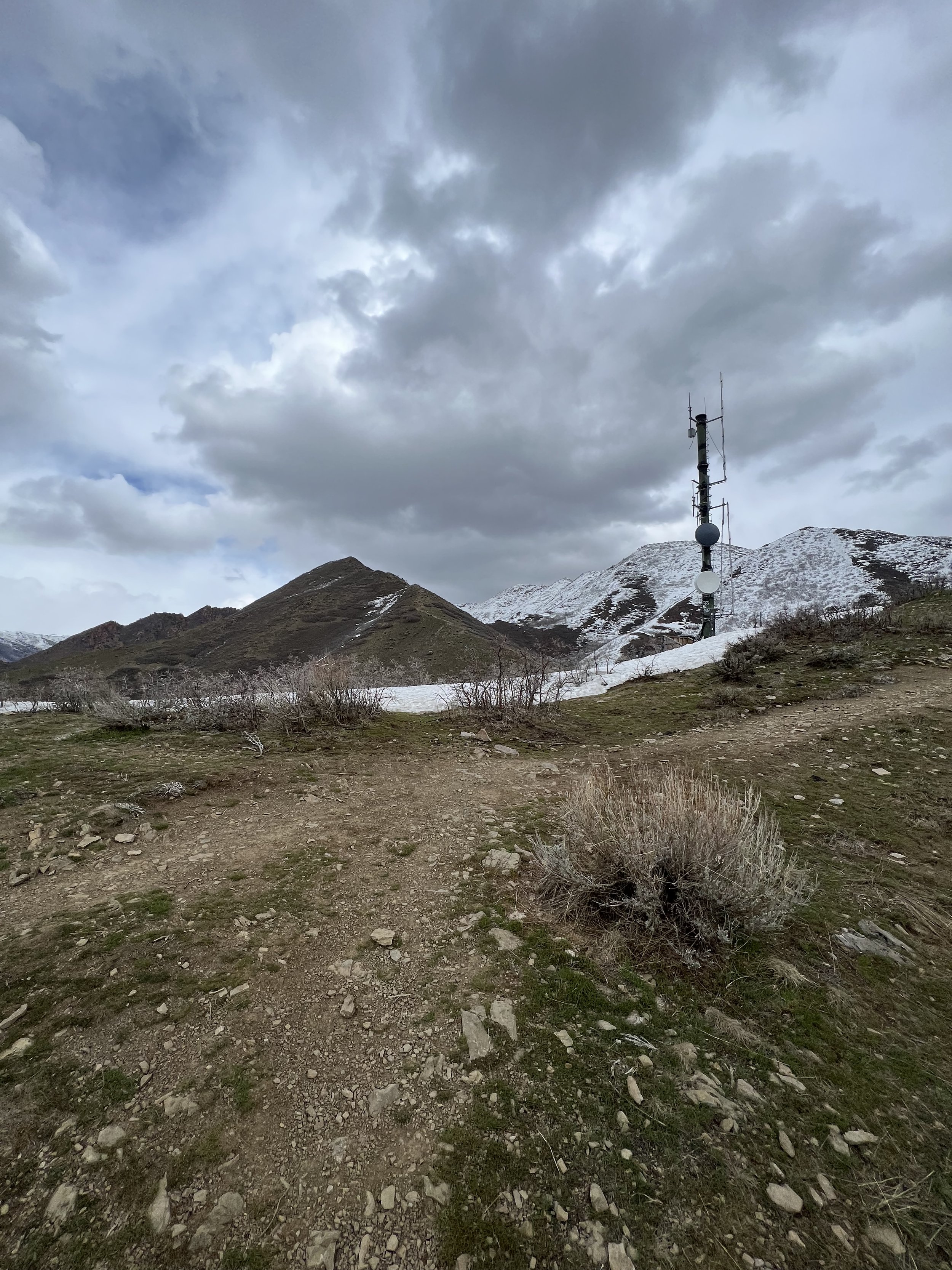
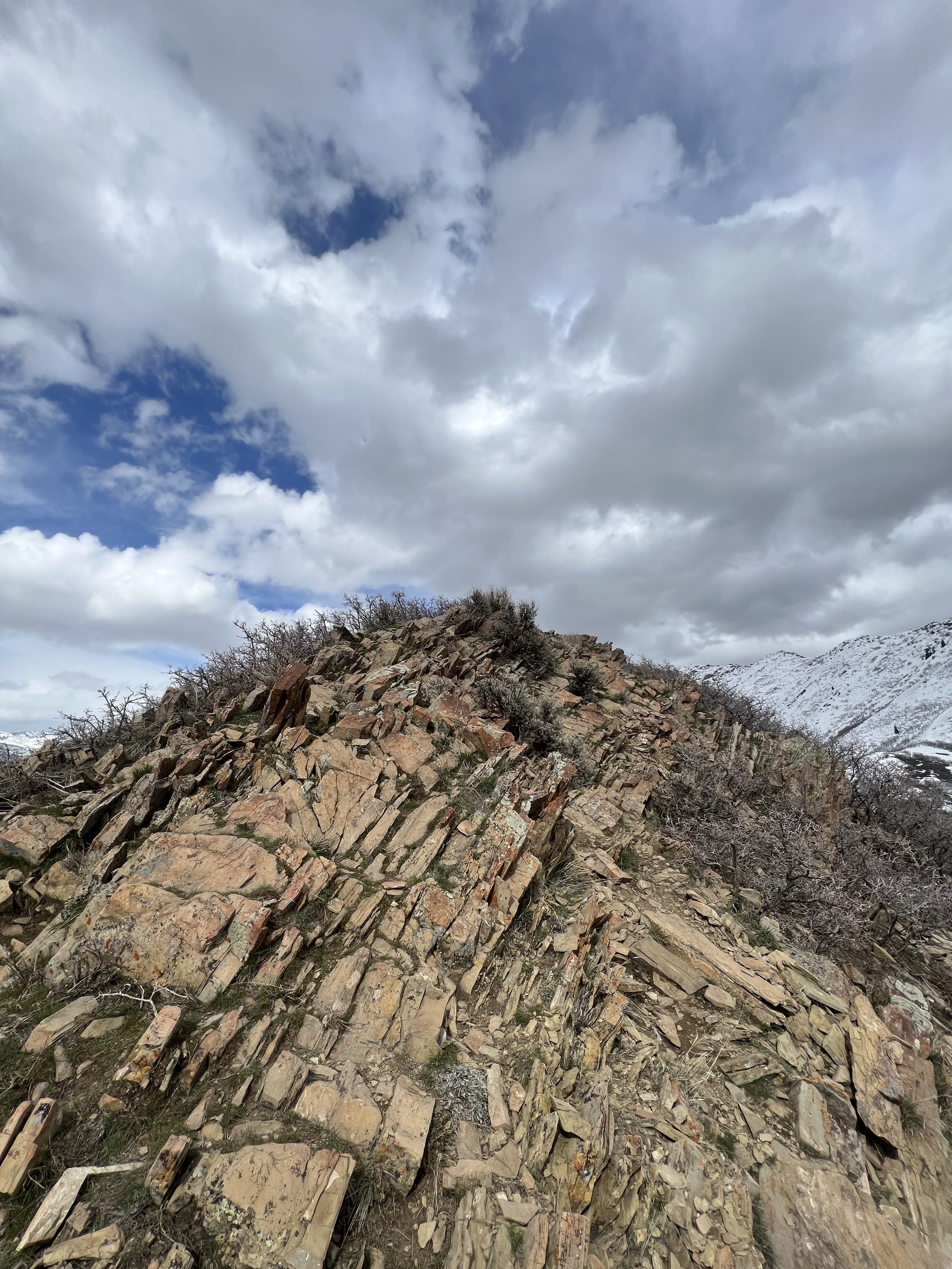
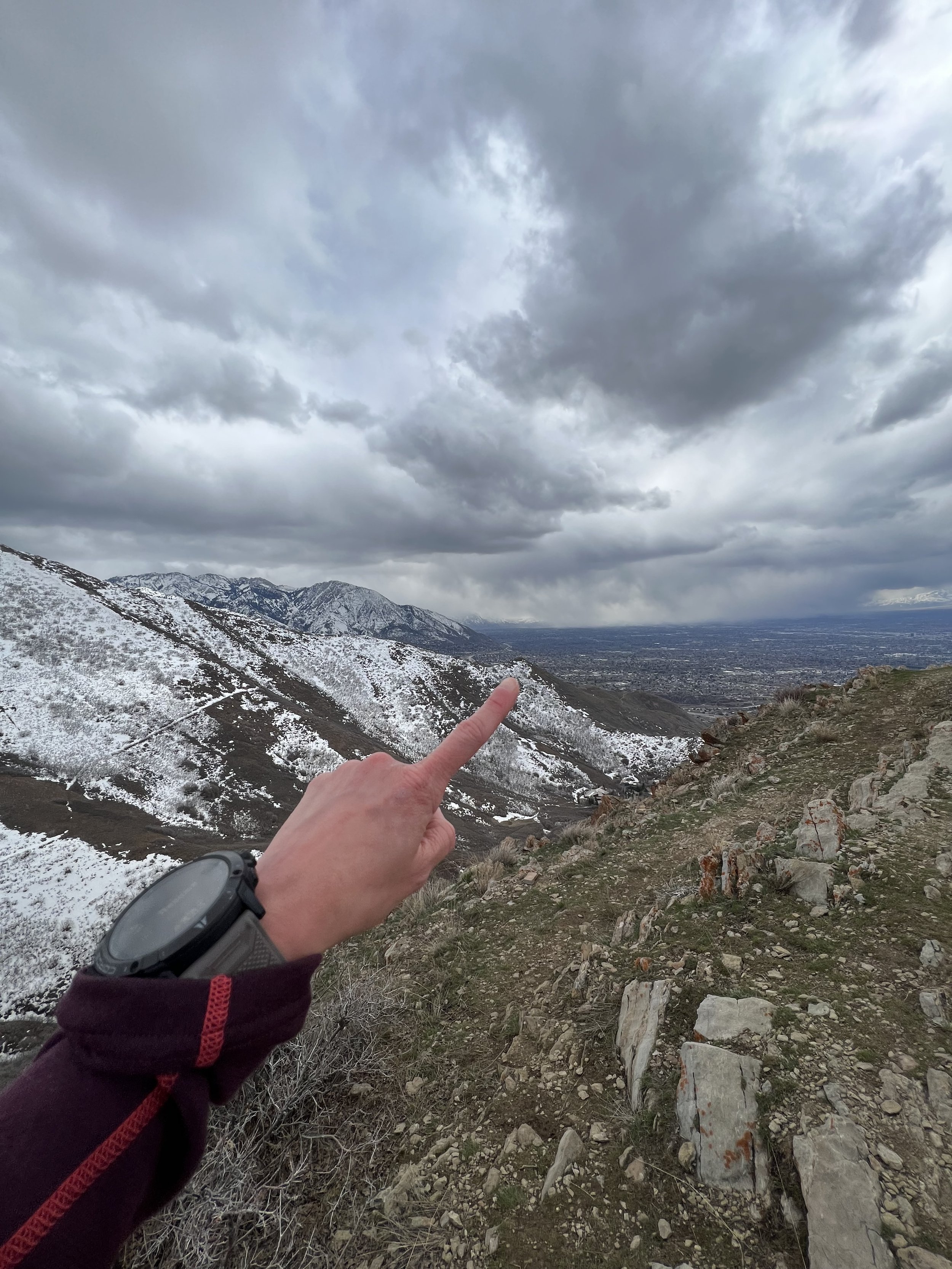
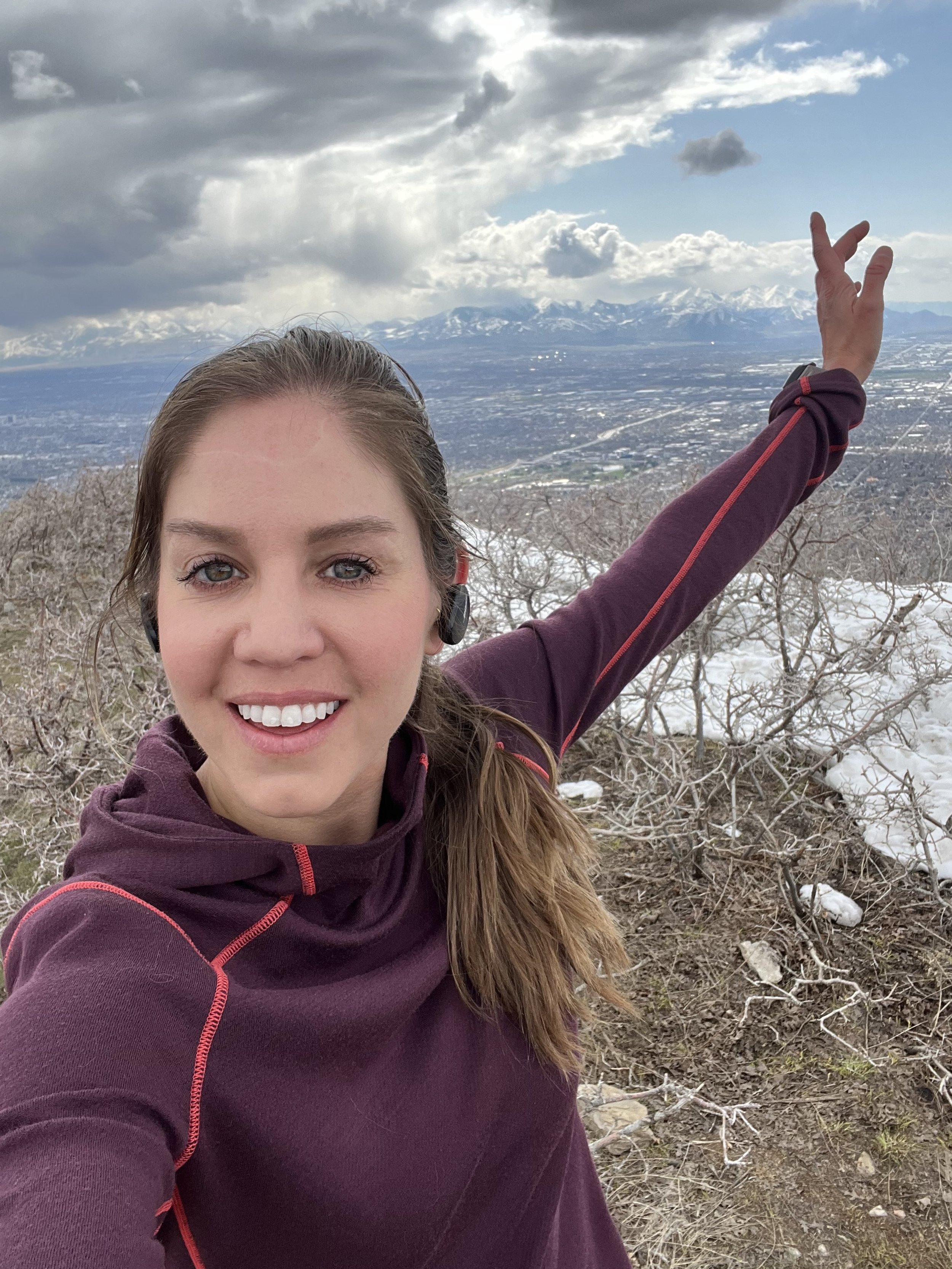
Summit 17 - Ensign Peak - April 12, 2023
First real trail run since before I broke my ankle! Met up with Kevin at City Creek and we started the run by following the trail that parallels the road to the north. We took the climb to the saddle with some serious headwinds near the top. We kept the pace light since the trail was extremely rutted out and my only objective was to not hurt my fragile ankle, again. Once along the saddle, we traversed southwest descending to where the trail connects to Ensign. Took the short summit trail all the way to the top. Got blasted with some wind. Then jogged easy down the Ensign trail, looping back around to City Creek via the neighborhood and lower trails. A blissful, perfect return to trail running. Thanks Kevin for your support and sharing this happy moment with me.
Images below: Looking toward the saddle on the climb out of City Creek, Looking southeast toward Ensign Peak along the ridge, the Summit Structure on Ensign Peak.
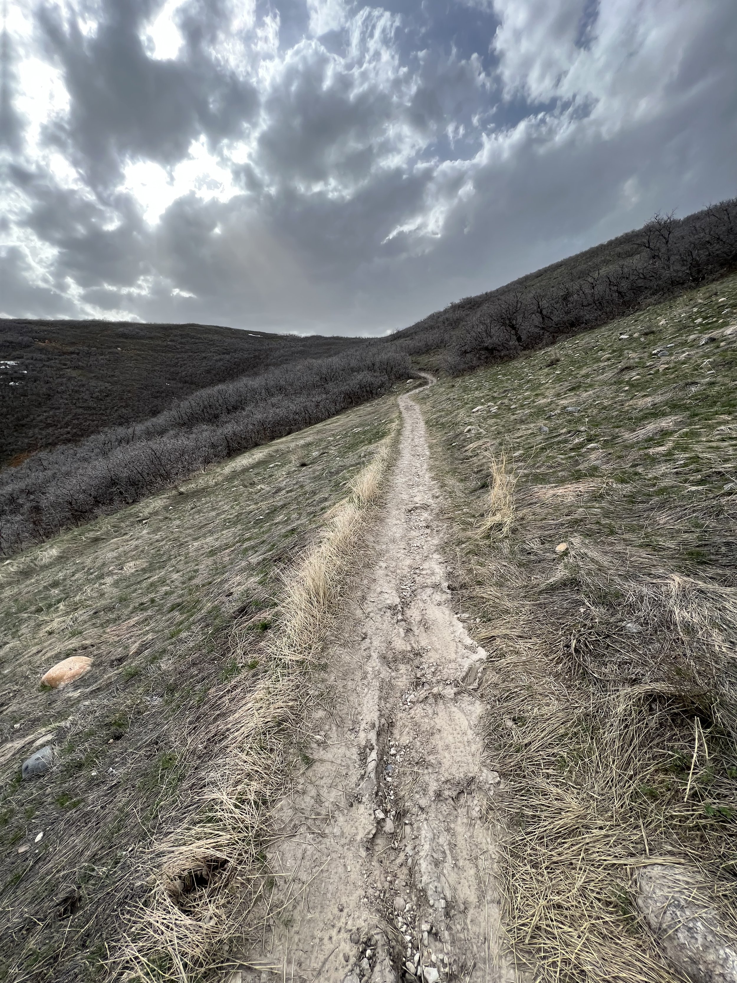
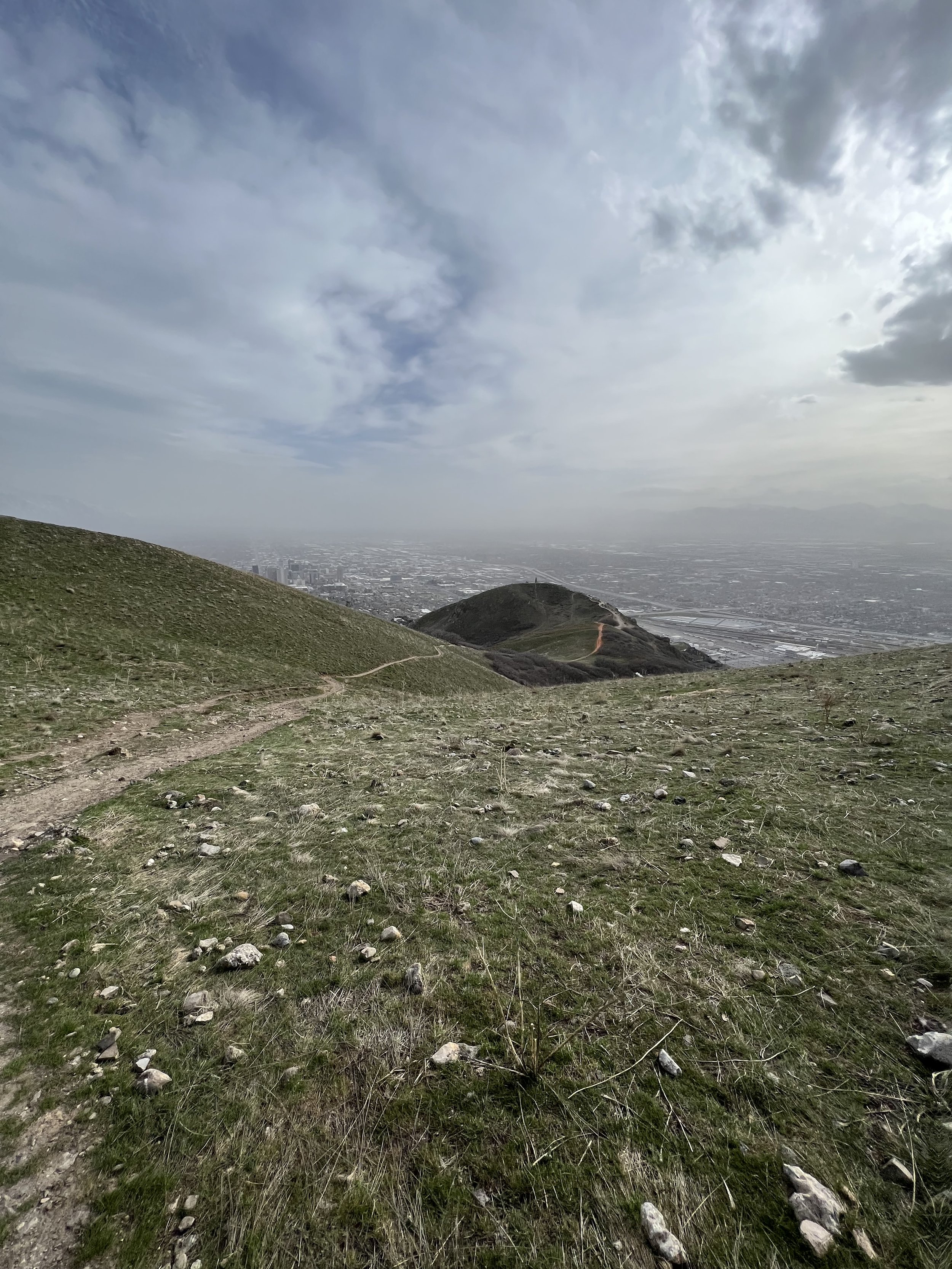
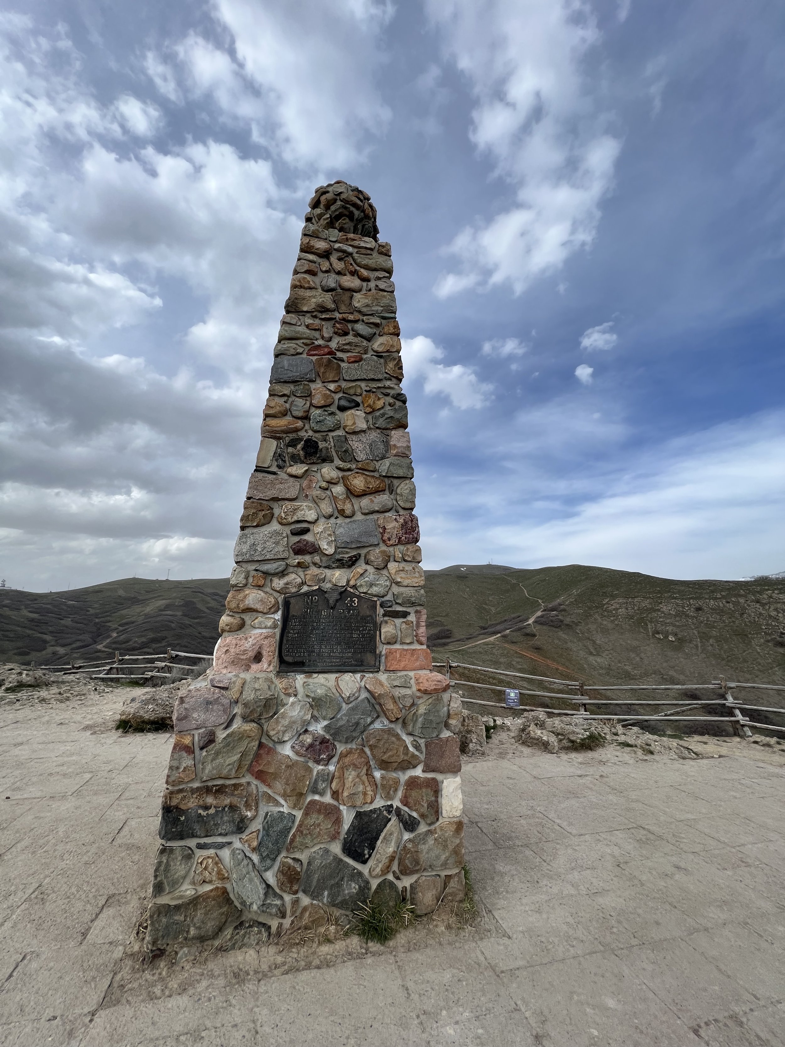
Intermission - I broke my ankle - January 30-April 11, 2023
Sometimes you find your limits.
I skied the Hallway first in our group, then waited for my partners who skied by me and continued through the Tube. Eager to catch up, I made a turn, then hit a chunk of ice, got bucked off balance and dug my right ski tip into some chop. I made a hasty decision to continue into the next turn, but my ski didn’t lift, and it didn’t release (no, I was not locked in). My body made the turn, but I twisted my ankle 180 degrees, felt some popping, fell to the ground, pulled my leg around with my ski STILL ON, assessed that this was unusual, stood up to ski, then promptly passed out. I came to maybe a minute later(?) with no one around, realized that this was potentially not ideal, so I checked my phone—no service, and my partners were well below me and out of view. I decided there wasn’t any other option than trying to ski down, but my right leg was literally jell-o. It wouldn’t complete a turn, and when I fell over, I could feel some very sharp pain. I started to panic a little, and resolved to get to the trees on skiers left at the top of the Tube to at least get out of the most dangerous slide path, then assess further. I sat down in the snow, slowed my breathing, again looked for any sign of my partners or listen for their voices—nothing. This is when I understood it was bad, and not just less than ideal. But alas, if you’re strong enough to get into these places, you best be strong enough to get yourself out. So I stood up and started to slide downward on just my left ski, which proved to be difficult in deep snow. I went as far as I could, cutting across side of the run, then sat down, lifted my skis around and tried my right side, it hurt like a bitch, but I could handle a few feet. I repeated this for maybe 80-100 yards before I finally saw my partners below. They seemed confused what was taking me so long, but the adrenaline was exhausting, so I just yelled for Keenan and sat in the snow by treeline. I think Keenan understood something was wrong, because he was quickly out of view again and next to me before I knew it. He looked me over, I wasn’t really crying, just apologizing profusely for ruining the day and he assumed it might only be a bad sprain. We devised a plan to exit out of Cardiff Fork to Big Cottonwood because I couldn’t fathom skiing back up and over the ridge. Jens, our third partner would though, and reach Little Cottonwood to call Rachel who would come pick us up at the Cardiff Fork lot.
The next 45 minutes were absolute hell. Keenan tried to carry me on his back while skiing down the rest of the Tube. That worked for about 30 yards until we fell and the pain was sheer agony. I decided I’d have to ski if I wanted to get out… I plugged my left ski into the track and let my right/broken ski float on top of the softer snow to the side acting as a slight brake and not requiring any weight. I side stepped up the small hills dispersed along the upper track until we reached the steeper part of the skinner, somewhere just below Kessler Peak. We took a quick break, and I rigged my poles to my backpack waste belt using my wrist straps. Keenan would then ski behind me holding the poles and acting as my brakes. We skied the next 2 or so miles down the Cardiff Fork skinner like that while I steered on one leg, and he braked behind me. Once we reached the Donut Falls out-house, I unhooked the poles and skied the remainder of the road out with pretty much no ability to brake. It was way less terrifying at this point, probably because the adrenaline and one legged skiing had absolutely wrecked me.
Rachel arrived shortly after, and drove us around to retrieve the car because she’s a SAINT.
I then went on to wait 1.5 weeks to get an X-ray, mostly because I was in denial that it was worse than a bad sprain. I rested for a few days, jumped on the bike at the gym, tried climbing which did not feel good at all, and when I finally did get the X-ray, I was a little shocked. Very clear Oblique fracture of the Fibula with malalignment—surgery came strongly recommended.
A few days later I was in the OR, then recovering in bed for a few days. The road ahead is long and tedious, but I’ve been progressing from walking, to biking, to physical therapy, to light running, and finally back to trail running and skiing (resort only).
Images below: The gnarliest bruises I’ve ever had, X-ray with a very obvious oblique fracture of the right Fibula, Getting stitches out after surgery, My new hardware.
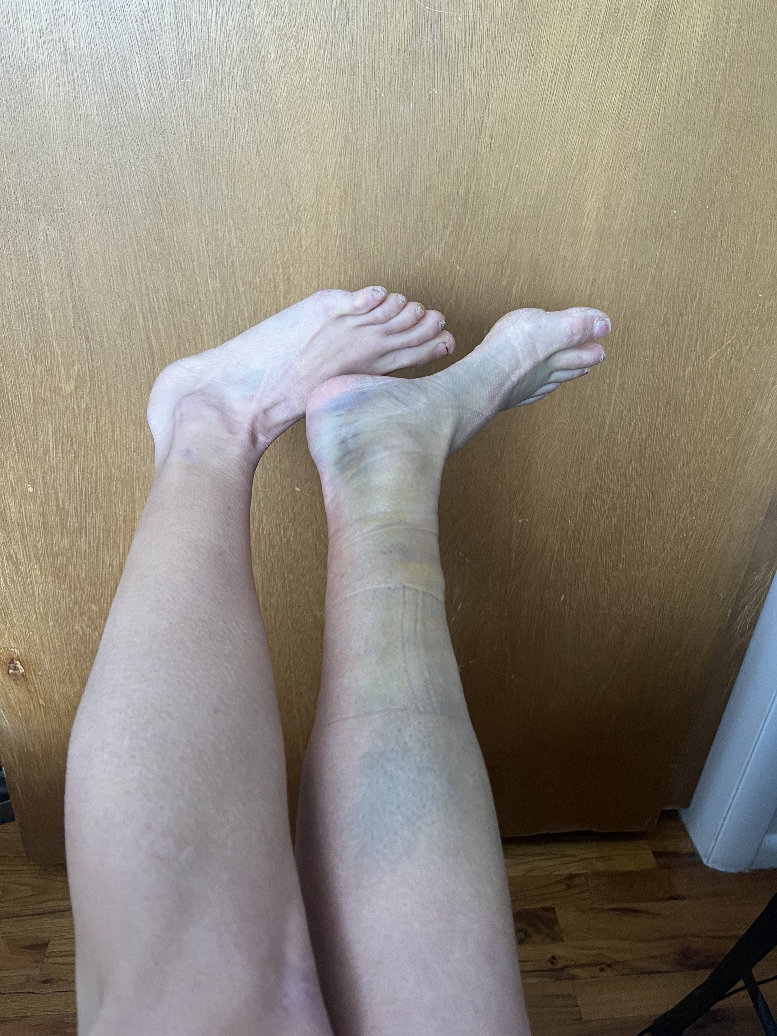
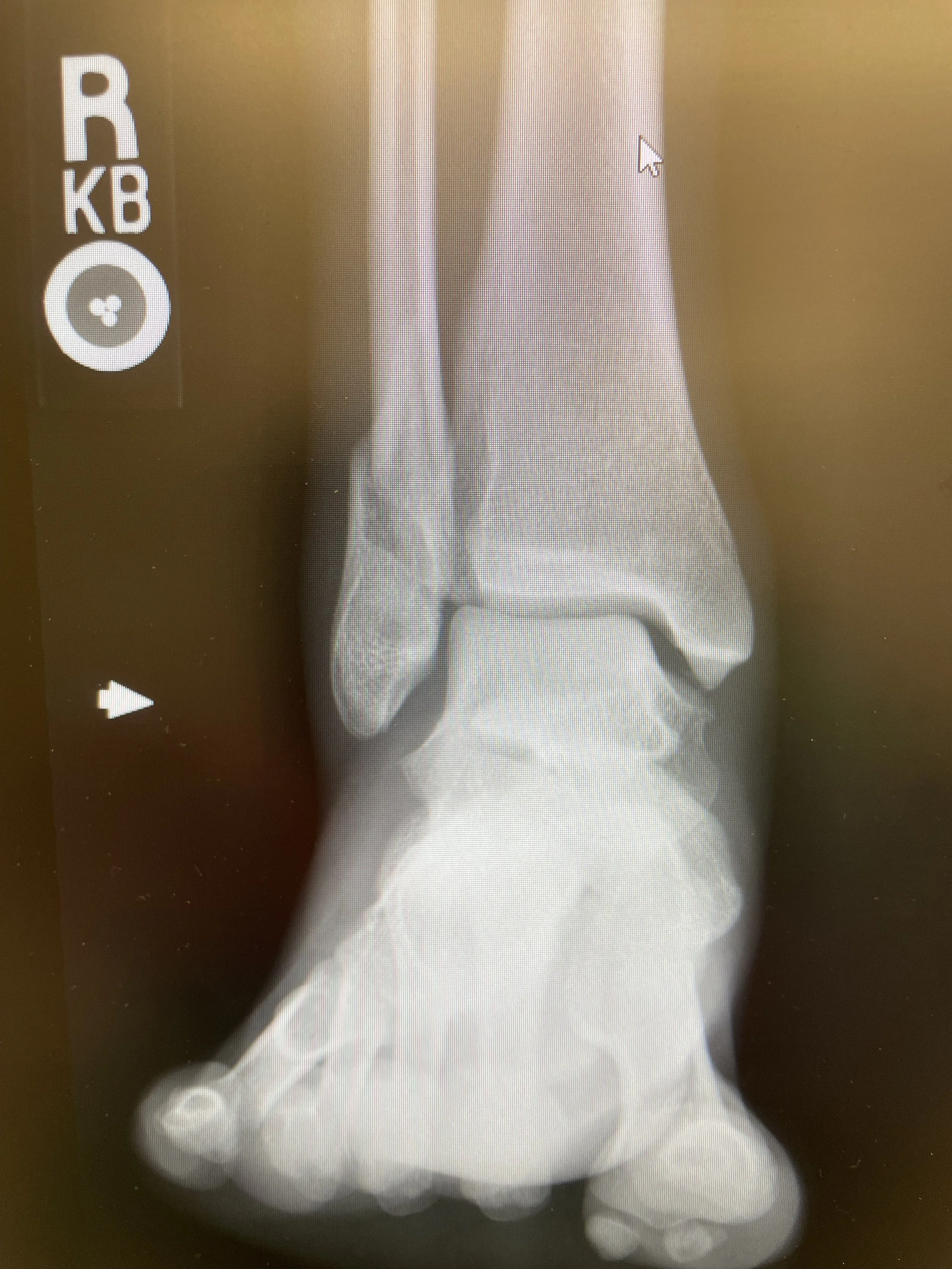
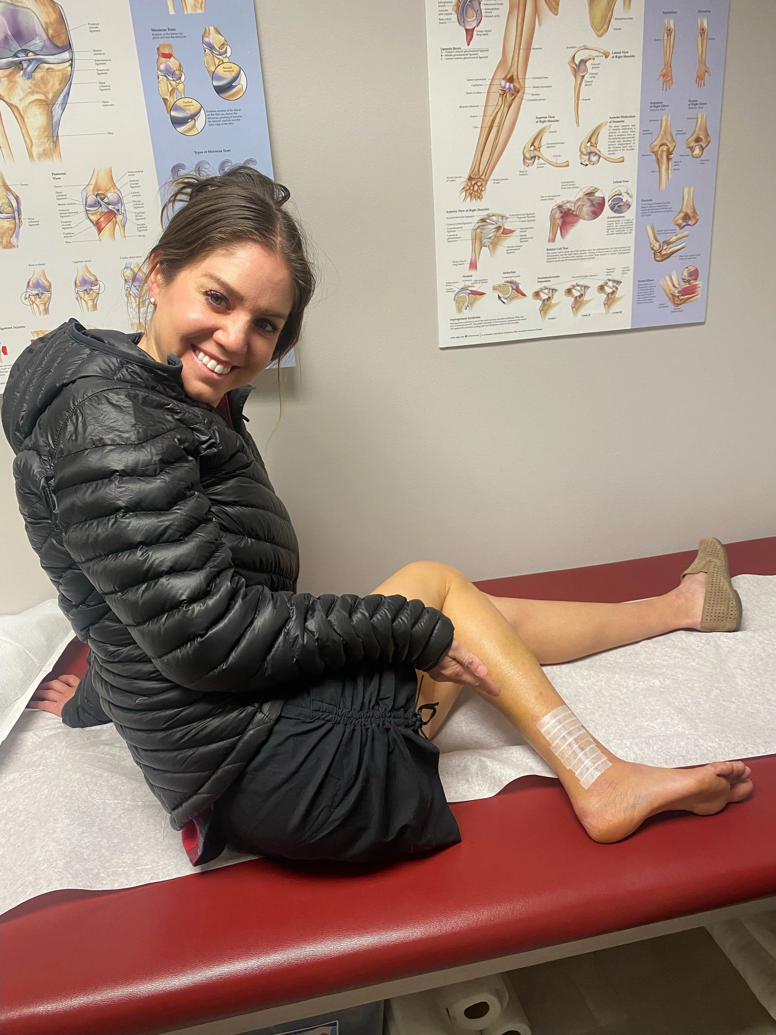
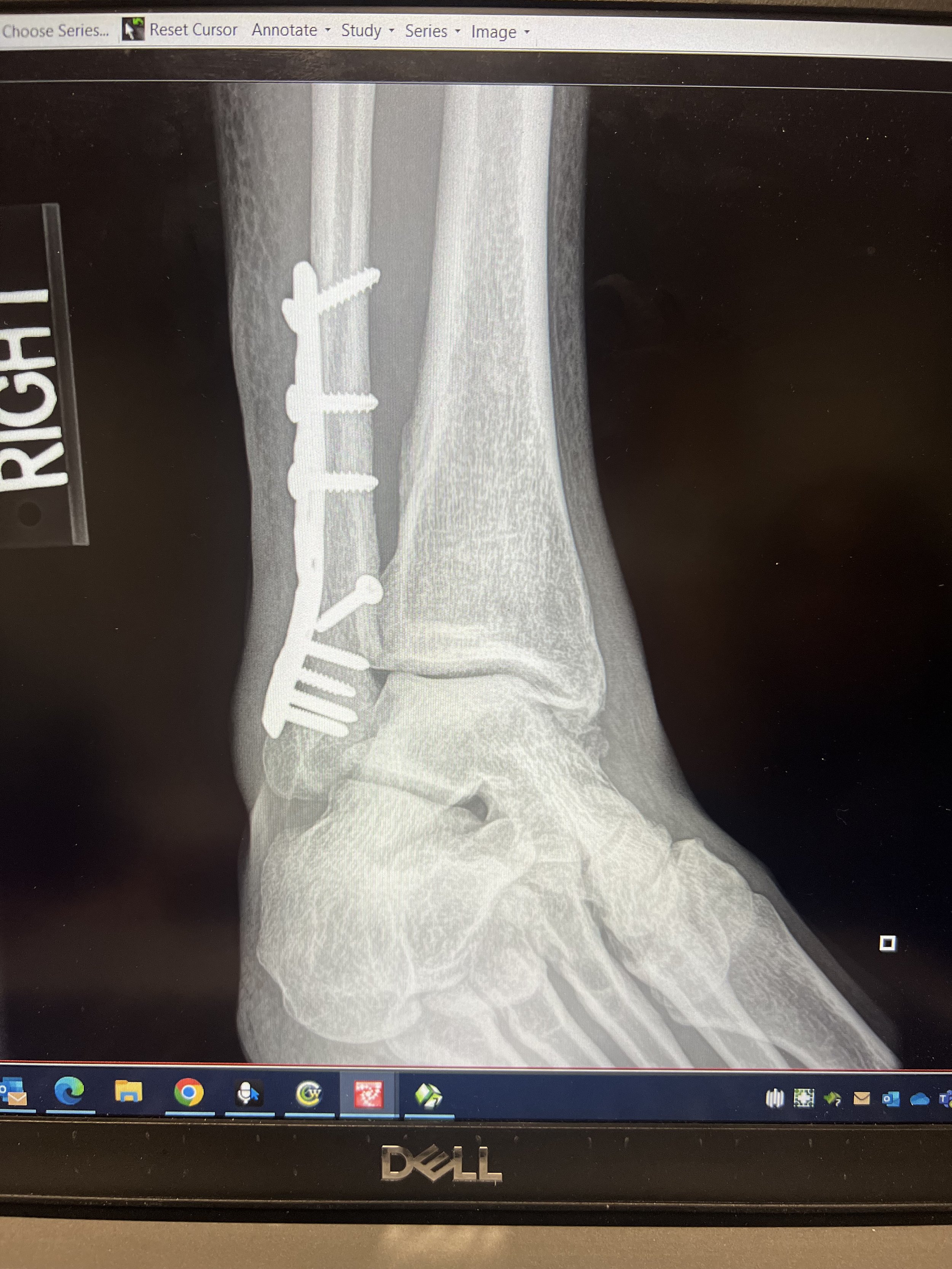
Summit 15-16 - Flagstaff And North Flagstaff - January 30, 2023
Started the day being heckin’ sick—bad cough, goopy nose. Rachel and Tilly were also sick, so we swapped cough drops and moral support as we headed up the Flagstaff Ridge out of Little Cottonwood for our first objective to tag Flagstaff. We took our time, Tilly made huge gains in her kick steps by the top. It was quite cold, but the recent snow made for some serious stoke. We crested the ridge and decided on taking a run down Upper Days since there was plenty of untouched powder and the avalanche concerns seemed to appear okay on that aspect. We tagged the summit of Flagstaff then continued along the ridge to the middle of Upper Days. I made a ski cut to test the stability of the mildly loaded upper section. A few hard jumps. It was good to go. I took the first line down staying left by the trees and popping out into the meadow below. Tilly and Rachel leap frogged their way down, and we continued on to our next objective: North Flagstaff via the ridge between Upper and Main Days to possibly hit The Hallway. We tagged the summit but ultimately decided on exiting across the ridge, out to Toledo Bowl. The gang was sick and not thrilled to climb out of Cardiff. So we started our traverse. However, Keenan and Jens were approaching North Flagstaff and called me. They said they were going to hit the Hallway and that I should join. I tossed my keys to Rachel, letting her know I’ll catch a ride home with them and that I was going to finally hit this classic line. I turned around and got to the Hallway with a party already ahead of us, and another on the summit. We ripped skins hella fast, dropped in just behind the first party, and waited for them to move through the chute. Jens dropped first, linking the Tube all the way to the bottom. I dropped second, only clearing the Hallway and stopping just above the Tube. Keenan followed, and ripped right past me saying to meet him at the bottom. Long story short: I would eventually meet them, but with one less functional ankle.
Images below: Nearing the summit of Flagstaff from the Flagstaff Shoulder, Me atop Flagstaff, Looking down Upper Days, Me and Rachel traversing the ridge, Looking down The Hallway
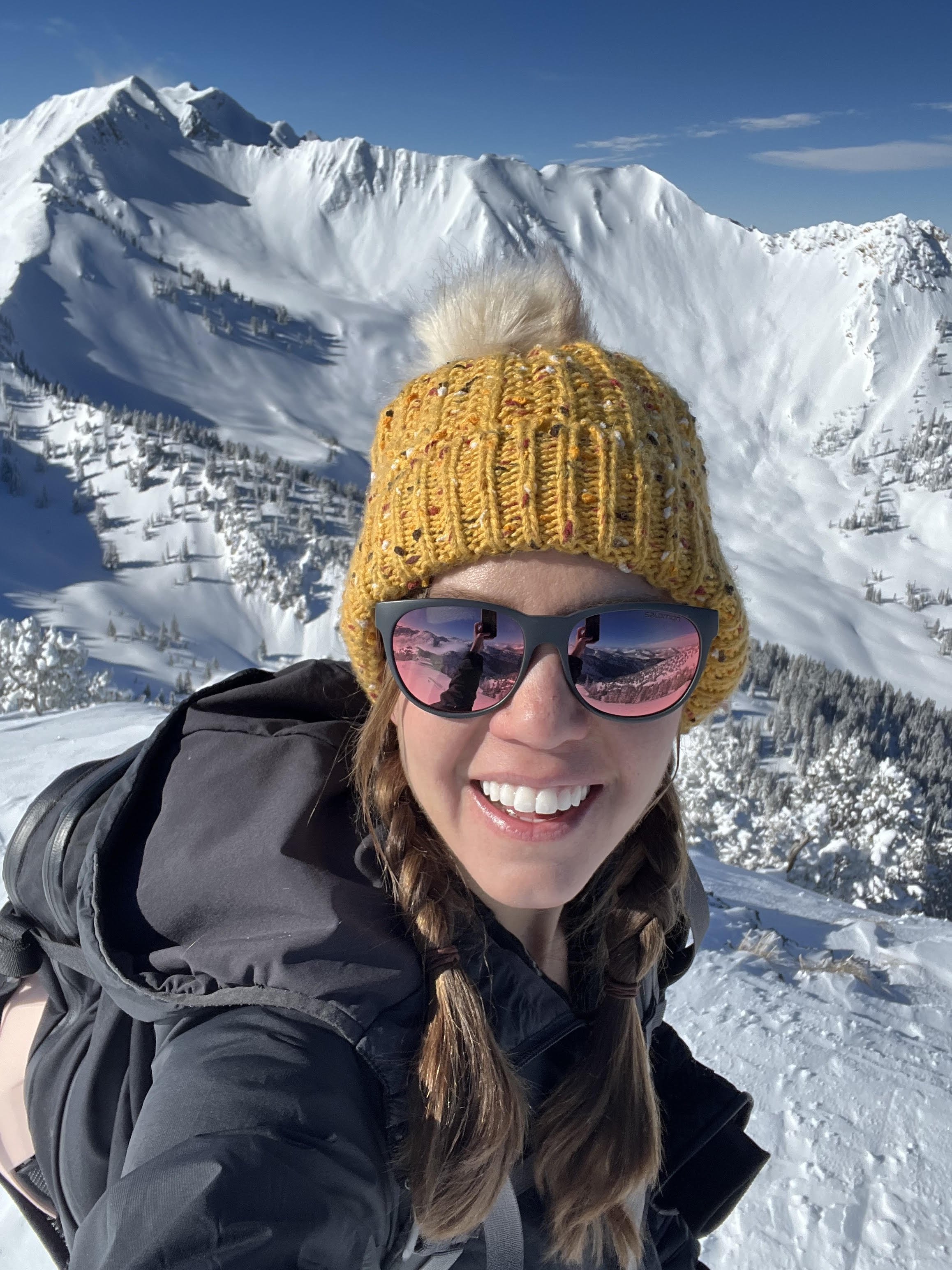
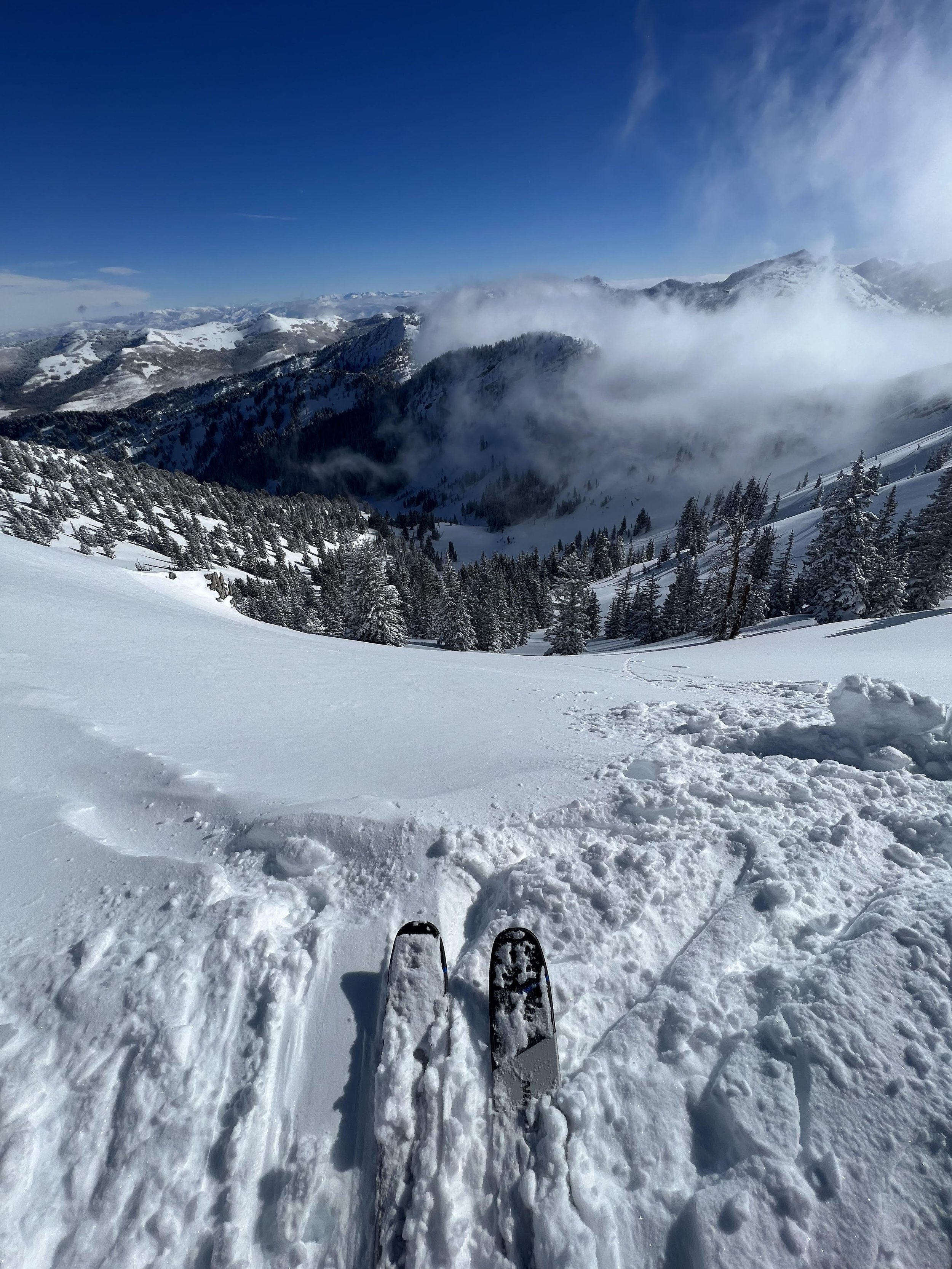
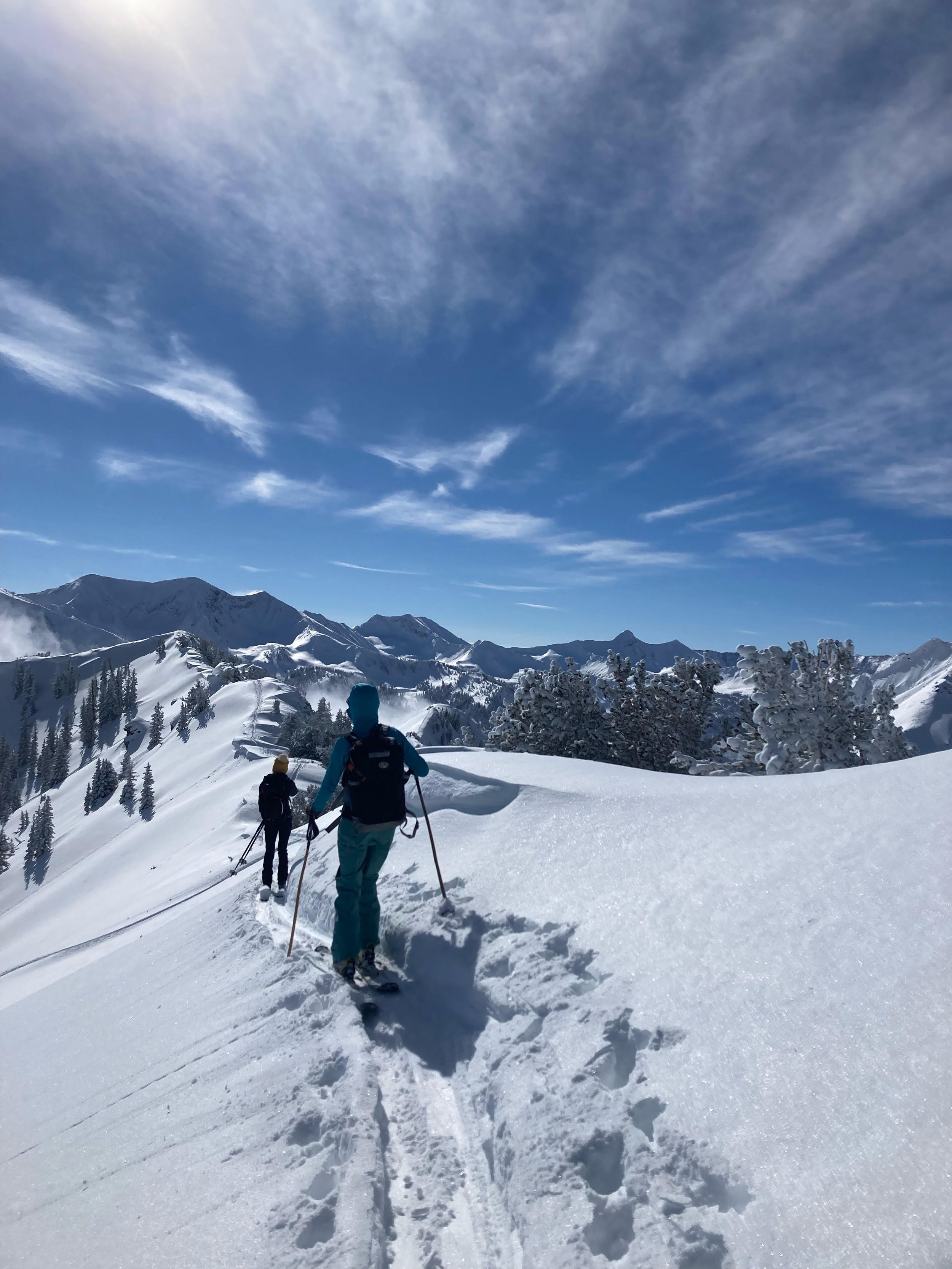
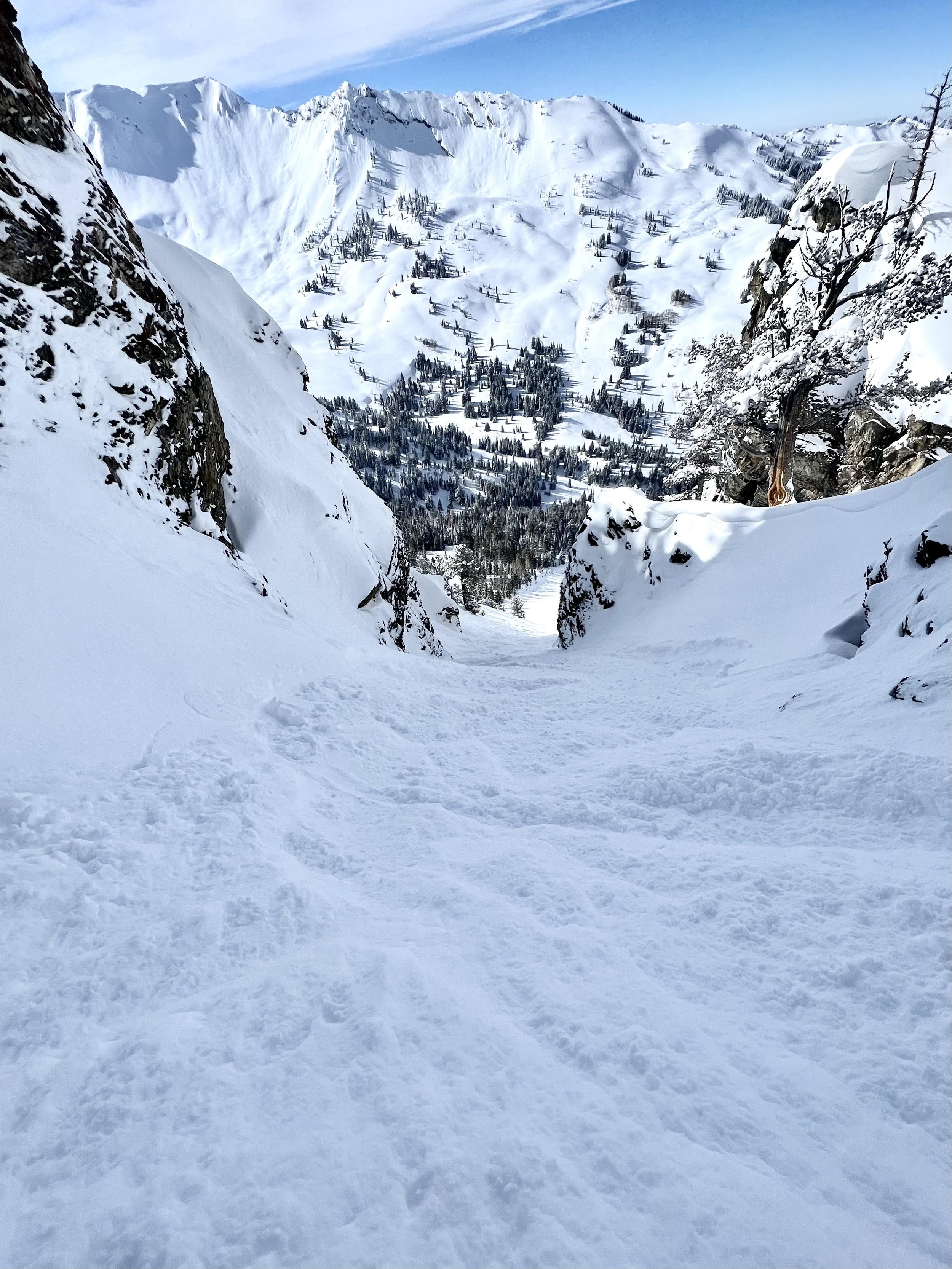
Summit 14 - Circle All - January 27, 2023
Circle All or Circle Awl, depending on what map you’re looking at. This one’s a shorty, but with good bang for it’s buck. It’s a popular hike in the summer since it tops out in a panoramic clearing with great views of Kessler Peak to the south and the surrounding Big Cottonwood peaks. I’ve run this as a short, steep one a few times, but never skied it. Until today!
The approach is the same in both seasons. Park at Butler Fork TH and skin up the west side. We chose to ski the east face since it had slightly steeper slopes with good snow in the trees.
Images below: Looking east from the climb up Circle All, Just below the summit of Circle All, On the summit looking south toward a moody Kessler Peak, Me atop the summit.
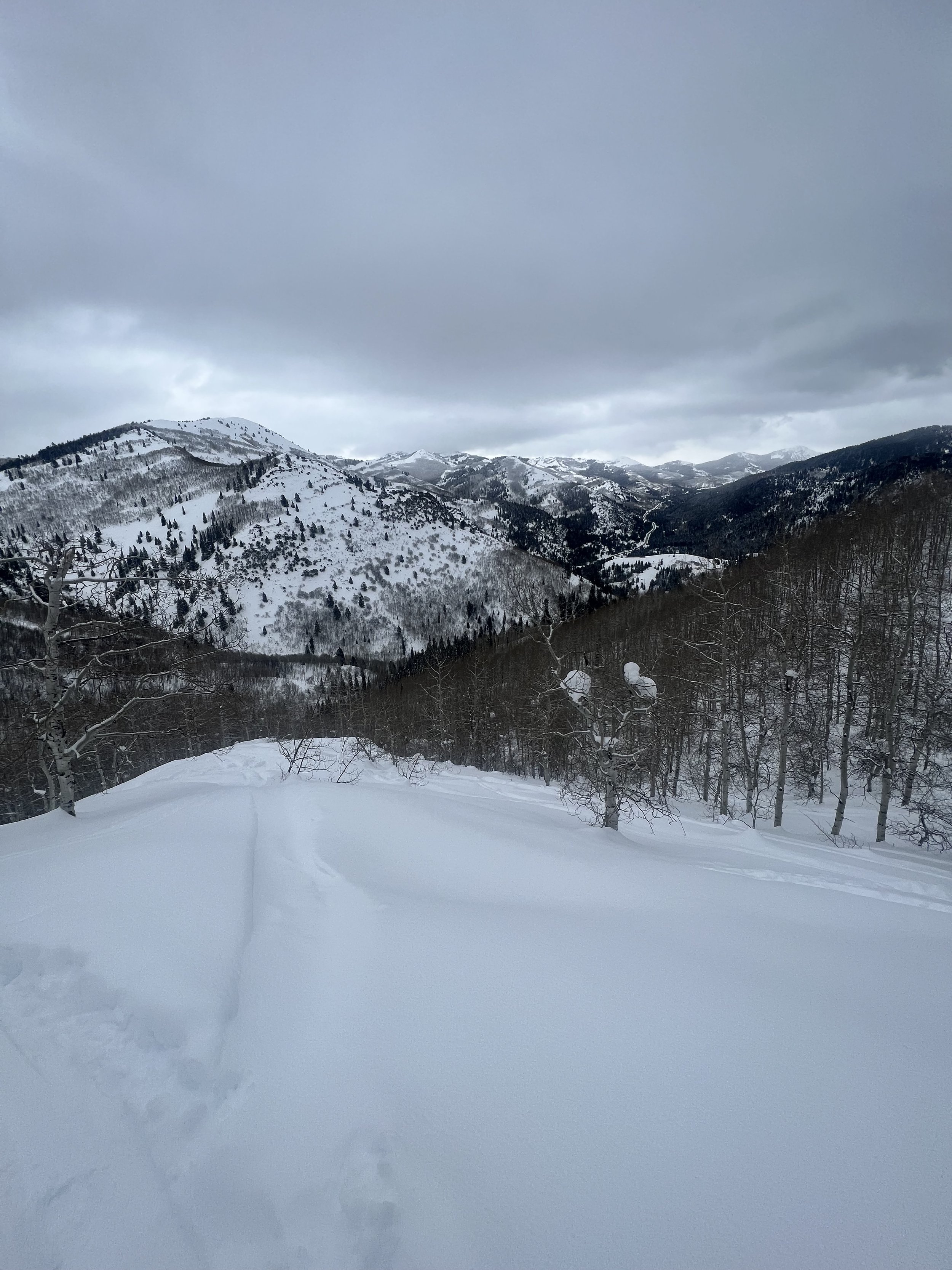
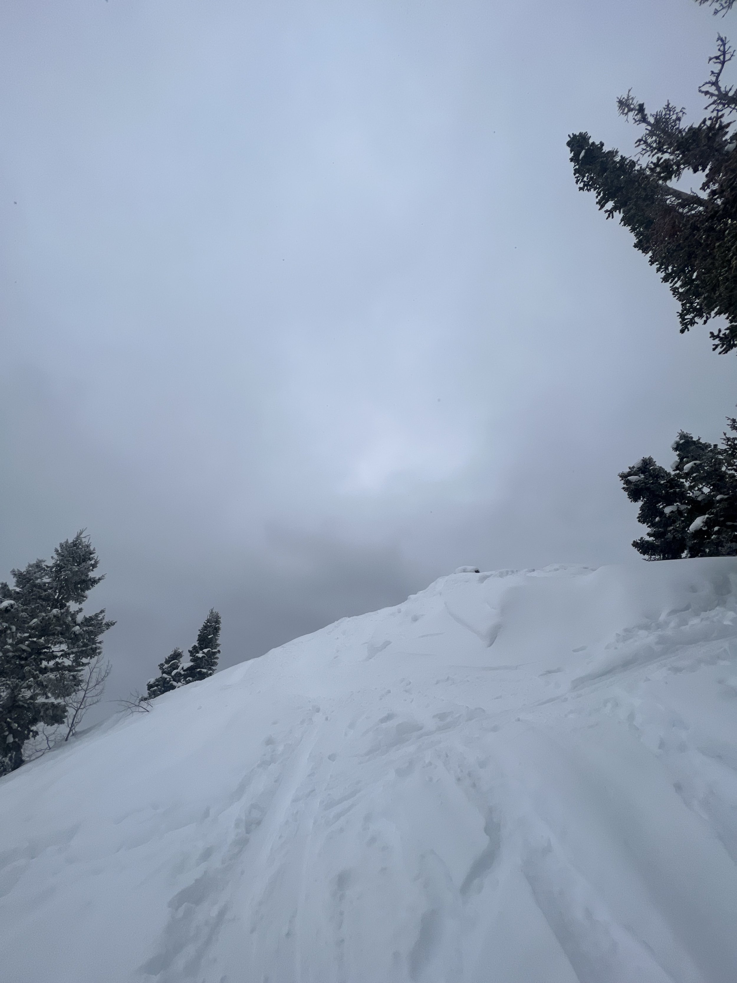
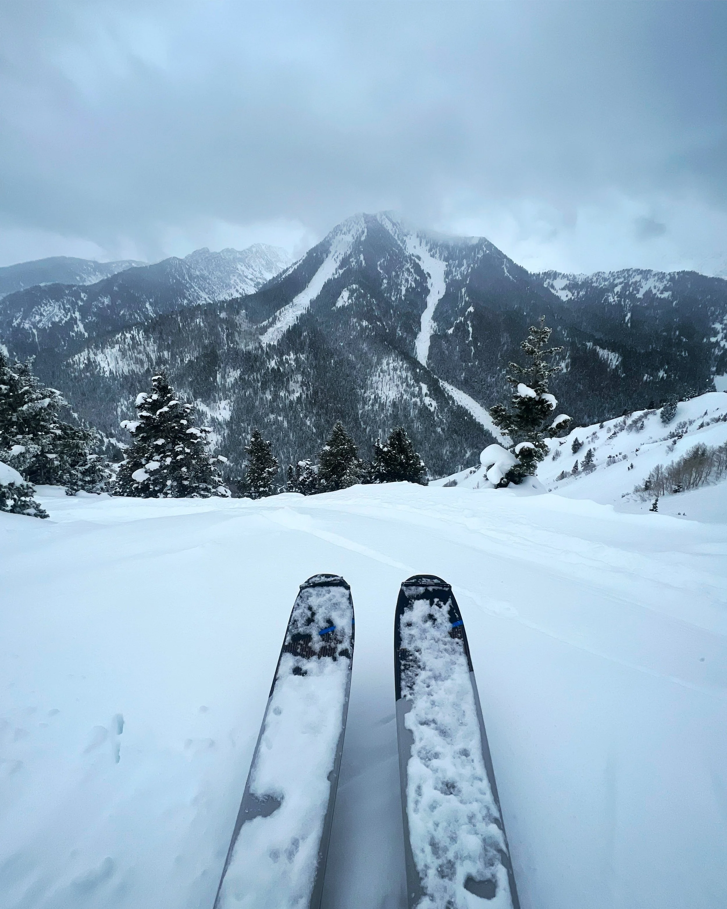
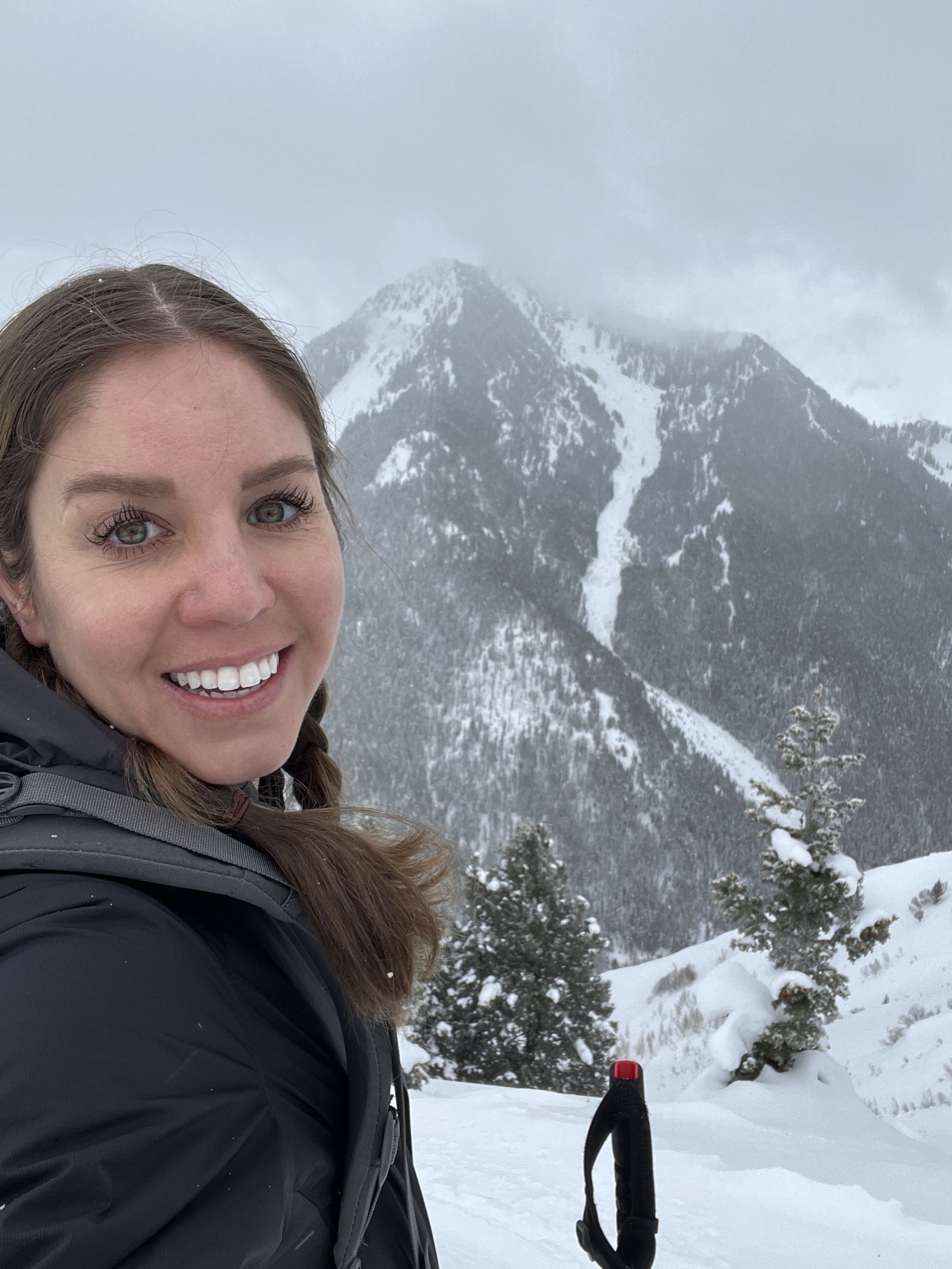
Summit 12-13 - Honeycomb Cliffs and Davenport Hill - January 26, 2023
Days like today are the reason Salt Lake City is the best place to call home. It took me a whopping 17 minutes to get to the parking area at Alta from my house, and 2 hours to leisurely tour Honeycomb Cliffs and Davenport Hill. This kind of lunch break access is unreal!
Avalanche conditions looked fairly good this morning, so despite having a head cold that kept me awake most of the night, I figured I could still grab these two on a short tour and be modest with effort and safe with terrain. I’m glad I went out because the sunshine alone was divine.
I started at Grizzly Gulch, and slowly worked my back to the direct skinner on the face of Honeycomb. The general area seemed quite busy for a weekday with groups of skiers visible in the distance in every direction. It wasn’t quite crowded, though. I only passed a few on my route overall.
Honeycomb Cliffs looks high, and takes a little bit of time to get to even though the milage isn’t all that much. The summit was wind affected, so I kept the lingering up there to a minimum. Solitude Resort on the other side had the chutes open so there were some resort skiers booting up just below along the south ridge. I ripped skins and drank some water, taking a moment to enjoy the pristine view of Superior in the distance. I chose to ski the west face, the shortest and least interesting line down with the intent to rendezvous with the skin track on the saddle with Davenport Hill. It definitely wasn’t the best snow, and they were hardly fun turns. But alas, I was not feeling that great, and while the thought of slashing pow down East Bowl did sound like a hoot, the idea of skinning more vertical feet in the cold shaded valley below did not. But for anyone else considering this summit and that line, 100% recommend.
The saddle to Davenport Hill made me wonder why anyone comes up there to ski just that. It’s short, windy, and while it has nice views on a clear day, Davenport Hill itself is small. The north side is not skiable given the massive cornices, but the northwest run called Down and Out did look like it could be a nice one. Again, not that long, though. The loading up high and direction of the wind ruled out a linger on the true summit longer than necessary—I took a brief look around and snapped a pic for proof, then dropped just below to change over. Those same conditions made me skeptical about dropping in on Grizzly Cup directly to the south. There were tracks from the day before, but all things considered, I didn’t think today was best for that one.
I traversed back to the lower angle ridge skiers left, and enjoyed turns in some of the better snow up high before it turned heavy below 9900ft and then sun affected in the meadow along the ski back to the car.
Davenport Hill is done, and probably won’t be repeated from the summit. Honeycomb Cliffs, however, I’ll be back!
Images below: In Grizzly Gulch looking up at Honeycomb Cliffs, Just below the Honeycomb Cliffs summit, me on top of Honeycomb, The Solitude Weather Station also on top of the Honeycomb Cliffs summit, Some cornices along the west ridge to Davenport Hill, Nearing the summit of Davenport Hill, Davenport Hill Summit, Proof that I was there with Superior in the background, Just below the Davenport Hill summit looking back at Honeycomb Cliffs.
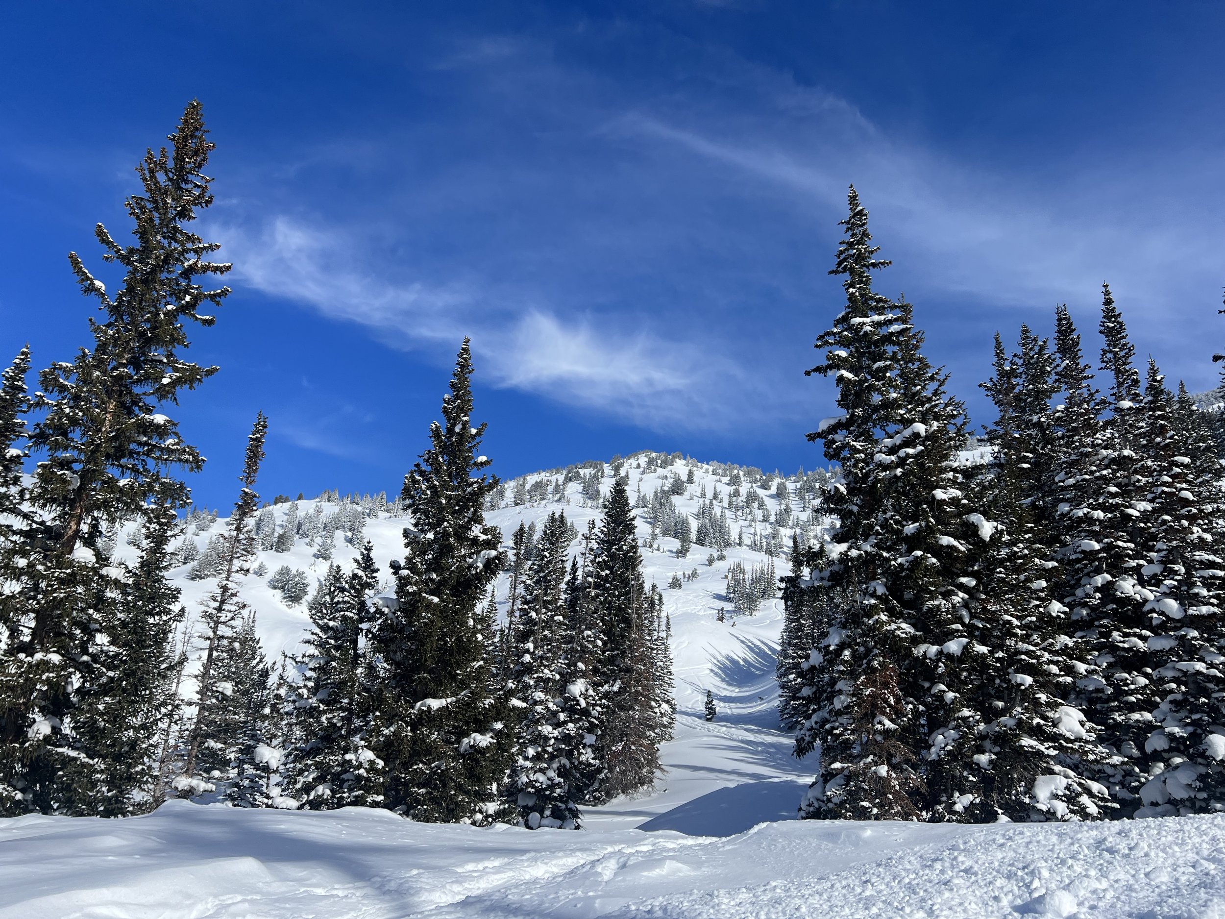
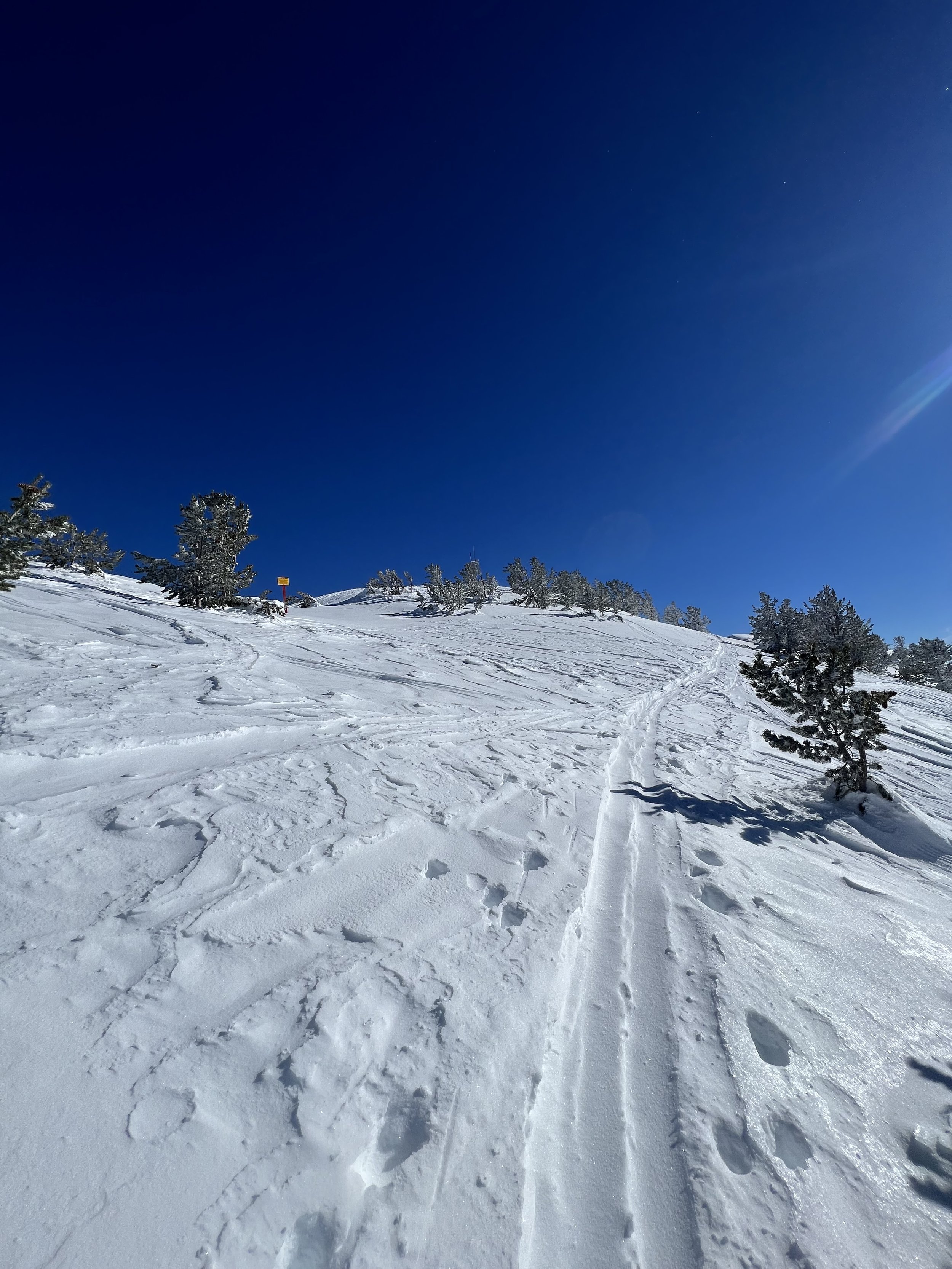
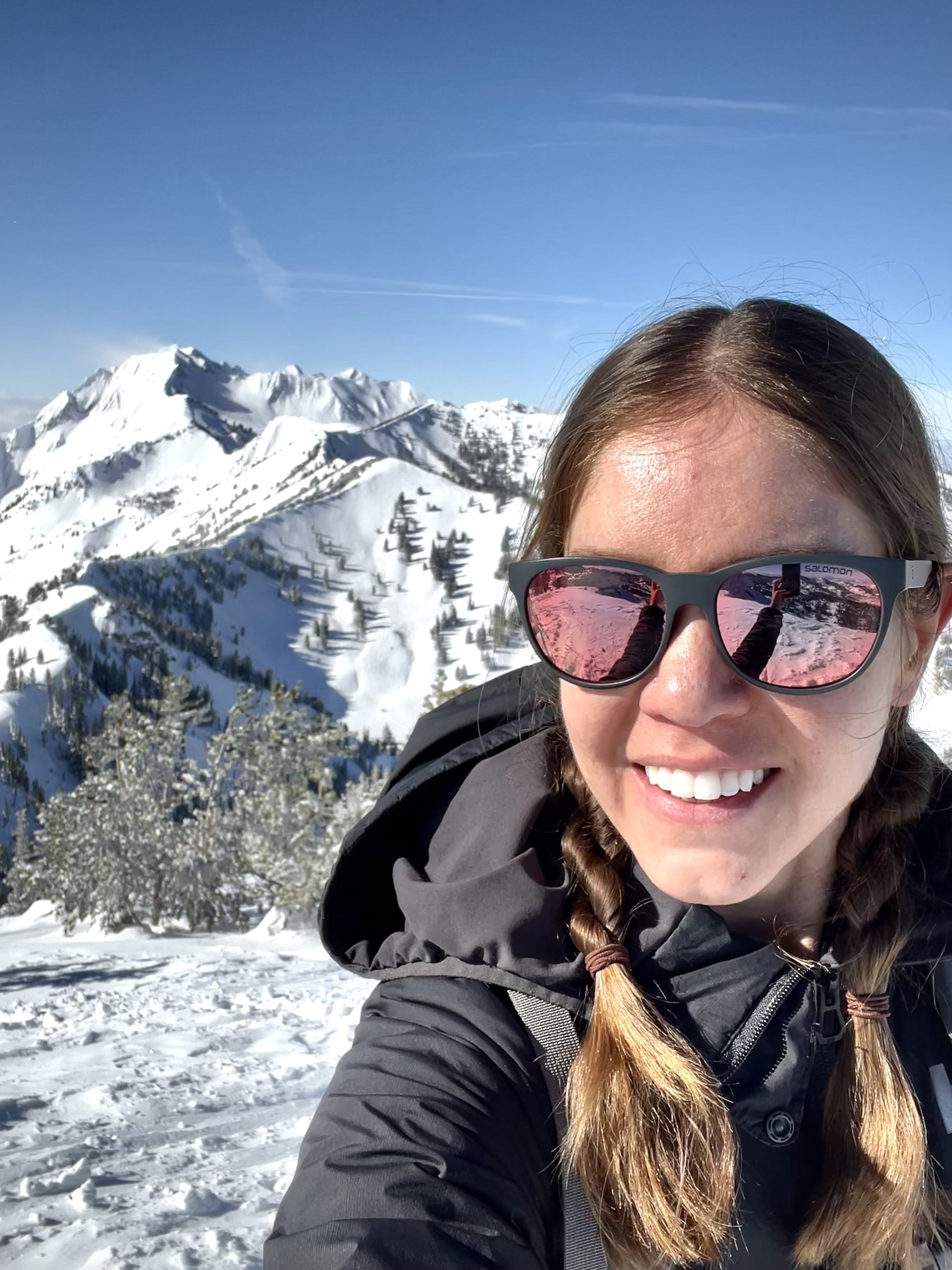
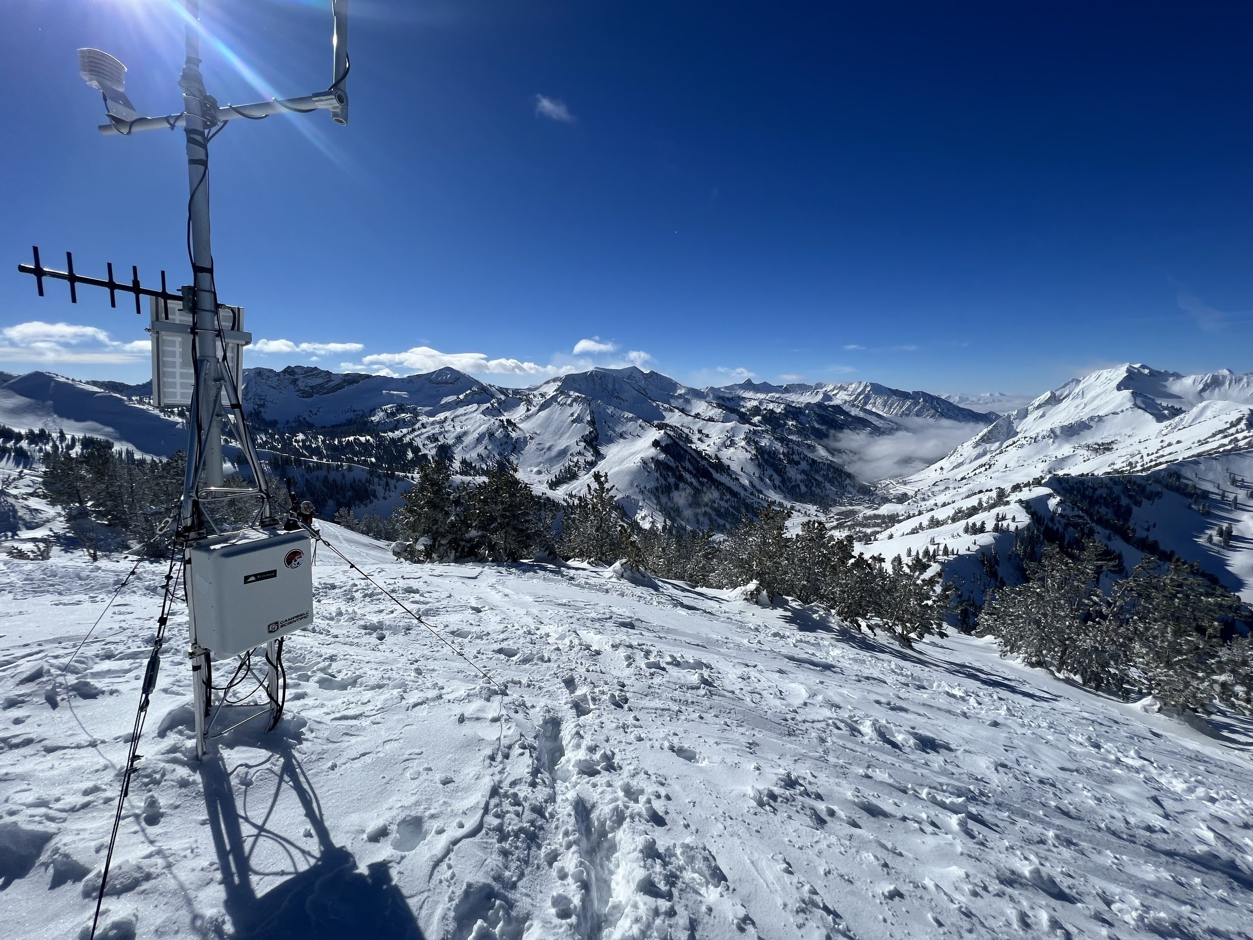
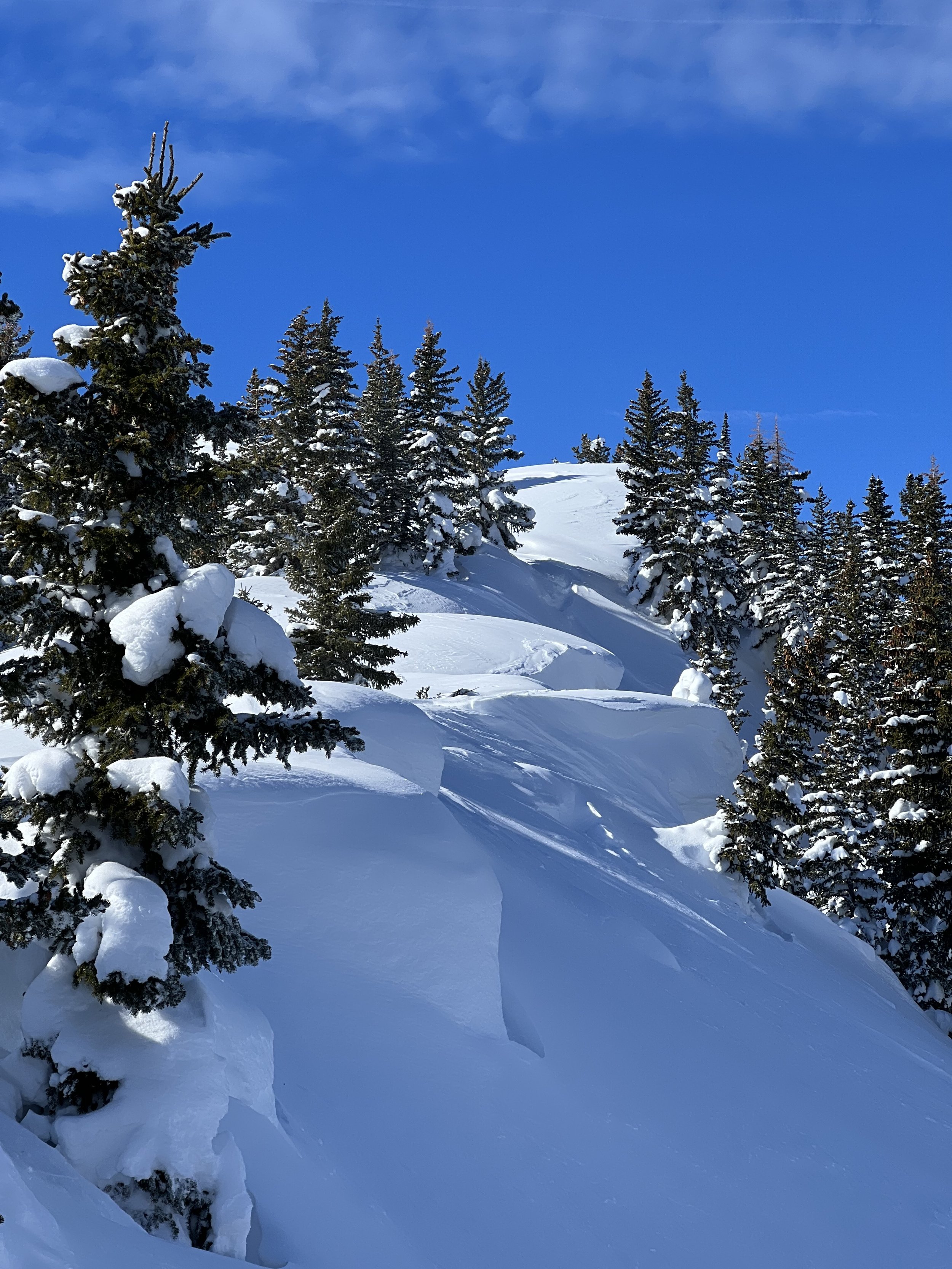
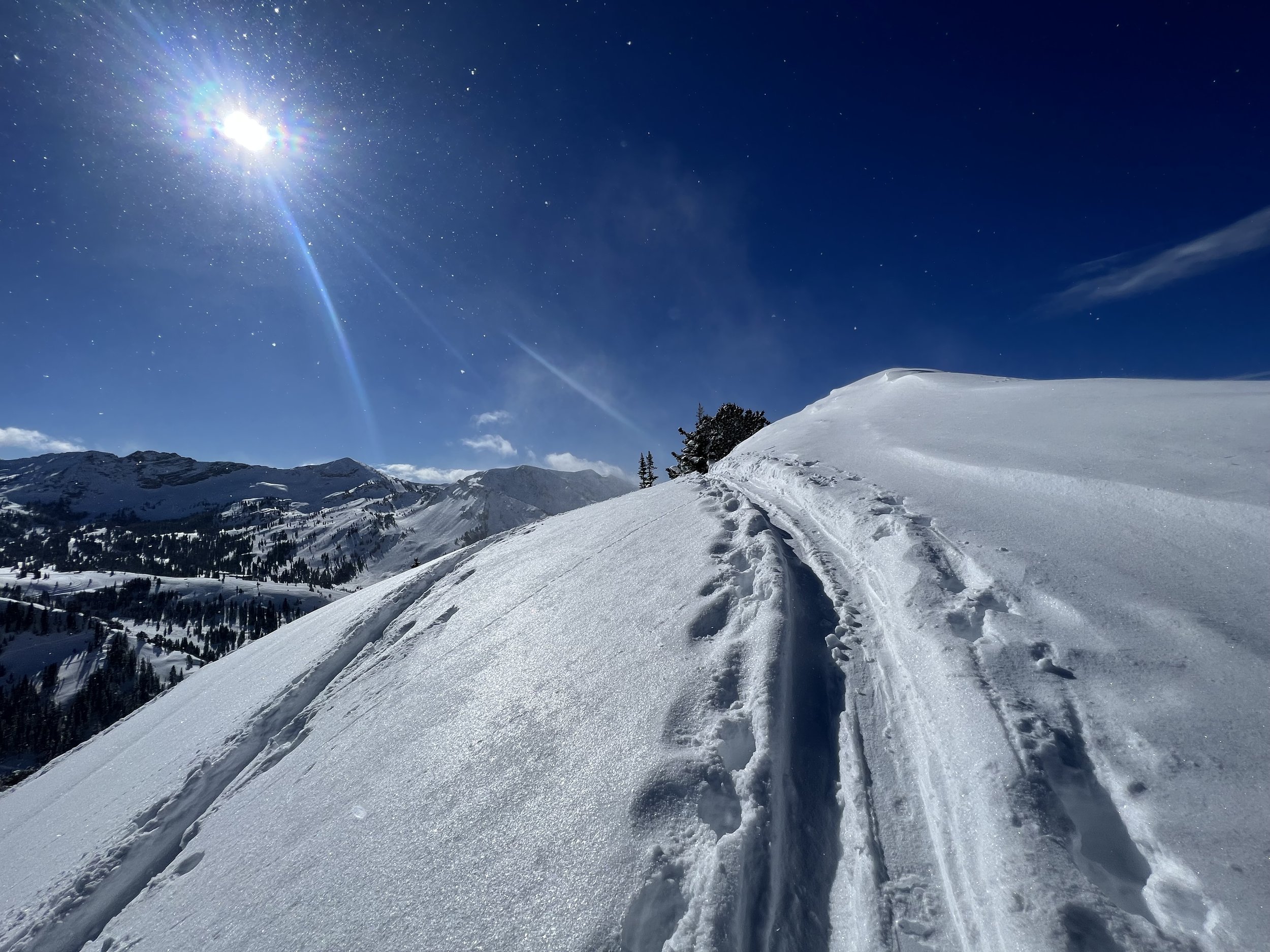
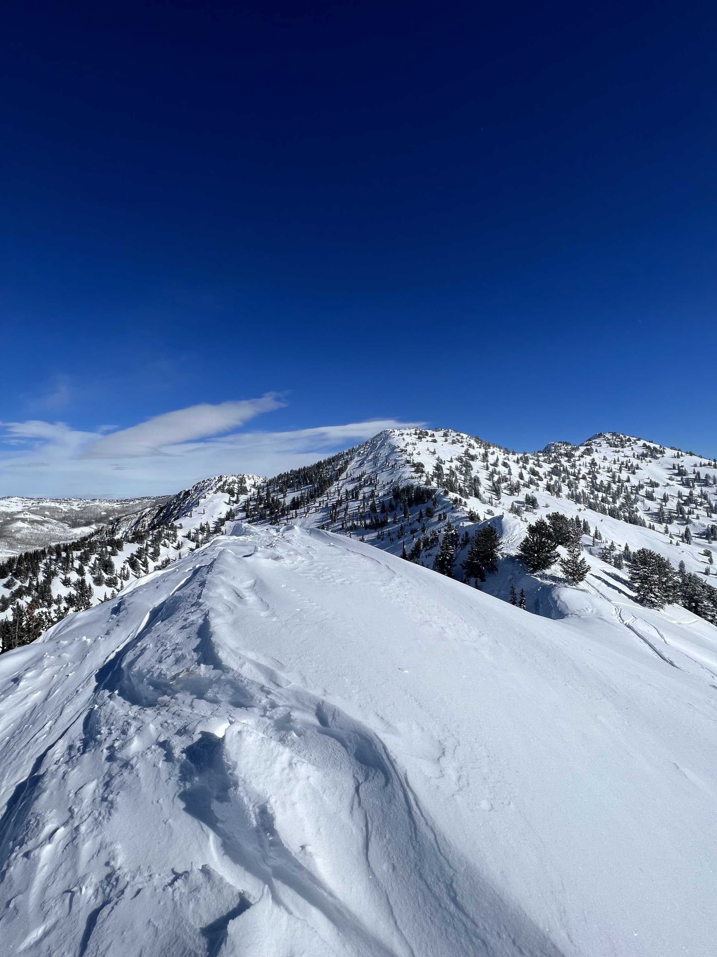
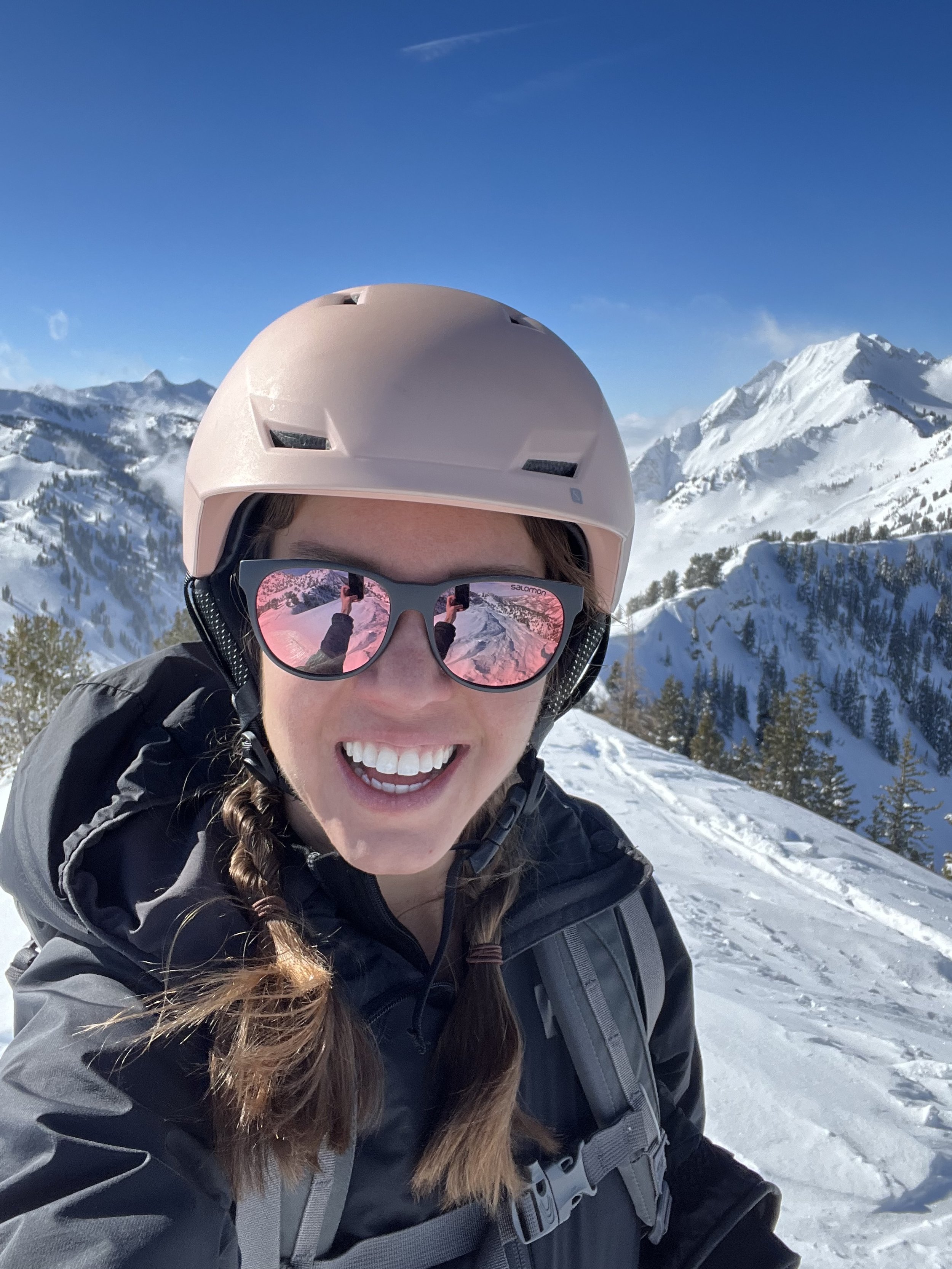
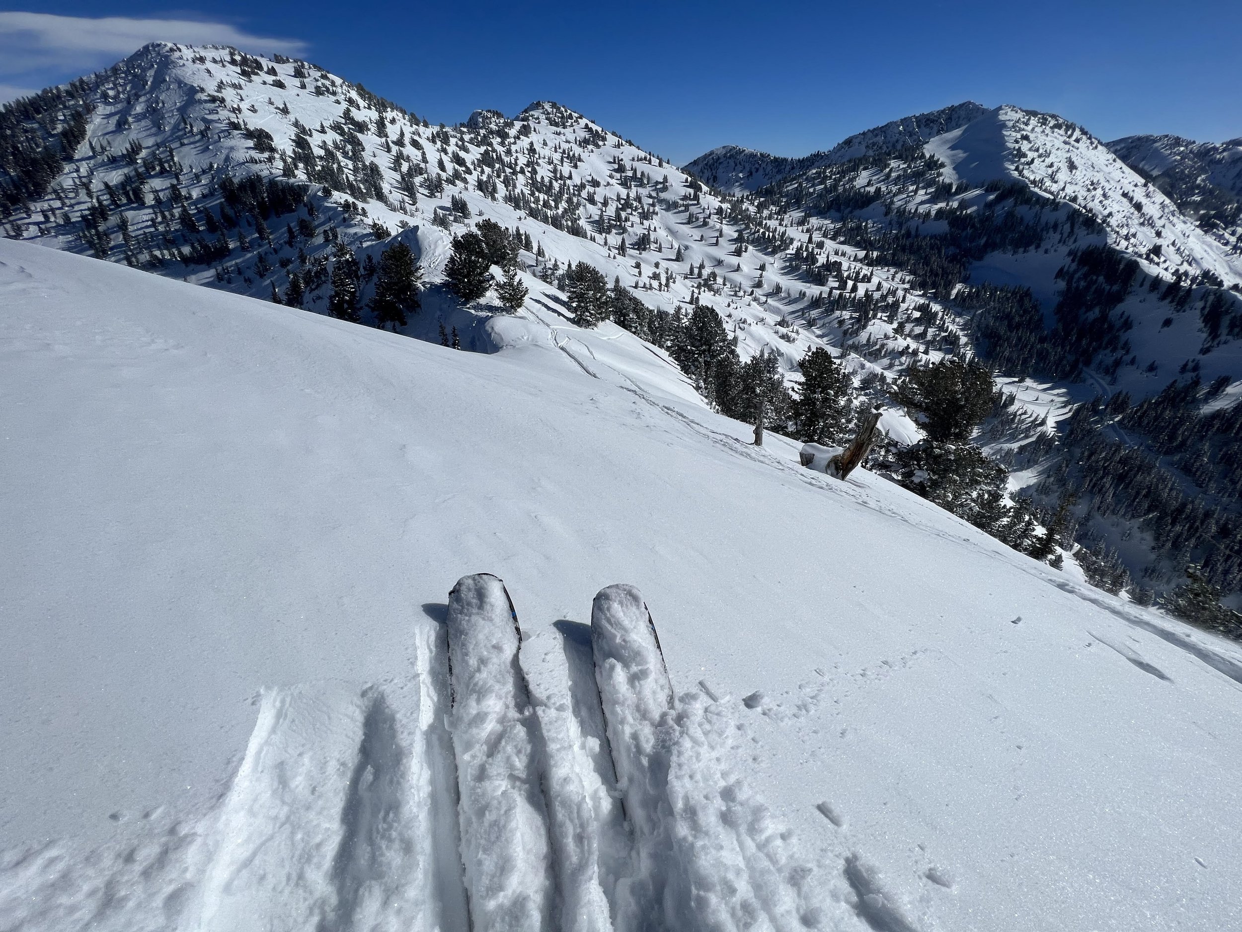
Summit 11 - Mount Aire - January 24, 2023
Mount Aire. What to say about Mount Aire… It’s there? It boasts easy access from I-80 in the winter time with a steep, but short-ish ascent to the summit where there are 3 chutes that are technically in the Chuting Gallery. Mount Aire is also accessible in the summer months from Millcreek Canyon with a trip length of roughly double the distance. Perhaps I didn’t love it because it was socked in so beyond the view to the east where some of the ridge to Snowdrift was visible, there wasn’t much to see. Our original plan was to ski down to about 6900ft and then skin up and tag Snowdrift as well, but motivation was low by that point. I’ll elaborate.
We parked at the Lambs Canyon TH around 1:55pm. I was swinging early hours at work today so a mid-afternoon break was feasible. We set off at 2, and started to work our way up the lower gully until we reached the obvious slope to the right where the skintrack would start switching upward—just under a mile.
We worked our way up the icy skinner with a slight wind, a little flurry of snow, and relatively decreasing visibility. It was an unremarkable ridge of sorts, at least until we crested the first section. We passed a couple of skiers here, and essentially kept going to the summit without any stopping. It just wasn’t pleasant out, and apart from the numerous ski lines dropping off to the left, there was little to look at.
We topped out in 1 hour and 46 minutes, so not too bad considering it was approximately 2,667ft of slick skinning to get there. After a quick transition, we traversed to the main chute area with some wind board and frozen chop up high making us question if the chute would be any good.
It wasn’t.
Snow was okay, with intermittent frozen tracks giving you a nice buck when you attempted to make a turn. The lower section of the chute was rather choose-your-own-adventure as the scrub oak appeared in thick patches. We picked our way through treed slopes, getting maybe 2-3 turns of decent turns for every 2 thickets we stumbled around.
Once we reached our target zone of 6,900ft, we decided to bail on the second summit (Snowdrift) because moral was low. The skiing really wasn’t that great for the effort required to gain another 1,500ft in low-vis condition, s we continued our way down through the tunnel of trees and tall scrub oak, which was probably the only interesting part of the tour.
I’ll be back.
Images Below: On the lower skin track looking up at Mount Aire fully engulfed in clouds, Part way with an ever so slight view of Aire, Keenan jumping in front to check conditions ahead along the ridge, The clouds catching us along the final summit push, Keenan atop the true summit, and lastly, yours truly atop Mount Aire!
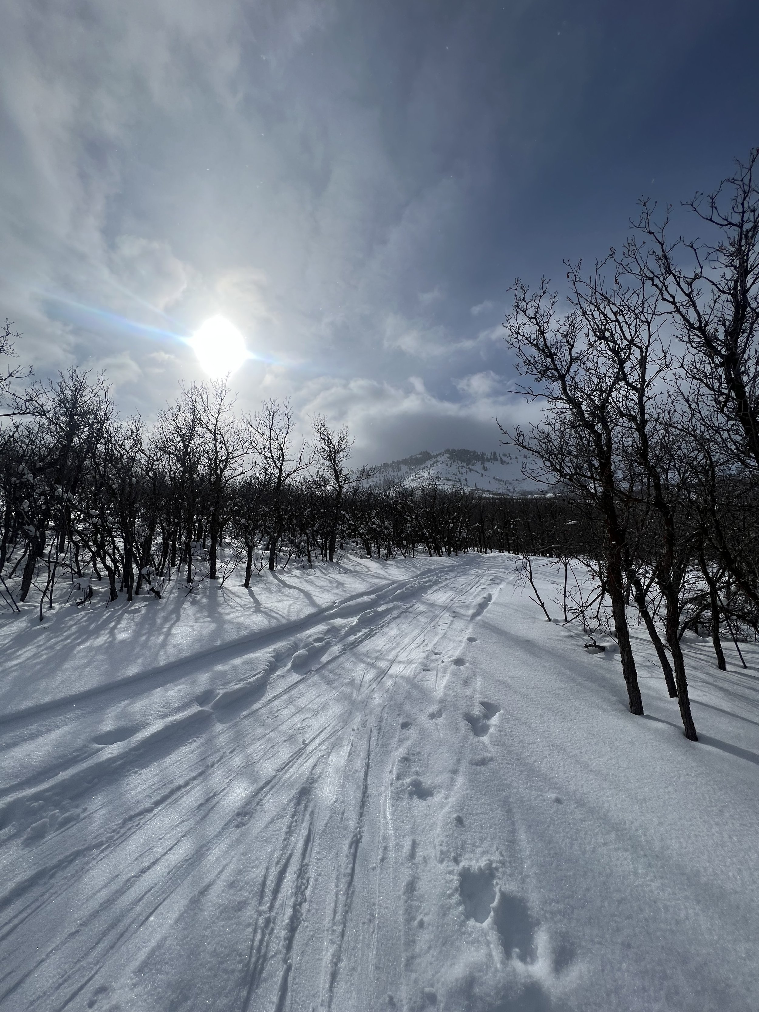
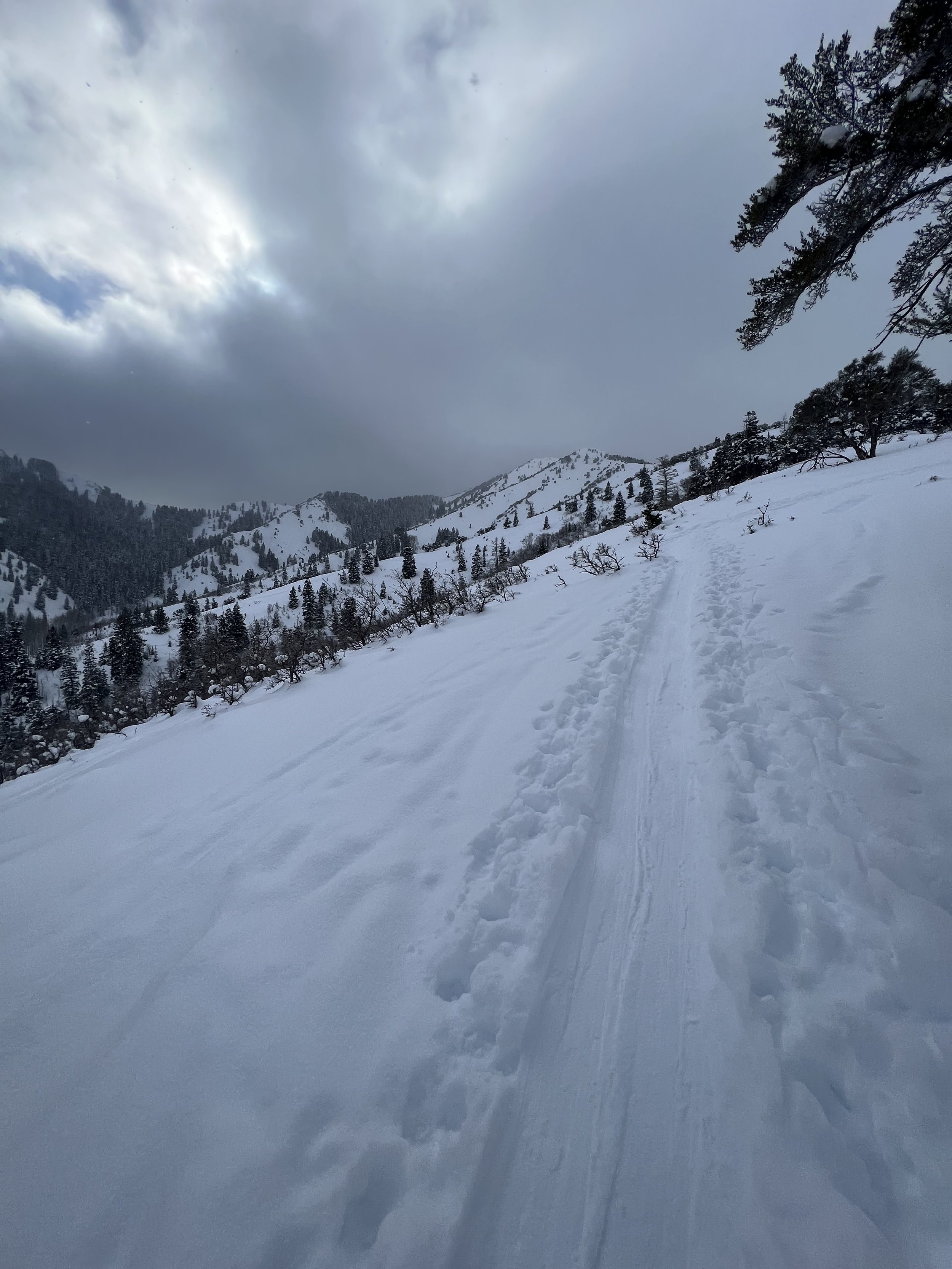
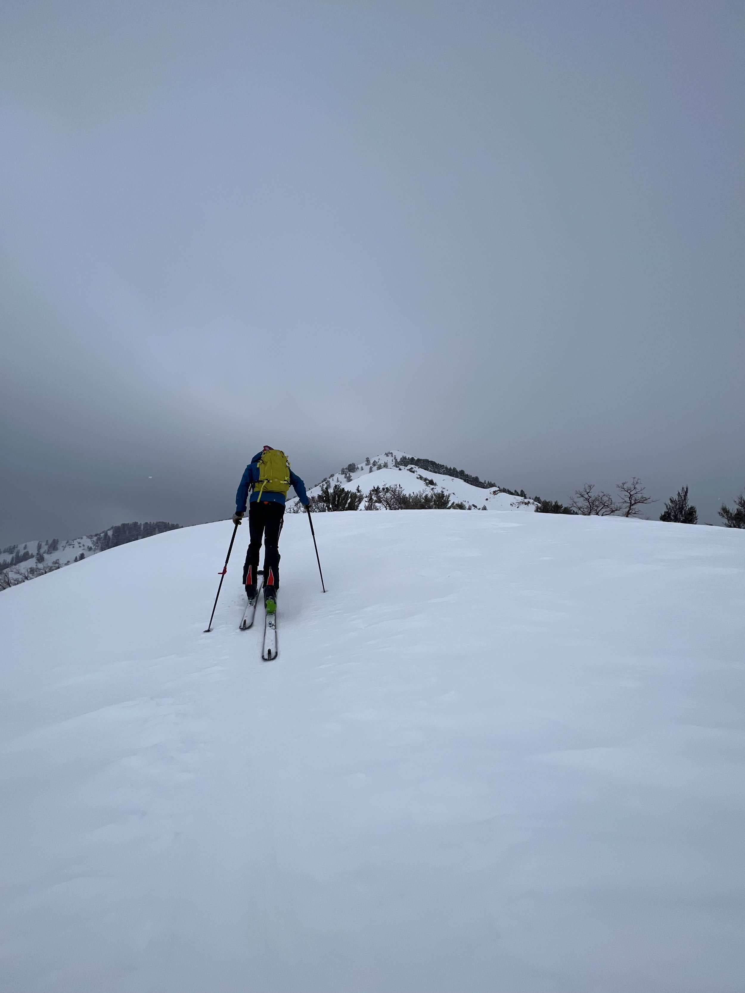
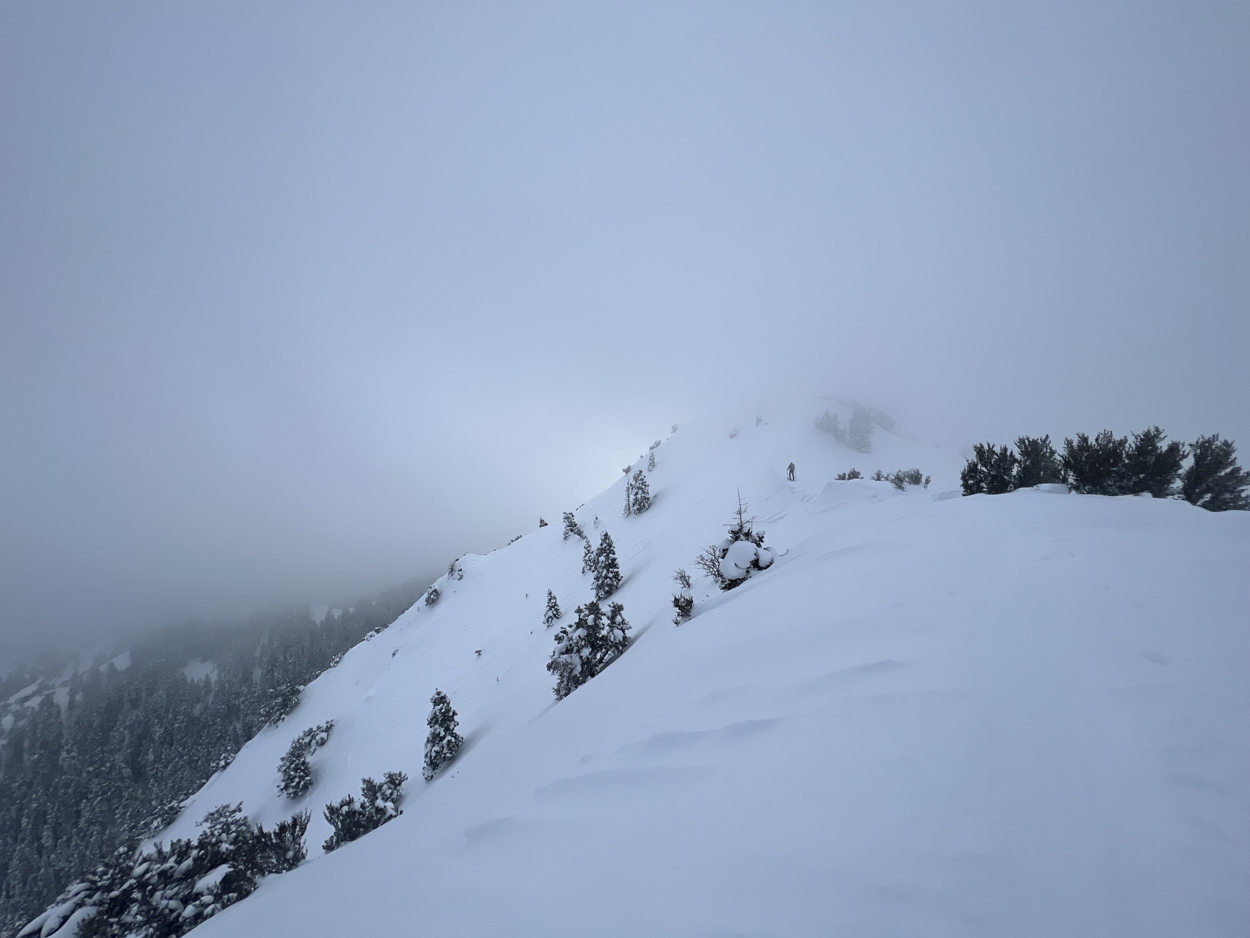
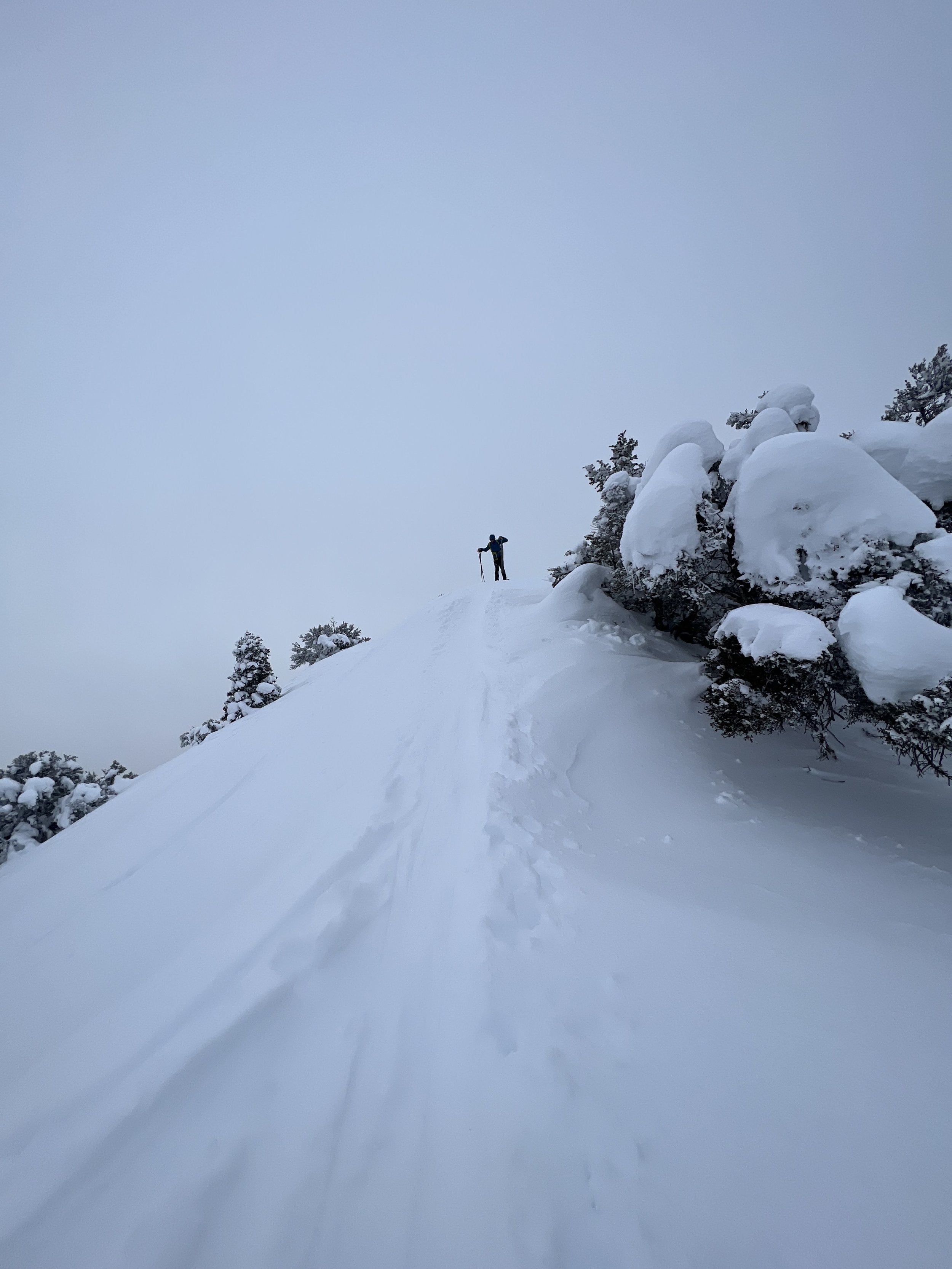
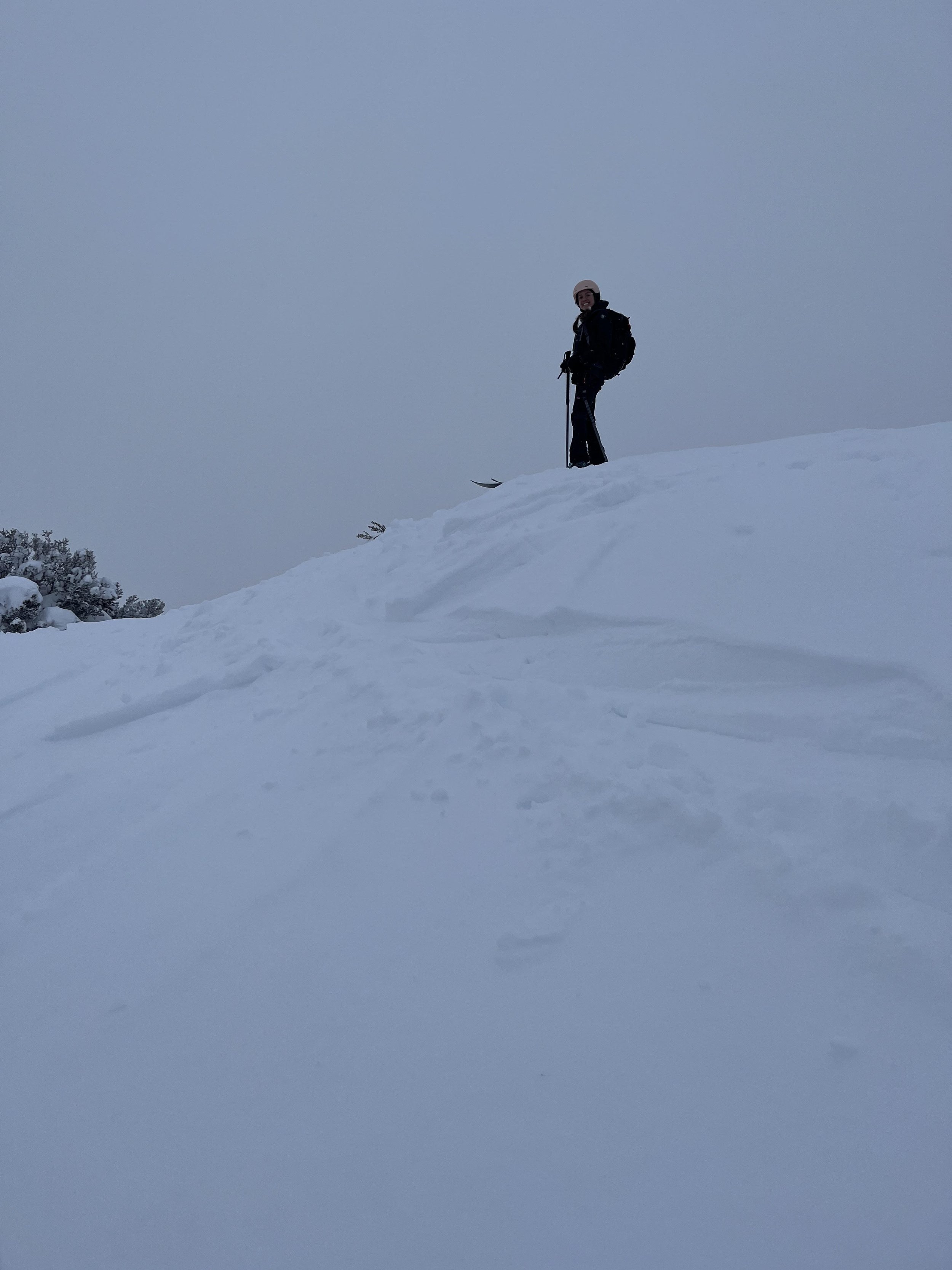
Summit 10 - Wilson Peak - January 21, 2023
The day started a bit more interesting than we expected. Keenan and I were going to drop a car off at the top of Millcreek Canyon, then shuttle over to Big Cottonwood and ski point-to-point. While I was driving up Millcreek, a dog appeared on the side of the road, I stopped, it ran around to my driver side, then trotted back to the Bowman Fork parking area. I flipped around and found him sitting next to a car with the back hatch open. After closer inspection, I saw there was a dog bed in the back, and Missing Dog signs all over the car. The pup whimpering in front of me looked to be the same dog in the picture, so I opened the hatch and said “come on, get in,” and to my surprise, the dog just jumped in. He let me pet him for a moment, and I figured this was left for him to find, but the piles of dog food on the bed were perfectly neat so I guess he never hopped in over night. It was 6:55am, still dark, and single digits cold. The sign said he would have been missing for 2 nights now. I closed the hatch and it beeped to lock. I hopped in my car, drove up to the top of the canyon and we quickly got Keenan’s things together so we could boogie down the canyon into cell service. I gave the phone number a call, and a nice fella picked up after the first ring. He was relieved to hear the dog was alive, and a woman in the background was letting out some loud noises of relief as well. I think we were all very impressed the dog, named Graham, was alive, well, and managed to not venture far from where we went missing. The funniest part of this to me, is that this is the 4th lost dog I’ve found in 3 months, along with 1 lost cat.
Anyway, we kept motoring along on our way up Big Cottonwood. Saturday traffic in the canyons is the bane of my existence. We took the last parking spot at Butler Fork. Brushed up on the forecast, beacon check, we headed up the skin track.
We gained the first ridge, a relatively untracked zone in all seasons, but we got a good look at the massive crown on East Gobblers before dropping in to Butler Basin with some gloriously untouched turns. We broke trail up to Alexander Pass, booted over a small rocky cliff, and then skinned up to Wilson Peak where 4 guys looks rather surprised to see us. We transitioned in 2 minutes max, then I dropped in first down Wilson Chutes.
The turns were great, but the lower apron was by far where the best fun was had. Wide open, fresh powder—I almost forgot to turn at all.
Keenan followed, hugging the left side of the chutes, and we rendezvoused in the meadow below. Another quick transition and we were off to skin up to a neighboring ridge, maybe 150ft or so, to drop Bonus Bowl and work our way back to the Millcreek winter gate. Bonus Bowl was a little bit more on the heavy side with slough management almost the whole way down. After perfect turns off Wilson Peak, it left something to be desired. We hooked left around a ridge to cut into Thousand Springs, with maybe 2/3 of it left to ski down. We traversed until we found an open gully and made some awkward tight turns down until we flushed out onto the winter road in Millcreek. A mile more to go, the ever so slightly graded, icy road, was increasingly packed full of hikers and off leash dogs the closer we got to the parking lot. I was marveling because the parking lot is tiny. How the heck did they all get here? When we arrived at the car, we noticed the cop issuing tickets for cars parked in down the exit lane where “no parking” signs were all clearly posted.
All in all, not a bad day. Could have lived without the shit show that is the resort traffic, but beggars can’t be choosers.
Images Below: The lost dog sign for Graham, looking up at Wilson Peak from the valley below, gaining the ridge, me on the ridge with Wilson behind, a cool tree where we dropped into Butler Basin, Keenan atop Wilson Peak after traversing Alexander Ridge, Me arriving at the summit with Gobblers behind, dropping into and skiing Bonus Bowl below Wilson Chutes.
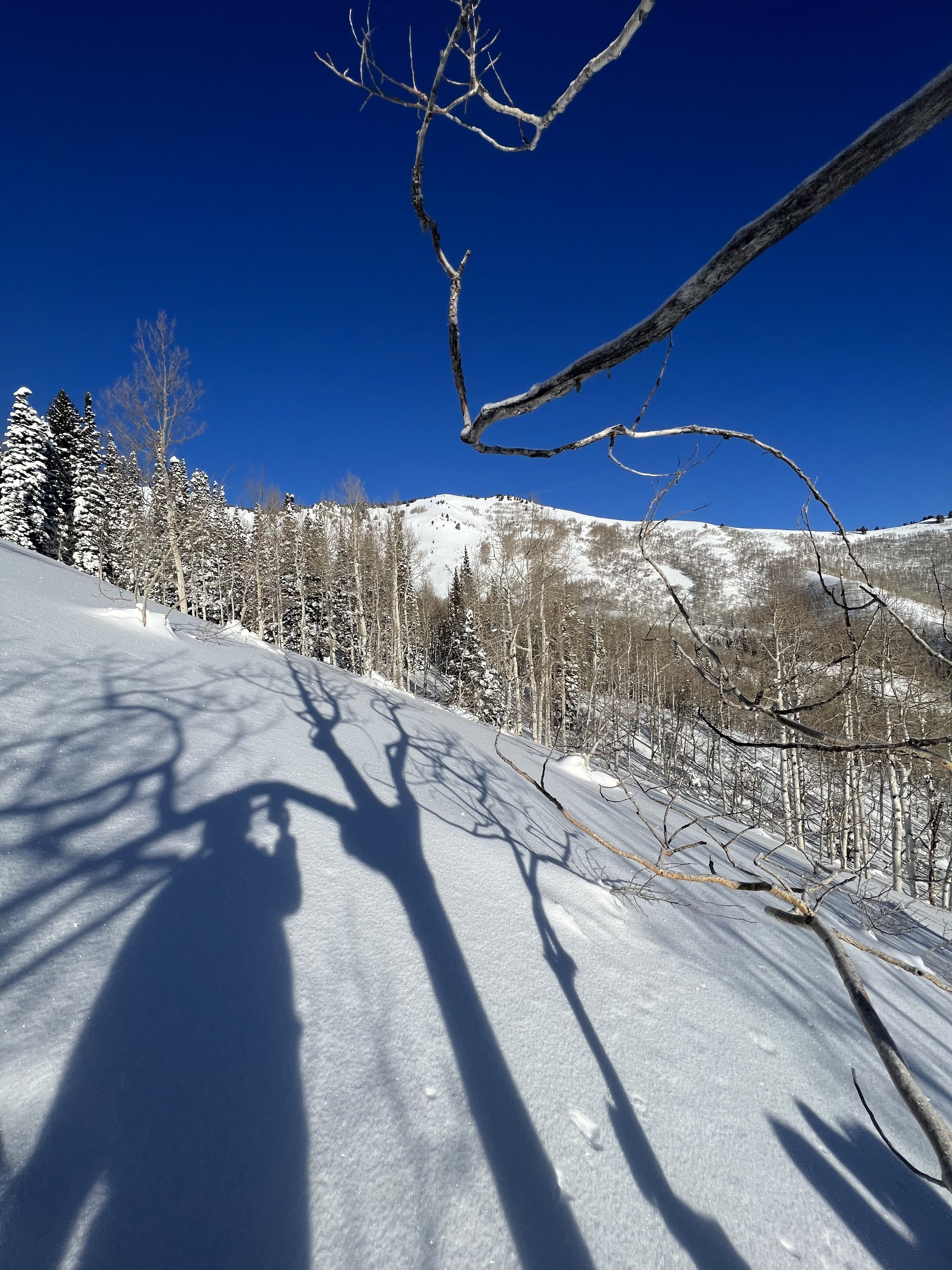
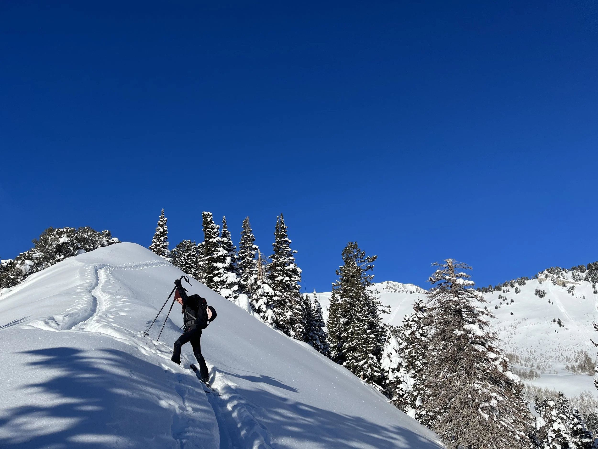
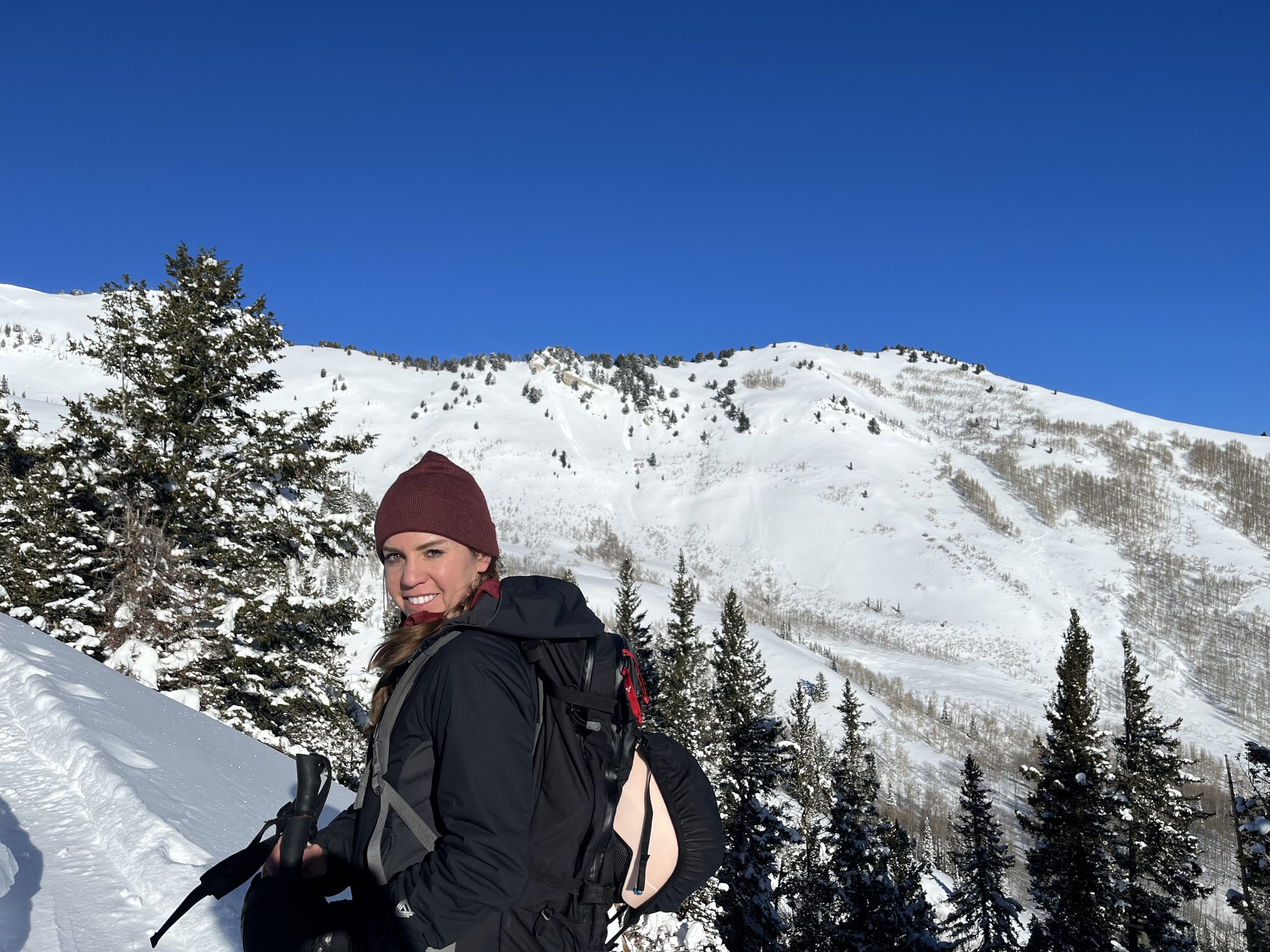
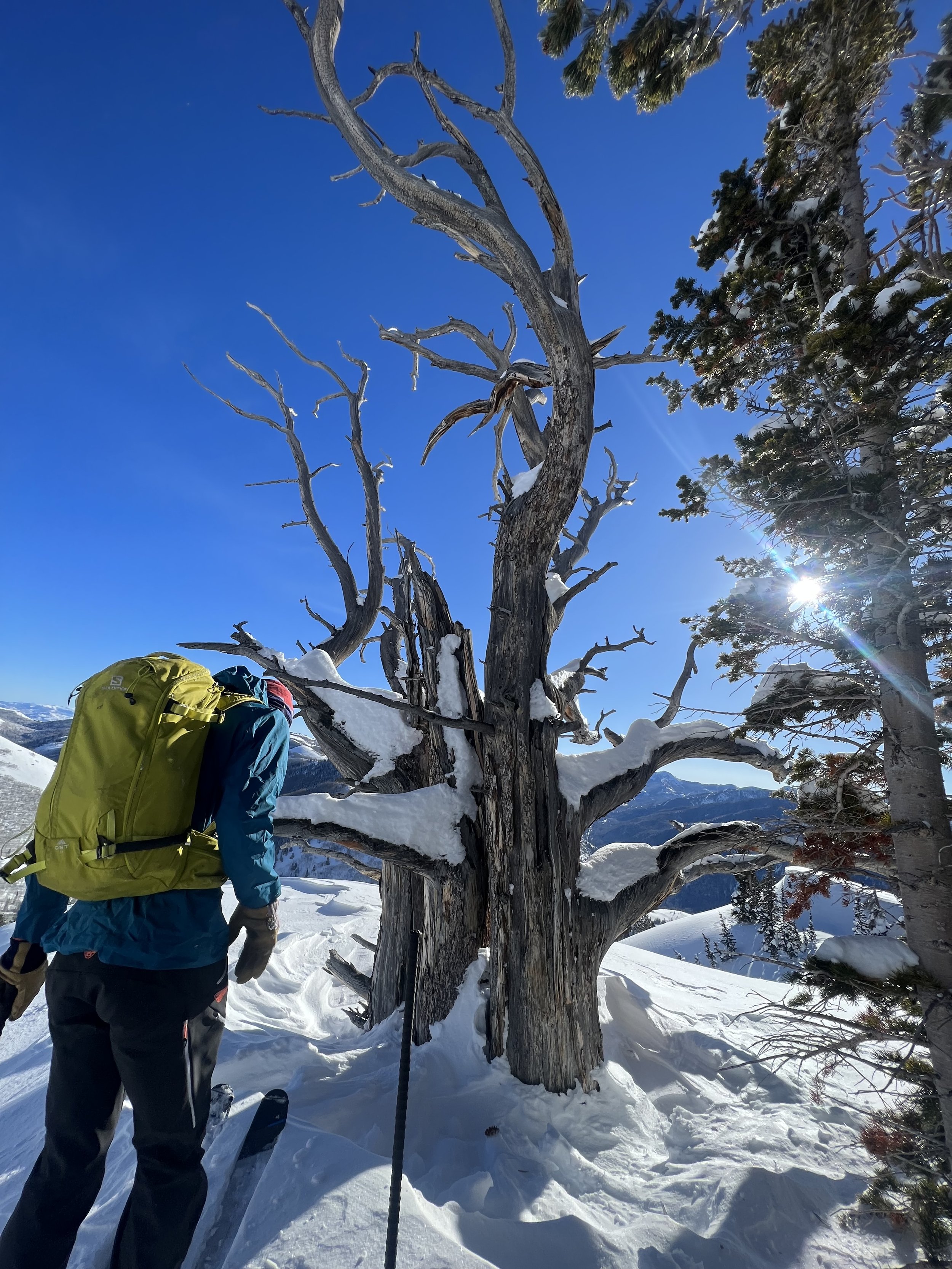
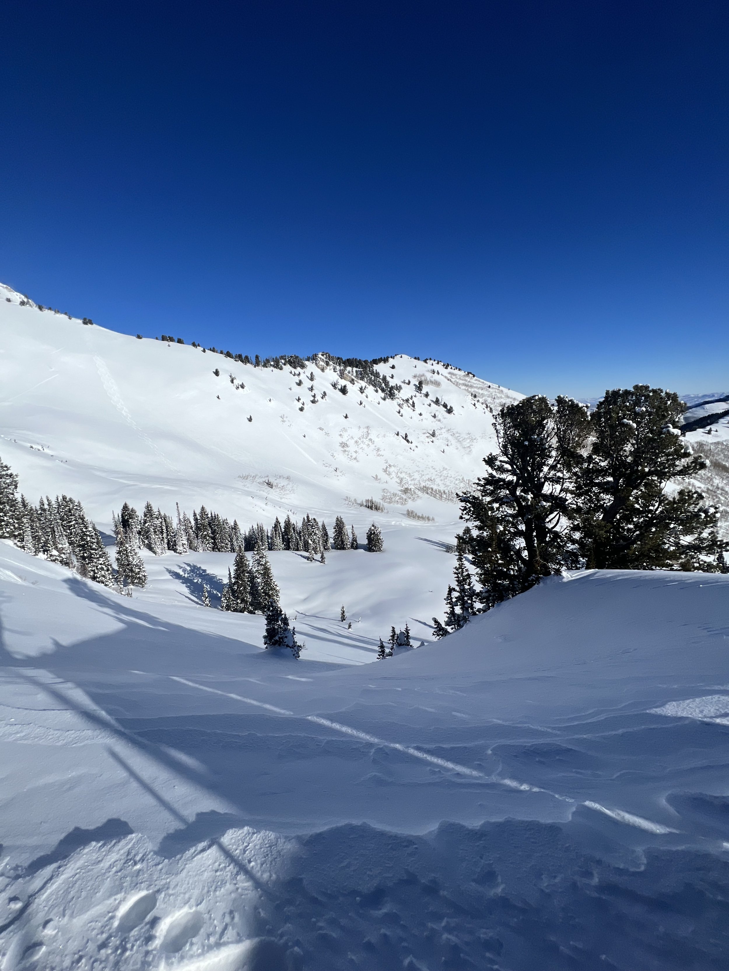
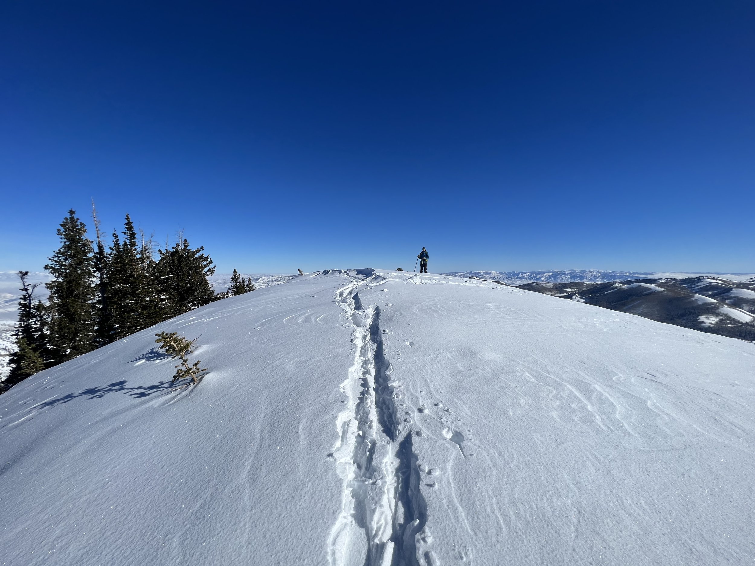
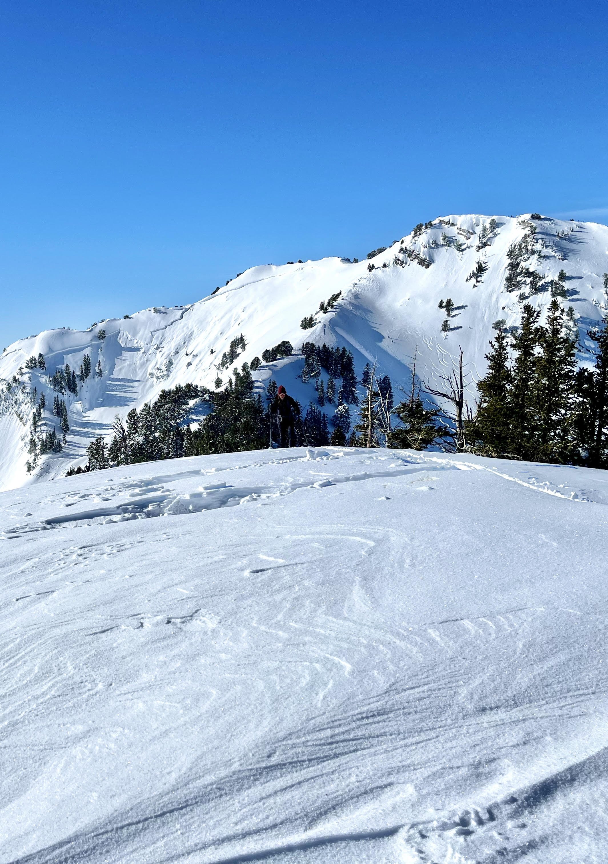
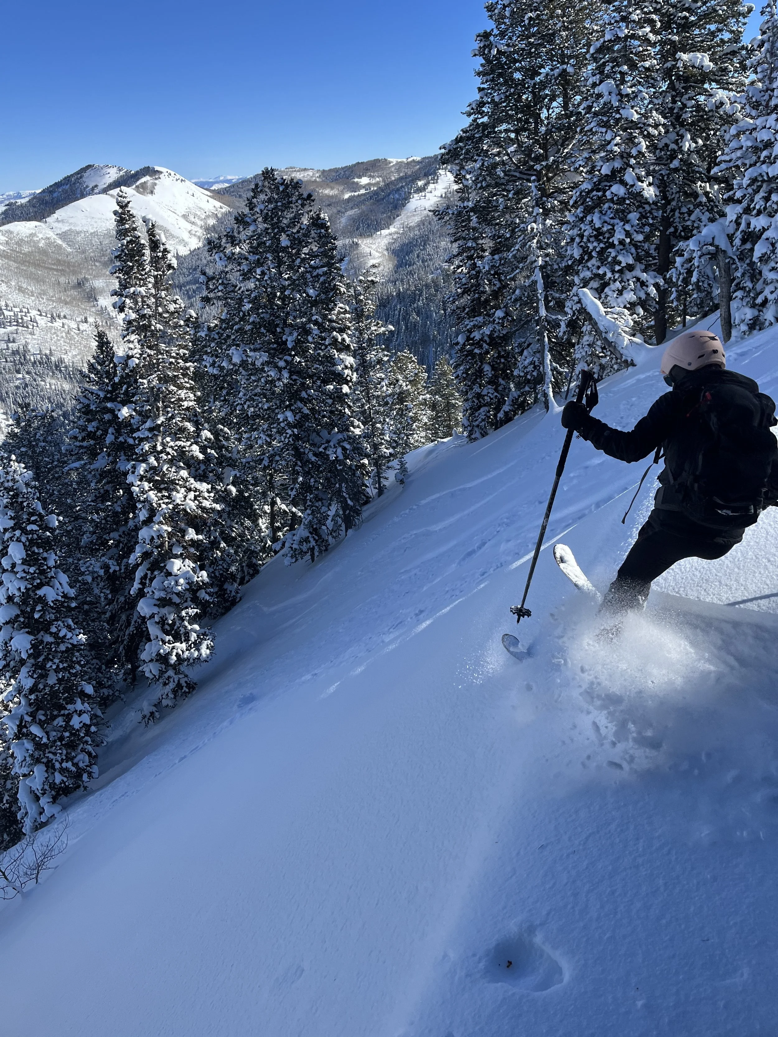
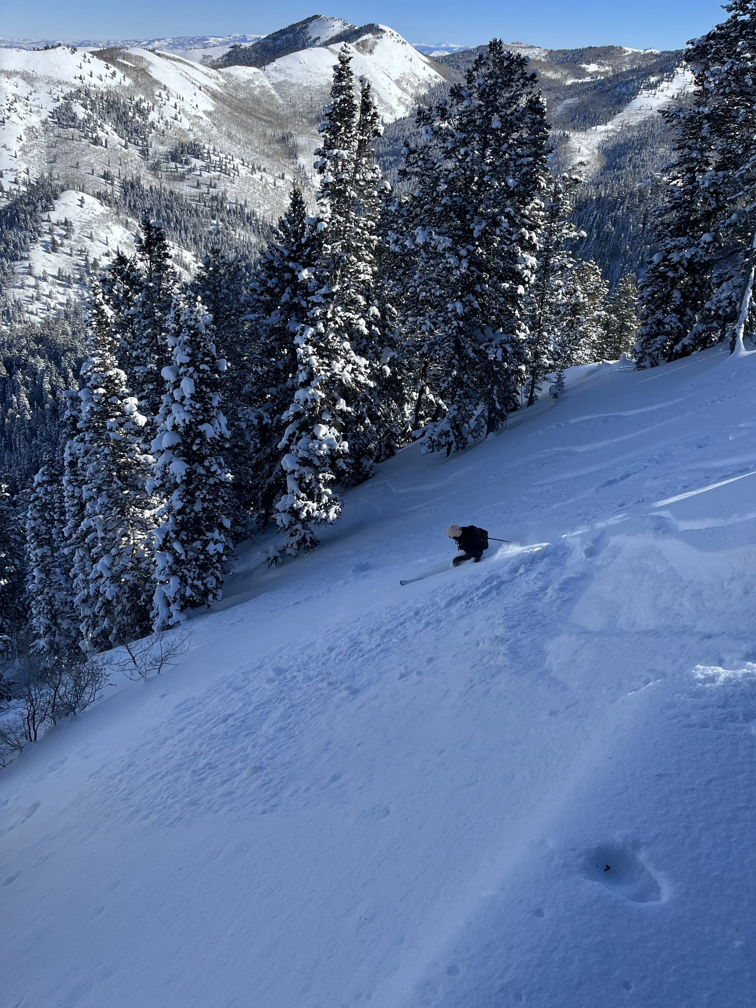
Summit 9 - Reed And Benson Ridge - January 19, 2023
This one’s got a lot going on. First, it’s an arbitrary summit along a ridge with another summit near it that is indistinguishable in elevation difference. Second, there is no summer trail to this ridge, and even the ski lines don’t top out at the true summit, but rather one does/can on the other/northern one. Third, the best run off this ridge, “Benson & Hedges” is without a doubt, not even close to either summit. So in short, summiting both the true highpoint, and the northern highpoint were fine and all, but I’ll probably never stand atop them again—and now I wonder, how many other people actually have?
Let’s rewind a little.
We started this tour with the very first minutes of morning light, around 7:30am. I refreshed my beacon batteries as we left, and our intended route would take us up Days Fork, then up to Reed And Benson Ridge for the summit tag(s), a ski back down the along the ridge to check conditions of “Benson & Hedges,” and then out Mill D to the Cardiff parking lot where we would hitch back to Spruces. It was chilly, maybe low double digits. The skinner was in, and to our surprise it looked like it was only from the previous day. We got pretty excited this could mean “Benson & Hedges” was still in excellent condition.
We flew up Days, only stopping for a fraction of a minute here and there to flip risers up, or look at odd, dog-shaped footprints in the snow (claws, medium stride, followed the skin track, maybe a large fox?). Keenan swapped places at the top of Chicken Shit Ridge to break trail along the final section, in order to get us to our true highpoint of Reed And Benson Ridge. It was a short deviation, but there were some suspect aspects to this like the sheer cliff on the other side, and Keenan has a quite a lot more experience than I do when it comes to understanding what’s not visible. Nonetheless, we summited at 9:27am, kept the skins on and flipped around to meet the track again, and scoot over to the other highpoint along the ridge. This little summit sits atop the popular “Days Draw,” and when you’re standing on top, you really cannot tell if it’s shorter in elevation than the true summit. I’m glad we did both.
A fast changeover and we were off—down the ridge, heading north, following some tracks to the opening of “Benson & Hedges” couloir made famous by "a little book called, “The Chuting Gallery.”
I’ve never skied a couloir or chute before, but one look down that baby was all I needed.
The sketchiest bit was just picking your way around rocks and trees to just get to where you can actually enter the couloir. Once you get past those, there are maybe 3ft of side stepping on shitty, scraped out snow, and then you’re in it. We sure lucked out with conditions, too. It looked like 2 people had skied it the day before, so there was still plenty of fresh, deep snow left. Keenan went first, stopping part way. Then I followed, trying out jump turns for the first real time. Was it glamorous? No. Did I fall? Once. But I turned my way down that baby as best as I could, taking tips from Keenan on how to shift my weight and move my skis a little better here and there, and before I knew it, we were out on the apron. What a hoot! We popped over to the right side of the apron where there were no tracks, and gleefully carved our way down to the gully letting out hoots and hollers between mouthfuls of powder. It was absolutely one for the memory bank!
A quick zip down the Mill D skin track and we were on our way home by 10:30.
Images below: Keenan just below the true summit/highpoint of the ridge, Keenan on the summit/highpoint, selfie for proof that I was also there with Kessler in the background, Keenan on top of the other highpoint (we hit both just for good measure since we had to traverse back anyway), looking north down the ridge where we would traverse to drop into “Benson & Hedges,” the top looking down into “Benson & Hedges,” me shredding the couloir x2
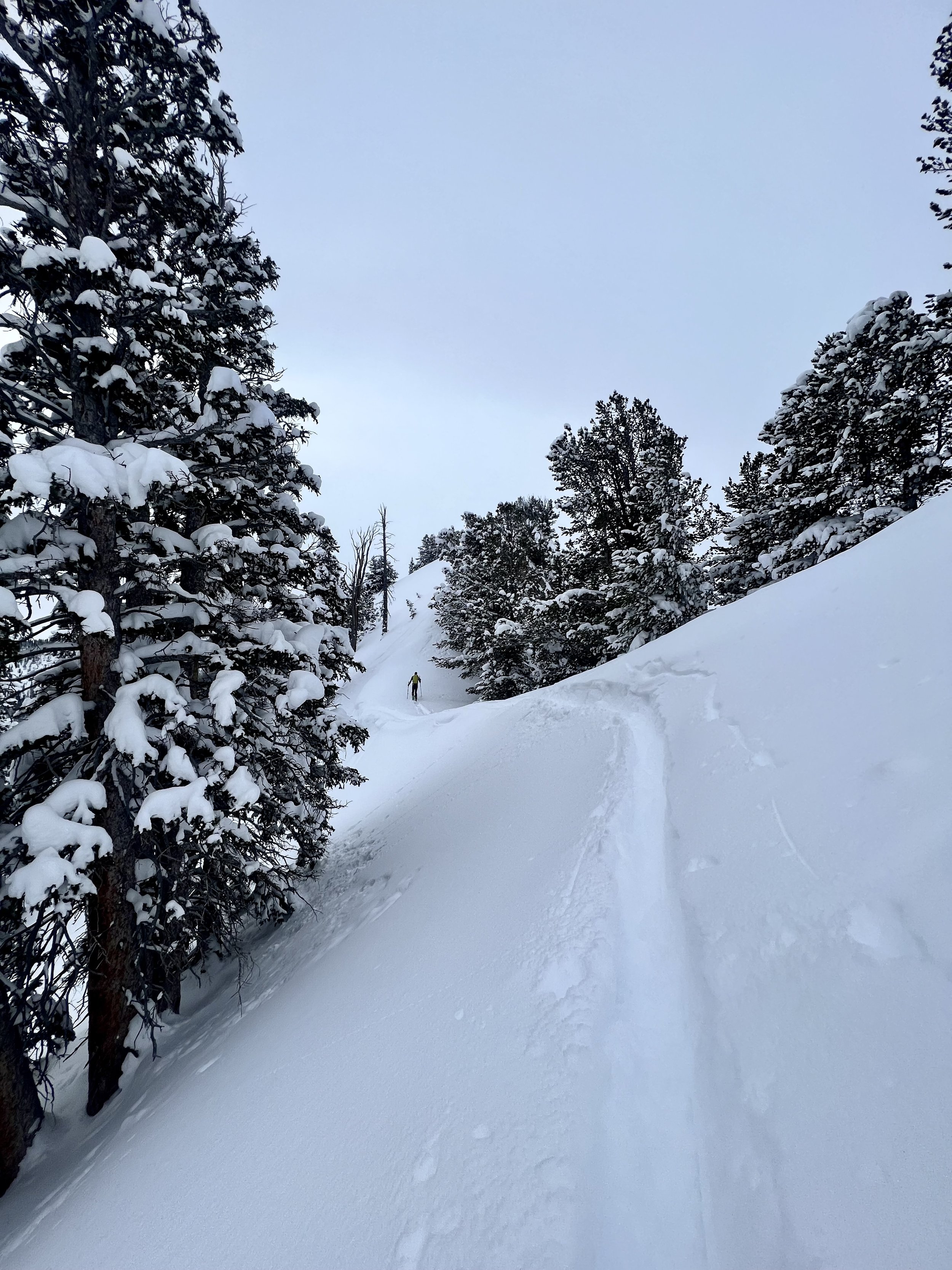
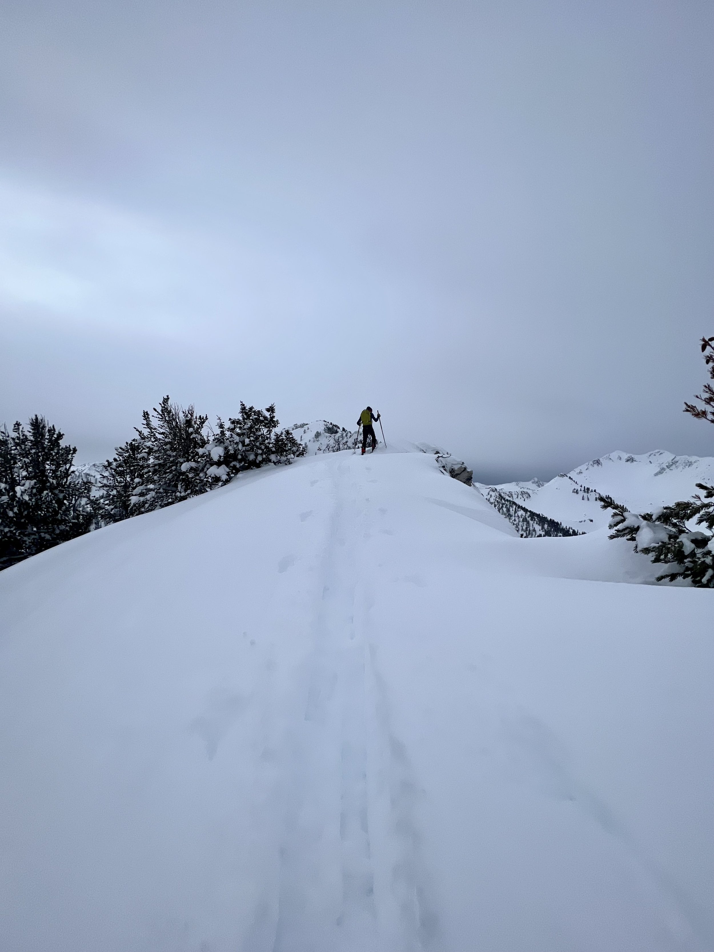
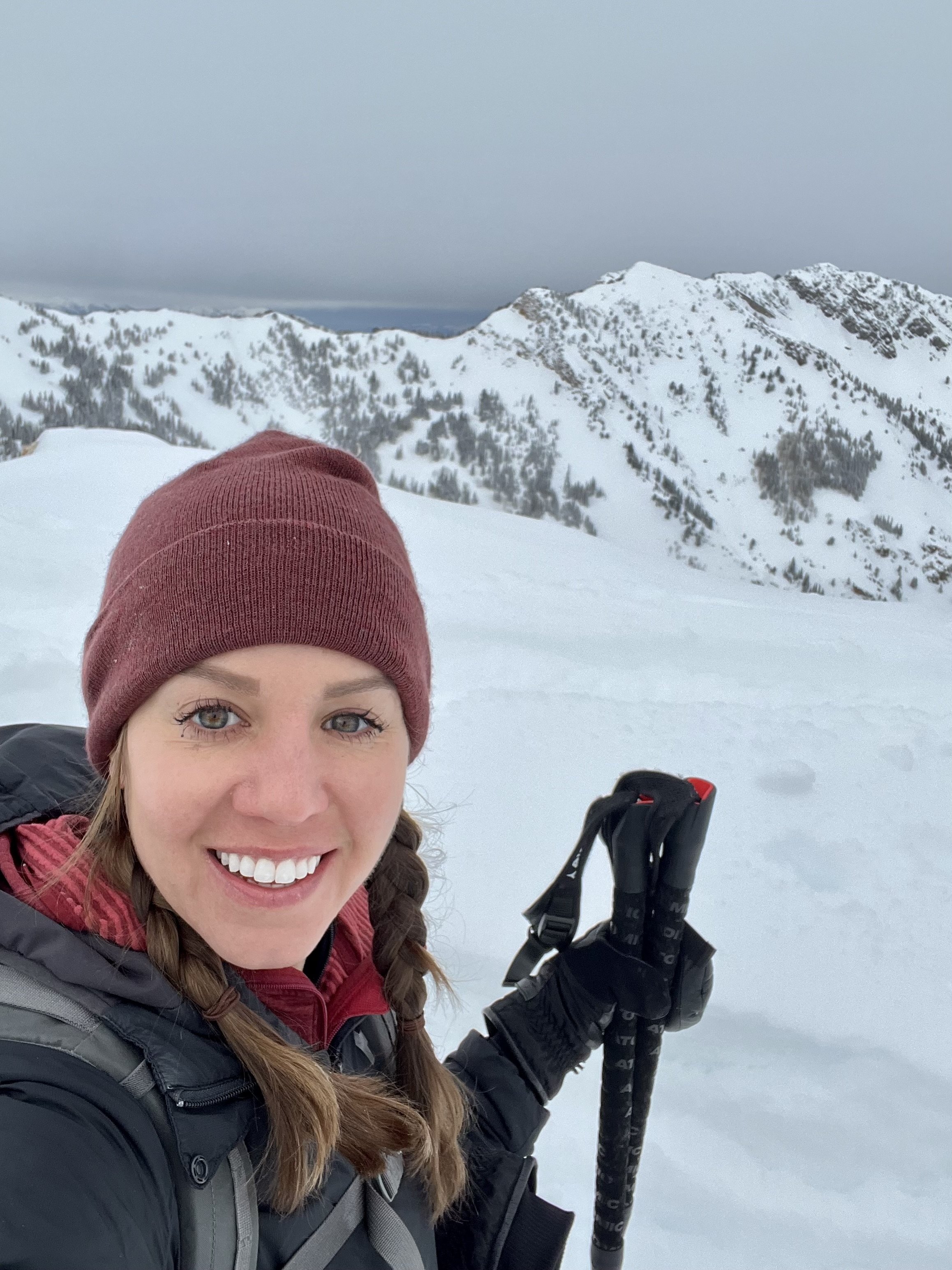
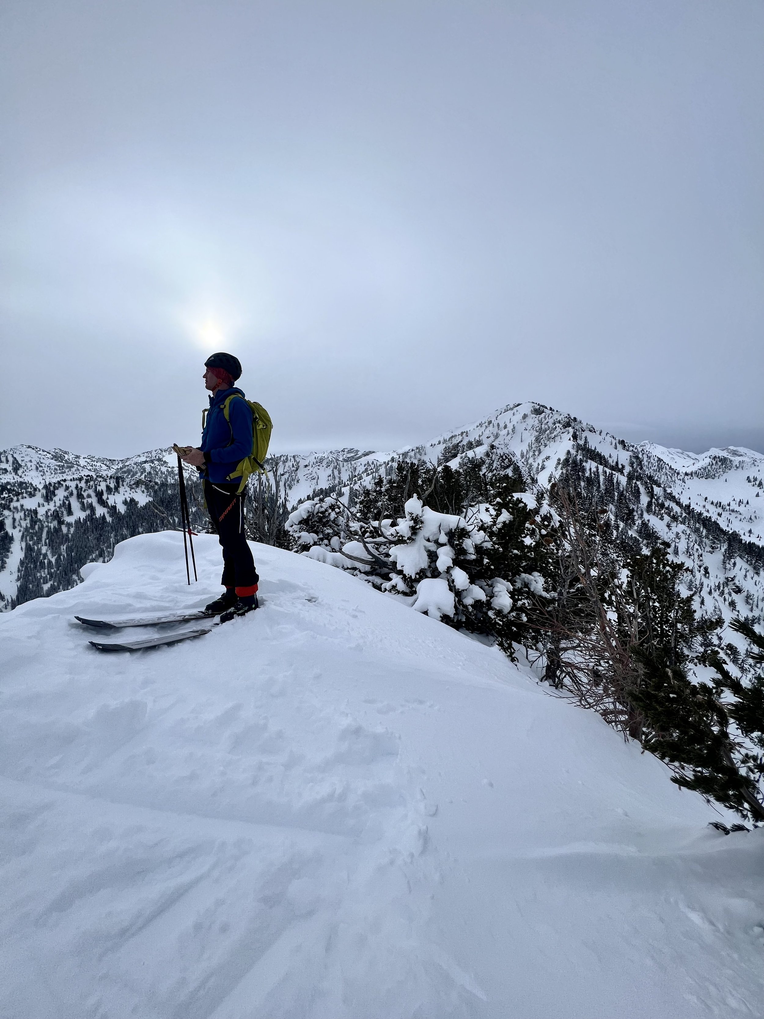
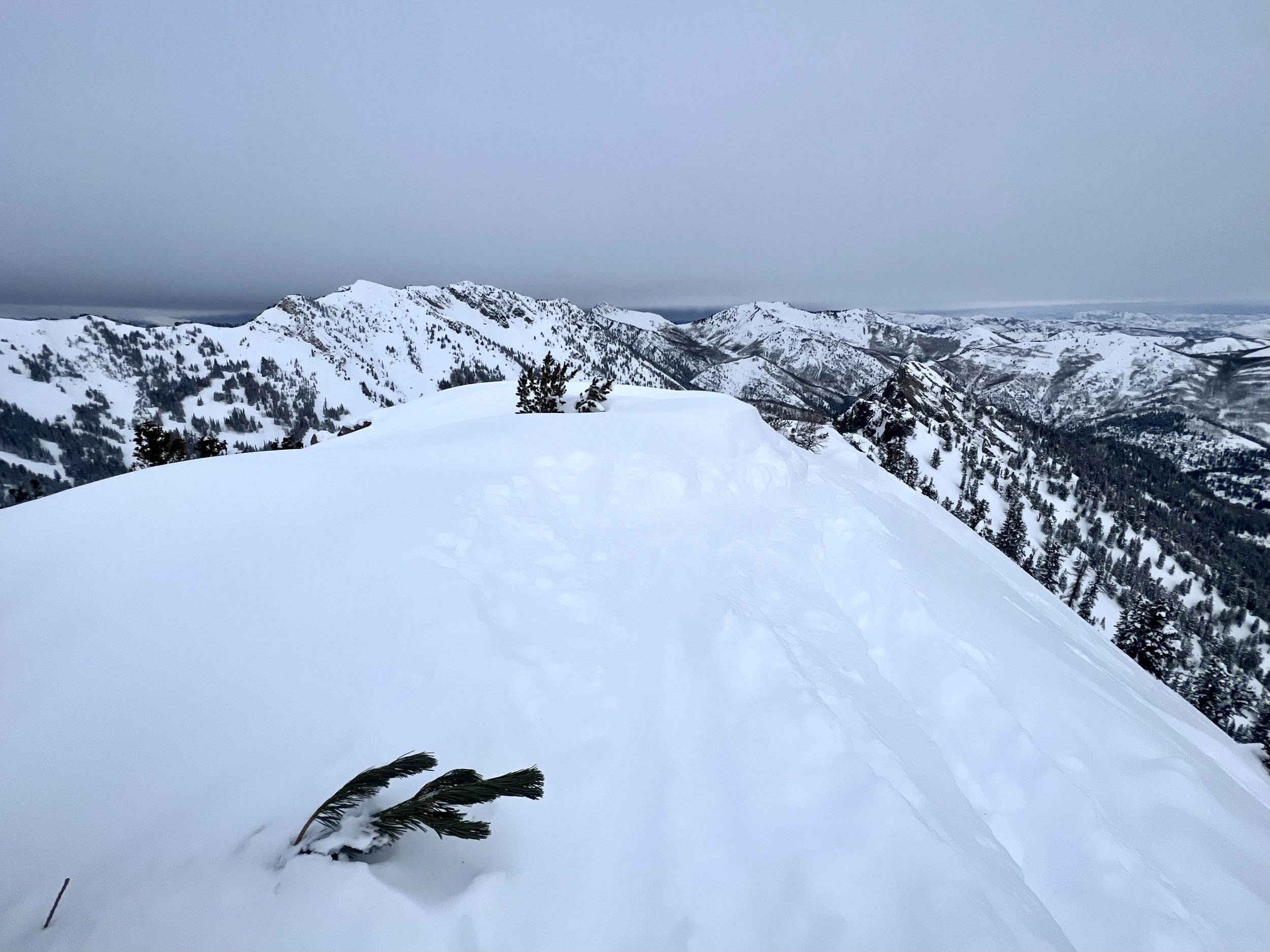
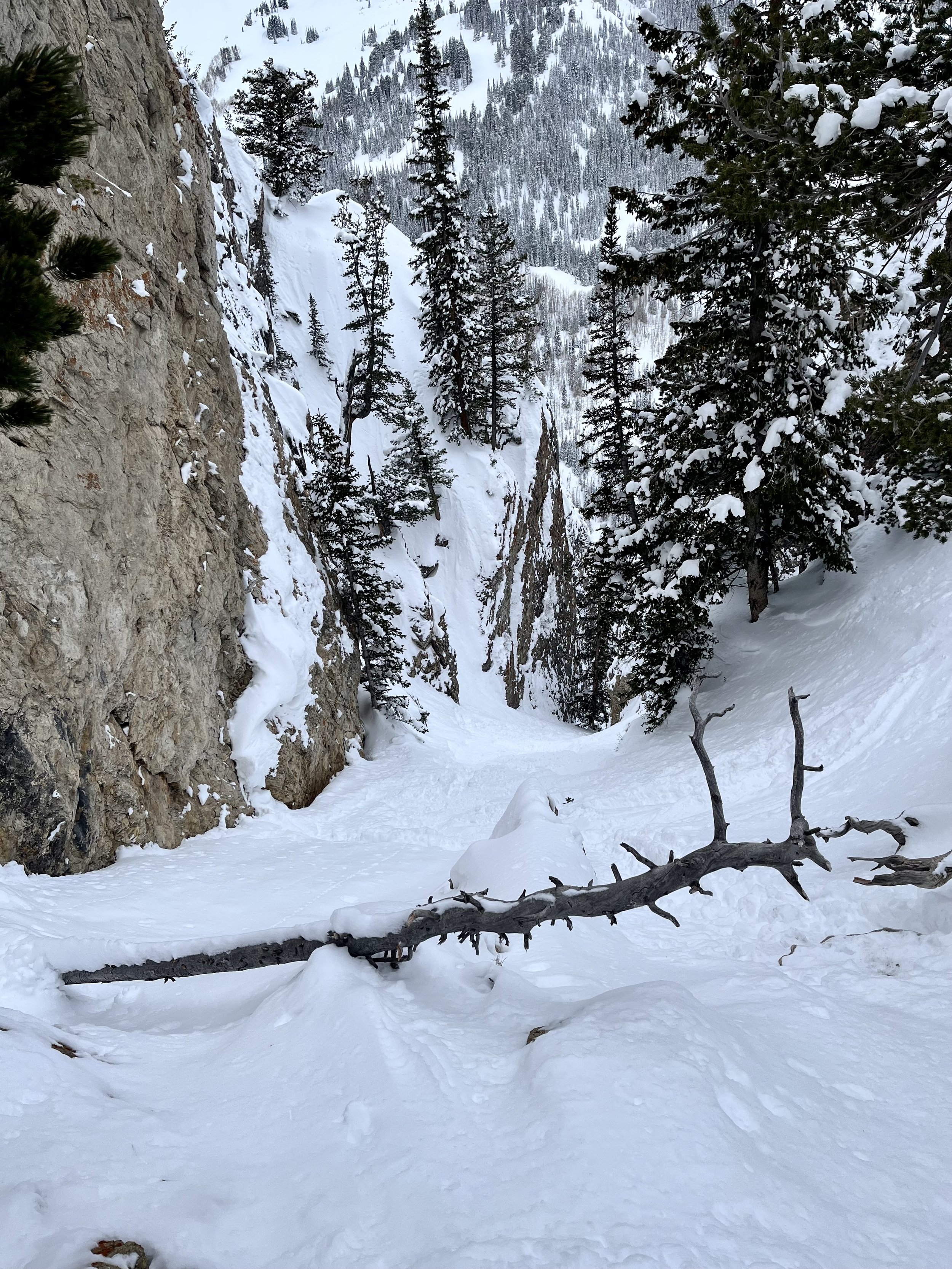
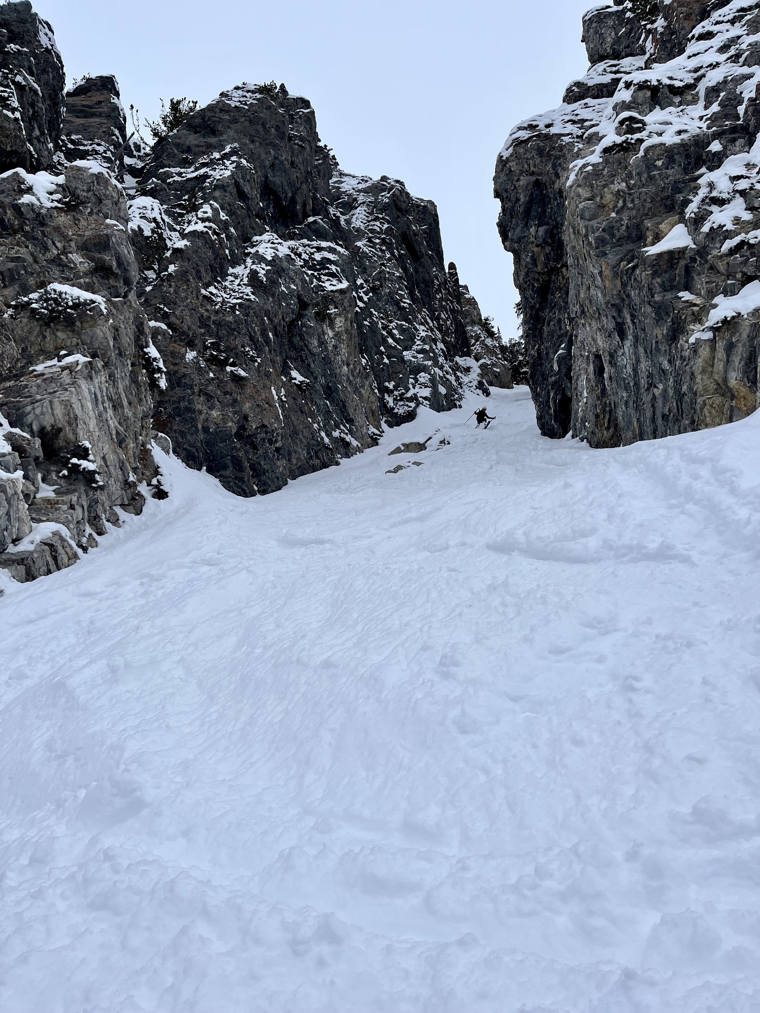
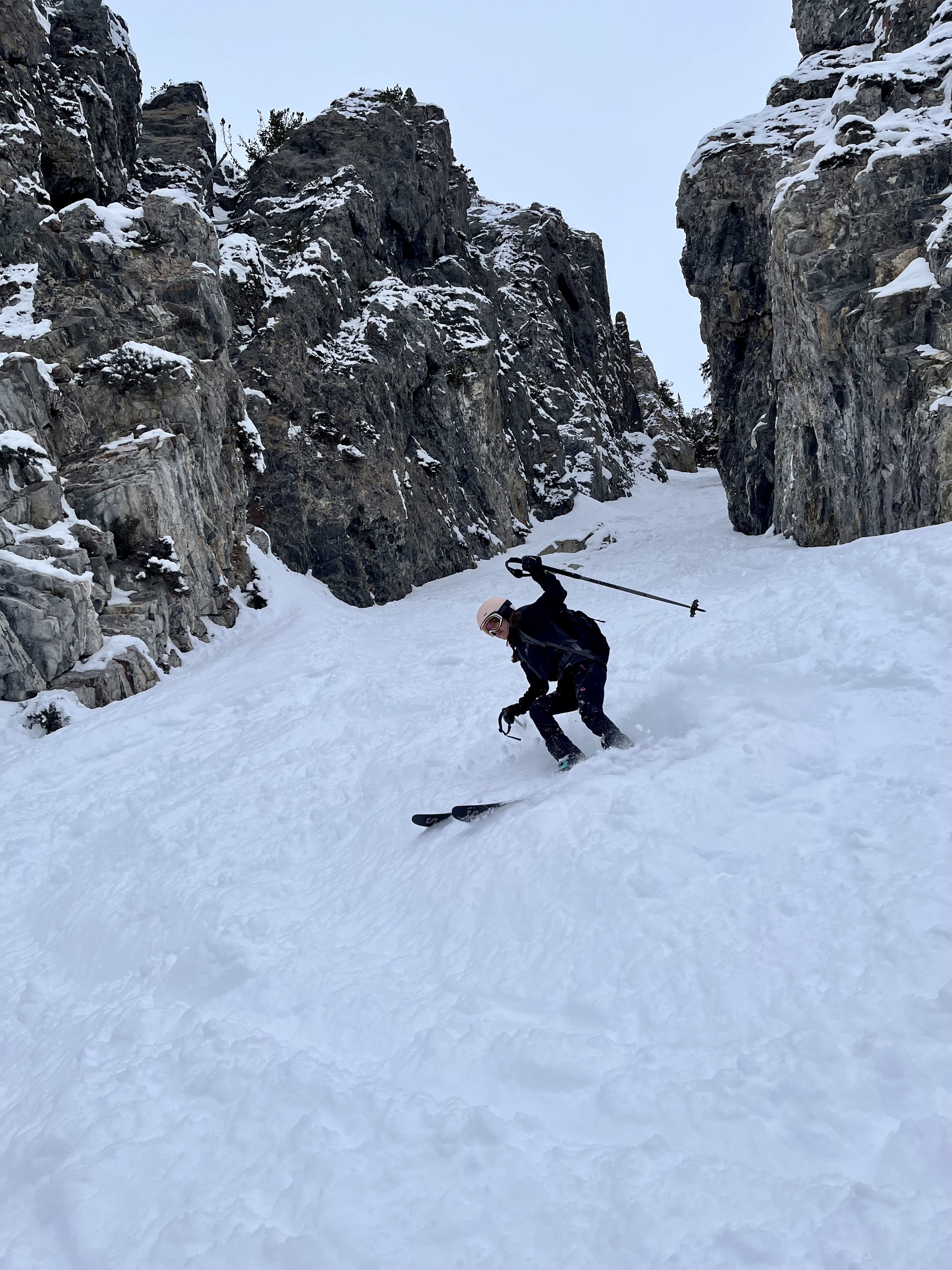
Summit 8 - Patsy Marley - January 18, 2023
And now for my next trick: The after work summit.
Today was DEEP! Wow! We’re talking face shots after face shots, pure powdery bliss. I had to start work early just to ensure I could get everything I needed to done with enough daylight left for a quickie. Thank goodness it all went to plan because Patsy DELIVERED!
First off, if you’ve skied backcountry in the Wasatch, there’s a good chance you’ve skied Patsy Marley. It’s higher in elevation so the snow stays relatively cold, it offers both low angle trees, and some more steep (yet friendly) terrain. It’s well trafficked, and often visited by guides with clients when the avy danger is a bit sketchy. But, let’s be clear, this is the backcountry, there are traps on either side, sluffing and buried weak layers have been known to cause real danger here. I’ve visited this area before, and had some wits about me when choosing the line today.
Anyhow—I got to the high lot at Alta and started my skin with good pace. I was concerned with time and it was cold enough that anything less than brisk felt uncomfortable. The fastest way to get up Patsy Marley is definitely to skin around into Grizzly Gulch, contrary to what some may think when looking at the direct ridge route (you can ask the guy who I beat to the summit, who was by my account, much more fit). As I climbed higher through the meadow, and to the first ridge, I made note of the conditions on the northwest run, “Patsy Marley Trees.” Some skiers dropped in from just below the summit and there were already a few tracks, it all looked okay.
Once I hit the final push to the top, I checked the depth of the snow and variables a little more closely, and got a good indication that the east face would likely be good to go as well, so long as the sun hadn’t cooked it too much.
I summited Patsy Marley in roughly 1 hour, with a perfect break in the clouds. It was divine. A friendly “howdy” was exchanged with the aforementioned skier who took the ridge approach, and a quick changeover meant it was time to shred!
The first drop down from the summit to get to the top of the east face where “Microwave” is gave me great signs that the snow was not crusted, but in fact—BLOWER. I followed some tracks, sticking to the right side and just floated down the mountain. We’re talking cold smoke, untouched, perfection. Turn after turn. I’ve skied Patsy Marley before, but damn, never like that. In fact, that might have been one of the best runs I’ve had so far in my very brief foray into skiing.
And while we’re on the subject of skiing, what’s with the ski elitist ‘tudes around here? As a professional, yes, PROFESSIONAL athlete, I’ve rarely encountered an outdoor culture like skiing. It is rife with so many crusty old guys offloading their privileged opinions as fact, and possibly worse, young guns who hide behind fake social media profiles to sling insults about other’s ability. I just want to know one thing, who hurt you? I’m here for the fun. I’m here to push my own boundaries, and you know how you learn to ski? You ski. If my novice form displeases you, uhm, then stop paying attention? Cause I’m just gonna keep going, and so will all of the other people you dislike. I hope the ultrarunning community catches up with the ski community soon and rubs off some of their sublime charm, and acceptance of others, cause damn—it’s needed. The outdoors are for everyone. All skills welcome. If you want to ski with better technique, then good for you. If you want to mosey on over to running and run with terrible form, you know what? You go Glen Coco! I will welcome you without any judgement. Ain’t nobody got time for that <3
Images below: First ridge between Grizzly Gulch and Patsy Marley, Another ridge shot looking at Wolverine Summit, Just below the summit of Patsy Marley looking up at the summit, Atop the summit looking East down Little Cottonwood Canyon, Yours truly ;)
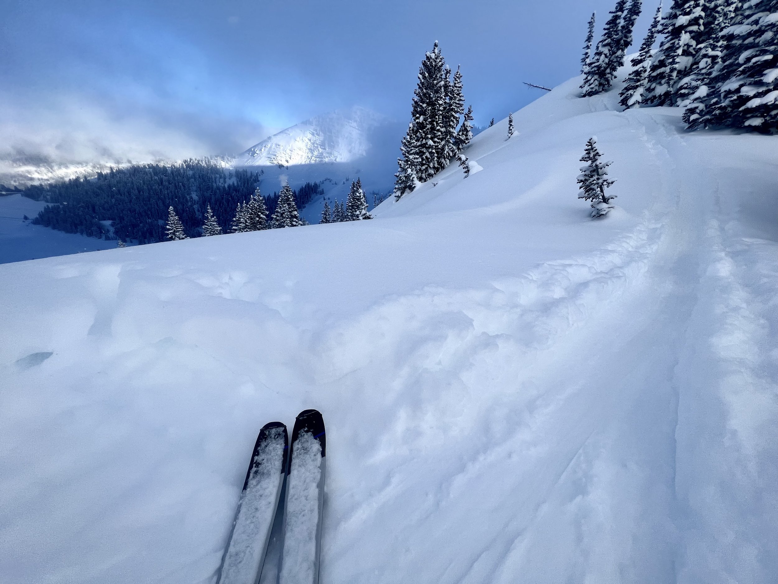
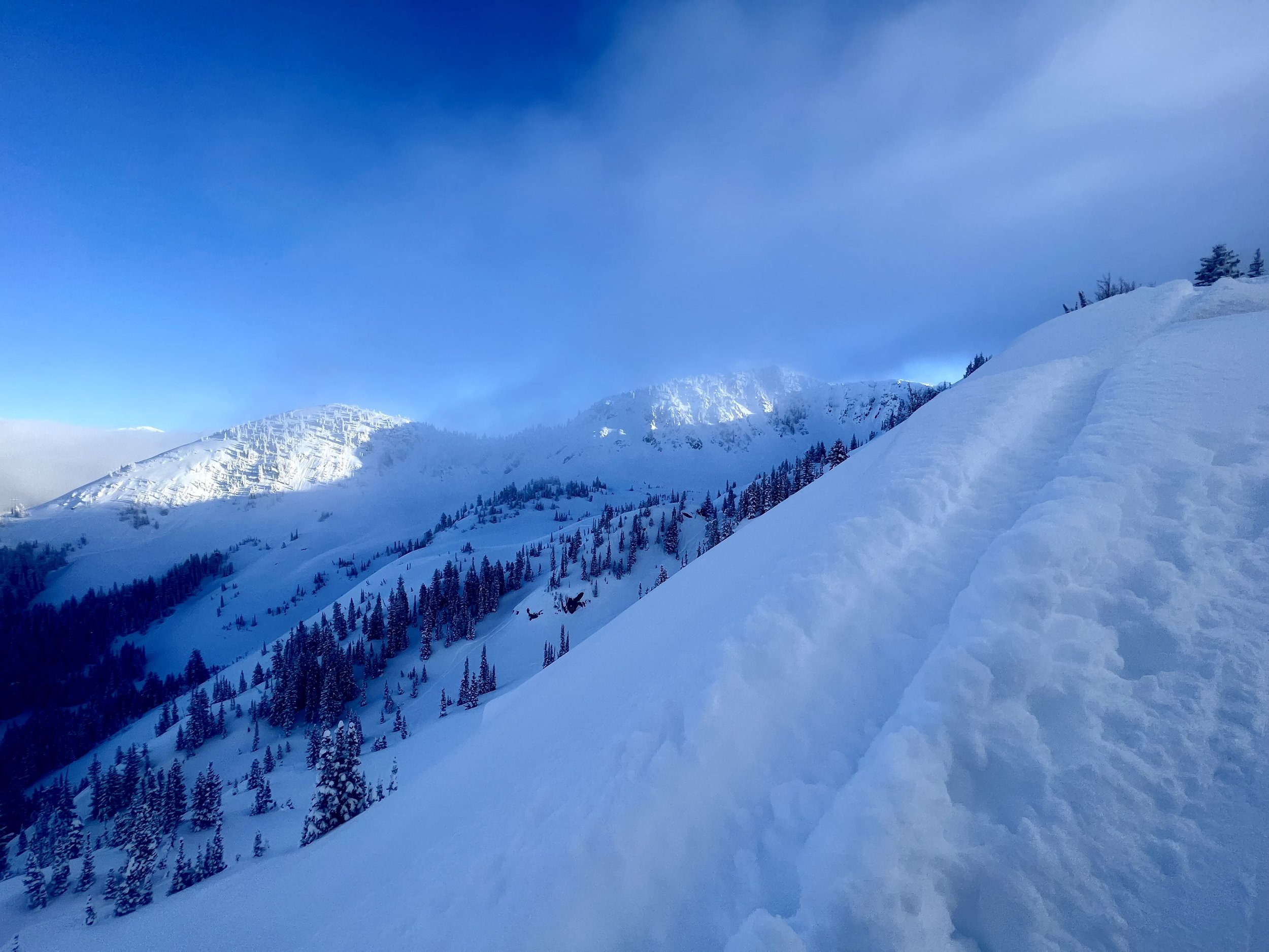
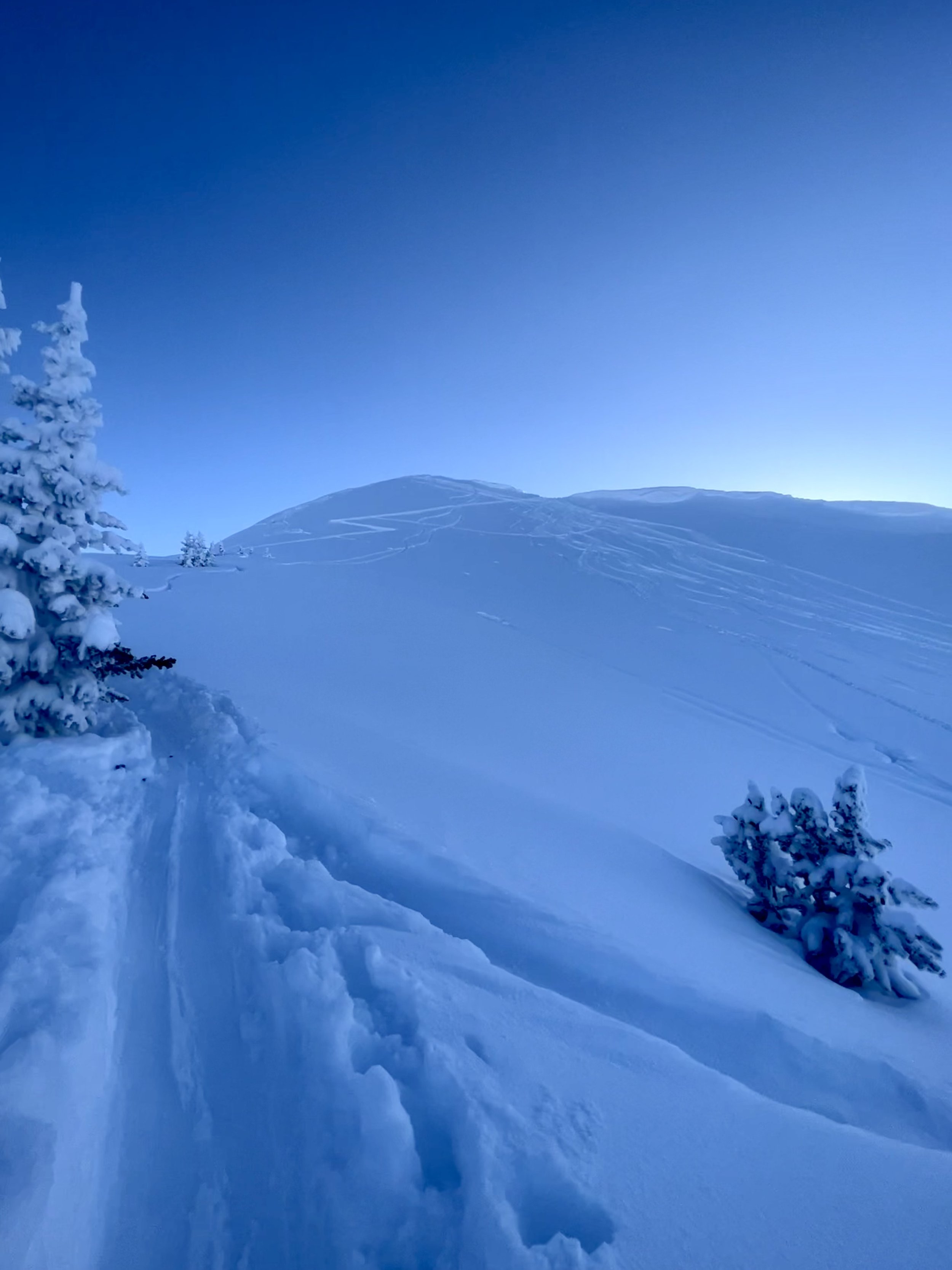
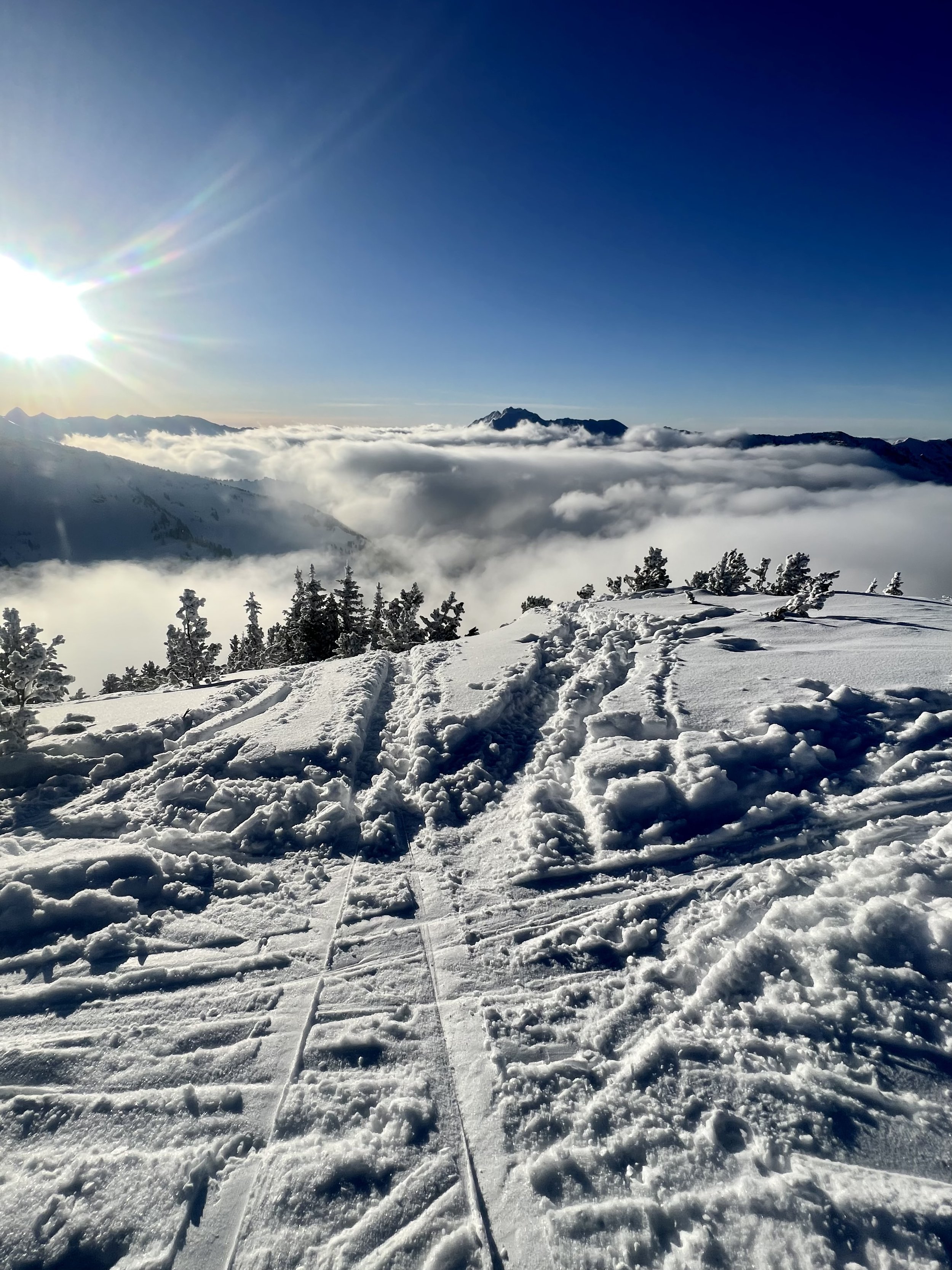
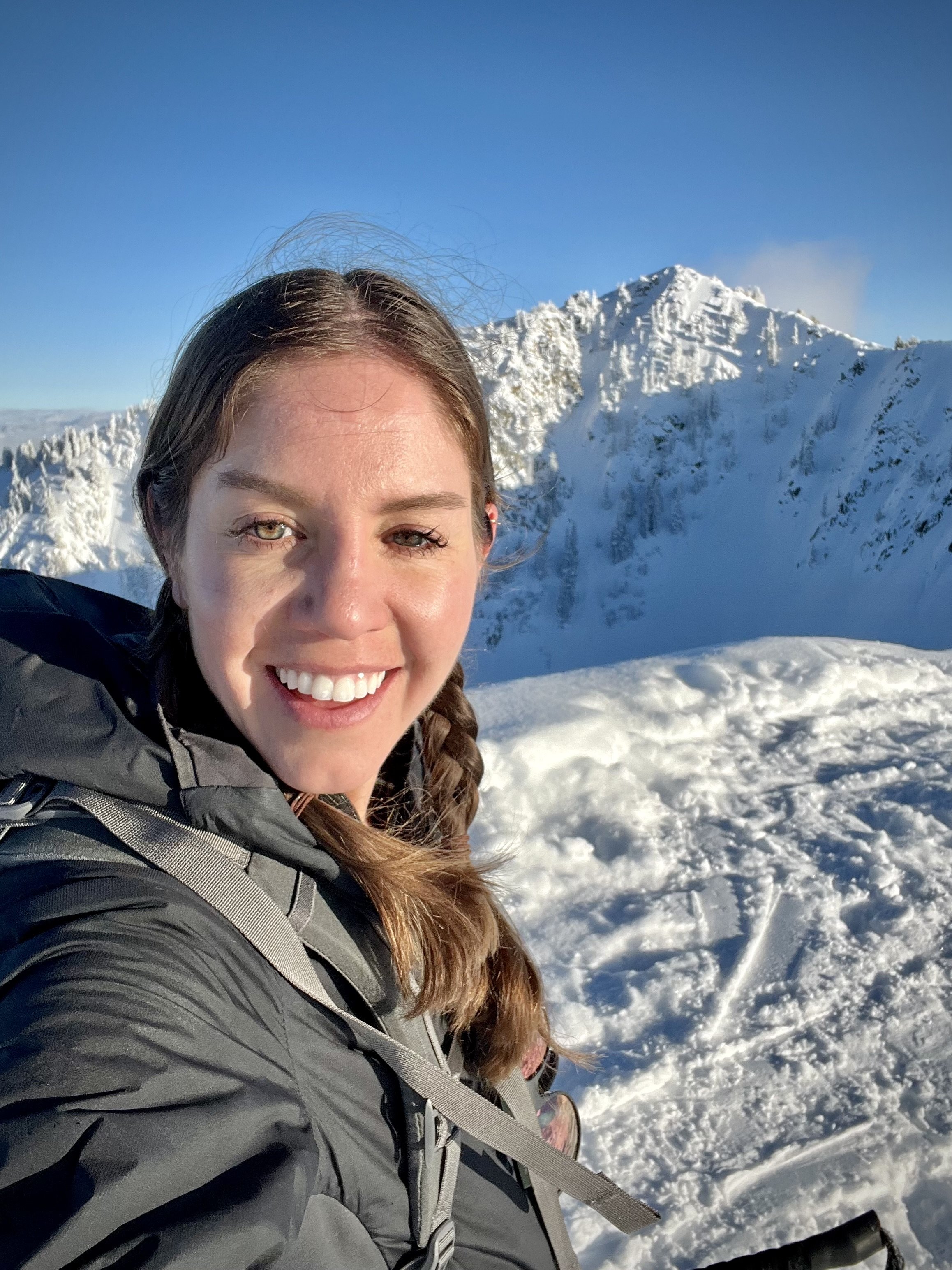
Summit 7 - The Cone - January 17, 2023
The before work special. The Cone is almost entirely a winter destination. I don’t think there’s a summer trail, or at least not one that I’ve seen from neighboring Bear Trap or Desolation Lake areas. Nonetheless, the clear knoll of sorts has some great views and good bang for the buck if you need something relatively safe. I didn’t have much time today and with a nice fresh coat of pow, I figured a quickie before work would get this one done.
I started solo, just after 8am. The forecast called for snow, but I must have lucked out because the whole 1 hour and 2 minutes it took to complete the roundtrip were in great sunny condition. (Also good news, because I managed to forget my jacket and only had a light shell in my pack.) The skin track was in both up Bear Trap Canyon, and along the direct shoulder of the Cone. I passed a few friendly folks, and managed to hit the summit in 45 or so minutes. A personal best for this one!
There were quite a few other skiers on the ridge and summit, which was predictable and comforting given I was soloing today. We chatted about runs, and I decided the dangers were low enough to go for the southeast face—a generously open slope pretty much all the way back down to the Bear Trap skinner. I snapped some pics for proof, and then did my best to change over as quickly as possible (which yielded some compliments from my fellow skiers on the summit—thanks friends, I don’t think you knew how much I needed that today). Then I was off! There were one set of tracks I could see from today, so the whole run was knee deep, blower pow the whole way down! What a fun one!
Images below: On the skinner heading up the direct shoulder looking back to Big Cottonwood Canyon, just below the Cone looking at it’s cool and clear dome, the view from the summit looking down canyon at Gobbler’s and Raymond, me cheesin’!
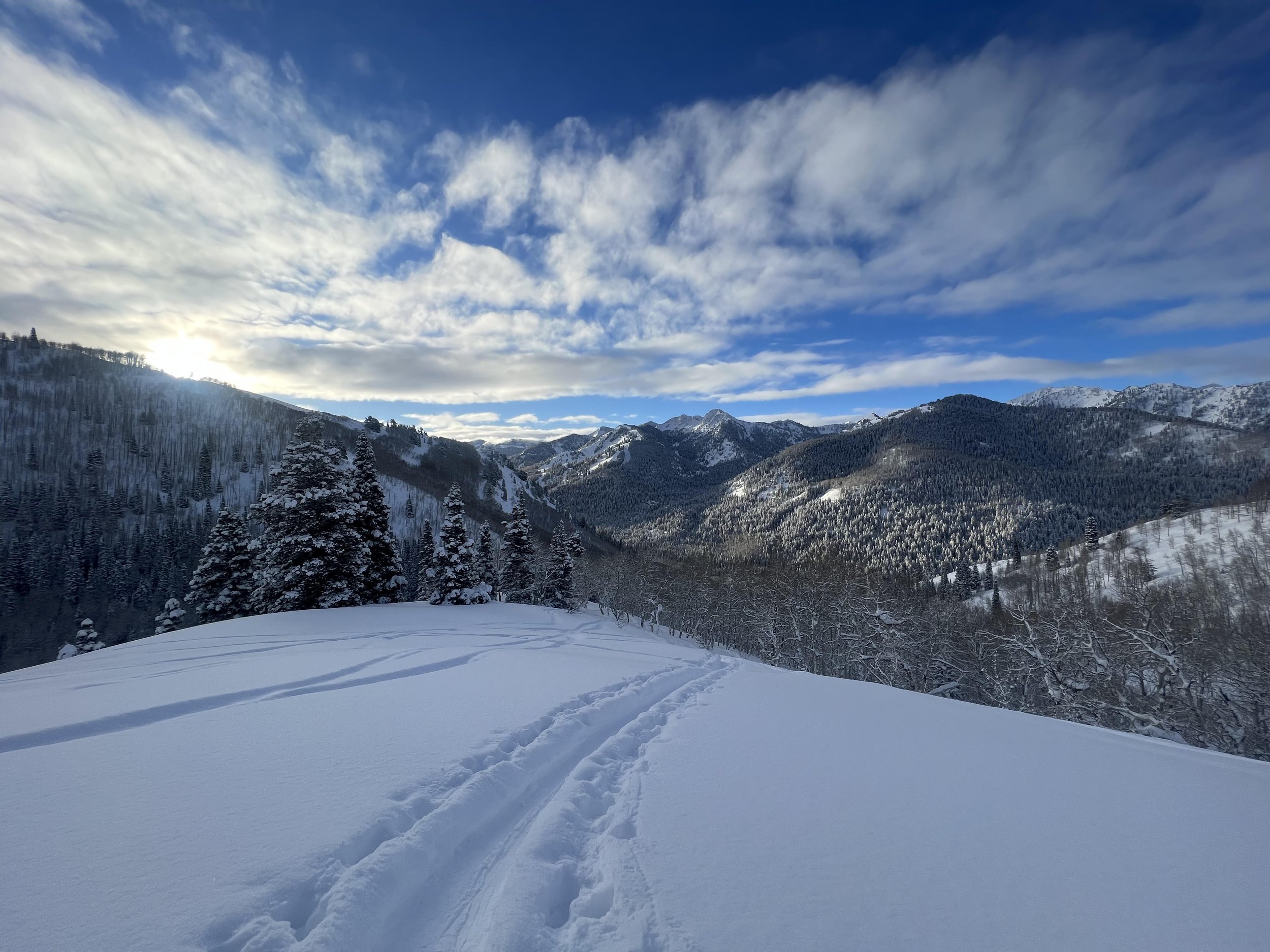
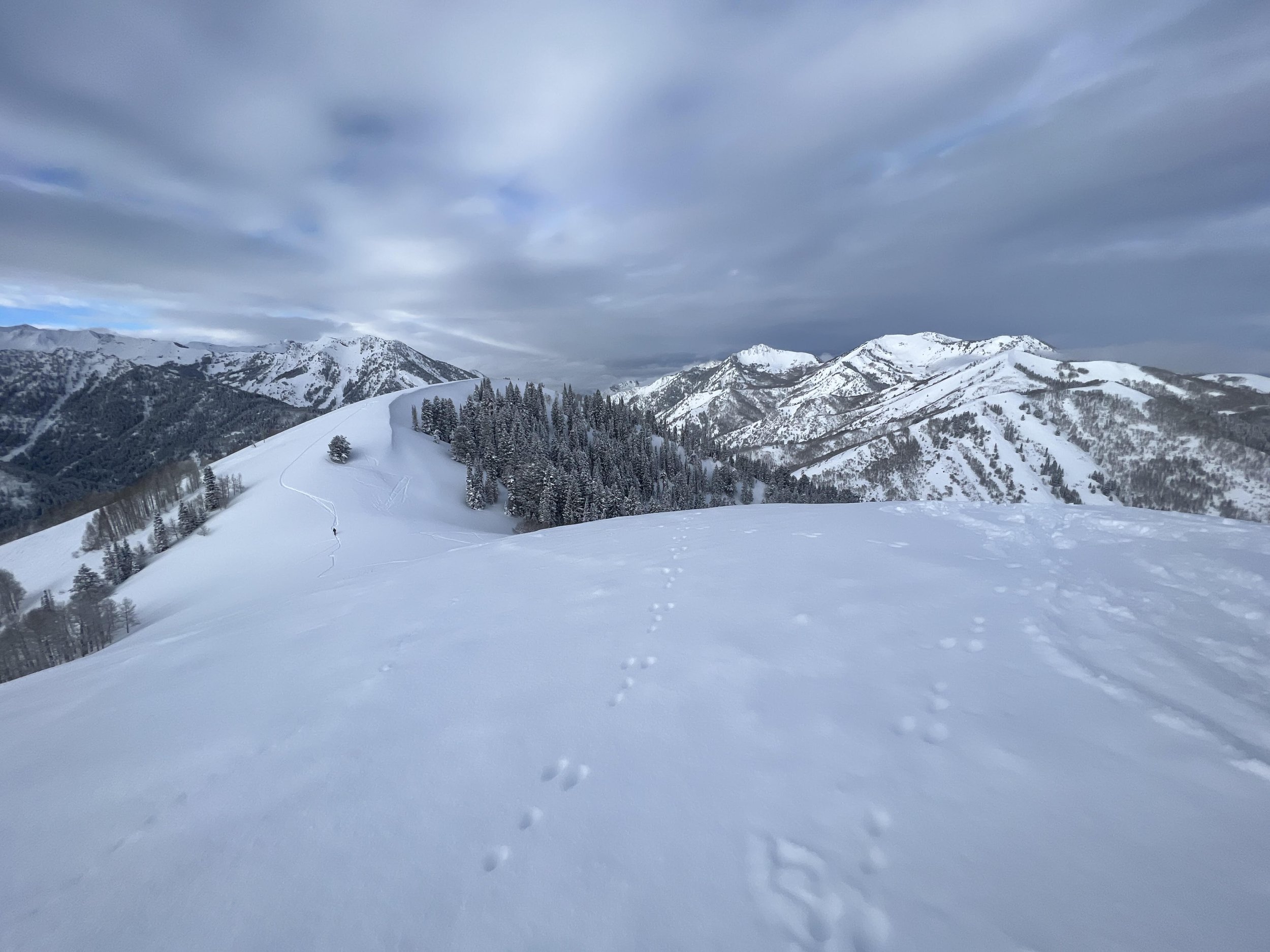
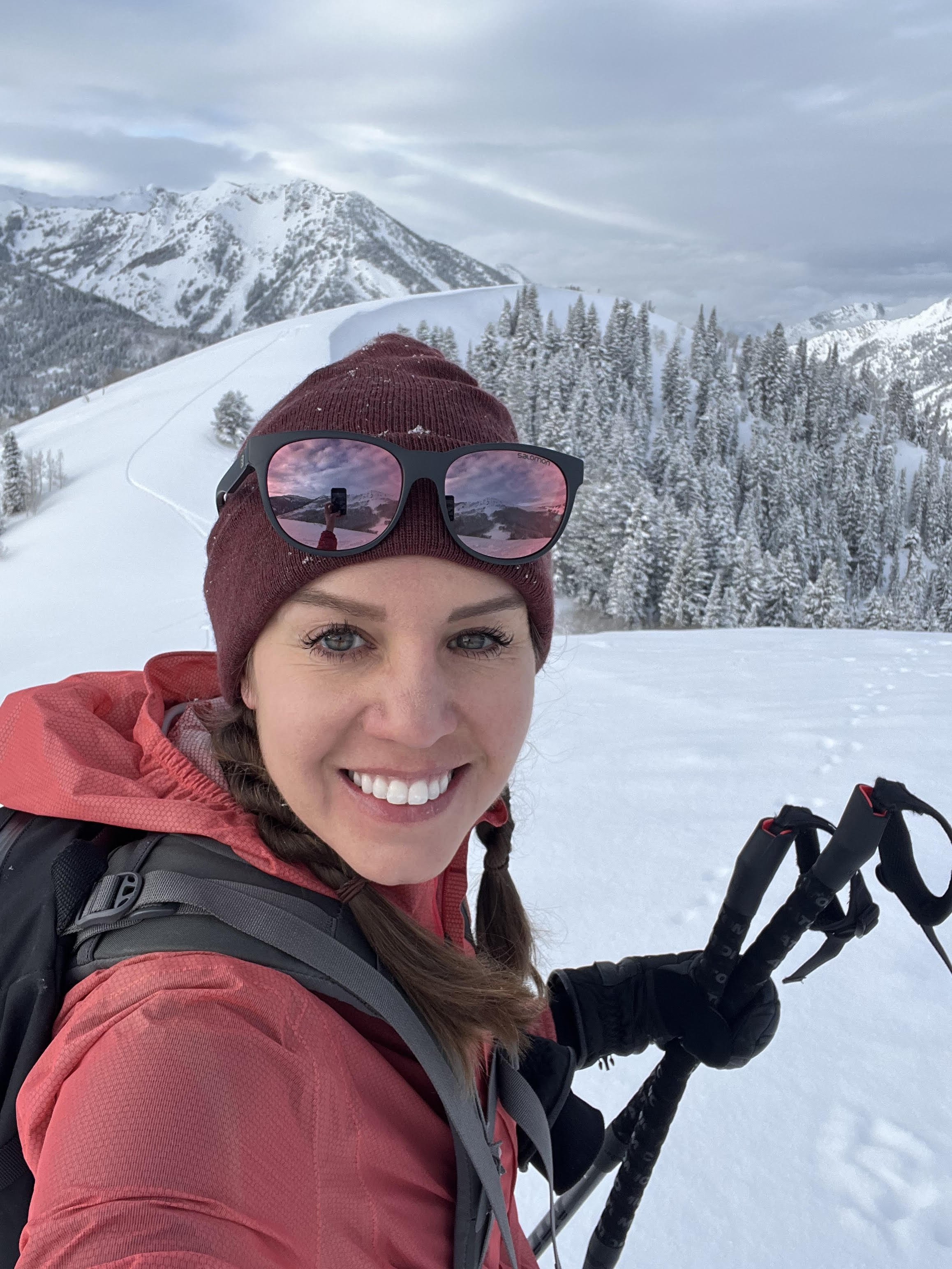
Summits 2-6 - Tom’s Hill + Reynolds Peak + soldier Peak + Big WaTer Peak + Little Water Peak - January 12, 2023
Today was the day for a Mill D North Fork grab bag of summits. With an avalanche forecast making upper elevations and steep terrain unappealing, we decided to go for a big loop in low angle trees and just enjoy the warm, bluebird day.
Keenan, Tanguy, Thomas, and myself loaded our packs with snacks, checked for beeps, and set off around 7:47am toward Tom’s Hill. The skinner was already in place making the trip uphill pretty smooth and chatty. We ripped skins quickly to ski the west aspect back down to the saddle, then changed over with some haste, and began the short trip up to Reynolds Peak. We knew the “East Face,” which is arguably the most fun line off of the summit, was not going to be the line of choice today, so we were quite surprised to see a solo track punching right down the center. Don’t even get me started on how many things are wrong with that.
We crested Reynolds at 9:35, side stepped over the corniced ridge, and then cruised some fun powder down “Reynolds Glades.” Another quick change over, and we were breaking trail up to Soldier Peak before we knew it.
Soldier Peak is a bit more open with runs in all directions—we chose the low angle east face for our line down, partly because it was the most mellow option, but also because it would plop us right back into the skin track where we’d need to be in order to bag Big Water Peak next.
It had warmed up quite a bit by this point in the morning, and the next 2 lines would be some of the best of the day!
We tagged Big Water around 10:58 and moseyed over to check out the conditions on “Fred’s Birthday Run.” With slight wind affected snow on the ridge, we figured it would be okay, and boy was it! Smooth powder all the way to the glades below. We regrouped, slapped our skins on for the last uphill segment of the day, and started breaking trail toward Dog Lake and the sparsely treed summit above known as Little Water Peak.
At 12:40 we summited. We were a little tired, but in excellent spirits nonetheless. We scoped the rollover to the south and sent one skier down first. The snow was definitely a little heavier, but everything appeared to be stable at this slightly higher elevation. One by one, we hooted and hollered all the way down to the trees. The Mill D skinner/luge would ultimately take us back out to the truck, but not without a little moose action! 2 moose decided the middle of the skin track was the perfect spot for a nap, giving us a little jump and chuckle (we’ve encountered these moose many times in this same canyon, we’re well aware of their danger). With some maneuvering in the gully below, we dodged them headed home. Overall, a great day of skiing to bring the summit total to 6/167.
Images below: Atop Tom’s Hill, on the summit of Reynolds Peak, the solo track down the East Face of Reynolds (smh), Tanguy and I on the summit of Soldier Peak, muggin’ on the summit of Big Water Peak with Soldier and Wilson in the background, rime on trees near the top of Little Water Peak, and lastly summit proof from Little Water.
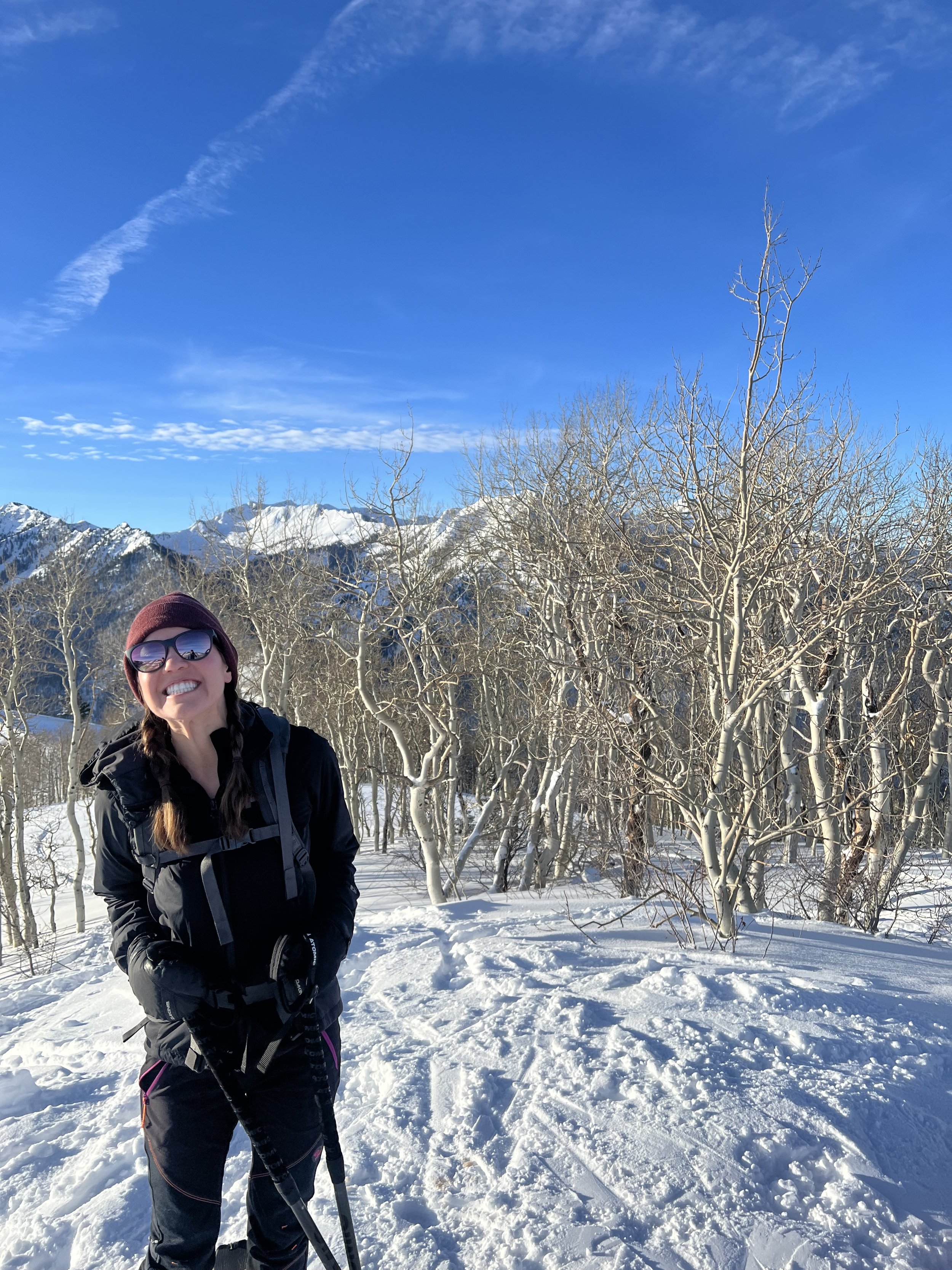
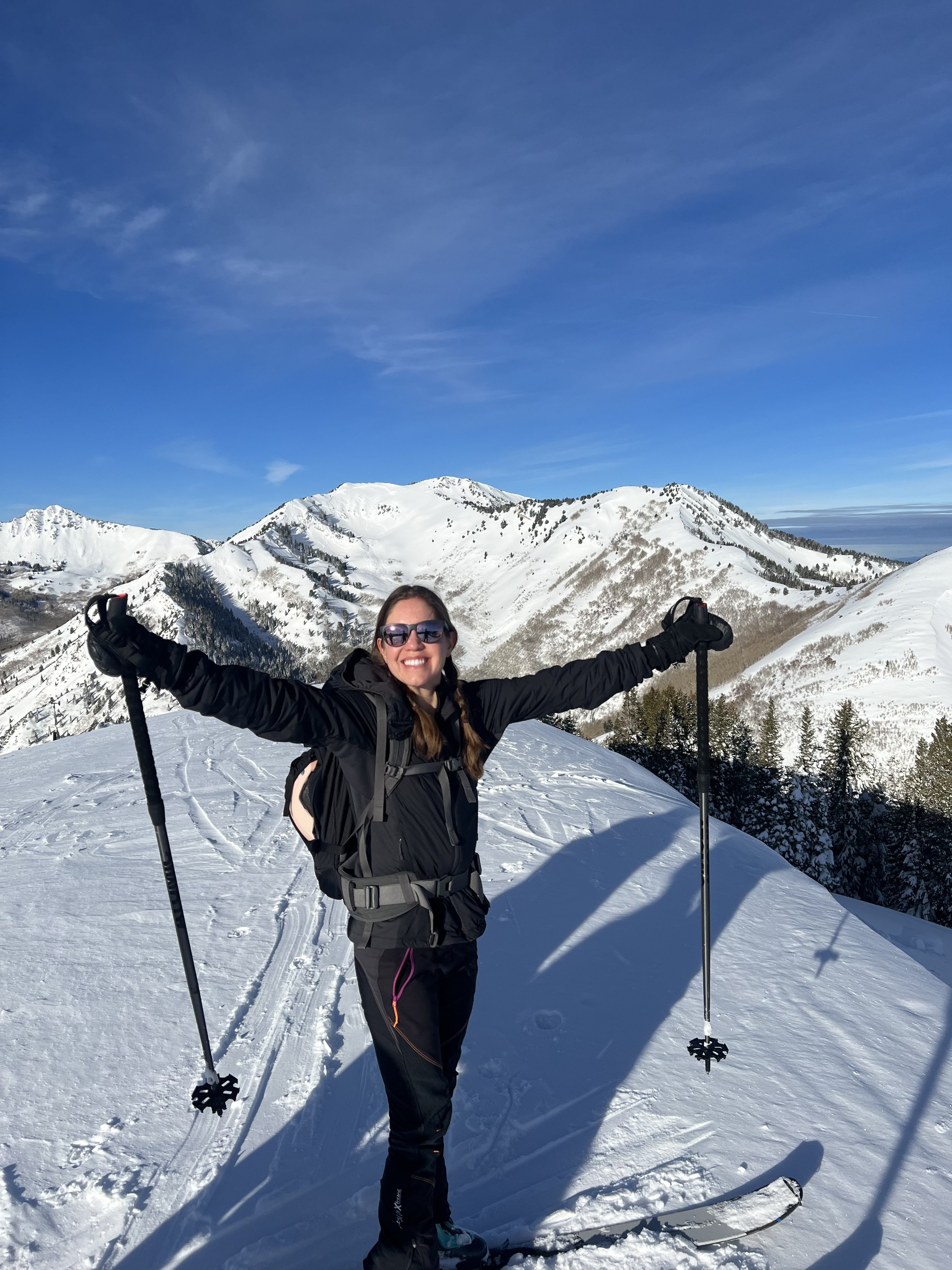
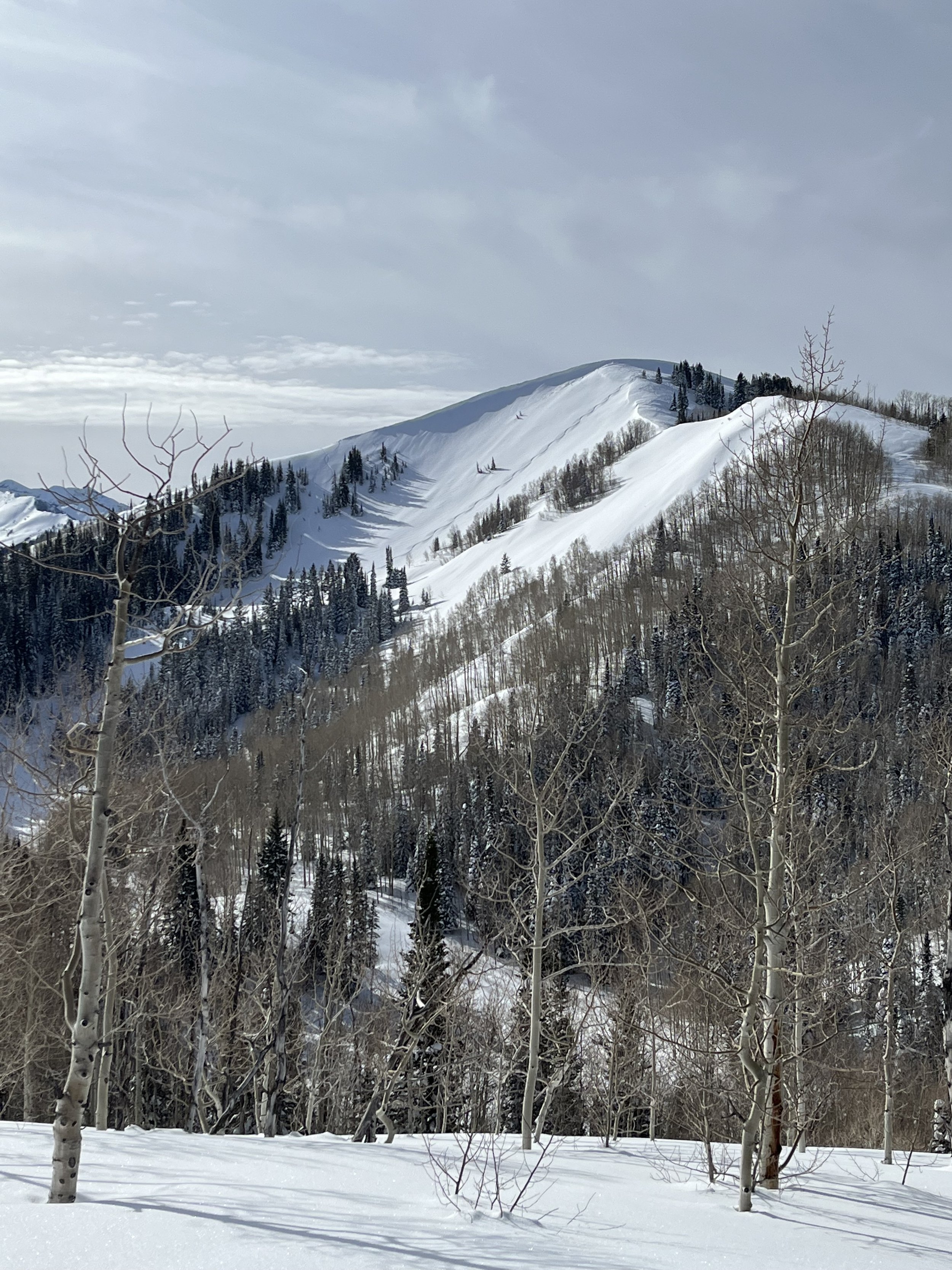
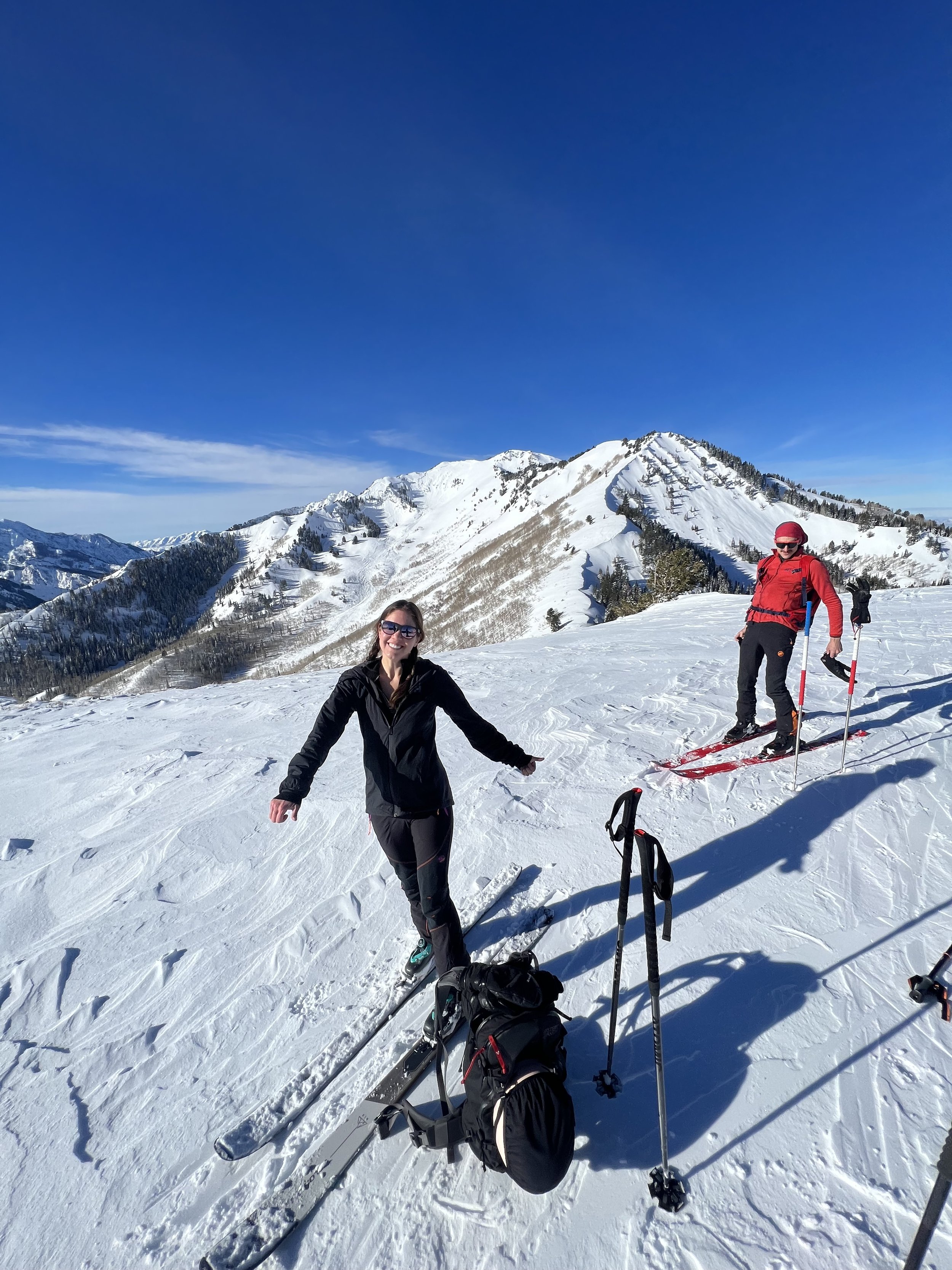
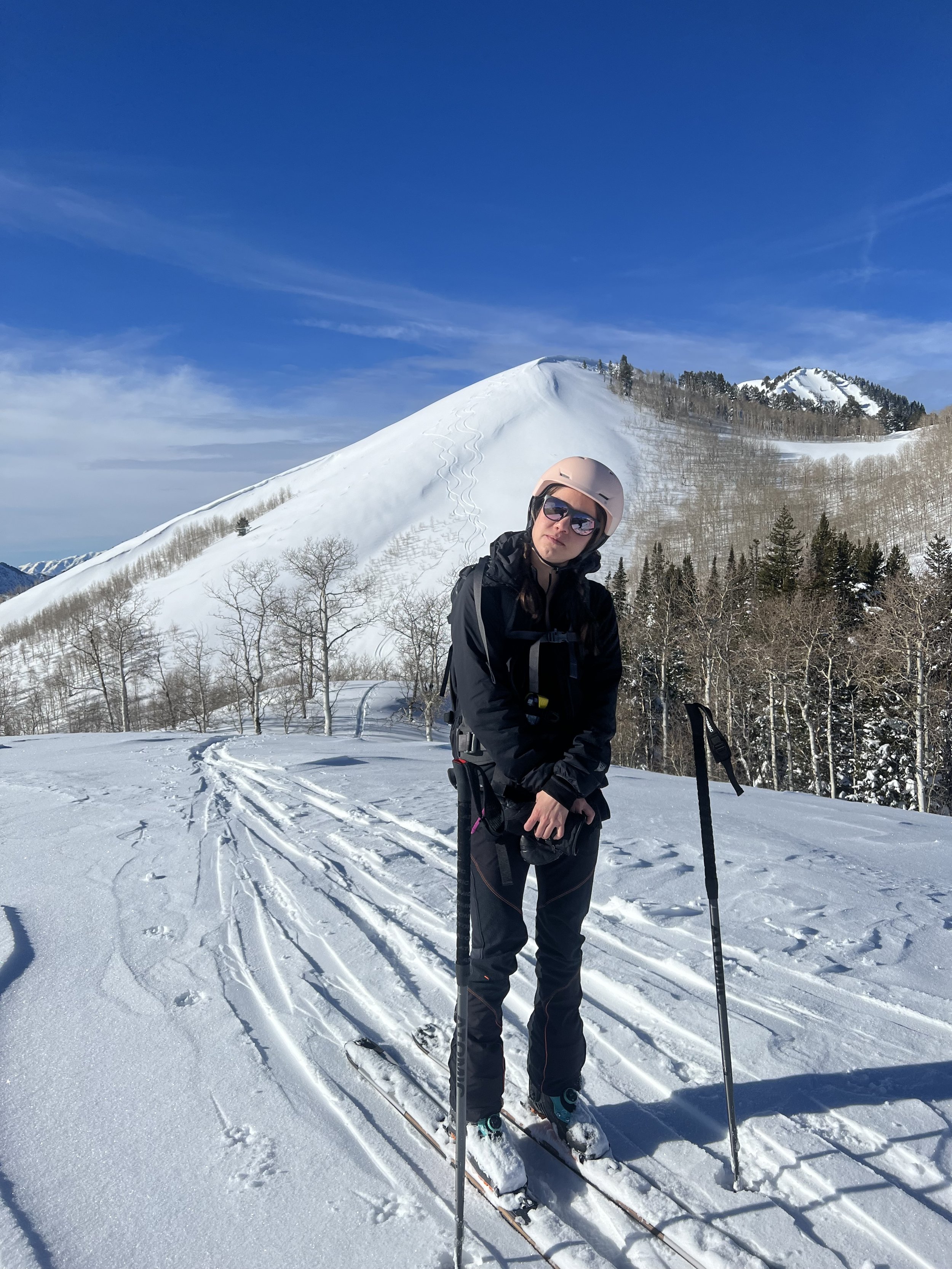
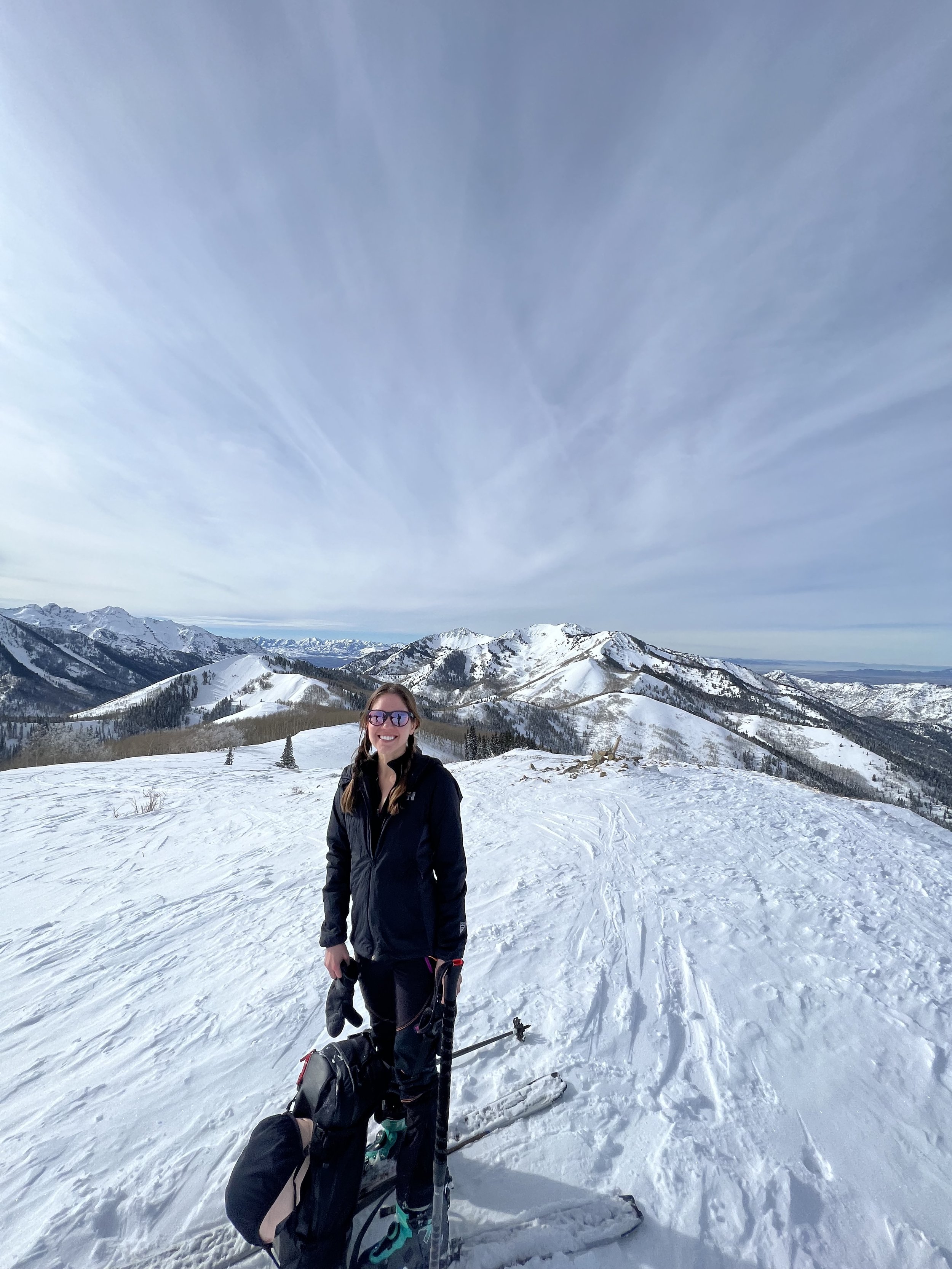
Summit 1 - Gobblers Knob - January 8, 2023
This 10,246ft summit is a staple of the Wasatch, primarily because it is accessible in some form, all year ‘round. It can be approached from both Millcreek Canyon, or Big Cottonwood Canyon—and is probably most frequented in the summer months. When I was sifting through the details of this project, I decided Gobblers Knob in particular would bode well as a winter tick since almost all of the ski lines from the summit are well within my ability; and the trick to completing this list—I think—is being able to cross off a fair amount of summits during Salt Lake’s very long winter, because there just aren’t enough dry days in a typical year.
7:30am: With ample morning light, we did a quick beacon check in the parking lot before starting our trip up the Bowman Fork skin track. Keenan, Steve, Tanguy, Jens, and myself had originally planned to gain the north ridge, tag the summit, and then ski back down to a lower angle run on the northeast side known as “Cabin Run” (a line I’ve skied before). We ascended casually with mild temps and mostly calm air, but the higher we got, the more the wind gusts picked up, and in direct correlation, the less visible the skin track became. After about 2 hours, we crested the ridge to find that it was mostly windblown and corniced heavily on the side above Alexander Basin. We took pause and considered if summiting was a reasonable idea, and then ultimately decided to press on, weaving our way up over intermittent crust and shallow, rocky sections.
At 11:08am we had reached the summit. Number 1, done.
Now to ski! Determined to escape the wind and ski some good snow, we decided to traverse the ridge to the southeast before ripping skins and check if the conditions on “Main Gobblers” were safe. They were, so we dropped just below the ridge to change over, and before we knew it, we were cruising down the mountain, one by one. As for conditions of the snow, I wouldn’t say it was perfect by any means—but it was soft enough, and the coverage was fair. No rocks, and the willows along the lower exit of the run were pretty tame. We continued to weave our way down through trees until we linked up to the main Porter Fork luge, and then the weaving morphed into dodging as it was now midday and the humans, dogs, and sleds were out in full force, all of which were off-leash.
Images below: On the summit, looking up the ridge to Gobblers Knob, and along the ridge looking down Millcreek Canyon.